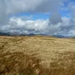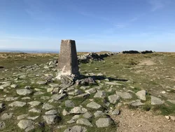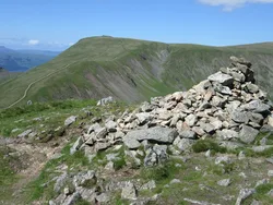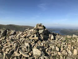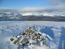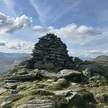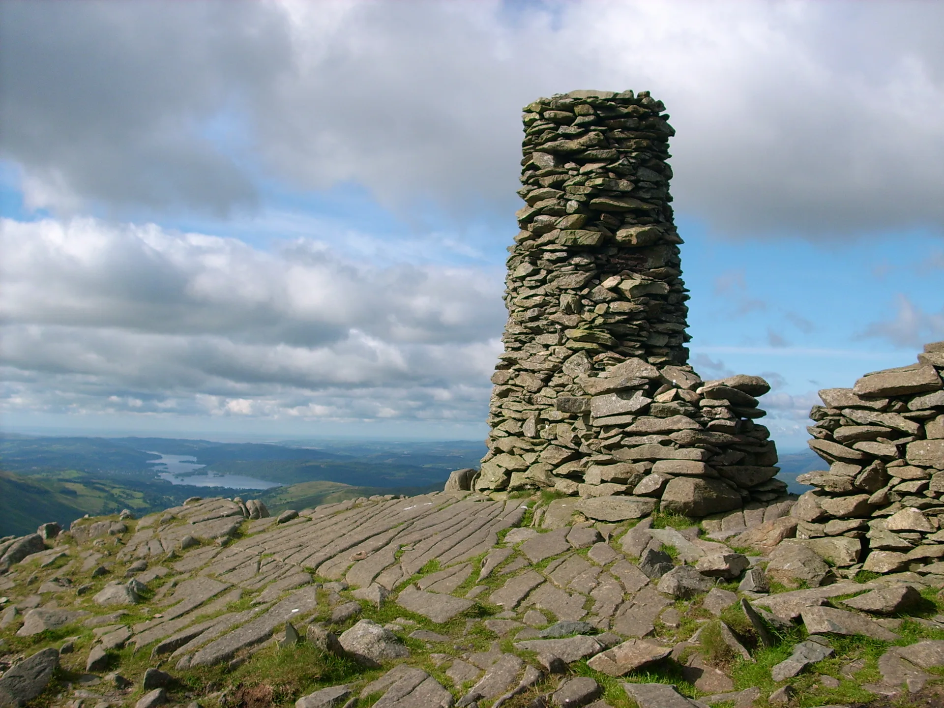


Thornthwaite Crag is known for Thornthwaite Beacon, a stone pillar about 4 m tall built into the angle of a wall on the grassy top. The beacon isn't quite the highest point, which is a rock a short way to the north. The Roman road over High Street climbs onto the plateau and skirts just east of the summit, and the name is thought to mean a clearing where thorn trees grew.
New to the Wainwrights?Read our guide: What Are The Wainwrights?Rock 45 m north of beacon and 10 m east of wall
Grassy plateau on volcanic rock, with crag and scree falling into the head of Kentmere.
HewittNuttallBirkettSyngeFellrangerSimm
Summit Weather
Our Route
Also on this route: Caudale Moor, Gray Crag, Hartsop Dodd
Safety: Routes are a guide only. Carry a map and compass and know how to use them, check the weather before you go, and turn back if in doubt. You use this route at your own risk.