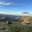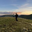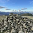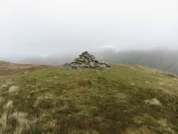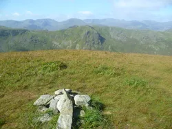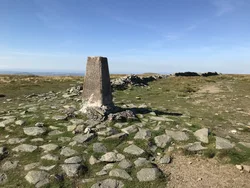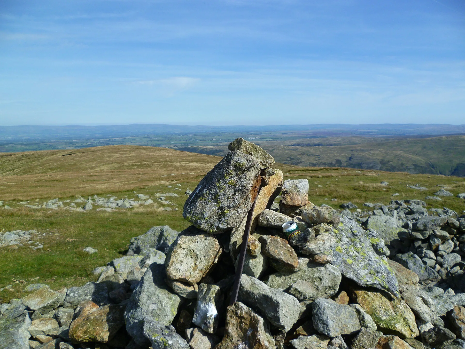


High Raise stands out from its grassy neighbours on the High Street range for its stony top, with a large cairn just east of the line of the Roman road. Its eastern slopes drop to Haweswater, where the village of Mardale Green was drowned when the reservoir was raised in the 1930s. At the end of its south-east ridge, Castle Crag carries the remains of an ancient hill fort, with earthworks still partly visible.
New to the Wainwrights?Read our guide: What Are The Wainwrights?Cairn
Stony summit on a grassy ridge, with scree to the west and crags above Haweswater.
HewittNuttallBirkettSyngeFellrangerSimm
Summit Weather
Our Route
Also on this route: Rest Dodd, The Nab
Safety: Routes are a guide only. Carry a map and compass and know how to use them, check the weather before you go, and turn back if in doubt. You use this route at your own risk.