


Hill data: The Database of British and Irish Hills v18.6 (CC BY 4.0)Height739 m2,425 ft
Grid RefNY 43711 12681
OS MapOL5OS Explorer
BookFar Eastern FellsBook 2
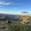
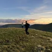
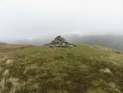
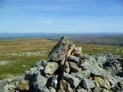
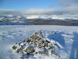
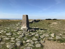
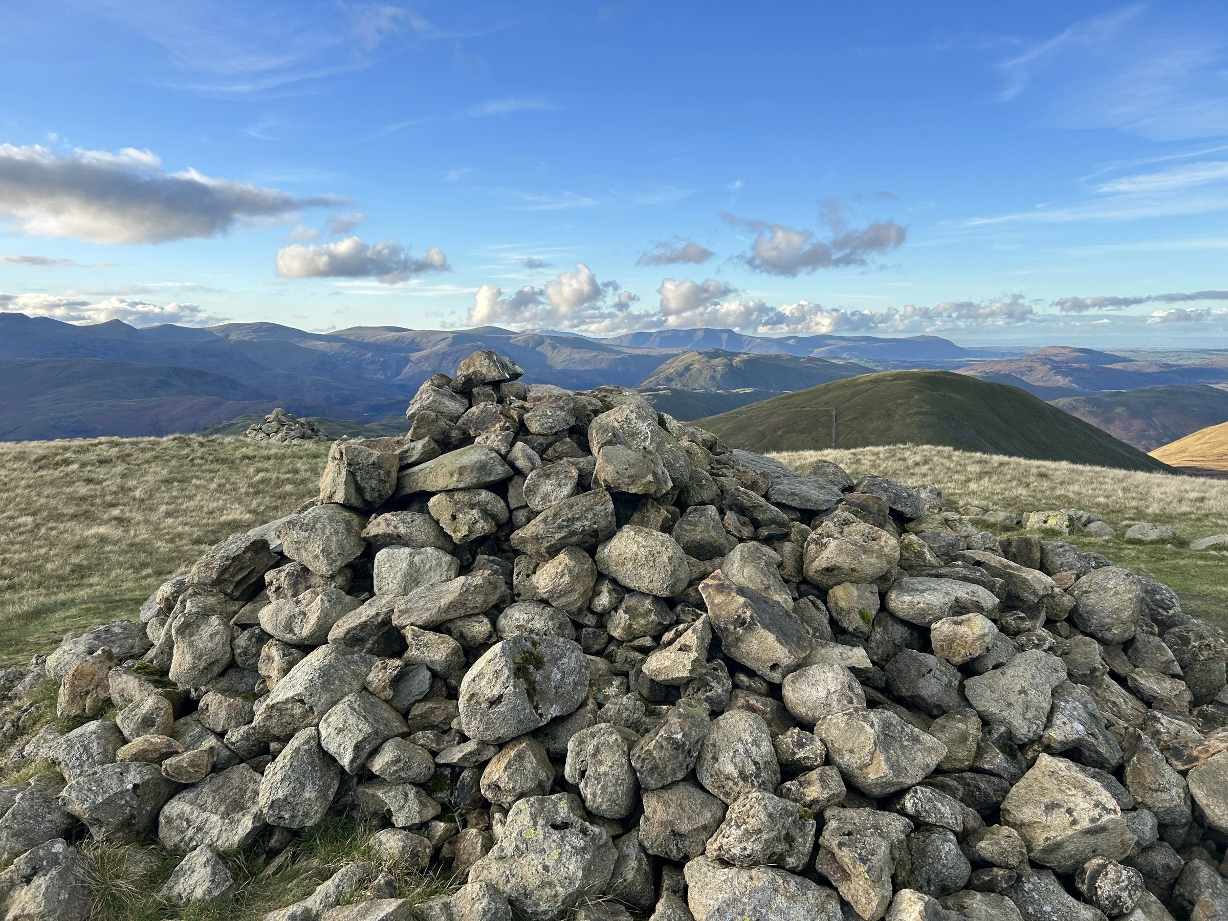
The Knott is a grassy knoll on the broad ridge north of High Street, with a small cairn a few metres from a ridge wall. From the Hartsop side it looks like a neat cone, rising over steep scree straight above Hayeswater, and the usual way up follows an old zig-zag path from the tarn. To the west it gives a clear look at Ullswater and all of the 3,000-foot tops.
New to the Wainwrights?Read our guide: What Are The Wainwrights?Summit
Cairn
Rock & Ground
Grassy summit dome above steep scree slopes and a deep gully on the Hayeswater side.
Also On These Lists
BirkettSynge
Summit Weather
Our Route
Distance9.1 mi14.6 km
Ascent870 m2,850 ft
Time5h 05mwalking
Start & FinishMardale Head Car ParkNY 4695 1073 · circular route
DirectionsAlso on this route: High Street, Rampsgill Head, Kidsty Pike, Harter Fell (Mardale), Mardale Ill Bell
Safety: Routes are a guide only. Carry a map and compass and know how to use them, check the weather before you go, and turn back if in doubt. You use this route at your own risk.