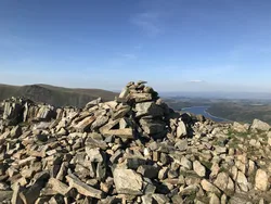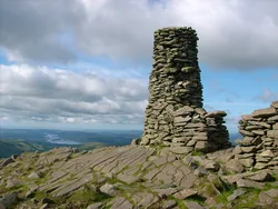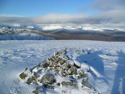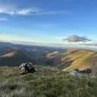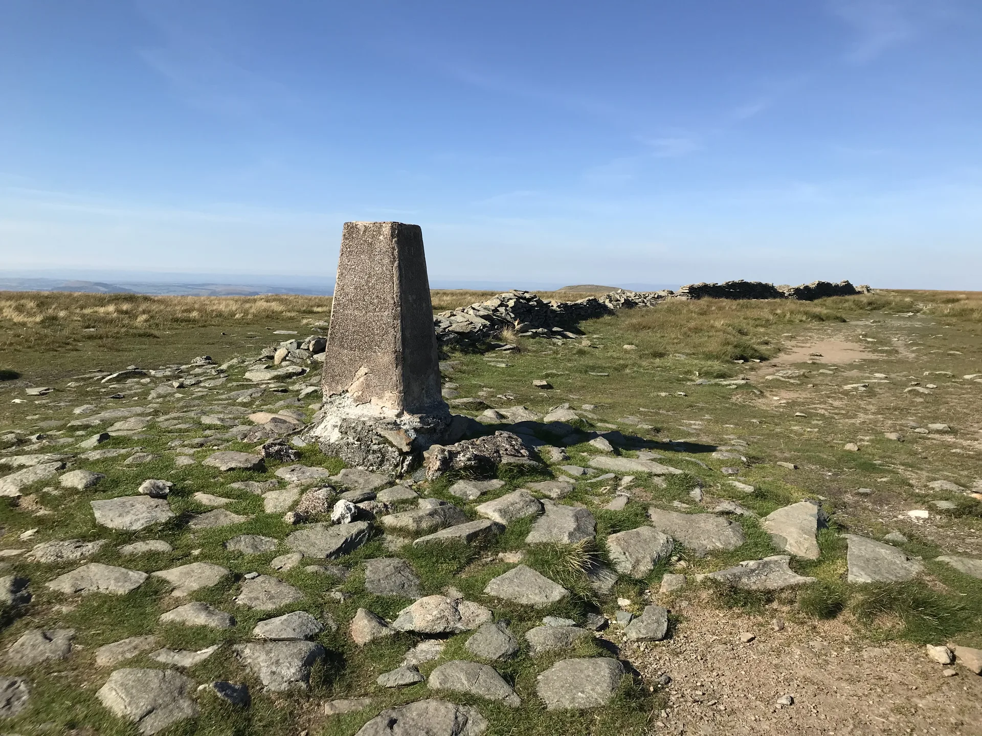


High Street takes its name from the Roman road that crosses its flat top, linking the forts at Brougham and Ambleside, and it's the highest Roman road in England. Maps call the summit Racecourse Hill, because summer fairs with horse racing, wrestling and games were held up here until 1835. A wall runs across the plateau past the white-painted trig point, though the true high point is a short way north-east, and below the eastern crags lies Blea Water, the deepest tarn in the Lake District.
New to the Wainwrights?Read our guide: What Are The Wainwrights?No marker: 90 m north-east of trig point at NY 44077 11049
A broad, flat grassy plateau, breaking into steep crags and corries on the east.
HewittNuttallBirkettSyngeFellrangerMarilynSimm
Summit Weather
Our Route
Also on this route: Rampsgill Head, Kidsty Pike, Harter Fell (Mardale), Mardale Ill Bell, The Knott
Safety: Routes are a guide only. Carry a map and compass and know how to use them, check the weather before you go, and turn back if in doubt. You use this route at your own risk.