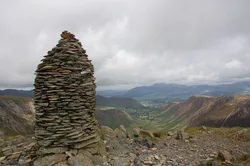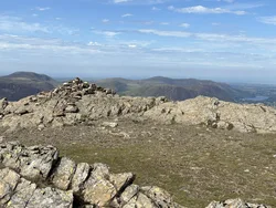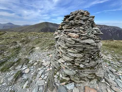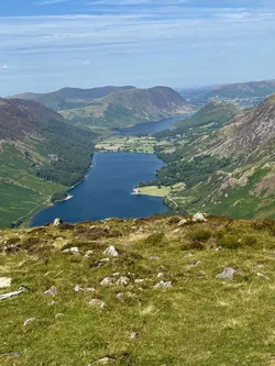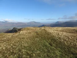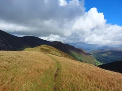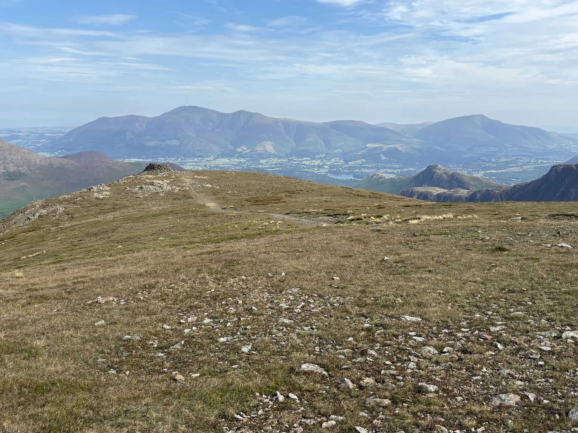


Hindscarth's name comes from two Old Norse words and is thought to mean the pass used by deer. A rock by a windshelter marks the highest point, and the top is a mix of grass and gravel with a good view down the Newlands valley to Skiddaw. At Scope End, at the foot of its northern ridge, is Goldscope Mine, opened in 1564 by German miners for copper and lead, and later claimed for the Crown by Elizabeth I.
New to the Wainwrights?Read our guide: What Are The Wainwrights?Rock by windshelter
Folded mudstone, siltstone and sandstone of the Buttermere Formation; grass and gravel on top, steep sides.
HewittNuttallBirkettSyngeFellrangerSimm
Summit Weather
Our Route
Also on this route: Robinson, Ard Crags, Knott Rigg
Safety: Routes are a guide only. Carry a map and compass and know how to use them, check the weather before you go, and turn back if in doubt. You use this route at your own risk.