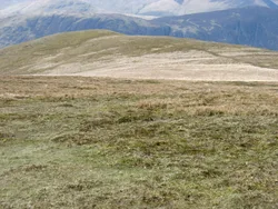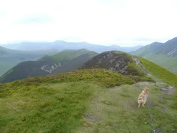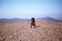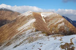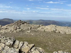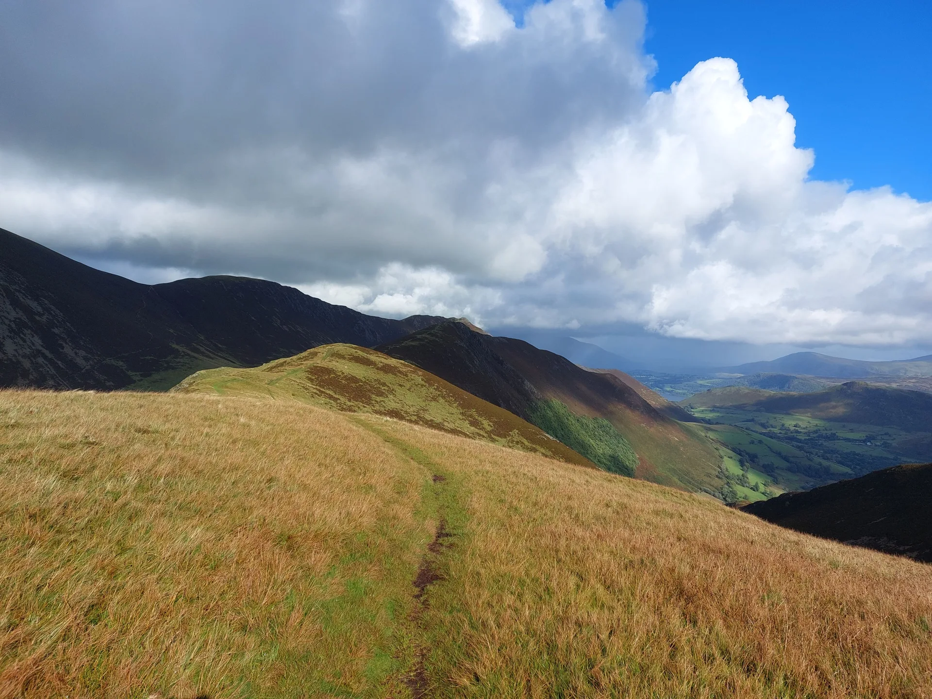


Knott Rigg is a narrow ridge running north-east from Newlands Hause towards Ard Crags, with steep sides falling to Sail Beck on one hand and the Newlands road on the other. From the Hause it looks like a sharp cone, though its actual top, marked only by a small pile of stones, is out of sight. The name is said to come from Old English for 'hill on a knobbly ridge', and the view east takes in the Skiddaw and Helvellyn ranges between Sail and Robinson.
New to the Wainwrights?Read our guide: What Are The Wainwrights?Ground 1 m west of small pile of stones
Sheared, folded mudstone, siltstone and sandstone with minor basalt intrusions, forming a steep-sided ridge.
DeweyBirkettSyngeFellranger
Summit Weather
Our Route
Also on this route: Robinson, Hindscarth, Ard Crags
Safety: Routes are a guide only. Carry a map and compass and know how to use them, check the weather before you go, and turn back if in doubt. You use this route at your own risk.