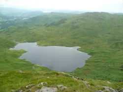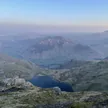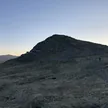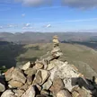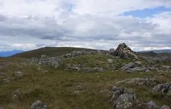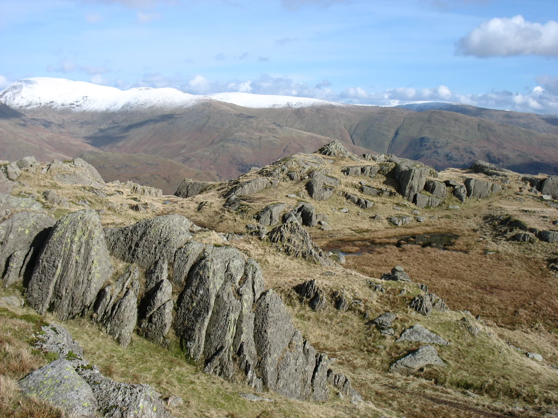


Blea Rigg is a wide, confusing plateau of rocky knolls, small tarns and crisscrossing paths between Great Langdale and Easedale. Its cairn sits on rock above a stone shelter, though a knoll a short way west-south-west is actually higher. Before the Second World War there was a stone refreshment hut on its slopes above Easedale Tarn, and Stickle Tarn, dammed to supply Great Langdale with water, lies at its western end.
New to the Wainwrights?Read our guide: What Are The Wainwrights?Cairn
Pebbly volcanic sandstone and breccia forming a broad plateau of knolls and tarns.
BirkettSyngeFellranger
Summit Weather
Our Route
Also on this route: Tarn Crag (Easedale), Calf Crag, Gibson Knott, Helm Crag, Silver How
Safety: Routes are a guide only. Carry a map and compass and know how to use them, check the weather before you go, and turn back if in doubt. You use this route at your own risk.