


Hill data: The Database of British and Irish Hills v18.6 (CC BY 4.0)Height483 m1,585 ft
Grid RefNY 42765 03217
OS MapOL7OS Explorer
BookFar Eastern FellsBook 2
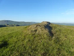
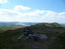
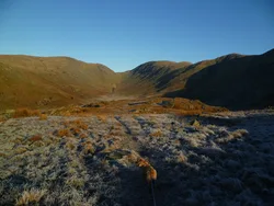
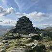
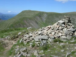
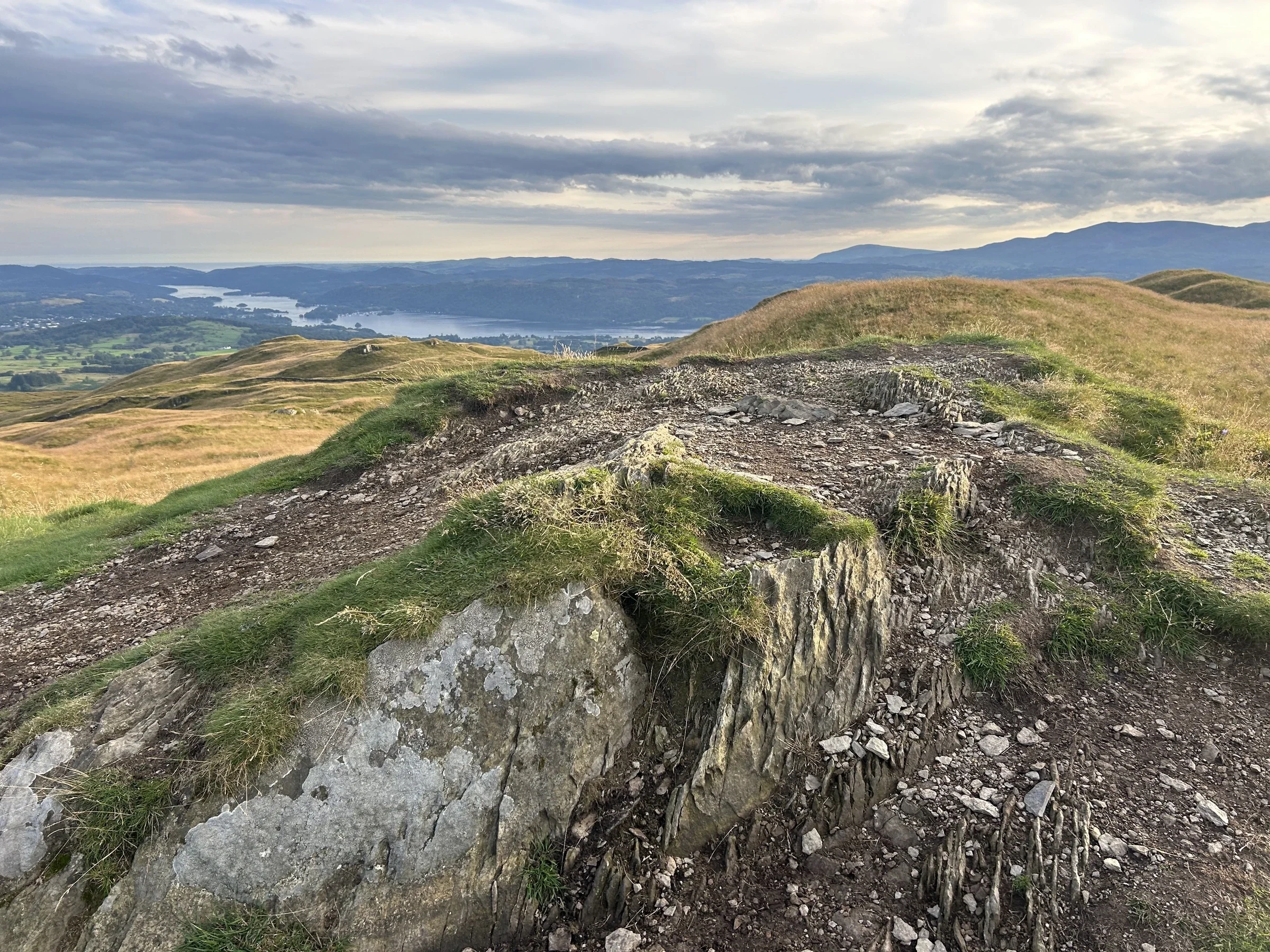
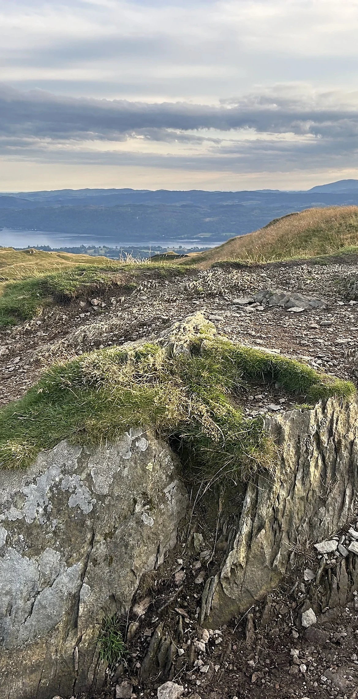
Sour Howes sits between the Troutbeck and Kentmere valleys, its top a string of grassy knolls crossed by a high drystone wall that runs on to Sallows. On the heather of the eastern slopes there are grouse butts, and the old Applethwaite quarry, now wooded, lies beside the Garburn track. For a small fell the view is a good one, with Windermere and Morecambe Bay to the south.
New to the Wainwrights?Read our guide: What Are The Wainwrights?Summit
Grassy hummock
Rock & Ground
Mostly grass with heather on the east, a steep drop west to Troutbeck.
Also On These Lists
BirkettSynge
Summit Weather
Our Route
Distance12.1 mi19.5 km
Ascent990 m3,250 ft
Time6h 35mwalking
Start & FinishRoadside parkingNY 4125 0272 · circular route
DirectionsAlso on this route: Ill Bell, Froswick, Yoke, Sallows, Troutbeck Tongue
Safety: Routes are a guide only. Carry a map and compass and know how to use them, check the weather before you go, and turn back if in doubt. You use this route at your own risk.