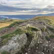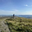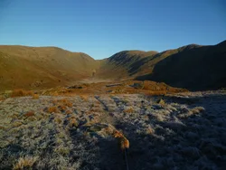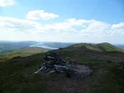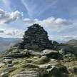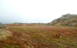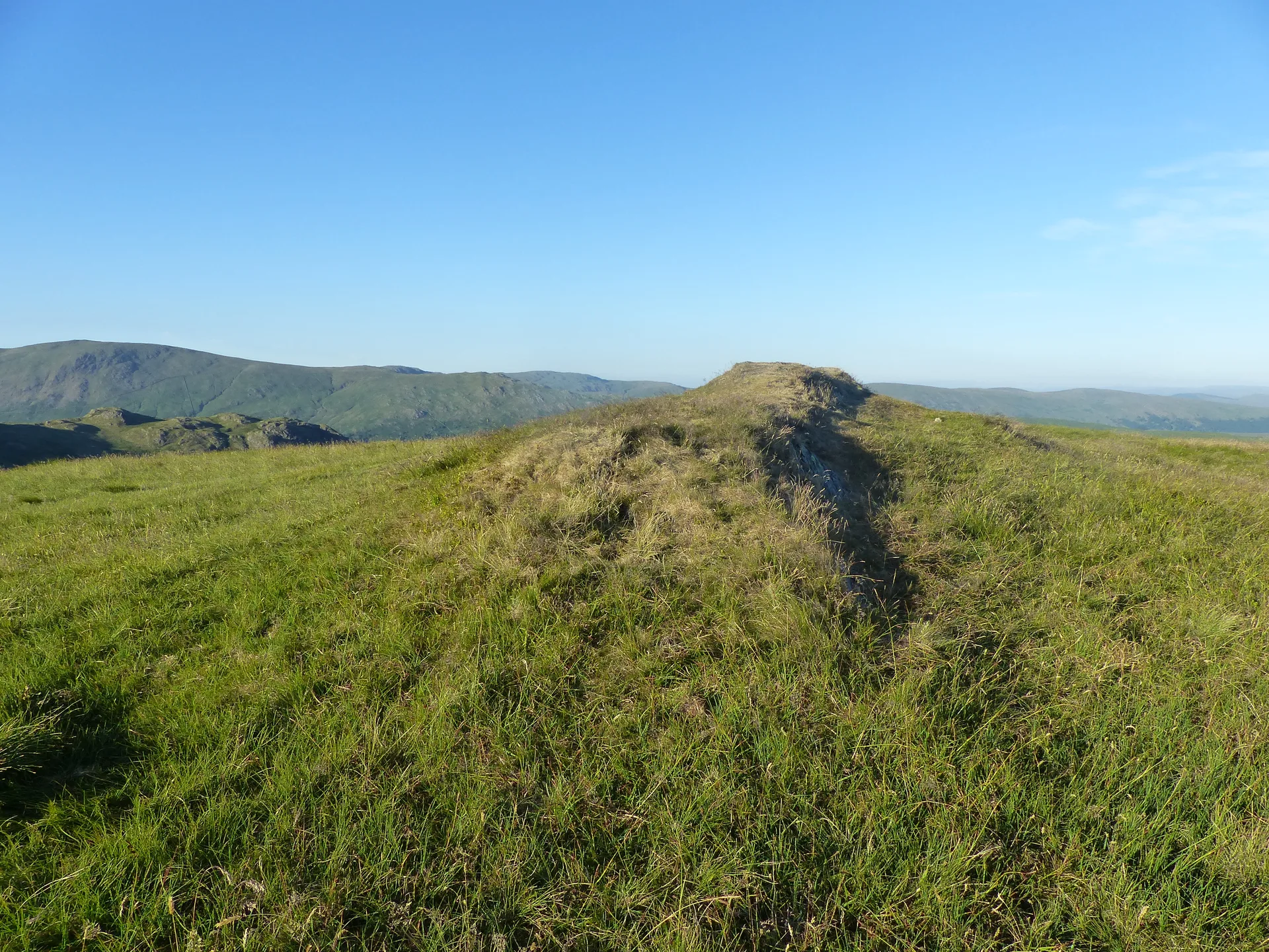


Sallows sits at the southern end of the Kentmere fells, with the old Garburn Pass trade route between Troutbeck and Kentmere running below it to the north, and its top is a grassy mound with a short curving ridge of shale. Down in the valley, Kentmere Tarn was drained in the 1830s, and diatomite was later dug from the old bed until 1971, leaving the lake seen today. Westward the view takes in the Scafells and Coniston fells.
New to the Wainwrights?Read our guide: What Are The Wainwrights?Shale and grass mound
Grass and heather with a shaly summit ridge, smooth slopes south and low crags to the east.
DeweyBirkettSyngeFellranger
Summit Weather
Our Route
Also on this route: Ill Bell, Froswick, Yoke, Sour Howes, Troutbeck Tongue
Safety: Routes are a guide only. Carry a map and compass and know how to use them, check the weather before you go, and turn back if in doubt. You use this route at your own risk.