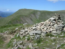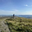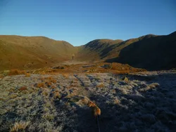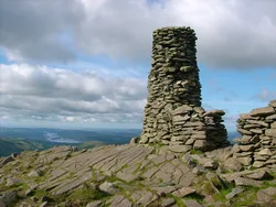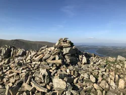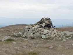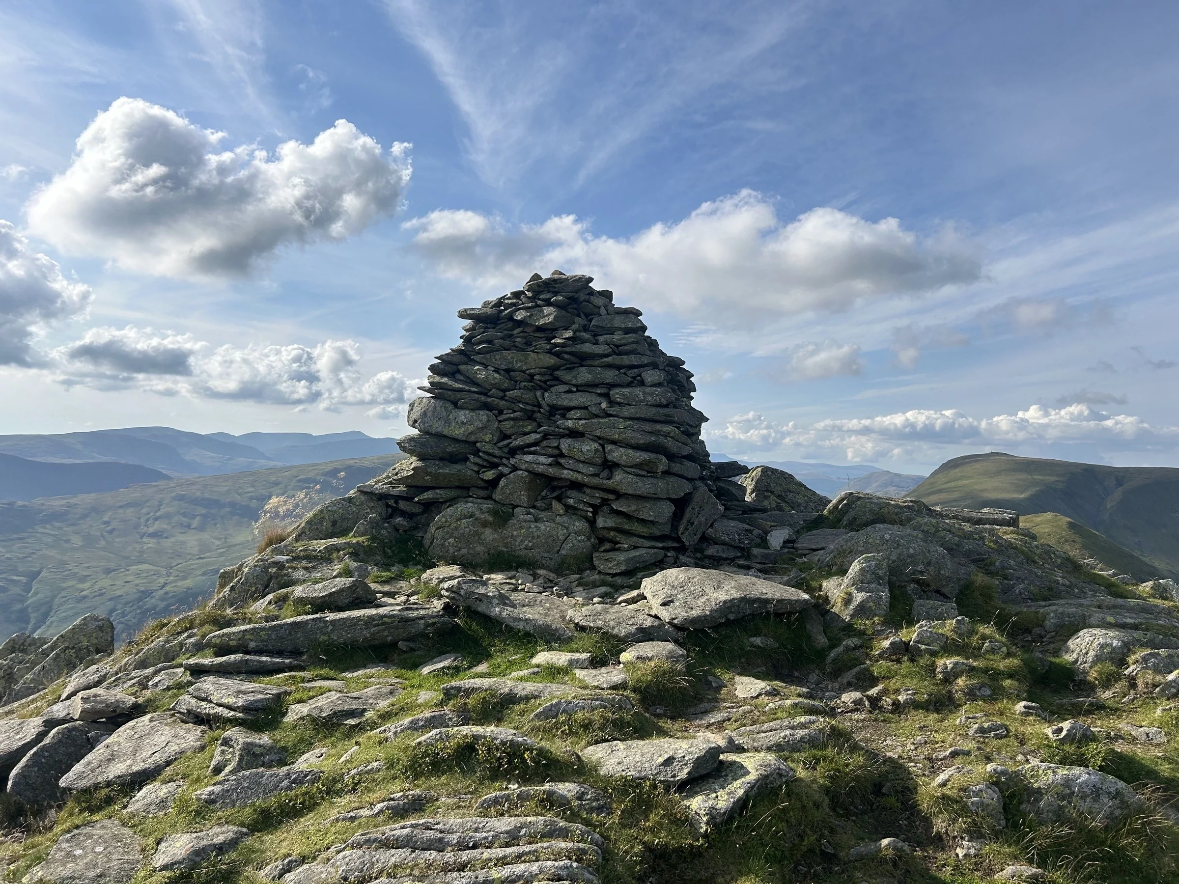

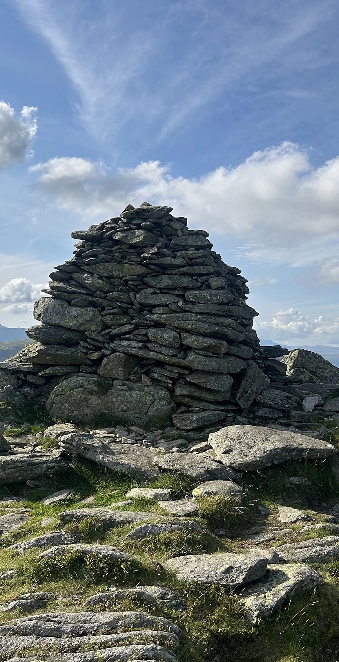


Ill Bell is the sharp, stony middle peak of the ridge between Froswick and Yoke, and its narrow top carries tall, column-like cairns that you can pick out from far down the valley. The name may simply mean 'hill bell', which suits its bell shape from some angles. Westward it falls smoothly to Hagg Gill, while the Kentmere side is rough crag and scree dropping towards Kentmere Reservoir.
New to the Wainwrights?Read our guide: What Are The Wainwrights?North of two large cairns 30 m apart
Small stony summit; smooth grassy slopes to the west, crag and long scree to the east.
HewittNuttallBirkettSyngeFellrangerHuMPSimm
Summit Weather
Our Route
Also on this route: Froswick, Yoke, Sallows, Sour Howes, Troutbeck Tongue
Safety: Routes are a guide only. Carry a map and compass and know how to use them, check the weather before you go, and turn back if in doubt. You use this route at your own risk.