



Contents
Overview
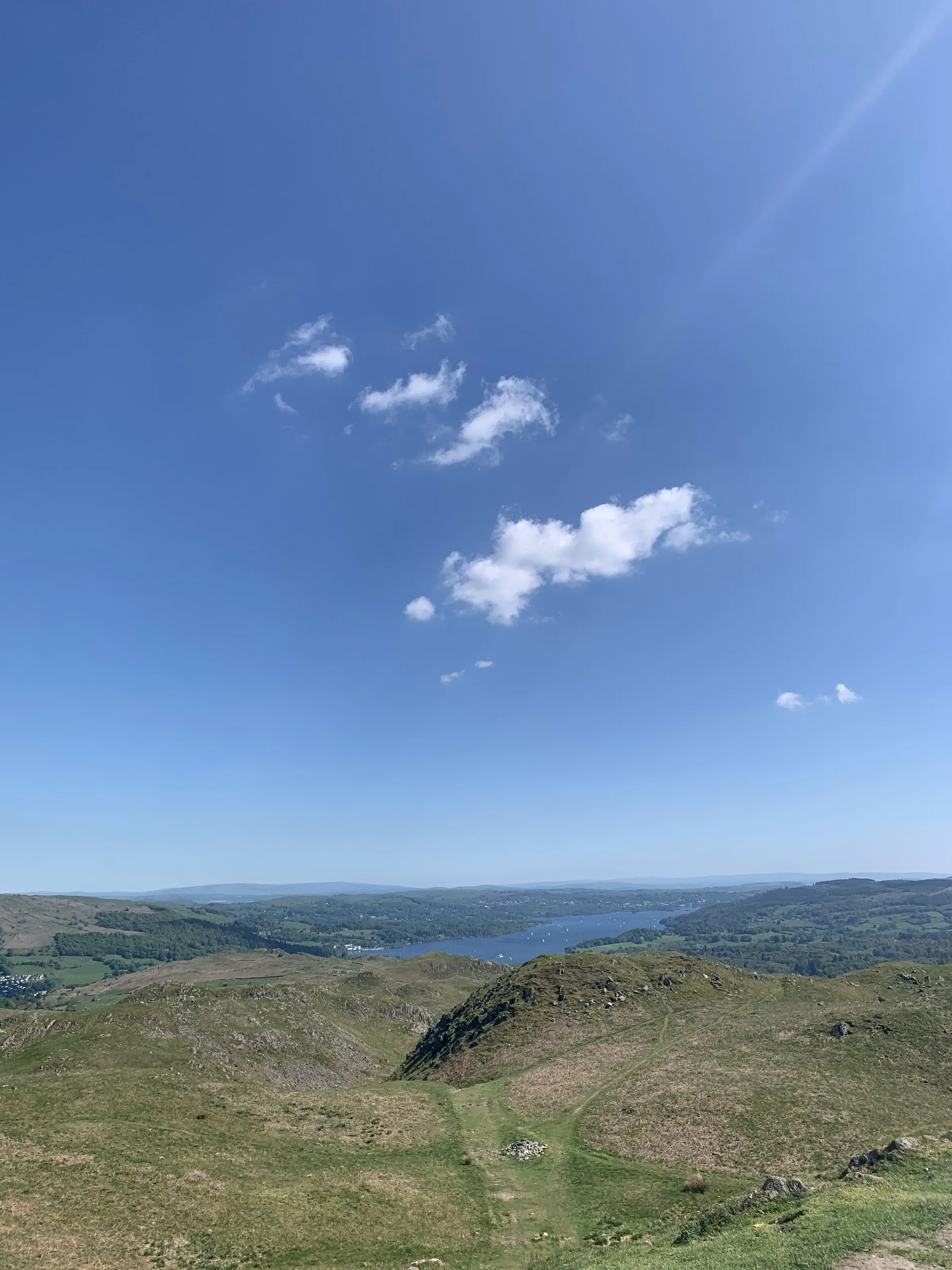
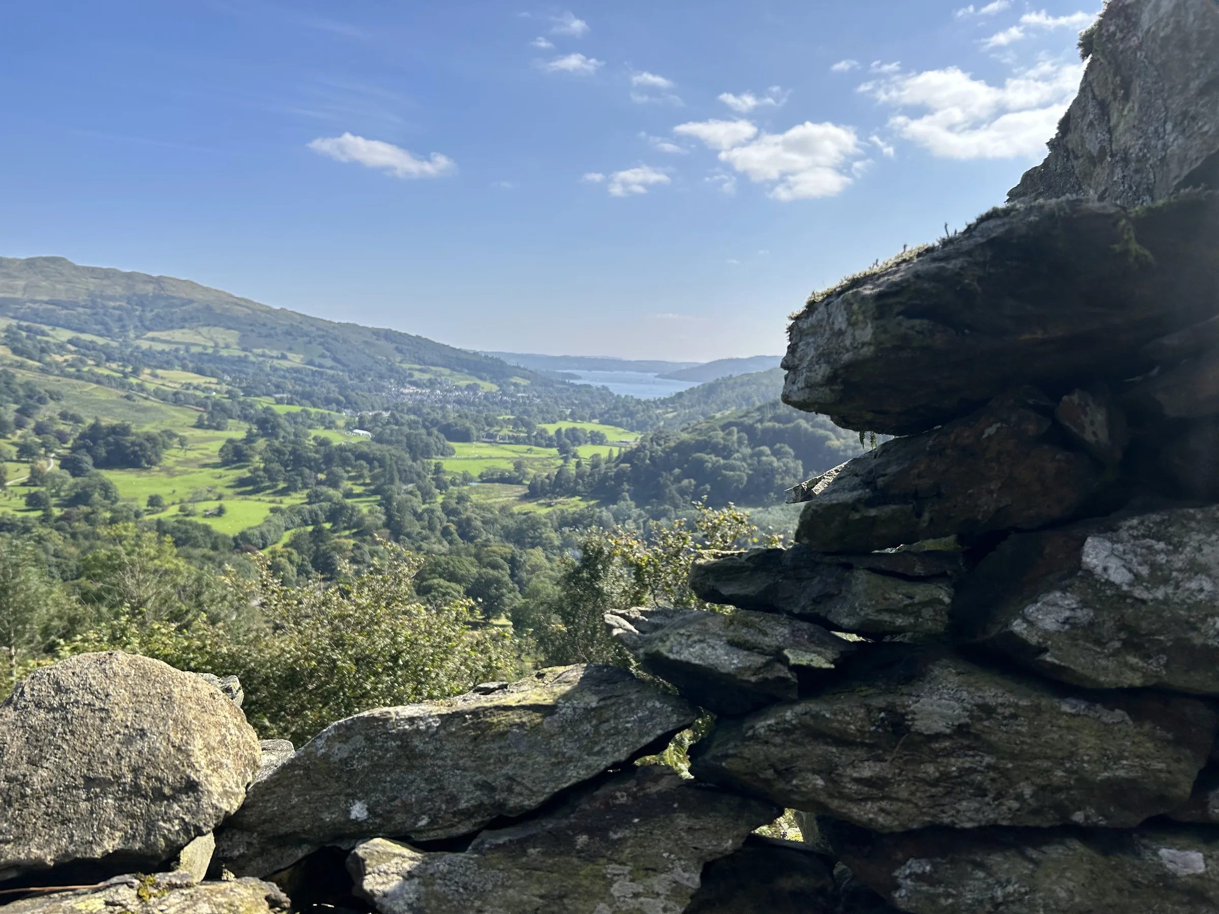
Few small hills give back as much as Loughrigg. At 335m it is one of the lower Wainwrights, yet its knobbly top looks down on Grasmere, Rydal Water and much of Windermere. Tucked into its northern slope is Rydal Cave, an old slate quarry that runs about 45m into the hillside, with stepping stones across the pool on its floor.
This short loop starts at White Moss, crosses the River Rothay and follows the track along the south side of Rydal Water to the cave. From there a steep, stony path climbs straight up to the trig point on the summit of Loughrigg. You drop west to Loughrigg Terrace, the level path with the famous view along Grasmere to Helm Crag, then down to where the River Rothay leaves the lake, and back beside the river to the car park. This walk takes in one Wainwright: Loughrigg Fell. Find all 214 on our Wainwrights map.
Go prepared, stay safe,
and enjoy the hike!
Key Info
Crowds
High
Loughrigg is small, easy to reach and hugely popular, so the Terrace and Rydal Cave can get busy on fine days. Weekends and bank holidays are the worst. Weekday mornings and evenings are the time to come if you want it calmer.
When it gets busy
- Weekends and bank holidays
- Fine, sunny days
- Rydal Cave, where lots of people stop and step inside
- White Moss car park on fine weekends and in the holidays
For a quieter walk
- Come early in the morning or late in the evening on a weekday
- Arrive early to beat the crowds and get a parking space
- Avoid weekends and bank holidays if you can
- Explore the knolls and tarns on the broad summit, away from the main path up
- Leave the car behind: the 555 bus serves Ambleside and Grasmere, and you can walk in from either
Our crowd rating is for a typical sunny weekend in spring or summer, in the middle of the day. Timing makes a big difference, so even a busy walk can be quiet early, late or midweek.
The Route
Disclaimer: Route information and GPX files are provided for general guidance only. Conditions can change, so always use your own judgement and navigate responsibly. See our Terms of Use & Disclaimer for more information.
Route Guide
- 1
Over the river to Rydal Water0.5 mi · 20m up · 10m downFrom the car park, cross the River Rothay by the footbridge and follow the path south through the trees. At the track along the foot of the fell, turn left, with Rydal Water through the trees on your left.
- 2
Up to Rydal Cave0.3 mi · 55m up · 5m downWhere the track forks, take the upper, right-hand branch, which rises above the lake to Rydal Cave. Step inside: the stepping stones take you across the pool to the back of the cavern.
- 3
Steep climb to the summit0.7 mi · 210m up · 5m downBehind the cave a steep, stony path heads south-west straight up the fellside. It eases as you reach the top, then winds between little knolls to the trig point on the summit, with Windermere to the south and Grasmere and Rydal Water below.
- 4
Down to Loughrigg Terrace0.5 mi · 175m downLeave the summit heading west-north-west on the path down the fellside, not the stepped path that drops to your right. It comes down to a lane.
- 5
Along the Terrace and down0.6 mi · 15m up · 100m downTurn right along the lane and go straight on along the track where the lane turns away to the left. This is Loughrigg Terrace, with the classic view along Grasmere on your left. At its end, the path drops through the woods to the River Rothay.
- 6
Back by the river0.4 mi · 10m up · 20m downCross the River Rothay by the wooden footbridge and follow the path east through the woods, close to the river, back to the car park.
Use the route on OS Maps, AllTrails or Komoot to navigate on the day; this guide is for planning.
Parking
The walk starts from the lower White Moss car park (LA22 9SE), on the south side of the A591 between Grasmere and Rydal. It is run by the Lowther Estate and has around 80 spaces, with about 60 more in the upper car park across the road. There are disabled spaces and public toilets next to the car park. Pay at the machine or with the Flowbird app. Cameras record your car in and out, and you can't come back on the same ticket. It costs £5 for up to 2 hours, then £2.20 for each extra hour, so £7.20 for 3 hours or £9.40 for 4. The walk takes 2 to 2½ hours, so 4 hours gives you time to explore the cave and stop on the Terrace. It fills up early on fine weekends and in the holidays. Check the latest prices here.
*Prices correct at time of writing; check before you travel.
Facilities & Hospitality
Public toilets with baby changing about 40m from the car park. In summer there's often an ice cream van across the road. There are no toilets on the walk itself.
A 400-year-old inn on the main road at Rydal, a few minutes' drive from the car park, with four local ales, around 40 whiskies and pub classics like fish and chips and Cumberland sausage. There are twelve rooms with free Wi-Fi, and dogs are welcome.
At Rydal Hall, the Café at Rydal in the Old School Room serves home-made soup, sandwiches and cakes, with gluten-free and dairy-free choices and plenty of seats outside. The hall has rooms to stay, and its gardens hide the Grot, a little summer house built to look onto a waterfall, which Wordsworth wrote about in a poem published in 1793.
Weather
Hike Videos
Note: Videos are made by other walkers, not The Lost Peak. They may not follow this exact route, and paths, conditions and facilities may have changed since filming.
Photo Gallery
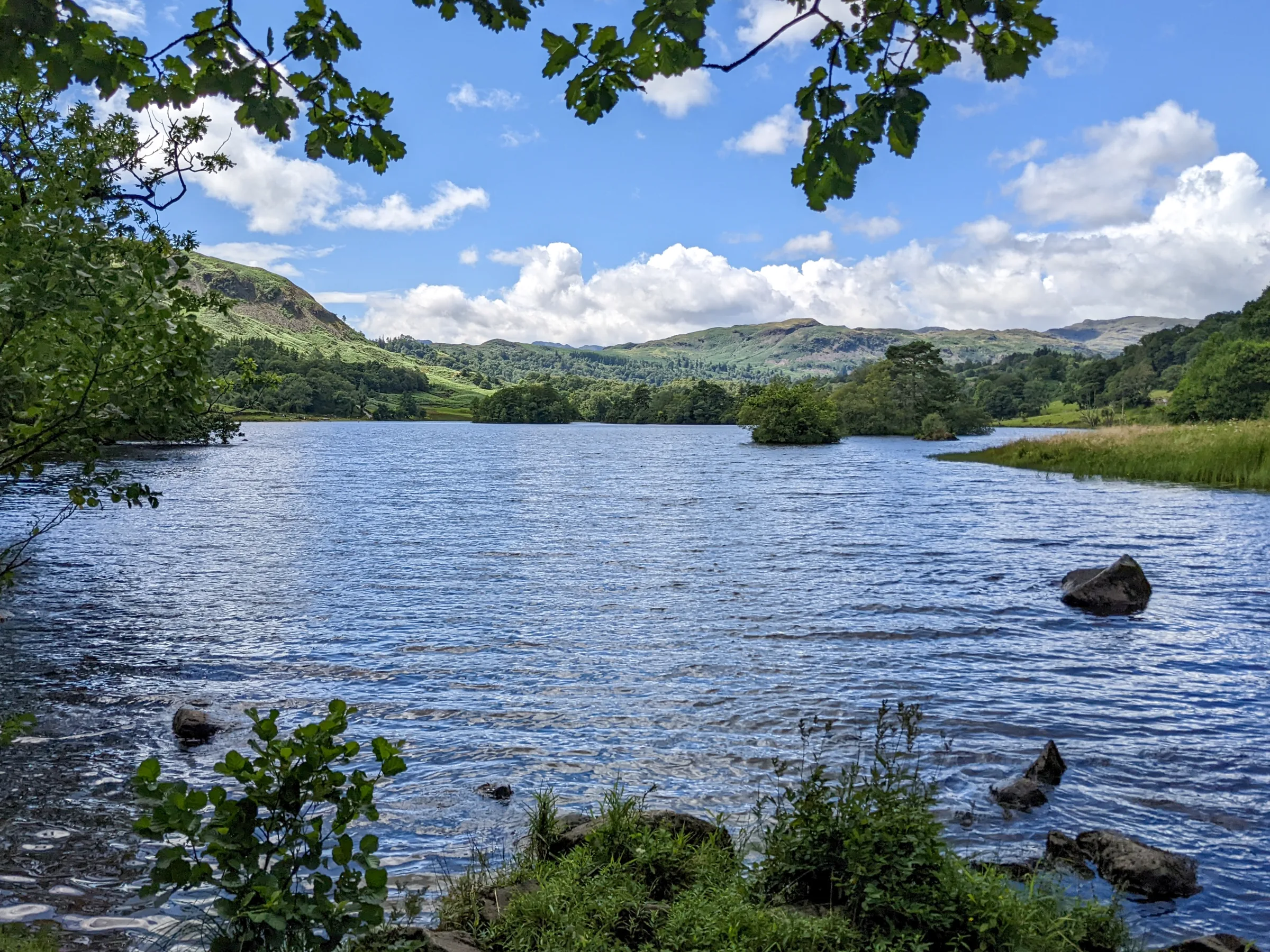
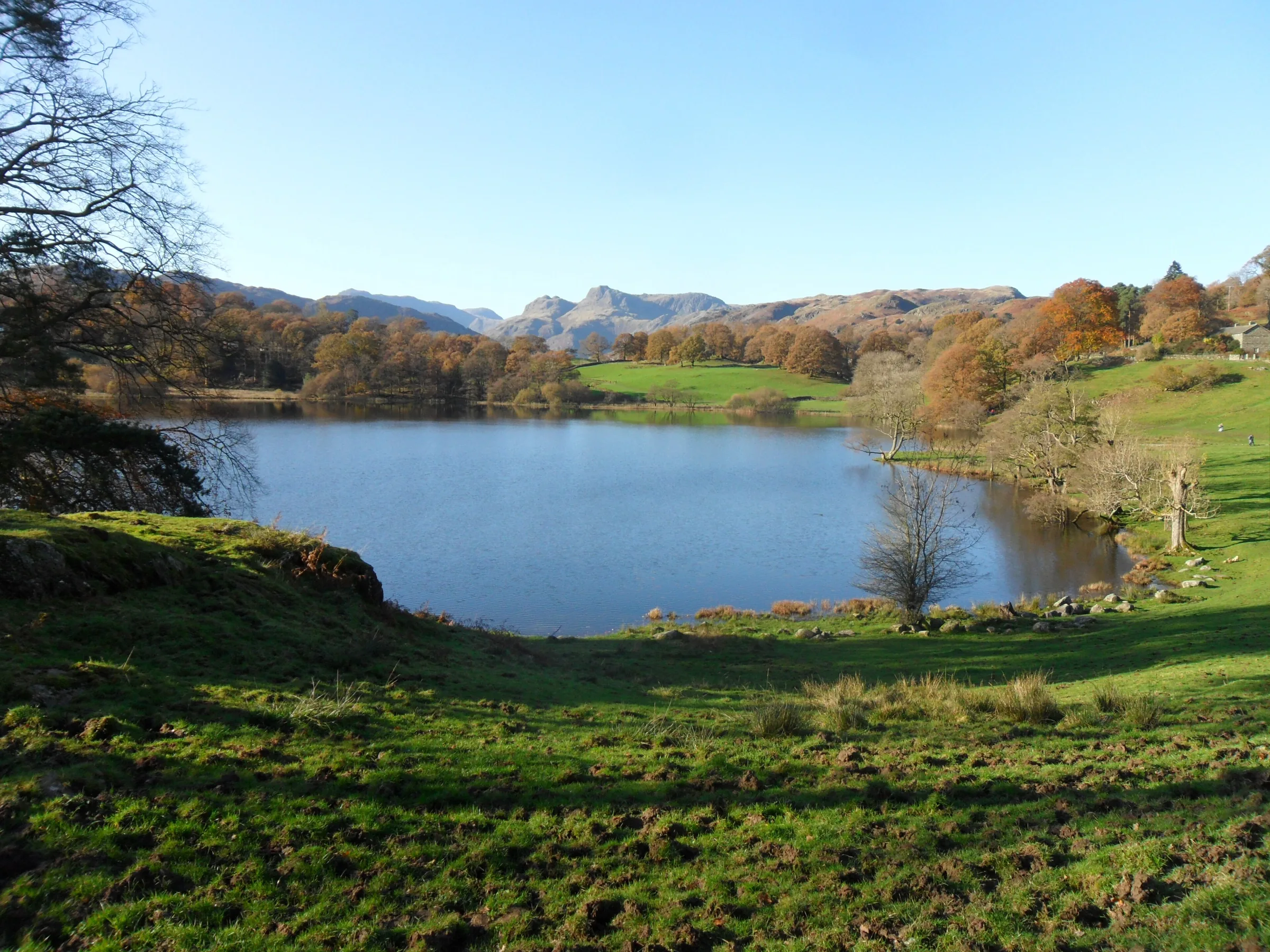
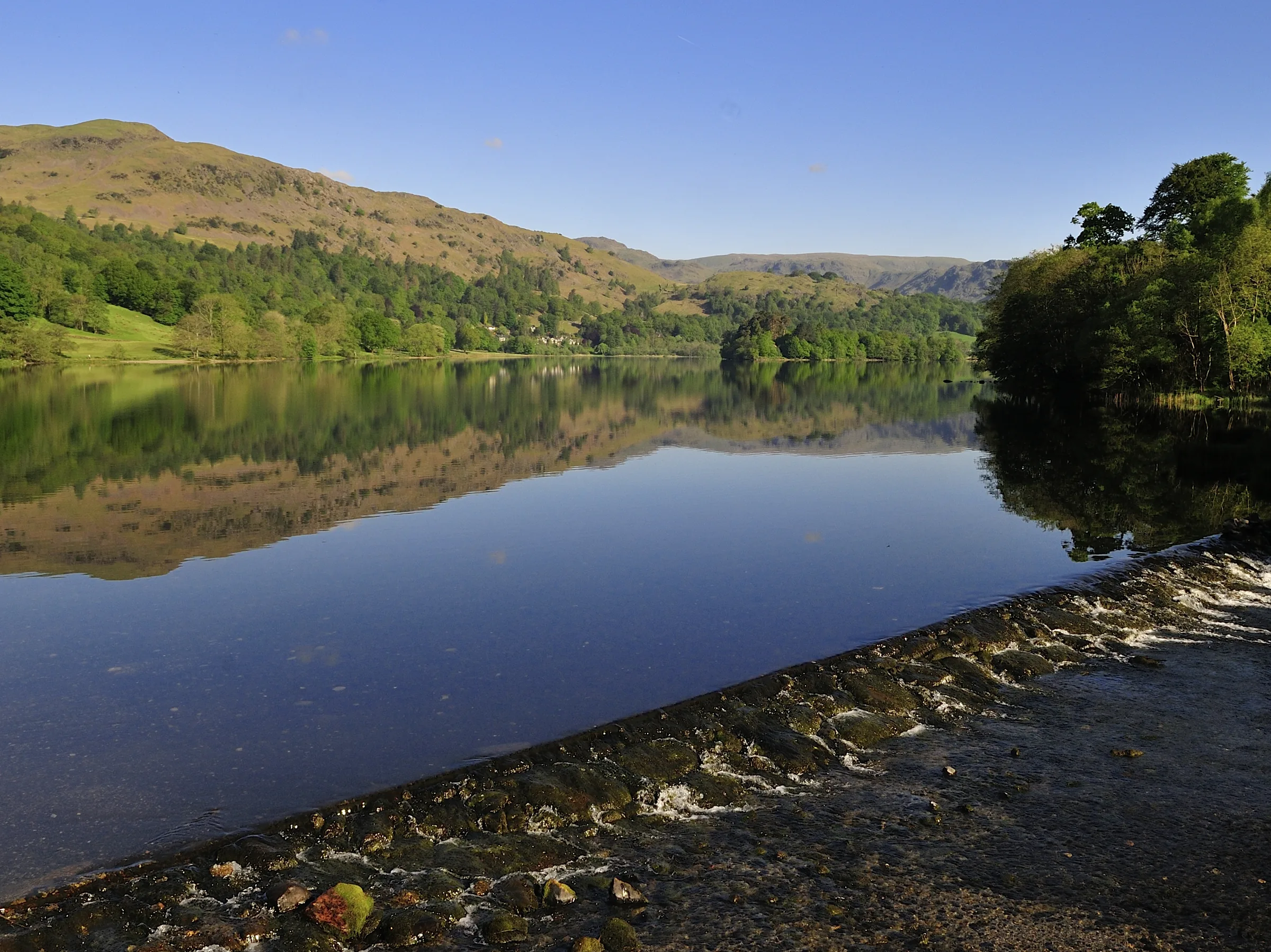
Photos
Photo credits
Photos without a credit are our own. These are used under Creative Commons licences; thank you to the photographers.
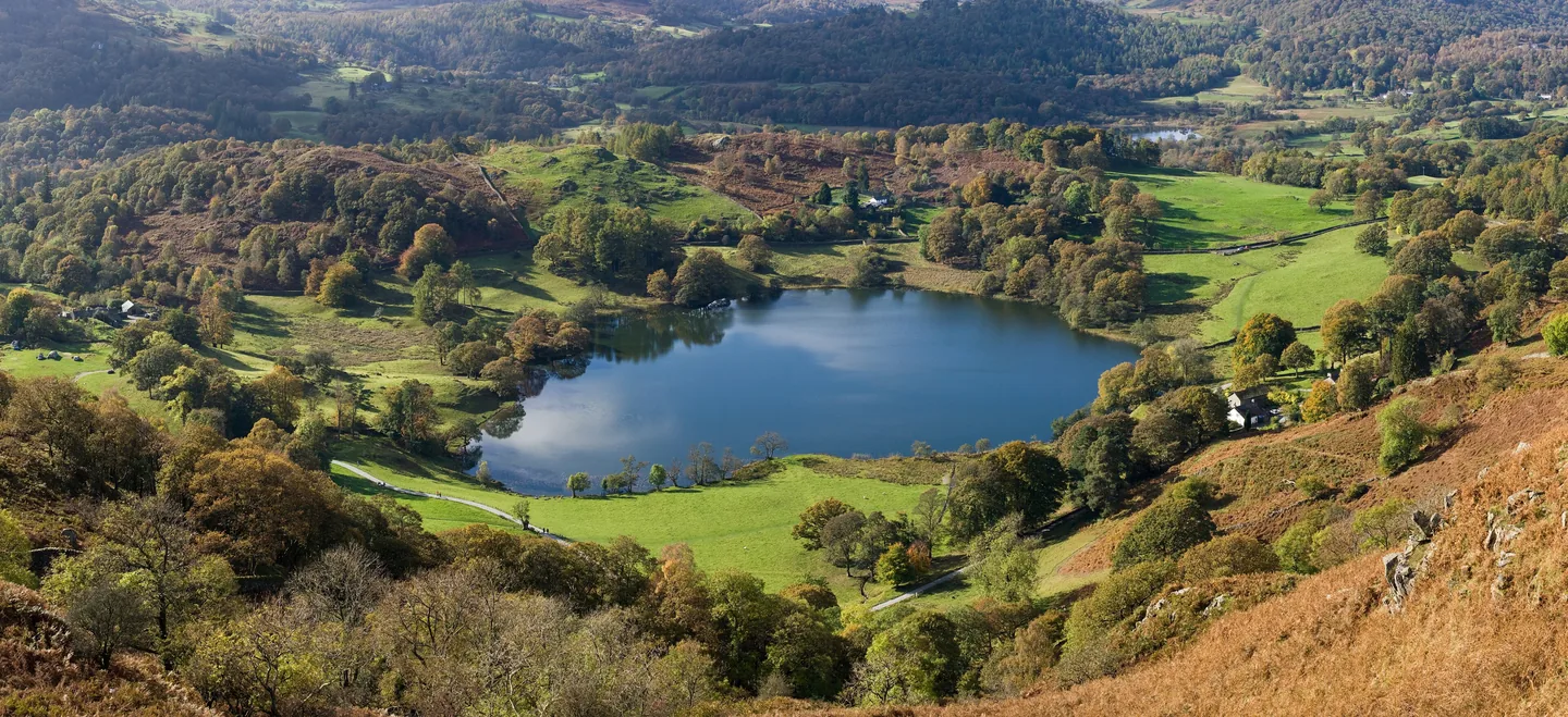
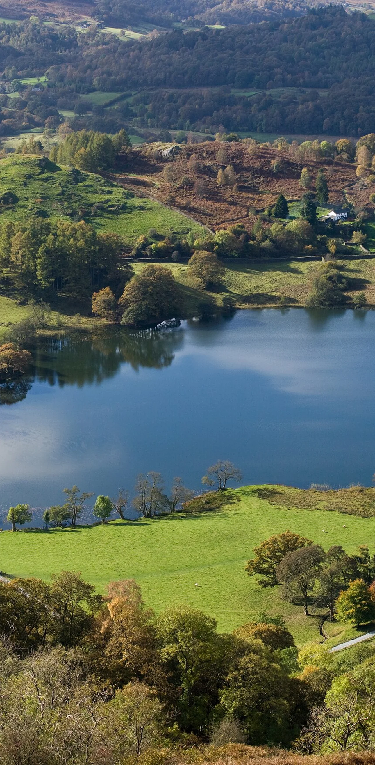
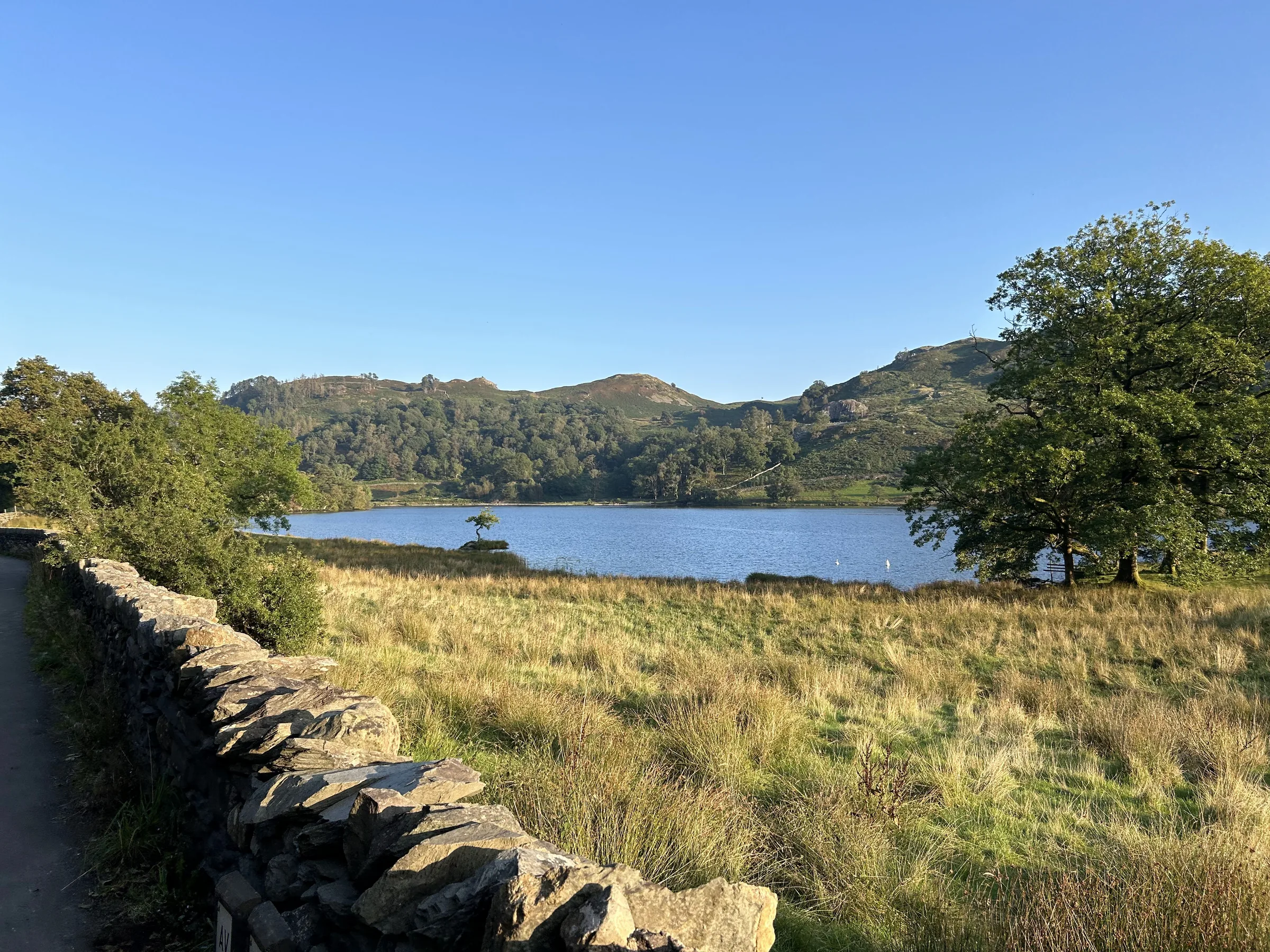
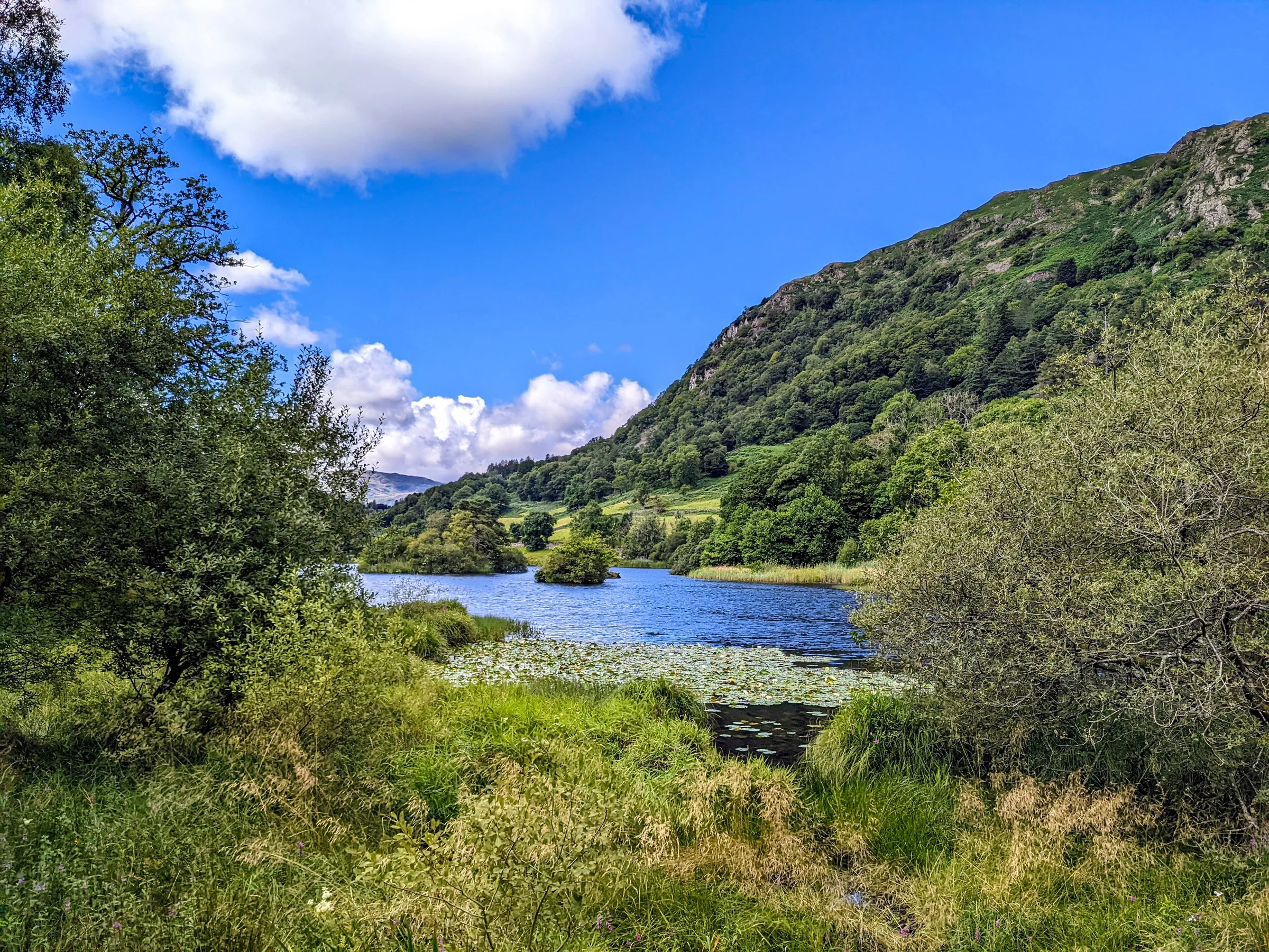
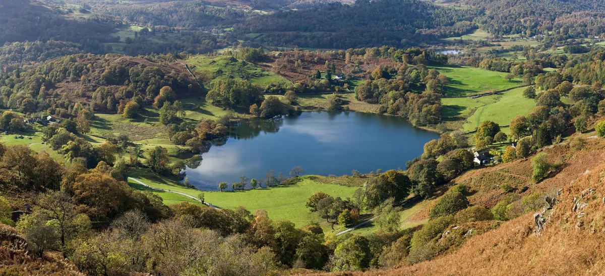 Loughrigg Tarn in OctoberHero photo · by David Iliff, Wikimedia CommonsOriginal photoCC BY-SA 3.0 licence
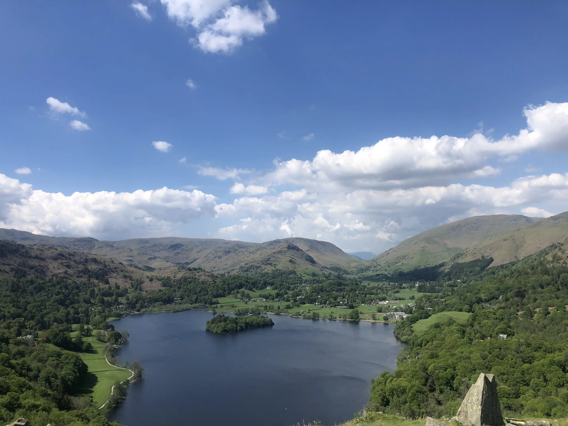
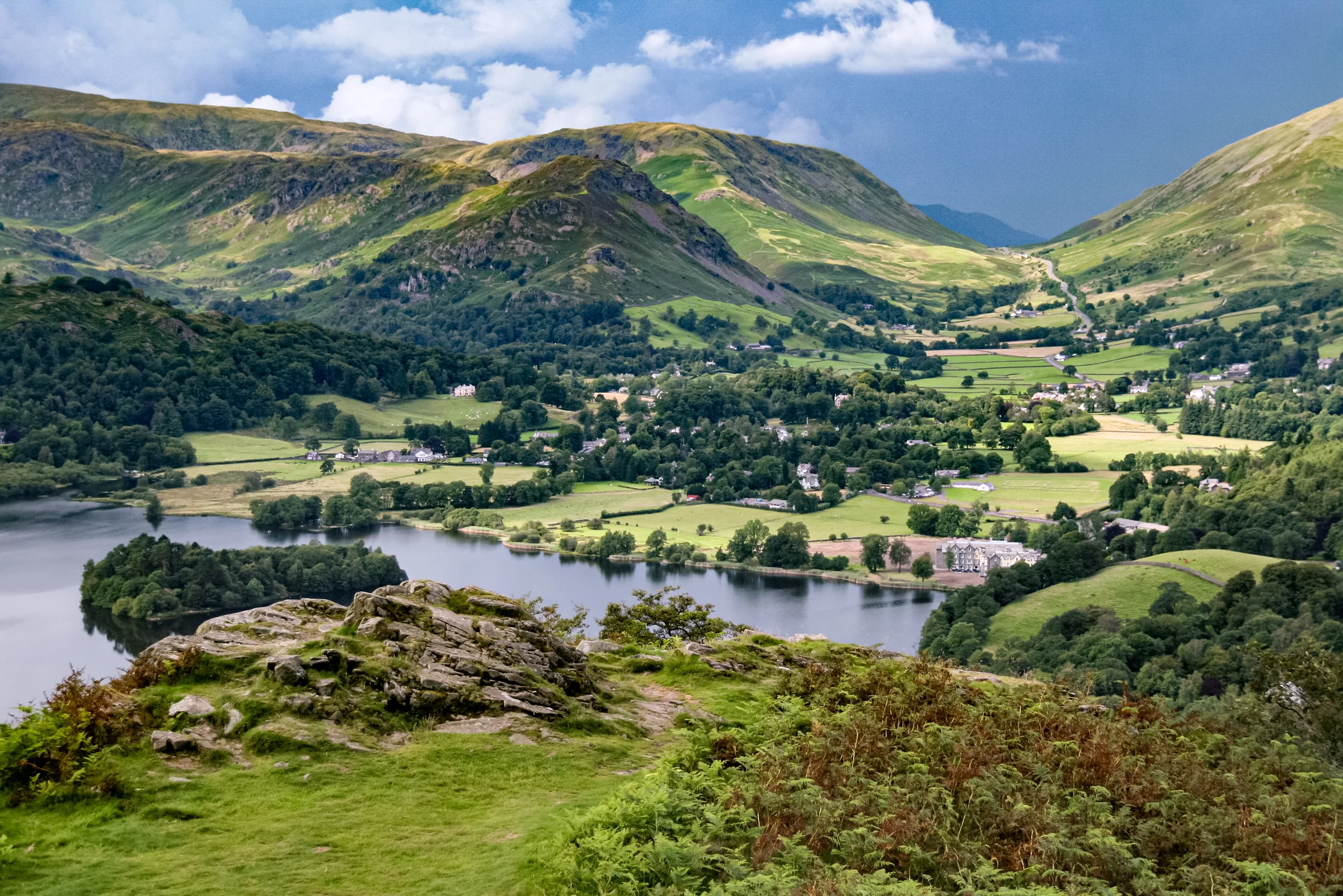
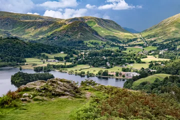 Grasmere from Loughrigg Fellby Jorge Franganillo, Wikimedia Commons (Flickr)Original photoCC BY 2.0 licence
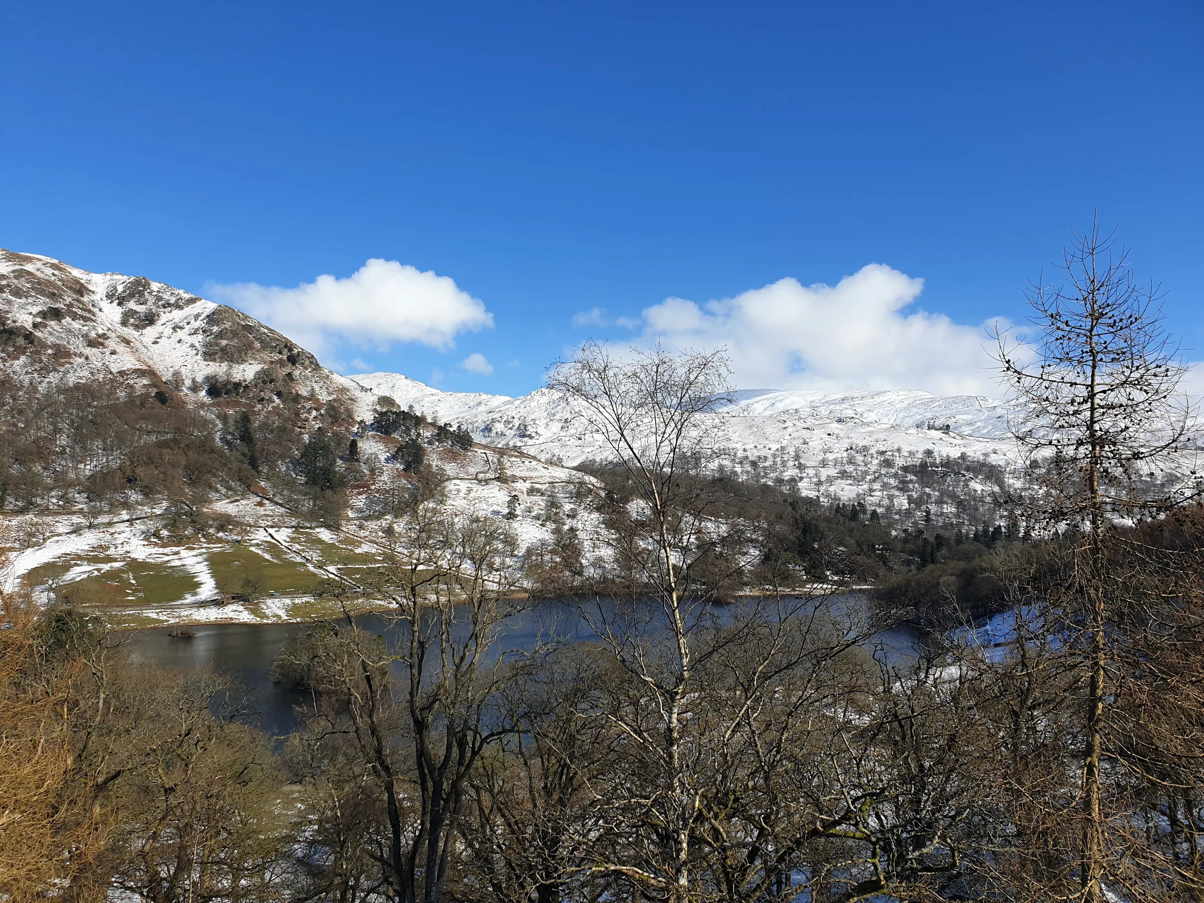
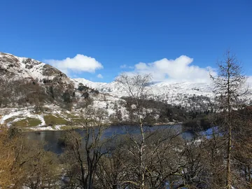 Across Rydal Water in winterby Oscar Taylor, Wikimedia Commons (Geograph)Original photoCC BY-SA 2.0 licence
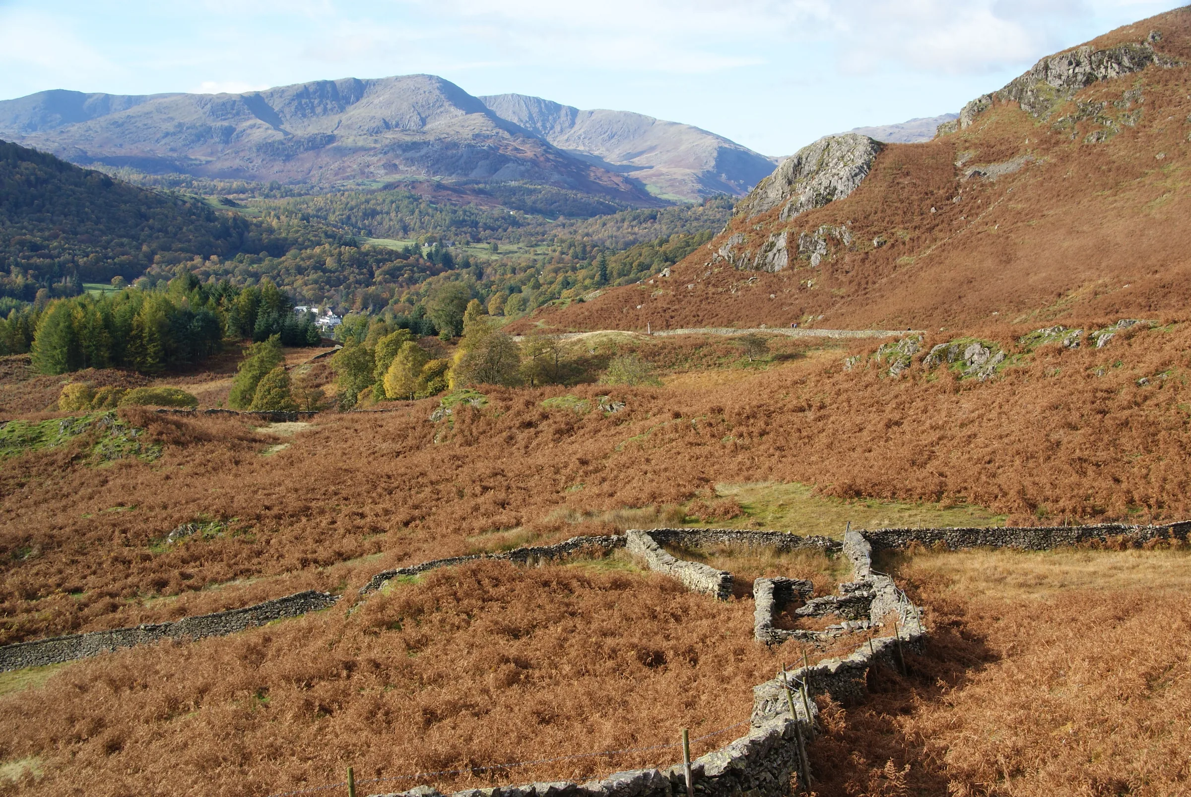
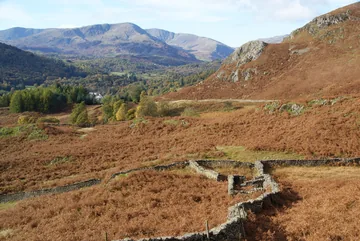 Sheepfold on Loughrigg Fellby Bill Boaden, Wikimedia Commons (Geograph)Original photoCC BY-SA 2.0 licence
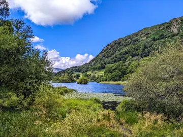
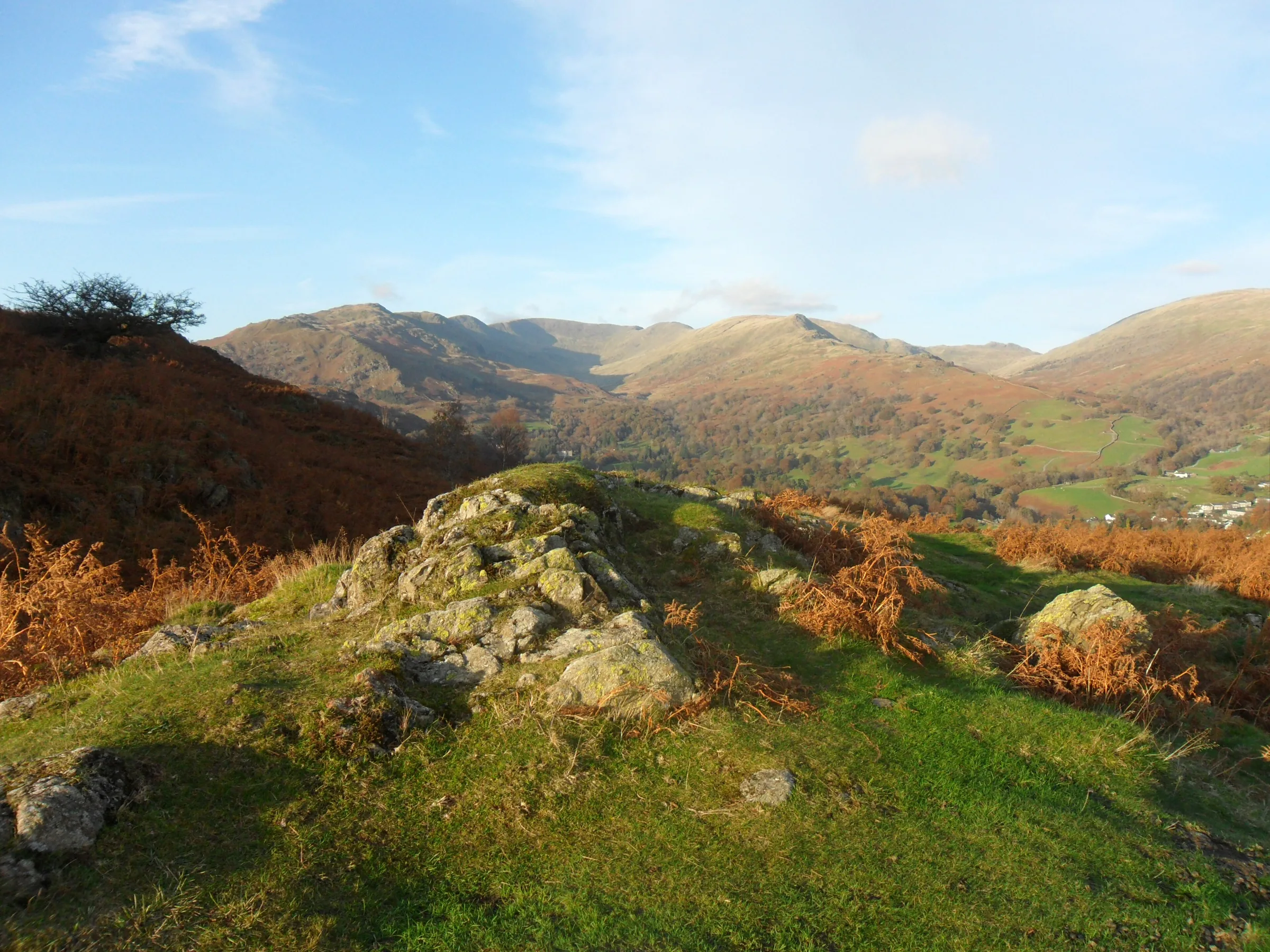
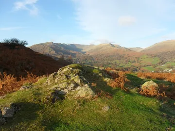 Rock outcrop on Loughrigg Fellby Anthony Foster, Wikimedia Commons (Geograph)Original photoCC BY-SA 2.0 licence
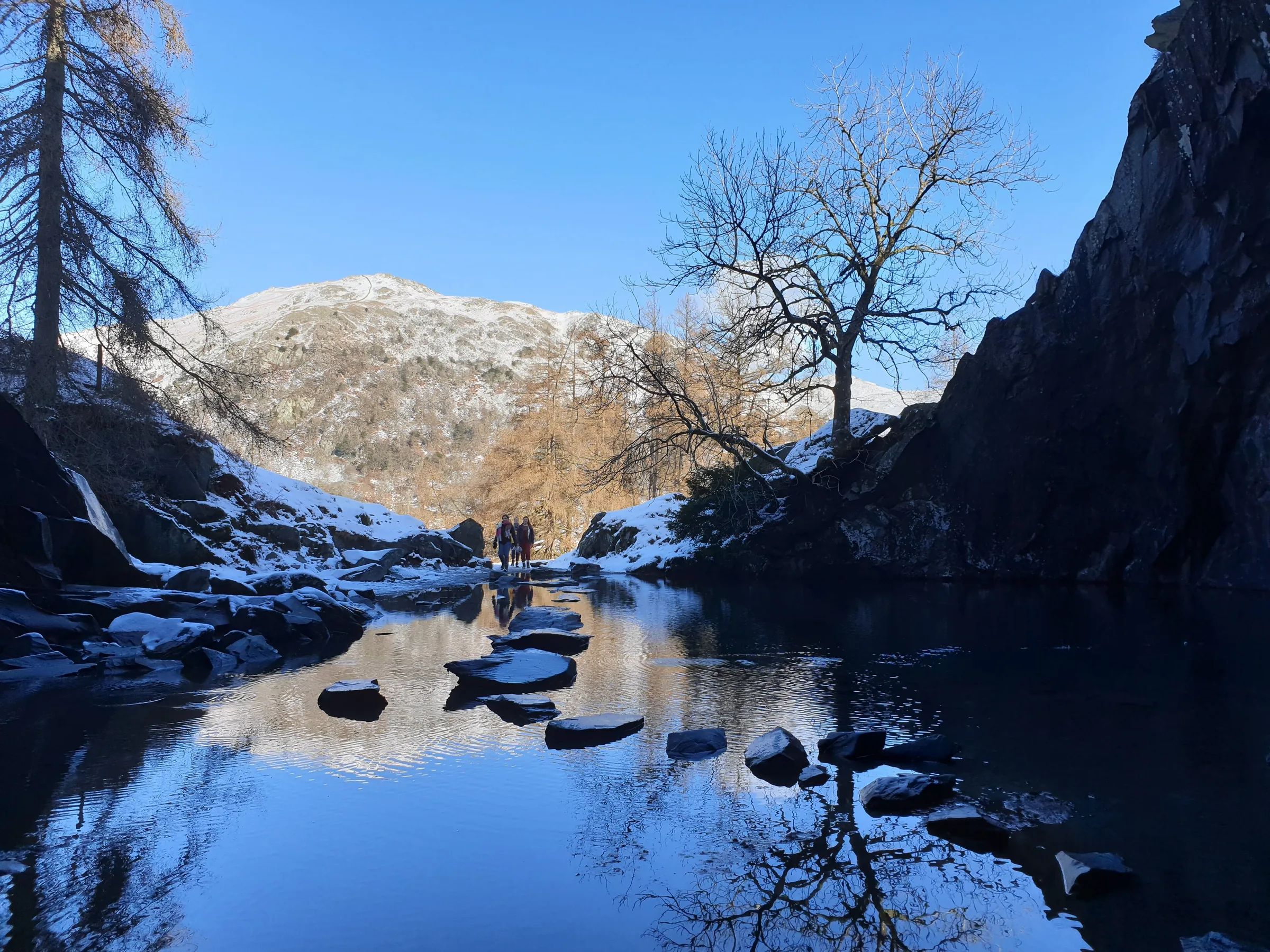
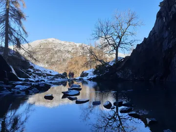 Stepping stones inside Rydal Caveby Oscar Taylor, Wikimedia Commons (Geograph)Original photoCC BY-SA 2.0 licence
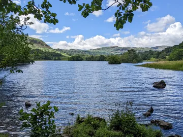
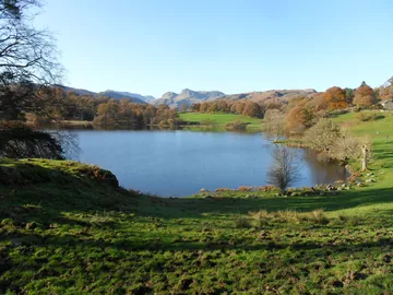
Hints & Tips
Slippery Stepping Stones
The stepping stones inside Rydal Cave are wet slate and very slippery, and the pool gets deeper on the left-hand side. You can see the whole cavern from the mouth without crossing, so keep a hand on small children and stay off the fallen rock inside.
A Short, Steep Pull
Nearly all the climbing on this walk comes in one go, on the stony path straight up from the cave to the top. It only takes about half an hour, so go slowly and stop to look back over Rydal Water.
A Maze of Paths on Top
The top of Loughrigg is a jumble of hummocks and little tarns criss-crossed with paths, and in mist it's easy to come down the wrong side towards Ambleside or Elterwater. Head for the trig point, then keep west for the Terrace, and follow the route on your phone if the cloud comes down.
Cameras in the Car Park
White Moss uses number-plate cameras, and visitors have been fined for overstaying by a few minutes. If the machine queue is long, pay with the Flowbird app, and pay for an extra hour to be safe.
Interesting Facts
General
A Wainwright and a Marilyn
At 335m, Loughrigg Fell is one of the 214 Wainwrights and also a Marilyn, a hill that rises at least 150m above the land all around it
Little Rydal Water
Rydal Water is only about 1.2km long and 17m deep at most, with four small islands
Water All Round
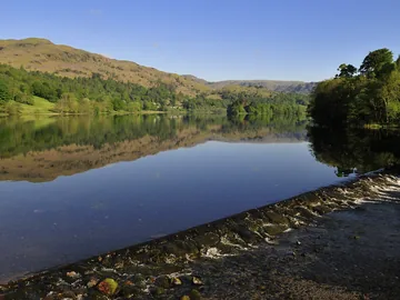
Loughrigg is ringed by water: Grasmere and Rydal Water lie to the north, Elter Water to the south-west, and the head of Windermere is just past its south-east corner
One River, Three Lakes
The River Rothay flows out of Grasmere, through Rydal Water and on to Windermere, and this walk follows it at the start and the finish
The Quarry in the Hill
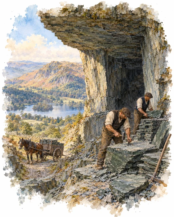
Rydal Cave isn't a natural cave at all. It was dug out as Loughrigg Quarry, where quarrymen cut about 45m into the side of the fell for slate. Over two hundred years ago it was a busy working quarry, and its slate went mostly on the roofs of the villages nearby. It was abandoned in the 1800s.
Once the quarrymen had gone, water dripping from the rock flooded the floor of the cavern, making the shallow pool you cross on stepping stones. The water stays at around 10°C, yet small fish live in it. The cave is still changing: in 2009 several large blocks fell from the roof, so keep off the rubble.
A little way down the hill is Jobson Close Cave, a smaller cave with a muddy floor. Rydal Cave has also been on screen: it was a filming location for the second series of Netflix's The Witcher, where Geralt brings Jaskier here to bathe after rescuing him from Oxenfurt prison.
Round the Two Lakes
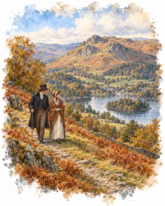
William Wordsworth spent most of his life within a short walk of this hike. He moved into Dove Cottage in Grasmere with his sister Dorothy in December 1799, and from 1813 until he died in 1850 he lived at Rydal Mount, on the far side of Rydal Water from Loughrigg.
Dorothy kept a journal of their days in Grasmere, and Loughrigg and Rydal turn up in it again and again. On 15 October 1801 she wrote: "William and I walked up Loughrigg Fell, then by the waterside." Two months later, on 18 December, she noted that "Mary and Wm. walked round the two lakes", the walk round Grasmere and Rydal Water that this hike follows for much of the way. Mary Hutchinson married William the following year.
Rydal Water also has a spot known as Wordsworth's Seat, thought to have been his favourite viewpoint in the whole of the Lake District.
More Hikes
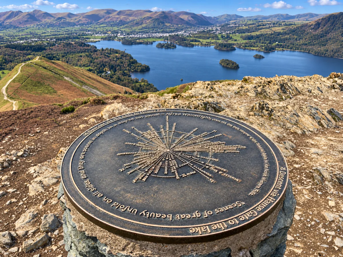 ModerateCatbells3.6 mi · 2–3 hrs · 404m
 HardSkiddaw6.5 mi · 4–5 hrs · 870m
 HardOld Man of Coniston4.9 mi · 3–4 hrs · 585m
 HardPike of Stickle4.1 mi · 3–4 hrs · 710m
 ModerateEasedale Tarn6.9 mi · 4–4½ hrs · 600m
 ModerateWalla Crag & High Seat5.8 mi · 3½–4½ hrs · 547m
Subscribe for updates on new hikes and National Parks
One email a month with new hikes and routes. No spam.