



Contents
Overview
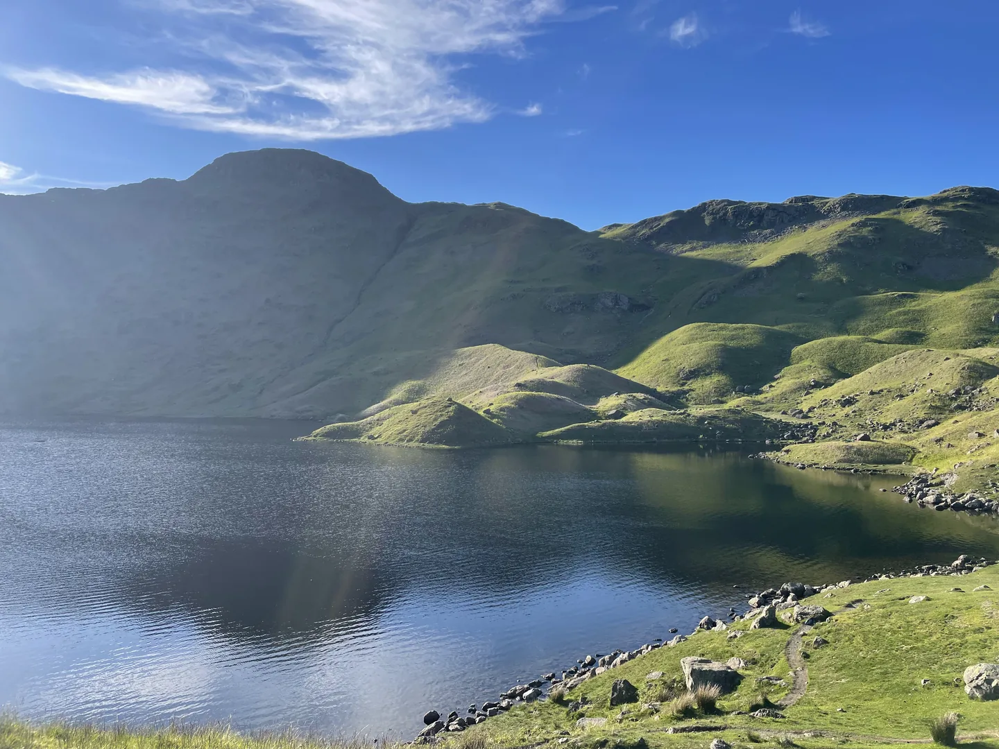
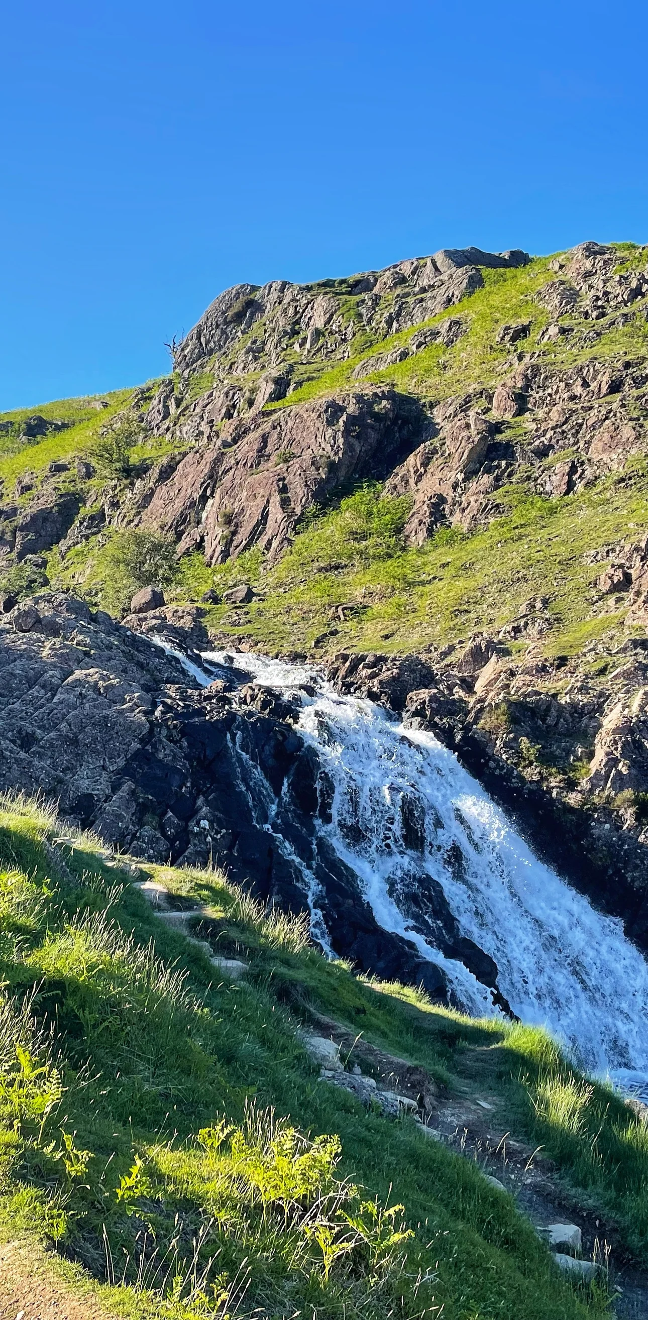
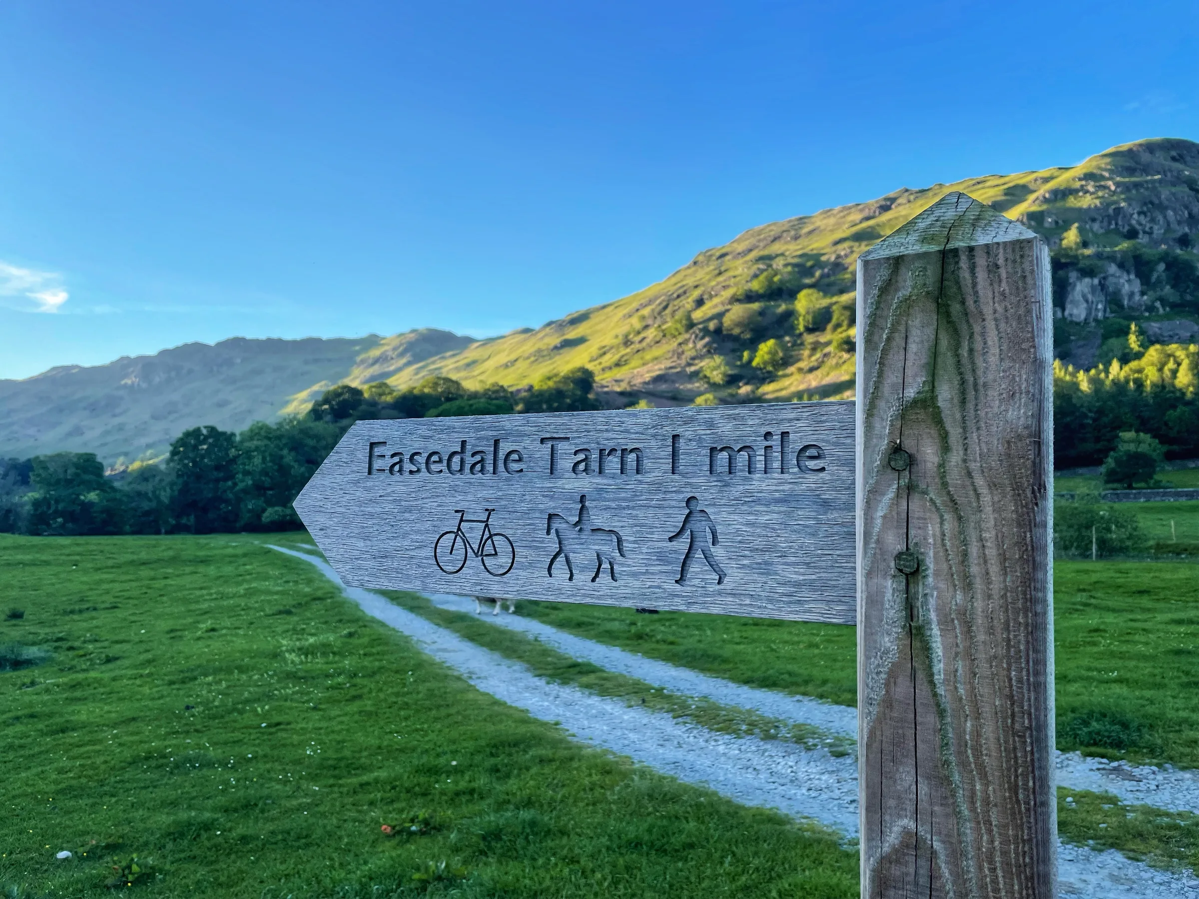
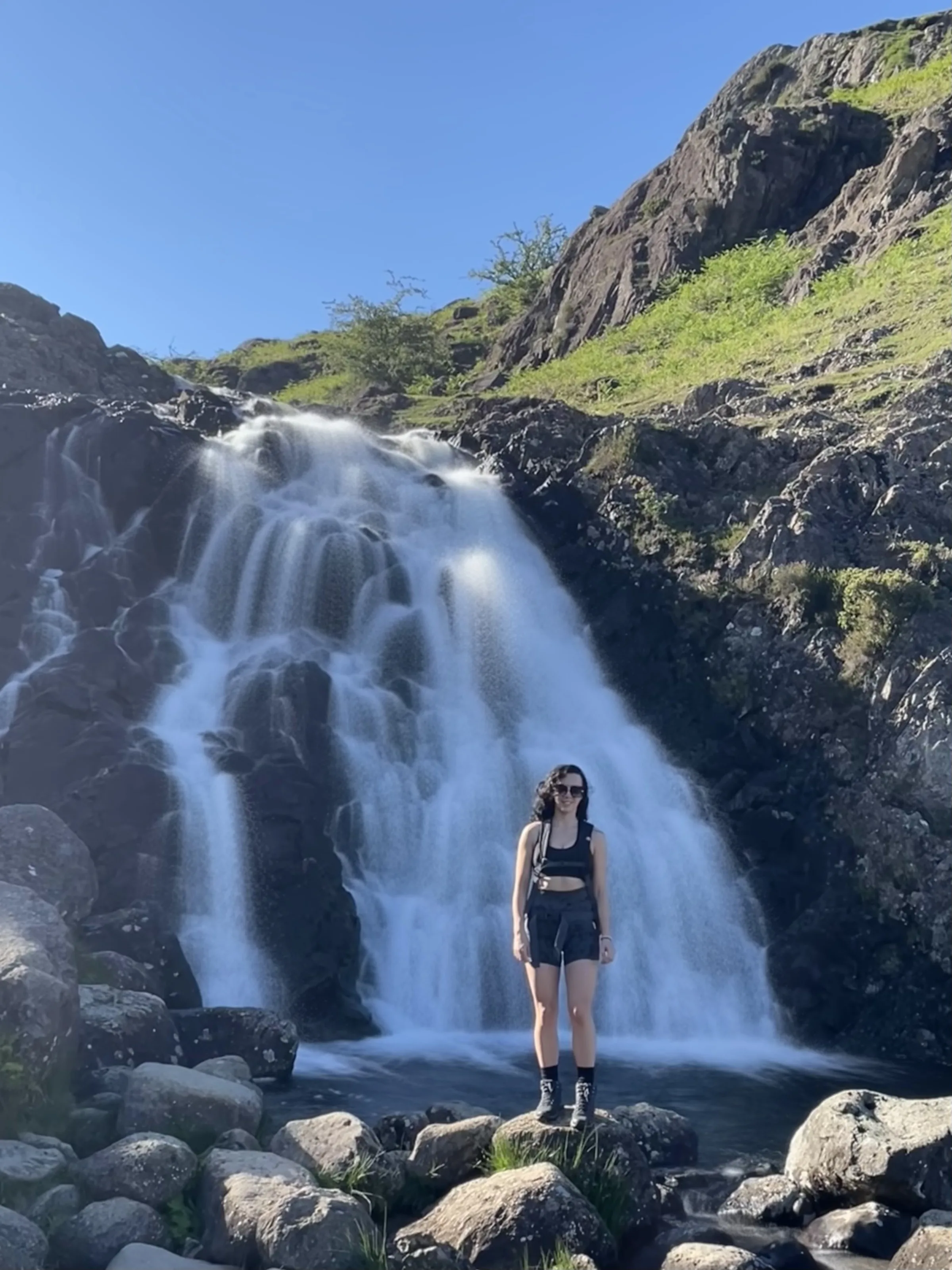
William Wordsworth lived in and around Grasmere for most of his life, and Easedale, the quiet valley behind the village, was one of the places he and his sister Dorothy loved to walk. Its prize is Easedale Tarn, a wide mountain lake hidden in a bowl of crags, reached by a path that climbs beside the white waterfalls of Sourmilk Gill. The Victorians loved it so much that a local man sold them refreshments from a hut by the tarn.
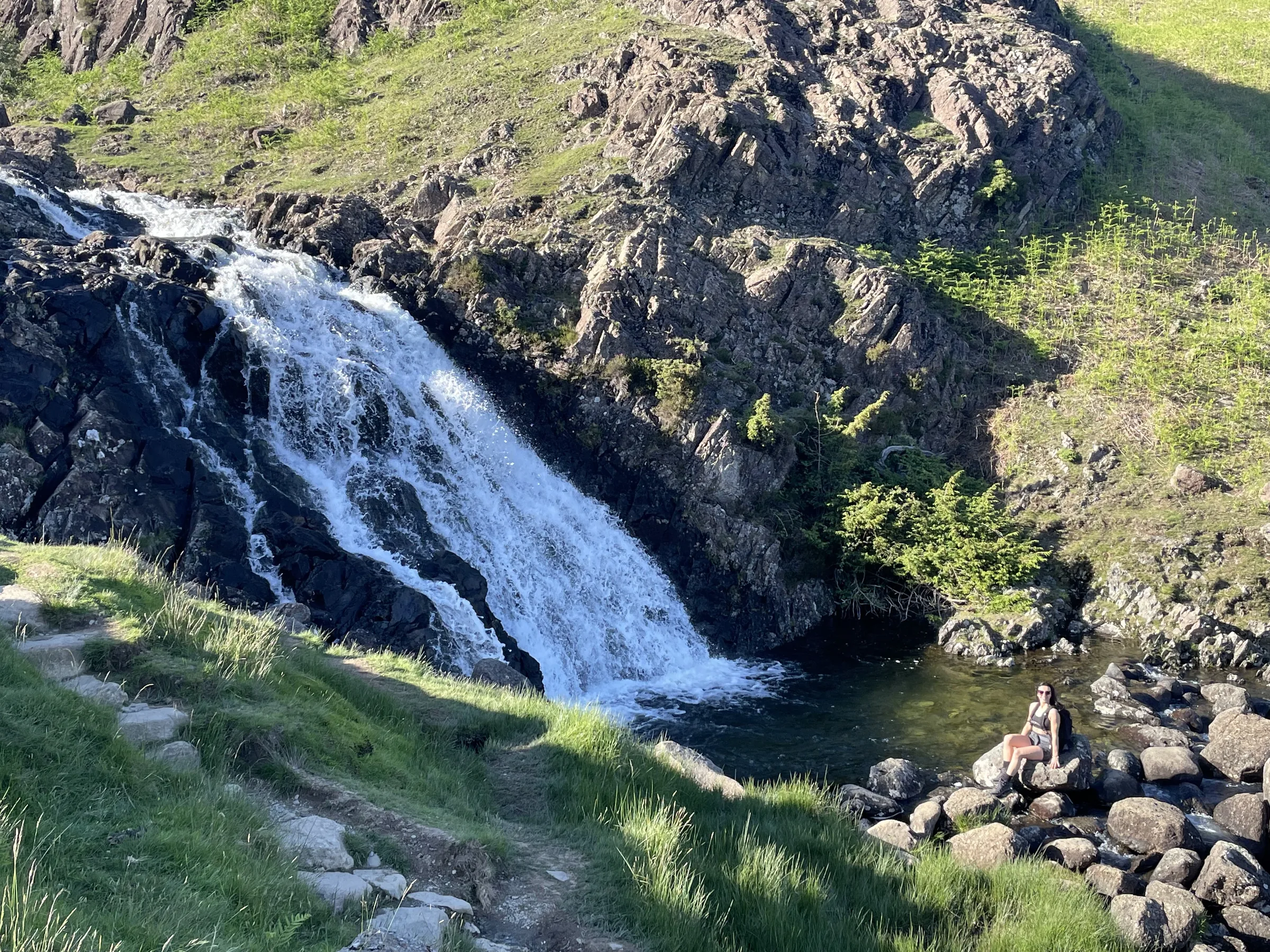
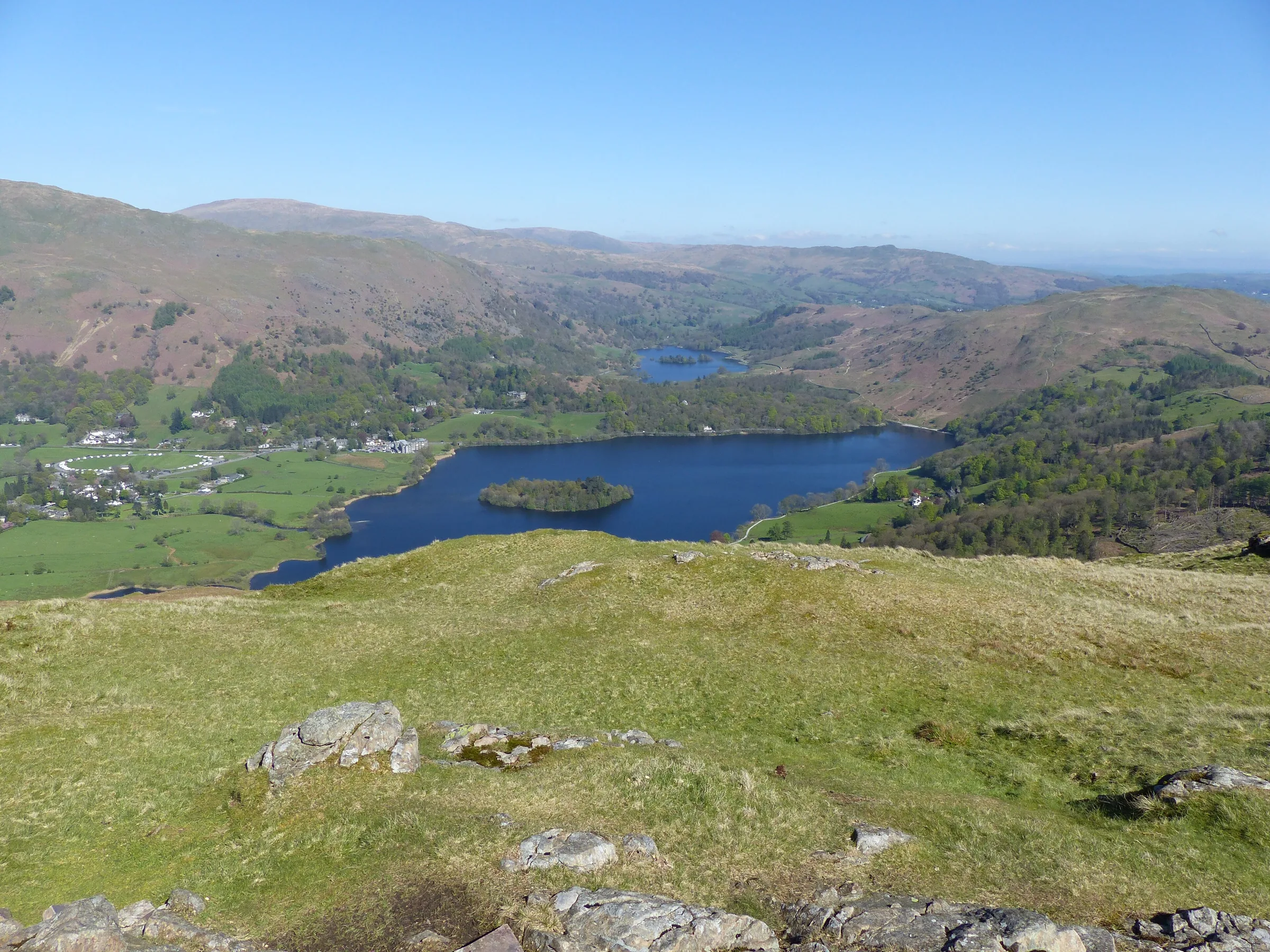
This loop leaves the village along Easedale Road, crosses the beck by a footbridge and follows the old path up past Sourmilk Gill to the tarn. You come back down the same path to the valley floor, about a mile, then turn off at the little bridge over Blindtarn Gill and climb the fellside onto the knobbly ridge that leads to the top of Silver How. From there Grasmere lake and village are spread out below, with Helm Crag across the valley, before a steep path drops you back into the village. This walk takes in one Wainwright: Silver How. Find all 214 on our Wainwrights map.
Go prepared, stay safe,
and enjoy the hike!
Key Info
Crowds
Moderate
The path from Grasmere up beside Sourmilk Gill to Easedale Tarn is one of the most popular walks in the area. It gets busy on fine weekends, and the tarn is a favourite with wild swimmers. An early or late start helps, and there is plenty of room round the tarn to find your own spot.
When it gets busy
- Weekends and fair weather days
- Spring and summer
- The main path from Grasmere up past Sourmilk Gill to the tarn
- The tarn and Sourmilk Gill on warm days, as both are popular with swimmers
- Grasmere village car parks on fine weekends and in the holidays
For a quieter walk
- Start early, especially in spring and summer
- Go on a weekday or in poorer weather outside the holidays
- Set off late in the afternoon, when most day visitors have headed back down (general advice, allow enough daylight)
- Leave the car at home: the 555 bus runs through Grasmere, and the open-top 599 runs in summer
- Walk on round the tarn to find a quieter picnic spot away from the outflow
Our crowd rating is for a typical sunny weekend in spring or summer, in the middle of the day. Timing makes a big difference, so even a busy walk can be quiet early, late or midweek.
The Route
Disclaimer: Route information and GPX files are provided for general guidance only. Conditions can change, so always use your own judgement and navigate responsibly. See our Terms of Use & Disclaimer for more information.
Route Guide
- 1
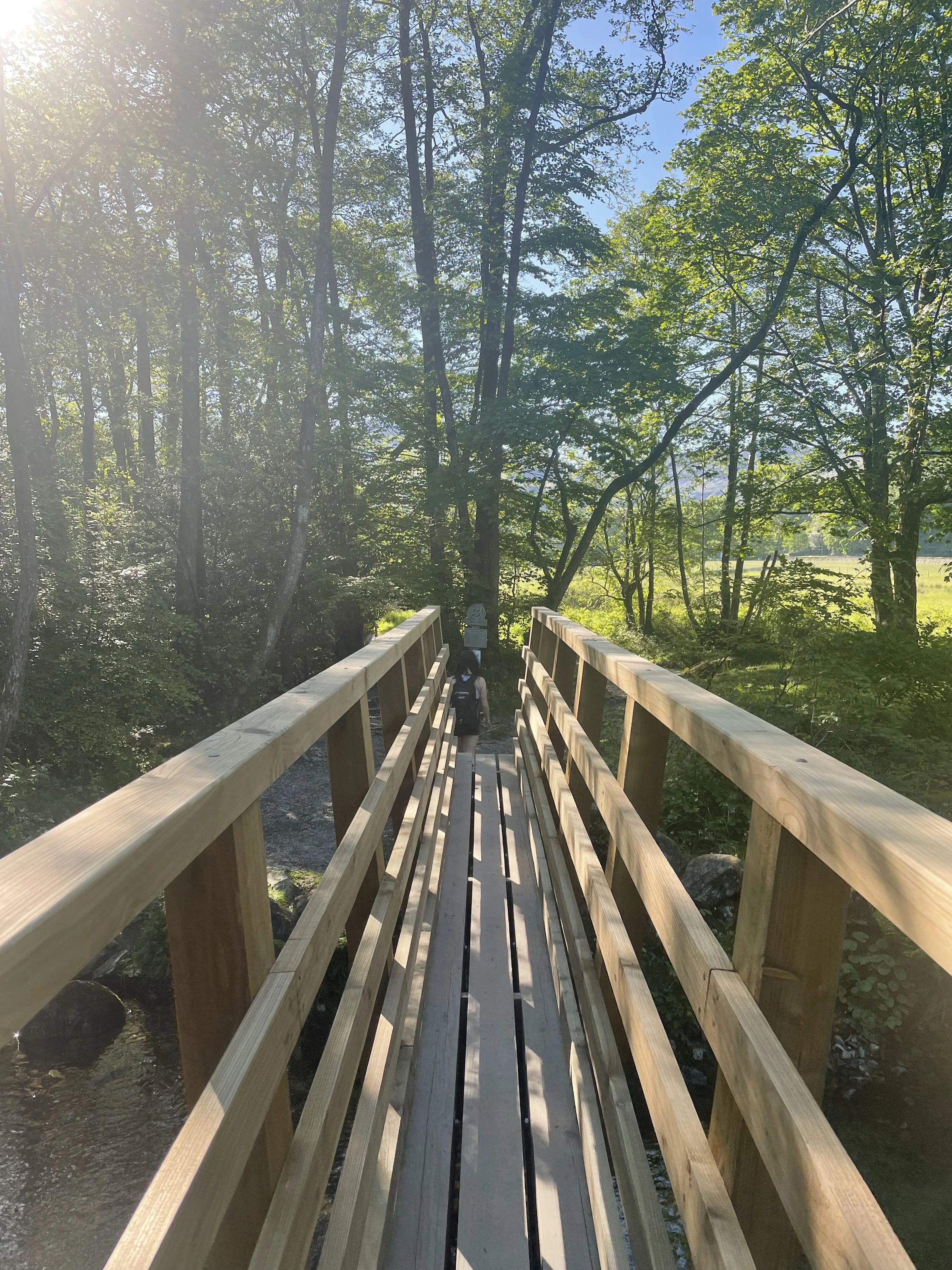
Out along Easedale Road0.8 mi · 30m up · 10m downFrom the car park, walk north into the middle of Grasmere and turn left onto Easedale Road. Follow the lane north-west out of the village towards the fells until a footbridge leads off on the left over Easedale Beck.
- 2
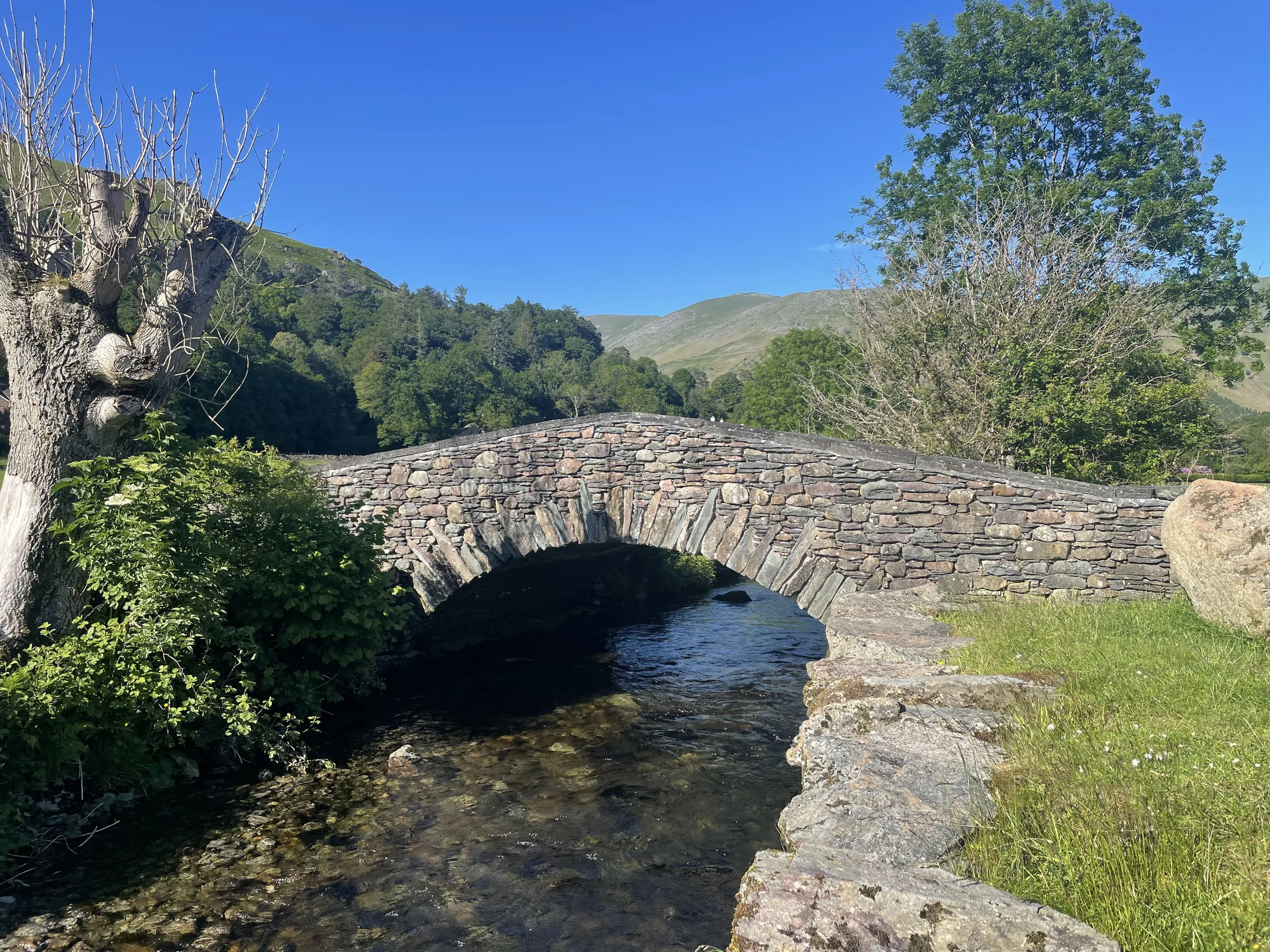
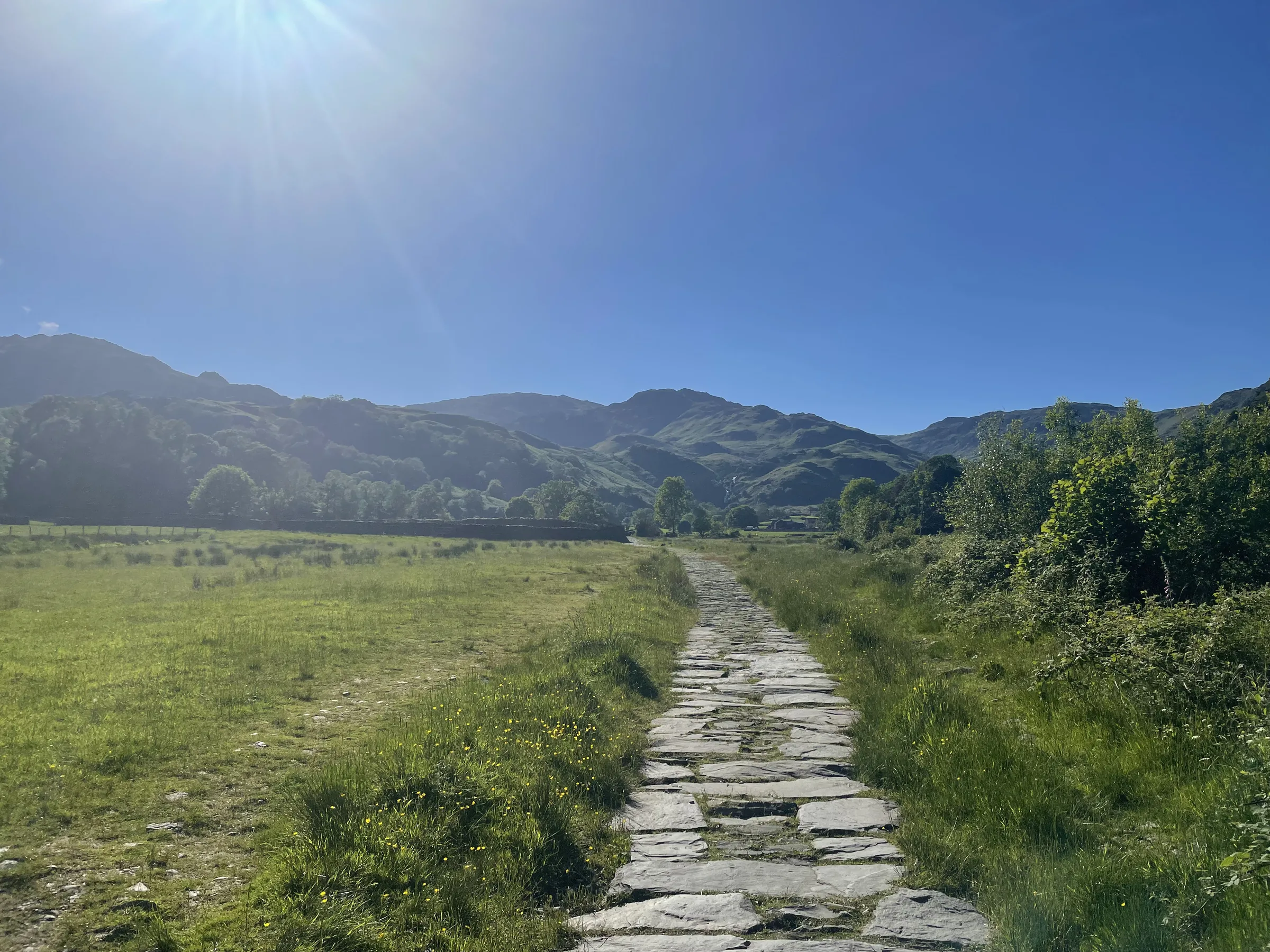
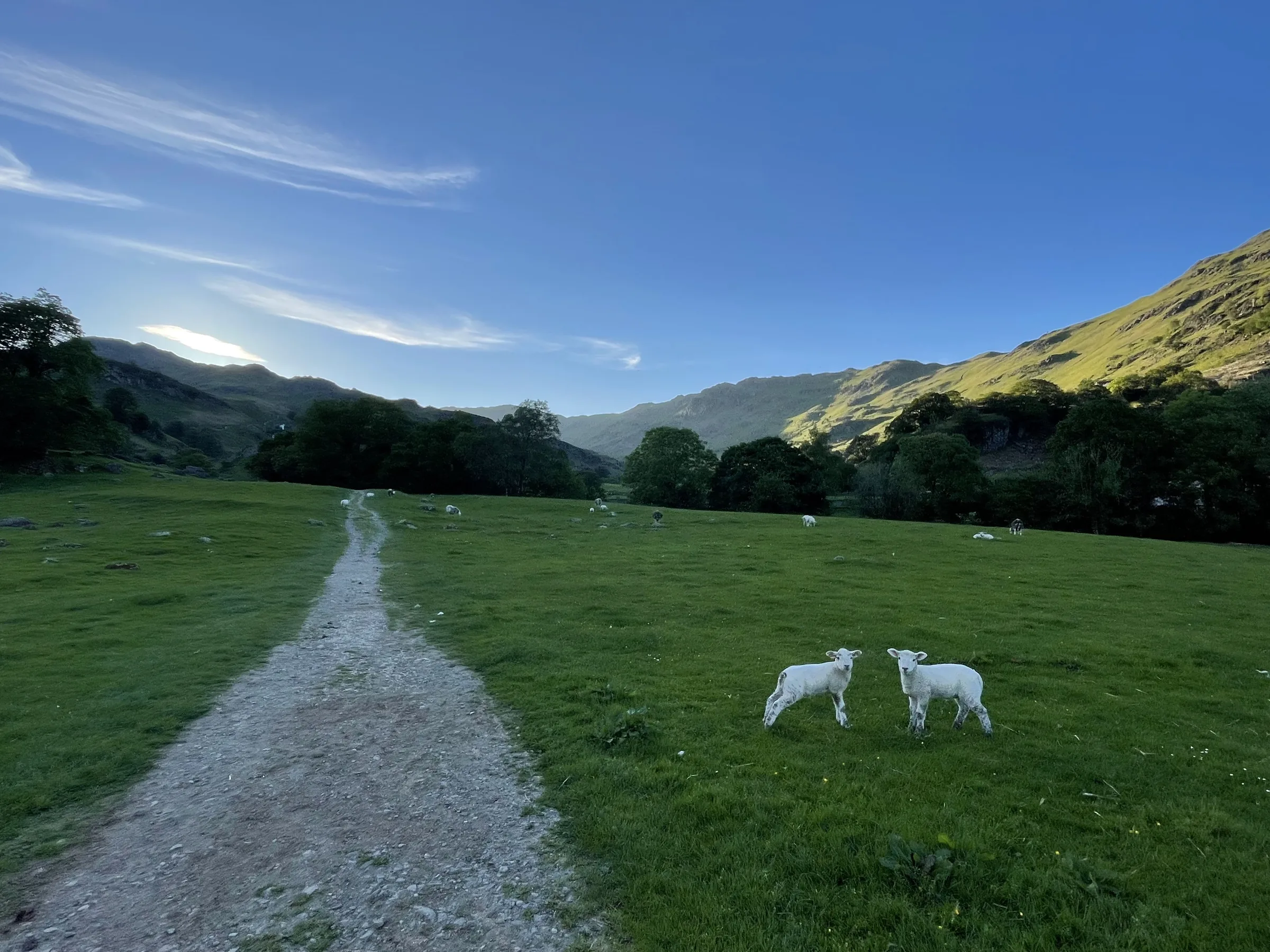
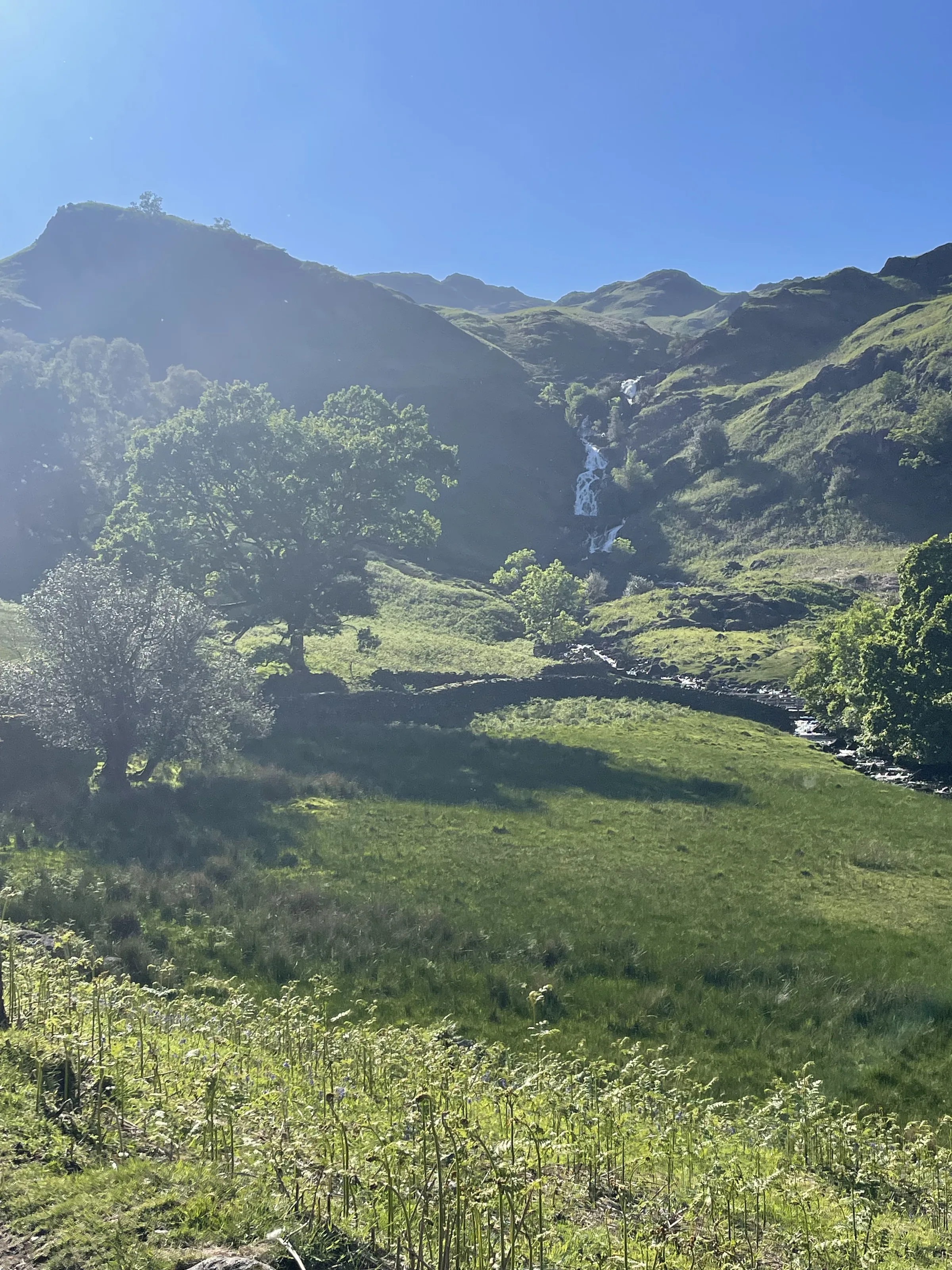
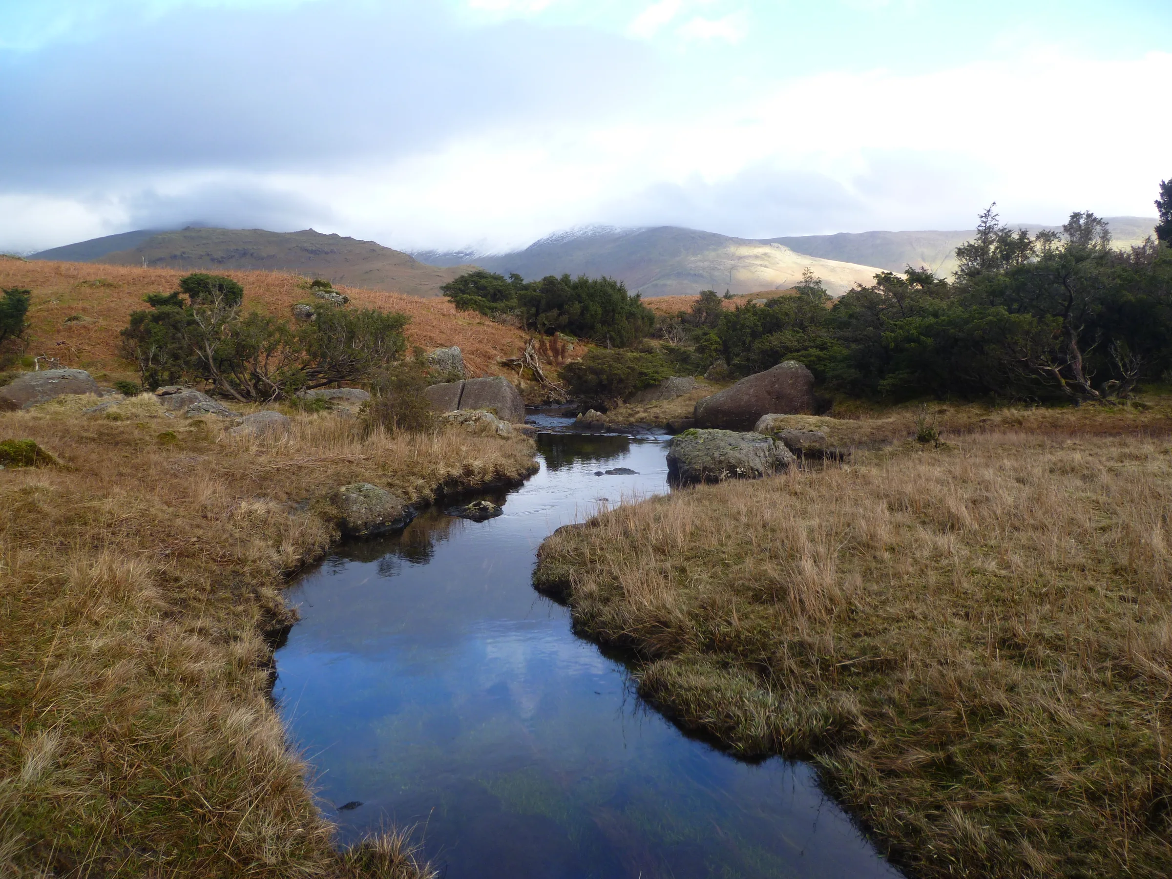
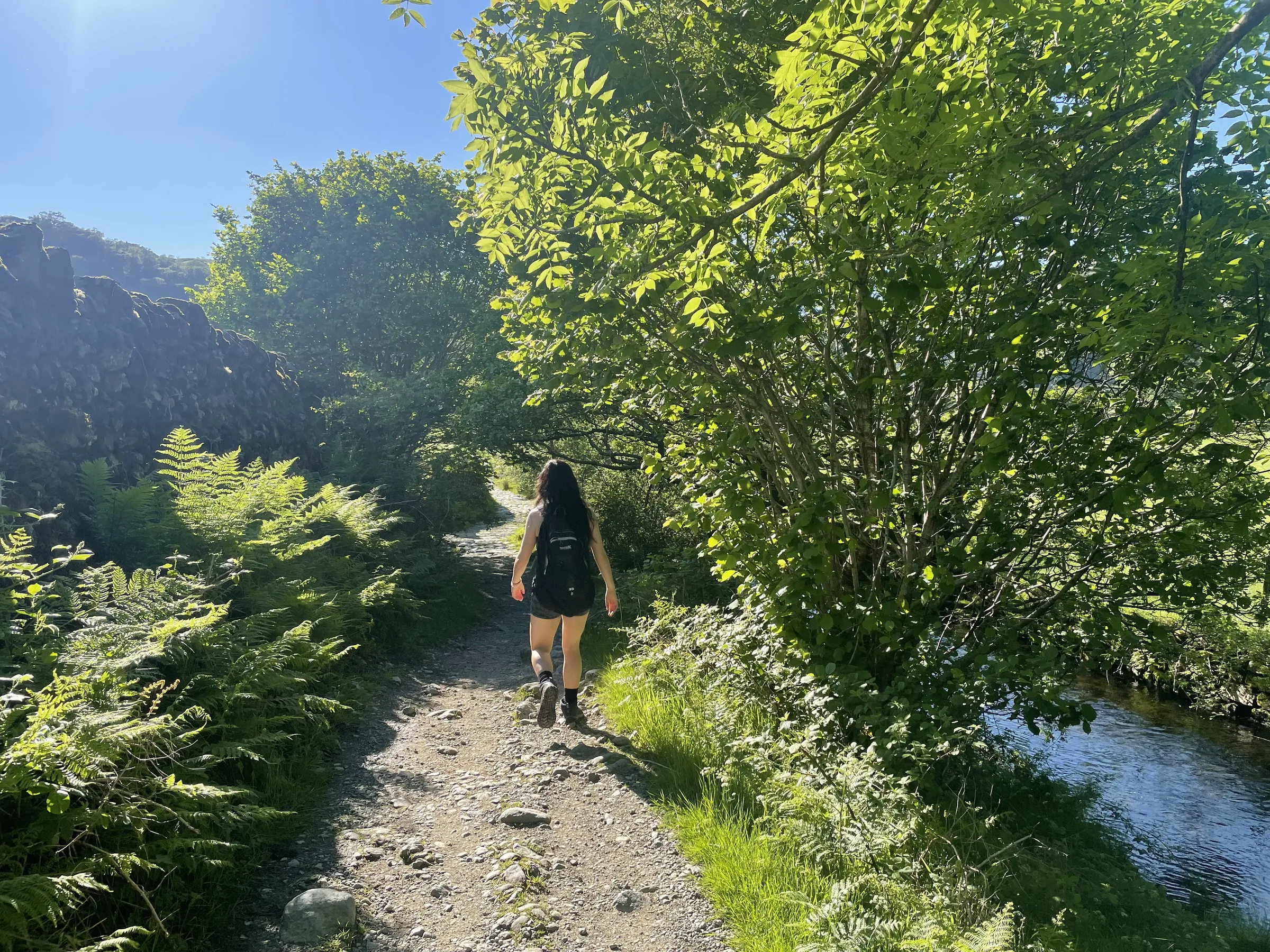
Across the valley floor0.9 mi · 50m up · 10m downCross the footbridge and follow the path through a small wood and out into the fields. Cross the little bridge over Blindtarn Gill and carry on along the track up the valley towards the white falls of Sourmilk Gill. Note this bridge, as you come back to it later.
- 3
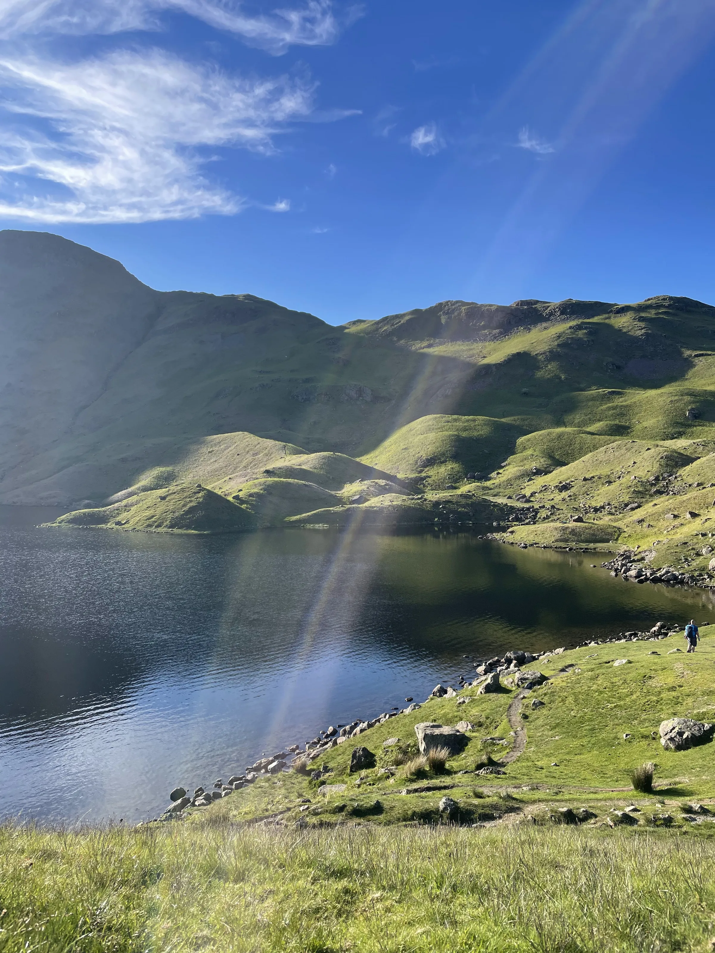
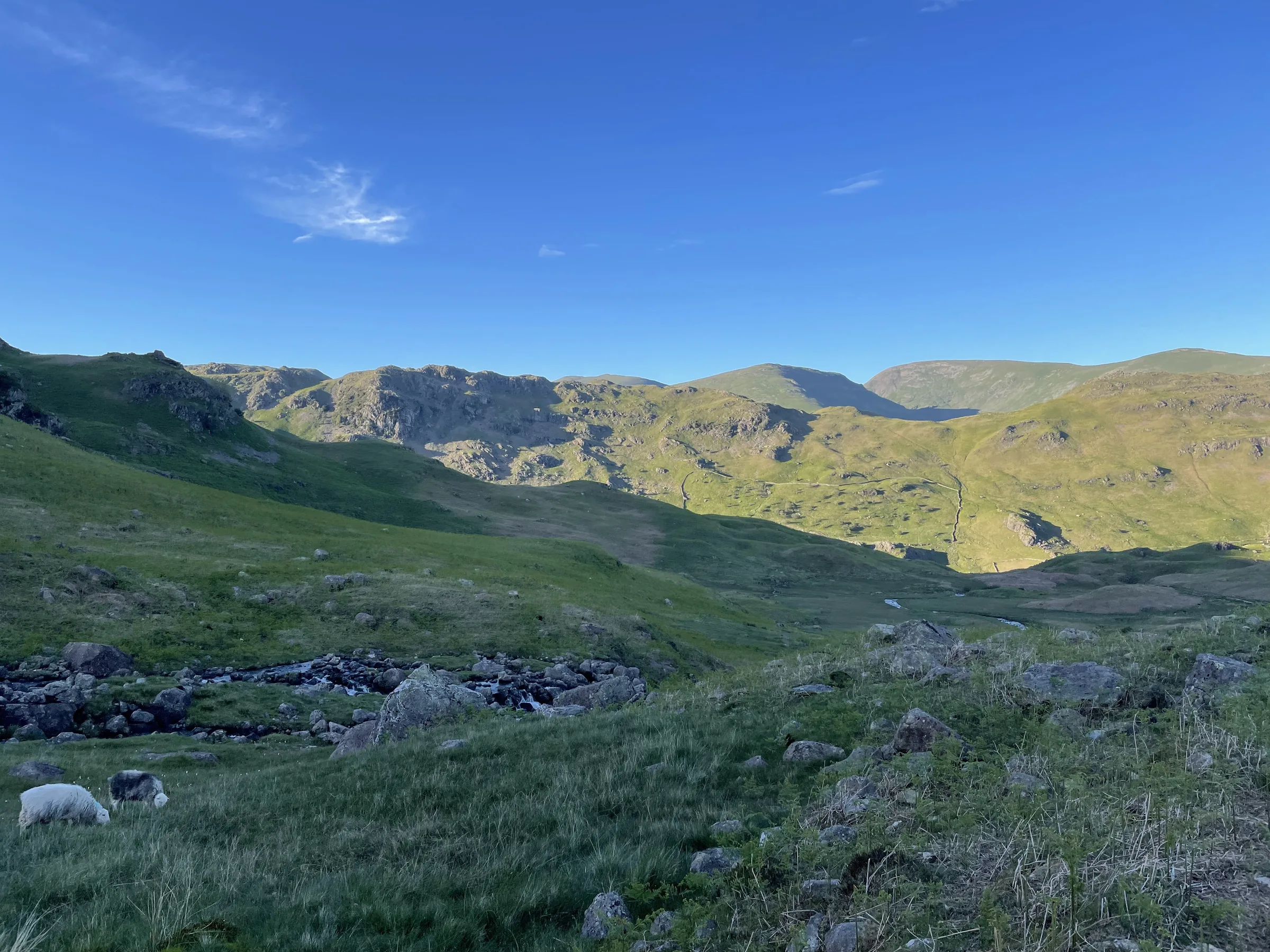
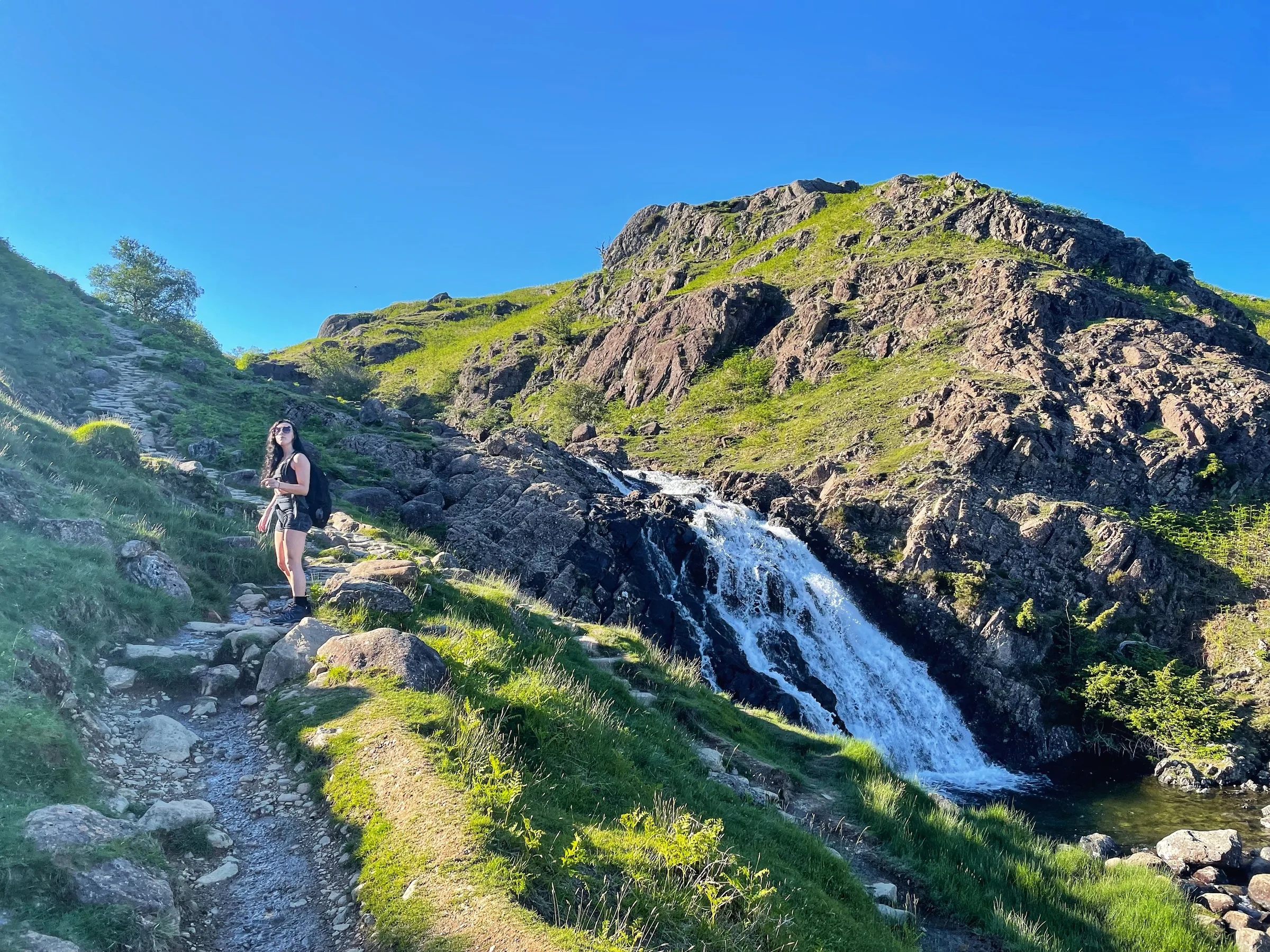
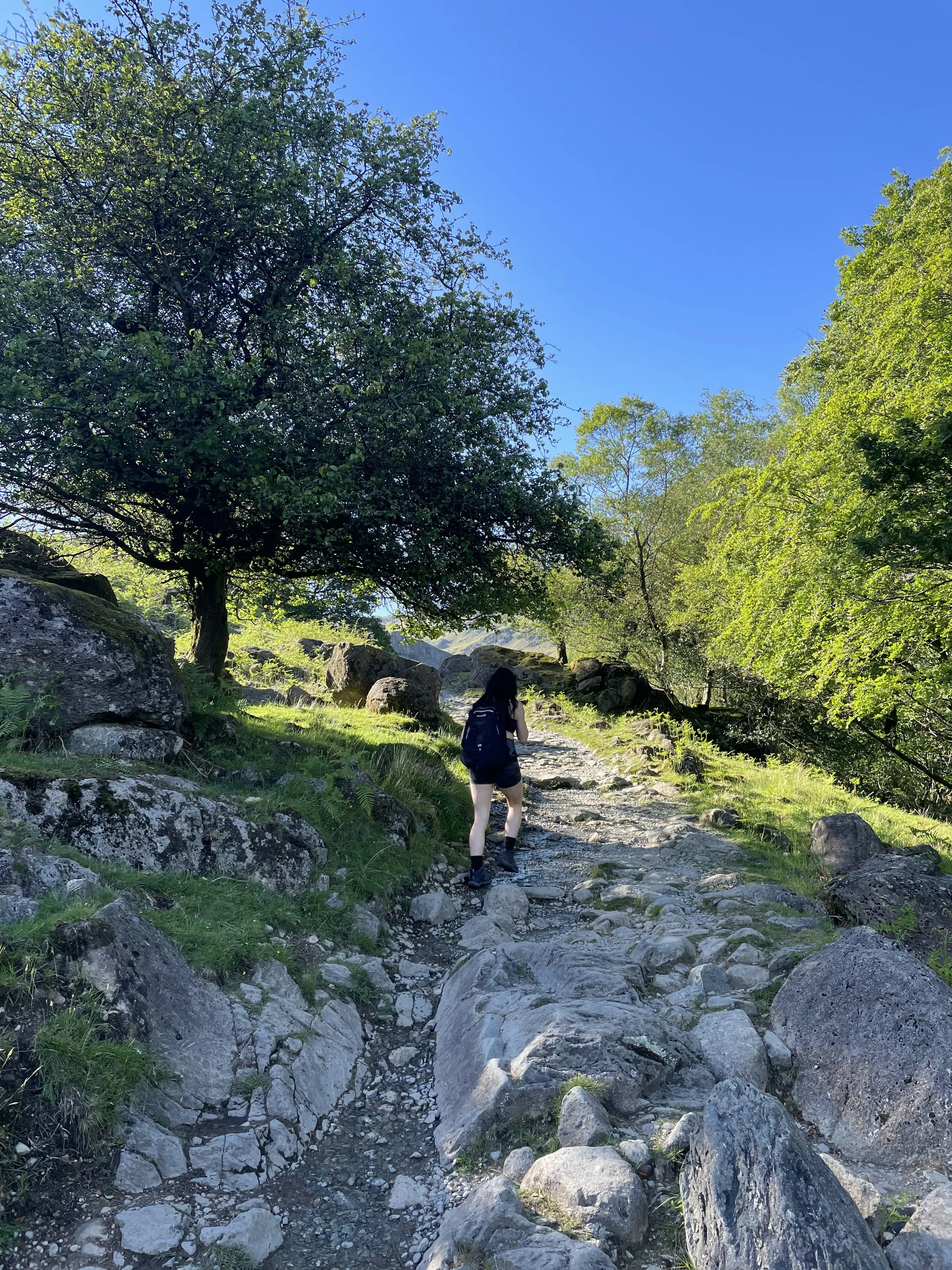
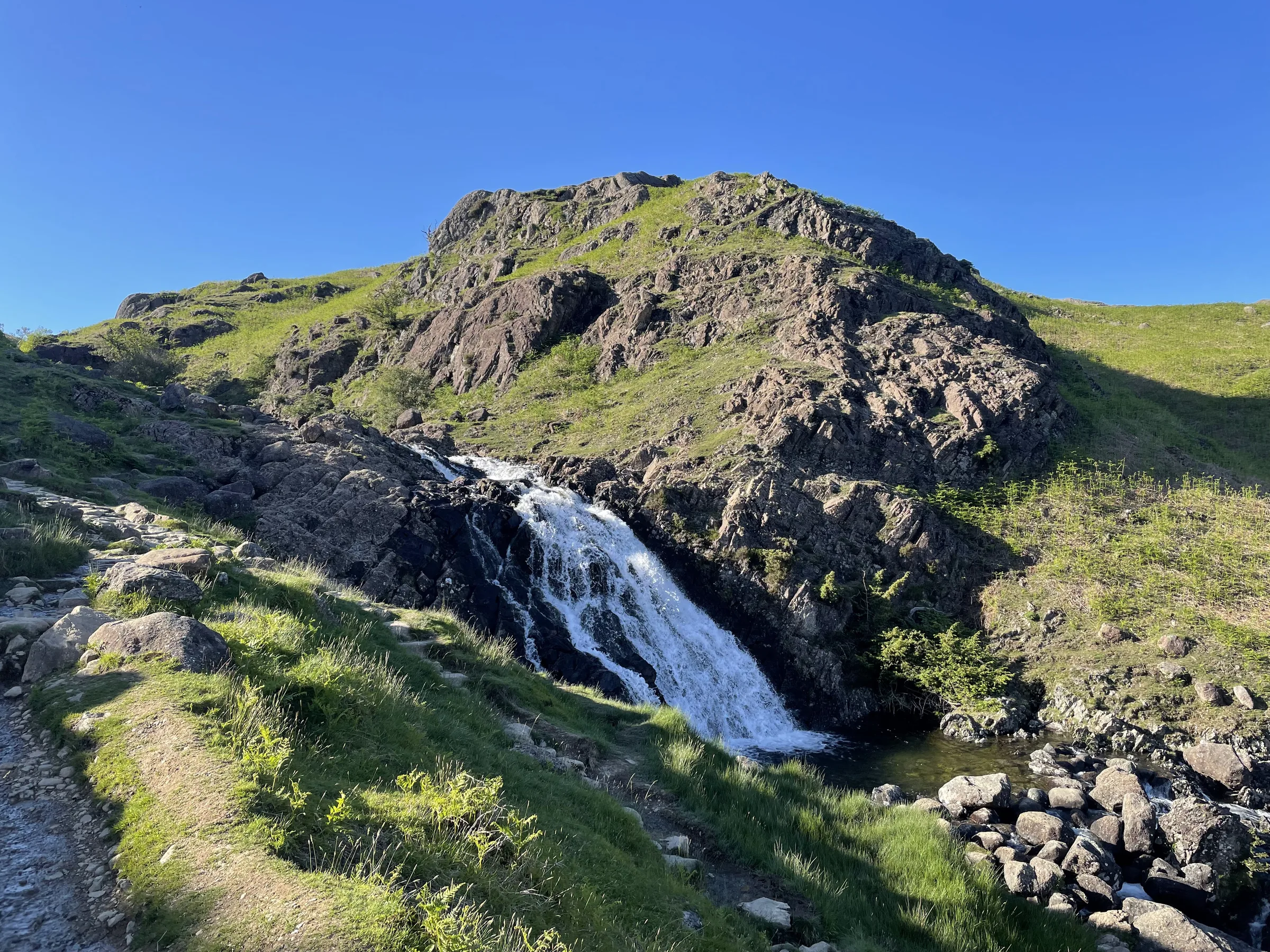
Up beside Sourmilk Gill0.7 mi · 160m upThe path climbs right alongside Sourmilk Gill, rocky and stepped in places, with the falls tumbling beside you. At the top it levels out and leads on to the eastern end of Easedale Tarn, sitting in its bowl of crags.
- 4
Back down the valley1.1 mi · 190m downRetrace your steps back down beside Sourmilk Gill and along the valley track to the bridge over Blindtarn Gill.
- 5
Up by Blindtarn Gill1.2 mi · 300m upLeave the outward path here and head south across the fields, then climb south-west up the fellside, at first near Blindtarn Gill, onto the ridge.
- 6
Along the ridge to Silver How1.0 mi · 30m up · 50m downJoin the ridge path and turn left, heading south-east over a string of little knolls to the top of Silver How, with Grasmere spread out below. Paths split and rejoin all over this ridge and it is confusing in cloud, so keep heading south-east.
- 7
Steep descent to Grasmere1.2 mi · 315m downLeave the summit heading east down the steep path. Lower down it swings north past Covel Wood and comes out on Red Bank Road at the edge of Grasmere. Follow the road back into the village to the car park.
Use the route on OS Maps, AllTrails or Komoot to navigate on the day; this guide is for planning.
Parking
The walk starts from the council's Red Bank Road car park (LA22 9SW) in the middle of Grasmere, by St Oswald's Church. It has 77 spaces and charges from 8AM to 8PM: £7.40 for up to 4 hours, £8.80 for up to 6 hours or £10.60 for the day, and as this walk takes about 4 hours, pay for 6 hours to be safe. You can't pay with cash here, only by card or by phone (location 9919). Grasmere gets very busy on fine weekends and in the holidays, so arrive early. There are public toilets in the Stock Lane car park, a few minutes' walk away. Check the latest prices here.
*Prices correct at time of writing; check before you travel.
Facilities & Hospitality
Public toilets with baby changing in the Stock Lane car park, a few minutes' walk from the start. There are no toilets on the walk itself.
A walkers' bar in the middle of the village with craft beers, real ales and ciders, home-cooked food and a big beer garden with views of the fells. There are 16 rooms with Wi-Fi, and dogs can stay too.
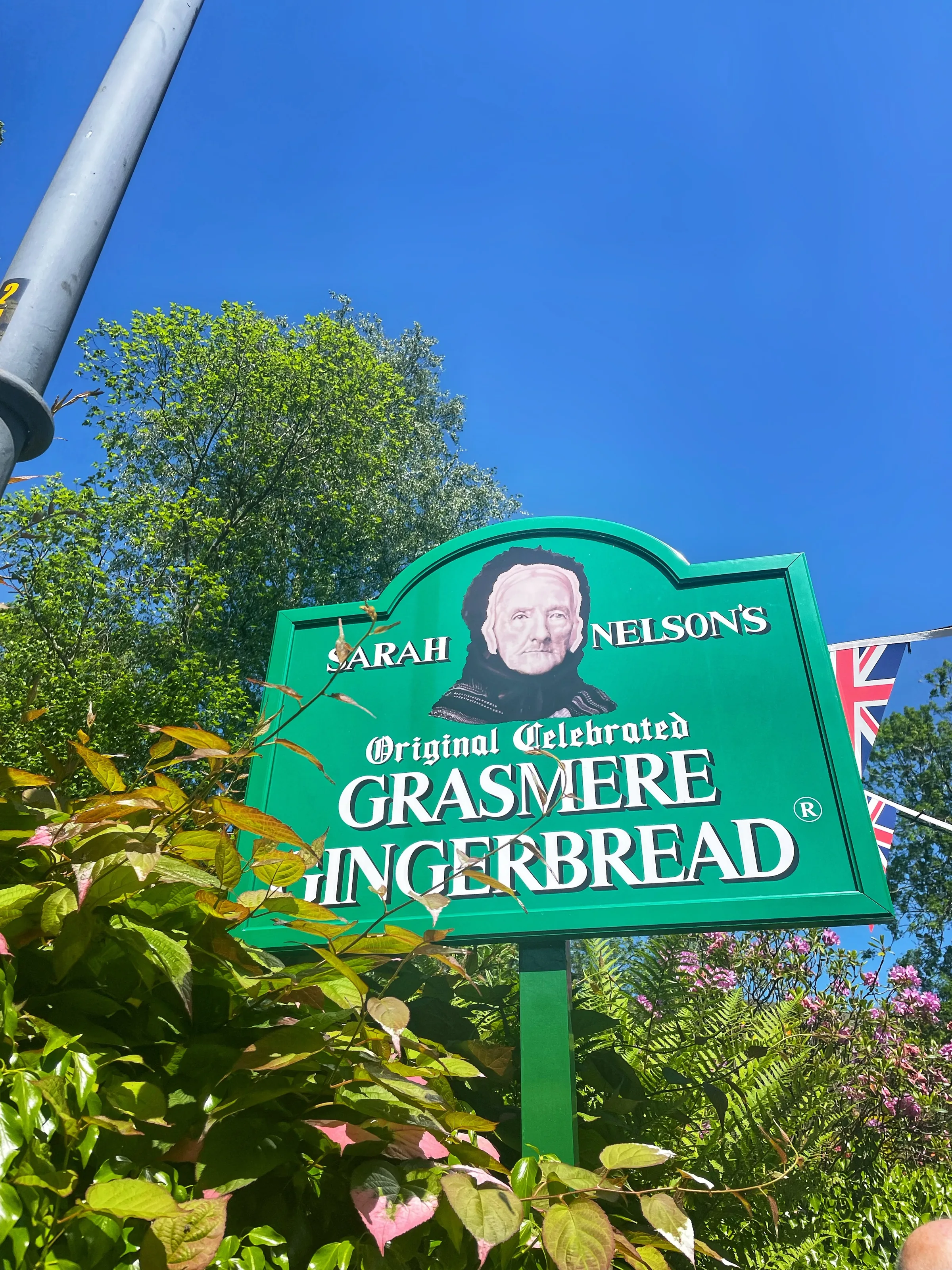
The tiny shop by the church gate, a short walk from the car park, where Sarah Nelson started baking her secret-recipe gingerbread in 1854. Pick some up for the walk. It's also a power-up in our game, Quest for the Lost Peak: grab the gingerbread for higher jumps and a triple jump.
Weather
Hike Videos
Note: Videos are made by other walkers, not The Lost Peak. They may not follow this exact route, and paths, conditions and facilities may have changed since filming.
Photo Gallery
Photos
Photo credits
Photos without a credit are our own. These are used under Creative Commons licences; thank you to the photographers.
 Grasmere and Rydal Water from Silver Howby Anthony Foster, Wikimedia Commons (Geograph)Original photoCC BY-SA 2.0 licence
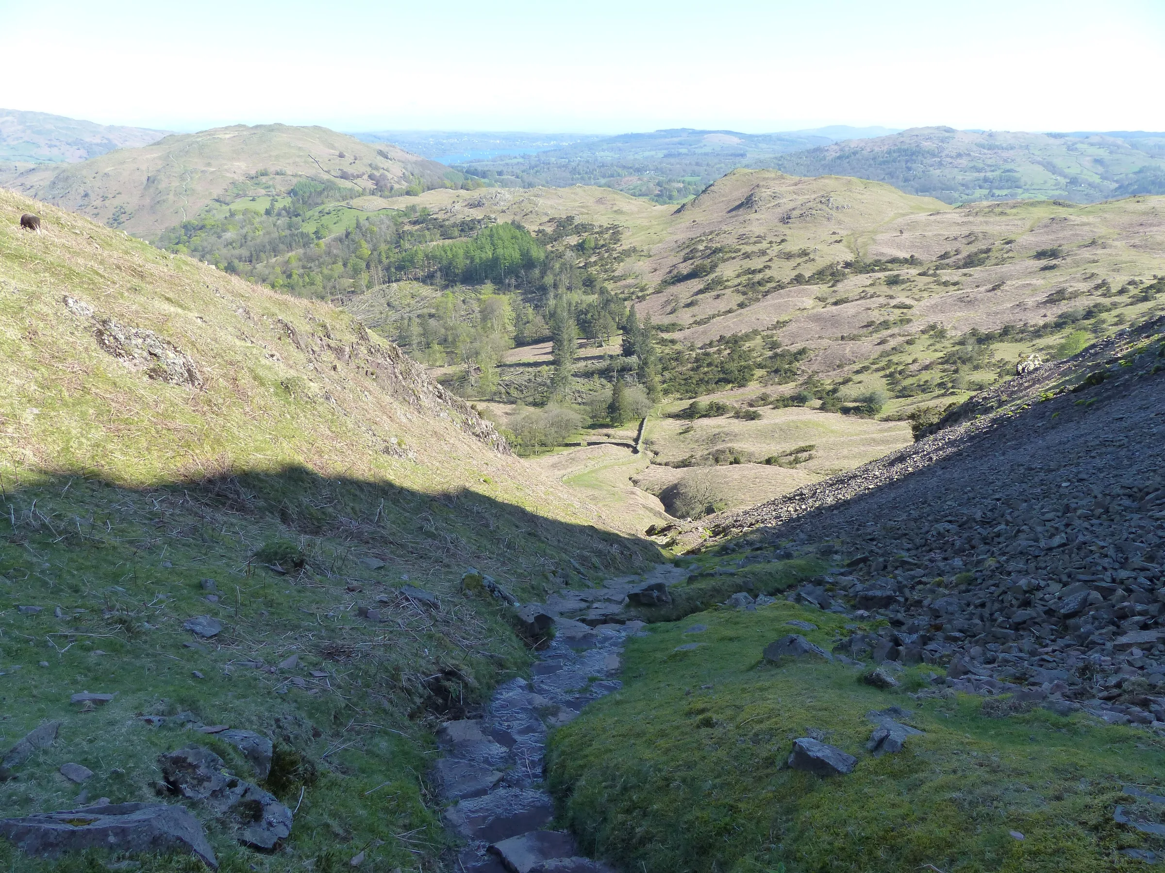
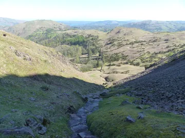 The steep gully below Silver Howby Anthony Foster, Wikimedia Commons (Geograph)Original photoCC BY-SA 2.0 licence
Hints & Tips
Rocky Beside the Falls
The climb beside Sourmilk Gill is on a rough, rocky path with stone steps, and it gets slippery after rain. Take your time, keep children close where the path runs near the falls, and stop at the top to look back down to Grasmere.
Finding the Way to Silver How
The ridge between Blindtarn Gill and Silver How is a jumble of little knolls and crossing paths, and it's easy to lose the line in cloud. Keep heading south-east towards the cairn on Silver How, and follow the route on your phone if the mist comes down.
Steep and Loose Down to Grasmere
The path from Silver How down to the village is steep, with loose stones in places. Poles help, and in wet weather take it slowly.
Swim or Paddle
Easedale Tarn is a favourite wild swimming spot on hot days. The water stays cold all year, so get in slowly and stay near the shore.
Gingerbread for the Walk
The Grasmere Gingerbread shop is a short walk from the car park, so it's easy to pick some up before you set off. There's often a queue in summer, so go early.
Interesting Facts
General
Made by Ice
Easedale Tarn sits at 280m in a hollow carved by a small glacier, and the ice melted to leave the tarn about 11,000 years ago
Milky White Falls
Sourmilk Gill gets its name from its waterfalls, which tumble down the hillside milky white
Wordsworth's Grasmere
Wordsworth lived in and around Grasmere for most of his life and is buried in St Oswald's churchyard, a short walk from the car park at the start of this walk
The Lion and the Lamb
From the top of Silver How you look straight across to Helm Crag, whose summit rocks are known as the Lion and the Lamb
Tea at the Tarn
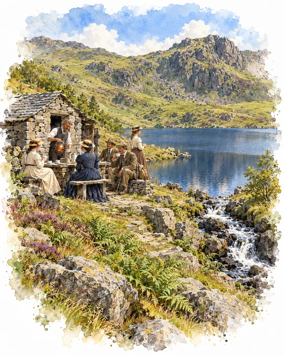
The path to Easedale Tarn was a popular walk in Victorian times, and in the 1800s a Grasmere man, Robert Hayton, set up a small refreshment hut just above the tarn's outlet so thirsty walkers could stop for a drink when they arrived. One photo archive says the stone hut was first built to shelter riders and their ponies, and that Hayton started serving food and drink there in the late 1800s. After he died, his son-in-law, William Wilson, carried on and served bacon and eggs to hungry visitors.
The hut has long gone, and nettles grow over the few stones that are left, but the view from where it stood is just the same. You can see the hut in an early 1900s photograph from the Sankey family archive, now held by Cumbria Archives.
The Greens of Blindtarn Gill
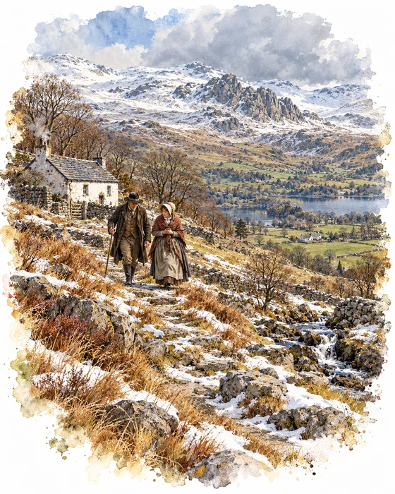
On 19 March 1808, George and Sarah Green left their farm at Blindtarn Gill, which this walk passes, to go to a sale over the fells in Langdale. On the way home they were caught in a snowstorm and died on the fell. Their daughter Jane, just eleven years old, was left caring for five younger brothers and sisters, the youngest a baby, and it was two days before the alarm was raised.
Men searched the hills on the Monday and the Tuesday, and the bodies were found on the Wednesday afternoon. Sarah lay on rough ground above the fell walls beside Mill Beck, and George had fallen over a crag. The couple were buried together in one grave that Friday.
Dorothy Wordsworth and her brother William helped raise money for the children, and a committee of local ladies looked after them and the fund as they were placed with families in Grasmere. Dorothy wrote the story down that spring, and William wrote a poem that begins: Who weeps for Strangers? Many wept for George and Sarah Green.
More Hikes
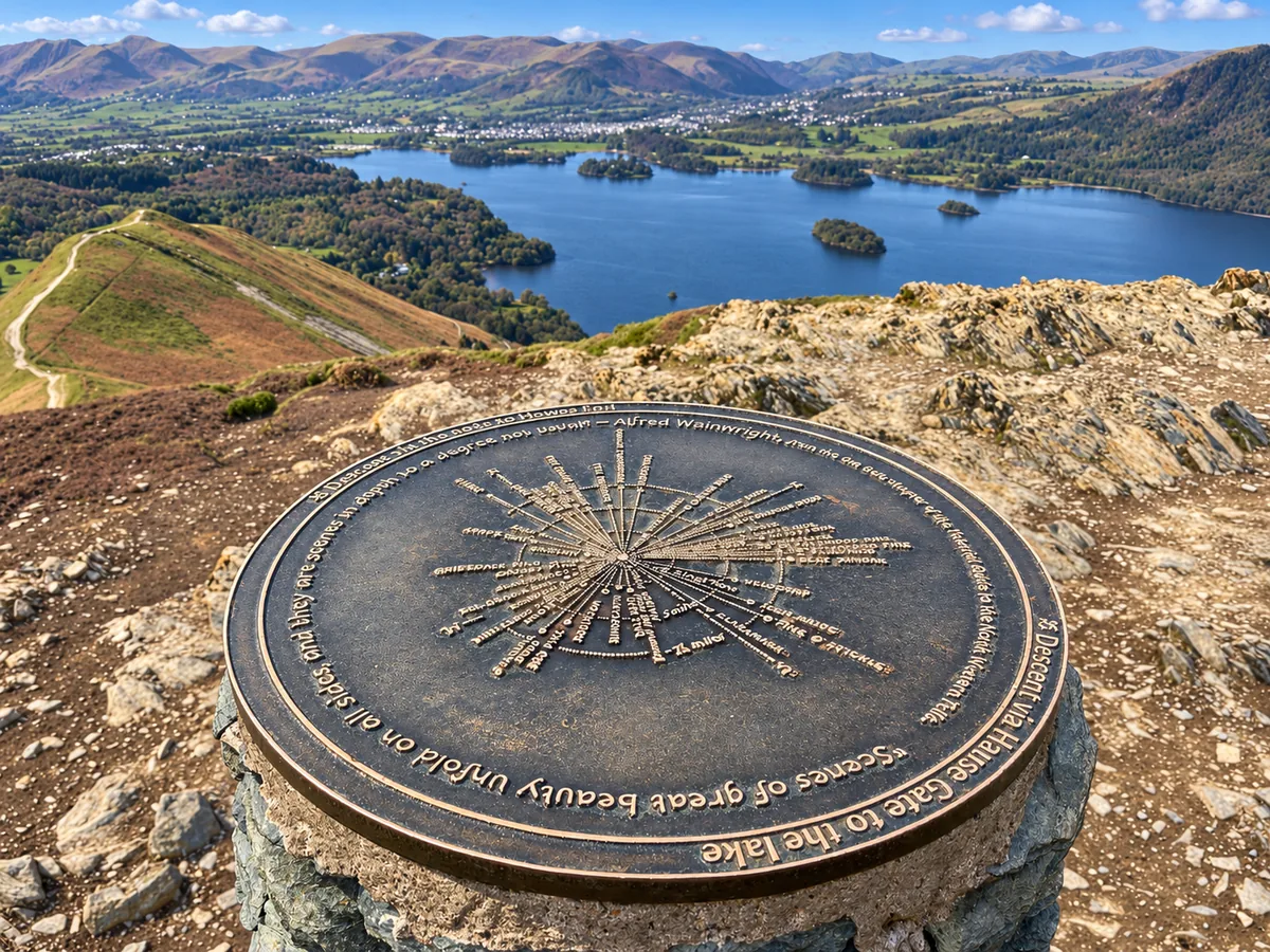 ModerateCatbells3.6 mi · 2–3 hrs · 404m
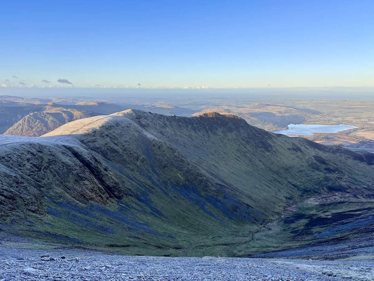 HardSkiddaw6.5 mi · 4–5 hrs · 870m
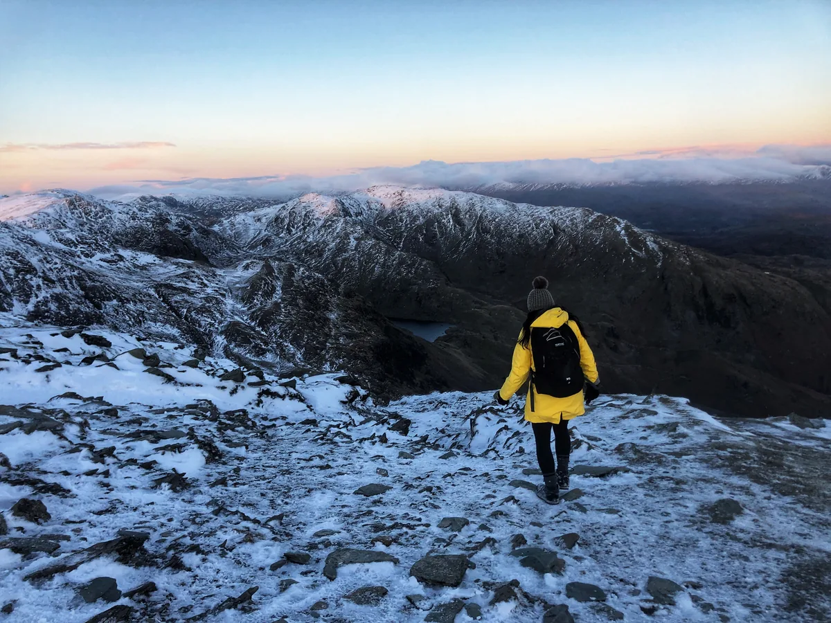 HardOld Man of Coniston4.9 mi · 3–4 hrs · 585m
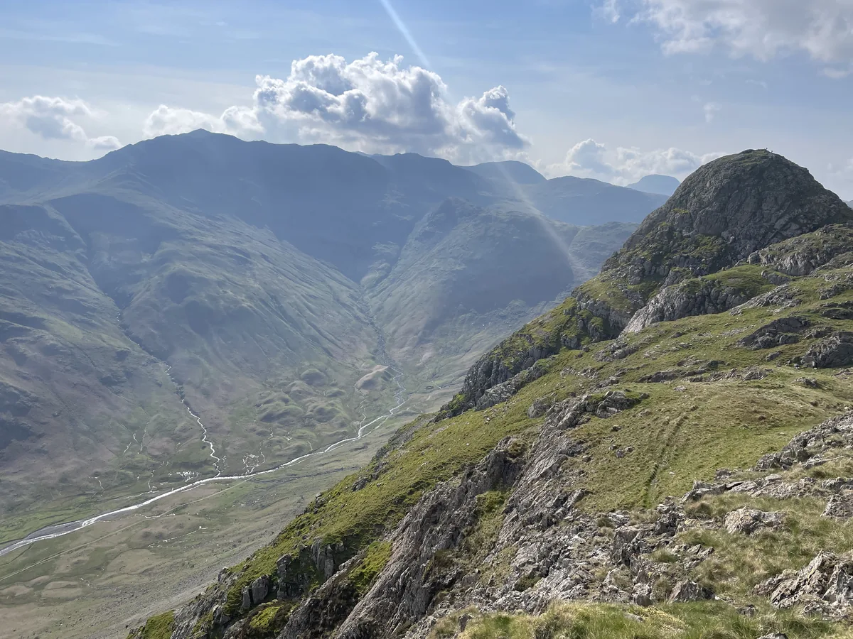 HardPike of Stickle4.1 mi · 3–4 hrs · 710m
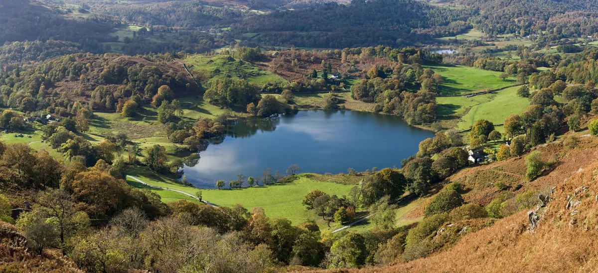 EasyLoughrigg Fell3.0 mi · 2–2½ hrs · 326m
 ModerateWalla Crag & High Seat5.8 mi · 3½–4½ hrs · 547m
Subscribe for updates on new hikes and National Parks
One email a month with new hikes and routes. No spam.