



Contents
Overview
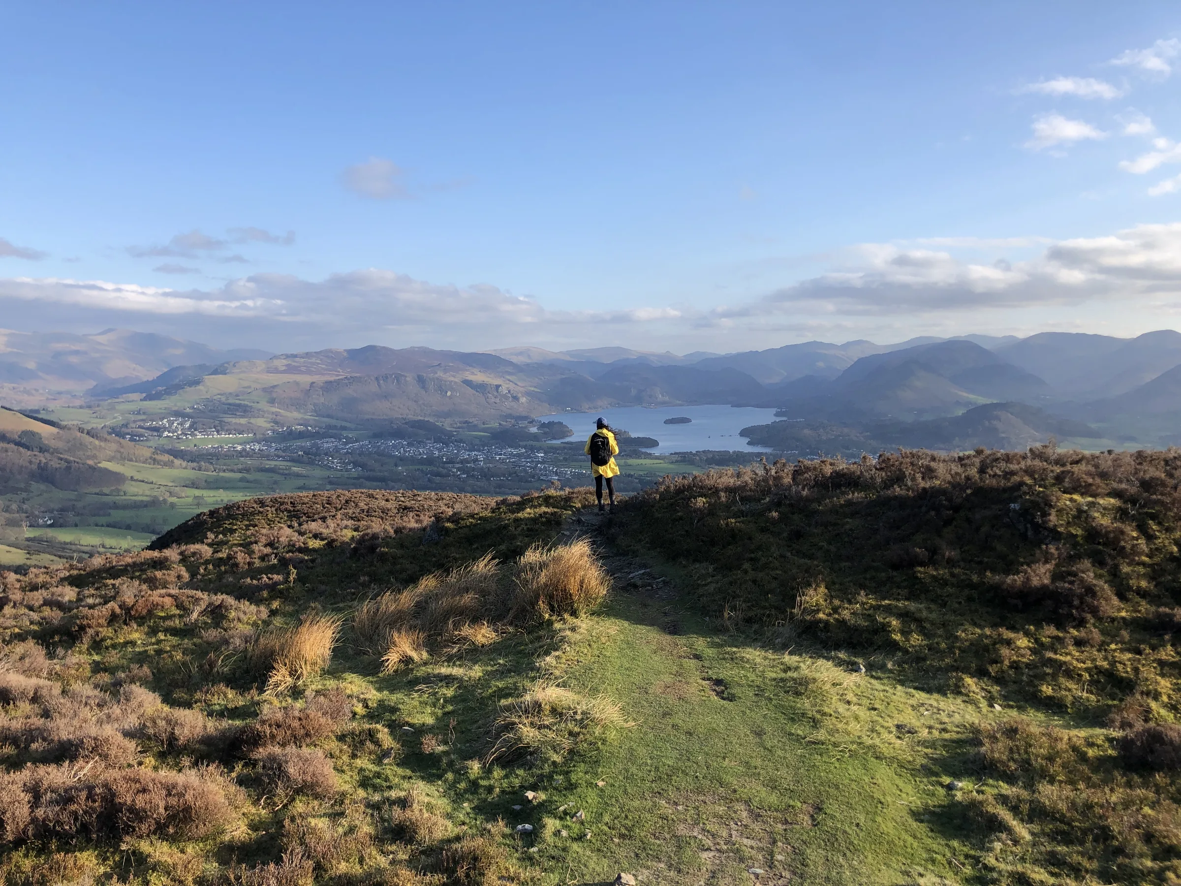
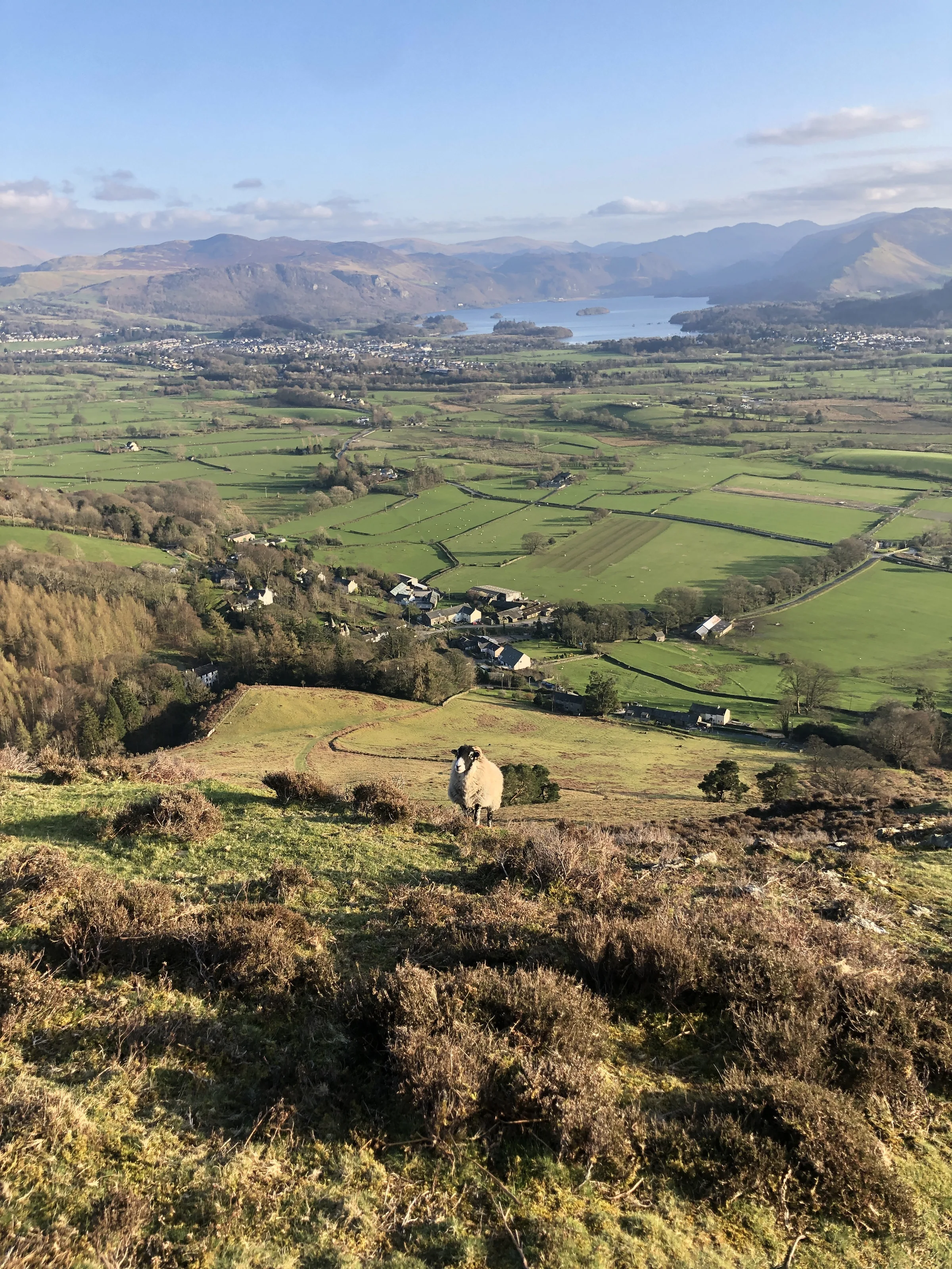
Towering over Keswick, Skiddaw is one of only four Lake District mountains over 3,000 feet, and its smooth, rounded bulk is one of the most familiar shapes in the National Park. Most people climb it by the broad tourist path from Keswick, but the walkers who know it best come this way instead: up the narrow ridge of Ullock Pike and Longside Edge, with Bassenthwaite Lake shining below you almost all the way.
The loop starts at Dodd Wood, where there's parking, toilets and a tearoom. Woodland paths through Longside Wood lead north to the foot of The Edge, and from there it's a steady climb onto Ullock Pike, then a gentle ridge walk over Long Side to Carl Side. The last pull up the stony shoulder to the summit is the hardest part of the day, but the reward is a view that, on a clear day, reaches Scotland, the Isle of Man and most of the high fells. You come back over Carl Side and down past White Stones to the col at Long Doors, finishing on the forest tracks through Dodd Wood, where ospreys have nested. This walk takes in four Wainwrights: Skiddaw, Carl Side, Long Side and Ullock Pike. Find all 214 on our Wainwrights map.
Go prepared, stay safe,
and enjoy the hike!
Key Info
Crowds
Moderate
Most people climb Skiddaw by the tourist path from Keswick, and that is where the crowds are. This route up Ullock Pike from Dodd Wood comes in from the quieter west side. You are most likely to meet people near the summit, where the routes join.
When it gets busy
- The main summit, where walkers from the Keswick tourist path arrive
- Fine weekends, bank holidays and school holidays (general Lake District pattern)
- Dodd Wood car park (90 spaces) on sunny weekends, as it also serves the Dodd woodland walks
For a quieter walk
- Stick with this route: the tourist path from Keswick takes most of the footfall
- Linger on Ullock Pike and Long Side rather than the main summit, as Skiddaw's lesser tops are much quieter
- Go midweek or out of season
- Start early, or time your summit visit for later in the day when the tourist path traffic has gone down (general advice)
Our crowd rating is for a typical sunny weekend in spring or summer, in the middle of the day. Timing makes a big difference, so even a busy walk can be quiet early, late or midweek.
The Route
Disclaimer: Route information and GPX files are provided for general guidance only. Conditions can change, so always use your own judgement and navigate responsibly. See our Terms of Use & Disclaimer for more information.
Route Guide
- 1
North through Longside Wood1.4 mi · 240m up · 20m downFrom the car park, follow the woodland paths north through Longside Wood. Leave the trees for the open fell and climb north-east to the crossroads of paths at the end of the ridge, then turn right.
- 2
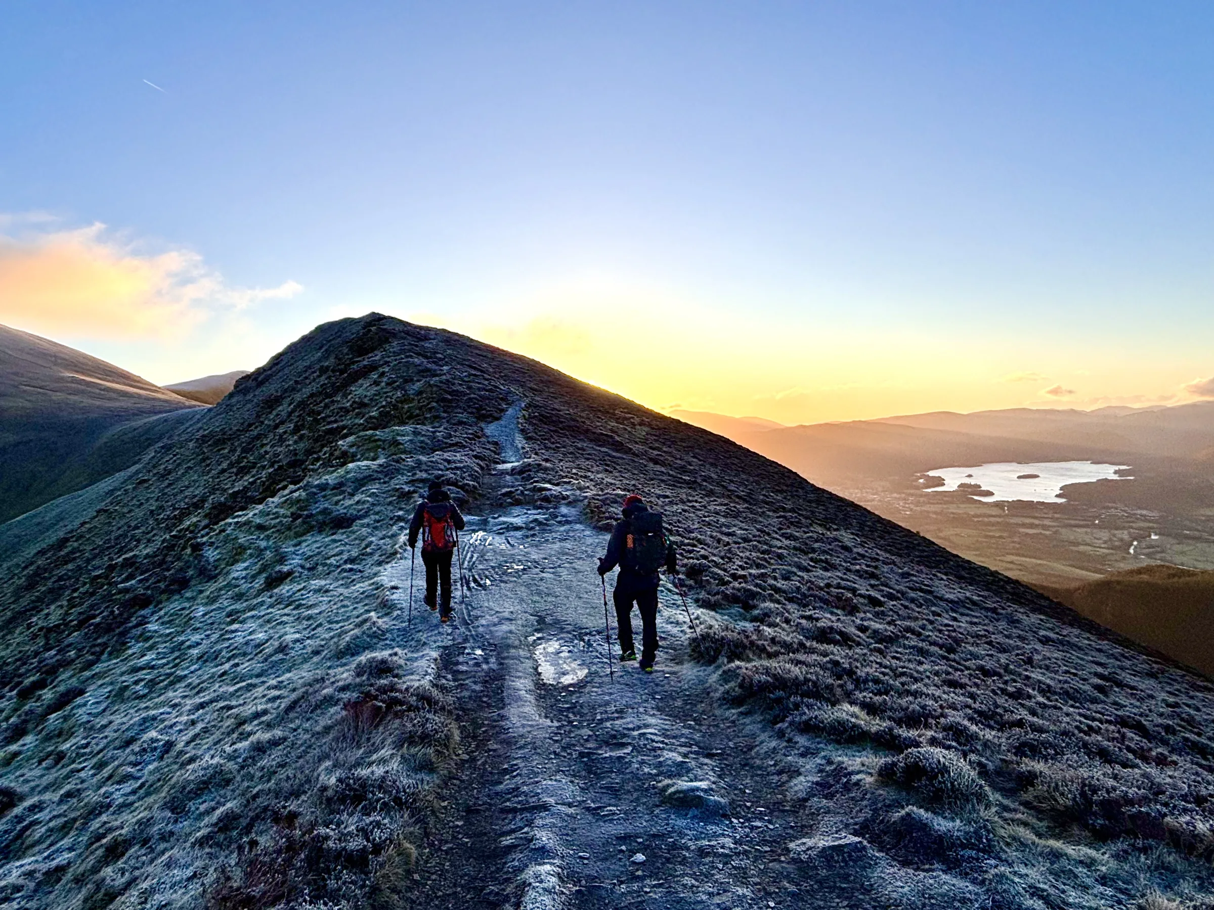
Up The Edge to Ullock Pike0.9 mi · 330m upFollow the ridge, known as The Edge, as it climbs steadily south, then south-east, over a series of rocky knolls to the top of Ullock Pike, with Bassenthwaite Lake below. The slate is slippery when wet, and most of the knolls can be skirted if you'd rather.
- 3
Over Long Side and Carl Side0.9 mi · 100m up · 30m downCarry on along the narrow crest of Longside Edge to the top of Long Side, then drop to a dip and rise gently to Carl Side. Just beyond it is a col with little Carlside Tarn, at the foot of Skiddaw's final slope.
- 4
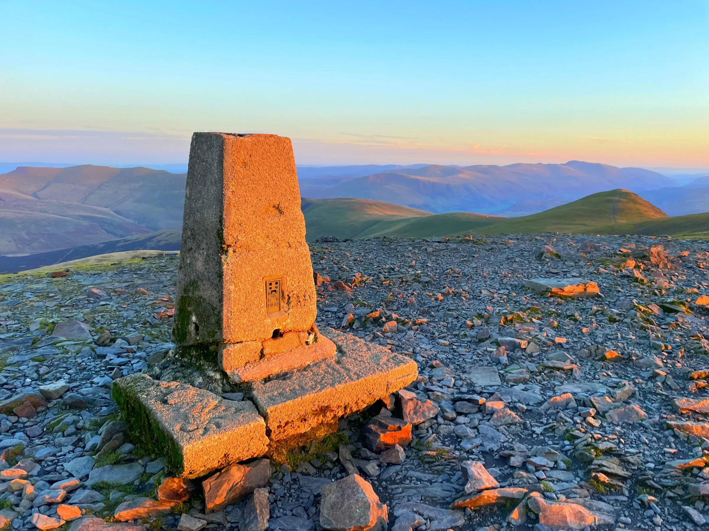
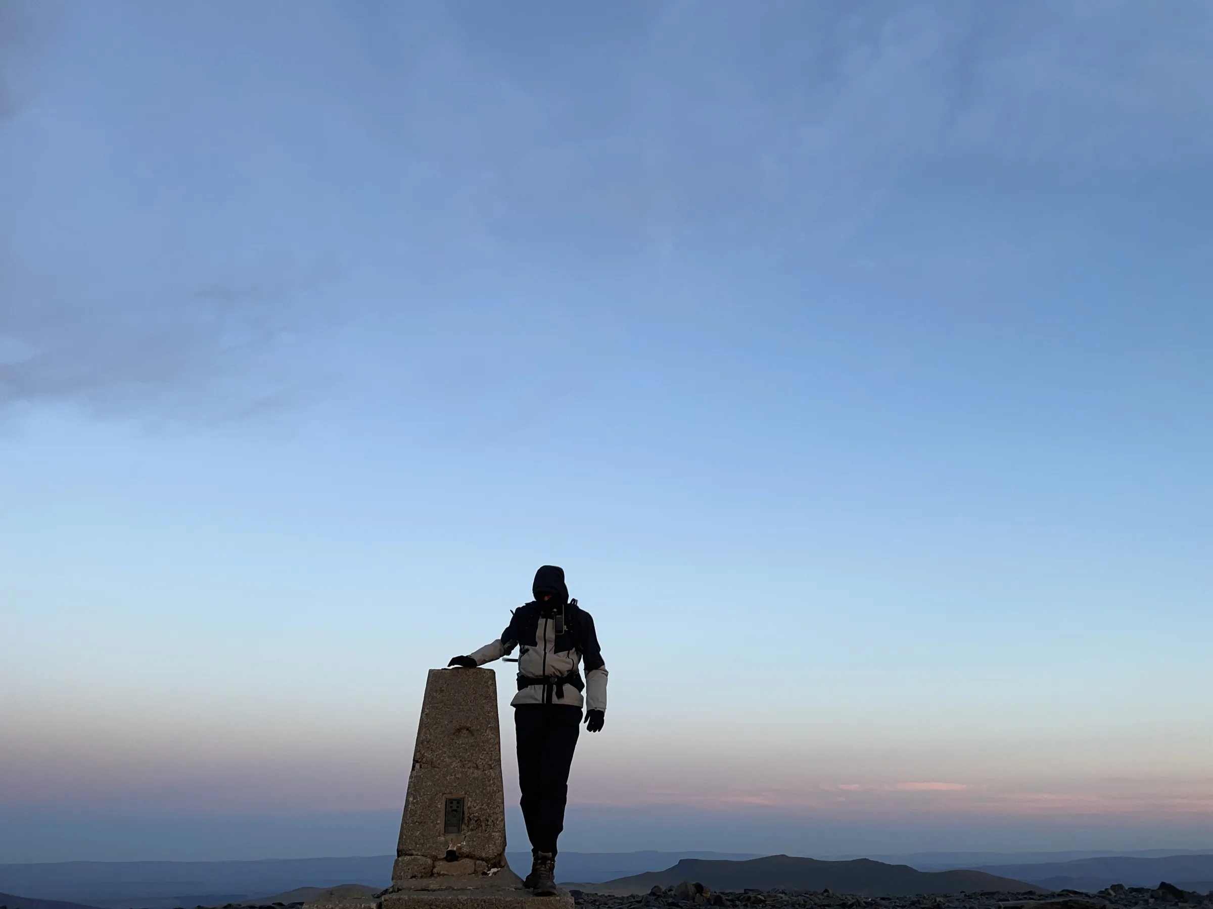
The pull to the summit0.6 mi · 190m upFrom the col, a steep, loose path climbs north-east up the stony slope to the long summit ridge. Turn left and follow the ridge north to the trig point on the summit.
- 5
Back to Carl Side0.8 mi · 10m up · 200m downRetrace your steps along the ridge and back down the steep path to the col by Carlside Tarn, then make the short climb back onto Carl Side.
- 6
Down past White Stones0.8 mi · 330m downFrom Carl Side, take the path heading south, steeply down to White Stones, a patch of white quartz rocks. Here bear right (west) and drop to the col at Long Doors, between Carl Side and Dodd.
- 7
Forest tracks to Dodd Wood1.1 mi · 290m downAt Long Doors, join the forest track and follow it down north-west through Dodd Wood, back to the car park and tearoom.
Use the route on OS Maps, AllTrails or Komoot to navigate on the day; this guide is for planning.
Parking
The walk starts from the Forestry England car park at Dodd Wood (CA12 4QE), on the A591 about 3 miles north of Keswick, opposite the entrance to Mirehouse. It's open 24 hours and you pay on the way out at the machine by the toilet block (card or contactless), or online with Park with Ease within 48 hours. The first 20 minutes are free, then it's £2.10 for the first hour and 55p for each 15 minutes after that, up to £13 for the whole day, so expect to pay around £9 to £13 for this walk. Forestry England members park for free; check the latest prices here.
*Prices correct at time of writing; check before you travel.
Alternative Parking
Facilities & Hospitality
The toilet block by the car park entrance is open 24 hours a day and has an accessible toilet.
Right in the Dodd Wood car park, opposite Mirehouse, this tearoom is open daily from 10AM to 4PM in season (Mirehouse's season runs from April to early November), so check before you go in winter. Expect homemade Cumbrian food, walkers' breakfasts, soup, sandwiches, cakes and Lakeland ice cream, with outdoor tables where dogs are welcome. The car park toilets are right next door.
Weather
Hike Videos
Note: Videos are made by other walkers, not The Lost Peak. They may not follow this exact route, and paths, conditions and facilities may have changed since filming.
Photo Gallery
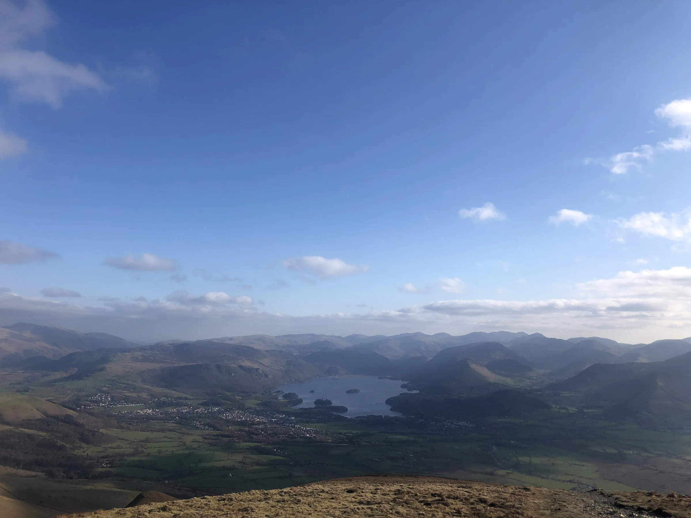
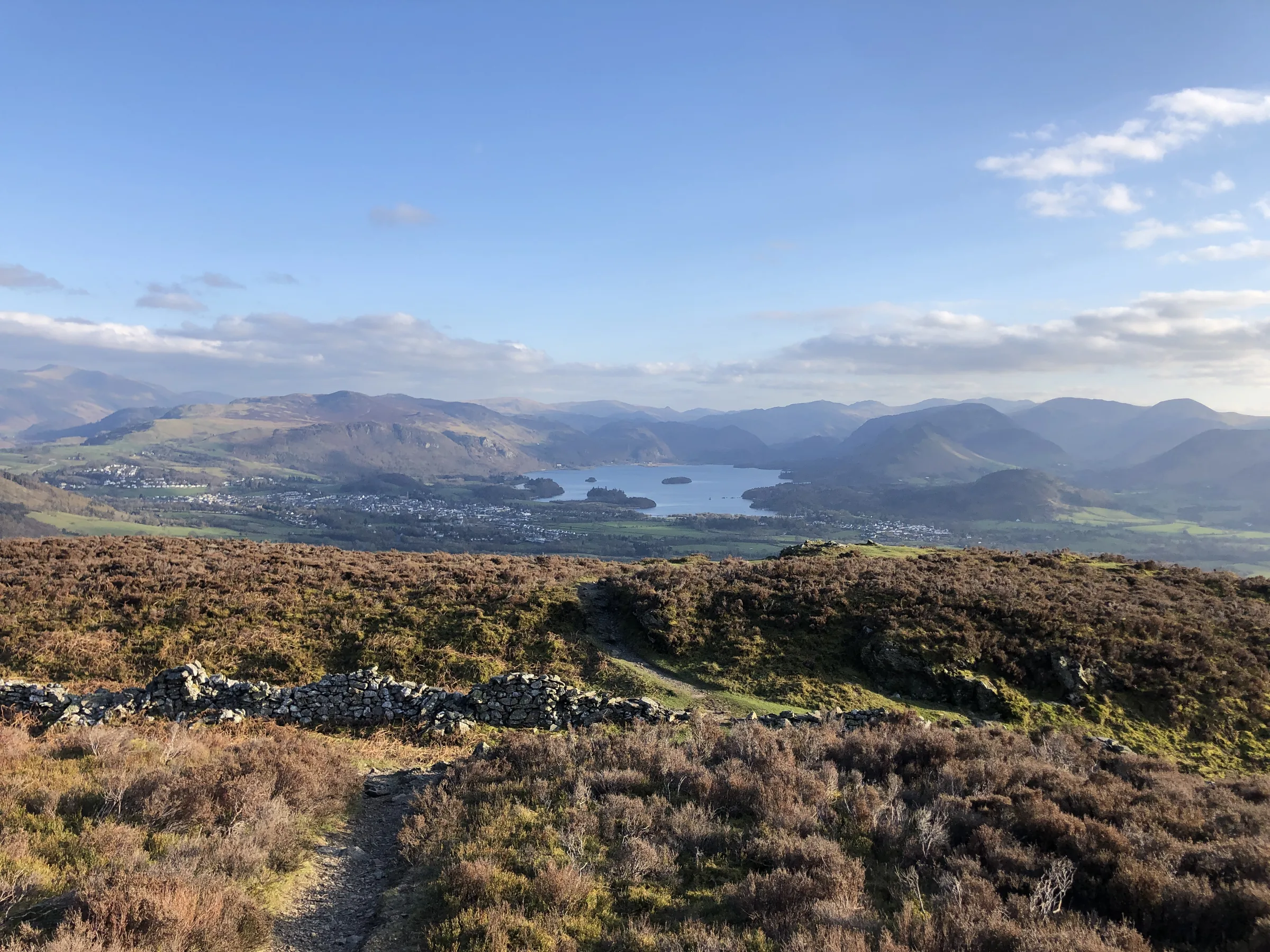
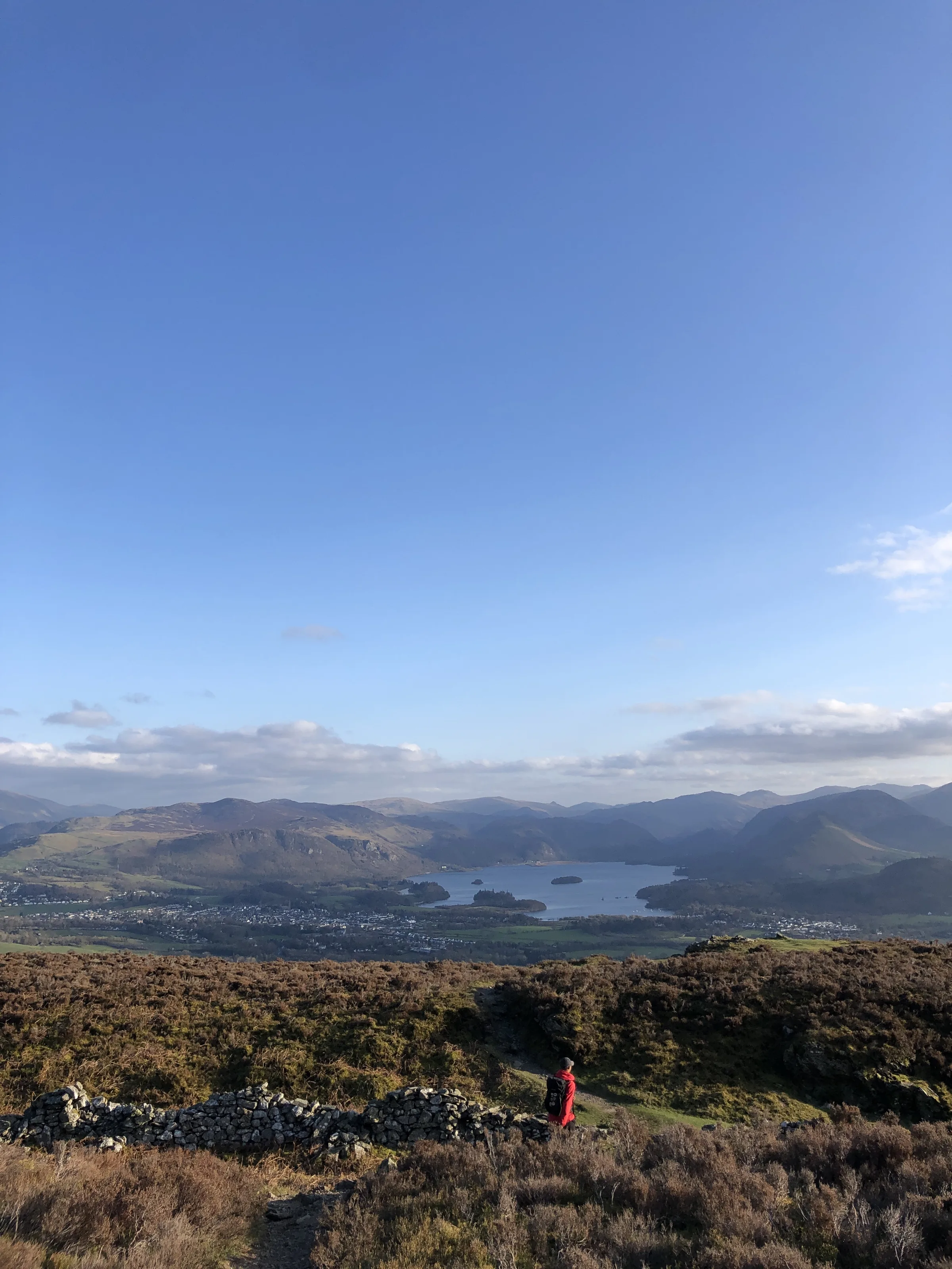
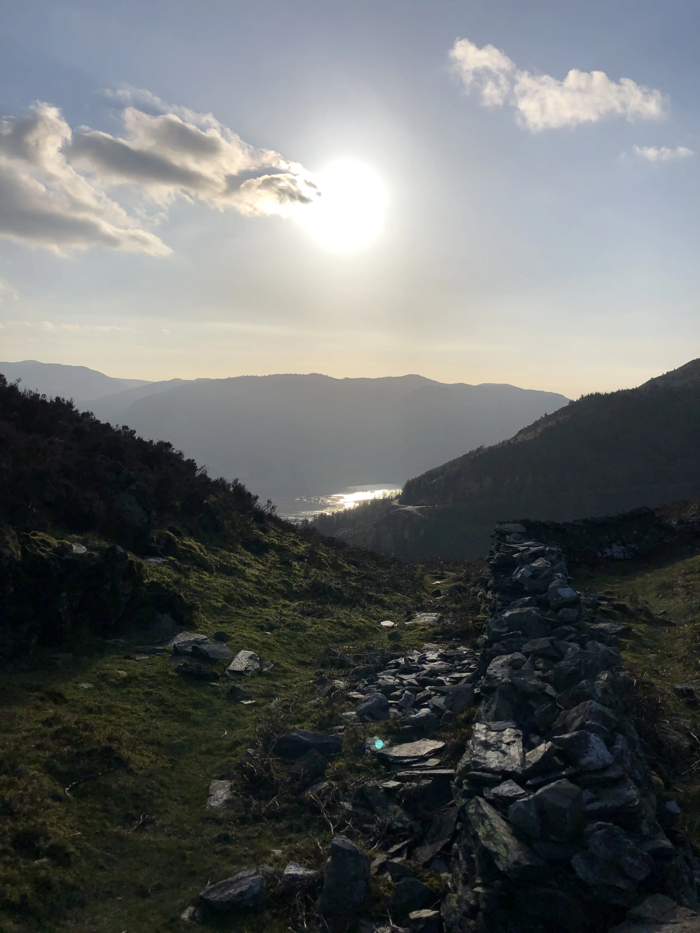
Photos
Photo credits
Photos without a credit are our own. These are used under Creative Commons licences; thank you to the photographers.
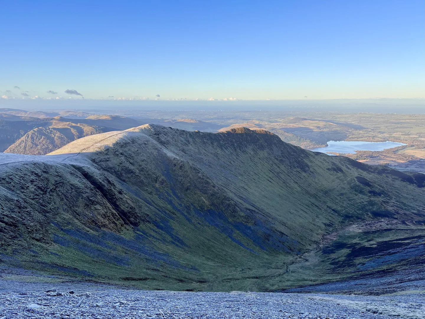
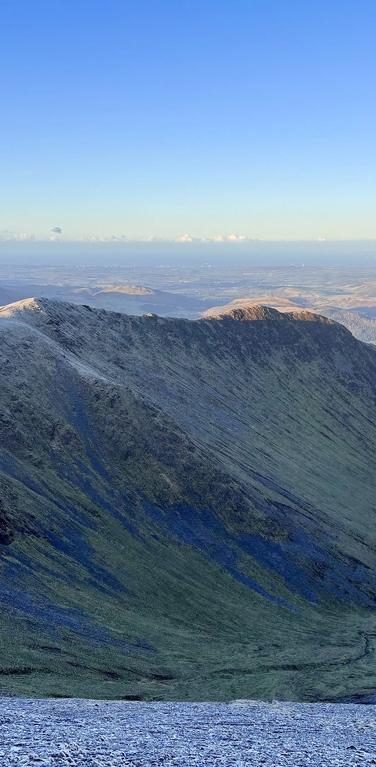
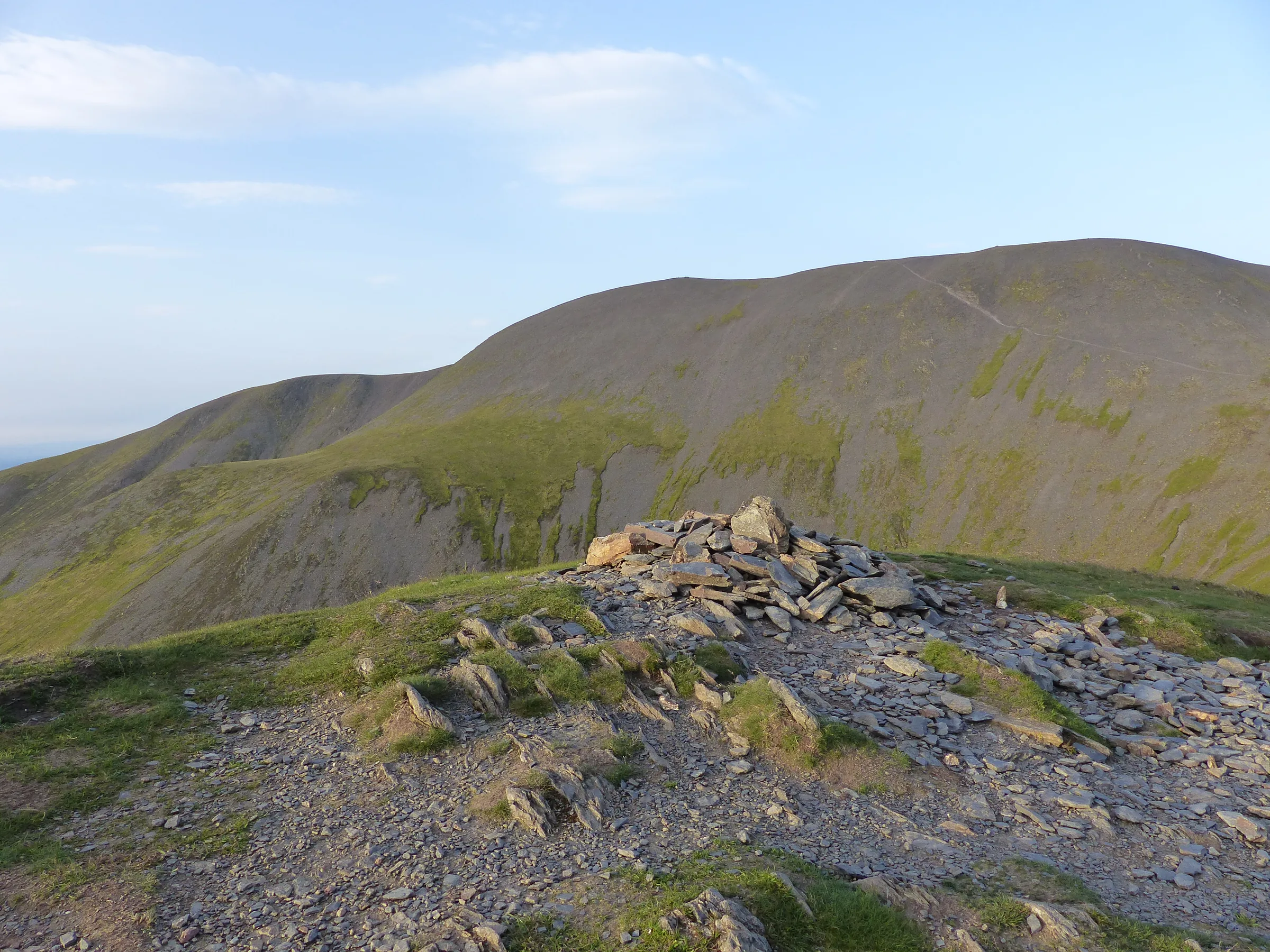
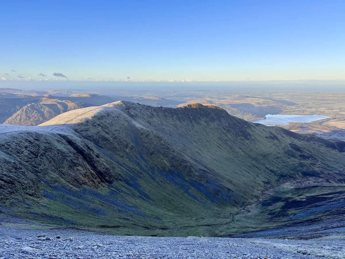 Longside Edge and Ullock Pike from the slopes of SkiddawHero photo · by Iain Lees, Wikimedia Commons (Geograph)Original photoCC BY-SA 2.0 licence
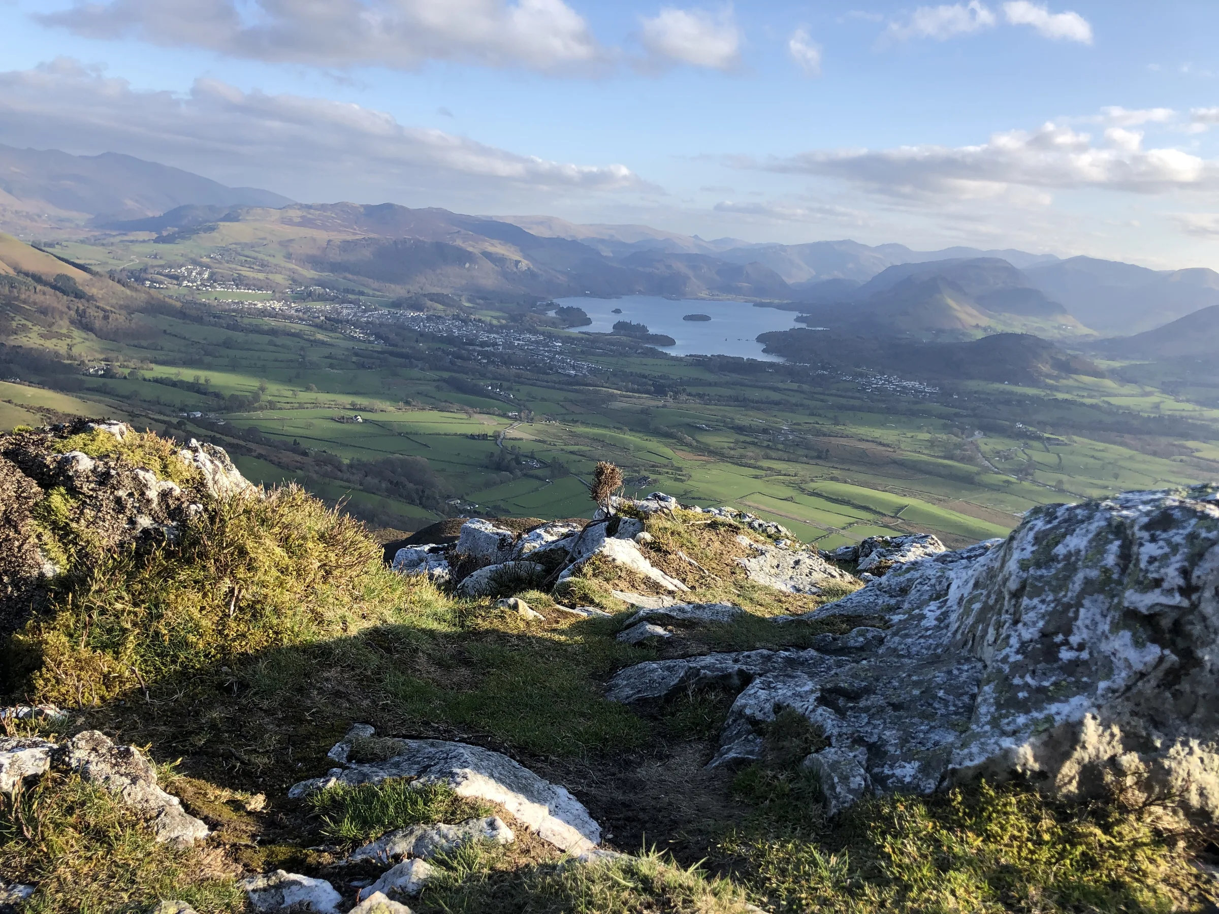
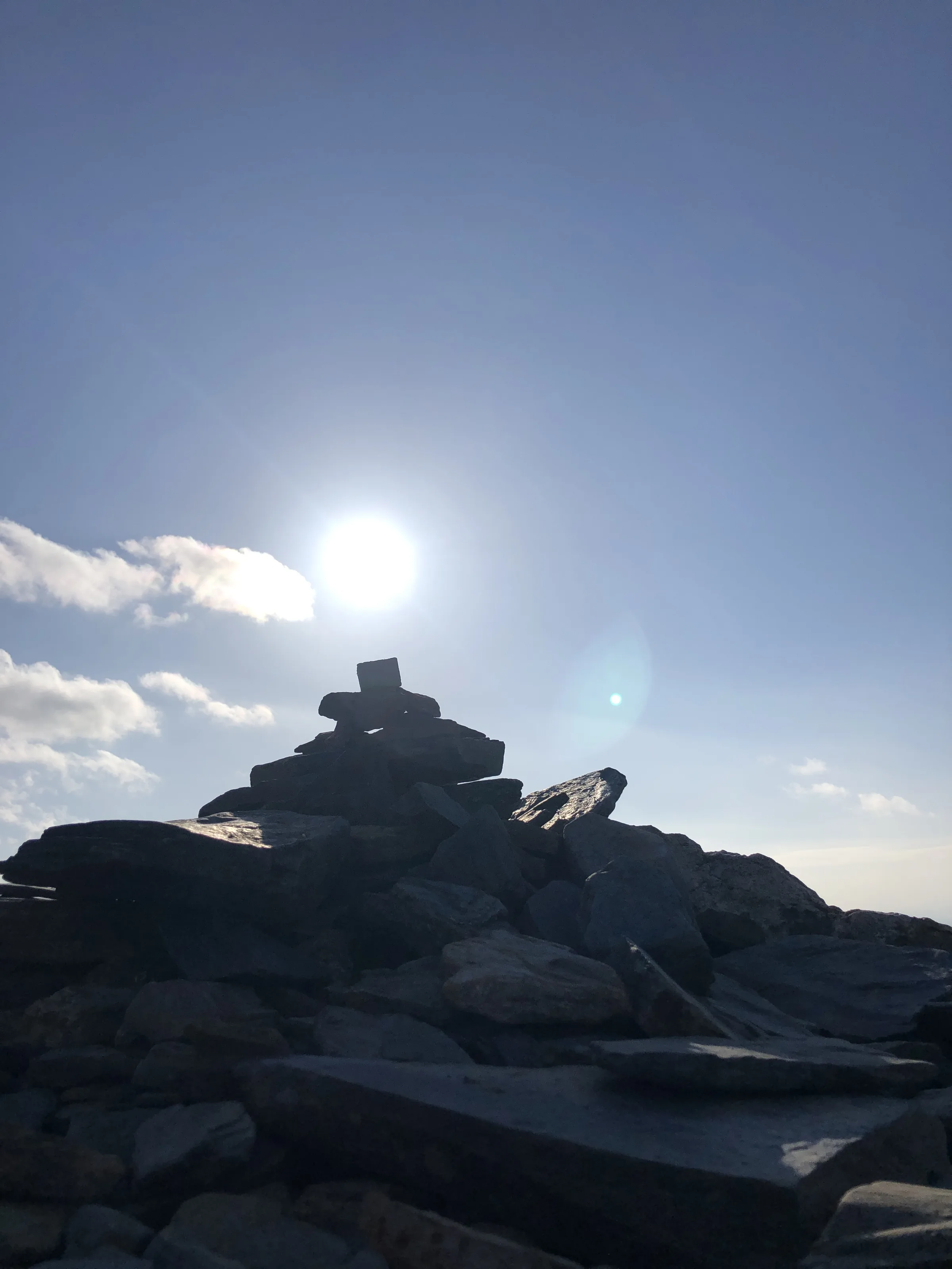
 Longside Edge summitby Anthony Foster, Wikimedia Commons (Geograph)Original photoCC BY-SA 2.0 licence
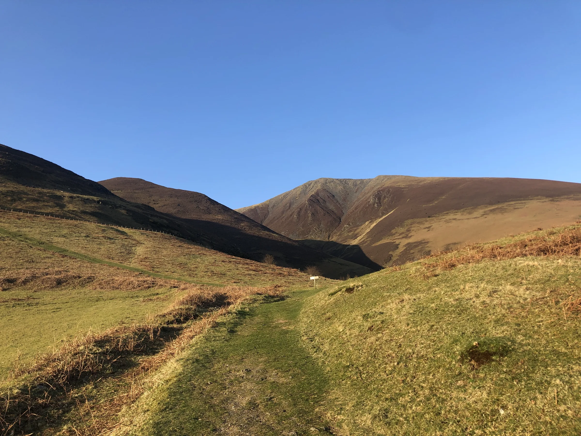
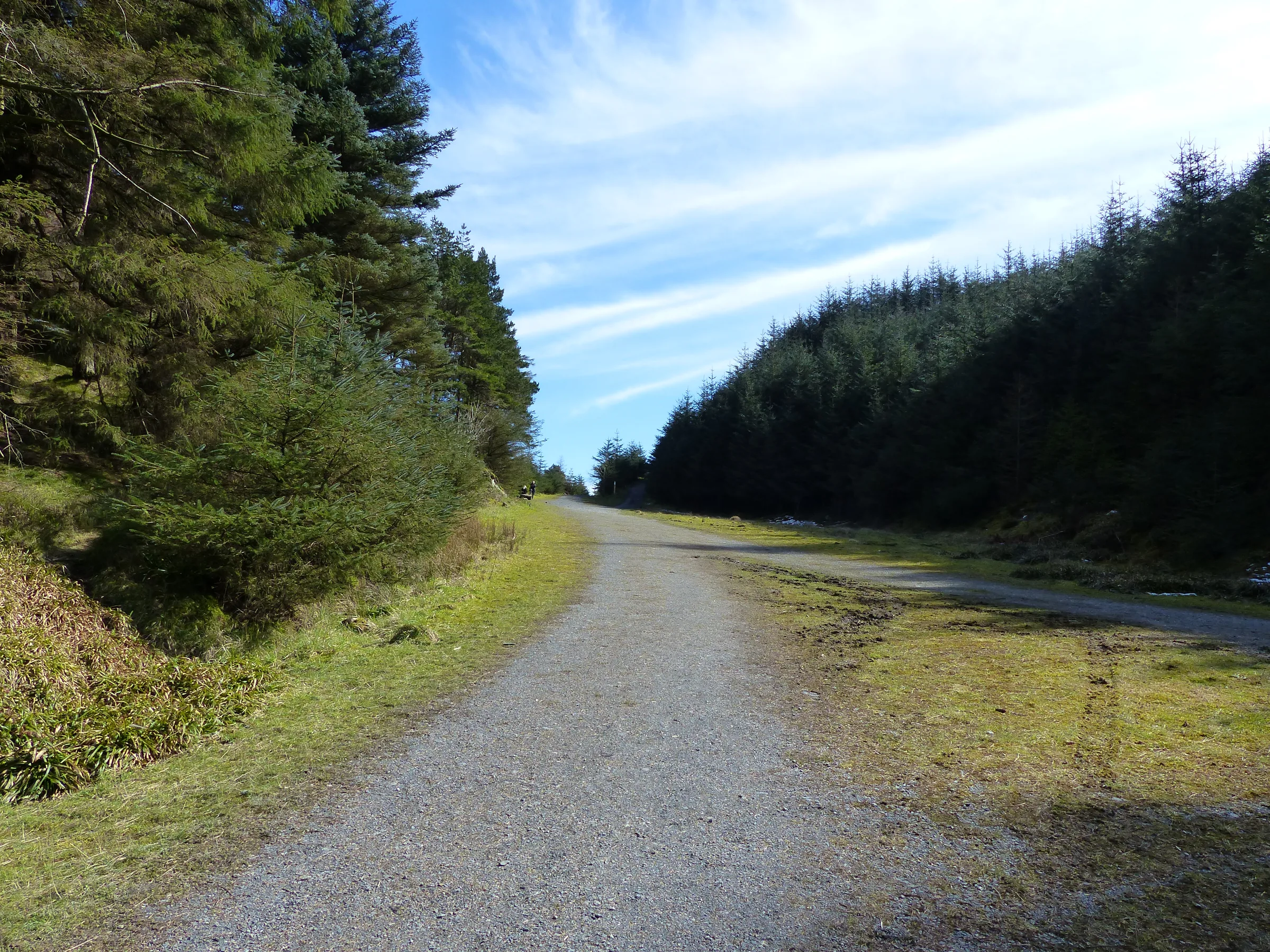
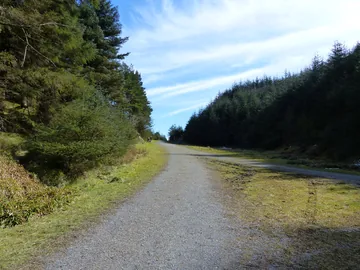 Converging Forest Roads below Long Doorsby Anthony Foster, Wikimedia Commons (Geograph)Original photoCC BY-SA 2.0 licence
Hints & Tips
The Final Climb
The pull from the col below Carl Side to the summit is steep and stony, with loose slate scree underfoot. It looks worse from below than it is: keep to the main path, take it slowly, and use the zigzags rather than heading straight up.
Slippery Slate
The rock on Ullock Pike and The Edge is Skiddaw slate, which gets very slippery in the wet. Wear boots with good grip, and go round the rocky knolls on the side path if you'd rather not tackle them head on.
Check the Summit Weather
Skiddaw's top is broad, bare and high, and it's often much colder and windier than Keswick, even in summer. Pack a warm layer, a hat and a waterproof, and check the mountain forecast before you set off. In cloud, the summit ridge can be confusing, so know your way off.
Spot the Ospreys
Ospreys first bred by Bassenthwaite Lake in 2001 and are usually in the Lake District from about April to early September. The Lake District Osprey Project ended in 2022, and the birds moved to a nest that is harder to see, so the old Dodd Wood viewpoint no longer looks onto it. Bring binoculars and keep an eye on the lake.
Make It Shorter
Not feeling the big climb? Turn back at Carl Side and head straight down past White Stones to Long Doors. You still get Ullock Pike, Long Side and Carl Side, three Wainwrights and most of the views, and save the hardest climb of the day.
Tea at the Start
The Old Sawmill Tearoom sits right in the car park and is open daily from 10AM to 4PM (Mirehouse's season runs from April to early November, so check before you go in winter), with walkers' breakfasts, soup and cake. There's nowhere else on the route, so take plenty of water and snacks with you.
Interesting Facts
General
Over 3,000 Feet
Skiddaw is 930.4m high, one of only four Lake District mountains over 3,000 feet, and the fourth highest of the 214 Wainwrights
Ancient Rock
Its slate is some of the oldest rock in the Lake District, laid down as mud on an ocean floor between about 480 and 460 million years ago, which is why the mountain has smooth, rounded slopes instead of crags
A Viking Name
The name probably comes from Old Norse, though nobody agrees exactly what it means; suggestions include an archer's hill or a hill with a jutting crag
Bob Graham Round
Skiddaw is the first summit of the Bob Graham Round when it's run clockwise, a 66-mile loop of 42 fells in 24 hours
The Waterloo Bonfire

On 21 August 1815 a crowd climbed Skiddaw to celebrate the victory at Waterloo. The poets Robert Southey and William Wordsworth were there with their families, and the party feasted on roast beef and plum pudding boiled on the summit. Punch was drunk with toasts to the Prince Regent, the Duke of Wellington and Prince Blücher, and cannon fire passed each toast on to the valley below.
Southey called it the finest bonfire he ever saw. Balls of tow and turpentine were set alight and rolled down the mountainside, and everyone sang Rule Britannia and God Save the King around the flames. At about ten o'clock the party headed down by torchlight, reaching Keswick at midnight, where fireworks and a fire balloon carrying the words Wellington and Waterloo finished the night.
The only mishap came when somebody kicked over the kettle of boiling water meant for the punch. Water was scarce on the summit, so once it ran out the rum was drunk neat. An inquiry found that the culprit was Wordsworth, and Southey led the company in a mocking song at his friend's expense.
Ospreys of Bassenthwaite
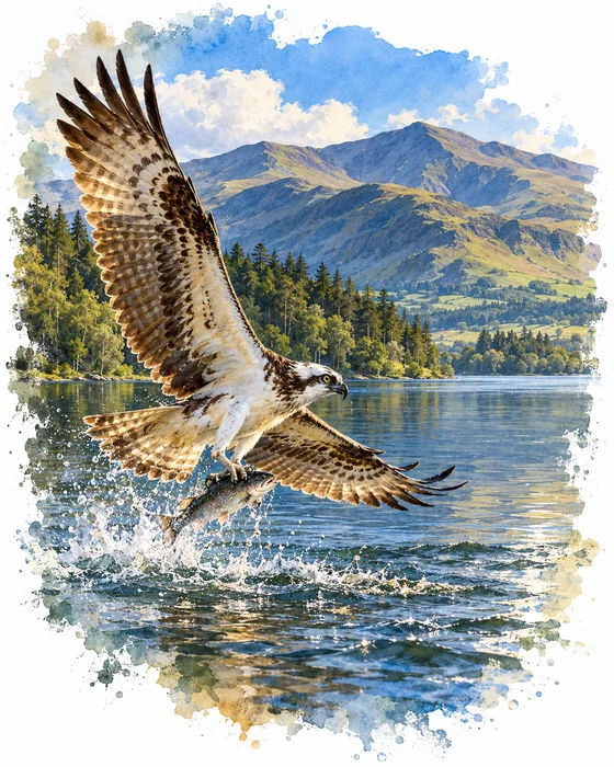
In 2001 a pair of ospreys nested beside Bassenthwaite Lake, the first to breed in the Lake District for over 150 years. Before then there was no record of ospreys nesting anywhere in England since the 1830s. The Lake District Osprey Project had built a nest platform in Wythop Woods, overlooking the lake, to tempt them, and that first pair raised one chick.
Ospreys have come back every year since, using different nest sites and raising at least one chick most years. They usually arrive in late March or early April, the eggs are laid towards the end of April and the chicks hatch in early June. In mid to late August they set off on a 3,000 mile flight to West Africa for the winter, and satellite tracking has shown them covering up to about 270 miles in a single day.
For many years staffed viewpoints in Dodd Wood, at the start of this walk, let visitors watch the nest through telescopes. The Lake District Osprey Project was wound up in 2022 because ospreys were breeding around the Lake District again, and the Dodd Wood viewpoint has closed since the birds moved to a nest that is harder to see. Bring binoculars and you may still spot them fishing over Bassenthwaite Lake in summer, or see them from the viewing platform at Foulshaw Moss in south Cumbria.
More Hikes
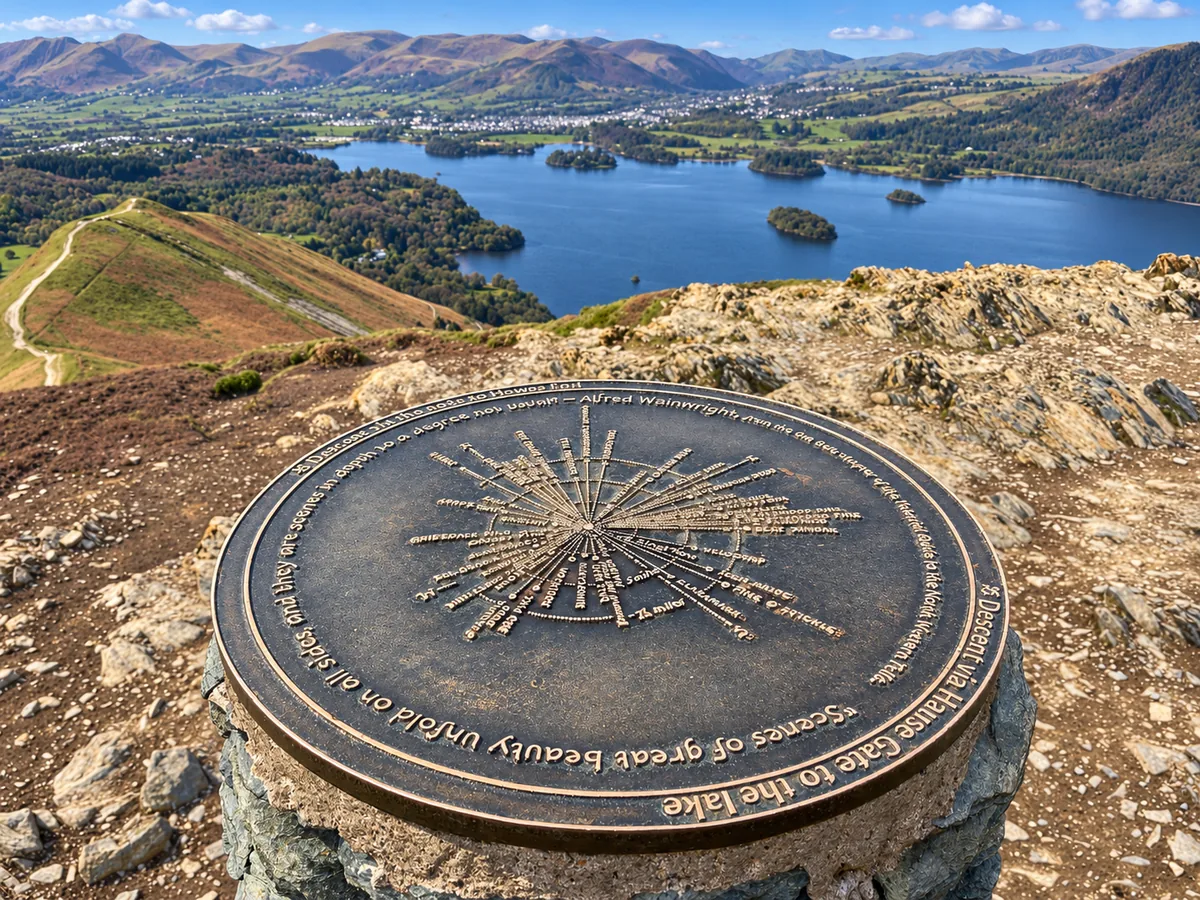 ModerateCatbells3.6 mi · 2–3 hrs · 404m
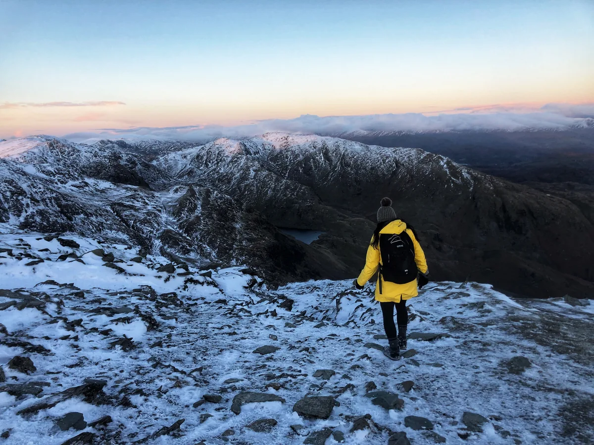 HardOld Man of Coniston4.9 mi · 3–4 hrs · 585m
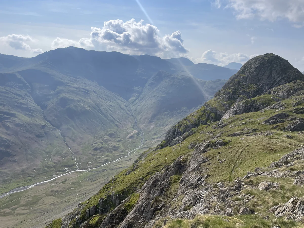 HardPike of Stickle4.1 mi · 3–4 hrs · 710m
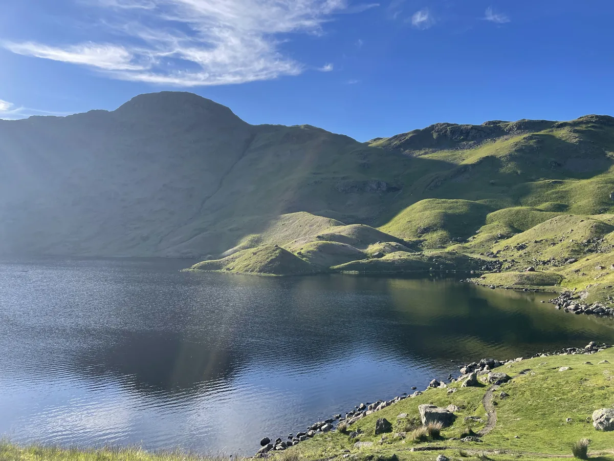 ModerateEasedale Tarn6.9 mi · 4–4½ hrs · 600m
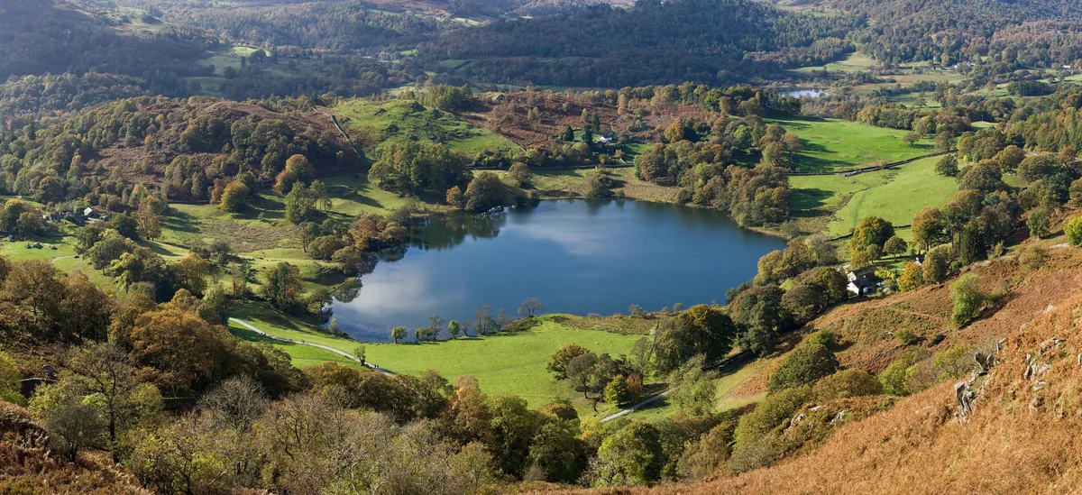 EasyLoughrigg Fell3.0 mi · 2–2½ hrs · 326m
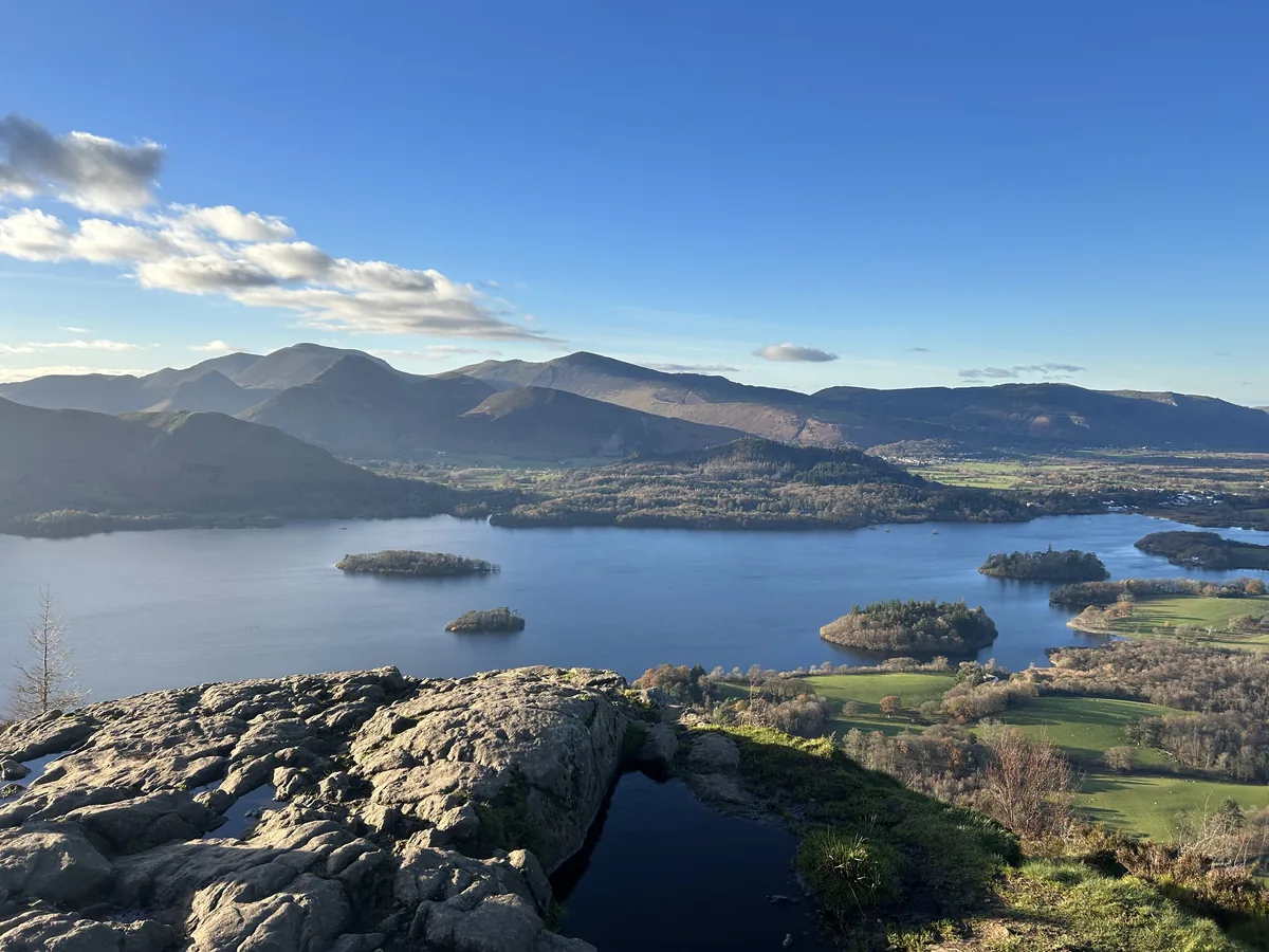 ModerateWalla Crag & High Seat5.8 mi · 3½–4½ hrs · 547m
Subscribe for updates on new hikes and National Parks
One email a month with new hikes and routes. No spam.