



Contents
Overview
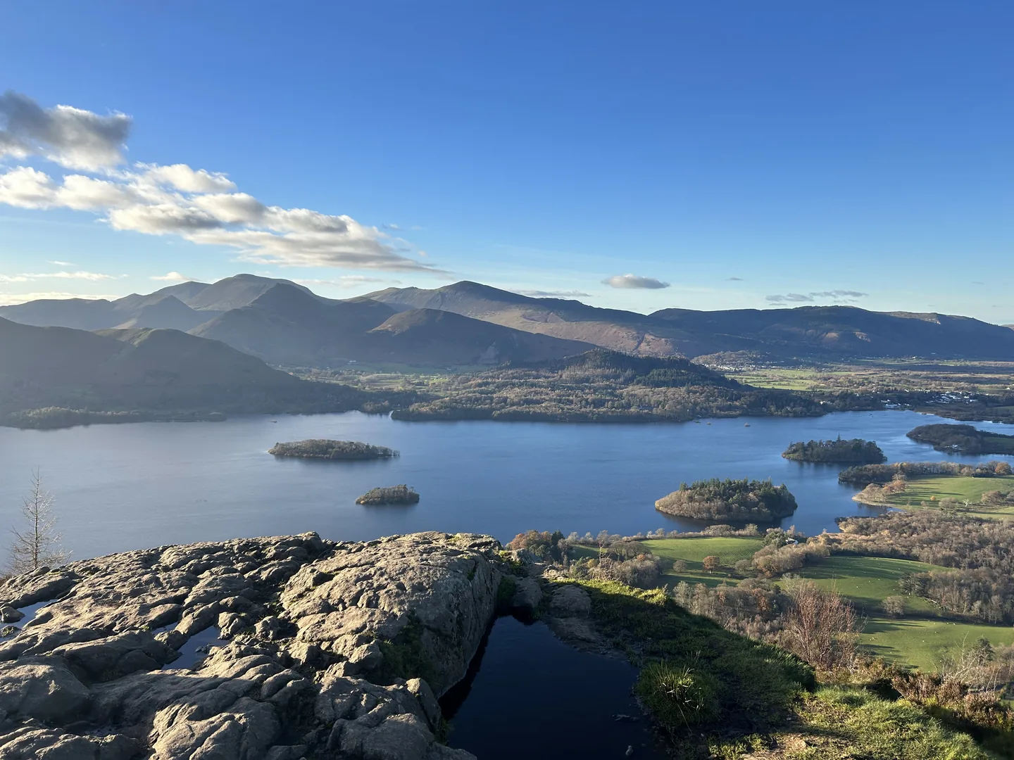
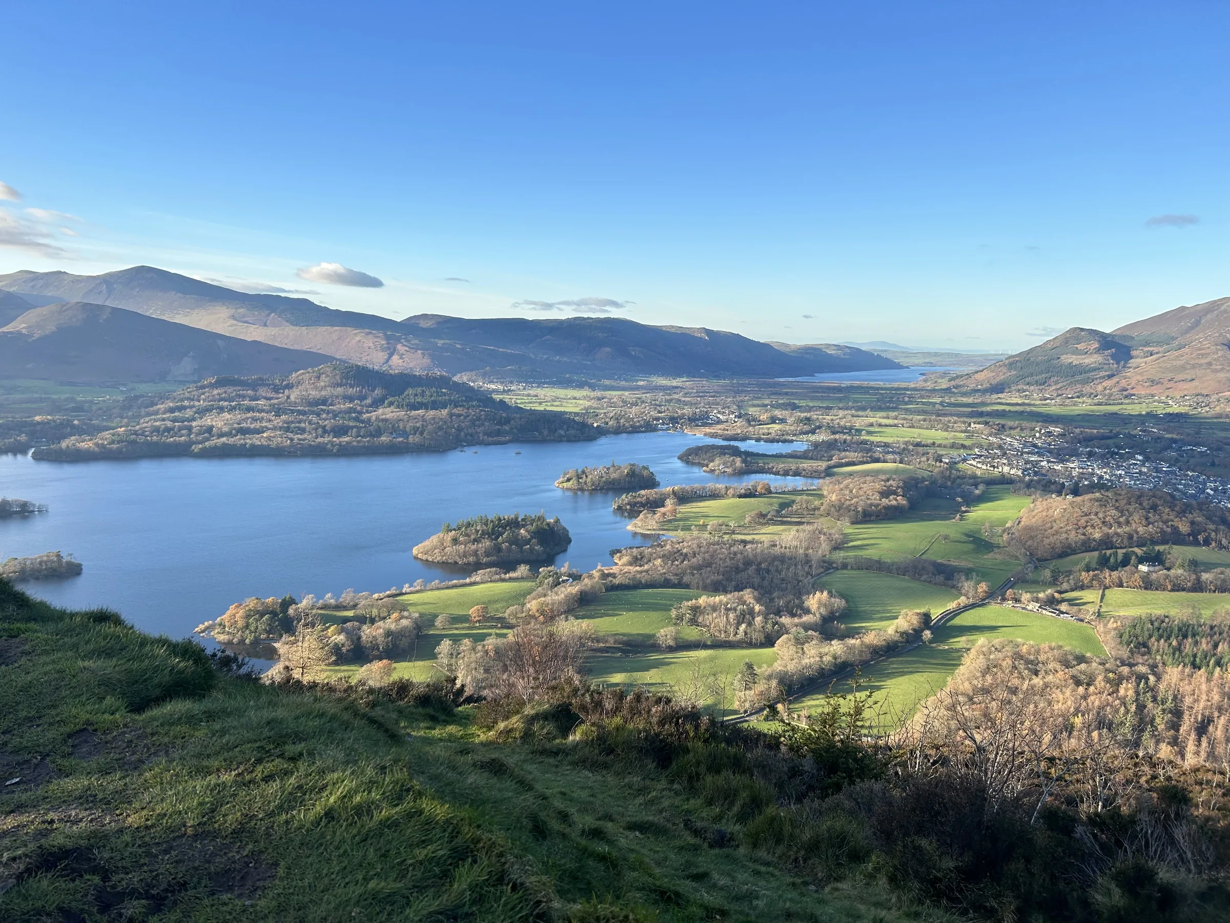
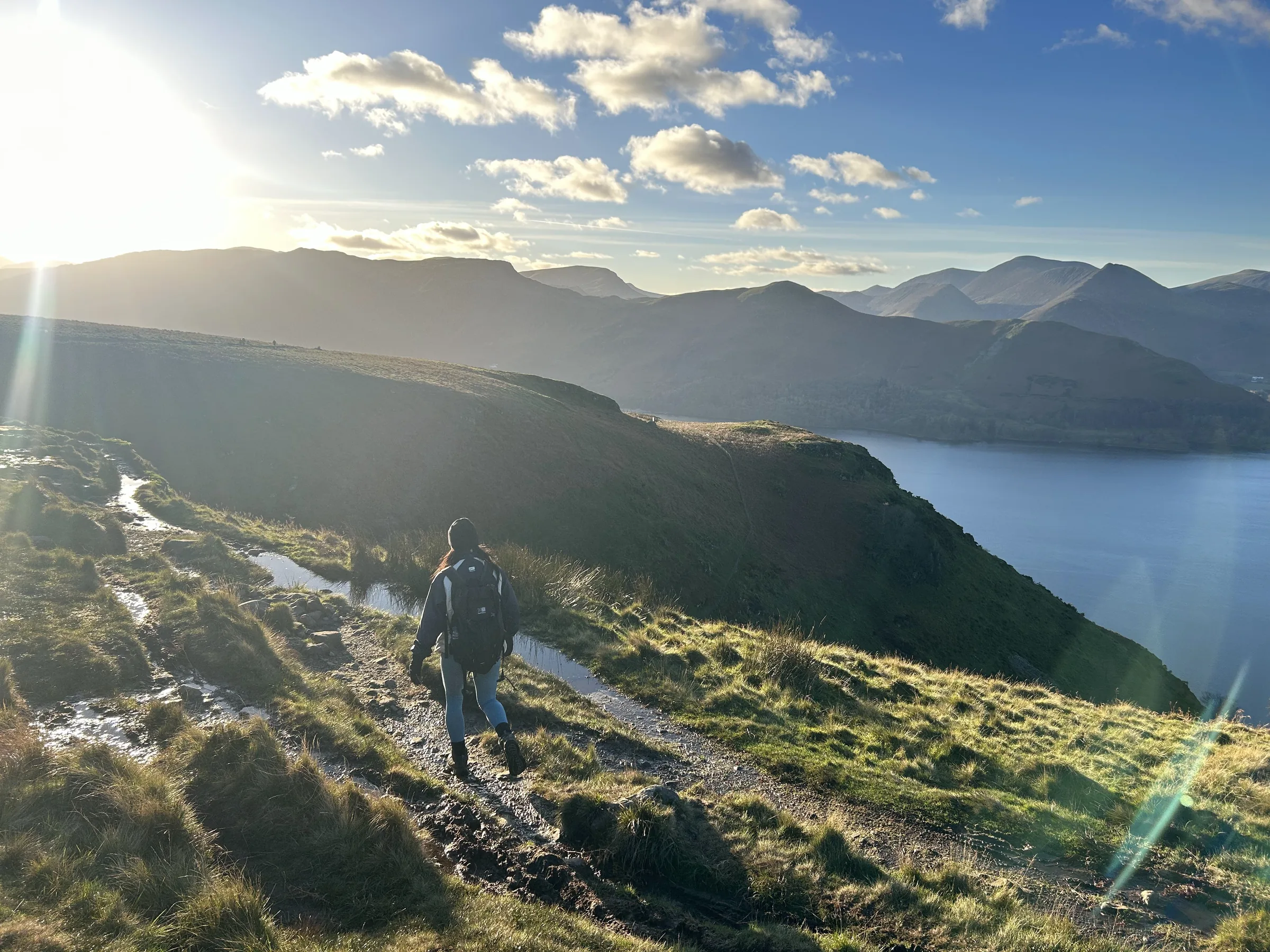
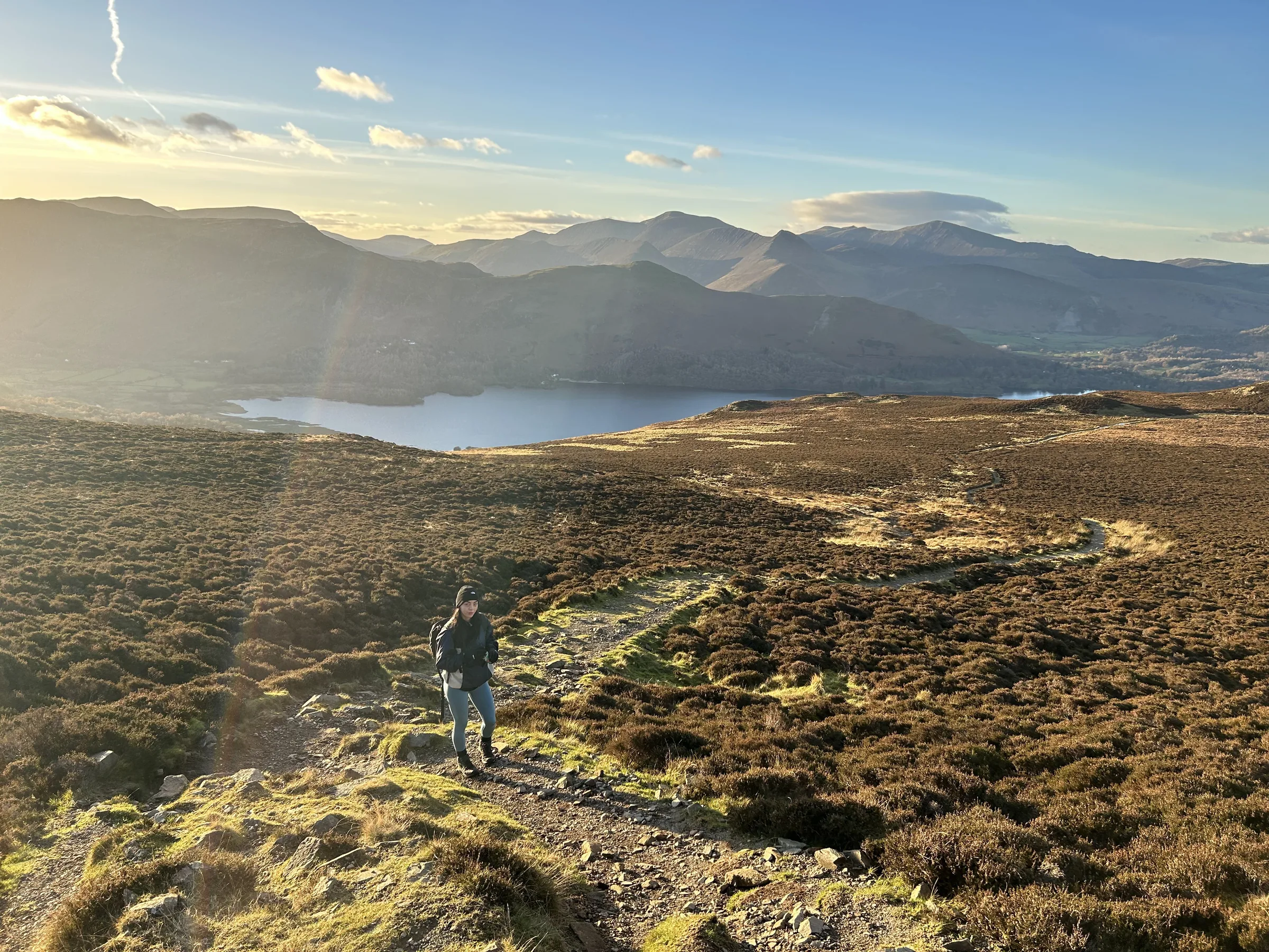
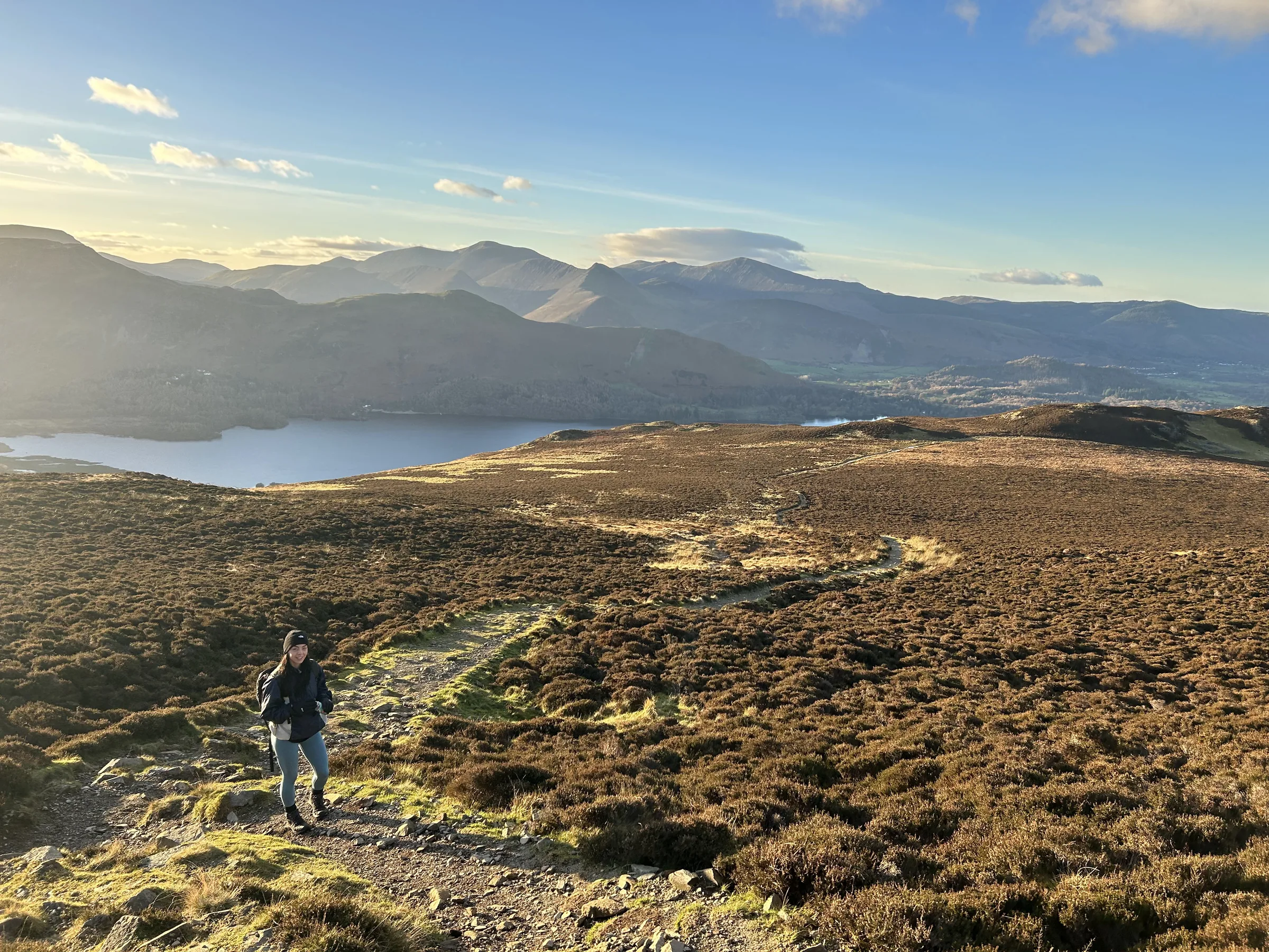
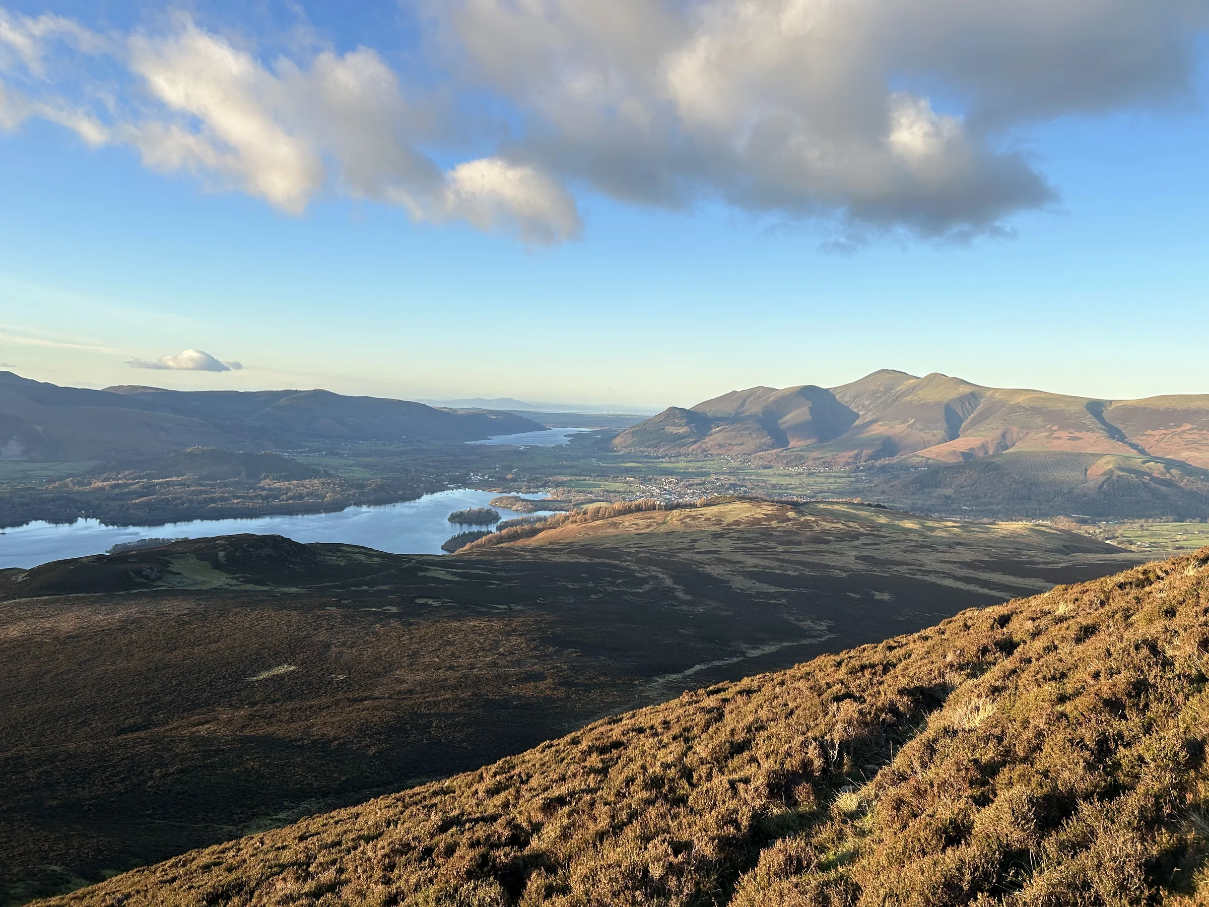
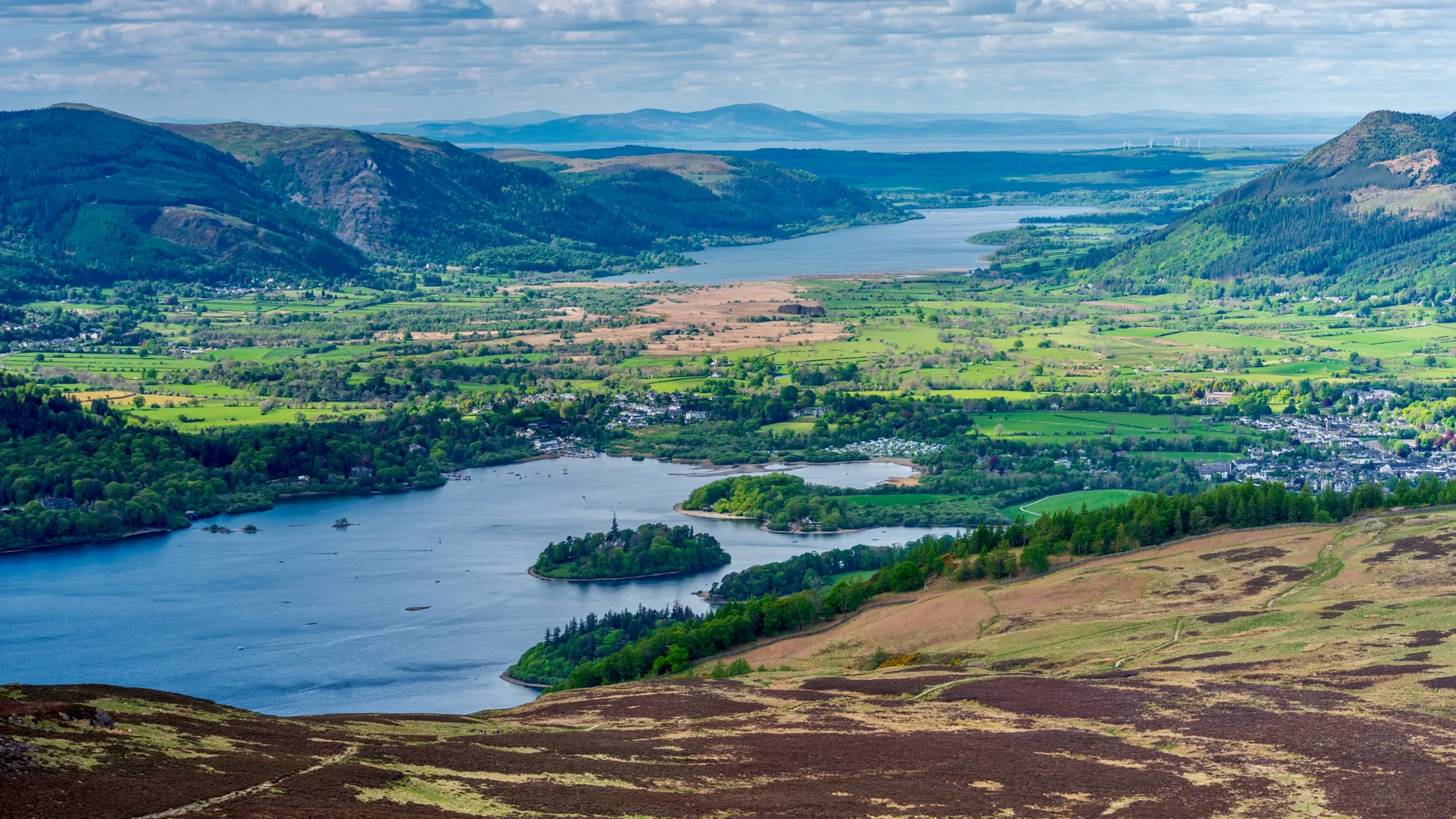
Nothing stands higher than High Seat for about three miles in any direction, even though it is only 609m high. That's because the middle of the Lake District sits lower than the fells around its edges, so from its trig point you see the whole Helvellyn range end to end and a long line of high fells from Crinkle Crags round to Blencathra. Before you get there, the walk takes in Walla Crag, a cliff edge looking out over the islands of Derwentwater and the Vale of Keswick, and Bleaberry Fell, with its dry, heathery top before the wet ridge.
The loop starts at Ashness Bridge on the narrow road up to Watendlath. A path climbs north along above Falcon Crag, round the head of Cat Gill and on below Brown Knotts to the top of Walla Crag. You come back south along the crag edge, then climb a steep, stepped path south-east past Brown Knotts to Bleaberry Fell. From there you follow the line of old fence posts south along the ridge to the summit of High Seat, cross peaty, boggy moorland north-west and drop beside Barrow Beck back to Ashness Bridge. This walk takes in three Wainwrights: Walla Crag, Bleaberry Fell and High Seat. Find all 214 on our Wainwrights map.
Go prepared, stay safe,
and enjoy the hike!
Key Info
Crowds
Moderate
This walk has a busy end and a quiet end. Walla Crag and Ashness Bridge draw plenty of visitors, but once you climb onto Bleaberry Fell and High Seat the people thin out fast. The tricky bit is the small car park at the start.
When it gets busy
- Walla Crag, a short and popular walk from Keswick
- Ashness Bridge, a famous viewpoint you can drive right up to, at its busiest in summer
- The small Ashness Bridge car park on fine weekends and in the holidays
For a quieter walk
- Expect peace on Bleaberry Fell and High Seat, which walkers report as quiet even on good days
- Get to Ashness Bridge early to find a space before day visitors arrive
- Do the walk outside summer, when the bridge and the beck are far less crowded
- Go midweek or late in the day to have Walla Crag's edge more to yourself (general advice)
- Catch the 78 Borrowdale bus from Keswick and walk up from the lakeside road, rather than relying on the small car park
Our crowd rating is for a typical sunny weekend in spring or summer, in the middle of the day. Timing makes a big difference, so even a busy walk can be quiet early, late or midweek.
The Route
Disclaimer: Route information and GPX files are provided for general guidance only. Conditions can change, so always use your own judgement and navigate responsibly. See our Terms of Use & Disclaimer for more information.
Route Guide
- 1
Up to Walla Crag1.4 mi · 190m up · 20m downFrom the car park, walk a short way along the road, then take the path north that climbs steadily along above Falcon Crag, round the top of the wooded gully of Cat Gill and on below Brown Knotts. Keep north to the summit cairn on Walla Crag, with Derwentwater and Keswick laid out below you.
- 2
Back Along the Crag0.8 mi · 95m up · 20m downHead back south along the top of the crag edge, down into a dip and on to the foot of the steep path below Brown Knotts.
- 3
The Steep Way Up0.6 mi · 150m upClimb the steep, stepped path south-east, gaining about 100m in a quarter of a mile as you pass below Brown Knotts, to the shelter cairn on Bleaberry Fell.
- 4
South Along the Ridge1.1 mi · 65m up · 60m downTurn south and follow the old fence posts along the ridge. It is boggy in places and the path fades now and then, and there is a stile to cross. After a gentle dip to about 545m you climb again to High Seat, a small rocky platform with a trig point. At 609m this is the highest point of the walk.
- 5
Back Across the Bog0.8 mi · 5m up · 100m downLeave High Seat heading north-west and pick your way down across the peaty, wet ground.
- 6
Off the Moor0.5 mi · 135m downThe ground firms up as you come down off the open moorland at around 500m. Keep heading north-west, downhill, towards Barrow Beck.
- 7
Down Beside Barrow Beck0.6 mi · 5m up · 185m downThis is the steepest part of the walk, dropping nearly 200m in the last half mile with Barrow Beck on your right. The path comes down past a stone building to the road, and the car park is a little way up the road.
Use the route on OS Maps, AllTrails or Komoot to navigate on the day; this guide is for planning.
Parking
The walk starts from the small National Trust car park at Ashness Bridge (CA12 5UN), on the road from the Borrowdale lakeside up to Watendlath. It has around 15 spaces and is very popular, so get there early. The road up from the lake is steep and narrow with passing places. National Trust members park free. Otherwise it's £7 for up to 2 hours, £8 for up to 4 hours or £9.50 for the day, and charges apply at all times, so for this walk of 3½ to 4½ hours get the all-day ticket. You can pay by phone here, but the signal in the valley is very limited, so set up the JustPark app before you go or bring change. There are no toilets. Check the latest prices here.
*Prices correct at time of writing; check before you travel.
Facilities & Hospitality
There are no toilets at Ashness Bridge or anywhere on the walk. The nearest are in the Lakeside car park in Keswick, by the boat landings, about 2 miles back along the road. They cost 50p and take card payment only.
Weather
Hike Videos
Note: Videos are made by other walkers, not The Lost Peak. They may not follow this exact route, and paths, conditions and facilities may have changed since filming.
Photo Gallery
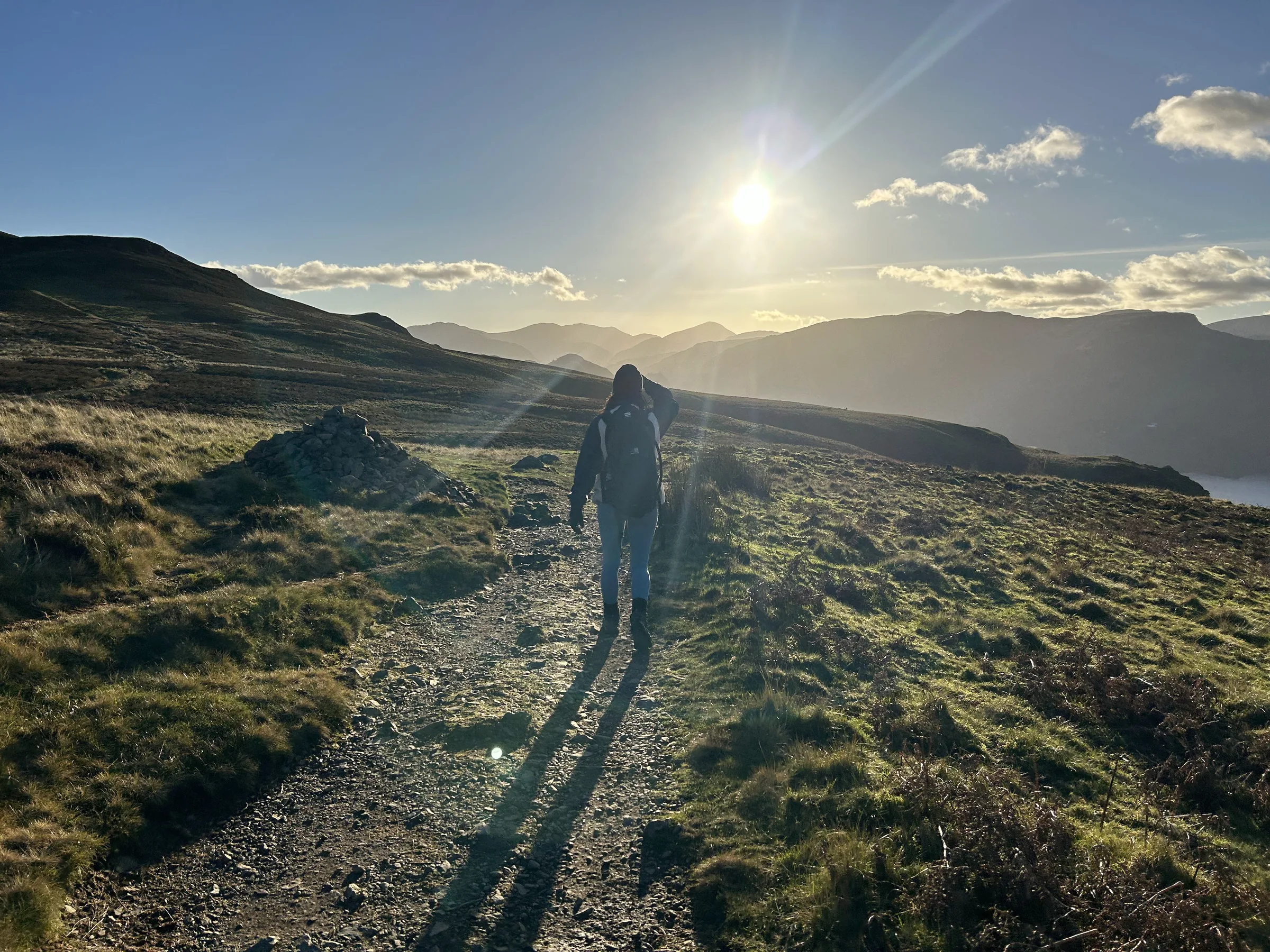
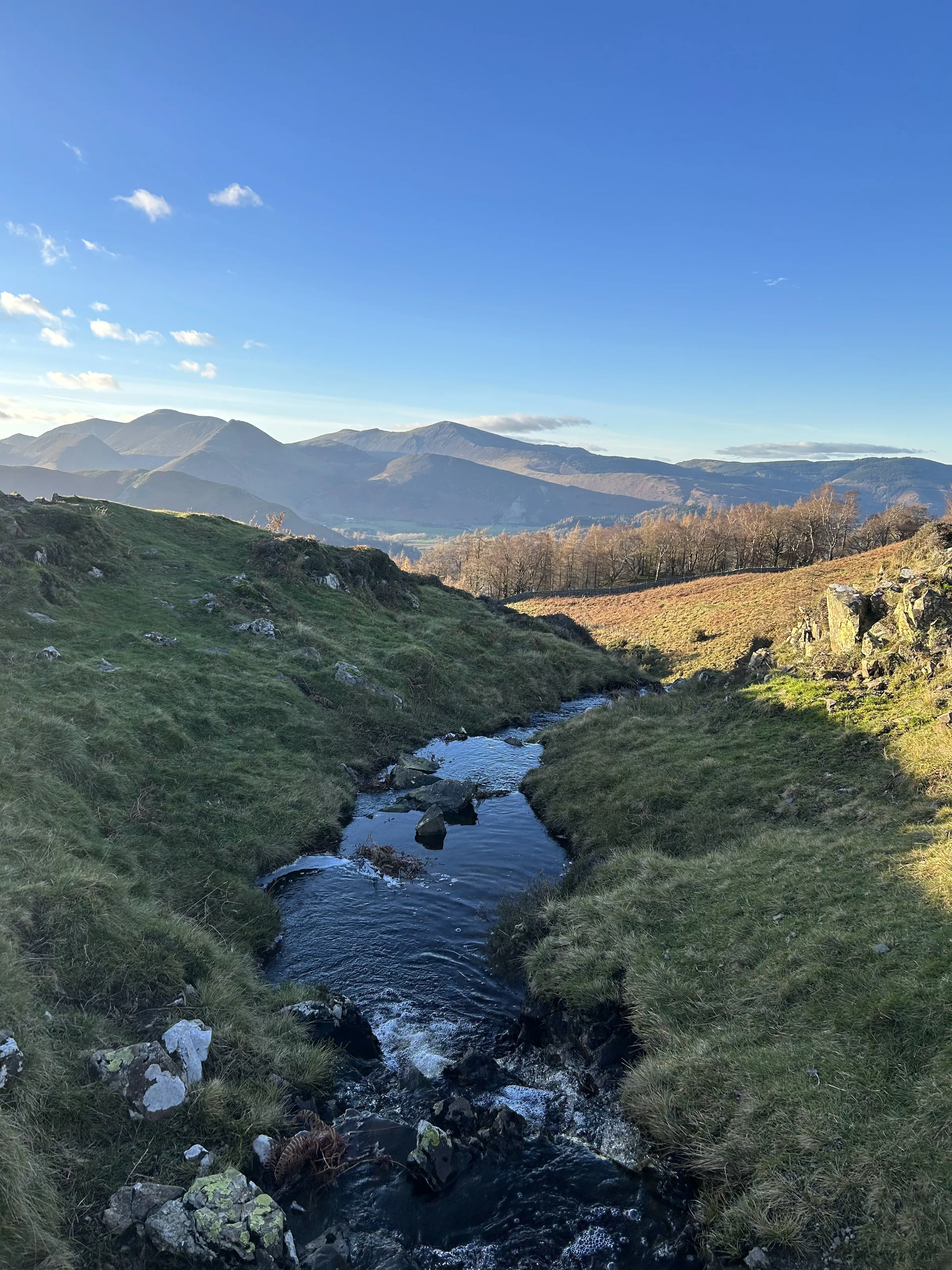
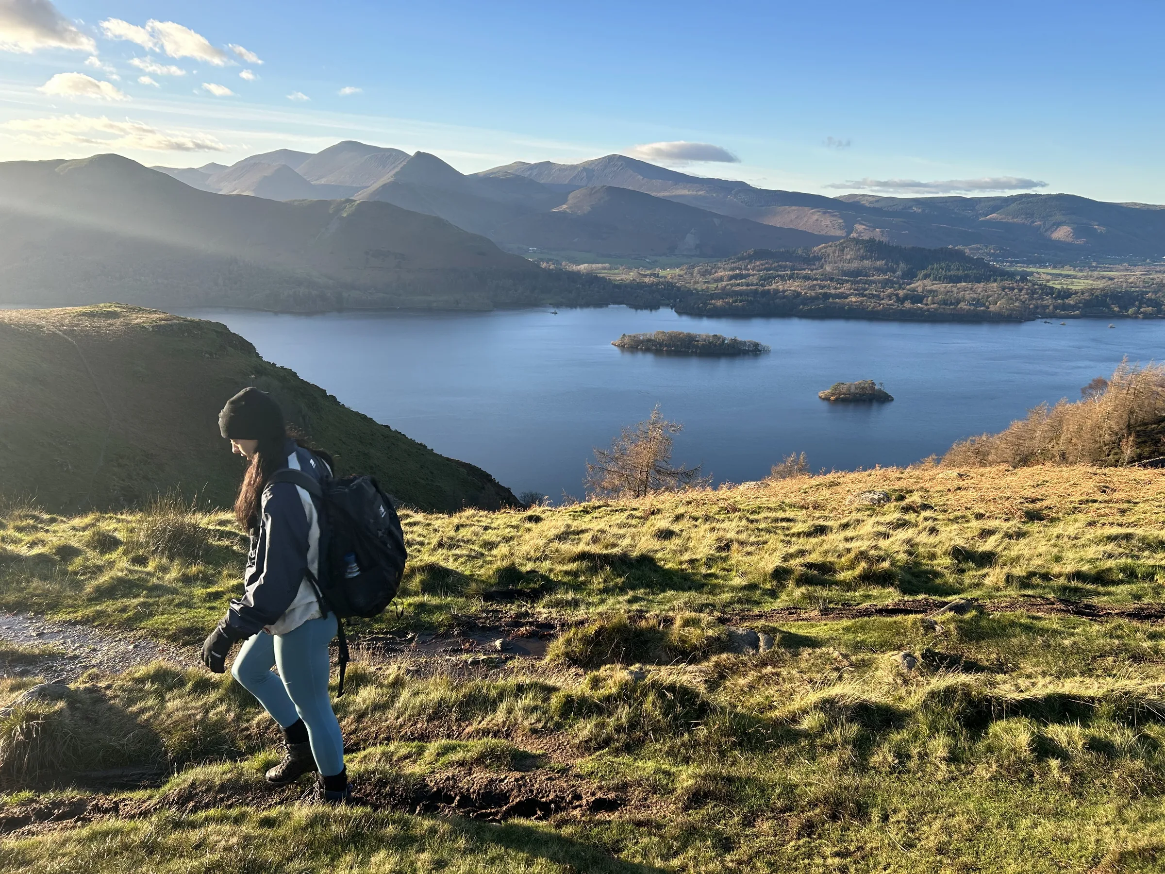
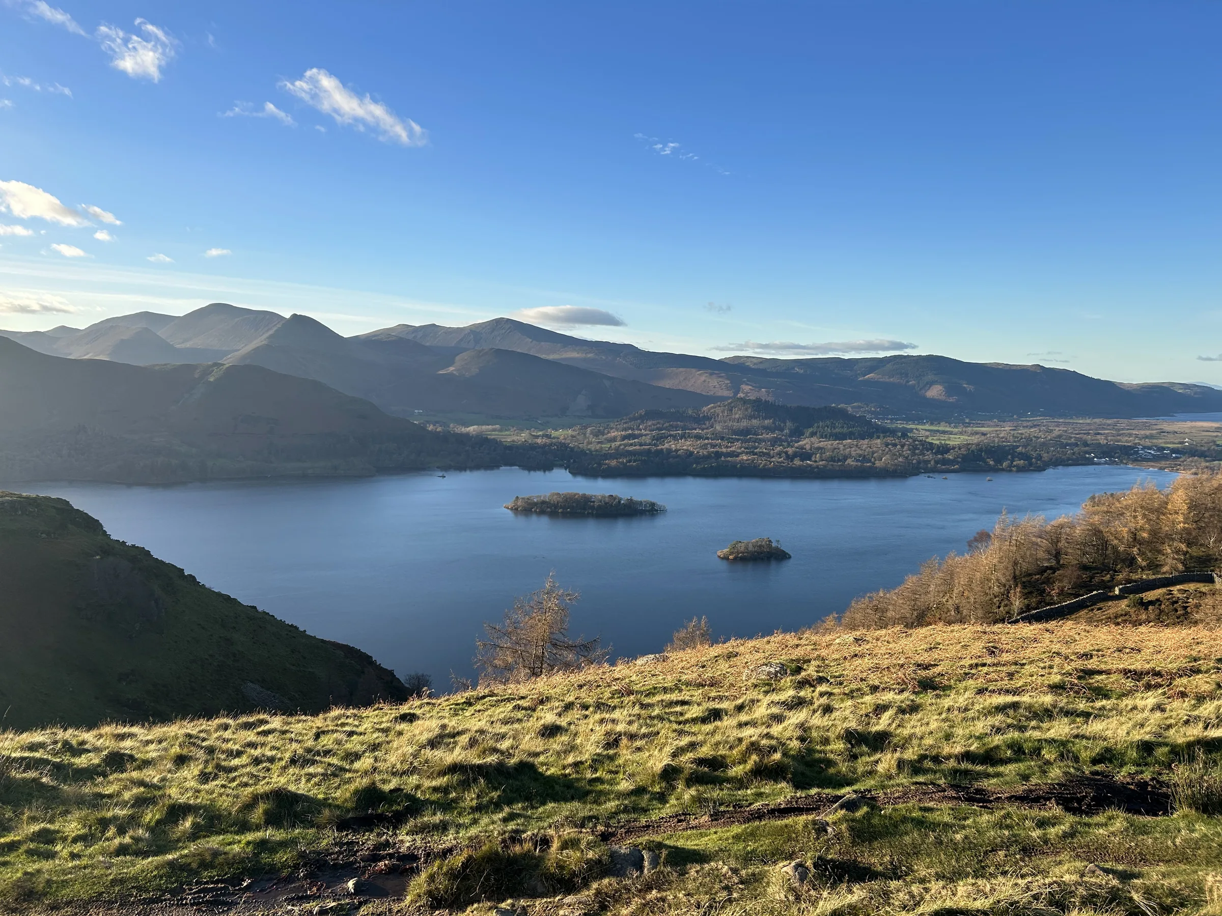
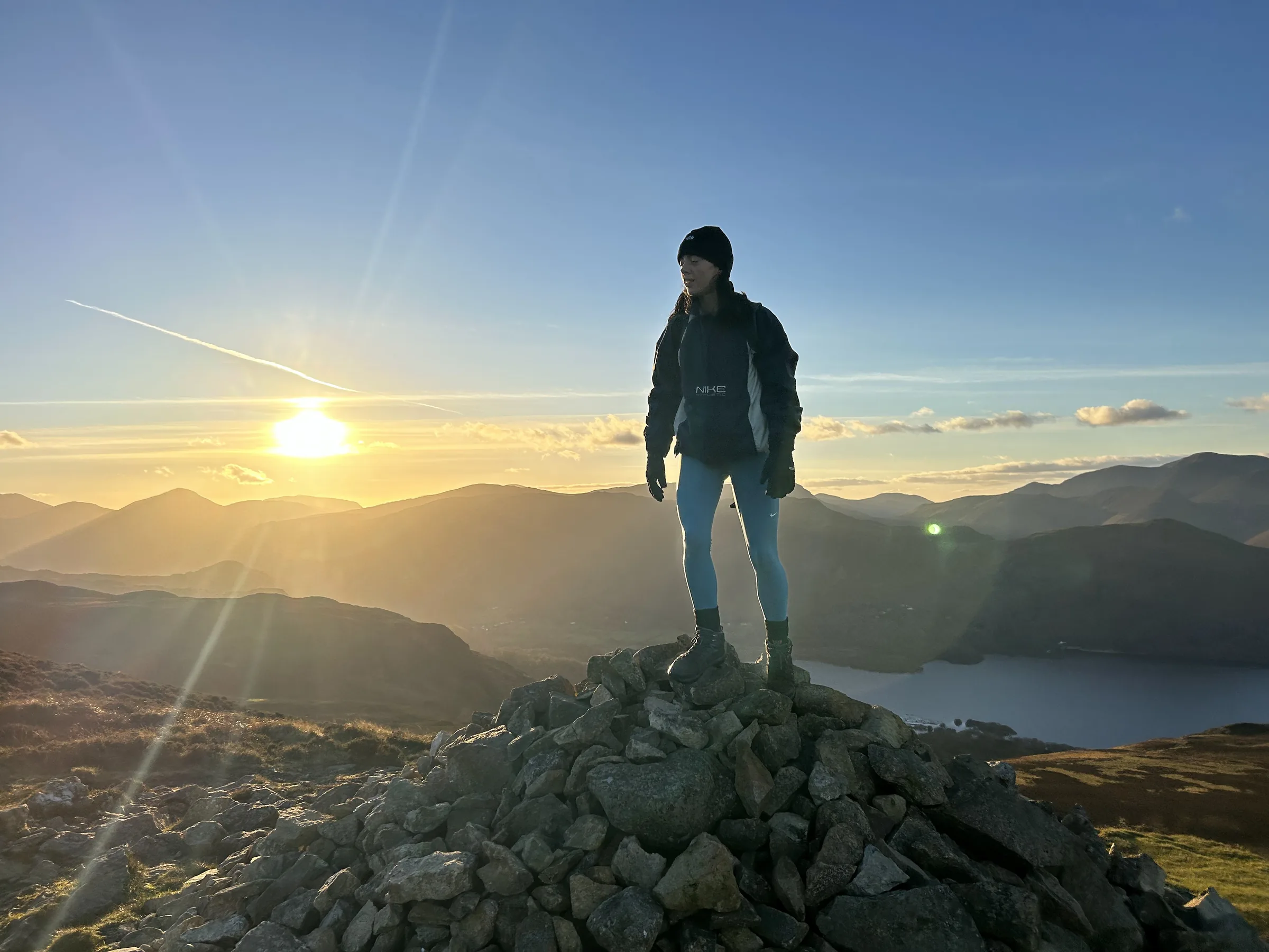
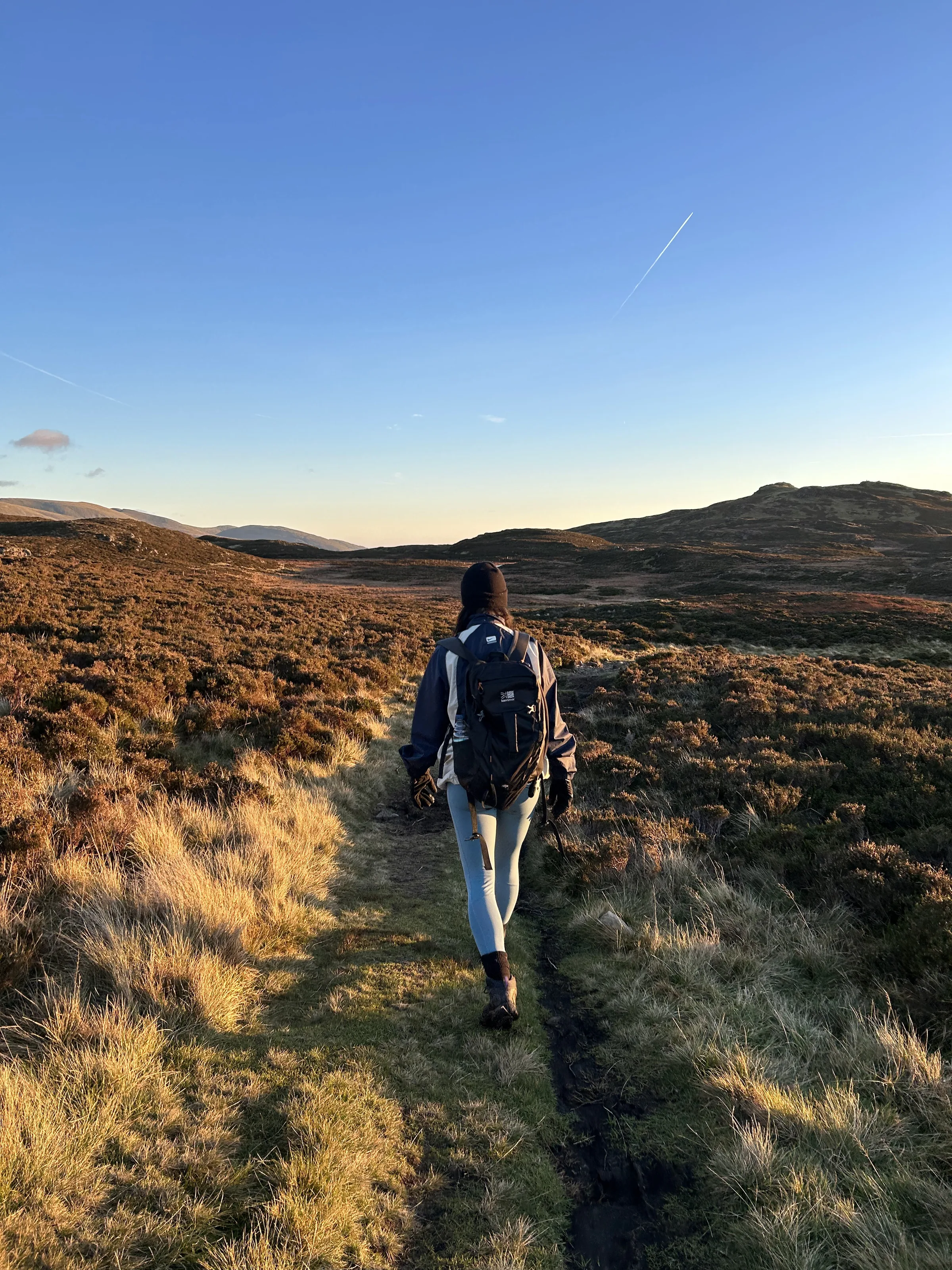
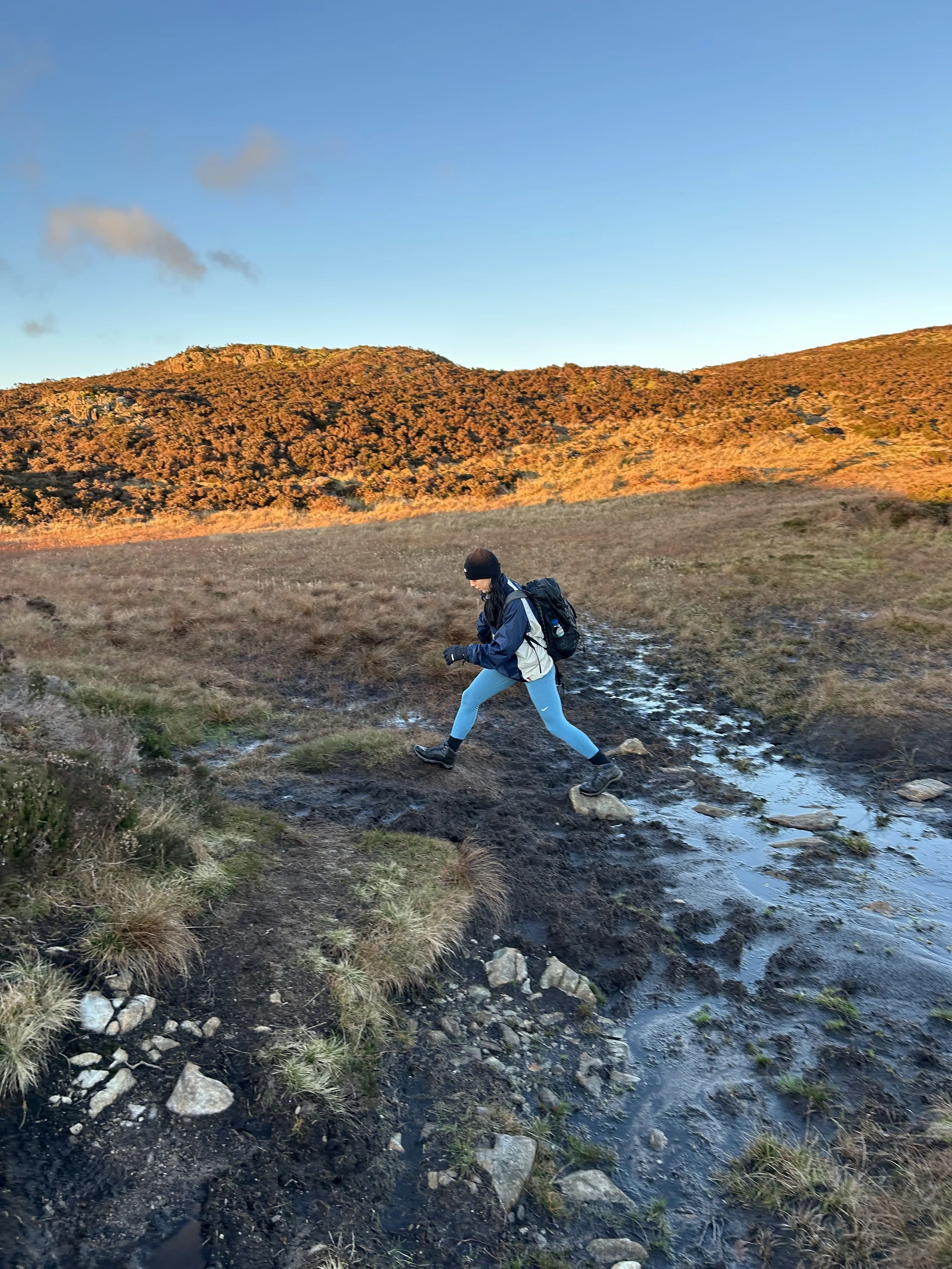
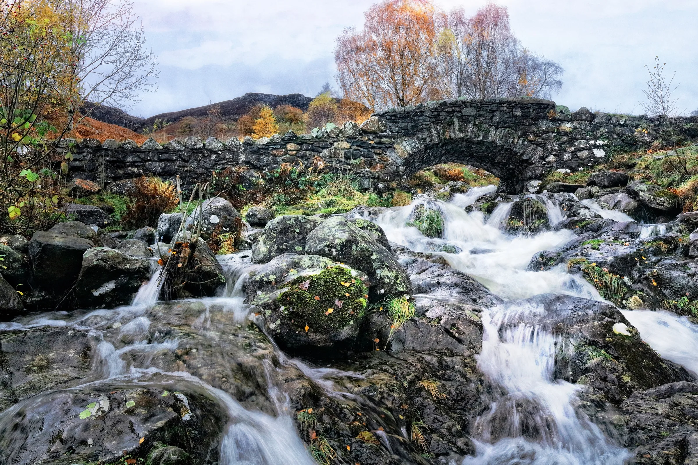
Photos
Photo credits
Photos without a credit are our own. These are used under Creative Commons licences; thank you to the photographers.
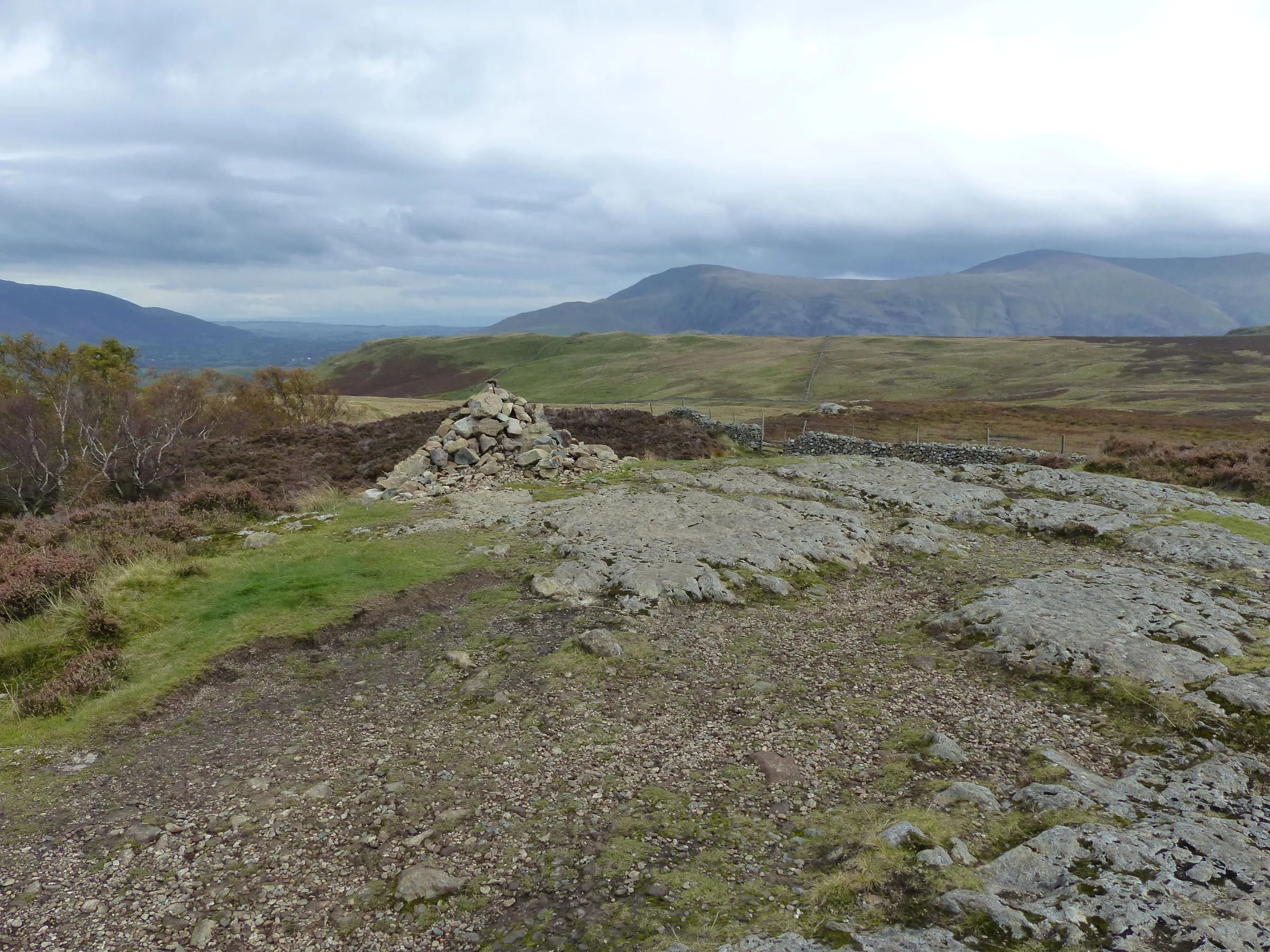
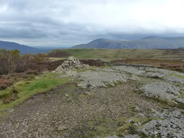 Walla Crag summit cairnby Anthony Foster, Wikimedia Commons (Geograph)Original photoCC BY-SA 2.0 licence
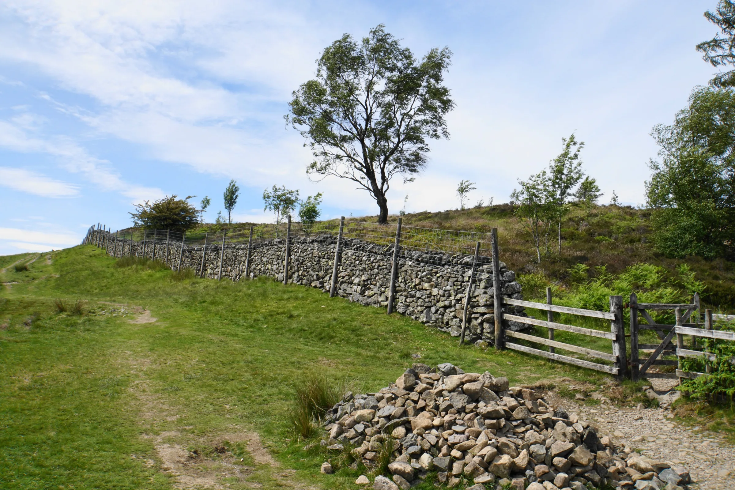
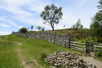 Near the top of Walla Cragby Bill Boaden, Wikimedia Commons (Geograph)Original photoCC BY-SA 2.0 licence
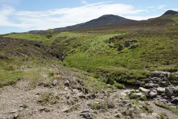
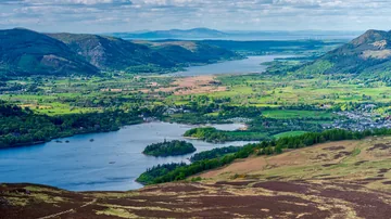 Derwentwater and Bassenthwaite Lake from Walla Cragby TXGemGem, Wikimedia CommonsOriginal photoCC BY-SA 4.0 licence
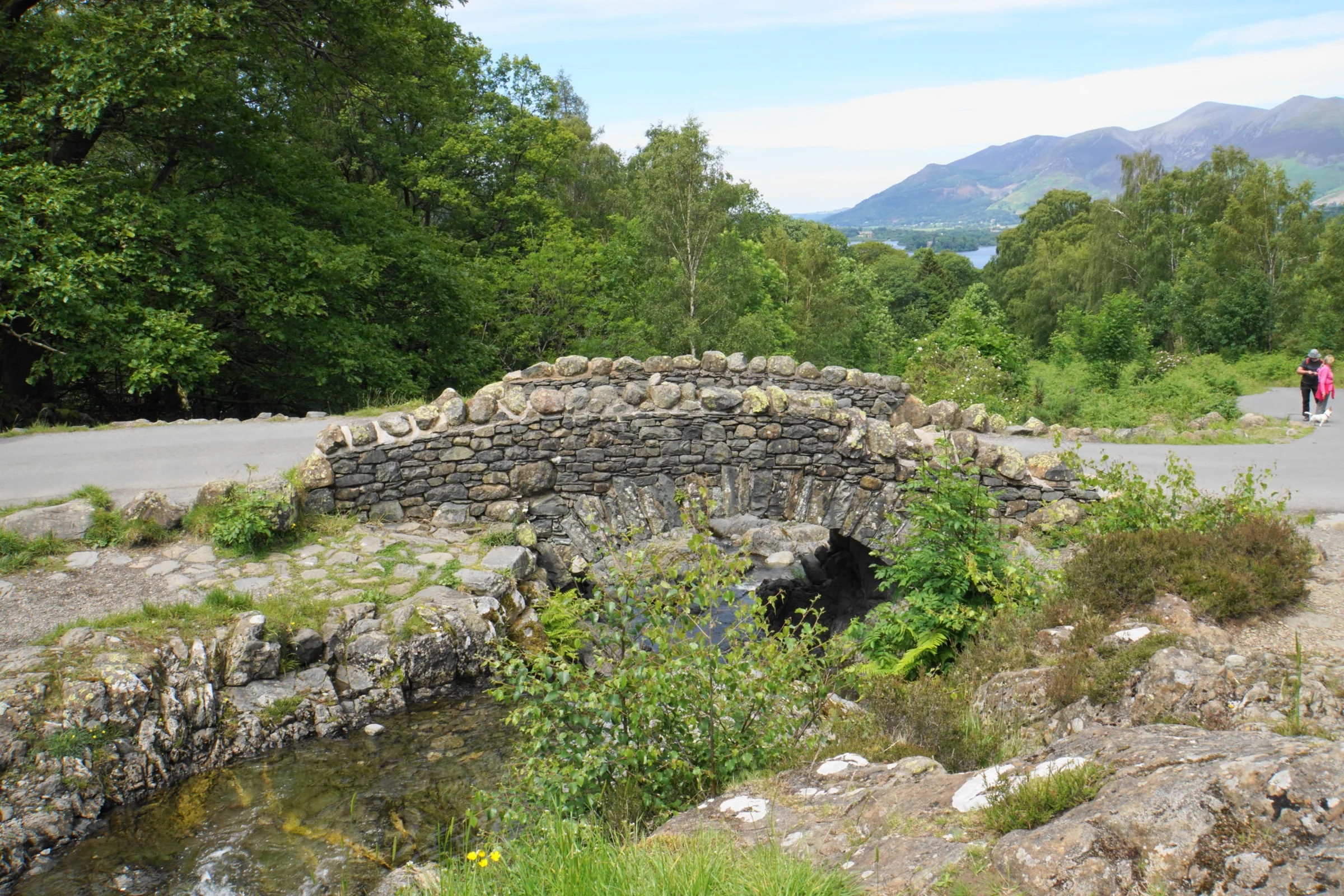
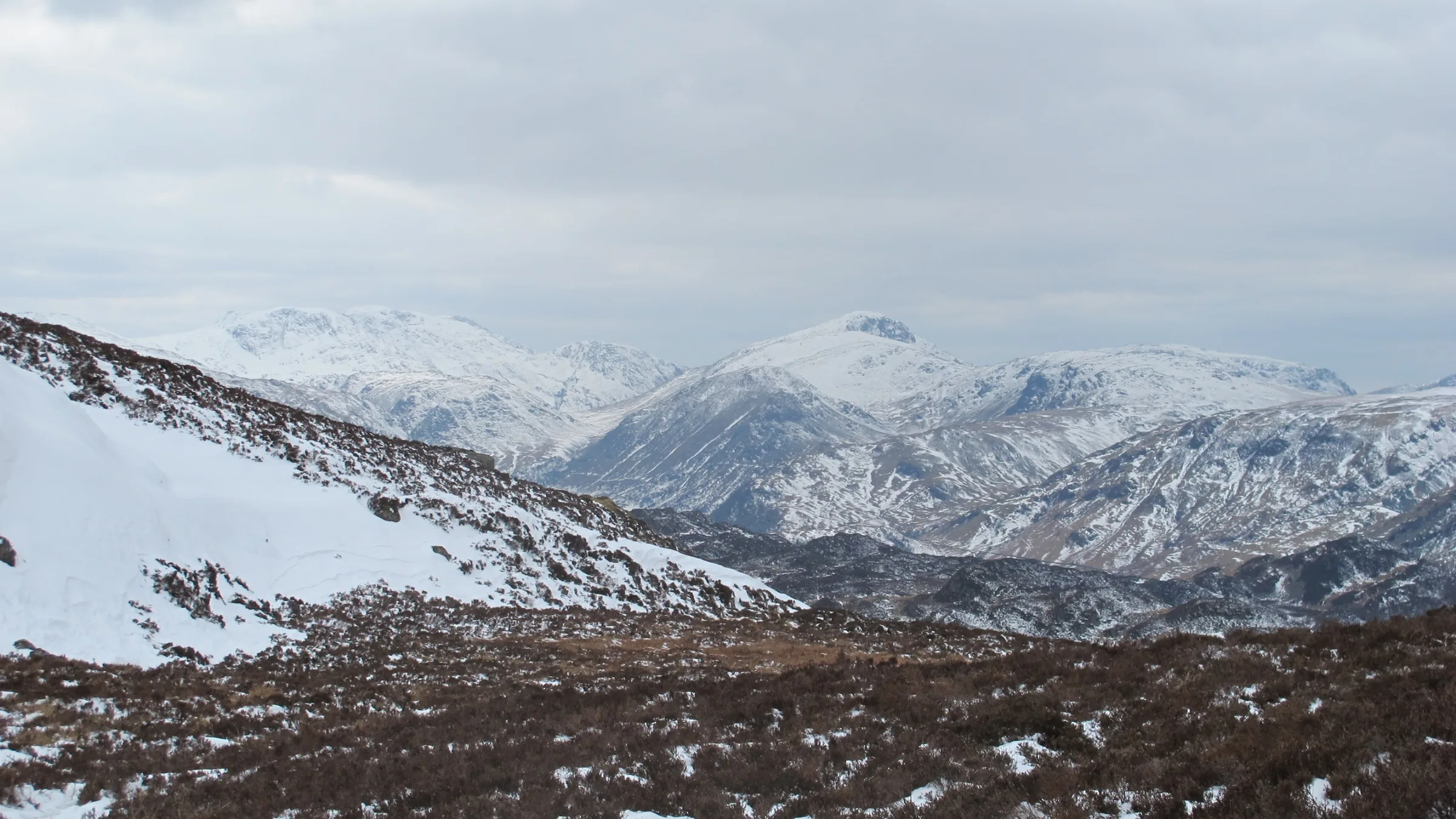
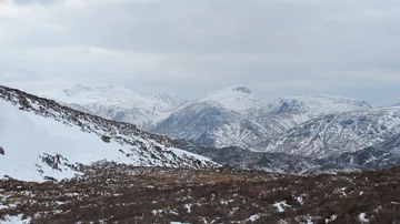 Snow on the fells from above Ashnessby Mike Hudson, Wikimedia CommonsOriginal photoCC BY-SA 3.0 licence
Hints & Tips
Boggy Between the Tops
The ridge between High Seat and Bleaberry Fell is very wet, and the moor on the way down from High Seat is peaty too. Wear proper waterproof boots, and if the cloud comes down, keep the old fence posts in sight: they run all the way along the ridge and are the easiest way to stay on line.
That Isn't Walla Crag
On the climb from Ashness Bridge, the rocky top you pass below is Brown Knotts, not Walla Crag. It is often mistaken for Walla Crag, so don't stop here: keep heading north to reach the real summit above the lake.
Stay Back From the Edge
The summit cairn on Walla Crag sits a little back from the brink, but the path out to it runs along the top of the cliff edge, with a long drop into the woods above Derwentwater. Keep dogs on a lead and children close, especially in wind or when the grass is wet.
The Famous Bridge View
Ashness Bridge is one of the best-known views in the Lake District, with the old stone bridge in front and Skiddaw across Borrowdale behind. It is only a minute from the car park, so walk over for the photo at the start or the finish.
Interesting Facts
General
Highest for Miles
High Seat is under 2,000 feet high, but it is still the highest point for about three miles in any direction, because the centre of the Lake District is lower than the fells around it
A Beck With Two Names
Ashness Gill flows down off High Seat, but by the time it reaches Ashness Bridge it has become Barrow Beck, the stream you come down beside at the end
Easy to Remember
Older fellwalkers knew Walla Crag as an easy 1,234 feet, until the Ordnance Survey measured it again at 1,243 feet, or 379m
A Wood Full of Lichens
The cliff of Walla Crag is part of Great Wood, a Site of Special Scientific Interest that is internationally important for its lichens, mosses and liverworts, and part of the site is in the Borrowdale Rainforest National Nature Reserve
Lord Derwentwater's Lights

From the top of Walla Crag you look down on the islands at the north end of Derwentwater. One of them is Lord's Island, named after the Earls of Derwentwater, the Radclyffe family, who had a fine house there from about 1450, with a drawbridge across to the shore. The family moved away around 1623 and the house fell into ruin. Its stone is thought to have been carted into Keswick to rebuild the Moot Hall in 1695.
The last Earl, James Radclyffe, was born in 1689. His mother was a daughter of King Charles II, and he grew up at the exiled Stuart court in France as a companion to James Francis Edward Stuart, the Stuart claimant to the throne. He first came to see his Cumberland estates in 1710. In October 1715 he joined the Jacobite rising with a small band of gentlemen and servants, but the rebels were beaten at Preston and he was taken to the Tower of London.
He pleaded guilty and was sentenced to death. His wife, the Countess, went into the king's bedchamber and begged George I in French to spare him, but the government wanted to make an example of him. He was beheaded on Tower Hill on 24 February 1716, aged just 26. The Northern Lights were said to be unusually bright that day, and they became known as Lord Derwentwater's Lights. His estates were confiscated, and in 1748 they were given to Greenwich Hospital.
Lost on the Ridge
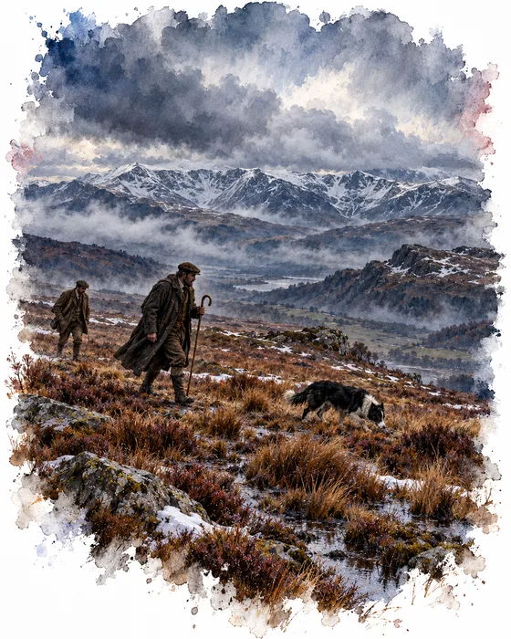
On the ridge between High Seat and Bleaberry Fell is a spot with the odd name of Threefooted Brandreth. A brandreth was a three-legged stand set in an oven to hold a griddle when baking cakes. Just below it, on the eastern side of the ridge and off our path, is a small memorial on a shallow saddle above Mere Gill.
On 9 March 1880 a man called John Litt was out on these fells following the Blencathra Foxhounds. According to the Keswick newspaper of the time, he was last seen resting on the bog with others, watching the hounds working in the valley below. He looked a little tired but didn't complain, and the hunters, caught up in the chase, never looked back. He did not come home that night.
Early the next morning a group of volunteers went out to look for him. One of them, David Powley, went straight to Mr Oliver, the shepherd on Castlerigg Fell, who was probably the last person to have been with Litt. The two men headed for the place where they had parted, taking a dog with them, and it found his body not fifteen yards from where they were making for. Wainwright later described the memorial as two upright stones, one carrying a round plate reading "In memory of J Litt who died March 9, 1880".
More Hikes
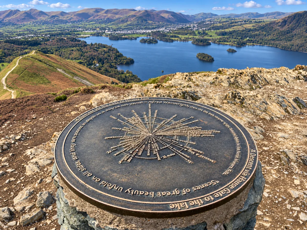 ModerateCatbells3.6 mi · 2–3 hrs · 404m
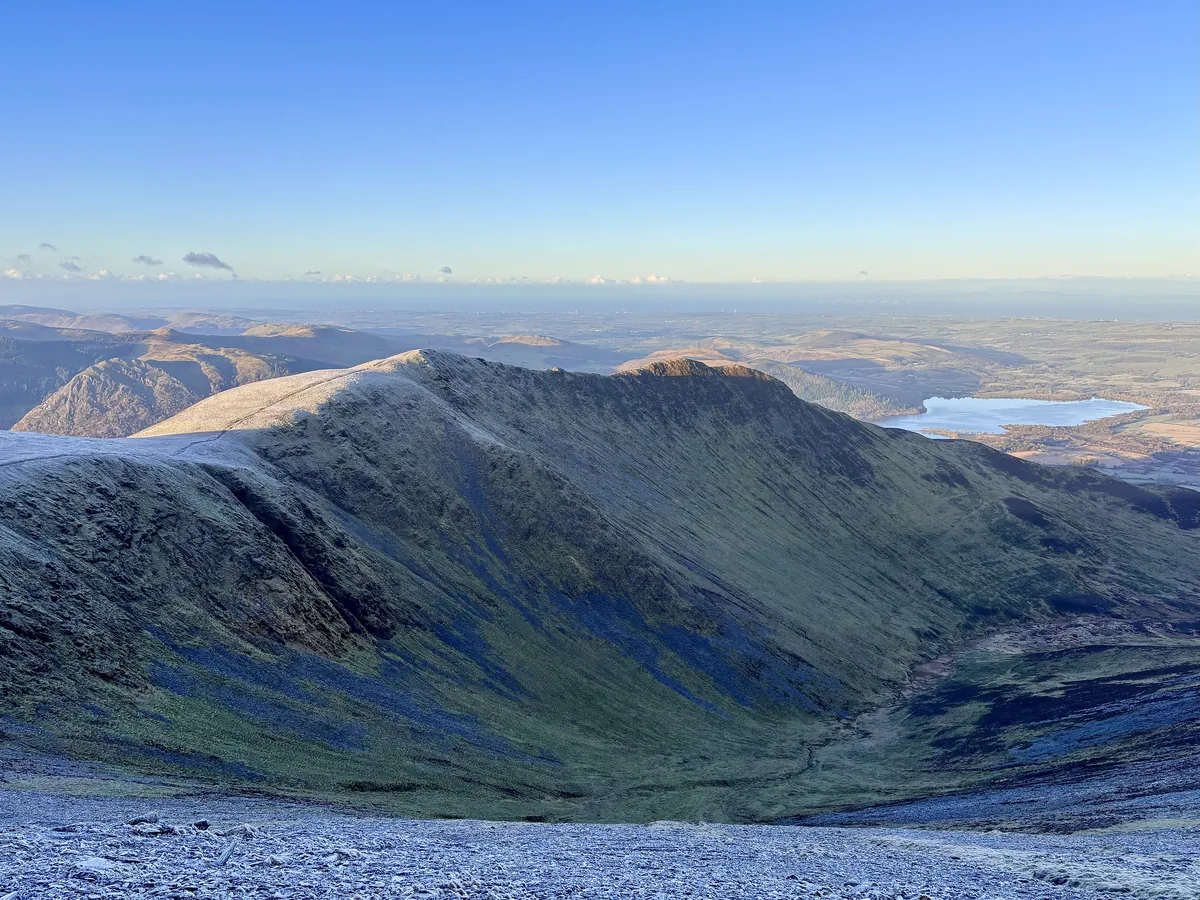 HardSkiddaw6.5 mi · 4–5 hrs · 870m
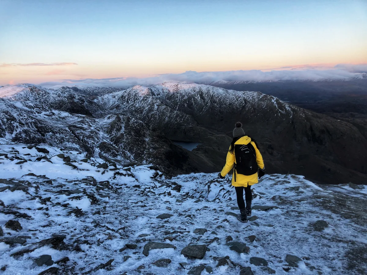 HardOld Man of Coniston4.9 mi · 3–4 hrs · 585m
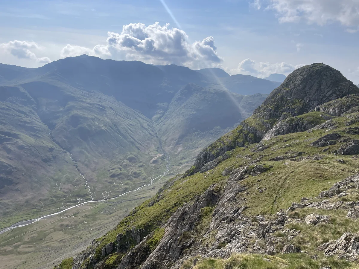 HardPike of Stickle4.1 mi · 3–4 hrs · 710m
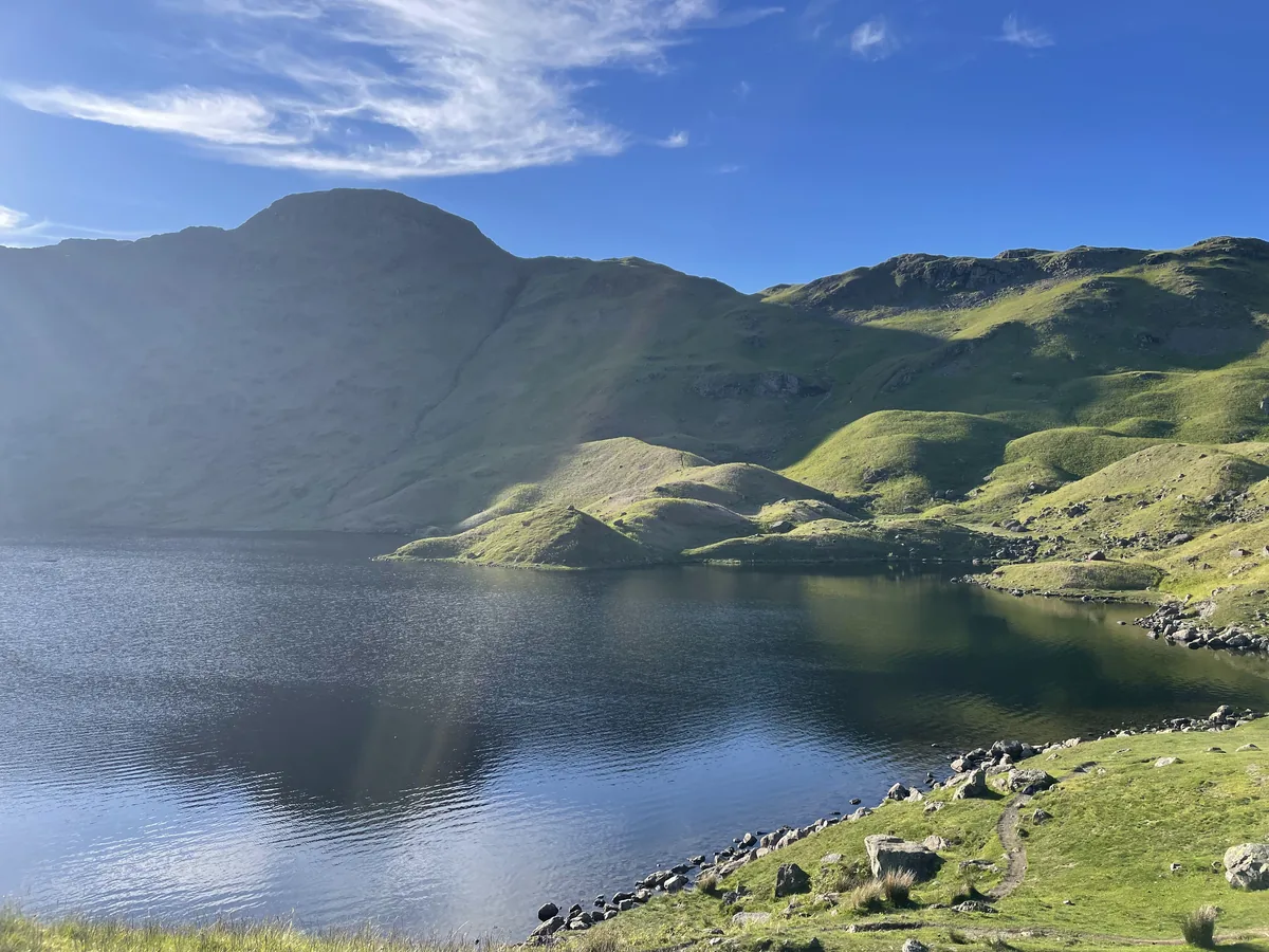 ModerateEasedale Tarn6.9 mi · 4–4½ hrs · 600m
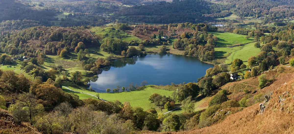 EasyLoughrigg Fell3.0 mi · 2–2½ hrs · 326m
Subscribe for updates on new hikes and National Parks
One email a month with new hikes and routes. No spam.