



Contents
Overview
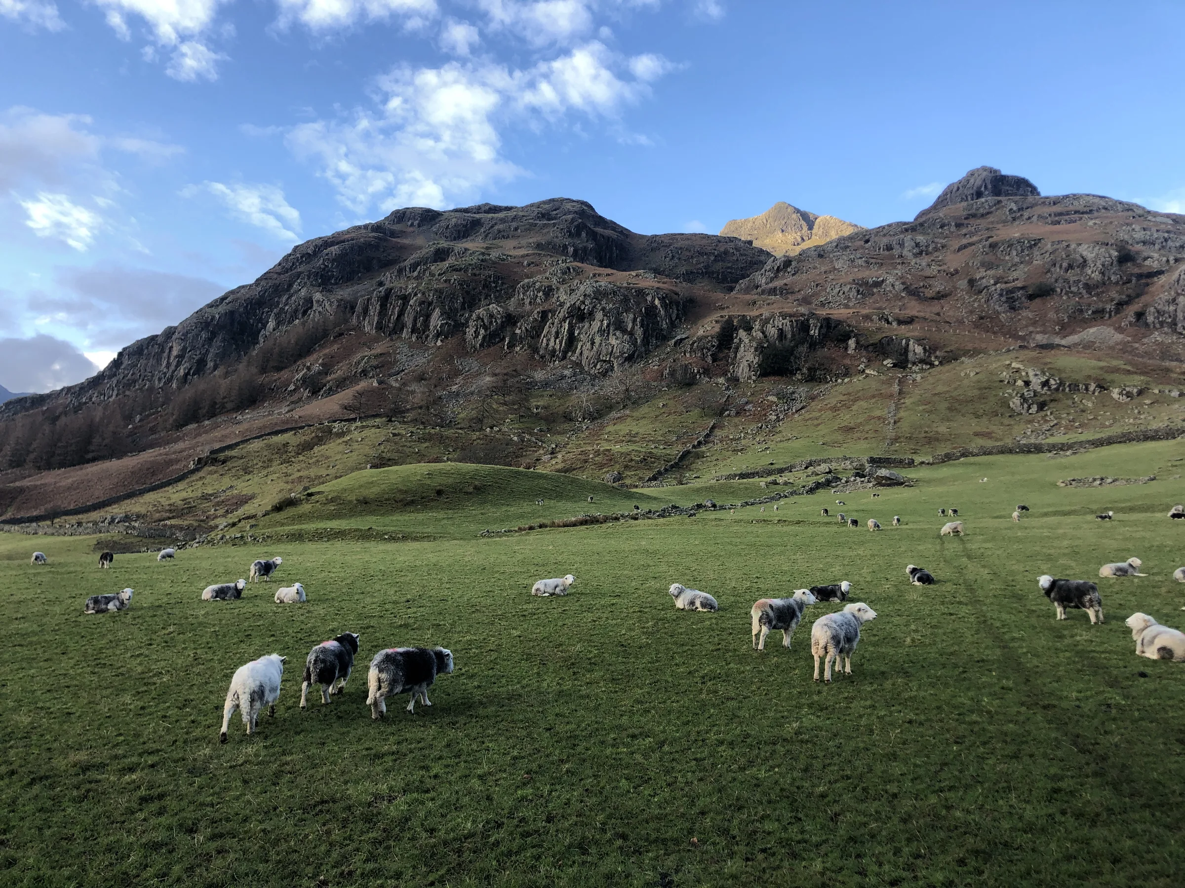
More than five thousand years ago, people climbed to the top of Pike of Stickle to make axes. The hard, green volcanic rock near its summit could be chipped into axe heads, and axes made from it have turned up all over Britain and Ireland. Today the Pike is one of the Langdale Pikes, the line of rocky tops that is one of the best-known sights in the Lake District.
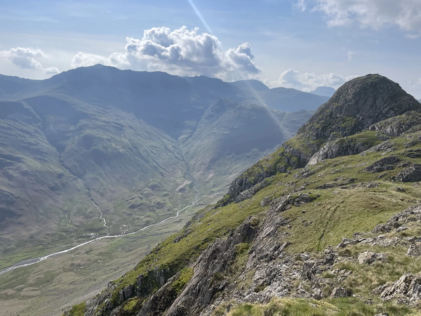
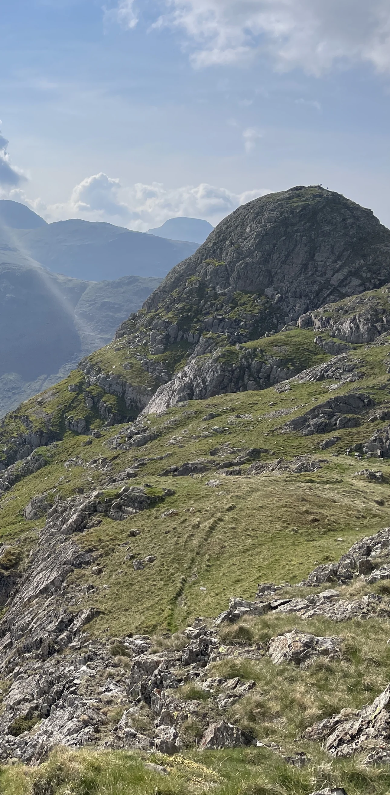
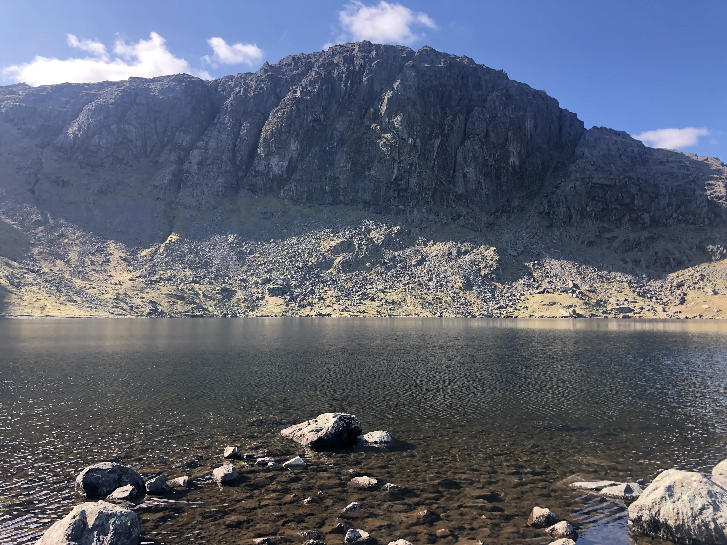
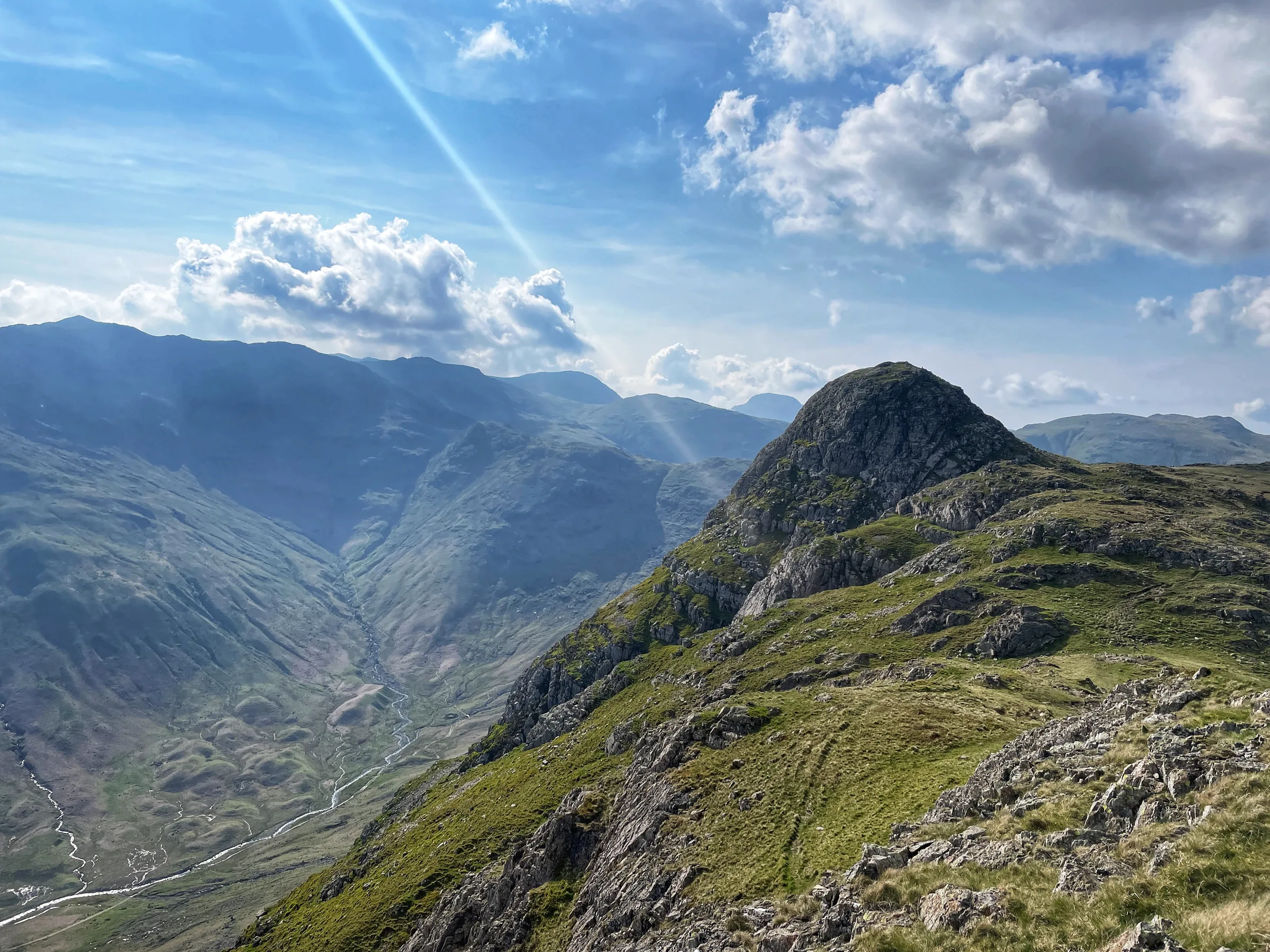
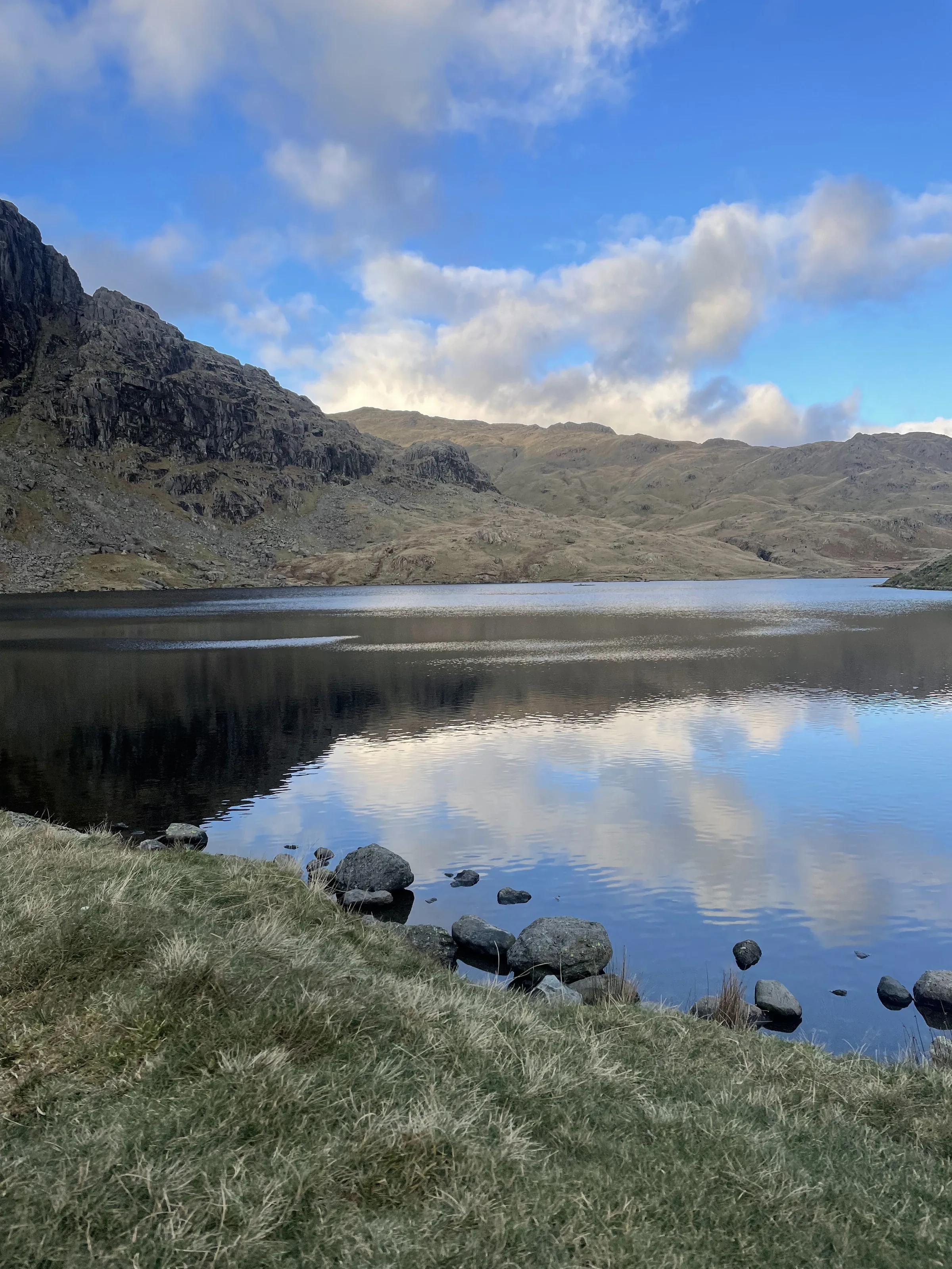
This loop climbs three of them. From the National Trust car park at the foot of the ghyll, a stone-pitched path follows Stickle Ghyll's waterfalls up to Stickle Tarn, cupped beneath the huge cliff of Pavey Ark. A steep path round the back of the crags takes you to Harrison Stickle, the highest of the Pikes, then across the head of Dungeon Ghyll to the rocky top of Pike of Stickle, with a short scramble to the summit and the whole of Mickleden below. You come back over Loft Crag and down the Mark Gate path, with the valley in front of you all the way to the car. This walk takes in three Wainwrights: Harrison Stickle, Pike of Stickle and Loft Crag. Find all 214 on our Wainwrights map.
Go prepared, stay safe,
and enjoy the hike!
Key Info
Crowds
High
The Langdale Pikes are hugely popular, and on hot bank holiday weekends the Stickle Ghyll path can be packed. The good news is that it empties out later in the day. Walkers report a much quieter Stickle Tarn by late afternoon, even on very busy days.
When it gets busy
- July and August, plus hot bank holiday weekends
- Mid-morning on the stepped path up Stickle Ghyll
- Stickle Tarn around late morning, packed on busy days
- The small summit of Harrison Stickle around lunchtime
- The valley car parks, which can be completely full by about 10AM on busy days
For a quieter walk
- Go later in the day: on a packed bank holiday, Stickle Tarn was much quieter by about 4.30PM
- Or arrive before 9AM in peak season to beat the crowds and get parked
- Visit in May, June, September or October rather than high summer
- Choose a weekday, when Langdale is far less busy
- Take the 516 bus from Ambleside to skip the parking scramble
- Head on to Pike of Stickle and Loft Crag, where you leave the Harrison Stickle crowds behind
Our crowd rating is for a typical sunny weekend in spring or summer, in the middle of the day. Timing makes a big difference, so even a busy walk can be quiet early, late or midweek.
The Route
Disclaimer: Route information and GPX files are provided for general guidance only. Conditions can change, so always use your own judgement and navigate responsibly. See our Terms of Use & Disclaimer for more information.
Route Guide
- 1
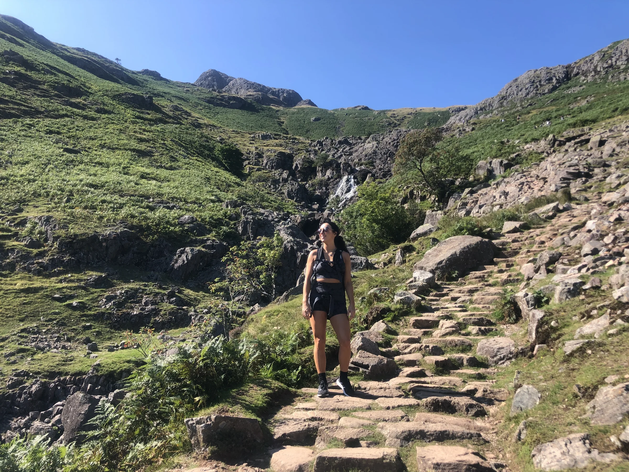
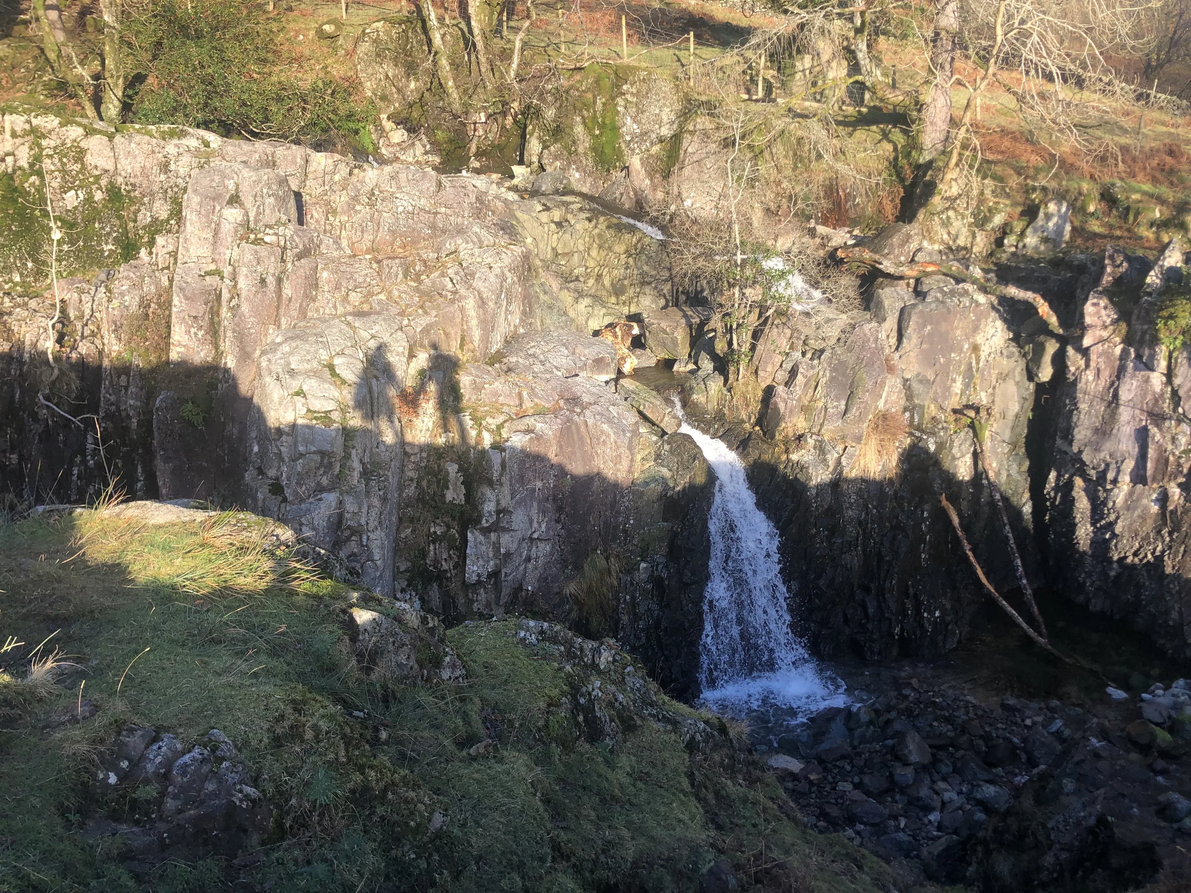
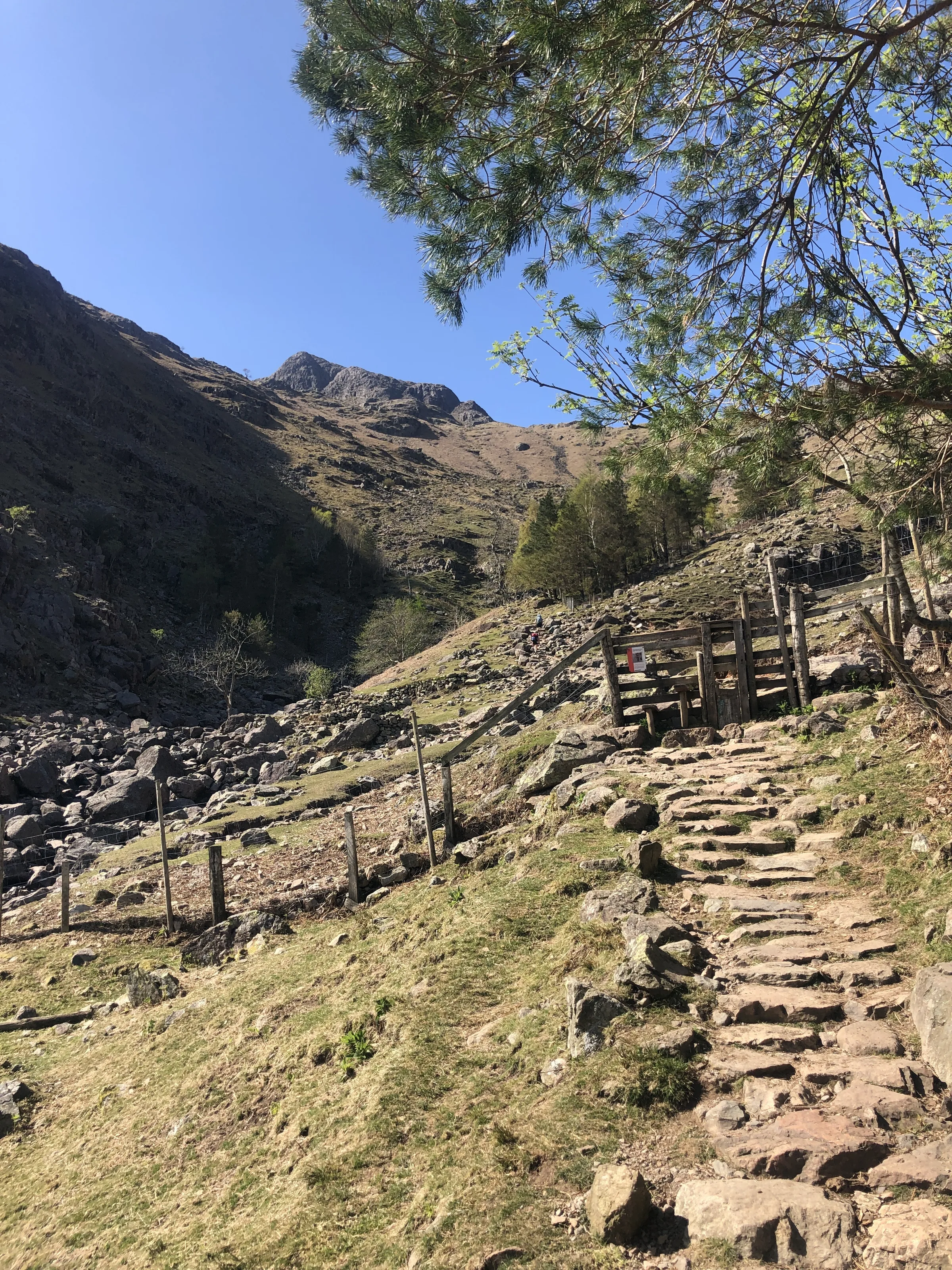
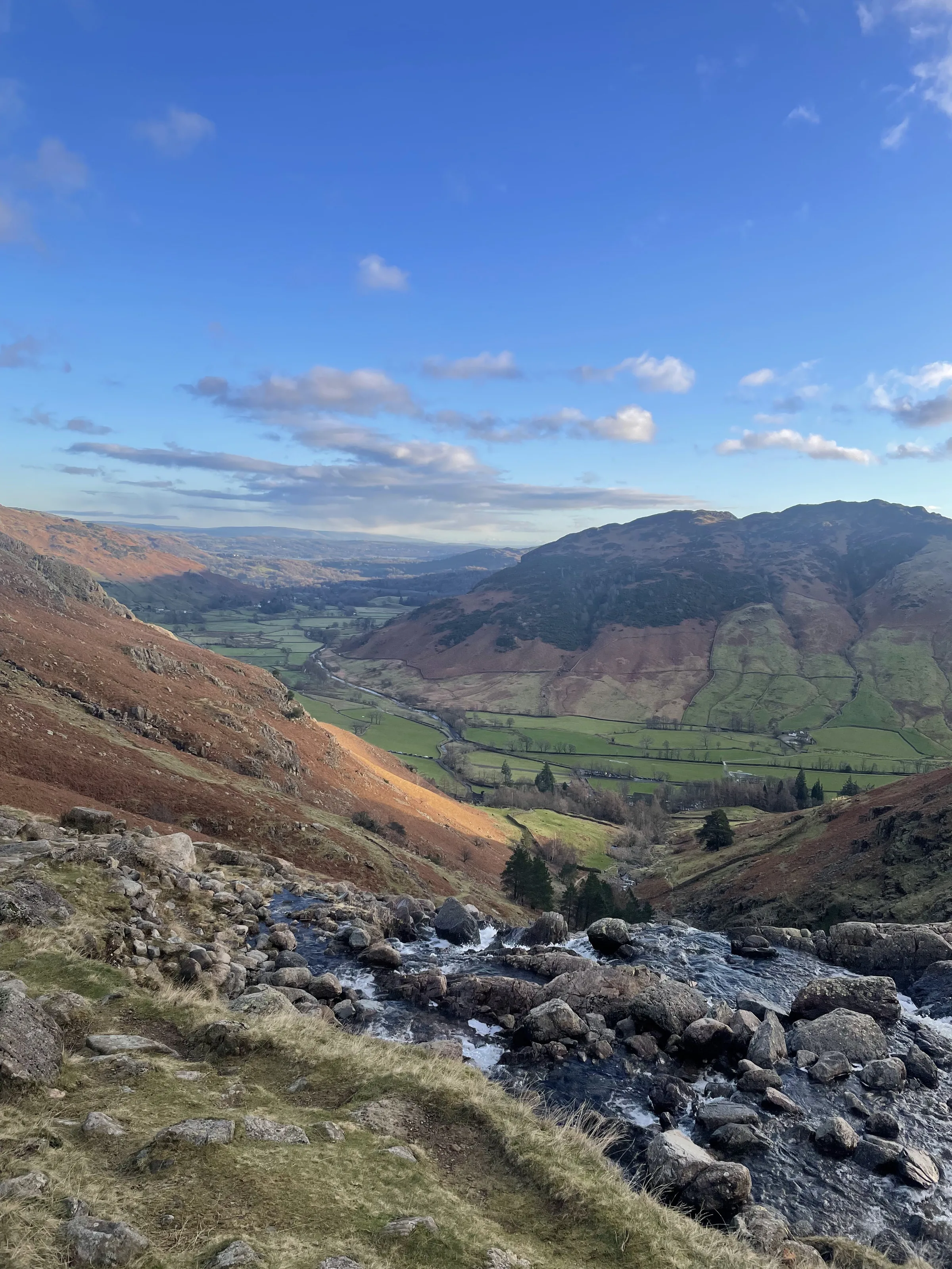
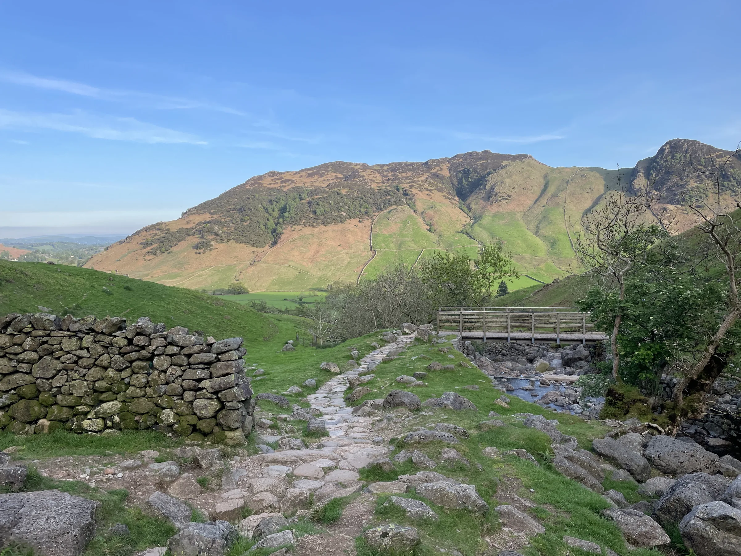
Up beside Stickle Ghyll1.0 mi · 380m upFrom the car park, take the stone-stepped path north up beside Stickle Ghyll and its waterfalls. It swaps from one bank to the other partway up, and brings you out at the dam at the foot of Stickle Tarn, under the great cliff of Pavey Ark.
- 2
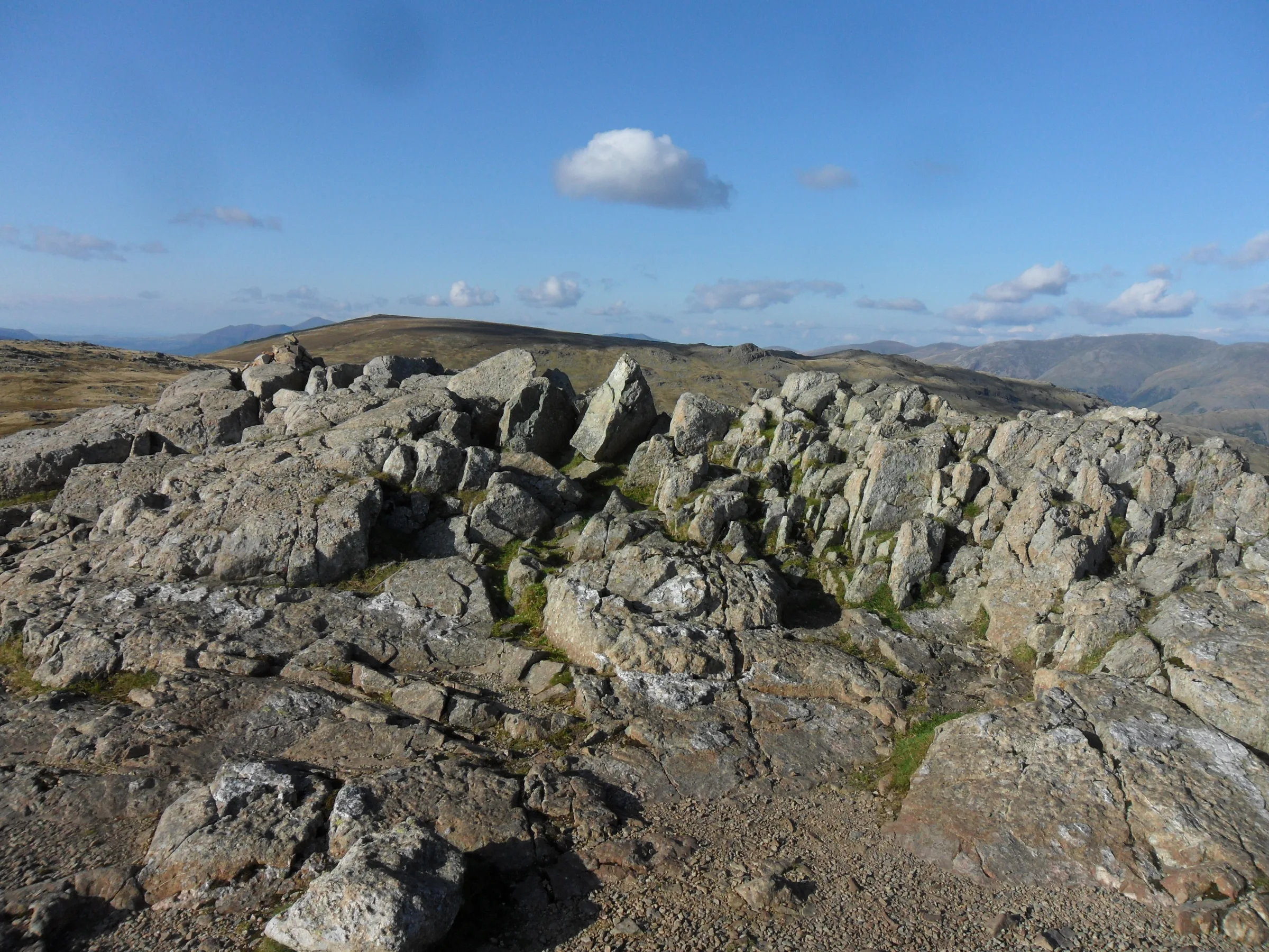
Round the back to Harrison Stickle0.6 mi · 260m upFrom the dam, take the path that climbs steeply west, up the slope to the right of Harrison Stickle's crags and onto the high ground behind them. Turn left (south) for the short walk to the summit, the highest of the Langdale Pikes.
- 3
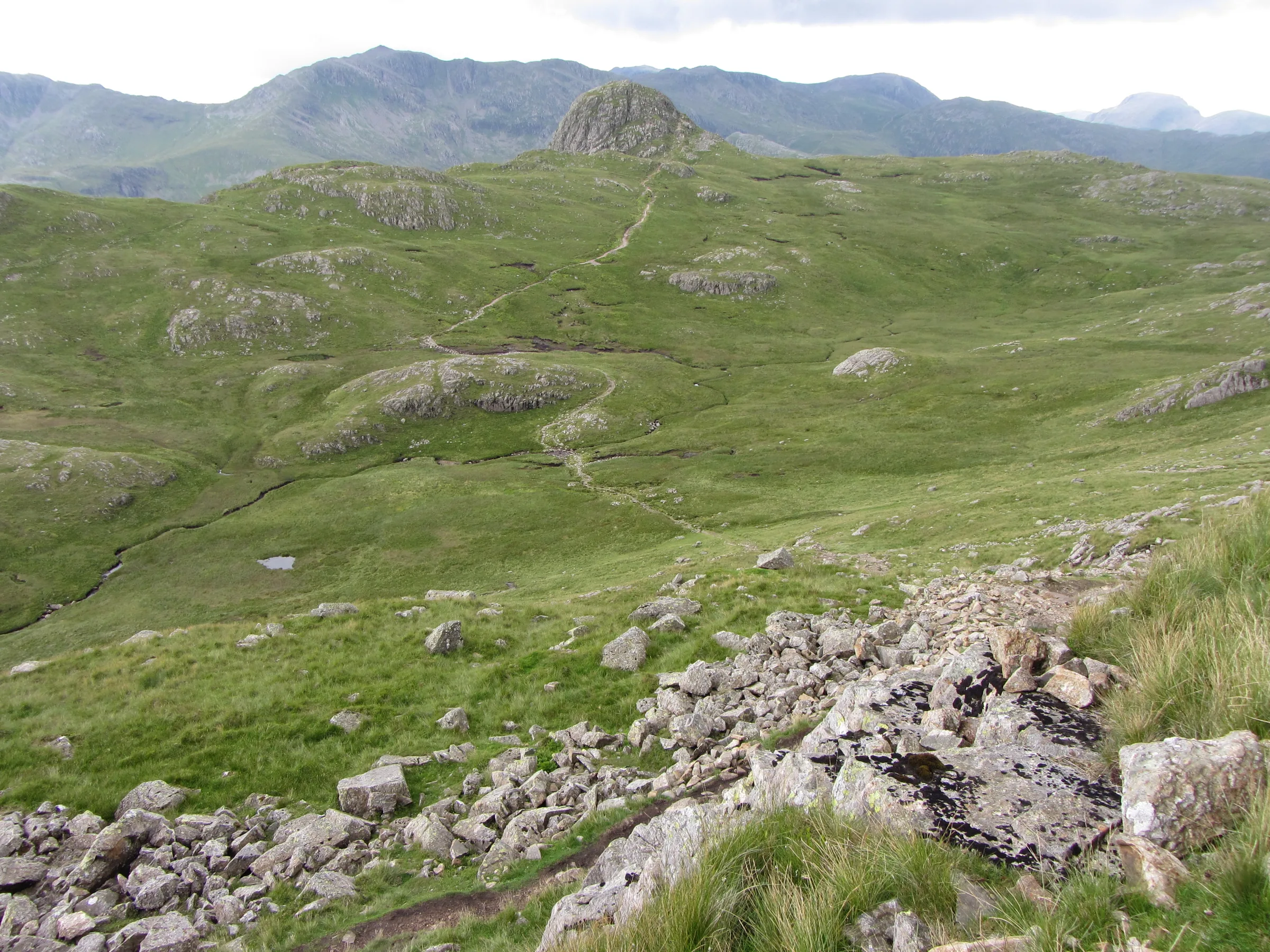
Across to Pike of Stickle0.6 mi · 30m up · 60m downHead west off Harrison Stickle, down across the head of Dungeon Ghyll, and follow the path to the foot of Pike of Stickle's rocky dome. The last bit to the top is a short, easy scramble, with Mickleden far below.
- 4
Over to Loft Crag0.3 mi · 20m downCome back down off the dome the way you went up and follow the path east to the rocky top of Loft Crag, just a short way along.
- 5
Down Mark Gate to the car park1.6 mi · 590m downFrom Loft Crag, head south-east down the long, steep Mark Gate path, with Great Langdale laid out in front of you all the way. It brings you back down to the car park by the New Dungeon Ghyll Hotel.
Use the route on OS Maps, AllTrails or Komoot to navigate on the day; this guide is for planning.
Parking
The walk starts from the National Trust's Stickle Ghyll car park (LA22 9JU) in Great Langdale, right next to Lanty Slee's pub at the foot of the ghyll. It has around 50 spaces and is pay and display, and as this walk takes 3 to 4 hours you'll want a ticket for at least 4 hours. National Trust members park free by scanning their card at the machine. There's little or no phone signal in the valley, so download the JustPark app and set it up before you go (location 80604), or bring cash for the machine. There are public toilets at the top of the car park. It fills up early on fine weekends and in the holidays, and there's no overnight parking. Check the latest prices here.
Alternative Parking
Facilities & Hospitality
Public toilets in the block at the top of the National Trust car park, right at the start of the walk. There's nothing else on the route, so go before you set off.
The old Sticklebarn, next to the car park, now run by the Lanty Slee Liquor Company and named after Langdale's famous moonshiner. Cakes, local ales, their own spirits and hearty food, with a big terrace looking up at the Pikes. Dogs are welcome and there's Wi-Fi.
A Victorian hotel a minute's walk from the car park, with 22 rooms and free Wi-Fi in some public areas. Its Walkers Bar serves food and drinks from breakfast until the evening, has a beer garden, and dogs are welcome in the bar.
The climbers' inn at the head of the valley, under a mile up the road. Its Hikers' Bar, once the cow stalls, serves food from noon and real ales from Cumbrian breweries. There are 12 rooms, and free Wi-Fi in the public areas.
Weather
Hike Videos
Note: Videos are made by other walkers, not The Lost Peak. They may not follow this exact route, and paths, conditions and facilities may have changed since filming.
Photo Gallery
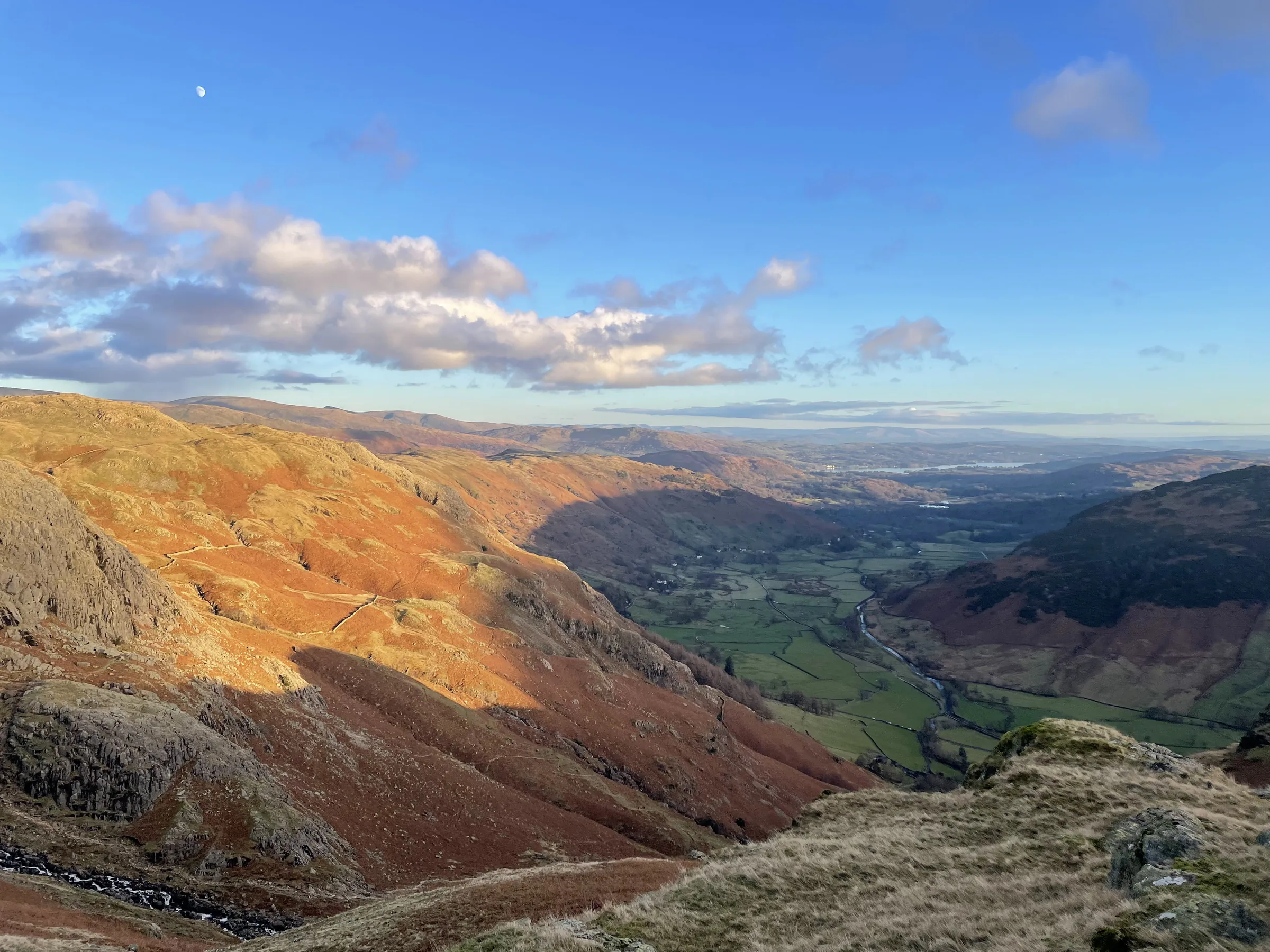
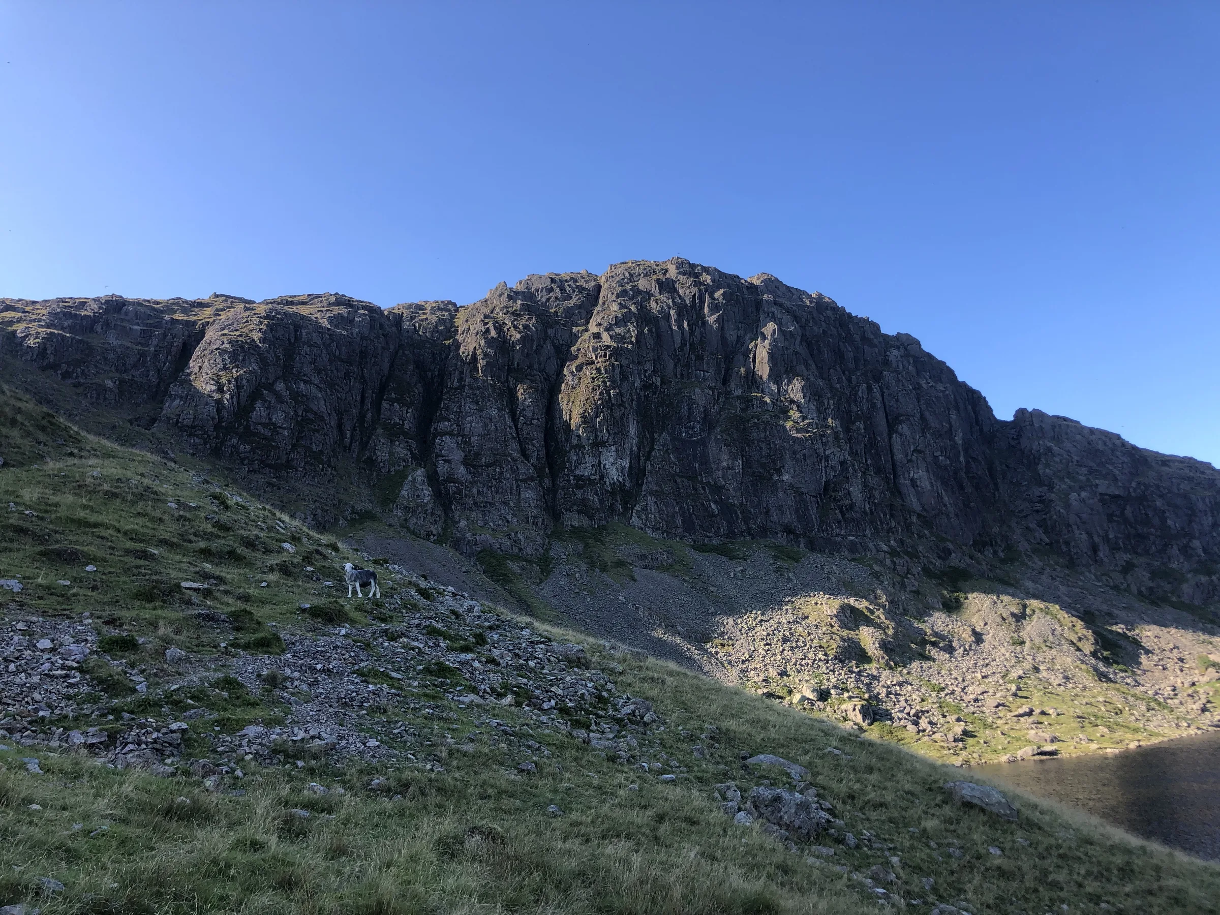
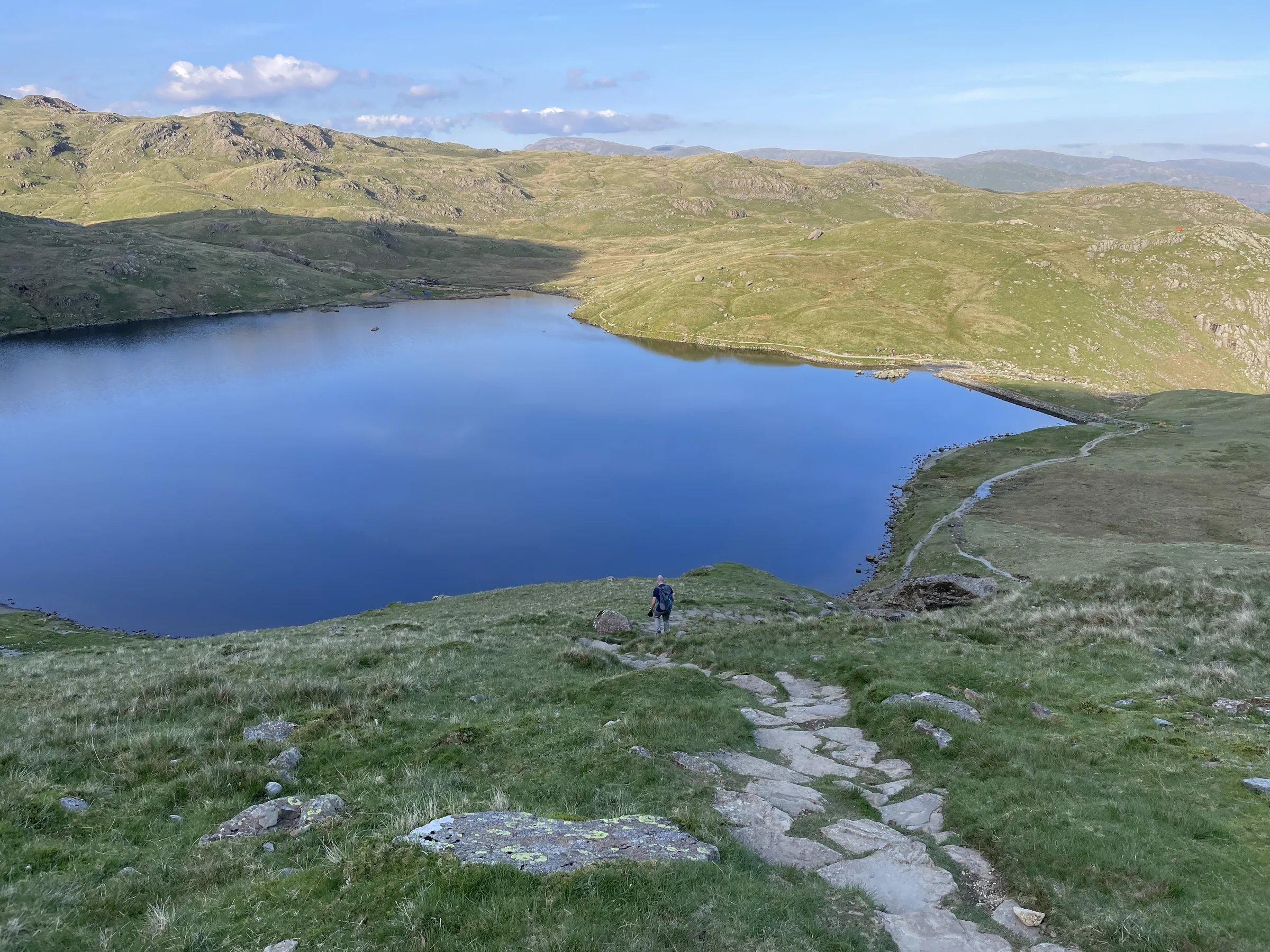
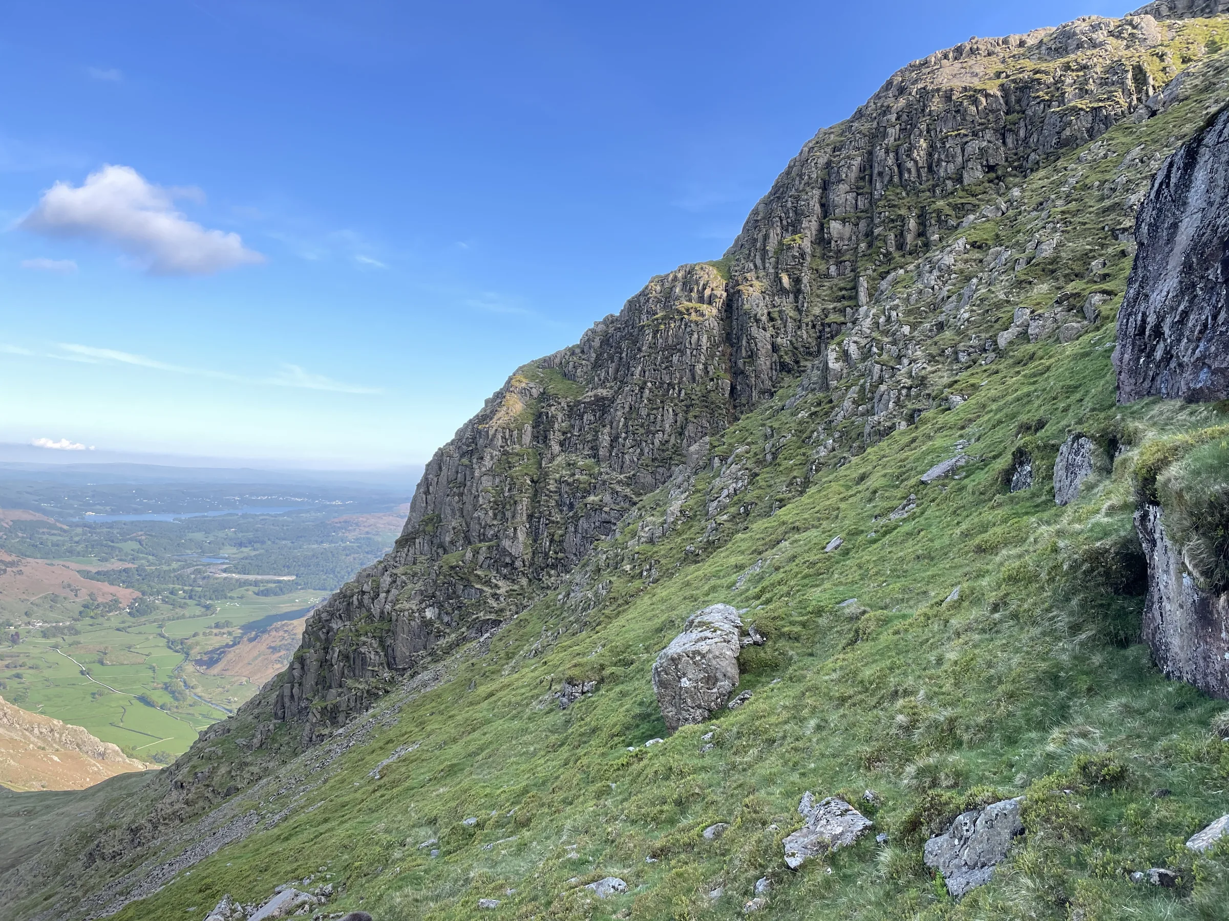
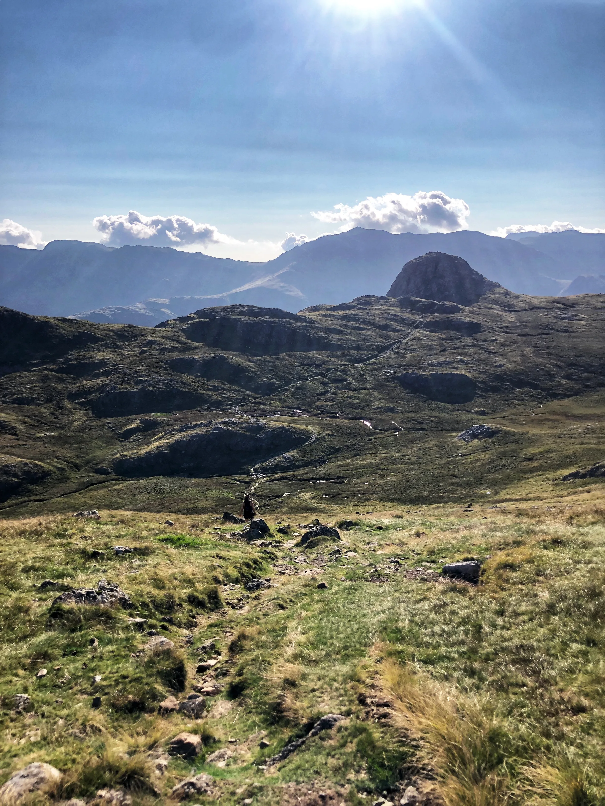
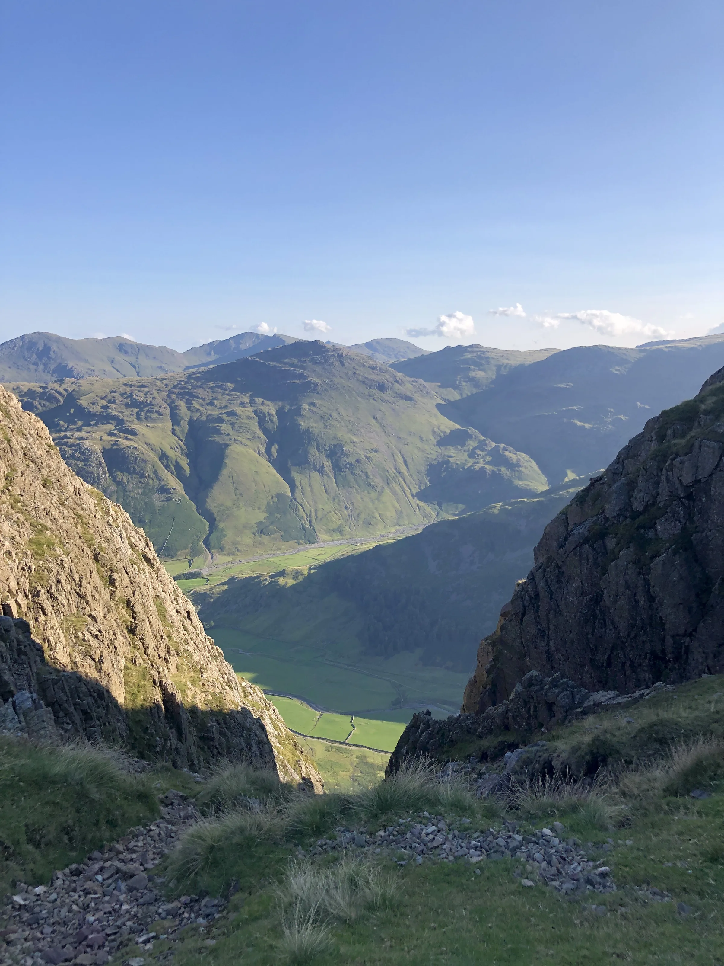
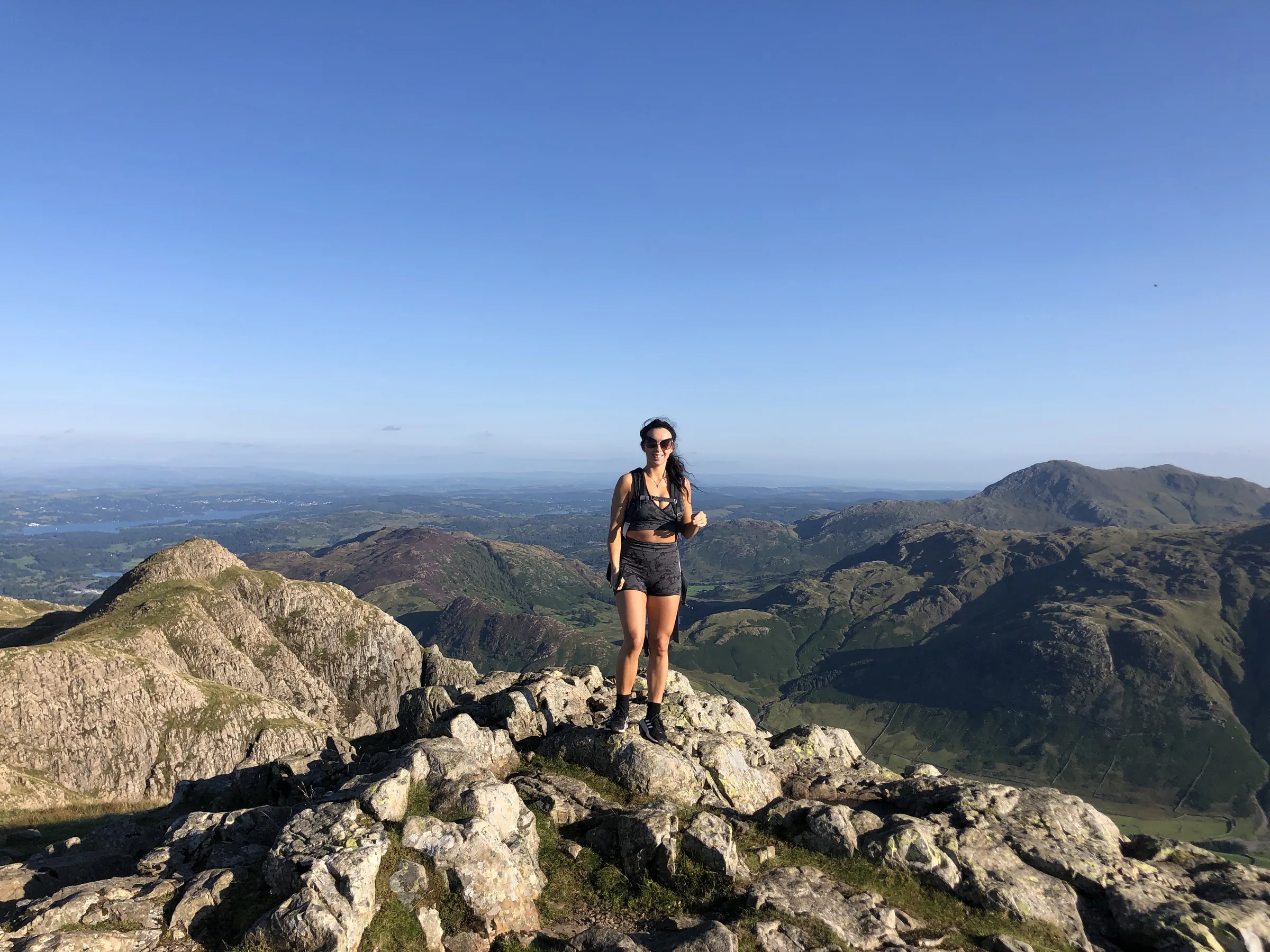
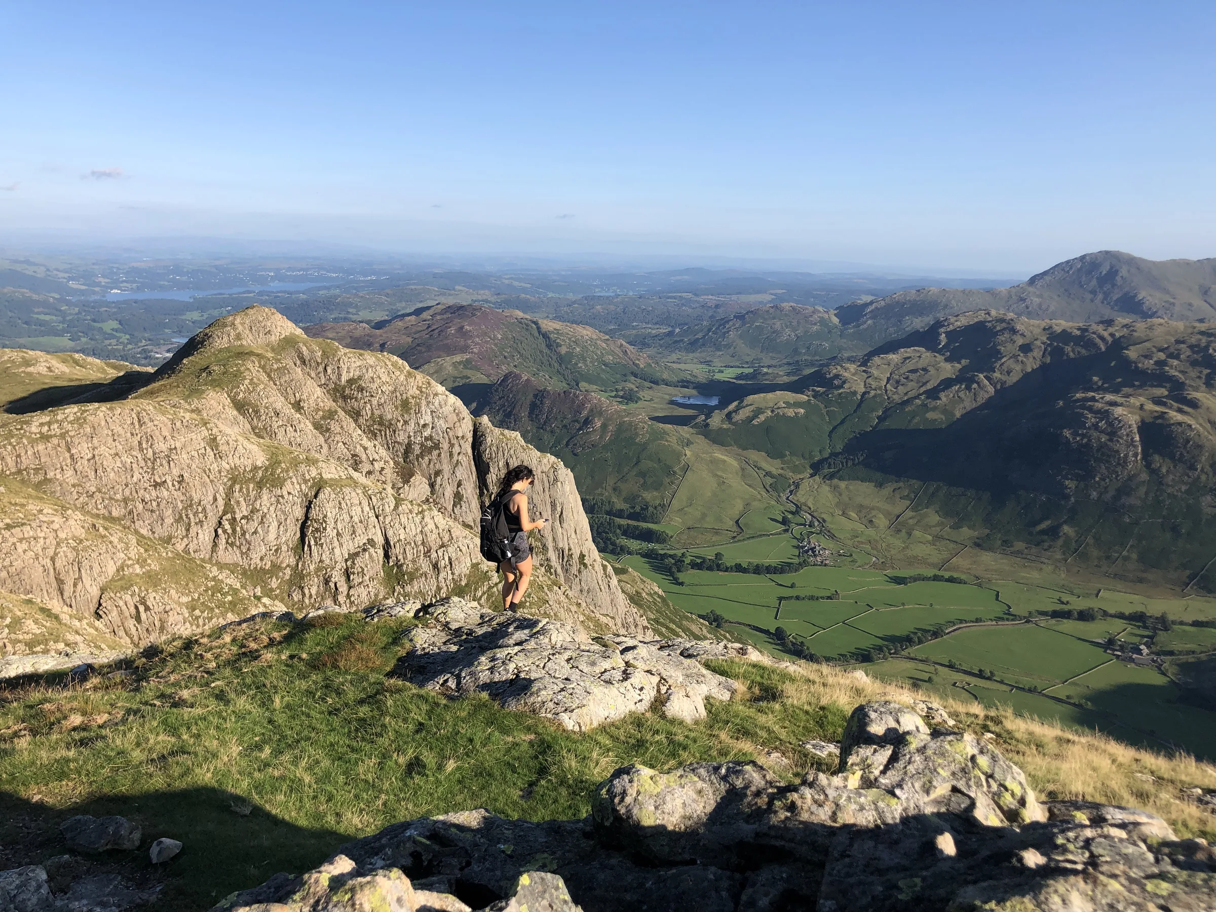
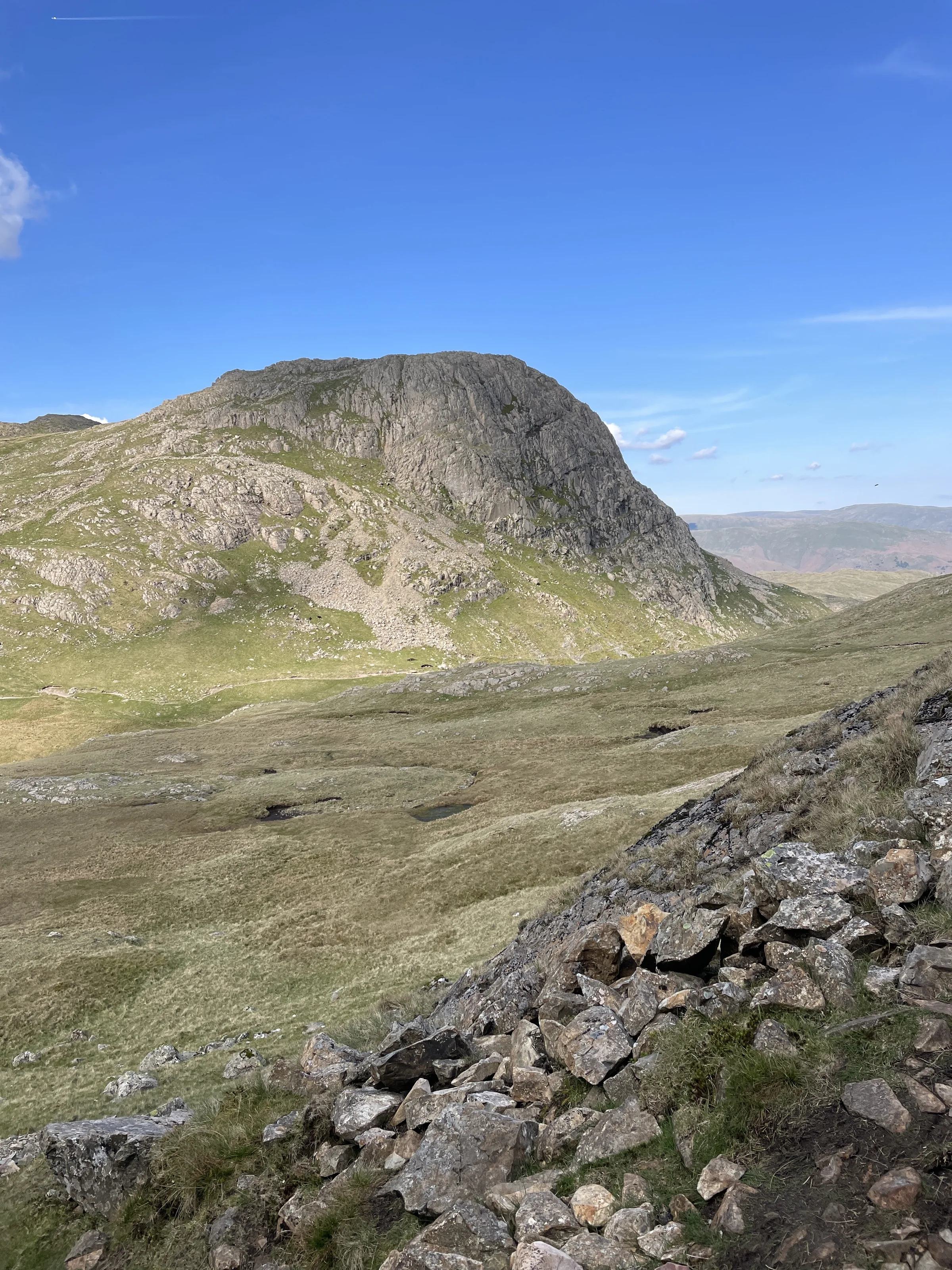
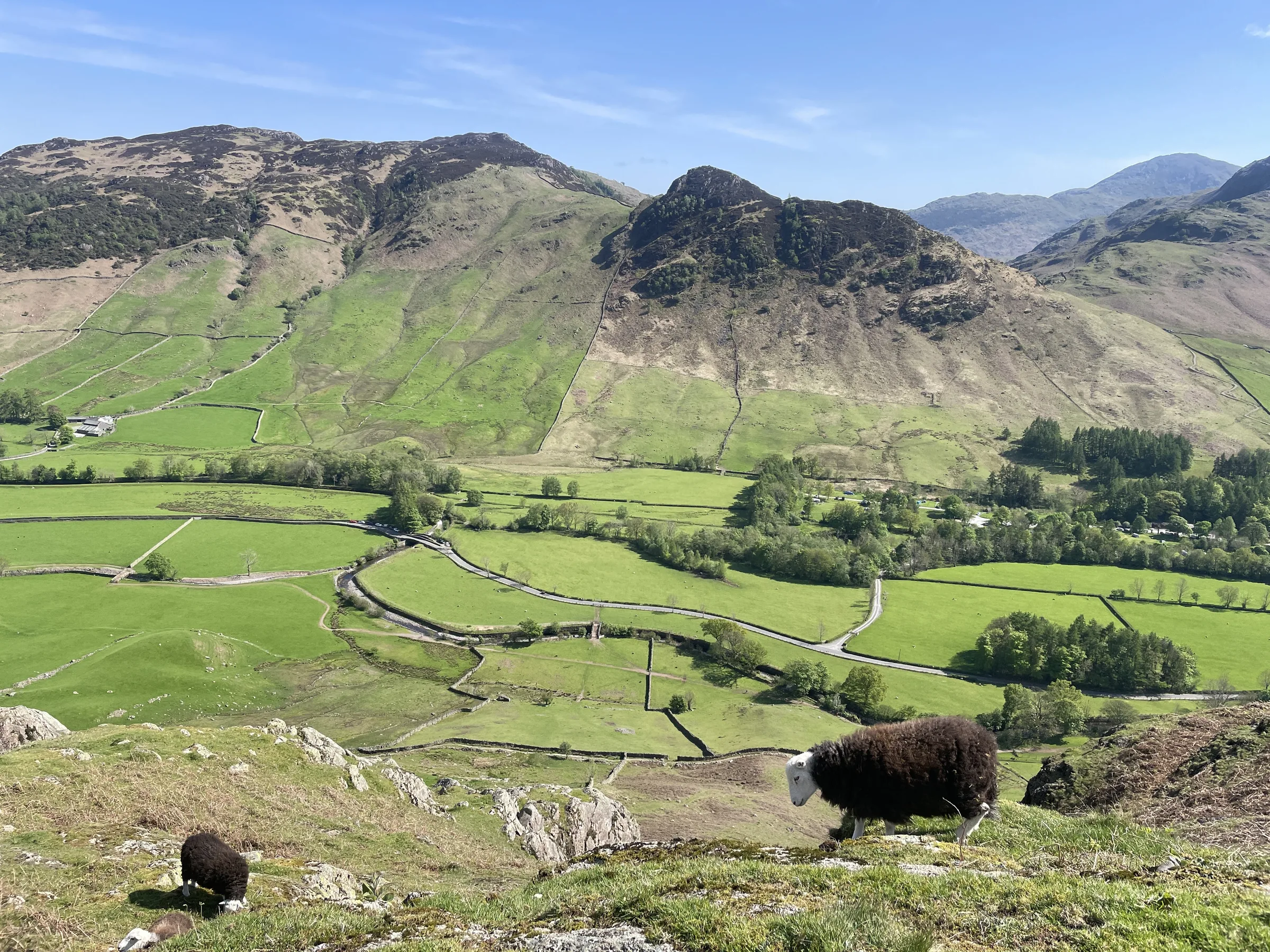
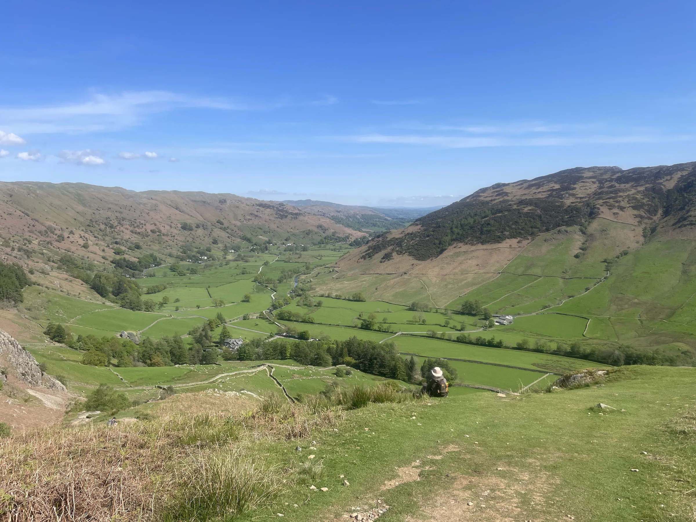
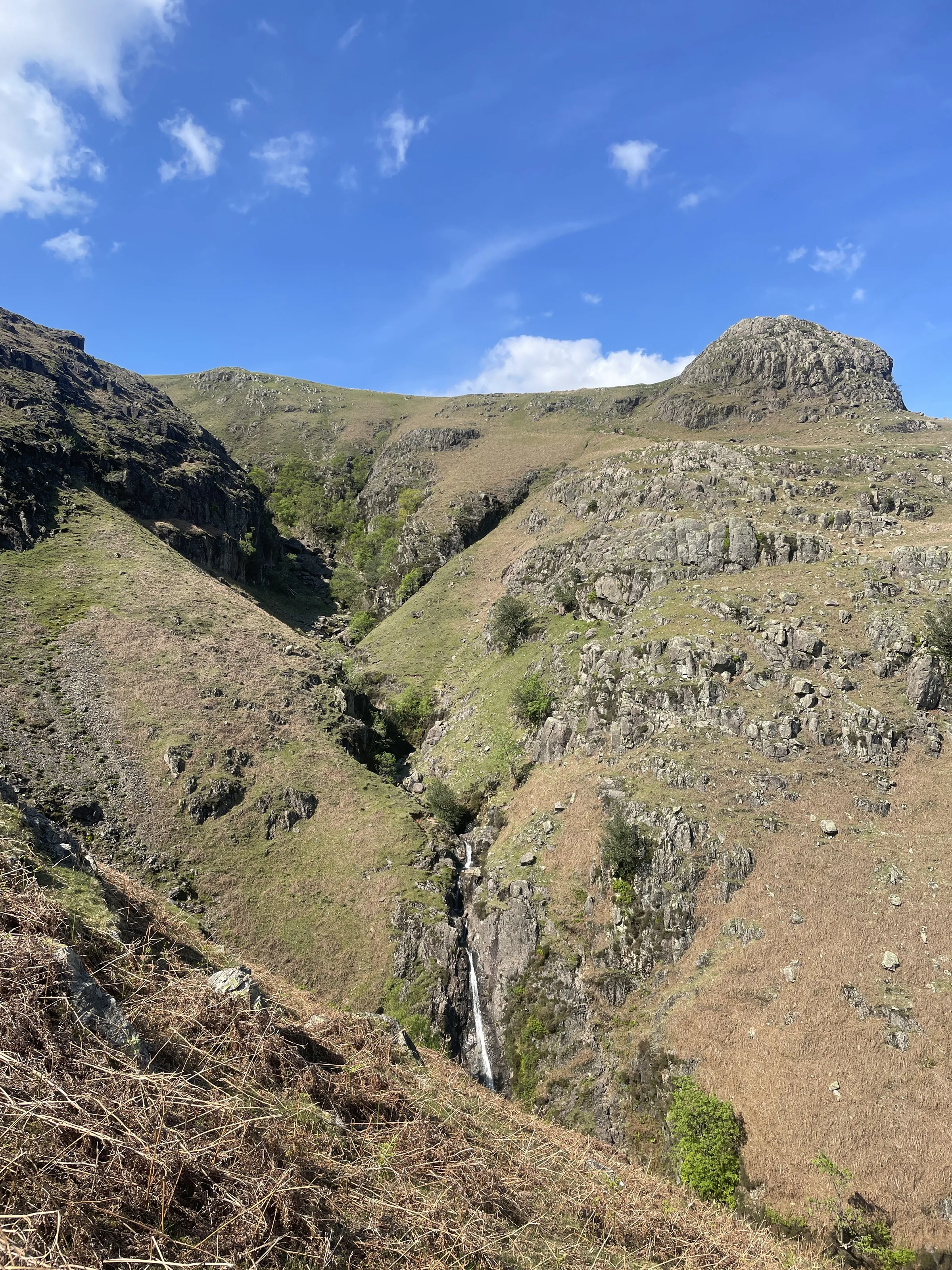
Photos
Photo credits
Photos without a credit are our own. These are used under Creative Commons licences; thank you to the photographers.
 Harrison Stickle Summitby Anthony Foster, Wikimedia Commons (Geograph)Original photoCC BY-SA 2.0 licence
 From Harrison Stickle to Pike of Stickleby Gareth James, Wikimedia Commons (Geograph)Original photoCC BY-SA 2.0 licence
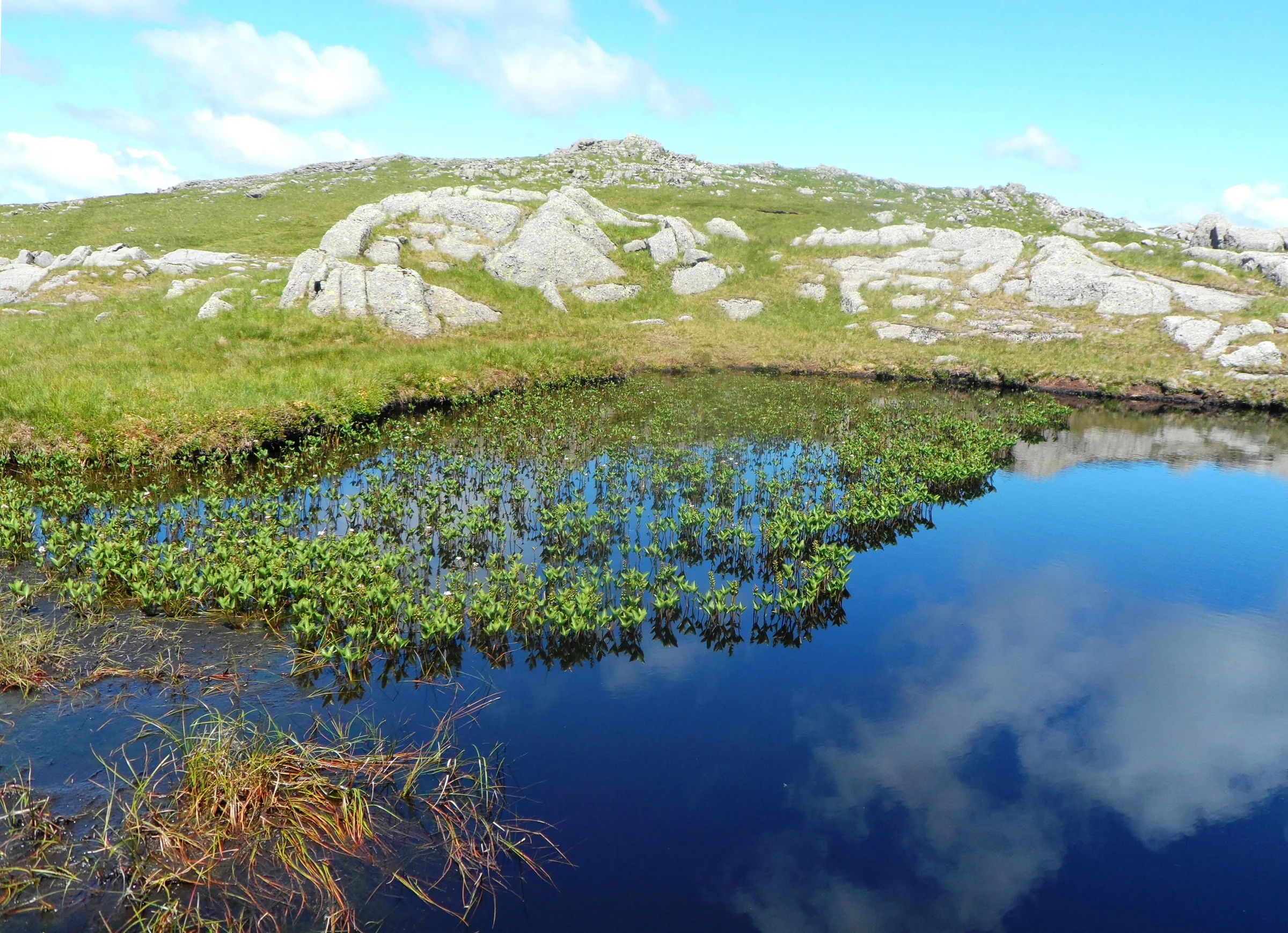
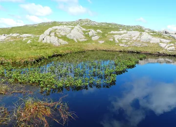 A Tarn on Harrison Stickleby Anthony Parkes, Wikimedia Commons (Geograph)Original photoCC BY-SA 2.0 licence
Hints & Tips
Hands On in Stickle Ghyll
The path up Stickle Ghyll is a long stone staircase with a few short rocky steps where you'll want your hands. The rock gets very slippery when it's wet, so take it slowly, and take extra care at the stepping stones near the top if the ghyll is in spate.
The Pike of Stickle Scramble
The last few metres onto Pike of Stickle are a short, steep scramble up rock. It's easy in the dry, but in wind, rain or ice it's worth leaving your bag at the bottom, or simply enjoying the view from the col below, which is almost as good.
Stay Off the Stone Shoot
The steep scree gully on the south side of Pike of Stickle, the Stickle Stone Shoot, is badly eroded and no longer recommended for going up or down. Stick to the route back over Loft Crag and down Mark Gate, even though the Shoot looks like a quick way home.
Mist on the Tops
The grassy ground between Harrison Stickle and Pike of Stickle is criss-crossed by paths, and in cloud it's easy to wander off towards High Raise or down the wrong side. Know your compass bearings before you leave Harrison Stickle, or follow the route on your phone.
Pay Before You Lose Signal
There's almost no phone signal in Great Langdale. Set up JustPark at home or bring cash for the machine, and download the route and OS map to your phone before you leave so it works on the hill.
Interesting Facts
General
Highest of the Pikes
Harrison Stickle, Pike of Stickle and Loft Crag are three of the 214 Wainwrights, and at 736m Harrison Stickle is the highest of the Langdale Pikes
The Gunpowder Dam
Stickle Tarn was made bigger by a stone dam built in 1838, and its water helped keep the mills of the Elterwater gunpowder works turning all year round
Wordsworth's Ghyll
Between Harrison Stickle and Pike of Stickle you cross the head of Dungeon Ghyll, whose waterfall in the valley below is the setting of Wordsworth's poem The Idle Shepherd-Boys
Jack's Rake
From Stickle Tarn you look straight up at the 120m cliff of Pavey Ark, cut across by Jack's Rake, a famous scramble you can often watch people climbing
The Stone Age Axe Factory
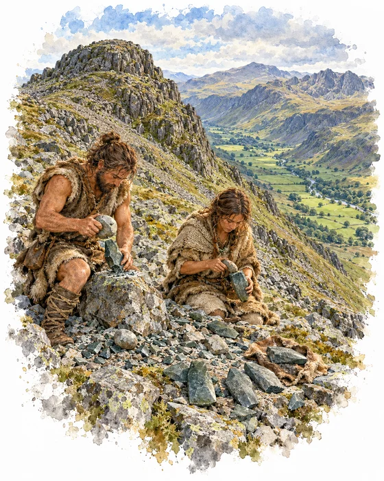
Around 5,500 years ago, Neolithic people climbed to the screes just below the summit of Pike of Stickle to find a special volcanic rock, a hard greenstone that breaks like flint. They chipped it into rough axe heads on the spot, and the scree is still scattered with their flakes and rejects. The rough-outs were carried down to the coast and beyond to be ground and polished, and about a quarter of all the Neolithic stone axes found in Britain came from the Langdale fells.
Pike of Stickle is thought to be one of the most important Neolithic stone axe factories in Europe. The main quarries sit above the screes on its steep southern face, and a small cave at the top of the Stickle Stone Shoot was part of the workings. Radiocarbon dates suggest the work went on for about 1,000 years.
Langdale axes have been found as far north as Orkney, as far south as Cornwall and across the sea in Ireland, with the most in eastern England, especially Lincolnshire. Some look as if they were never used, and archaeologists have suggested they may have been prized as treasures as much as tools.
Lanty Slee, the Langdale Moonshiner
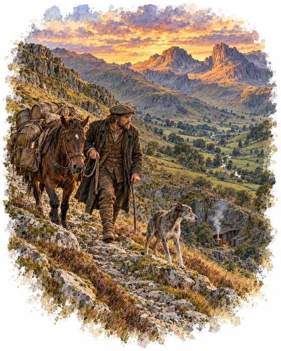
Lancelot “Lanty” Slee was a Langdale farmer and quarryman who, for much of the 1800s, ran illegal whisky stills hidden in caves and old quarries around the valleys. One still was piped underground so its steam seemed to rise from a hedge. He sold his whisky to the local gentry, a magistrate among them, and took it by pack horse over Wrynose and Hardknott to the coast, bringing smuggled tobacco back on the return trip. On one night crossing, so the story goes, his dog warned him that excise men were coming.
Born in Borrowdale around 1800, Lanty built Greenbank Farm in Little Langdale in 1840. He charged about ten shillings a gallon, and buyers are said to have opened with a coded question about his potato crop.
He was caught at least twice. In May 1853 he was fined £150 after his business partner, William Pattinson, informed on him. After one night in the cells, a magistrate joked that the spell had been broken this time, and Lanty is said to have pulled a full bottle from his coat. He died at Greenbank in 1878. The barn at the start of this walk now carries his name, and the spirits sold there are made in his honour.
More Hikes
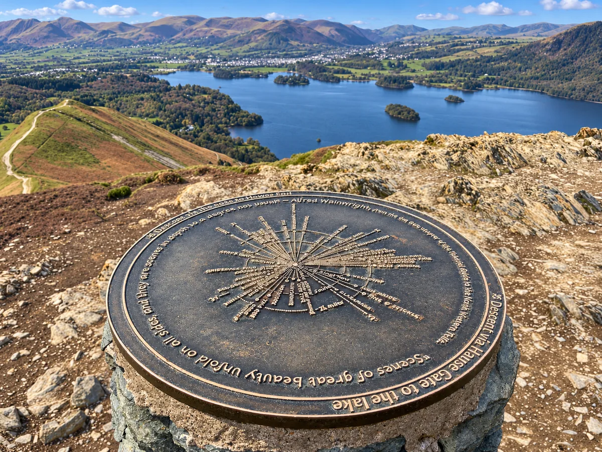 ModerateCatbells3.6 mi · 2–3 hrs · 404m
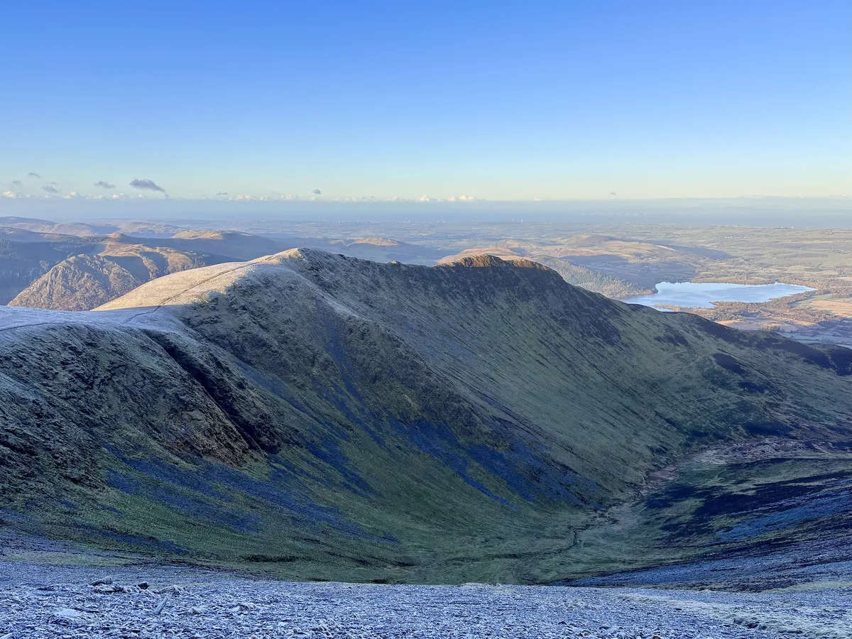 HardSkiddaw6.5 mi · 4–5 hrs · 870m
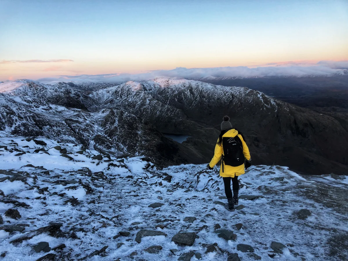 HardOld Man of Coniston4.9 mi · 3–4 hrs · 585m
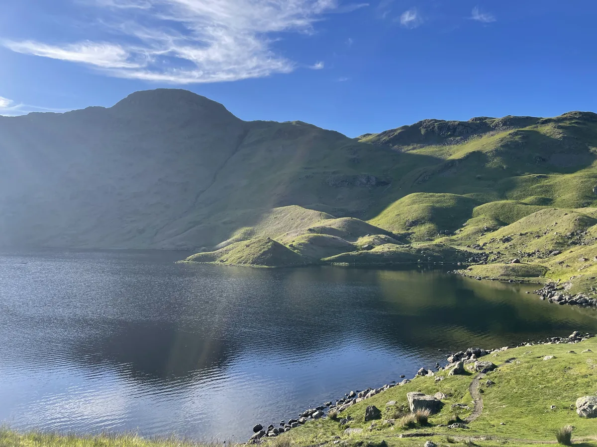 ModerateEasedale Tarn6.9 mi · 4–4½ hrs · 600m
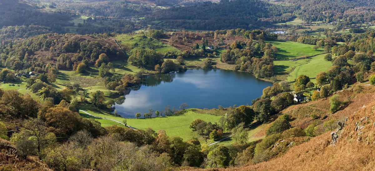 EasyLoughrigg Fell3.0 mi · 2–2½ hrs · 326m
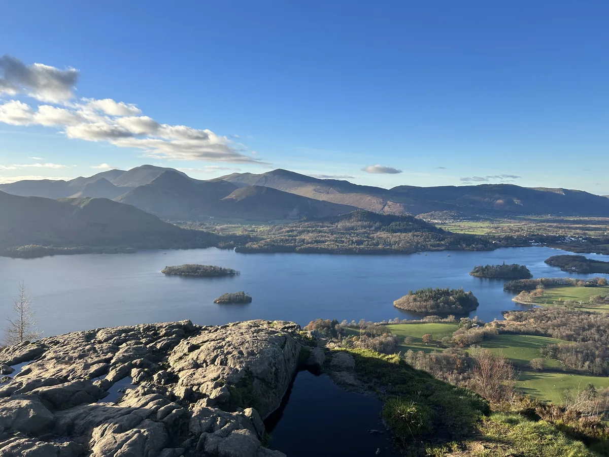 ModerateWalla Crag & High Seat5.8 mi · 3½–4½ hrs · 547m
Subscribe for updates on new hikes and National Parks
One email a month with new hikes and routes. No spam.