



Contents
Overview
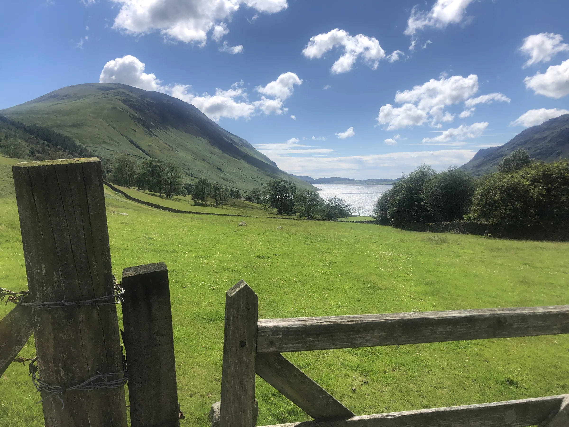
No ground in England stands higher than the stony top of Scafell Pike. At 978m it is the country's highest and most prominent mountain, and there is no higher ground for more than 90 miles around. The summit is a wide field of shattered boulders with a huge cairn and a trig point, and in 1919 it was placed in the care of the National Trust as a memorial to the Lake District men who died in the First World War. Down at the start lies Wast Water, the deepest lake in England.
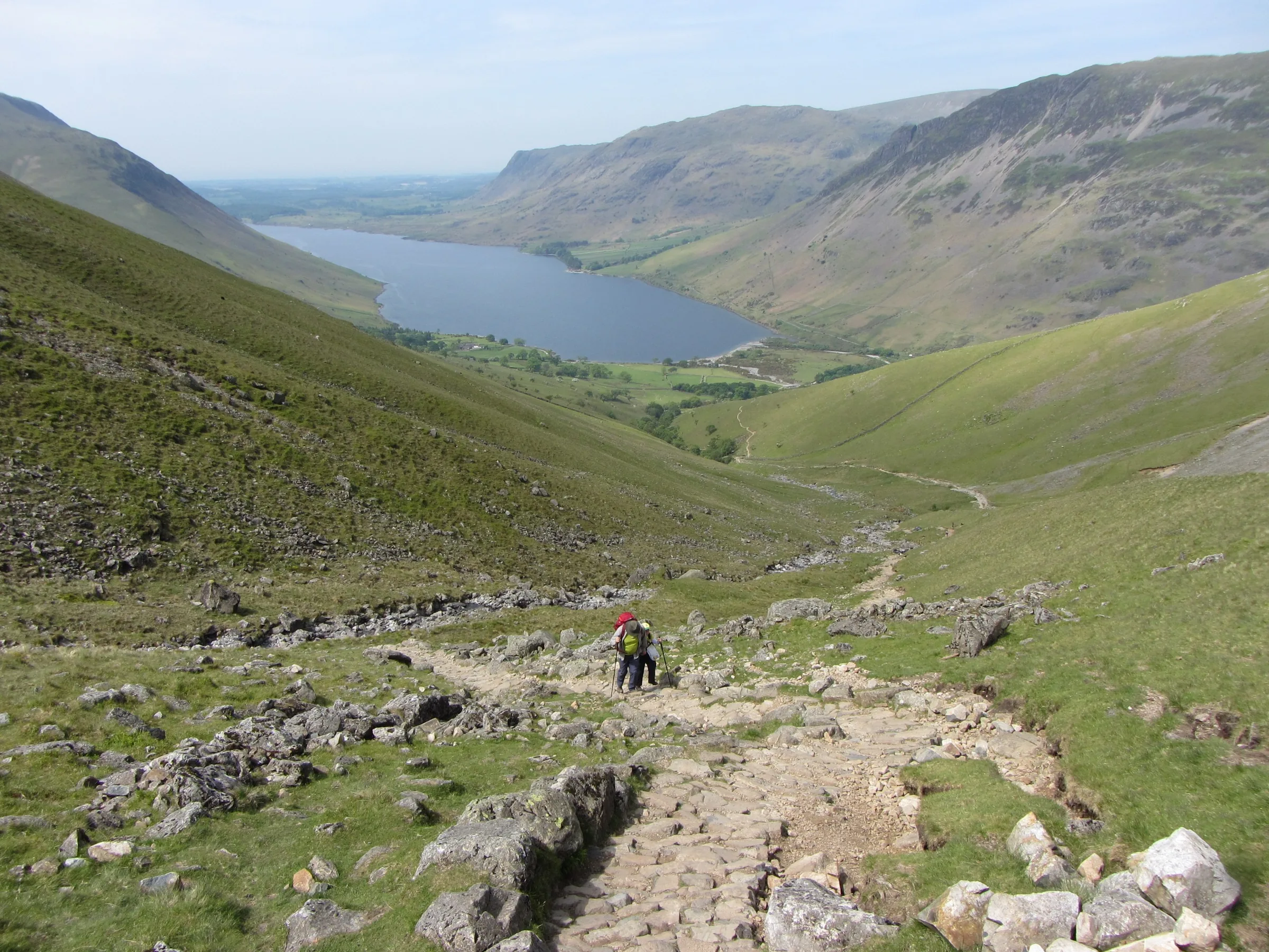
This is the shortest way up the mountain, and one of the busiest. From the car park at the head of Wast Water you cross Lingmell Gill on a footbridge and follow its valley east, then climb the steep, stony path of Brown Tongue into Hollow Stones, a boulder-filled hollow below the crags of Scafell Pike and Scafell. Here you bear left, up to Lingmell Col, the dip between Lingmell and Scafell Pike, before turning right for the rough, bouldery final slope to the summit. You come back down the same way. This walk takes in one Wainwright: Scafell Pike. Find all 214 on our Wainwrights map.
Go prepared, stay safe,
and enjoy the hike!
Key Info
Crowds
Very High
Around 250,000 people a year climb Scafell Pike, and the Wasdale path is the most trodden way up. Summer weekends are the busiest, as Three Peaks Challenge groups pour through day and night. Be aware that late evenings in summer are not always quiet here, because many challenge groups climb in the dark.
When it gets busy
- Weekends from Easter onwards, when hundreds of people use the paths overnight
- The four weeks either side of midsummer, especially Saturday nights, the peak of the Three Peaks season
- Sunny bank holidays
- The Wasdale tourist path up Brown Tongue and the summit itself
- The Lake Head car park, which can fill, so have a plan B or come back another day
For a quieter walk
- Go on a weekday, when far fewer Three Peaks groups are about
- Avoid summer weekends near midsummer if you want peace
- Visit out of season, in autumn or spring outside the school holidays
- Pick a clear weekday afternoon outside summer for a quieter top (general advice, allow plenty of daylight)
- Share a lift, as the valley road is narrow and parking is limited
Our crowd rating is for a typical sunny weekend in spring or summer, in the middle of the day. Timing makes a big difference, so even a busy walk can be quiet early, late or midweek.
The Route
Disclaimer: Route information and GPX files are provided for general guidance only. Conditions can change, so always use your own judgement and navigate responsibly. See our Terms of Use & Disclaimer for more information.
Route Guide
- 1
Over Lingmell Gill0.4 mi · 45m upFrom the car park, head south, then east to the footbridge over Lingmell Gill and cross it.
- 2
Up the valley of Lingmell Gill0.6 mi · 190m upFollow the path east up the valley of Lingmell Gill, climbing steadily to a gate at the foot of Brown Tongue.
- 3
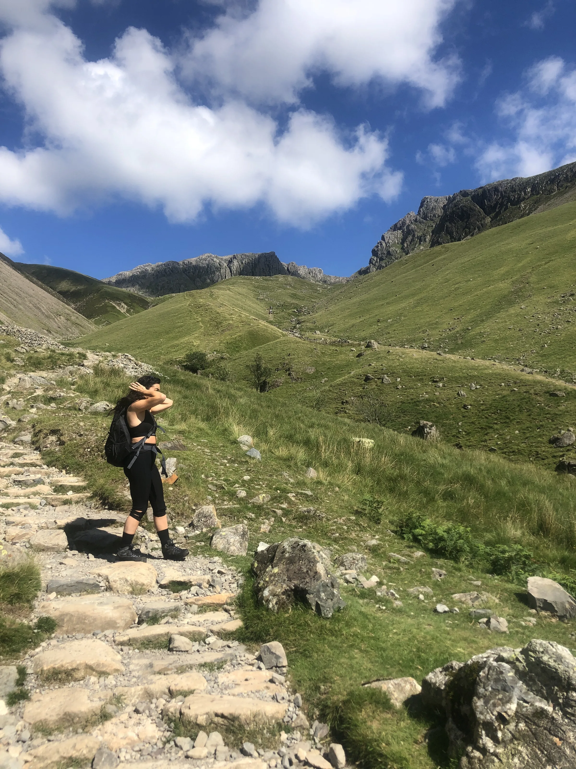
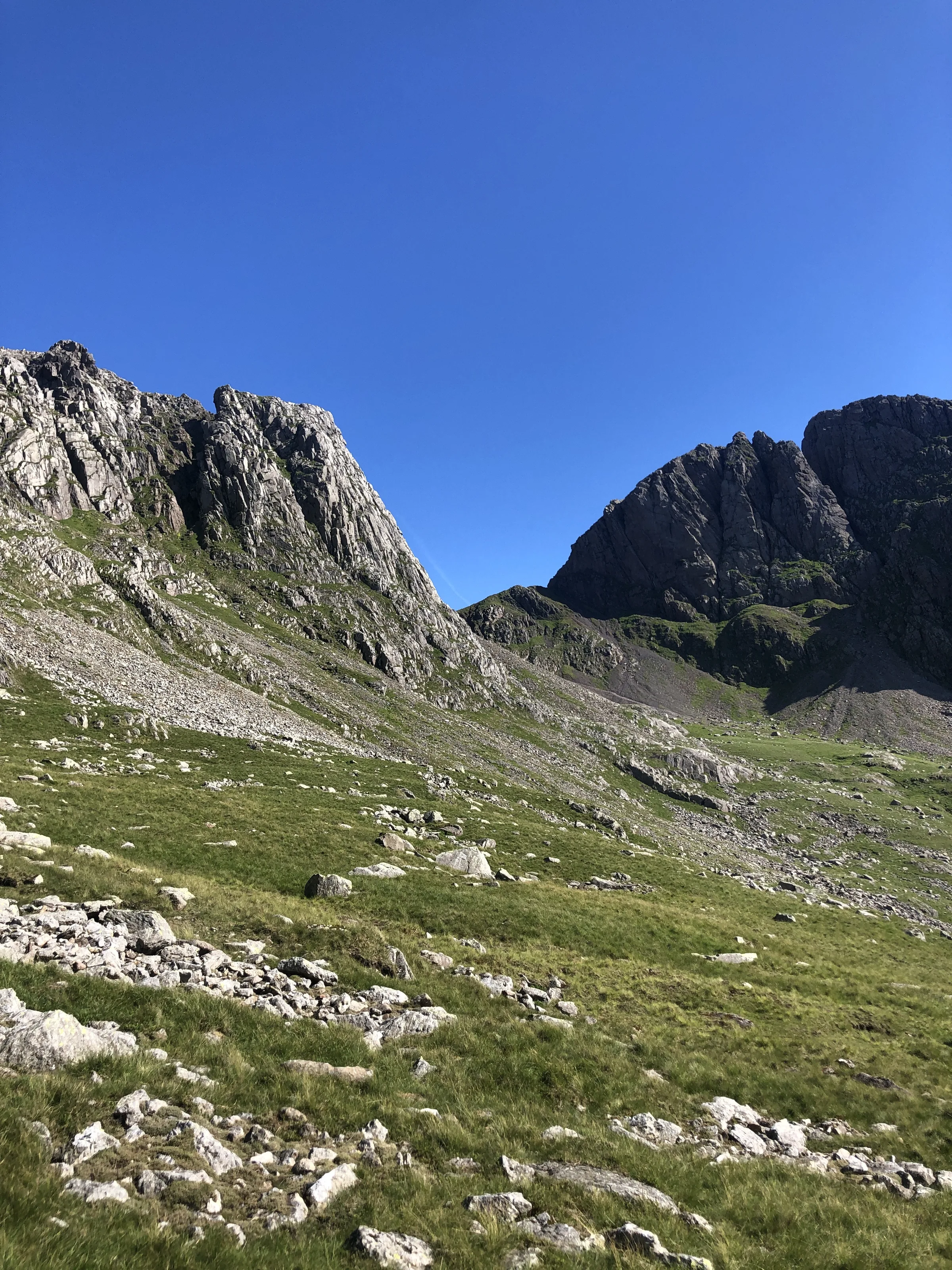
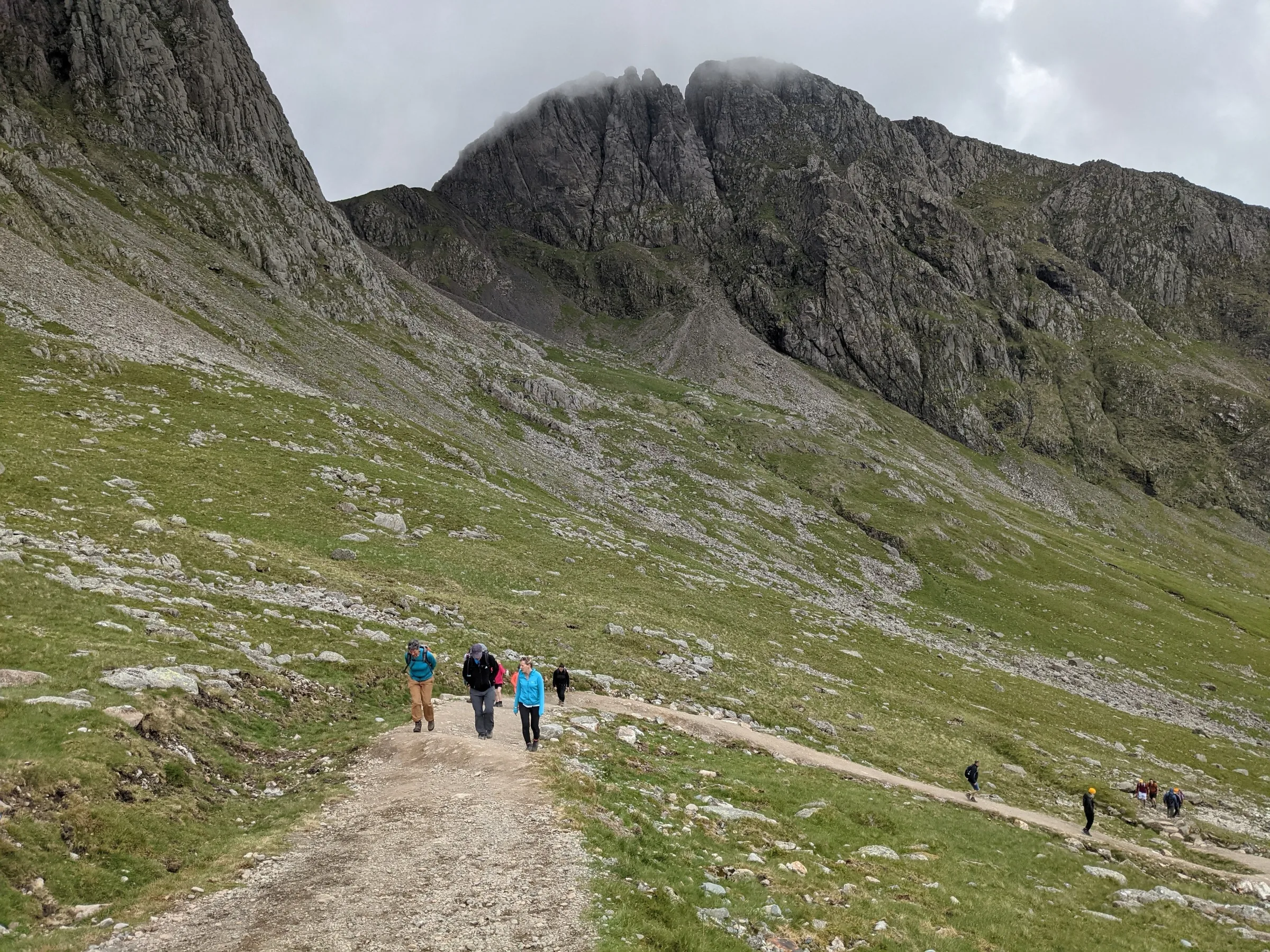
The climb up Brown Tongue0.7 mi · 300m upThrough the gate, a steep, stony path climbs straight up Brown Tongue. At the top it levels out into Hollow Stones, a hollow full of boulders under the crags of Scafell Pike, with the cliffs of Scafell Crag in front of you.
- 4
Left to Lingmell Col0.4 mi · 135m upLeave the path that carries on towards Mickledore, the high gap between Scafell Pike and Scafell, and bear left, climbing north-east to Lingmell Col, the grassy dip between Lingmell and Scafell Pike, where the Corridor Route joins.
- 5
The stony final slope0.6 mi · 230m upTurn right and climb south, then south-east, up the rough slope of stones and boulders to the big summit cairn and trig point on top of Scafell Pike.
- 6
Back to Lingmell Col0.6 mi · 230m downRetrace your steps down the bouldery slope to Lingmell Col. Take care to find the same line in mist, as there are other paths off the top.
- 7
Down Brown Tongue to Wasdale2.1 mi · 670m downTurn left at the col, drop back down into Hollow Stones and down the steep path of Brown Tongue, then follow Lingmell Gill back to the footbridge and the car park.
Use the route on OS Maps, AllTrails or Komoot to navigate on the day; this guide is for planning.
Parking
The walk starts from the National Trust's Lake Head car park (CA20 1EX) at the head of Wast Water, the biggest car park in the valley. National Trust members park free. Otherwise it's £7 for up to 2 hours, £8.50 for up to 4 hours or £10 for the day, and charges apply at all times, so for this walk of 4 to 5 hours get the all-day ticket. There's very little phone signal in Wasdale and the car parks can't always take card or phone payments, so bring change, or set up the JustPark app before you go. There's a large toilet block, and no overnight parking. Postcodes here cover a wide area, so follow the signs rather than the satnav. Check the latest prices here.
In summer the Wasdale Explorer bus runs from Ravenglass to Wasdale Head; in 2026 it ran at weekends and bank holidays from 2 May to 31 August, at £3 for an all-day ticket. Check the National Park website for next year's dates.
*Prices correct at time of writing; check before you travel.
Facilities & Hospitality
A large toilet block in the car park, at the start and finish of the walk. The National Trust welcome centre next to it can tell you about the trails and mountain safety, and lends out maps, compasses, route cards and whistles free of charge.
The old climbers' inn at Wasdale Head, about a mile and a half up the valley, whose first landlord was Will Ritson, the 'biggest liar' in our story below. Ritson's Bar serves food from noon until 9PM, with up to six real ales, mostly from Cumbrian breweries. Dogs are welcome in the bar, and there are rooms, apartments and camping, plus an outdoor gear shop.
Weather
Hike Videos
Note: Videos are made by other walkers, not The Lost Peak. They may not follow this exact route, and paths, conditions and facilities may have changed since filming.
Photo Gallery
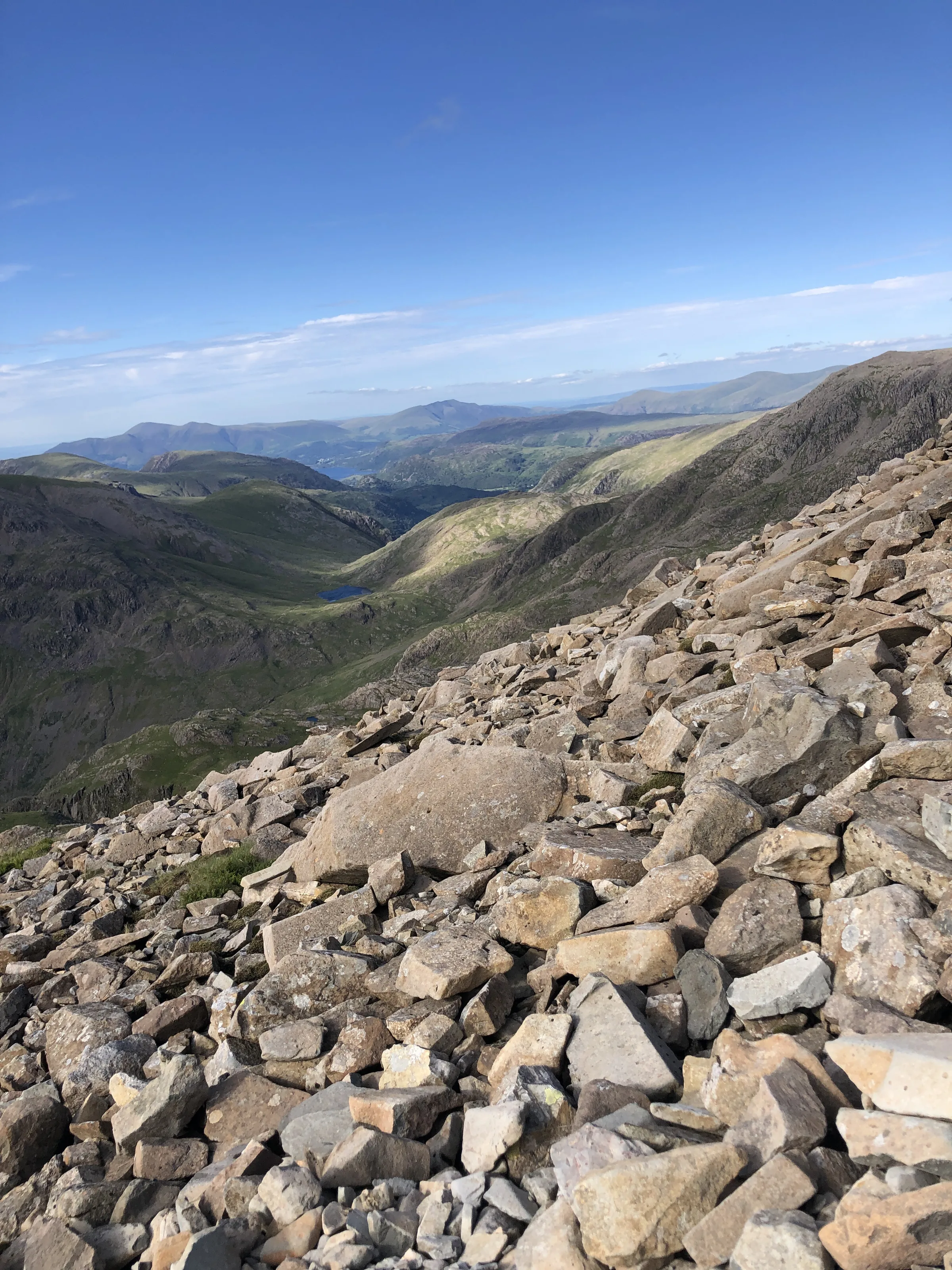
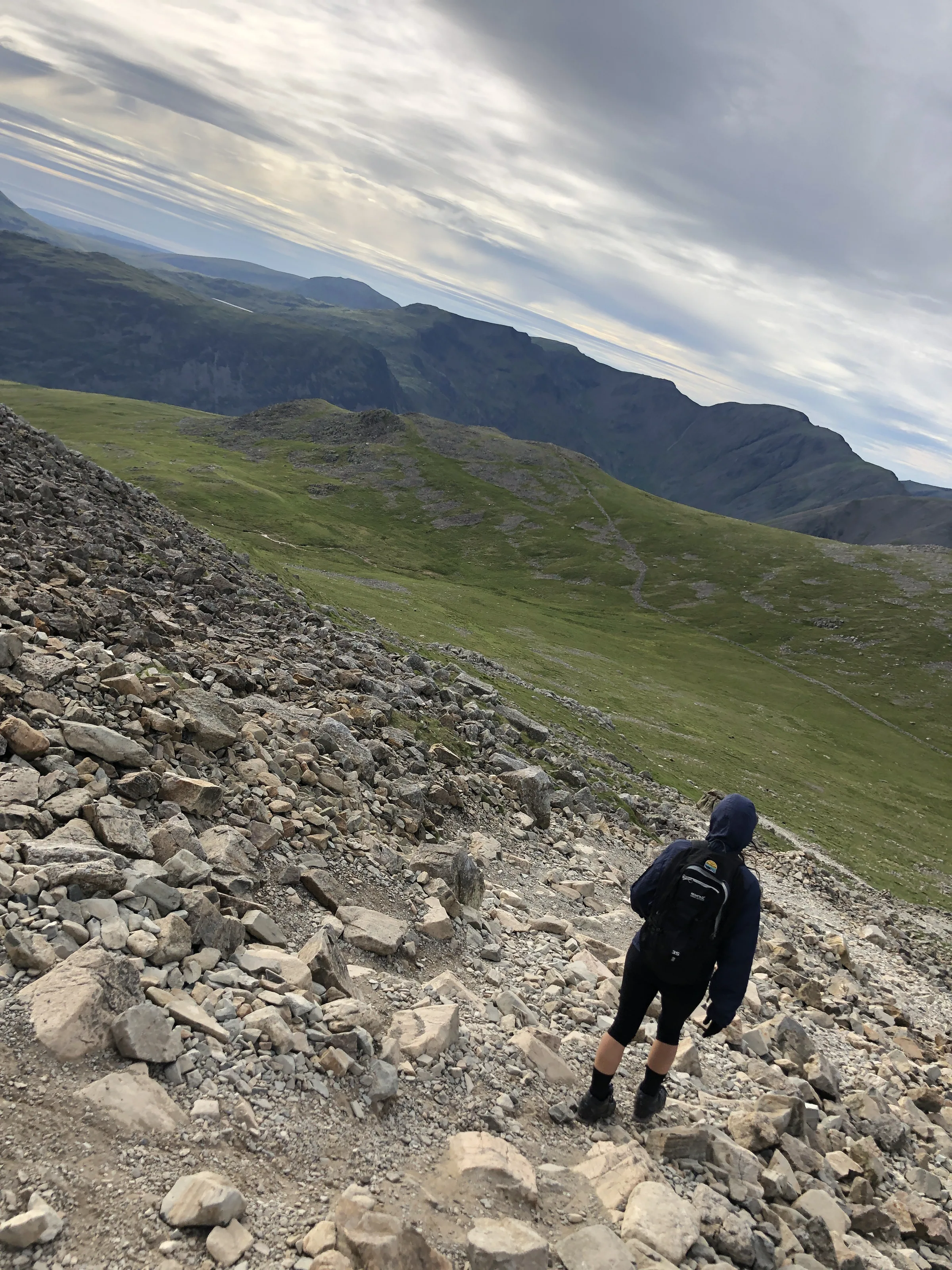
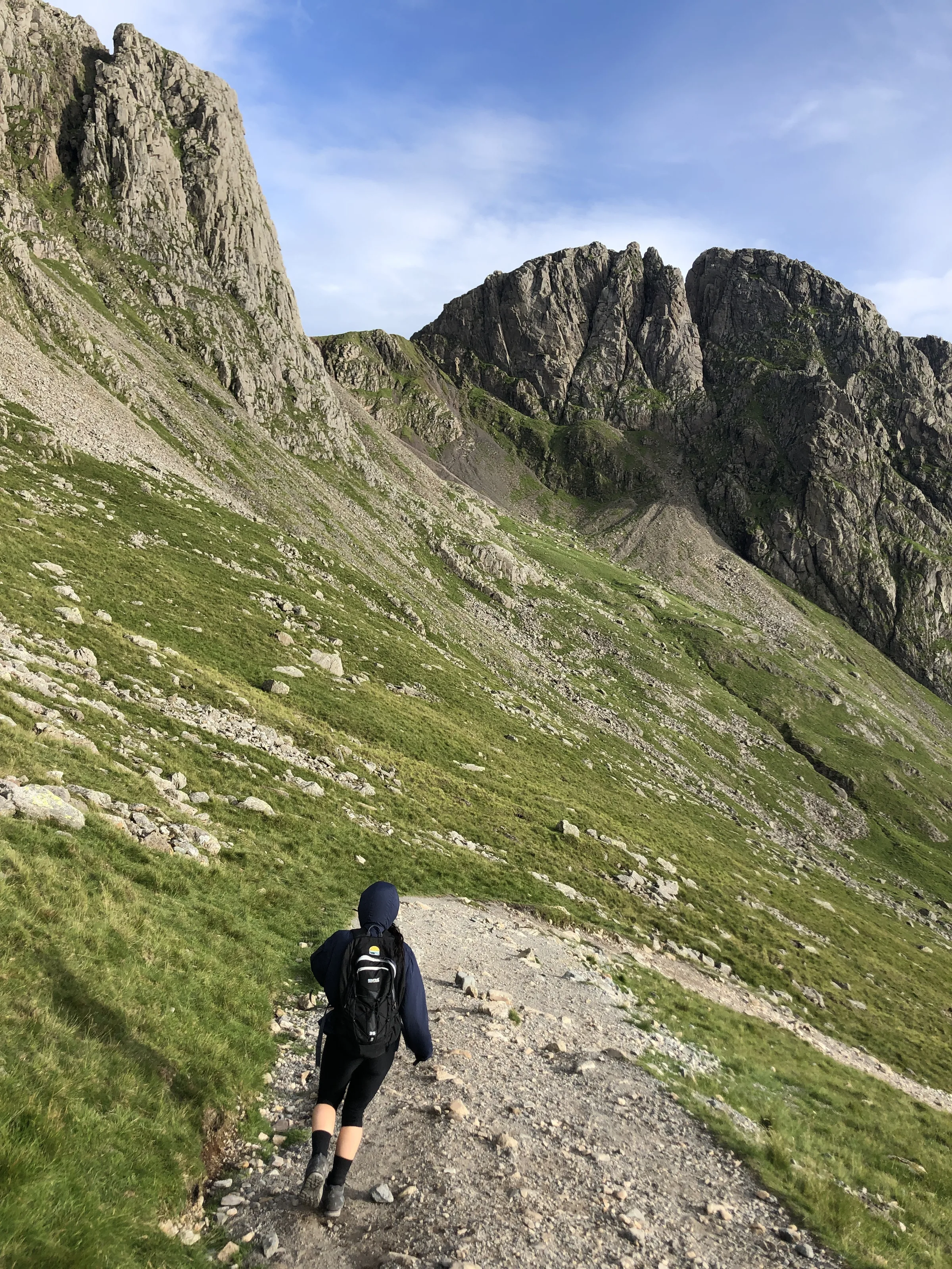
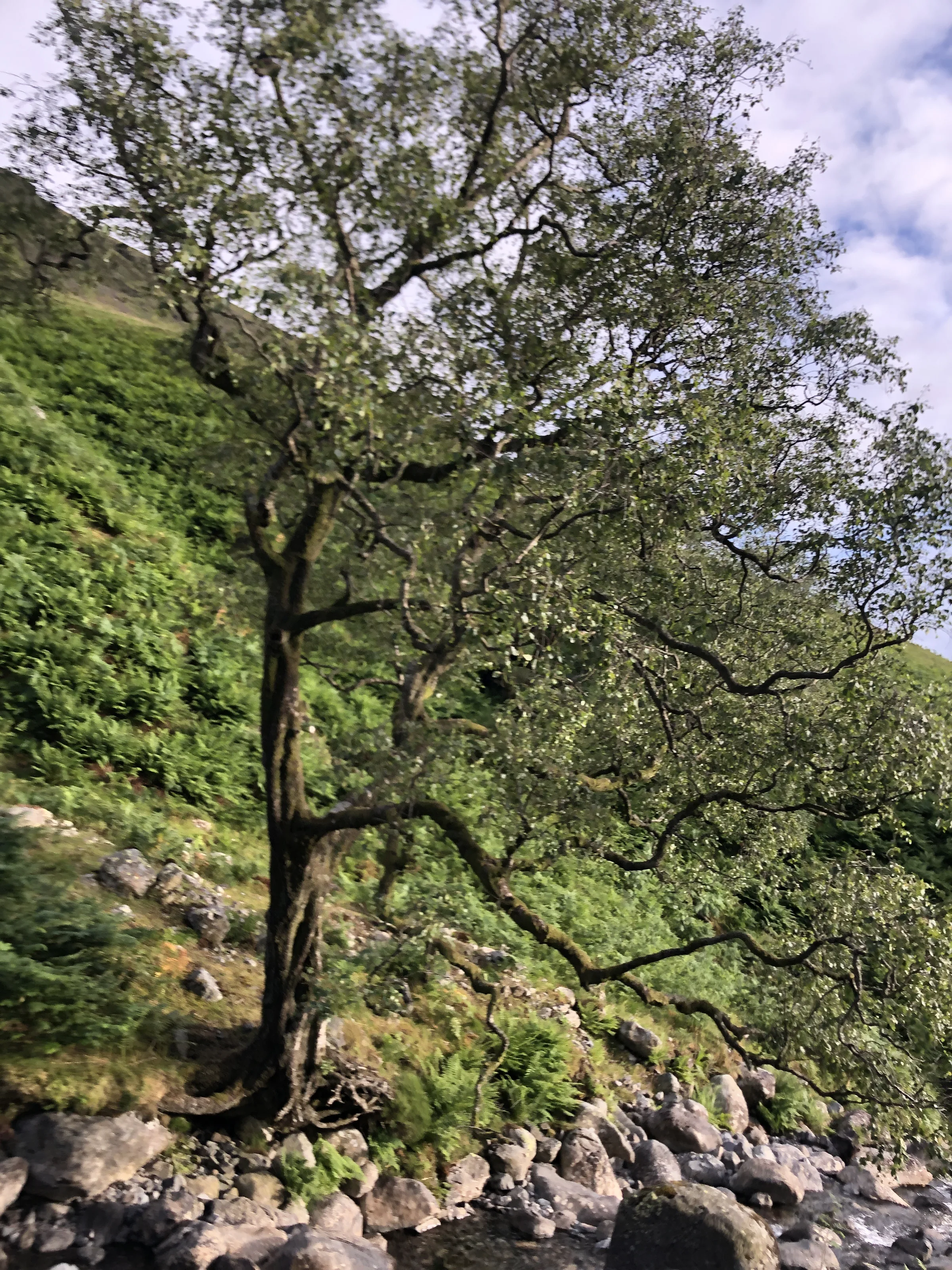
Photos
Photo credits
Photos without a credit are our own. These are used under Creative Commons licences; thank you to the photographers.
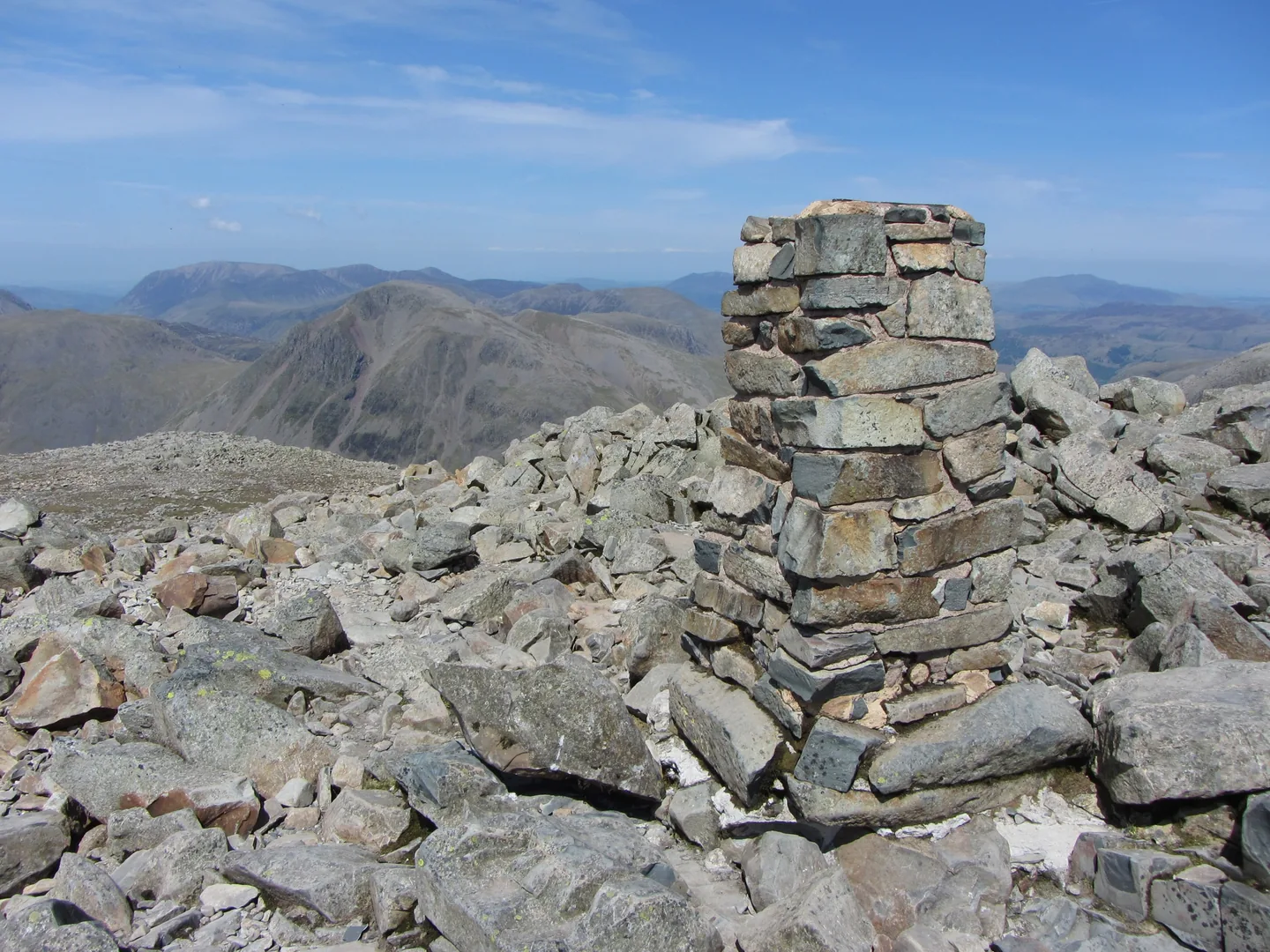
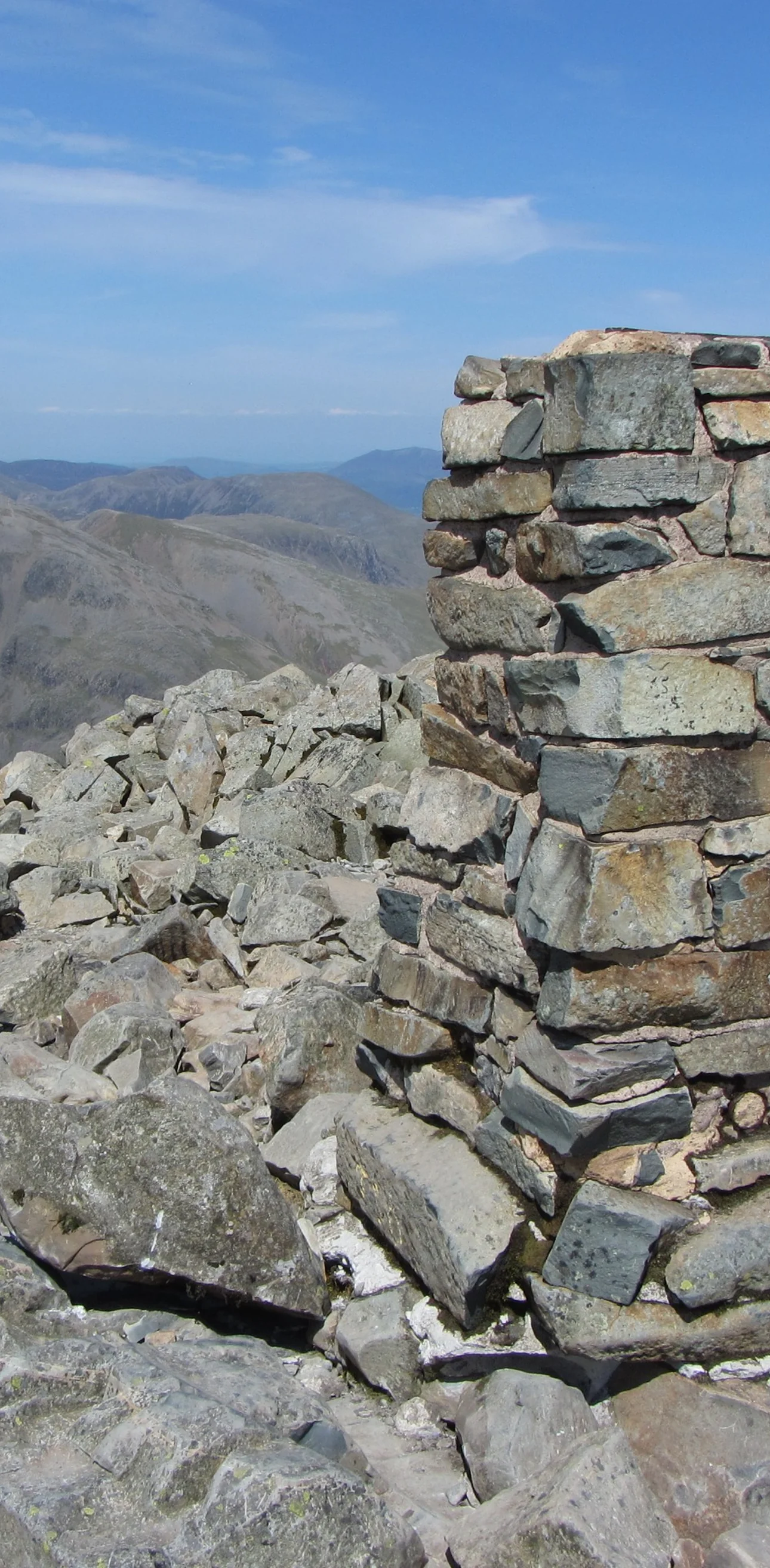
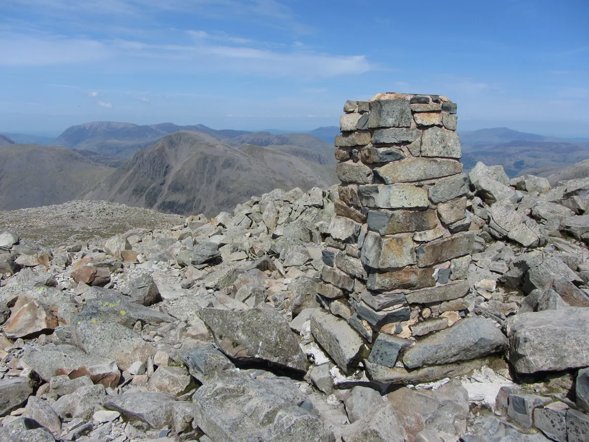 The trig point and summit cairn on Scafell PikeHero photo · by Gareth James, Wikimedia Commons (Geograph)Original photoCC BY-SA 2.0 licence
 Looking across Hollow Stones to Scafell Cragby David Medcalf, Wikimedia Commons (Geograph)Original photoCC BY-SA 2.0 licence
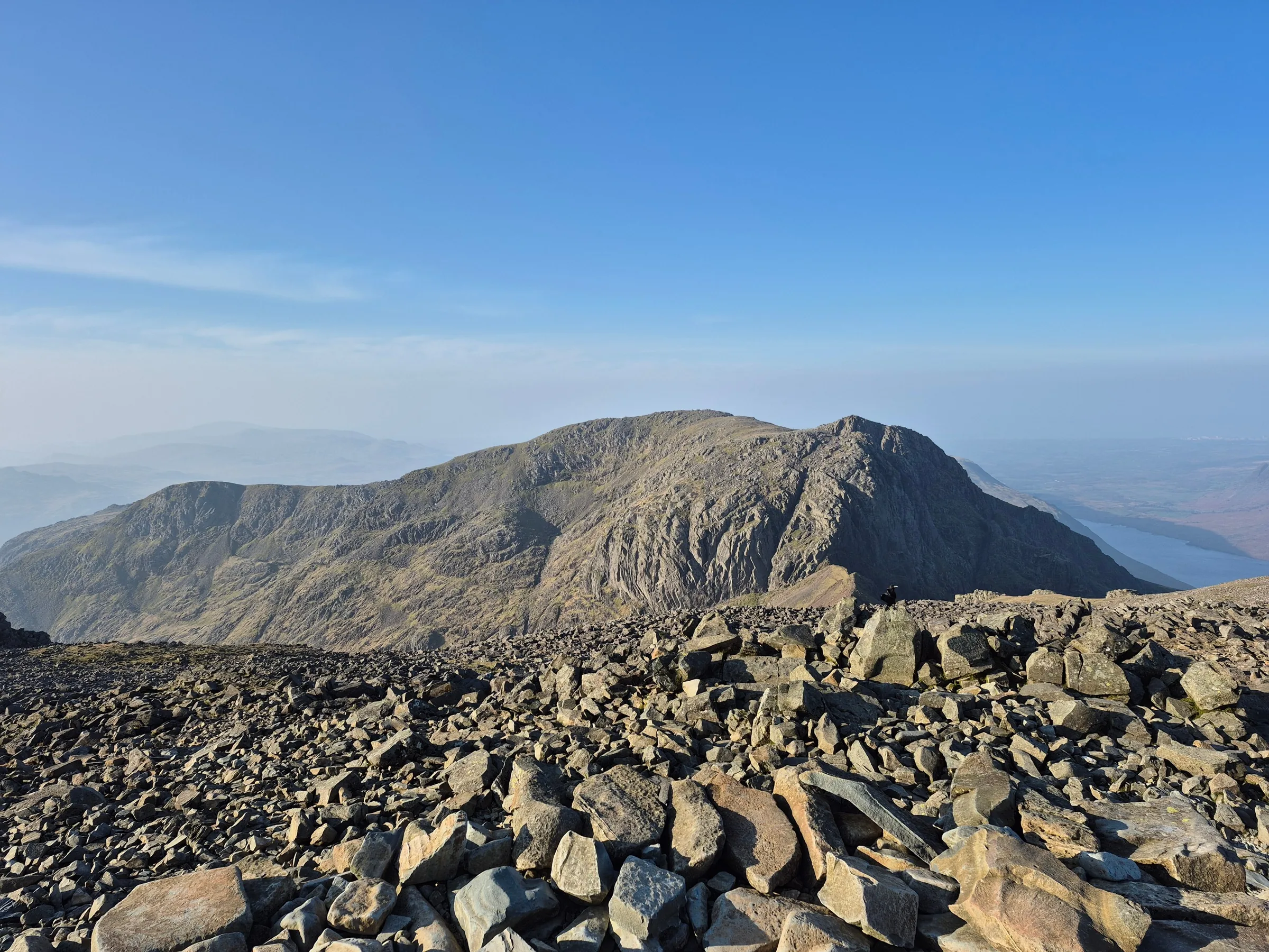
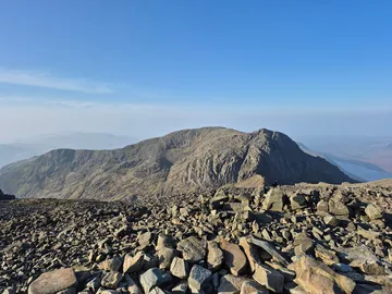 Summit area of Scafell Pikeby Steven Brown, Wikimedia Commons (Geograph)Original photoCC BY-SA 2.0 licence
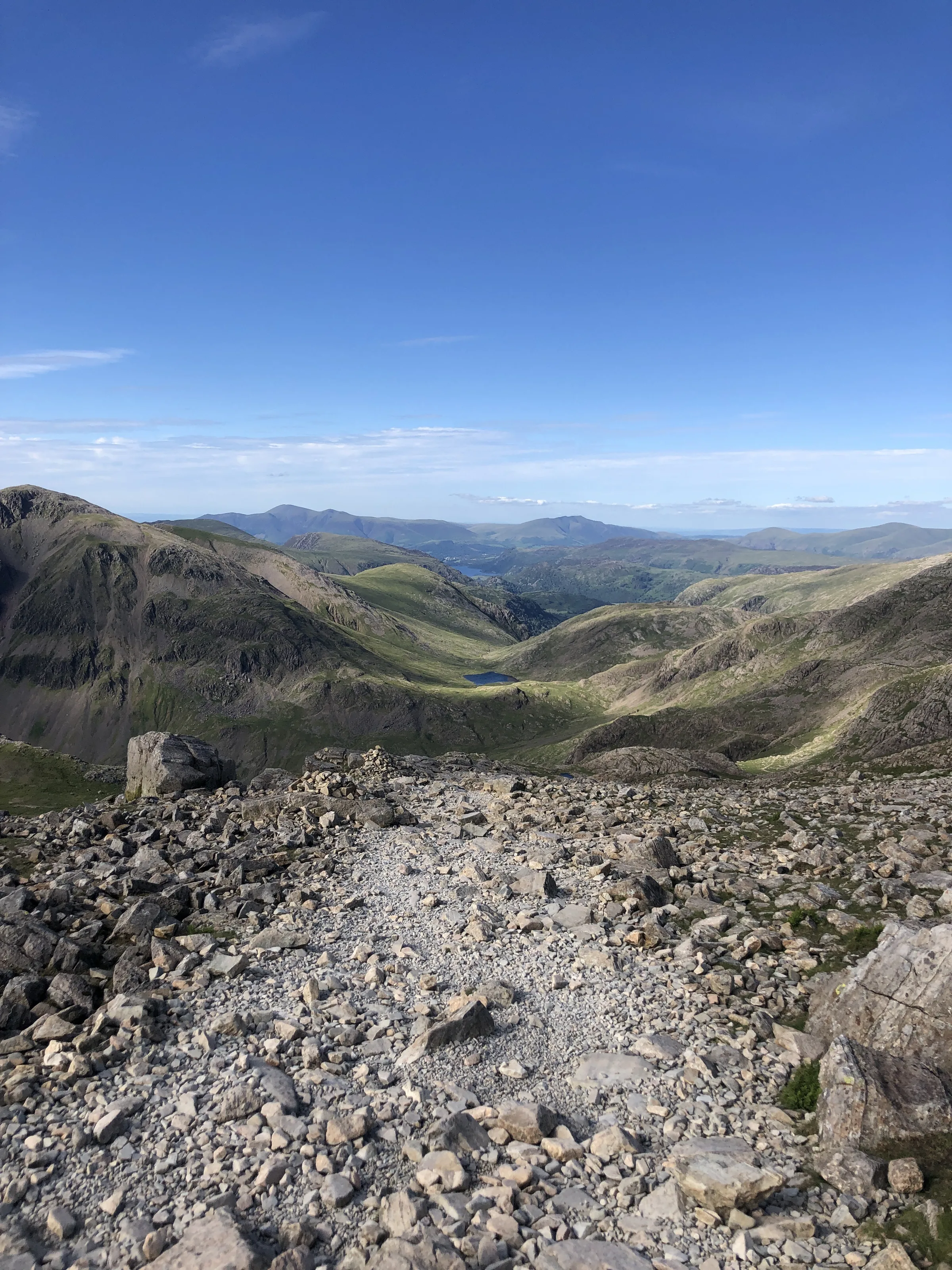
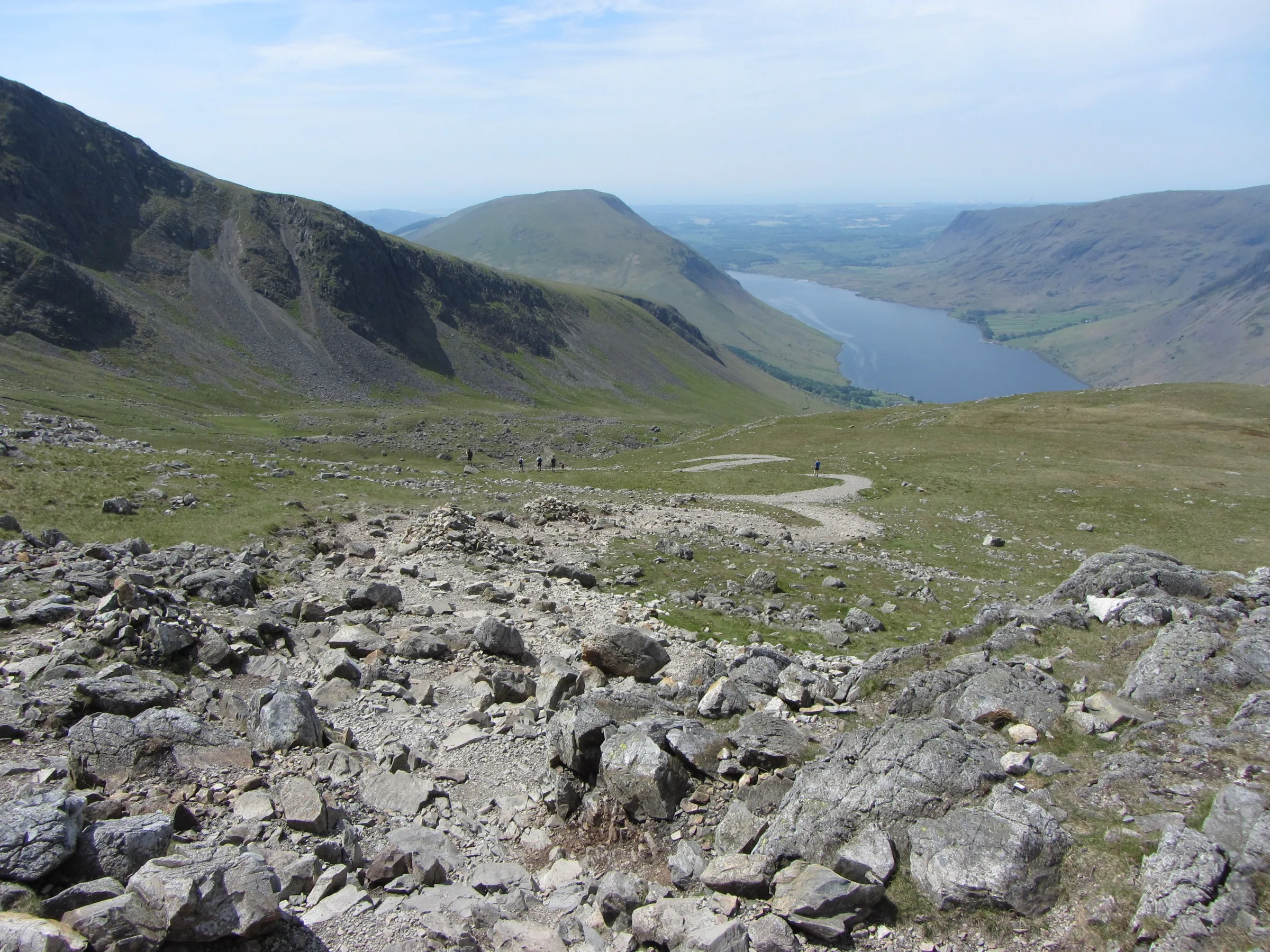
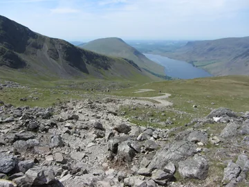 View towards Wast Water from Lingmell Colby Gareth James, Wikimedia Commons (Geograph)Original photoCC BY-SA 2.0 licence
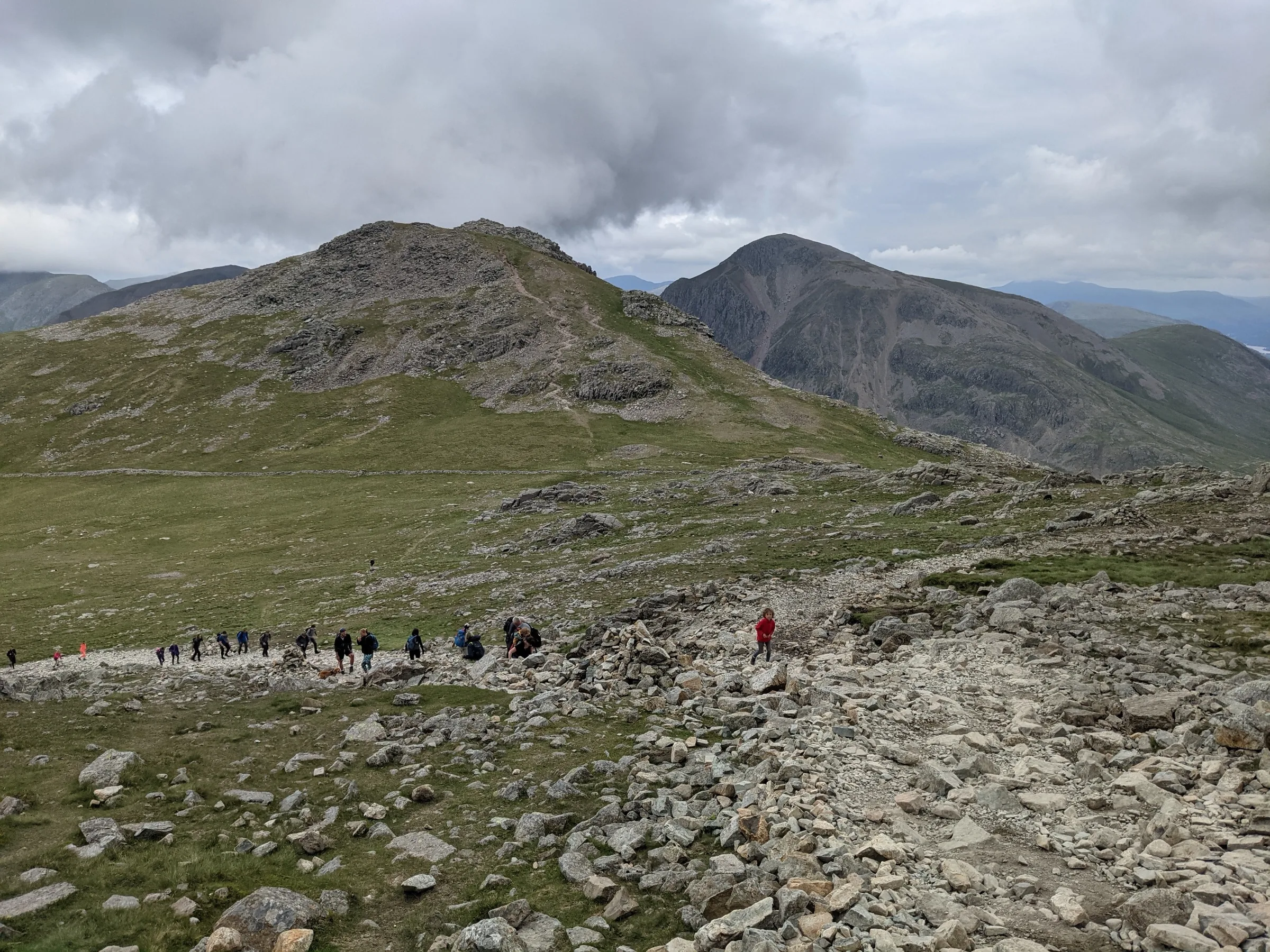
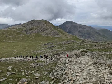 A string of people coming up from Hollow Stonesby David Medcalf, Wikimedia Commons (Geograph)Original photoCC BY-SA 2.0 licence
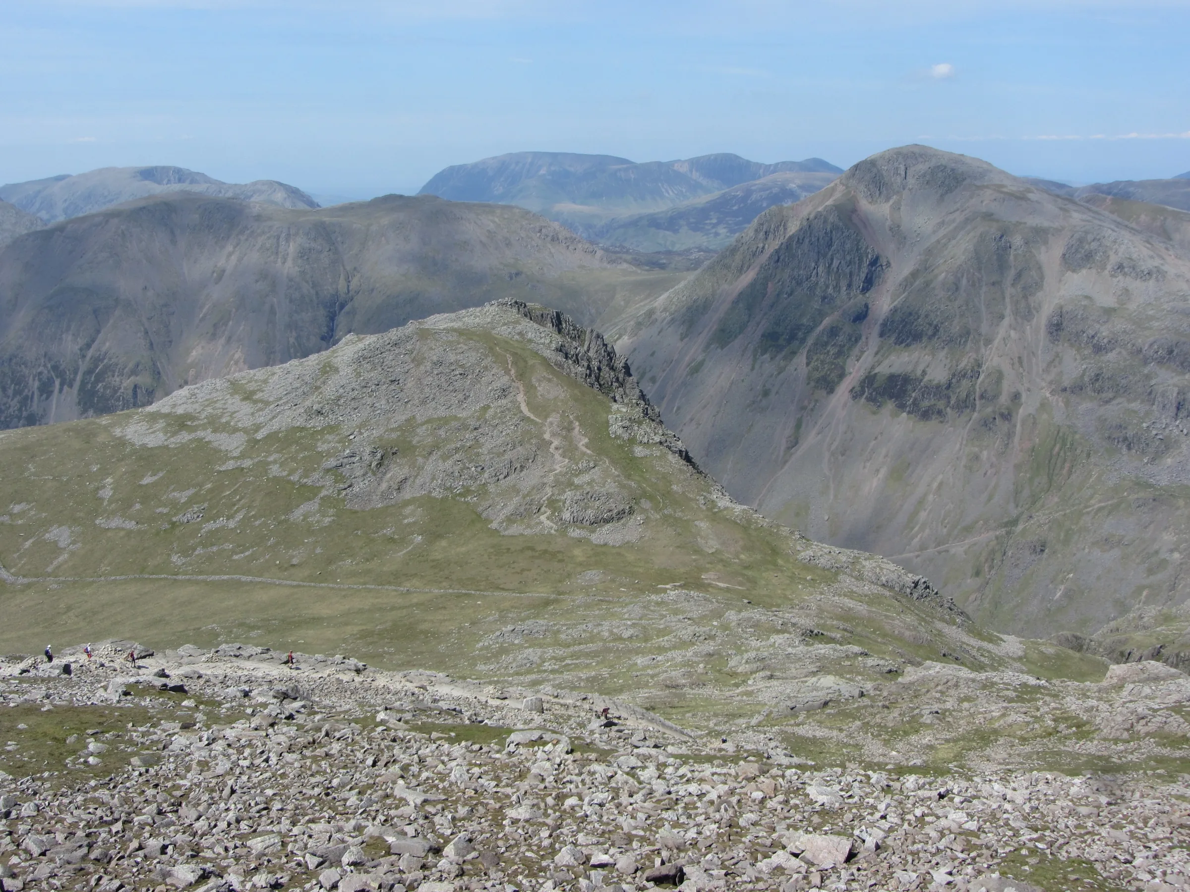
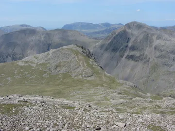 View to Lingmell and Great Gable from Scafell Pikeby Gareth James, Wikimedia Commons (Geograph)Original photoCC BY-SA 2.0 licence
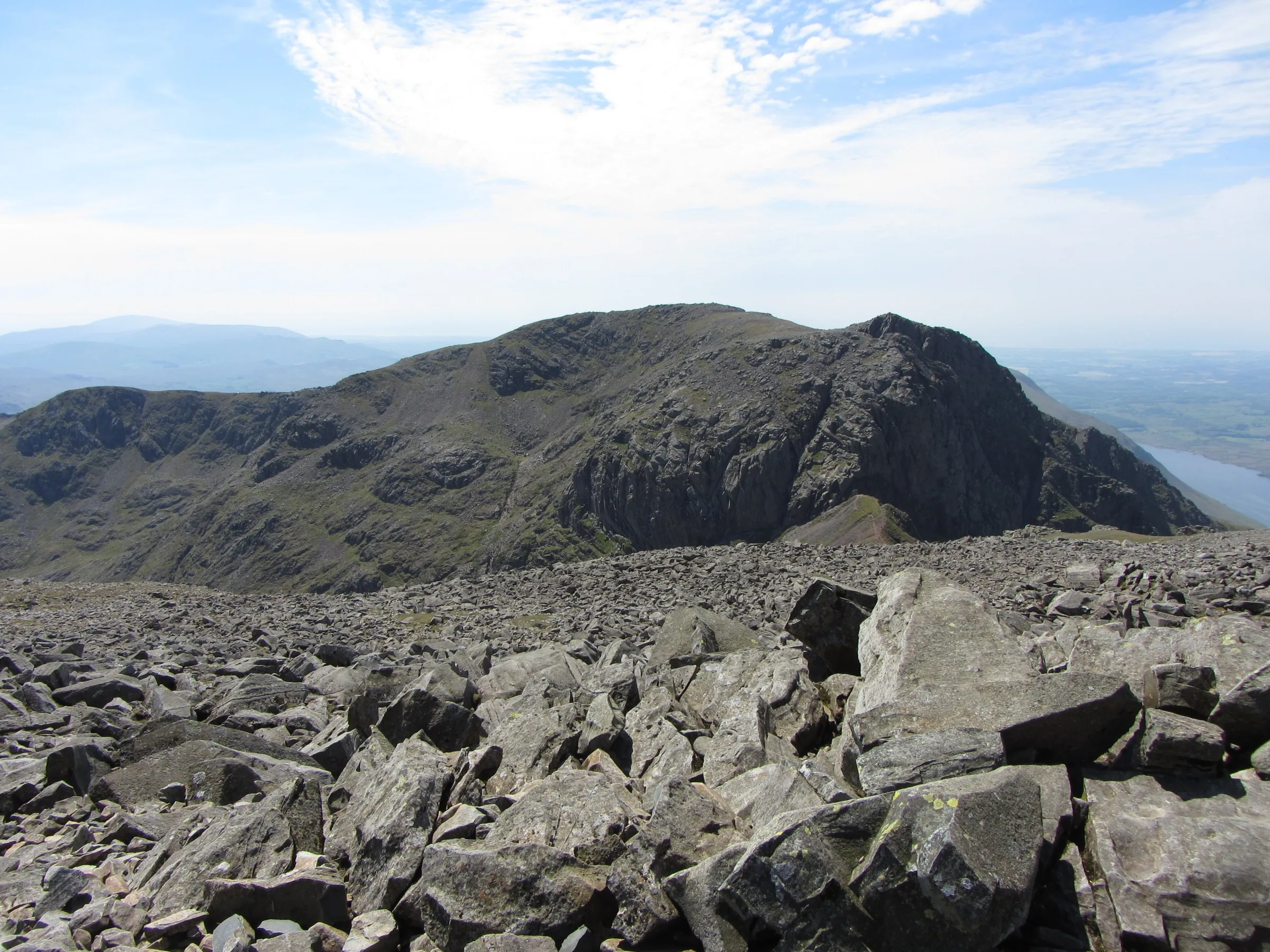
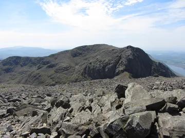 View of Sca Fell from Scafell Pikeby Gareth James, Wikimedia Commons (Geograph)Original photoCC BY-SA 2.0 licence
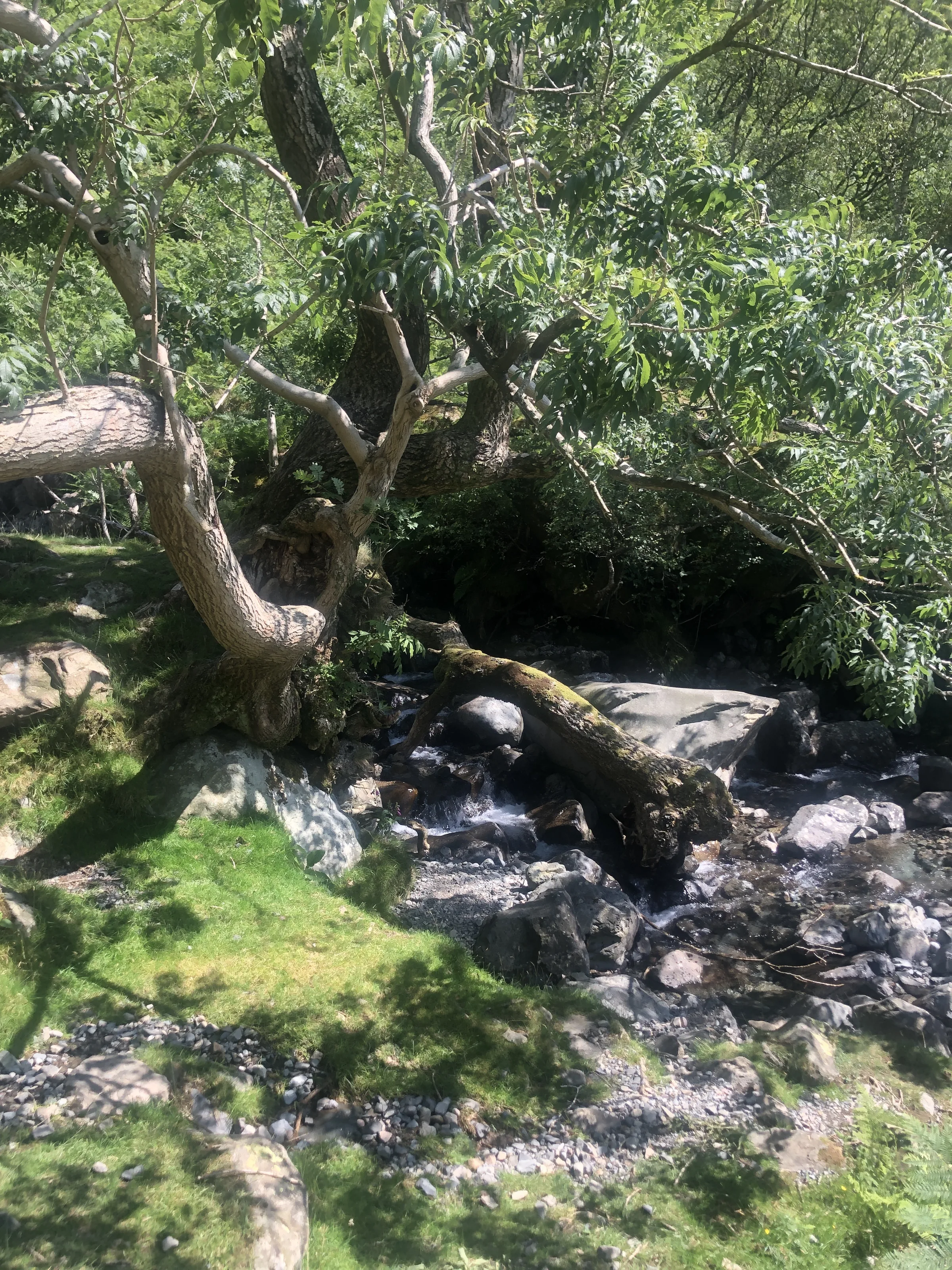
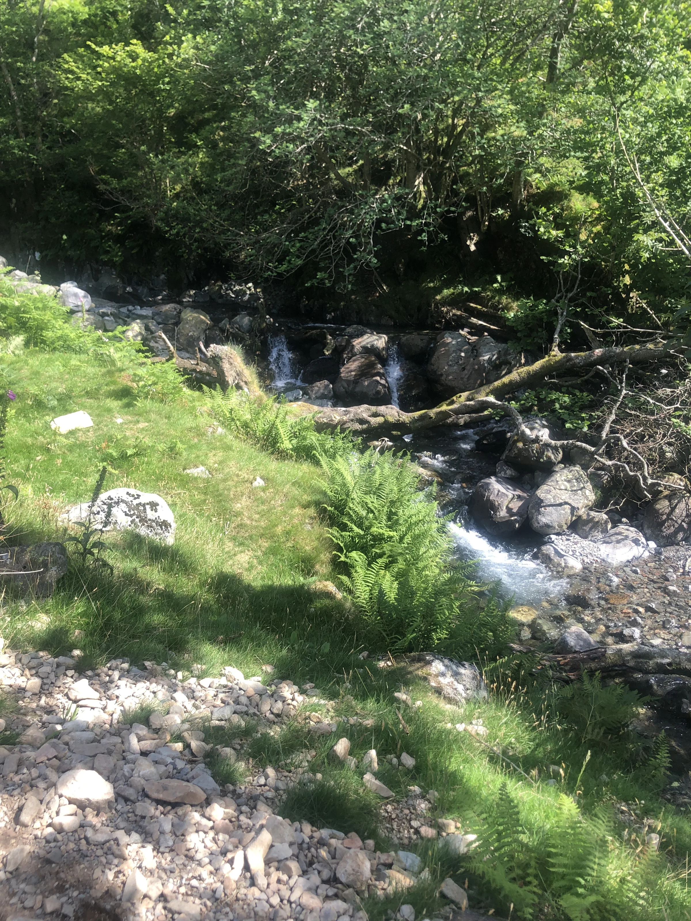
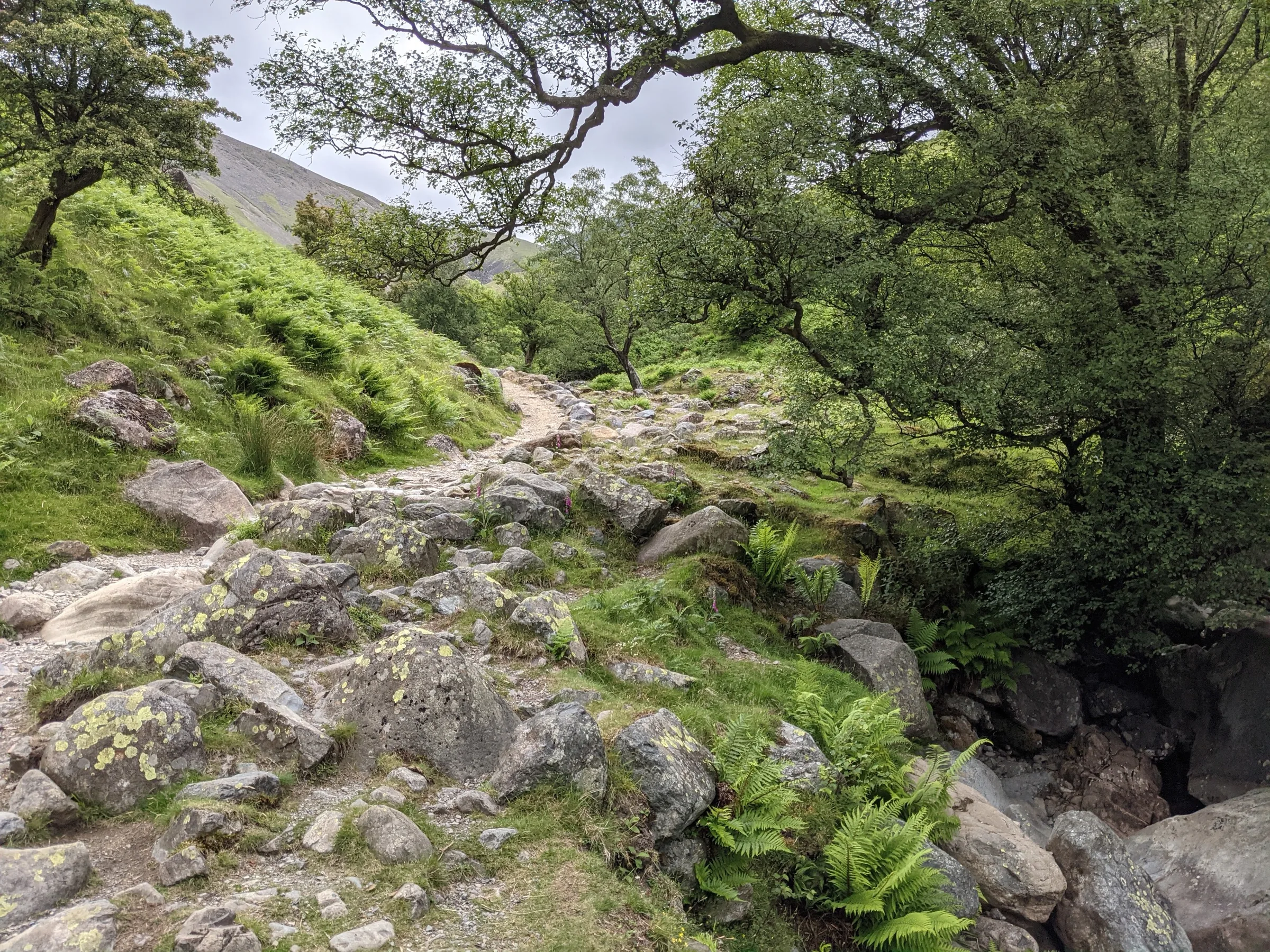
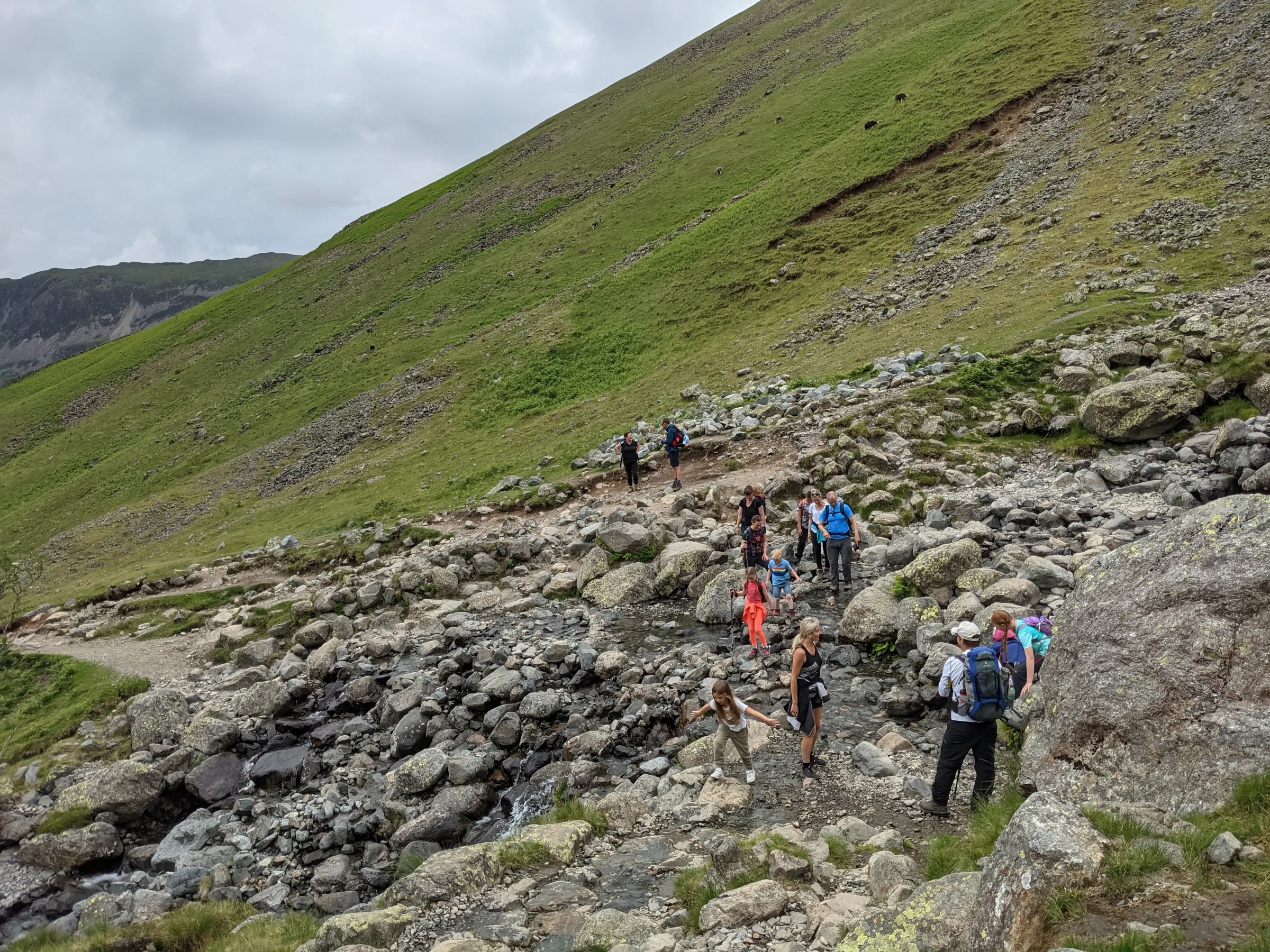
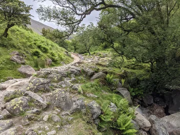 The path beside Lingmell Gillby David Medcalf, Wikimedia Commons (Geograph)Original photoCC BY-SA 2.0 licence
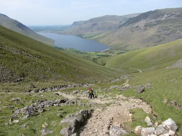 View towards Wast Water from the path to Scafell Pikeby Gareth James, Wikimedia Commons (Geograph)Original photoCC BY-SA 2.0 licence
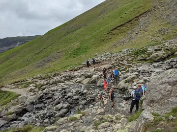 Crossing Lingmell Gill at the foot of Brown Tongueby David Medcalf, Wikimedia Commons (Geograph)Original photoCC BY-SA 2.0 licence
Hints & Tips
Bear Left at Hollow Stones
Two paths leave Hollow Stones. The one straight ahead heads up under Scafell Crag to Mickledore, the narrow ridge between Scafell Pike and Scafell. This route bears left and climbs to Lingmell Col, so look for the path rising towards the grassy dip on your left.
Keep Out of Piers Gill
Just east of Lingmell Col, Piers Gill runs through a deep ravine that is dangerous in rain and icy in winter, and several walkers have been hurt or killed there. It can look like a way down, but it isn't. On the descent, make sure you are back at Lingmell Col and heading west into Hollow Stones, and never try to follow or cross the gill.
Find the War Memorial
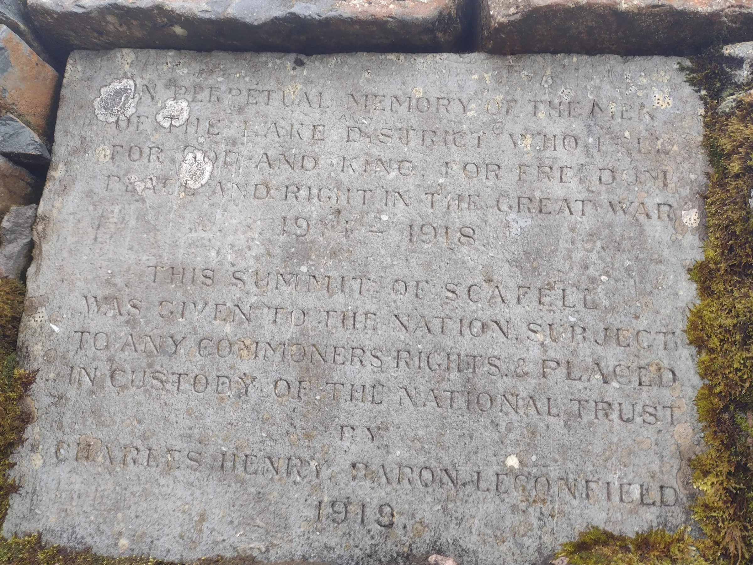
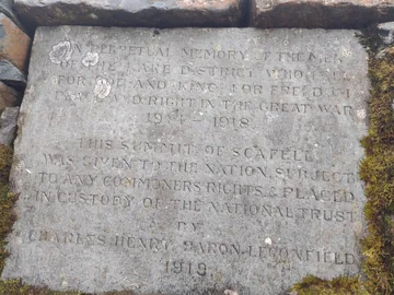
The plaque marking the gift of the summit in memory of the Lake District's fallen is set into the side of the huge summit cairn, close to the trig point. It's easy to miss among the crowds and boulders, so walk round the cairn to find it.
Busy Summer Weekends
Wasdale Head is the most popular way up England's highest mountain, and the starting point for Scafell Pike on the National Three Peaks Challenge, so on summer weekends the path can be very crowded. For a quieter day, go on a weekday or outside the summer holidays.
Interesting Facts
General
The Roof of England
At 978.1m, Scafell Pike is the highest mountain in England and one of the 214 Wainwrights, and the highest point on its summit lies buried under a cairn more than 3m tall
England's Deepest Lake
Wast Water, at the start of the walk, is almost 3 miles long and 79m (258 feet) deep, so its bed lies below sea level; in 2007 ITV viewers voted it Britain's Favourite View
A Borrowed Name
The name Scafell first belonged to the neighbouring peak now called Scafell; England's highest top was just one of 'the Pikes' until the name Scawfell Pikes was taken up in about 1830
A Three Peaks Summit
Wasdale Head is the recognised starting point for Scafell Pike on the National Three Peaks Challenge, which takes in the highest mountains of England, Scotland and Wales in 24 hours
A Summit for the Fallen
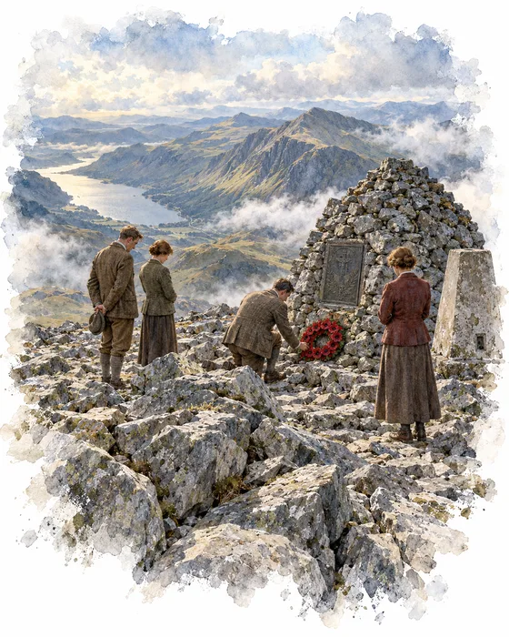
The top of Scafell Pike once belonged to Charles Henry Wyndham, 3rd Baron Leconfield. His family home was Petworth House in Sussex, but he also owned large estates in Cumberland, including Cockermouth Castle and England's highest mountain.
In 1919, the year after the First World War ended, Lord Leconfield gave the summit to the nation and put it in the care of the National Trust, in memory of the men of the Lake District who died in the war. A plaque recording his gift is set into the summit cairn near the trig point. Its words remember the men "who fell for God and King, for freedom, peace and right in the Great War 1914–1918".
The war is remembered all around this walk. Great Gable, two miles to the north across the valley, carries a better-known war memorial put up by the Fell & Rock Climbing Club. Down at Wasdale Head, a small pane in the south window of St Olaf's Church is etched with Napes Needle on Great Gable, as a memorial to the club's members who lost their lives in the war, and a silence is kept in the church at 11AM every Remembrance Sunday.
The Biggest Liar in England
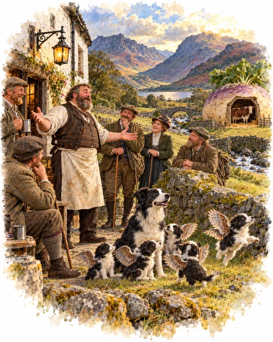
Wasdale Head likes to say it has the highest mountain, the deepest lake, the smallest church and the biggest liar in England. The liar was Will Ritson (1808–1890), landlord of the Wastwater Hotel, the inn now called the Wasdale Head Inn, who gave himself the title.
Ritson's tall tales became famous. In one, he found a wounded eagle near the inn and nursed it back to health in his hen house. One night a hound got in; the eagle was unharmed, but five months later the dog had a litter of puppies with wings. In another, Lake District turnips grew so big that people hollowed them out to use as cow sheds. His inn was also the centre of the early years of British rock climbing, made popular by Victorian climbers such as Walter Parry Haskett Smith and Owen Glynne Jones.
His memory lives on in the World's Biggest Liar competition, held each November at the Bridge Inn at Santon Bridge. Entrants get five minutes to tell the biggest, most convincing lie they can, with no props or scripts, and politicians and lawyers are not allowed to take part. The comedian Sue Perkins became the first woman to win, in 2006, and in 2013 the prize went to Mike Naylor from Wasdale, nephew of the fell runner Joss Naylor, for a tale about Wassie, the monster of Wast Water.
More Hikes
 ModerateCatbells3.6 mi · 2–3 hrs · 404m
 HardSkiddaw6.5 mi · 4–5 hrs · 870m
 HardOld Man of Coniston4.9 mi · 3–4 hrs · 585m
 HardPike of Stickle4.1 mi · 3–4 hrs · 710m
 ModerateEasedale Tarn6.9 mi · 4–4½ hrs · 600m
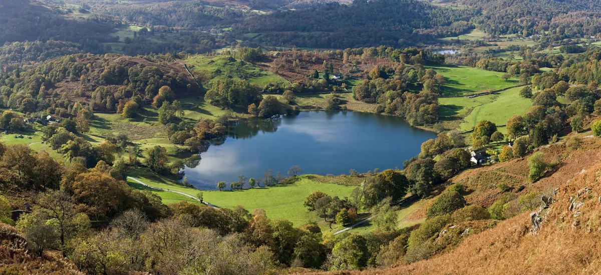 EasyLoughrigg Fell3.0 mi · 2–2½ hrs · 326m
Subscribe for updates on new hikes and National Parks
One email a month with new hikes and routes. No spam.