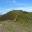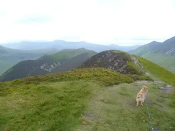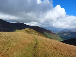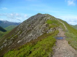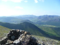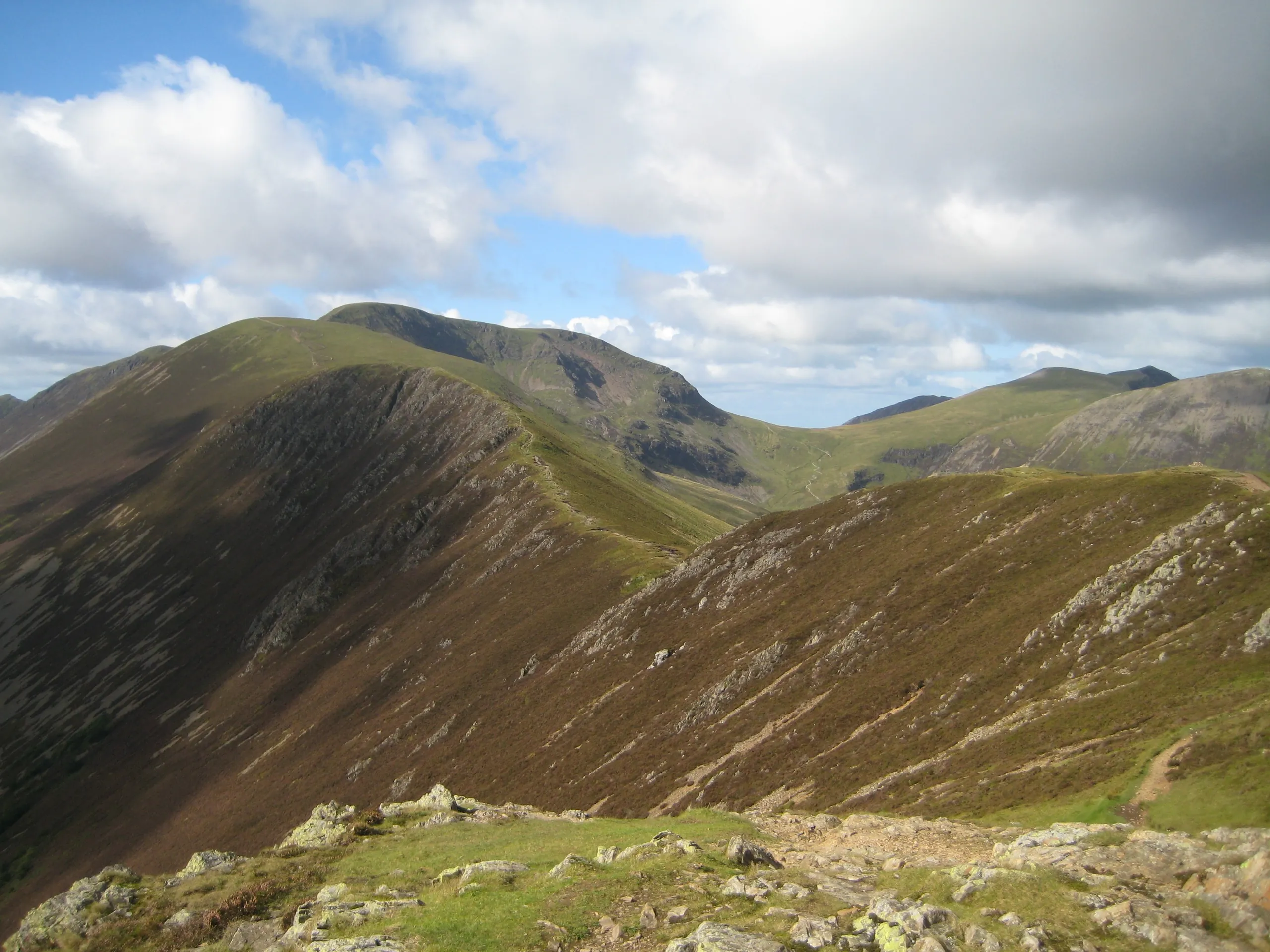

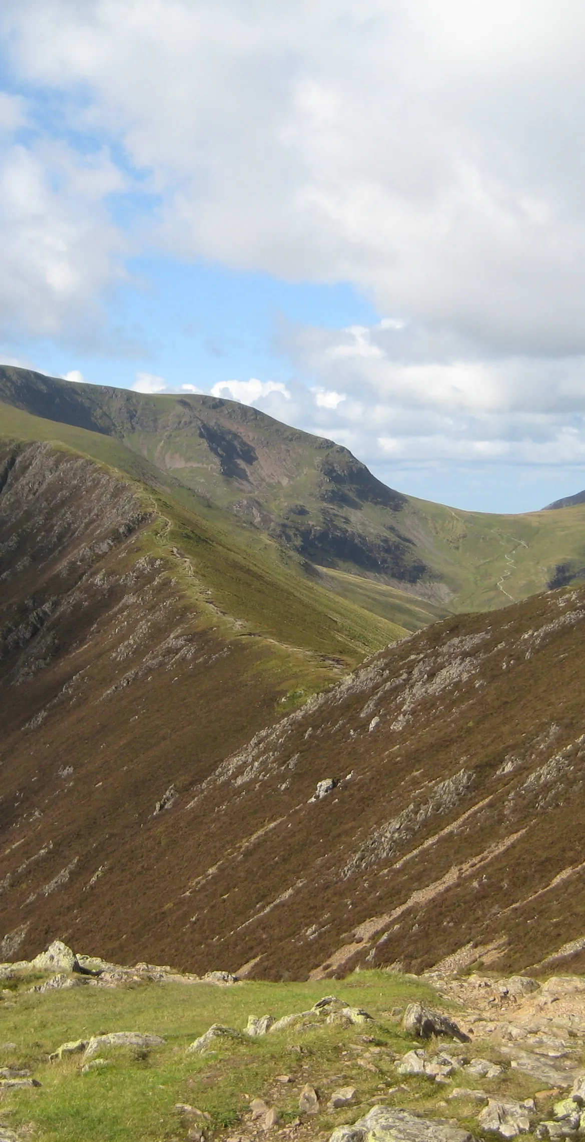


Eel Crag is the old name for the summit now usually called Crag Hill, and Ordnance Survey maps now use Eel Crag for the steep northern crags above Coledale Hause. On top there's a stony plateau with a trig point, which was Wainwright's summit, though the highest ground is slightly to the south. Among the fells between the Whinlatter and Newlands passes, only Grasmoor is higher, and below Scar Crag on the south side is Addacomb Hole, a corrie without a tarn.
New to the Wainwrights?Read our guide: What Are The Wainwrights?No feature 35 m south of trig point
Skiddaw Group mudstone and siltstone, a stony top ringed by crags on three sides.
HewittNuttallBirkettSyngeFellrangerHuMPSimm
Summit Weather
Our Route
Also on this route: Grasmoor, Wandope, Sail, Scar Crags, Causey Pike, Outerside
Safety: Routes are a guide only. Carry a map and compass and know how to use them, check the weather before you go, and turn back if in doubt. You use this route at your own risk.