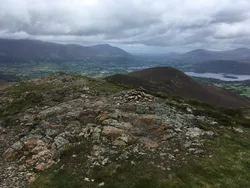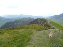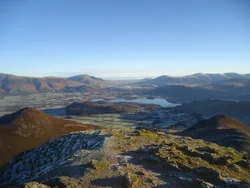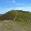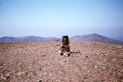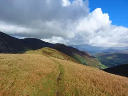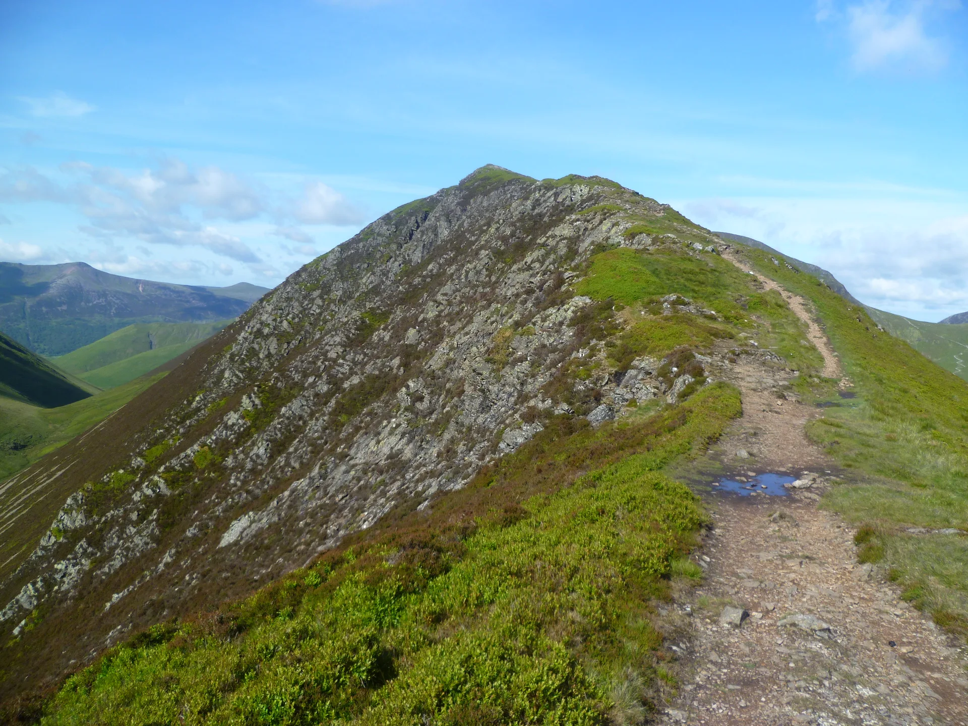


Scar Crags is a short stretch of the ridge between Causey Pike and Sail, with a grassy, often muddy top marked by a cairn. Its southern side falls in steep crags to Rigg Beck. On the gentler northern slopes, below Long Crag, lie the ruins of a cobalt mine, the only one the Lake District ever had, started in 1846 by the Keswick Mining Company. It never produced the ore that was hoped for and soon closed.
New to the Wainwrights?Read our guide: What Are The Wainwrights?Cairn
Skiddaw Group slates, with steep crags on the south and grassy slopes to Stoneycroft Gill.
HewittNuttallBirkettSyngeFellrangerSimm
Summit Weather
Our Route
Also on this route: Grasmoor, Eel Crag, Wandope, Sail, Causey Pike, Outerside
Safety: Routes are a guide only. Carry a map and compass and know how to use them, check the weather before you go, and turn back if in doubt. You use this route at your own risk.