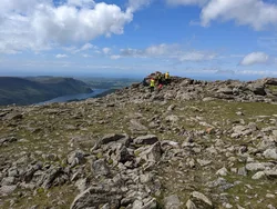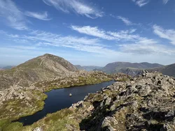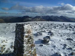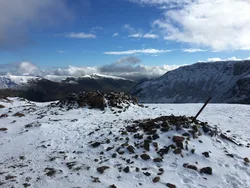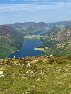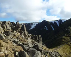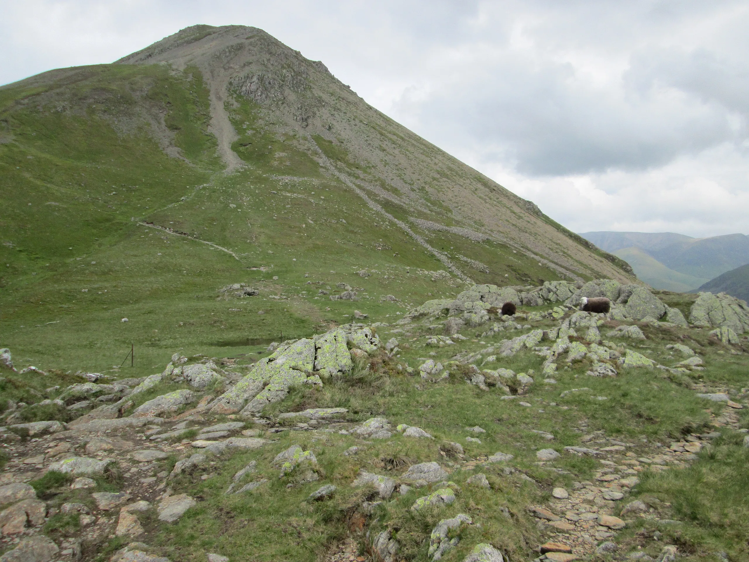

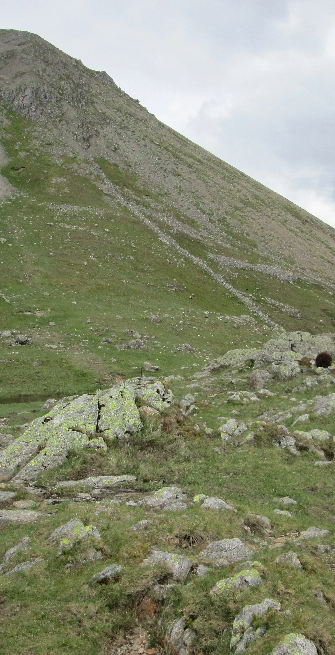


High Crag is the south-eastern end of the High Stile ridge, where the high ground suddenly breaks off into the great scree slopes of Gamlin End. A cairn marks its narrow top, with the head of Ennerdale and the Scafells filling the view south. In the late 1800s there was a small mine beneath Low Wax Knott, beside the Scarth Gap path.
New to the Wainwrights?Read our guide: What Are The Wainwrights?Southerly of two cairns
Andesite lavas of the Birker Fell Formation; rough crags above Buttermere and long scree at Gamlin End.
HewittNuttallBirkettSyngeFellrangerSimm
Summit Weather
Our Route
Also on this route: High Stile, Red Pike (Buttermere), Fleetwith Pike, Starling Dodd, Great Borne, Haystacks
Safety: Routes are a guide only. Carry a map and compass and know how to use them, check the weather before you go, and turn back if in doubt. You use this route at your own risk.