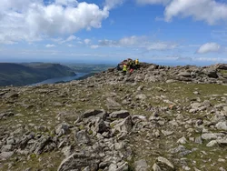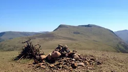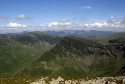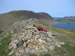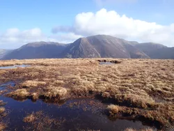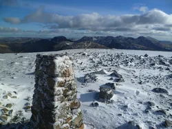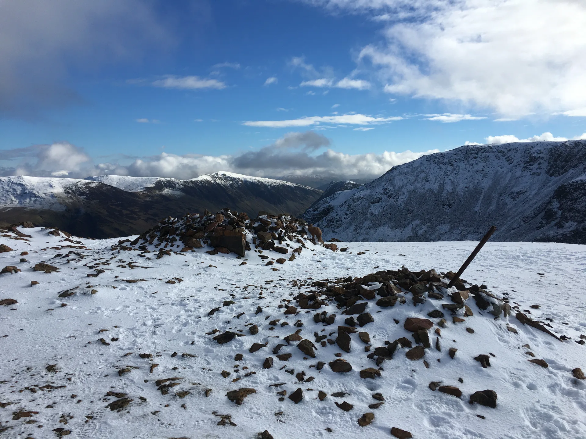


Red Pike gets its name from its colour: the granite-like rock of the Ennerdale intrusion breaks down into a reddish soil that shows plainly on the worn paths up from Bleaberry Tarn. A cairn stands on the grassy top, which looks over five lakes at once: Buttermere, Crummock Water, Loweswater, Ennerdale Water and Derwentwater. On the Buttermere side, Bleaberry Tarn sits in a deep corrie that gets no sun from November to March.
New to the Wainwrights?Read our guide: What Are The Wainwrights?Rock 8 m north-east of cairn
Pinkish granophyre of the Ennerdale intrusion weathering to red soil, with crags and corries above Buttermere.
HewittNuttallBirkettSyngeFellrangerSimm
Summit Weather
Our Route
Also on this route: High Stile, High Crag, Fleetwith Pike, Starling Dodd, Great Borne, Haystacks
Safety: Routes are a guide only. Carry a map and compass and know how to use them, check the weather before you go, and turn back if in doubt. You use this route at your own risk.