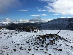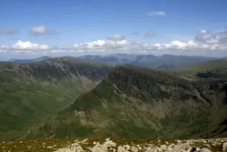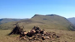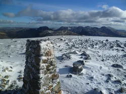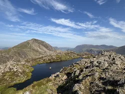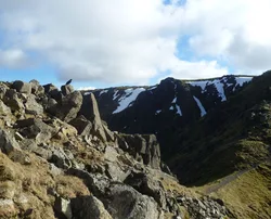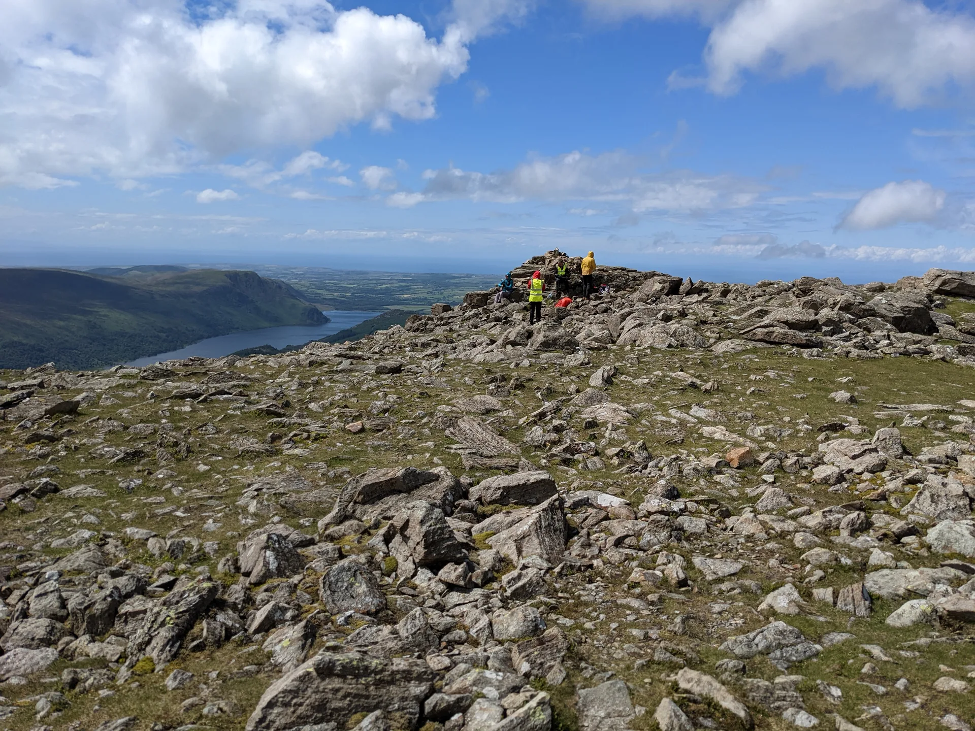


High Stile is the high point of the ridge between Buttermere and Ennerdale, and a large cairn marks its top, though a rocky top about 270 m to the east-north-east is very slightly higher. On the Buttermere side, Burtness Comb holds a bank of debris left by a rock avalanche from Grey Crag about 11,000 years ago, and under Chapel Crags lies Bleaberry Tarn, which gets no sun from November to March. The view takes in Ennerdale Water, Crummock Water and the North Western Fells.
New to the Wainwrights?Read our guide: What Are The Wainwrights?Outcrop 13 m ENE of large cairn
Mixed sandstone, tuff and andesite, with granite towards Red Pike and steep crags on the Buttermere side.
BirkettSynge
Summit Weather
Our Route
Also on this route: Red Pike (Buttermere), High Crag, Fleetwith Pike, Starling Dodd, Great Borne, Haystacks
Safety: Routes are a guide only. Carry a map and compass and know how to use them, check the weather before you go, and turn back if in doubt. You use this route at your own risk.