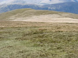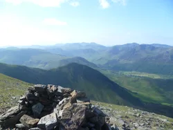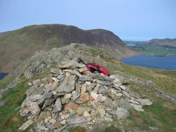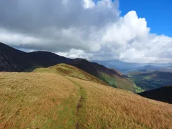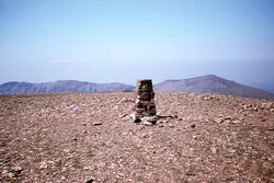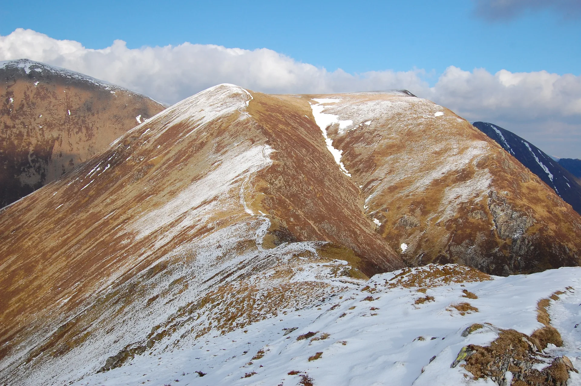


From Buttermere, Whiteless Pike looks like a neat pyramid at the end of a long, narrow ridge. Wainwright called it 'the Weisshorn of Buttermere'. The small, pointed top has loose stones and a little pile of stones, and Whiteless Edge runs north from it to Wandope. Steep slopes fall on both sides, and the view takes in Buttermere, Crummock Water and Loweswater, with Great Gable and the Scafells beyond.
New to the Wainwrights?Read our guide: What Are The Wainwrights?No feature 5 m west of small pile of stones
Skiddaw Group mudstone and siltstone, forming a narrow, steep-sided ridge with loose stones.
HewittNuttallBirkettSyngeFellrangerSimm
Summit Weather
Our Route
Also on this route: Grisedale Pike, Hopegill Head, Whiteside, Barrow, Rannerdale Knotts
Safety: Routes are a guide only. Carry a map and compass and know how to use them, check the weather before you go, and turn back if in doubt. You use this route at your own risk.