

Hill data: The Database of British and Irish Hills v18.6 (CC BY 4.0)Height504 m1,654 ft
Grid RefNY 34754 09235
OS MapOL5 & OL7OS Explorer
BookEastern FellsBook 1
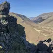
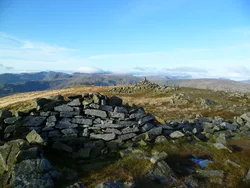
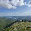
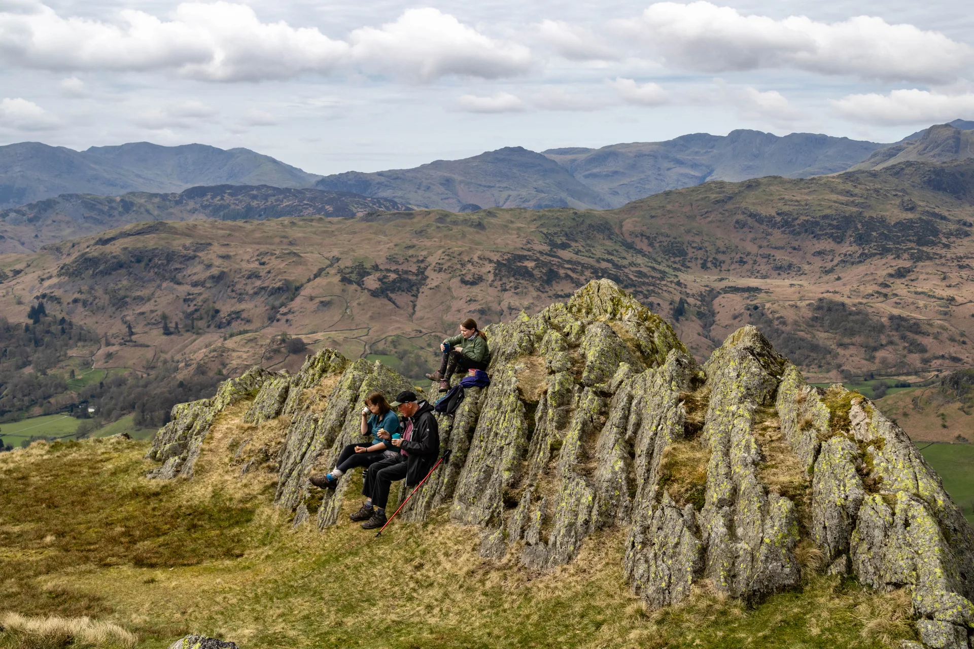
Stone Arthur is a rocky outcrop on the south-west ridge of Great Rigg, and its top, a short wall of rock that looks a bit like a ruined castle, is easy to pick out from Grasmere village below. Higher up Greenhead Gill are the remains of Grasmere Lead Mine, worked by the Mines Royal from 1564 to 1573. From the summit there's a fine view over Grasmere to Easedale Tarn.
New to the Wainwrights?Read our guide: What Are The Wainwrights?Summit
Outcrop
Rock & Ground
Pebbly sandstone and breccia forming a rocky tor, with crags on the north-west side.
Also On These Lists
BirkettSyngeFellranger
Summit Weather
Our Route
Distance9.9 mi15.9 km
Ascent1,260 m4,130 ft
Time6h 05mwalking
Start & FinishStock Lane Car & Coach Park car parkNY 3394 0726 · circular route
DirectionsAlso on this route: Fairfield, Great Rigg, Seat Sandal, Steel Fell
Safety: Routes are a guide only. Carry a map and compass and know how to use them, check the weather before you go, and turn back if in doubt. You use this route at your own risk.