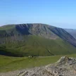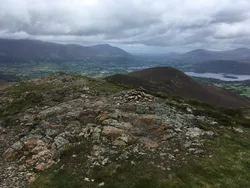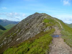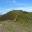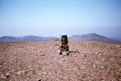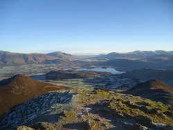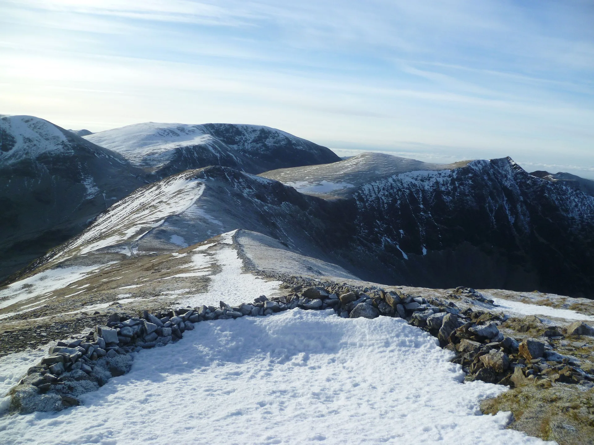


Grisedale Pike rises to a narrow, cairned top at the end of a long ridge climbing west from Braithwaite. On clear days the view runs from the Isle of Man and Slieve Donard in Northern Ireland to the Southern Uplands of Scotland and Cross Fell in the Pennines. Below its southern slopes in Coledale is Force Crag mine, which worked lead, zinc and barytes and was the last mine of its kind in the Lake District when it closed in 1990.
New to the Wainwrights?Read our guide: What Are The Wainwrights?Cairn
Skiddaw Group mudstone and siltstone that breaks into slaty scree, with conifer plantations on the north side.
HewittNuttallBirkettSyngeFellrangerMarilynSimm
Summit Weather
Our Route
Also on this route: Hopegill Head, Whiteside, Whiteless Pike, Barrow, Rannerdale Knotts
Safety: Routes are a guide only. Carry a map and compass and know how to use them, check the weather before you go, and turn back if in doubt. You use this route at your own risk.