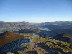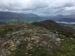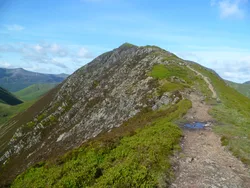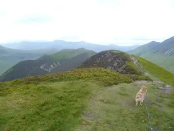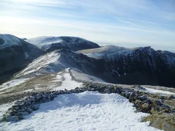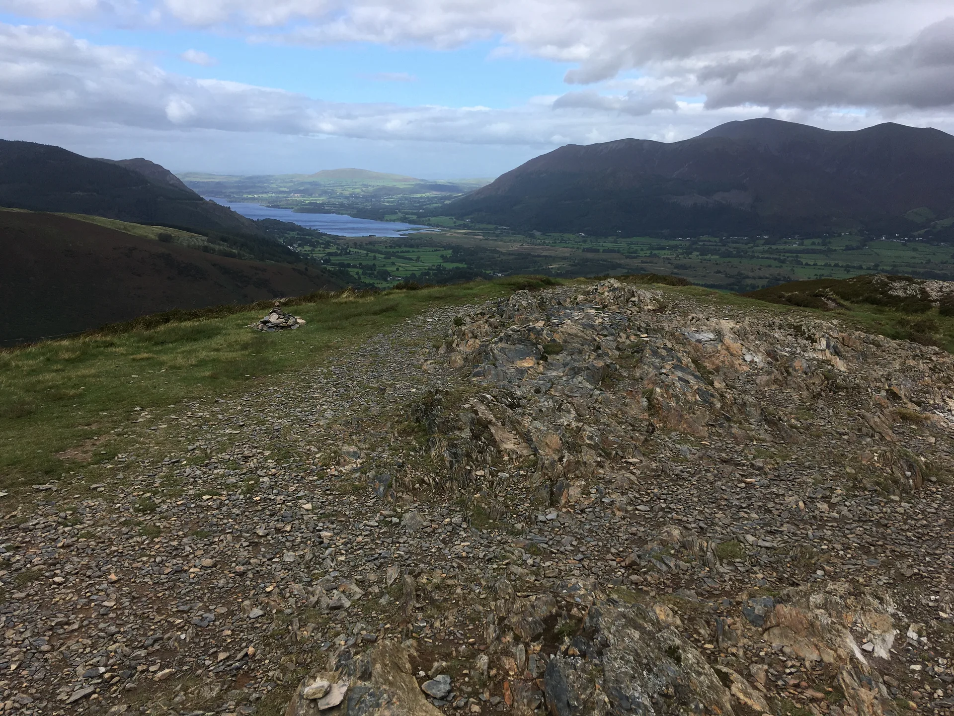


Barrow's name comes from Old English and simply means a hill or long ridge, which suits this heathery fell between Newlands and Braithwaite. Lead was mined here from the 17th century until 1888, and the pale spoil heaps on its eastern foot still show from far away. The top is grassy with a small cairn, and the all-round view takes in Derwentwater, the Helvellyn range and Skiddaw above Keswick.
New to the Wainwrights?Read our guide: What Are The Wainwrights?No feature 5 m NNE of small cairn
Skiddaw Group mudstone and siltstone with a band of greywacke sandstone, mostly cloaked in heather.
BirkettSyngeFellranger
Summit Weather
Our Route
Also on this route: Grisedale Pike, Hopegill Head, Whiteside, Whiteless Pike, Rannerdale Knotts
Safety: Routes are a guide only. Carry a map and compass and know how to use them, check the weather before you go, and turn back if in doubt. You use this route at your own risk.