



Contents
Overview
Snow was blowing across the fell on 30 January 1942 when a Polish crew's Wellington bomber flew into the southern end of Buckden Pike. Five of the six men aboard died, and the rear gunner who survived went on to build a memorial cross where they fell. It still stands on the moor just south of the summit, and it's the reason many people climb this 702m fell at the head of Wharfedale. On a clear day the top looks west to Pen-y-ghent, Ingleborough and Whernside, and east to Great Whernside, Wharfedale's highest peak, just 2m higher.
Out of the National Park car park at the top of Buckden village, the loop climbs north on Buckden Rake, a stony track up through Rakes Wood, then turns right onto a bridleway that slants up across Cow Close. A steeper, stepped path beside a dry stone wall leads to the summit trig point at about 2.3 miles. From there a flagged path follows the wall south across the plateau to the memorial cross, then a short, boggy stretch brings you to a gate and the start of the descent. Walden Road then drops about 2 miles down Starbotton Fell above Cam Gill Beck into the village of Starbotton. The last 2½ miles are the easiest: over the River Wharfe on a footbridge and north along the Dales Way through riverside fields, back over Buckden Bridge to the car park.
Go prepared, stay safe,
and enjoy the hike!
Key Info
Crowds
Moderate
This circular from Buckden, over the summit and down to Starbotton, is one of the most popular and well-trodden ways up Buckden Pike, and the Buck Inn and the Fox and Hounds draw walkers at the end of the day.
When it gets busy
- Fine weekends and holidays on this well-trodden loop
- Race day, the third Saturday in June, when the Buckden Pike Fell Race coincides with the Buckden village gala
For a quieter walk
- Start early: you may have the path to yourself
- Go on a weekday
Our crowd rating is for a typical sunny weekend in spring or summer, in the middle of the day. Timing makes a big difference, so even a busy walk can be quiet early, late or midweek.
The Route
Disclaimer: Route information and GPX files are provided for general guidance only. Conditions can change, so always use your own judgement and navigate responsibly. See our Terms of Use & Disclaimer for more information.
Route Guide
- 1
Up Buckden Rake0.7 mi · 123m upLeave the car park by the gate at its northern end (the opposite end from the entrance), signed for Cray High Bridge and Buckden Pike. The stony track climbs steadily through Rakes Wood, with views opening up west over Wharfedale and north-west towards Hubberholme, then passes through a couple of gates and levels out. At about 0.7 miles, where the track curves right, go straight on through a gate and turn right onto the bridleway signed Buckden Pike.
- 2
Across Cow Close0.9 mi · 154m upFollow the path diagonally uphill across the field to a gate in the top left-hand corner, then keep climbing on a grassy path across the open hillside known as Cow Close. The path's diagonal line keeps the gradient steady. After about half a mile, craggy rocks appear on your right and the grass gives way to a rockier trail.
- 3
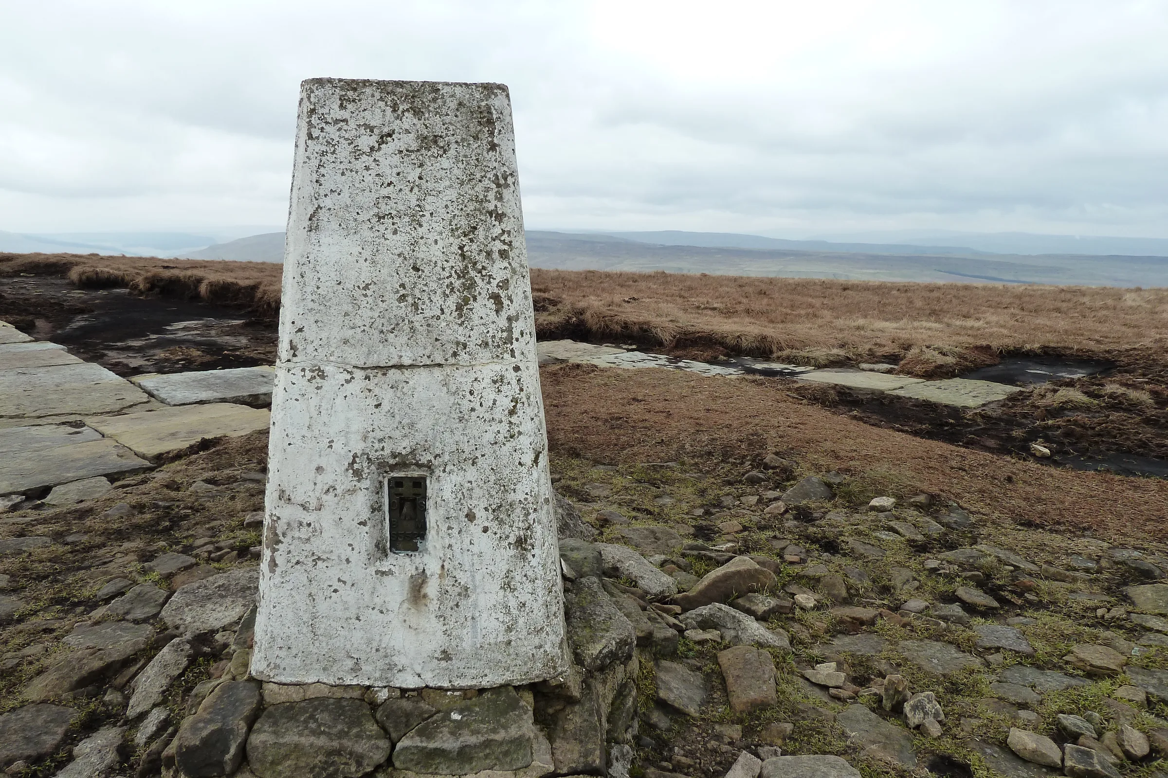
Steps to the Summit0.7 mi · 174m up · 1m downKeep climbing diagonally for another half mile or so until the path meets a dry stone wall. From here it heads much more directly uphill beside the wall, first on large stone steps and then on paved slabs near the top. The trig point and a summit seat on Buckden Pike's 702m top come at about 2.3 miles.
- 4
Along the Wall to the Cross0.6 mi · 3m up · 9m downKeep the trig point on your right and follow the flagged path south beside the wall, signed Suggested Route to War Memorial. Stay on the same side of the wall, crossing a couple of ladder stiles. After just over half a mile across the plateau, a ladder stile takes you over the wall to the Polish airmen's memorial cross.
- 5
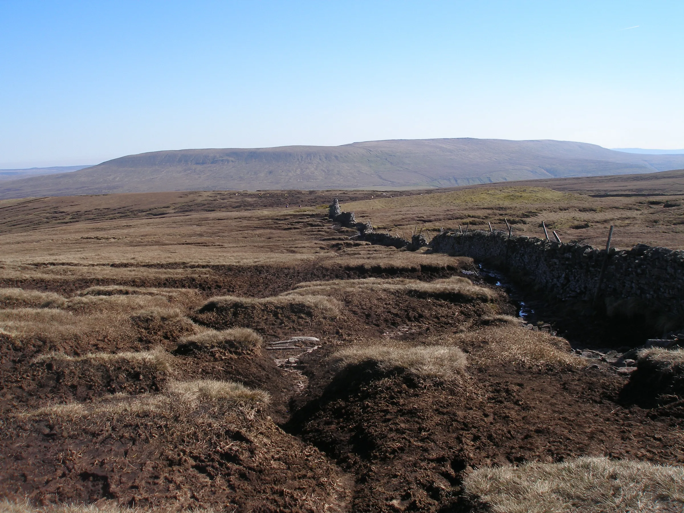
Through the Peat to the Gate0.2 mi · 37m downFrom the cross, carry on with the wall on your right. This quarter-mile stretch is peat bog and is often very wet; stay close to the wall or weave a little to the left round the worst of it. At the end of it, by a boundary stone, turn right through a gate in the wall.
- 6
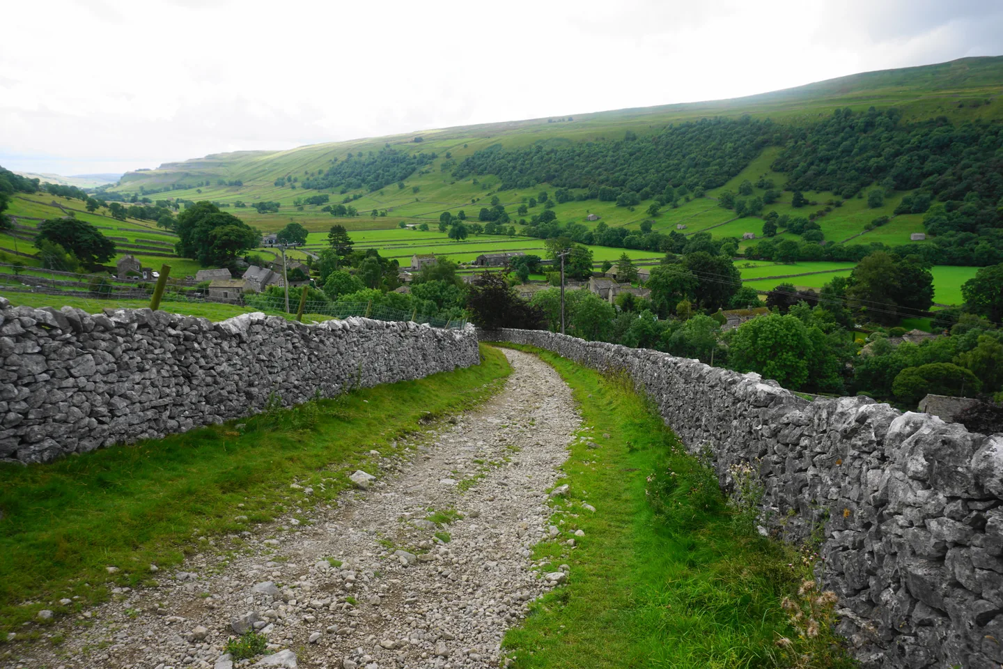
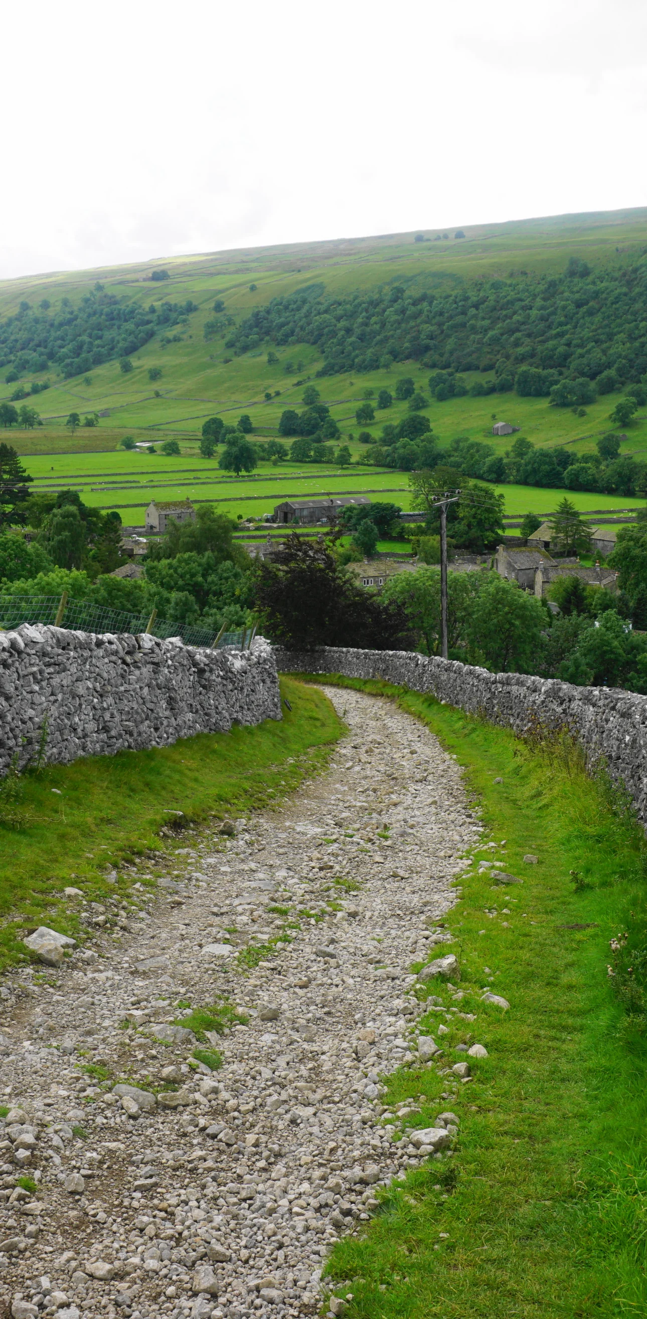
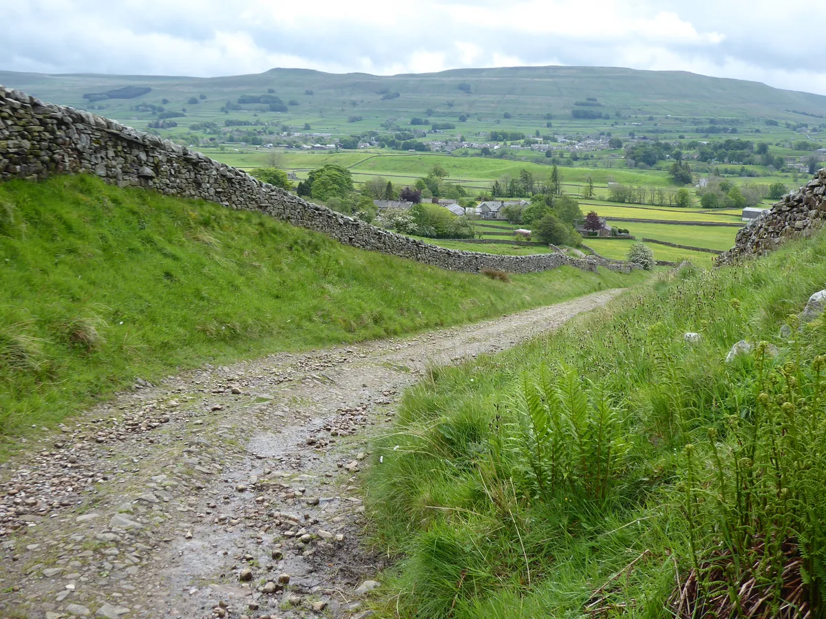
Down Walden Road2.3 mi · 425m downFollow the wall for a short way, then head straight on down Starbotton Fell on a clear path marked by wooden waymarker posts and cairns, passing the ruins of a small building at about 3.3 miles. Go through a gateway onto Walden Road, which drops for nearly 1½ miles above the valley of Cam Gill Beck on your left; lower down the track can be badly rutted. At a signposted junction at about 4.9 miles, follow the route to Starbotton rather than Buckden Lead Mine. The track ends with a steep concrete section; turn left over the bridge across Cam Gill Beck and follow the lanes through Starbotton to the B6160 at the southern end of the village.
- 7
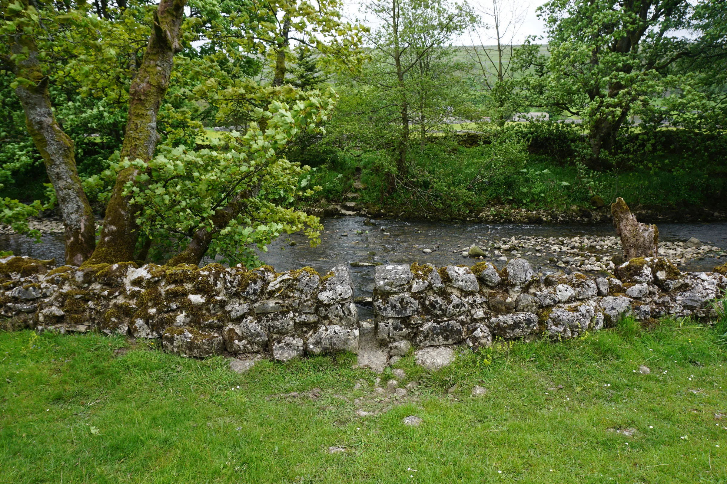
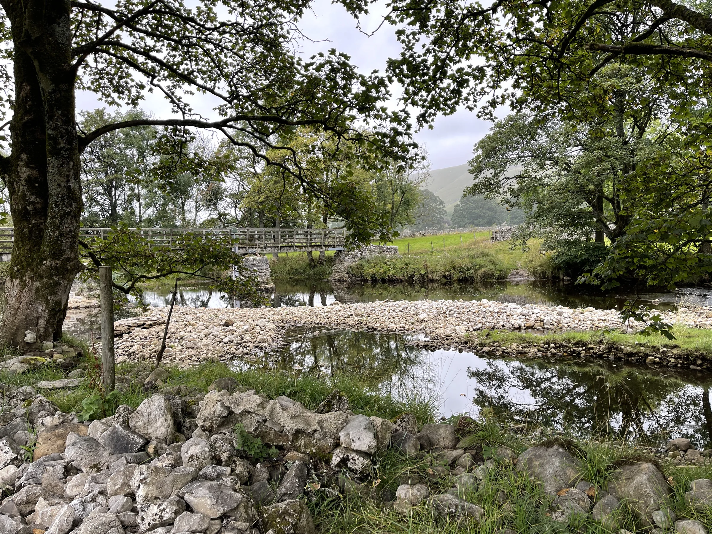
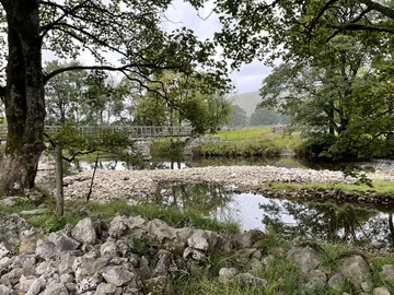
Over the Wharfe0.2 mi · 14m downAs you leave Starbotton, turn right at the fingerpost for Arncliffe, Kettlewell and Buckden and follow the walled lane down to the River Wharfe. Cross the footbridge and turn right at the signpost for Buckden, joining the Dales Way.
- 8
Home on the Dales Way2.4 mi · 46m up · 14m downFollow the Dales Way north through riverside fields. After about a third of a mile, where the river bends right, keep straight on along the path; it comes back close to the river a little under a mile later, and further on a footbridge takes you over Step Gill. When the path widens into a stony track, watch for a waymarked path dropping down on your right, signed Buckden, and follow the river for about half a mile to Dubb's Lane at about 7.75 miles. Turn right over Buckden Bridge and follow the road up into Buckden and back to the car park.
Use the route on OS Maps, AllTrails or Komoot to navigate on the day; this guide is for planning.
Parking
The walk starts from the Yorkshire Dales National Park Authority car park at the northern end of Buckden village, just off the B6160 (SD 942 773 · Postcode BD23 5JA; use the Directions button above to get to the car park itself). From 1 April 2026 it costs £3.80 for up to 2 hours, £6 for over 2 hours and £7 for up to 24 hours. Most people take 3½ to 4½ hours on this loop, so you'll need the over-2-hours ticket. The machines are card only; if you want to pay cash, you can do it at the National Park Visitor Centres in Grassington, Malham, Hawes and Aysgarth Falls during opening hours. There are toilets in the car park, open 24 hours and including a RADAR toilet, and EV charge points. Check the latest prices here.
Buses stop in the car park: the Upper Wharfedale community bus on weekdays and the Dalesbus 874 on Sundays. Check times before you travel.
The car park isn't gritted or cleared of snow in winter, and overnight stays in vehicles aren't allowed.
*Prices correct at time of writing; check before you travel.
Facilities & Hospitality
Public toilets in the National Park car park at the start and finish, open 24 hours, including a RADAR accessible toilet.
A Georgian coaching inn on the green in Buckden, a few minutes' walk down from the car park, with lunchtime and evening meals, 11 en-suite rooms and Wi-Fi. Dogs on leads are welcome. It reopened under new management after a short closure in November 2025, so check before you travel.
A family-run, 400-year-old pub just off the route in Starbotton, with flagstone floors, an open fire, four cask ales, home-cooked food and four letting rooms. It's family and dog friendly, closed on Mondays and Tuesdays, and often closes for two weeks in November and January.
Weather
Hike Videos
Note: Videos are made by other walkers, not The Lost Peak. They may not follow this exact route, and paths, conditions and facilities may have changed since filming.
Photo Gallery
Photos
Photo credits
Photos without a credit are our own. These are used under Creative Commons licences; thank you to the photographers.
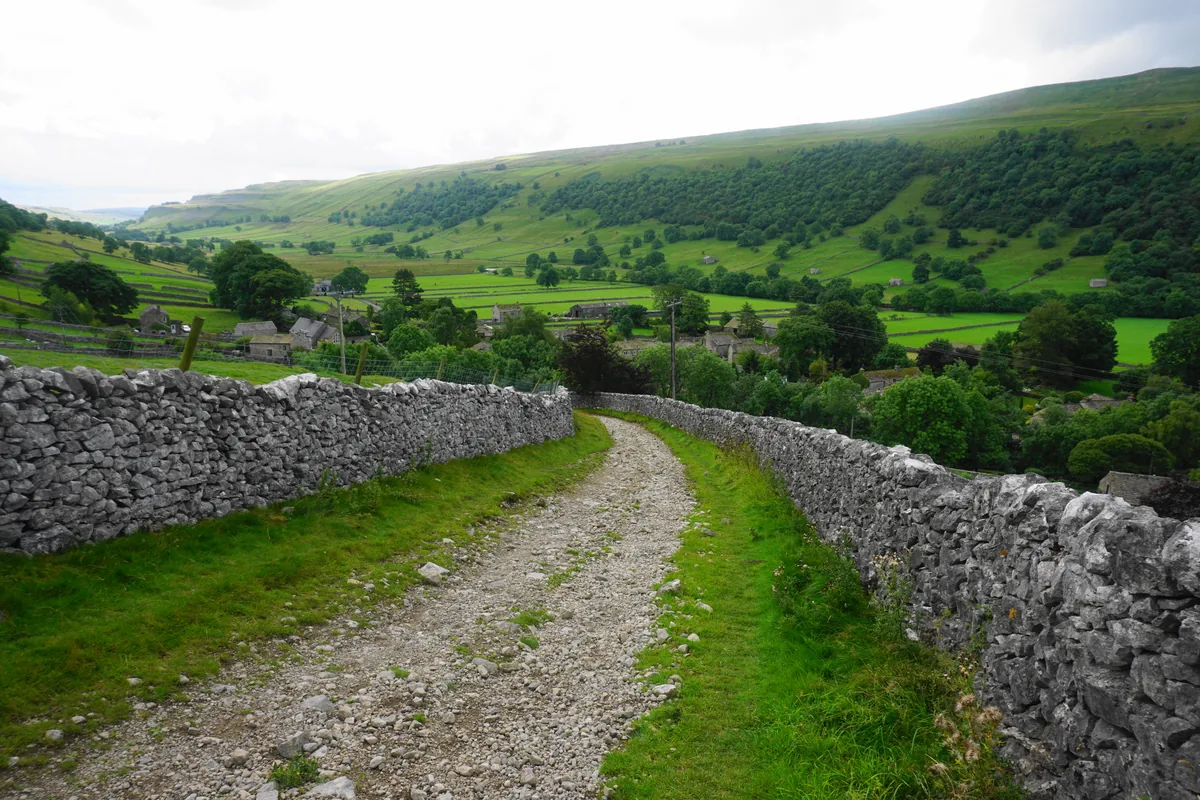 Walden Road above StarbottonHero photo · by Bill Boaden, Wikimedia Commons (Geograph)Original photoCC BY-SA 2.0 licence
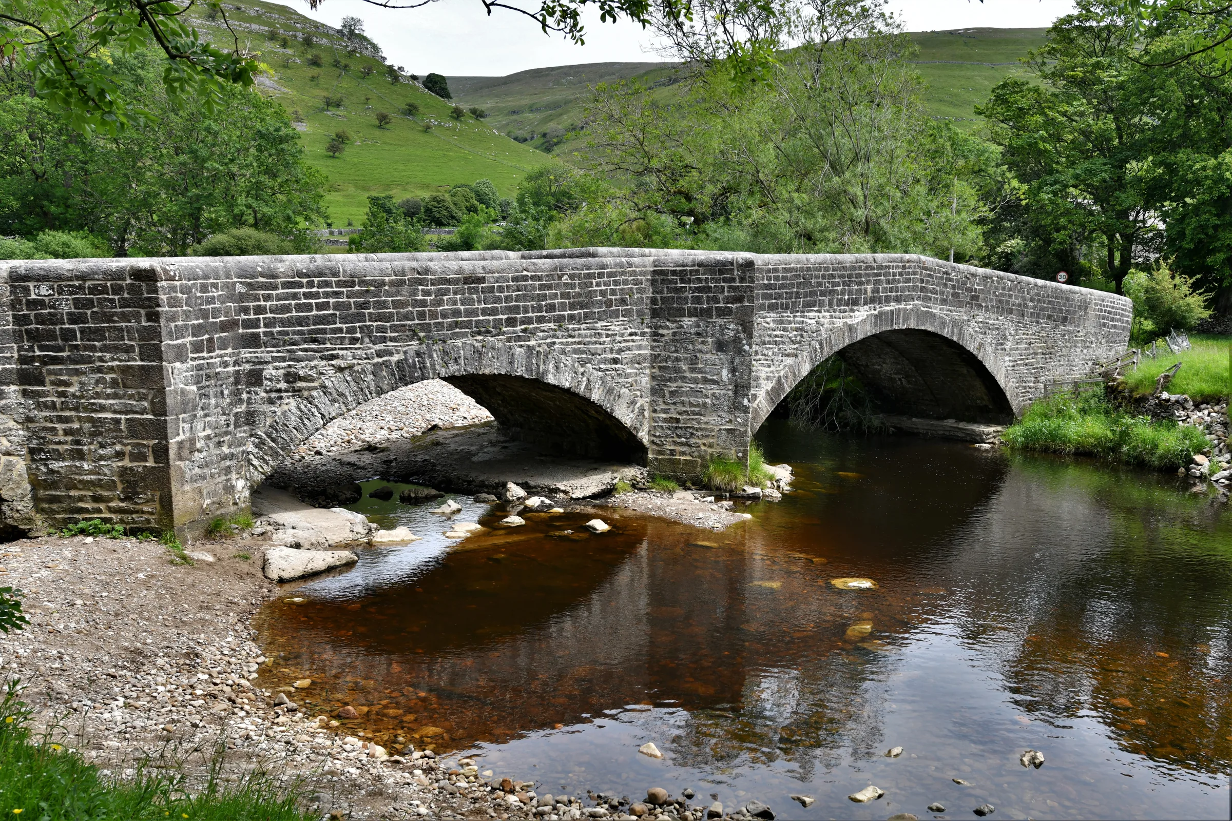
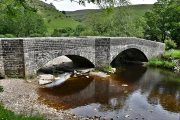 Dubbs Lane bridge, Buckdenby Michael Garlick, Wikimedia Commons (Geograph)Original photoCC BY-SA 2.0 licence
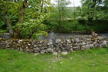 The path across the River Wharfeby Bill Boaden, Wikimedia Commons (Geograph)Original photoCC BY-SA 2.0 licence
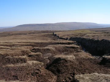 Eroded ground above Starbotton Fellby John Slater, Wikimedia Commons (Geograph)Original photoCC BY-SA 2.0 licence
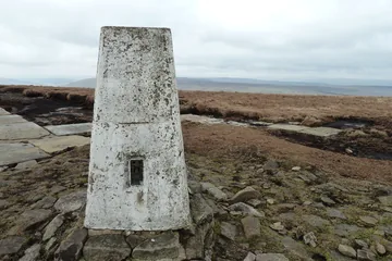 The trig point on Buckden Pikeby John Ryles, Wikimedia Commons (Geograph)Original photoCC BY-SA 2.0 licence
Hints & Tips
Bog Beyond the Cross
Beyond the memorial cross, the quarter mile to the gate where the descent begins is classic Dales peat bog, and it can be properly wet after rain. Staying close to the wall, or weaving slightly to the left of it, avoids the worst of the mud, but expect muddy boots whatever you do.
Pick the Over-2-Hours Ticket
Machines in the Buckden car park take cards only, and this loop takes most people 3½ to 4½ hours, so the £3.80 two-hour ticket won't cover it. The over-2-hours ticket is £6. If you'd rather pay cash, you'll need to do it at a National Park Visitor Centre such as Grassington before you arrive.
Starbotton, Not the Lead Mine
Lower down Walden Road, at about 4.9 miles, a signposted footpath branches off towards Buckden Lead Mine. Ignore it and follow the sign for Starbotton, which keeps you on the track down to the village and the footbridge over the Wharfe.
Let the Wall Guide You
Cloud on Buckden Pike's broad, flat top can hide the way, but the dry stone wall is your handrail: the path follows it up to the trig point, along the plateau to the memorial cross and on to the gate where you turn right for the descent to Starbotton.
Midway Pint at the Fox and Hounds
Starbotton's Fox and Hounds is just off the route at about 5.3 miles, a good place to stop before the flat walk home along the river. It's closed on Mondays and Tuesdays, and often shuts for two weeks in November and two in January, so check before you count on it.
Bronze Fox at the Cross
Cemented at the foot of the memorial cross is a bronze fox head, remembering the fox whose tracks the survivor followed down through the snow. Most of the bomber's wreckage was set into the concrete base, and a few loose fragments still lie around it; leave them where they are for the next walkers to see.
Interesting Facts
General
He-Goat Valley
Goats gave Buckden its name: it comes from the Old English bucca and denu, meaning he-goat and valley. The village sits where Buckden Gill, which rises on Buckden Pike, joins the River Wharfe
Beaten by 2 Metres
Missing out by just 2m, Buckden Pike's 702m summit loses the title of highest peak in the area to nearby Great Whernside (704m). It's the seventh-highest fell in the Yorkshire Dales, higher than Pen-y-ghent
On a Roman Road
Leaving Buckden on the stony track through Rakes Wood, you're following the line of the old Roman road between Bainbridge in Wensleydale and Ilkley, which came down from Kidstones Pass past the hamlet of Cray
Racing to the Top
Runners have raced up the fell since 1981 in the Buckden Pike Fell Race, held on the third Saturday in June with the Buckden village gala. Finlay Wild set the record of 30:39 in 2022, and Carol Greenwood's women's record of 36:32 has stood since 1993
The Fox in the Snow
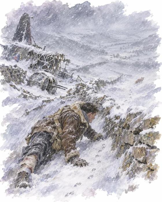
Six Polish airmen of No. 18 Operational Training Unit took off from RAF Bramcote in Warwickshire on 30 January 1942, in Wellington N2848, on a cross-country navigation flight to Carlisle, Newcastle and Hull. A blizzard swept across the north that day. With few landmarks and little modern navigation equipment, the crew strayed east of their planned route and came down low to look for a landmark, unaware they were heading into the Dales. That lunchtime, villagers in Kettlewell and Starbotton heard an aircraft that some thought sounded too low. A few minutes after passing over a town, it flew into Starbotton Fell at the southern end of Buckden Pike, went through the dry stone wall on the ridge and broke apart.
Sergeant Jozef Fusniak was in the rear gun turret, which broke away on impact. He had a broken ankle, and of the others only the wireless operator, Sergeant Jan Sadowski, was still alive and badly hurt. Fusniak built a small shelter for him, then set off through the deep snow for help, following the footprints of a fox in the hope it was heading for food and shelter. By dusk he had reached the hamlet of Cray, where his shouts were heard. The conditions on the fell were so bad that searchers took two days to find the wreck, and Sadowski had died of his injuries and the cold.
Fusniak went back to flying, and in July 1942 he was shot down on a raid on Duisburg in a Wellington of No. 301 Squadron. Once again he was the only survivor, and he spent the rest of the war as a prisoner. In the 1970s he returned to Buckden Pike and, with help from local people, built the memorial cross, completed on 8 August 1973. A bronze fox head at its foot remembers the animal he said saved his life, and most of the remaining wreckage is set into its base. The five men who died are buried in the Polish war graves at Newark Cemetery. Joe Fusniak died in July 2017.
Starbotton's Day of Flood
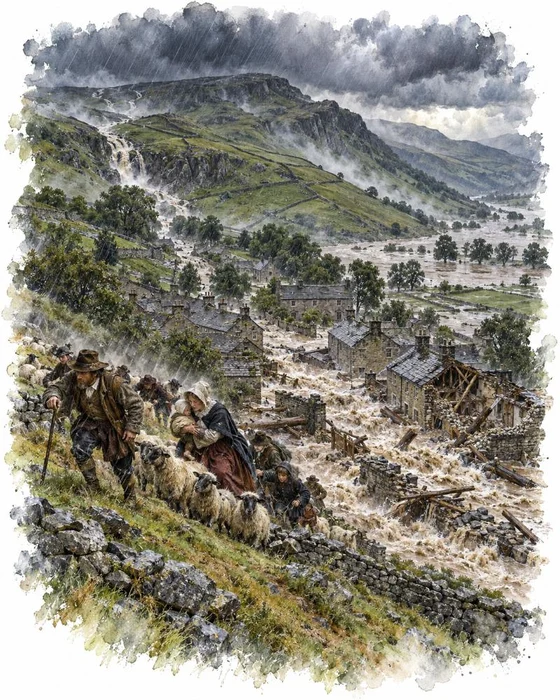
Rain fell so hard on the hills above Upper Wharfedale in June 1686 that a flash flood tore down into Starbotton and swept much of the village away. Neighbouring Kettlewell was almost destroyed too, its residents fleeing as houses were demolished, and the flood carried away bridges and buildings along the Wharfe. It came just as Starbotton was being rebuilt: its earliest dated building is from 1621. The houses that could be saved were restored, and new ones went up in the late 17th century.
On 26 July 1667 Lady Anne Clifford spent the night at John Symondson's house here on one of her journeys to her Westmorland estates, and wrote in her diary that she lay there one night before going on to Pendragon. The house, an old hall near the gill, was later split into three cottages and fell into ruin in the 19th century; a stone inscribed WS 1663 TS is built into what's left.
Lead mining left its mark as well. A smelt flue runs up the hillside from the back of the village to a chimney above Cam Gill, a relic of the smelt mill. Collecting the white lead oxide from the sides of the flue was the main job for children at the mill. In 1969 Starbotton was made a conservation area, and today it's a village of around 60 houses with a Quaker burial ground, restored as a Millennium Project, and the Fox and Hounds.
More Hikes
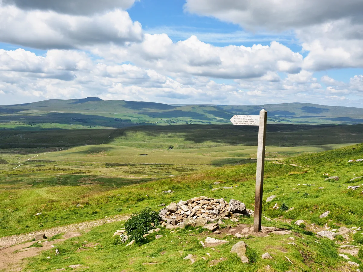 HardYorkshire Three Peaks24.7 mi · 8–14 hrs · 1603m
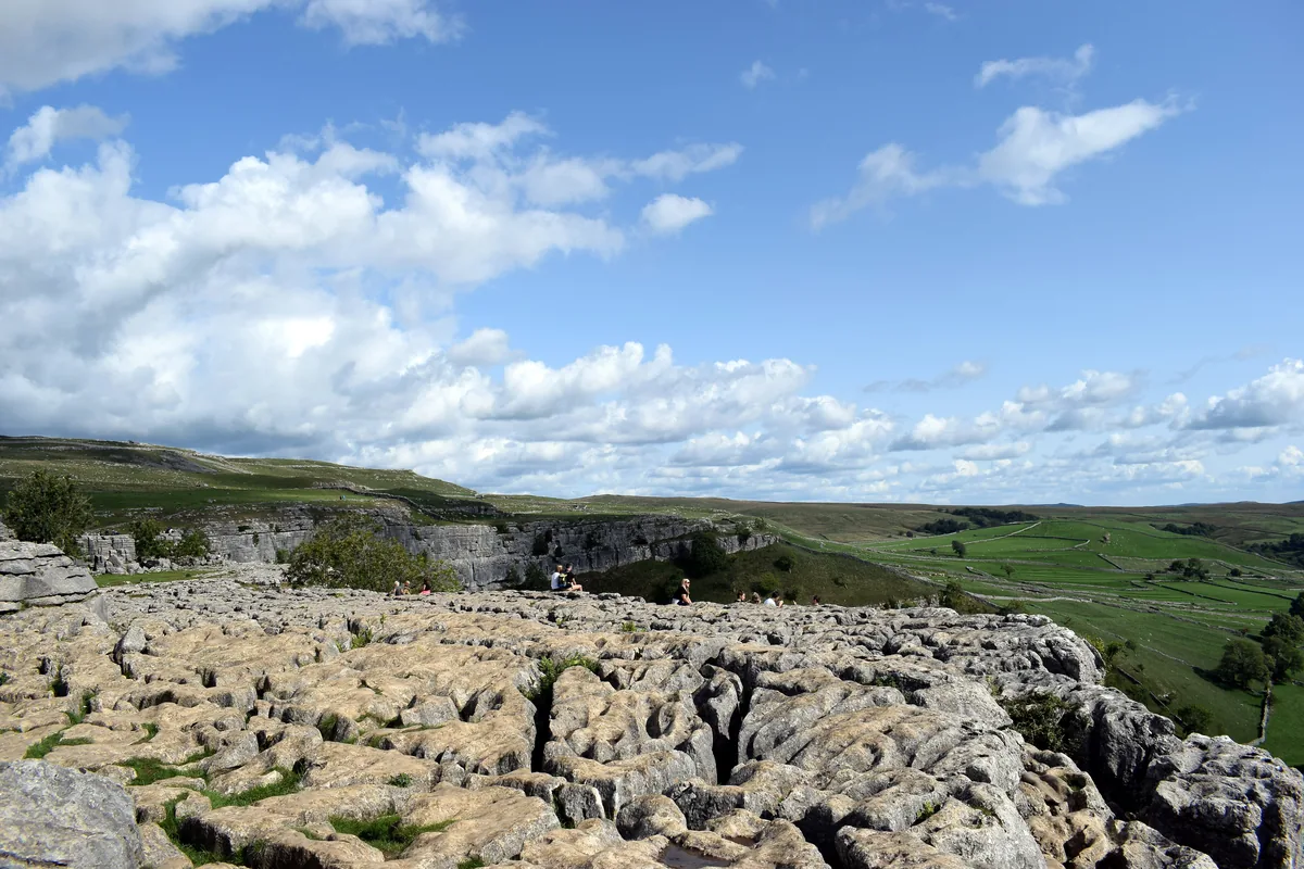 ModerateMalham Cove & Gordale Scar8.5 mi · 4–5 hrs · 300m
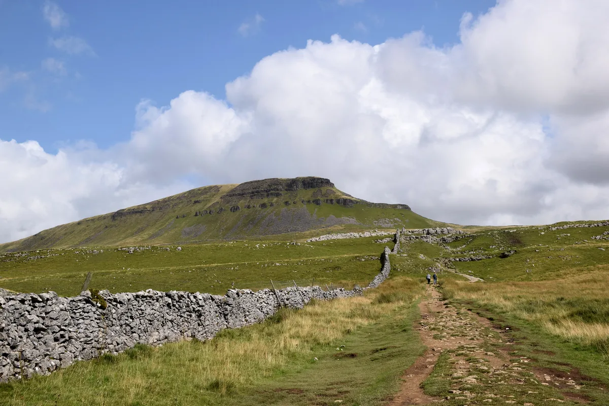 ModeratePen-y-ghent6.6 mi · 3–4½ hrs · 477m
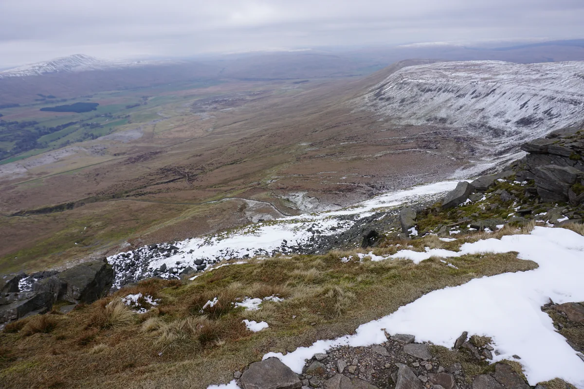 ModerateIngleborough11.3 mi · 5–6 hrs · 707m
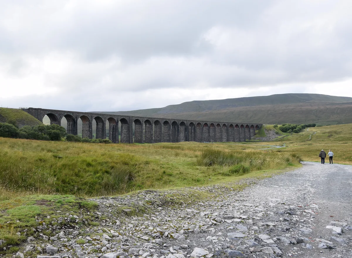 ModerateWhernside8.1 mi · 3–4 hrs · 499m
 HardGreat Shunner Fell & Hardraw Force12.7 mi · 5–7 hrs · 554m
Subscribe for updates on new hikes and National Parks
One email a month with new hikes and routes. No spam.