



Contents
Overview
Pen-y-ghent, Whernside and Ingleborough ring the head of Ribblesdale, and walking all three in a single day is a challenge that goes back to at least 1887. The National Park puts the classic circuit at 24 miles with 1,600m of climbing, and many walkers set themselves the target of getting round in under 12 hours. The three hills are part of the Pennine range. Their lower slopes are limestone and their tops are capped with gritstone, and the bands of rock in between have worn away at different rates, giving Pen-y-ghent and Ingleborough their stepped look. Whernside, at 736m, is the highest point in North Yorkshire, though its trig point stands just over the border in Cumbria.
Horton-in-Ribblesdale is the traditional start, and this loop goes anticlockwise. From the National Park car park you head south through the village and up by Brackenbottom to the summit of Pen-y-ghent at about 2.7 miles, then drop north past Hunt Pot and cross Whitber Hill and the moors by Nether Lodge to the B6479. A mile on the road brings you to Ribblehead, where the path runs beside the Settle–Carlisle railway, past the great viaduct, before climbing onto Whernside's long ridge to its summit at about 14.4 miles. A steep descent to Bruntscar leads down to Chapel-le-Dale, and from there it's up through limestone country and a final steep pull onto Ingleborough's summit plateau at about 19.6 miles. The last stretch heads east, down across Simon Fell's flank and along the straight little valley of Sulber Nick, to Horton station and the car park. This is a long, serious day on the hills, for fit walkers who can navigate.
Go prepared, stay safe,
and enjoy the hike!
Key Info
Crowds
High
The National Park calls the Yorkshire Three Peaks extremely popular, with thousands of visitors each year, and it's a favourite for charity walks: Saturdays in early summer can see several hundred people on the route. Horton's car park is the main pinch point.
When it gets busy
- Saturdays in spring and summer, when Horton's car park fills very quickly
- Early summer weekends, when organised charity walks are out in force
For a quieter walk
- Arrive early to get a space at Horton
- Come by train to Horton or Ribblehead on the Settle–Carlisle line
- Walk on a weekday
- Start from Ribblehead instead, the most popular alternative start
Our crowd rating is for a typical sunny weekend in spring or summer, in the middle of the day. Timing makes a big difference, so even a busy walk can be quiet early, late or midweek.
The Route
Disclaimer: Route information and GPX files are provided for general guidance only. Conditions can change, so always use your own judgement and navigate responsibly. See our Terms of Use & Disclaimer for more information.
Route Guide
- 1
South to Brackenbottom0.8 mi · 30m upFrom the car park, walk south through the village, past the Golden Lion and the church, and cross a small stream. Turn left up the minor road towards Brackenbottom and, just before you reach the buildings, take the footpath on the left signed to Pen-y-ghent.
- 2
Up Pen-y-ghent1.9 mi · 446m up · 42m downClimb steadily up through the fields with Pen-y-ghent ahead of you, past Brackenbottom Scar, to meet the Pennine Way below the hill's south face. The final section is steeper for a while before you reach the trig point and shelter on the 694m summit at about 2.7 miles.
- 3
Down Past Hunt Pot1.4 mi · 50m up · 320m downCross the wall at the summit and follow the clear path heading roughly north. It turns west and zigzags down the hillside, passing the gash of Hunt Pot, to the head of a walled lane at about 4 miles.
- 4
Over Whitber Hill2.5 mi · 83m up · 107m downCarry straight on along the newer path over Whitber Hill to a clear track at about 5.3 miles. Turn right and follow it north for about a mile, then take the path on the left towards Birkwith Cave.
- 5
By Nether Lodge2.7 mi · 71m up · 132m downThe path comes out on a rough tarmac track: turn left, then right onto an unsurfaced track towards Nether Lodge. After the farm, follow the long access track up to the B6479 by Lodge Hall, at about 9.2 miles.
- 6
The Road to Ribblehead1.1 mi · 8m up · 19m downTurn right and follow the B6479 for about a mile to Ribblehead, where it meets the B6255; the Station Inn is a short way along to the left. The road can be busy, so take care.
- 7
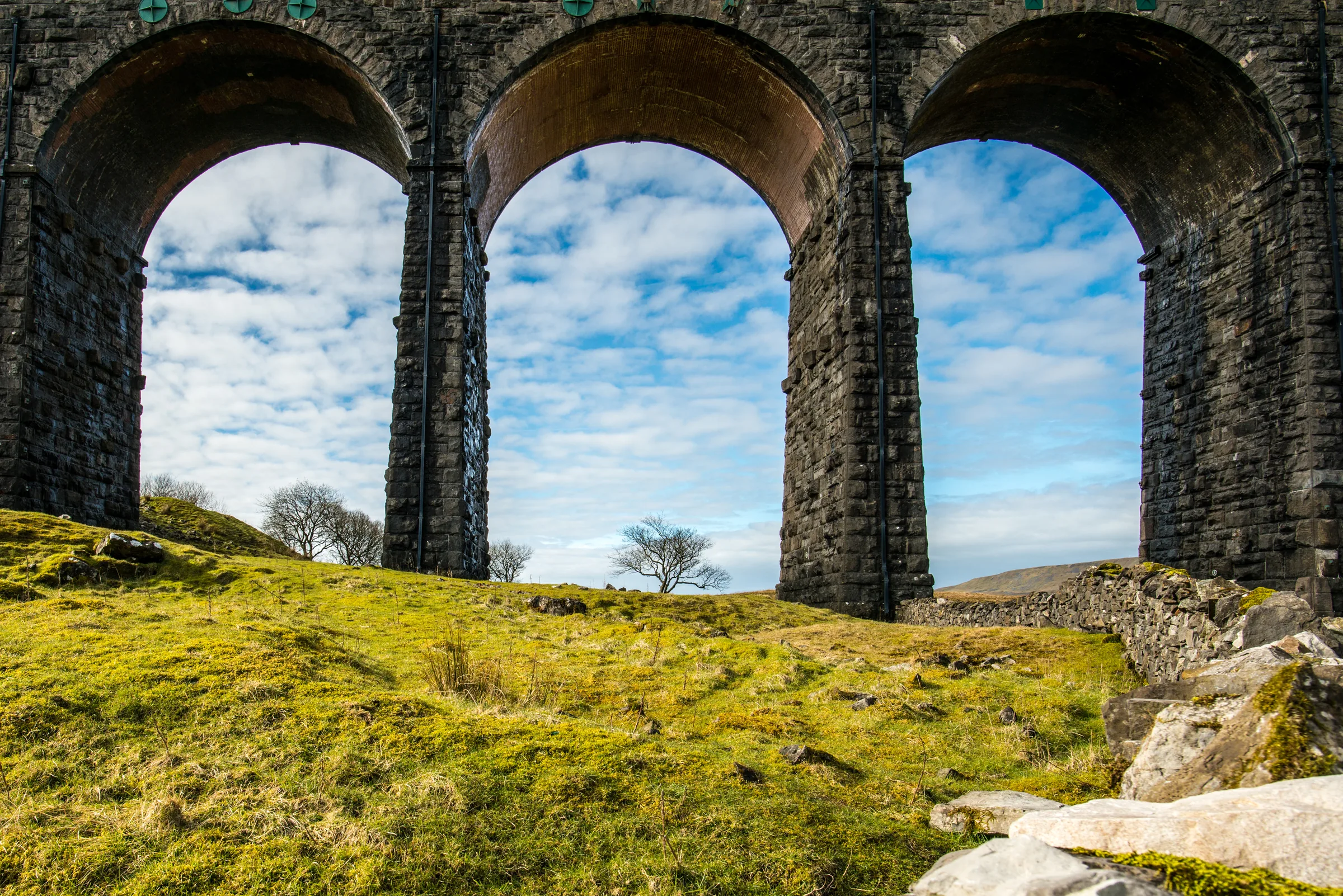
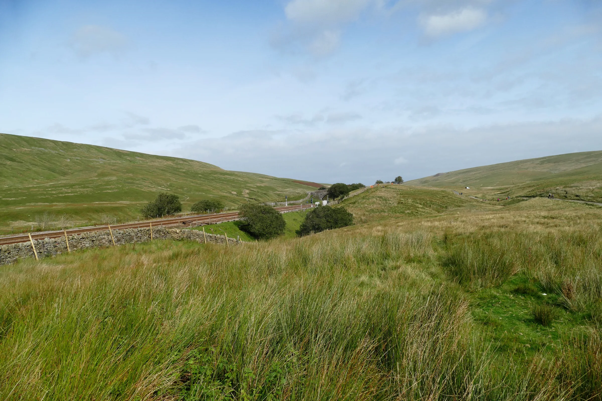
Beside the Railway2.0 mi · 77m upTake one of the paths that head towards Ribblehead Viaduct. Keep the viaduct on your left and follow the obvious path alongside the railway for about 2 miles, until it crosses over the line beside an aqueduct, near the southern entrance to Blea Moor Tunnel.
- 8
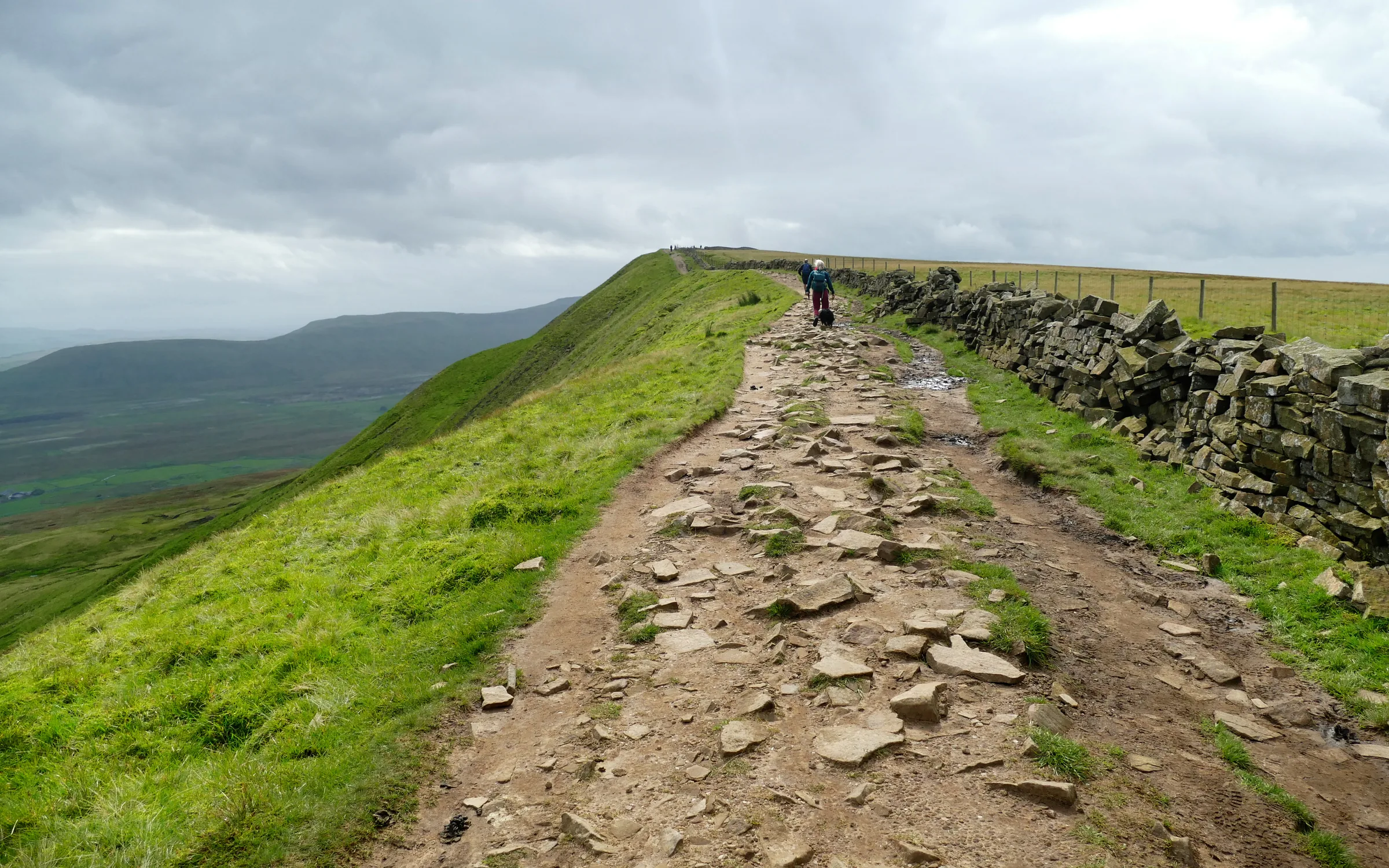
Up to Whernside2.2 mi · 344m upThe path now climbs towards Grain Head. Leave it on the signed route to the left, which climbs slowly onto the ridge, then follow the ridge south to the trig point on Whernside's 736m summit at about 14.4 miles.
- 9
Down to Bruntscar2.6 mi · 8m up · 437m downCarry on south along the ridge path for about a mile, then at about 15.3 miles turn left onto the signed path down to Bruntscar. It drops steeply down a stepped path, which is slippery in the wet. From Bruntscar, follow the lane down the valley to the B6255.
- 10
Chapel-le-Dale to Ingleborough2.7 mi · 437m up · 25m downTurn left along the road, past the Old Hill Inn, then right onto a level grassy path; take care on the road, as traffic is fast. The path crosses several fields and an area of limestone pavement, passes the shakehole of Braithwaite Wife Hole, then climbs gently and finally steeply onto the summit plateau. The trig point on the 723m summit comes at about 19.6 miles.
- 11
Off the Plateau to Sulber2.9 mi · 40m up · 387m downFrom the summit plateau follow the path east towards Horton-in-Ribblesdale. It drops slowly towards the valley past a ruined cottage; keep to the main path, which crosses another major path at about 21.7 miles and runs on along Sulber Nick, a small straight valley.
- 12
Back to Horton1.9 mi · 9m up · 134m downA few more fields bring you down to Horton-in-Ribblesdale station at about 24 miles. Cross the railway and walk the short way into the village and back to the car park.
Use the route on OS Maps, AllTrails or Komoot to navigate on the day; this guide is for planning.
Parking
The walk starts from the Yorkshire Dales National Park car park in Horton-in-Ribblesdale (SD 807 724 · Postcode BD24 0HF), owned and run by the National Park Authority. From 1 April 2026 it costs £3.80 for up to 2 hours, £6.00 for over 2 hours, £7.00 for up to 24 hours and £8.50 for up to 48 hours. The machines are card only, and the charges apply to everyone, including Blue Badge holders. There are public toilets in the car park, open 24 hours a day, and EV charge points. On Saturdays through spring and summer it fills up very quickly, and there's no coach parking; if it's full, see Alternative Parking. Check the latest prices here.
The National Park says limited private parking is also available in Horton, in the field off Station Road, at the Golden Lion and at Holme Farm campsite.
Sleeping in vehicles, camping and overnight motorhome stays are not allowed in National Park car parks.
*Prices correct at time of writing; check before you travel.
Alternative Parking
Facilities & Hospitality
In the National Park car park at the start and finish, open 24 hours a day, with a RADAR accessible toilet. The National Park says these are the only public toilets on the Three Peaks route.
Right by the car park on the Pennine Way, with 10 rooms, Wi-Fi and dogs welcome. Open daily from 1PM (noon at weekends), with soup and sandwiches by day on weekdays, main meals from around 5PM and food all day at weekends.
On the way out of the village at the start, a large pub with three bars, rooms and a bunk barn, and dogs welcome in the flag-floored tap room. Weekday afternoon and Monday opening isn't guaranteed, so phone ahead on 01729 860206.
On the southbound platform at Horton station, which the route passes in its last half mile. Run with the Friends of the Settle–Carlisle Line, it's open Fridays and Saturdays, 10AM to 5:30PM, for coffee, food and drinks.
Just off the route at Ribblehead, about 10 miles round. Open daily from 10AM, with food from noon to 8:30PM (9PM on Fridays and Saturdays), Wi-Fi, rooms and a bunkhouse; dogs welcome. Its rooms are being refurbished during 2026.
On the platform at Ribblehead station, a short detour from the road junction, with homemade cakes, sandwiches, tea and coffee, and a visitor centre about the Settle–Carlisle line. Opening hours aren't published.
Weather
Hike Videos
Note: Videos are made by other walkers, not The Lost Peak. They may not follow this exact route, and paths, conditions and facilities may have changed since filming.
Photo Gallery
Photos
Photo credits
Photos without a credit are our own. These are used under Creative Commons licences; thank you to the photographers.
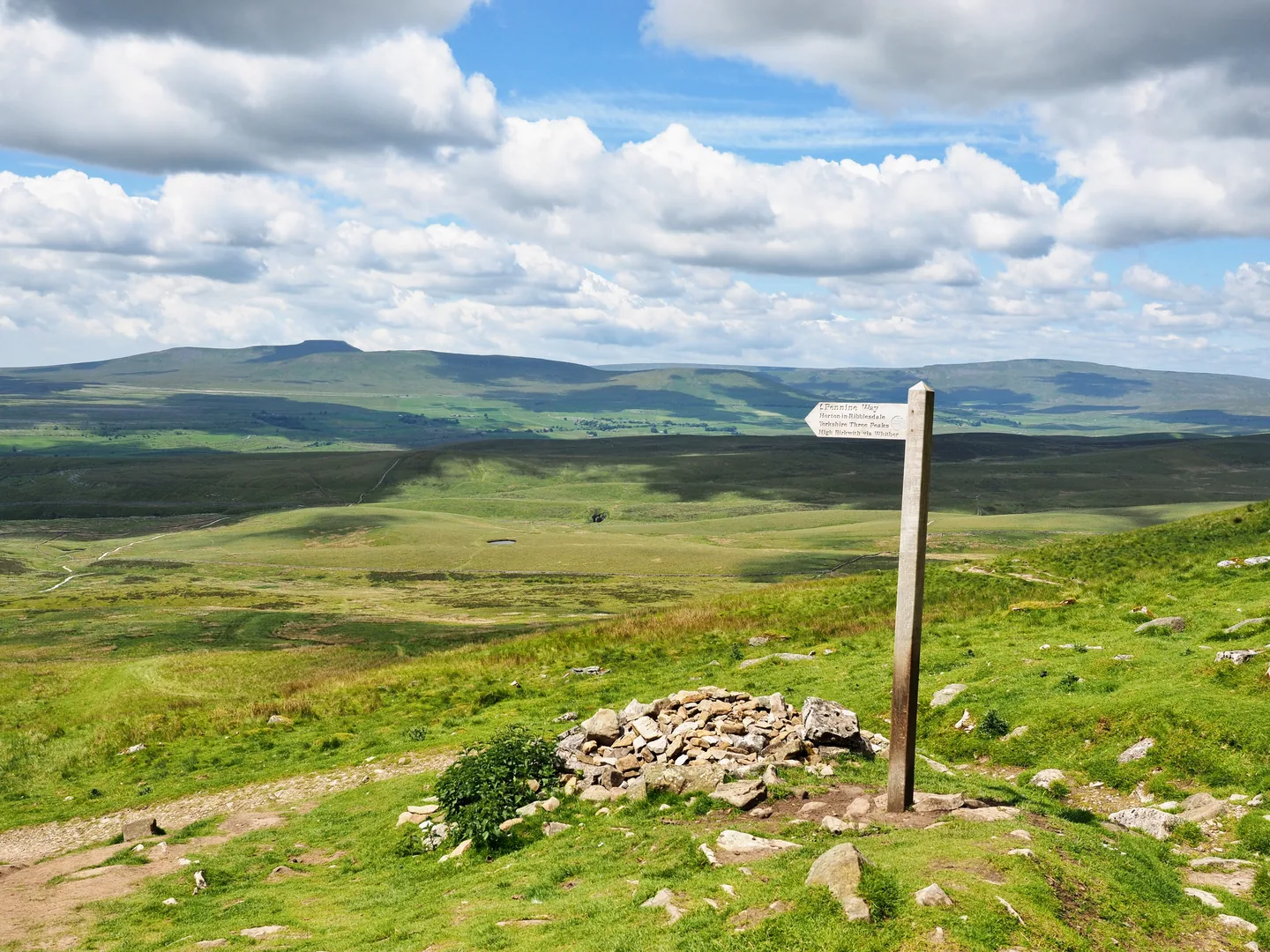
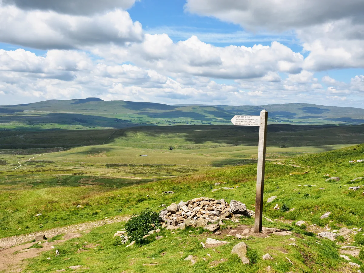 Ingleborough and Whernside from Pen-y-ghentHero photo · by Kreuzschnabel, Wikimedia CommonsOriginal photoCC BY-SA 3.0 licence
 Under the arches of Ribblehead Viaductby Richard from Leeds, Yorkshire, UK, Wikimedia CommonsOriginal photoCC BY 2.0 licence
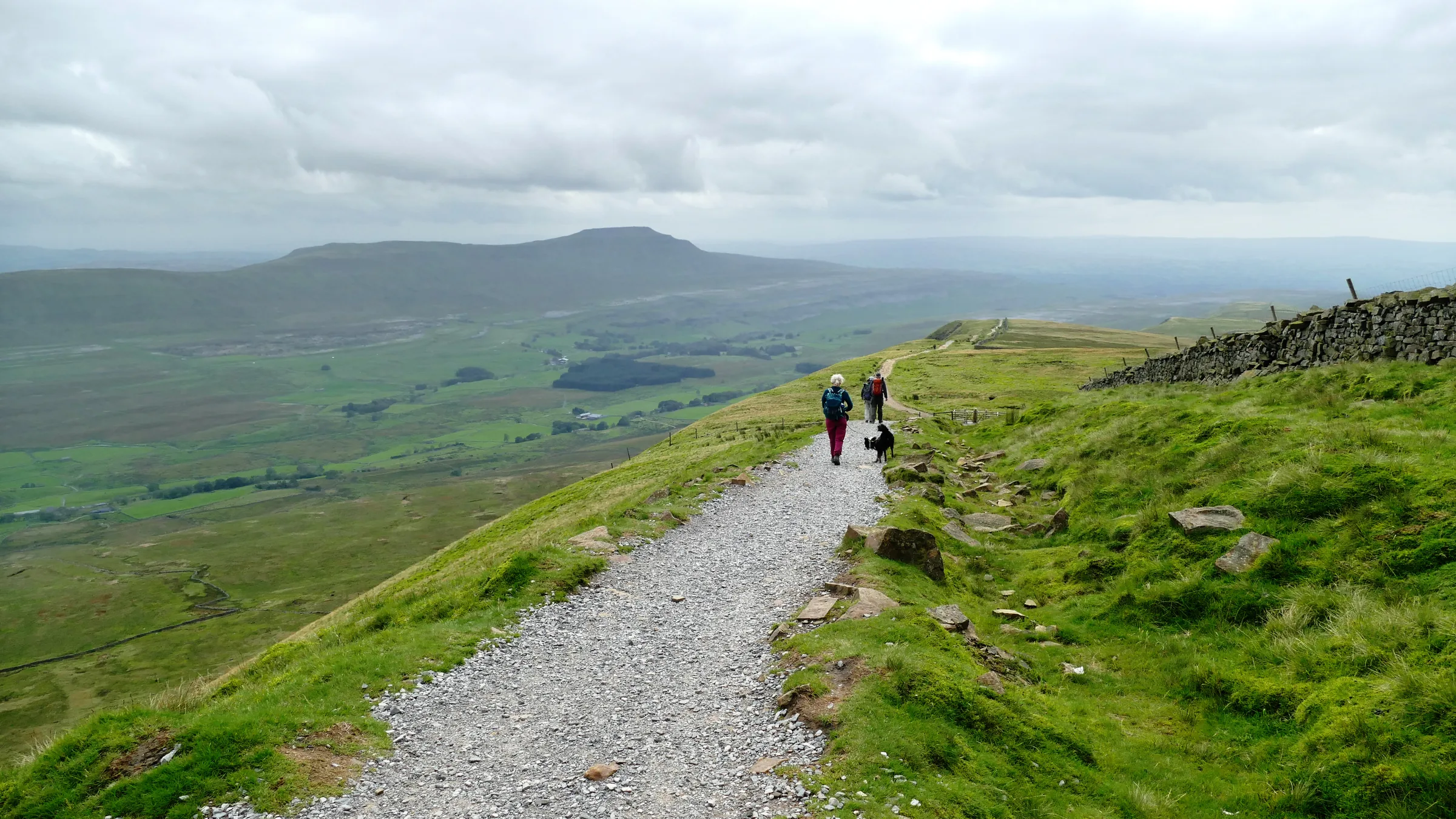
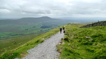 Descending Whernside towards Ingletonby Andy Waddington, Wikimedia Commons (Geograph)Original photoCC BY-SA 2.0 licence
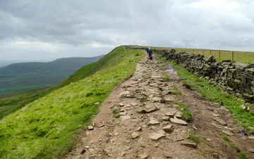 Cable Rake Top on Whernsideby Andy Waddington, Wikimedia Commons (Geograph)Original photoCC BY-SA 2.0 licence
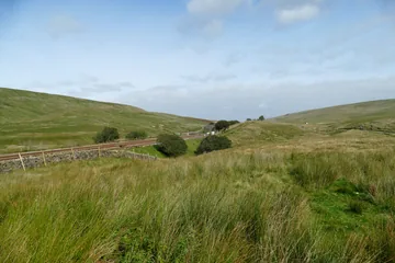 The Settle–Carlisle line at Blea Moorby Andy Waddington, Wikimedia Commons (Geograph)Original photoCC BY-SA 2.0 licence
Hints & Tips
Leaving Ingleborough in Cloud
Ingleborough's flat summit plateau makes it easy to walk off in the wrong direction when the cloud is down. The National Park's route guide gives a bearing of 070° from the trig point until the ground starts to steepen, then 100°, to find the path east towards Sulber and Horton.
Buy the Long-Stay Ticket
Horton's National Park car park charges £6.00 for over 2 hours and £7.00 for up to 24 hours (from April 2026), and most people take 8 to 14 hours to get round. The machines only take cards, and on spring and summer Saturdays the car park fills very quickly, so arrive early.
Pub Stop at Ribblehead
Halfway round, where the route reaches Ribblehead at about 10 miles, the Station Inn serves food from noon, and there's a coffee shop on the station platform nearby. Don't count on the Old Hill Inn at Chapel-le-Dale later on: its opening has been limited and erratic, and it has been up for sale.
Come by Train
Rather than drive, take the Settle–Carlisle railway: it stops at both Horton-in-Ribblesdale and Ribblehead, and this loop passes Horton station in its last half mile. It also gets round the Saturday scramble for spaces in the car park.
Steep Steps off Whernside
Off the summit ridge, at about 15.3 miles, the path turns left and drops steeply down a stepped path to Bruntscar. Coming late in a long day on tired legs, it's slippery when wet, so take it slowly.
Toilets Only in Horton
Only Horton has public toilets anywhere on the route: they're in the National Park car park, open 24 hours a day. There are no bins on the hills either, so carry all your litter home.
Interesting Facts
General
Highest in North Yorkshire
Whernside is the highest point in North Yorkshire, but its trig point stands narrowly on the Cumbria side of the county boundary. The whole mountain is still within the historic county of Yorkshire
Two Streams That Never Mix
Local legend says the streams flowing into Hunt Pot and Hull Pot on Pen-y-ghent cross each other underground without mixing. The story goes that oat husks dropped in one and muddy water from a sheep wash in the other came out separately into the Ribble
A Fort on the Summit
Ingleborough's name ends in the Old English burh, a fortified place. Its summit plateau is a Scheduled Monument classed as a large hillfort, with the tumbled remains of a wall and some twenty ring-shaped stone mounds
An Old Northern Name
Pen-y-ghent's name probably comes from Cumbric, the old Brittonic language of the north, in which pen meant top or head. Early Ordnance Survey maps spelt it Pennegent, and the hyphenated form first appears in the 1890s
Round the Peaks Against the Clock
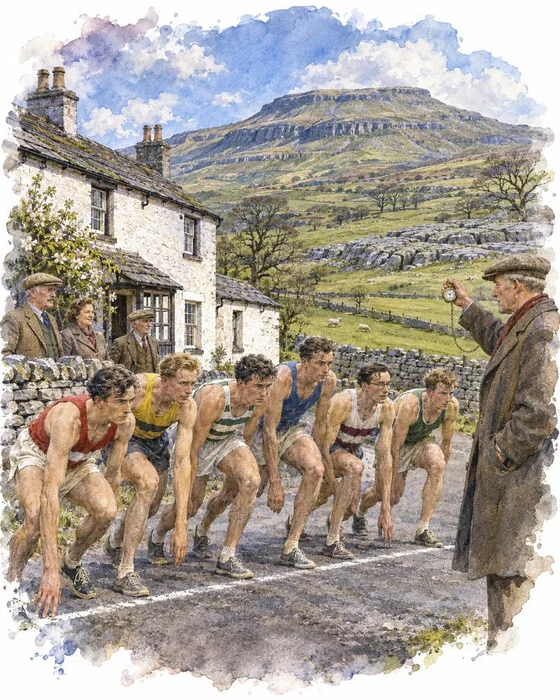
July 1887 brought the first recorded round of all three hills, when J. R. Wynne-Edwards and D. R. Smith completed it in 10 hours. Chapel-le-Dale was historically the starting point, but that probably changed in 1968, when the Pen-y-ghent Cafe in Horton began a clocking in and out service for walkers, who could join its Three Peaks of Yorkshire Club. The café has since closed, so walkers can no longer register there, but many still aim to get round in under 12 hours. Not everyone approved: Alfred Wainwright regretted that some people treated the walk as a race, when walking was a pleasure to be enjoyed in comfort.
Some did race it. The first circuits by athletes rather than walkers came in the winter of 1948 to 1949, when three Leeds climbers went round, Des Birch setting the first record of 4 hours 27 minutes. In 1954 Preston Harriers organised the first fell race, starting at the Hill Inn in Chapel-le-Dale, with just six runners. They climbed Ingleborough first, then Pen-y-ghent and Whernside, and Fred Bagley won in 3 hours 48 minutes.
The race moved its start to Horton in 1975 and is still held at the end of April. The fastest time for any version of the course is 2 hours 29 minutes 53 seconds, set by Jeff Norman in 1974, though the route has since been changed and made longer or harder several times.
More Hikes
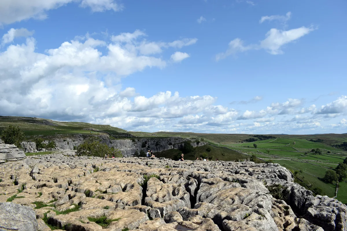 ModerateMalham Cove & Gordale Scar8.5 mi · 4–5 hrs · 300m
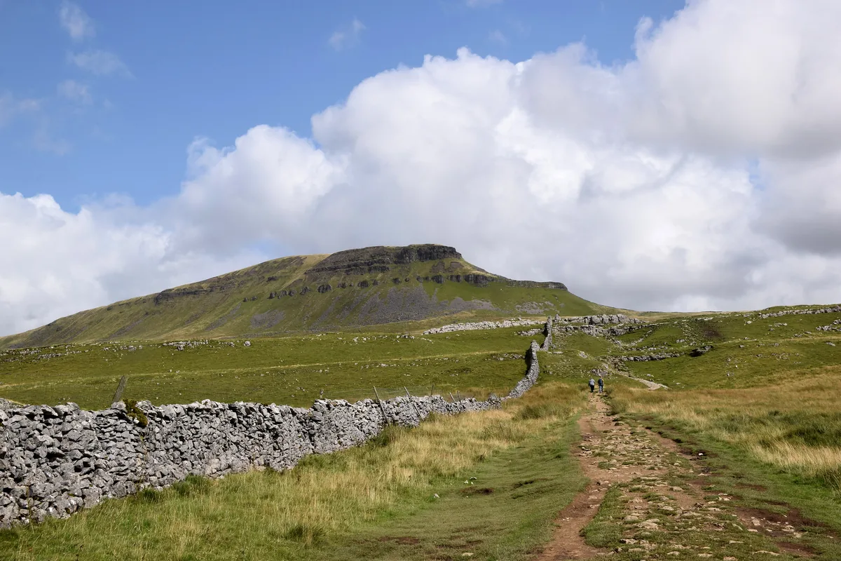 ModeratePen-y-ghent6.6 mi · 3–4½ hrs · 477m
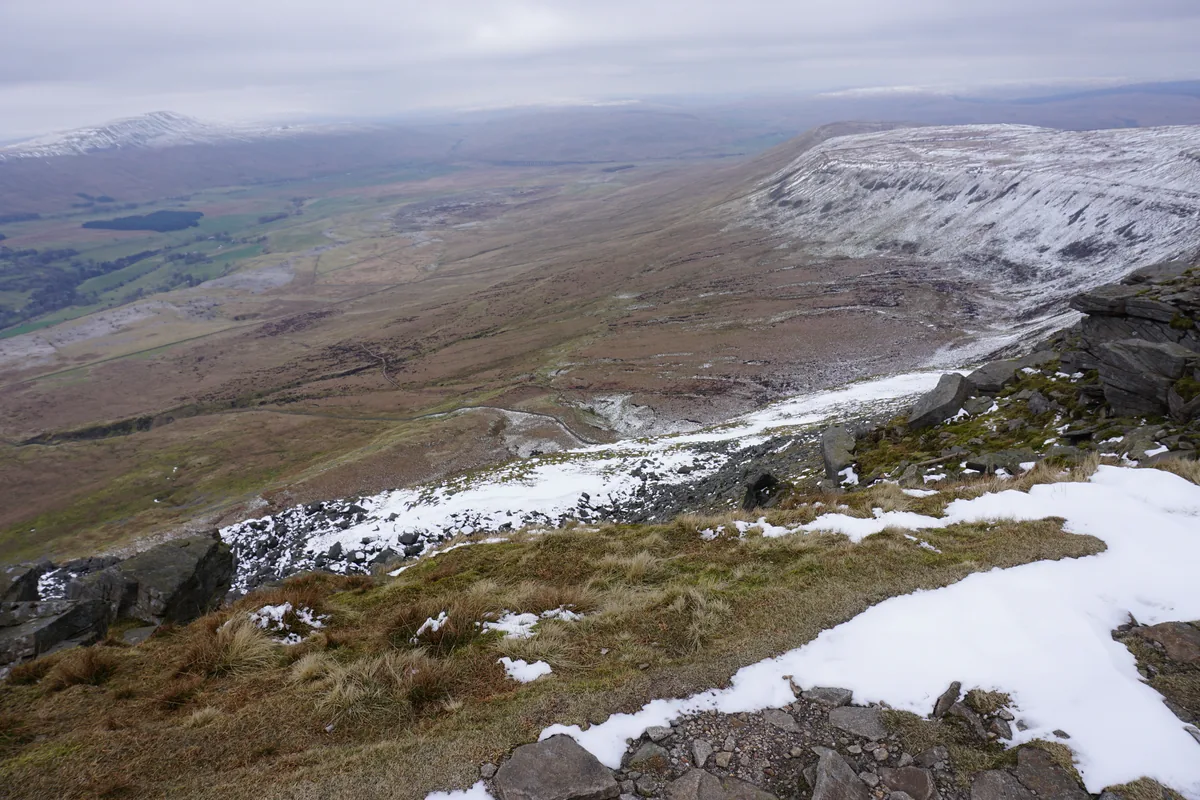 ModerateIngleborough11.3 mi · 5–6 hrs · 707m
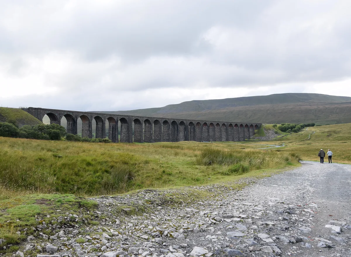 ModerateWhernside8.1 mi · 3–4 hrs · 499m
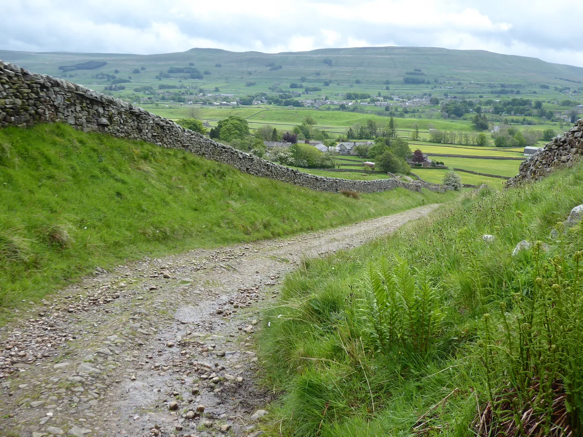 HardGreat Shunner Fell & Hardraw Force12.7 mi · 5–7 hrs · 554m
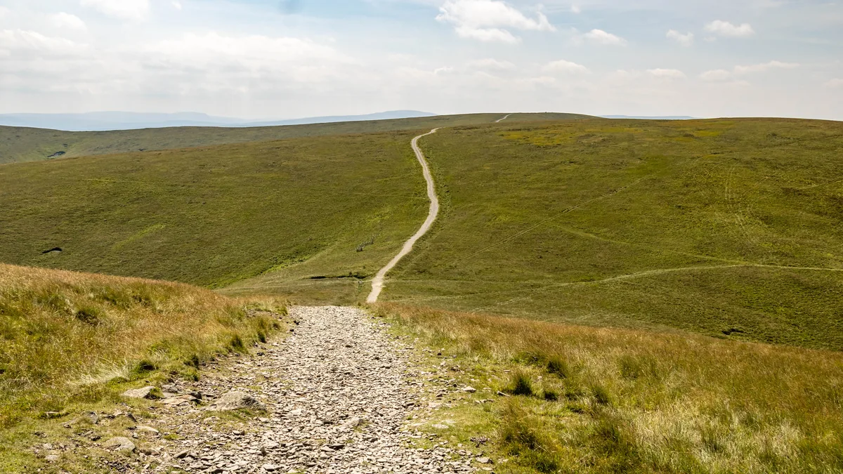 HardThe Calf7.9 mi · 4–5 hrs · 782m
Subscribe for updates on new hikes and National Parks
One email a month with new hikes and routes. No spam.