



Contents
Overview
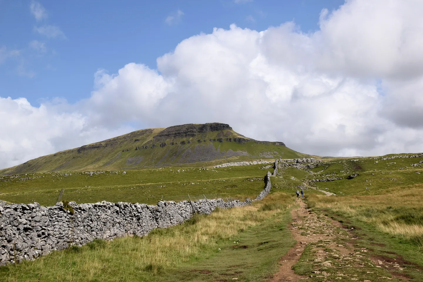
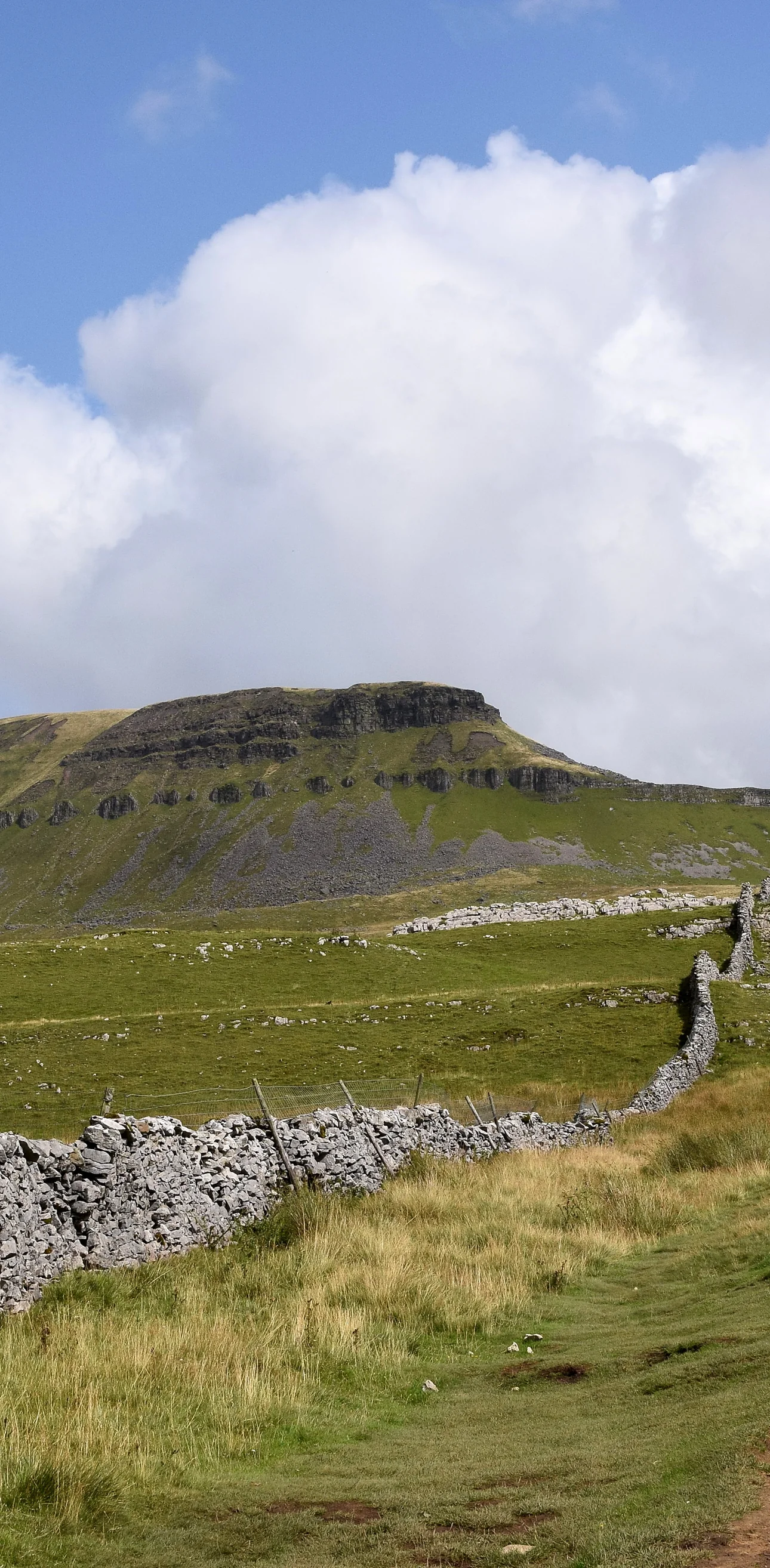
Crouched like a lion above Ribblesdale, Pen-y-ghent is the lowest of the Yorkshire Three Peaks at 694m, but the easiest of the three to pick out from a distance. The lion's face is made of two great steps of rock, a lower band of pale limestone and an upper one of dark gritstone. Nobody is sure what the name means: it comes from the Cumbric language, where pen meant top or head, and it may mean "hill on the border". Underneath, the limestone is riddled with potholes, and two of the most dramatic lie beside the way home: the narrow slit of Hunt Pot and the huge chasm of Hull Pot, said to be the largest natural hole in England.
This is the classic loop from Horton-in-Ribblesdale and one of the most popular walks in the Yorkshire Dales. From the National Park car park you walk south through the village past St Oswald's Church, then follow the lane beside Horton Beck to Brackenbottom. A path climbs beside a wall, with steps in places, to meet the Pennine Way at about 2.4 miles. Here the nose begins: two short, steep, rocky steps where you may need your hands briefly, then a flagged path to the trig point on the summit at about 2.8 miles. The way down follows the Pennine Way north along the edge and then west, steeply at first, past Hunt Pot to a four-way signpost at the top of Horton Scar Lane. A short detour of a couple of hundred metres takes you to the rim of Hull Pot, and the walled lane, an old packhorse track, leads you back down into the village.
Go prepared, stay safe,
and enjoy the hike!
Key Info
Crowds
High
This loop is one of the most popular walks in the Yorkshire Dales, and it shares the climb and much of the descent with the Yorkshire Three Peaks Challenge, which starts and finishes in Horton. The main pinch point is the village car park, which can fill by mid-morning at weekends.
When it gets busy
- Weekends, when the Horton car park can be full by mid-morning, even in winter
- Saturdays in early summer, when several hundred Three Peaks walkers can be on the route
For a quieter walk
- Arrive early to get a space in Horton
- Go on a weekday
- Come by train to Horton-in-Ribblesdale station on the Settle–Carlisle line
Our crowd rating is for a typical sunny weekend in spring or summer, in the middle of the day. Timing makes a big difference, so even a busy walk can be quiet early, late or midweek.
The Route
Disclaimer: Route information and GPX files are provided for general guidance only. Conditions can change, so always use your own judgement and navigate responsibly. See our Terms of Use & Disclaimer for more information.
Route Guide
- 1
Through Horton to Brackenbottom1.0 mi · 25m up · 5m downTurn right out of the car park and walk south along the B6479, past the former Pen-y-ghent Café, Holme Farm campsite and St Oswald's Church, with Pen-y-ghent on the skyline behind it. Cross a road junction and then a stream, and straight after the stream turn left onto the lane with the beck on your left. Follow it past the old primary school for about half a mile to Brackenbottom, and go through the gate on the left just before the buildings, signed for Pen-y-ghent summit.
- 2
Up Beside the Wall1.5 mi · 304m upGo through the gate in the wall and turn left up the steps beside it. The path climbs steadily alongside the wall through a series of gates, one with a plaque asking for donations towards the upkeep of the Three Peaks paths, and weaves between limestone outcrops. Look back for Ingleborough and Whernside. At about 2.4 miles you go through a gate onto the Pennine Way, with Fountains Fell straight ahead.
- 3
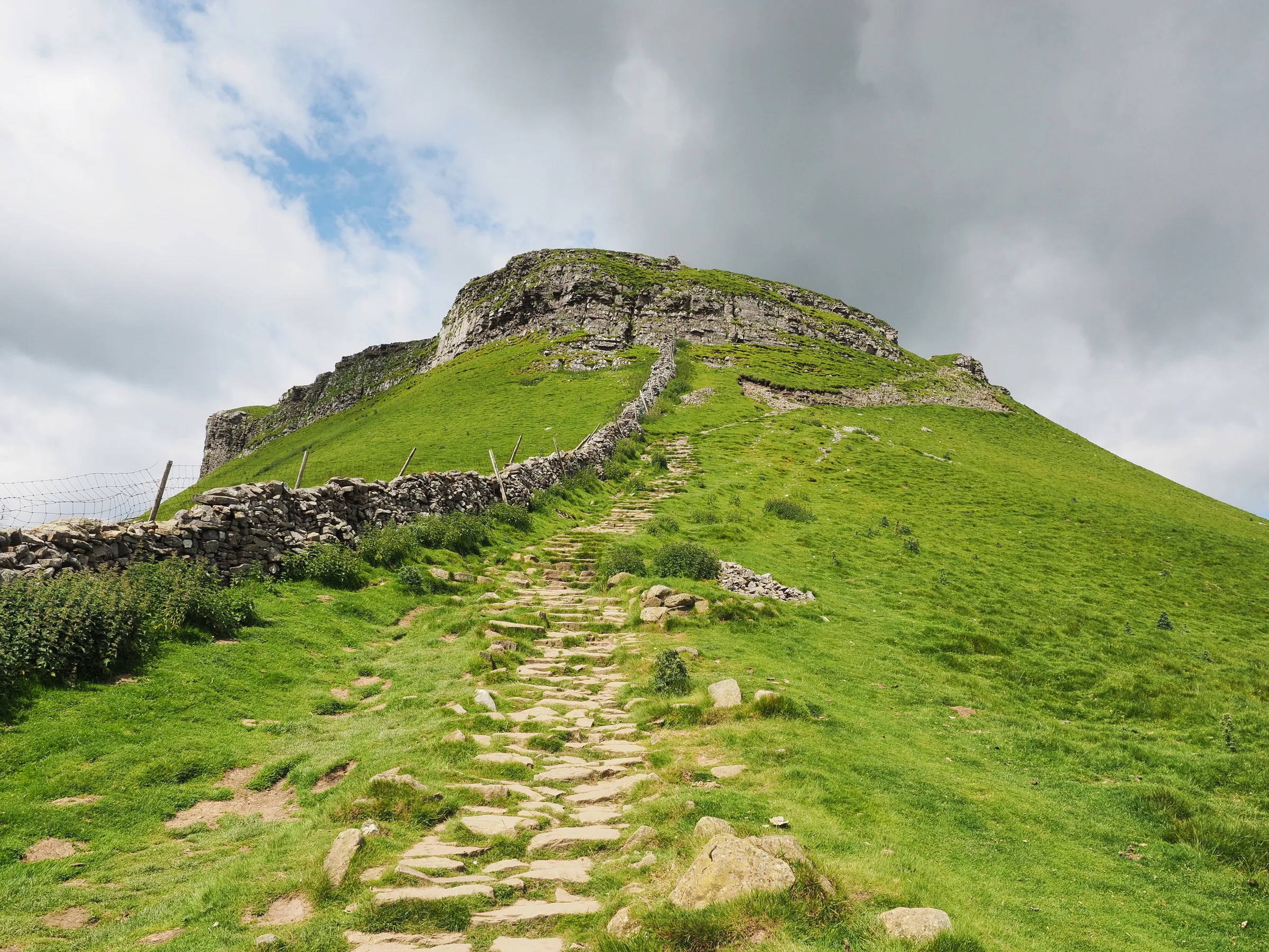
Up the Nose0.4 mi · 132m upTurn left on the Pennine Way for the steep part. The first step starts up stone steps, then the path picks its way across rock below a crag, where you may need your hands briefly. After a short flat stretch, a second set of steps and rocks, again with a little hands-on work, brings you onto the top. Follow the flagged path to the trig point on the 694m summit, beside the wall with stone seats built into both sides of it.
- 4
North Along the Edge0.5 mi · 10m up · 157m downGo through the gap in the wall and head straight away from it, following the Pennine Way and Yorkshire Three Peaks sign, down a set of flagged steps. When the flags end the path swings right and runs along the edge for about 400m to a signpost.
- 5
Down Past Hunt Pot1.1 mi · 137m downAt the signpost the path swings left, following the signs for the Pennine Way and Horton in Ribblesdale, and drops more steeply west for about a kilometre. At about 4 miles it passes Hunt Pot, a narrow slit in the rock beside the path. Go through two gates to a four-way signpost at the top of the walled Horton Scar Lane, at about 4.3 miles.
- 6
Detour to Hull Pot0.3 mi · 5m up · 25m downTurn right, away from the wall, on the path signed for Foxup, and after a couple of hundred metres you reach the rim of Hull Pot. The drops are sheer and unfenced, so keep well back. Retrace your steps to the four-way signpost.
- 7
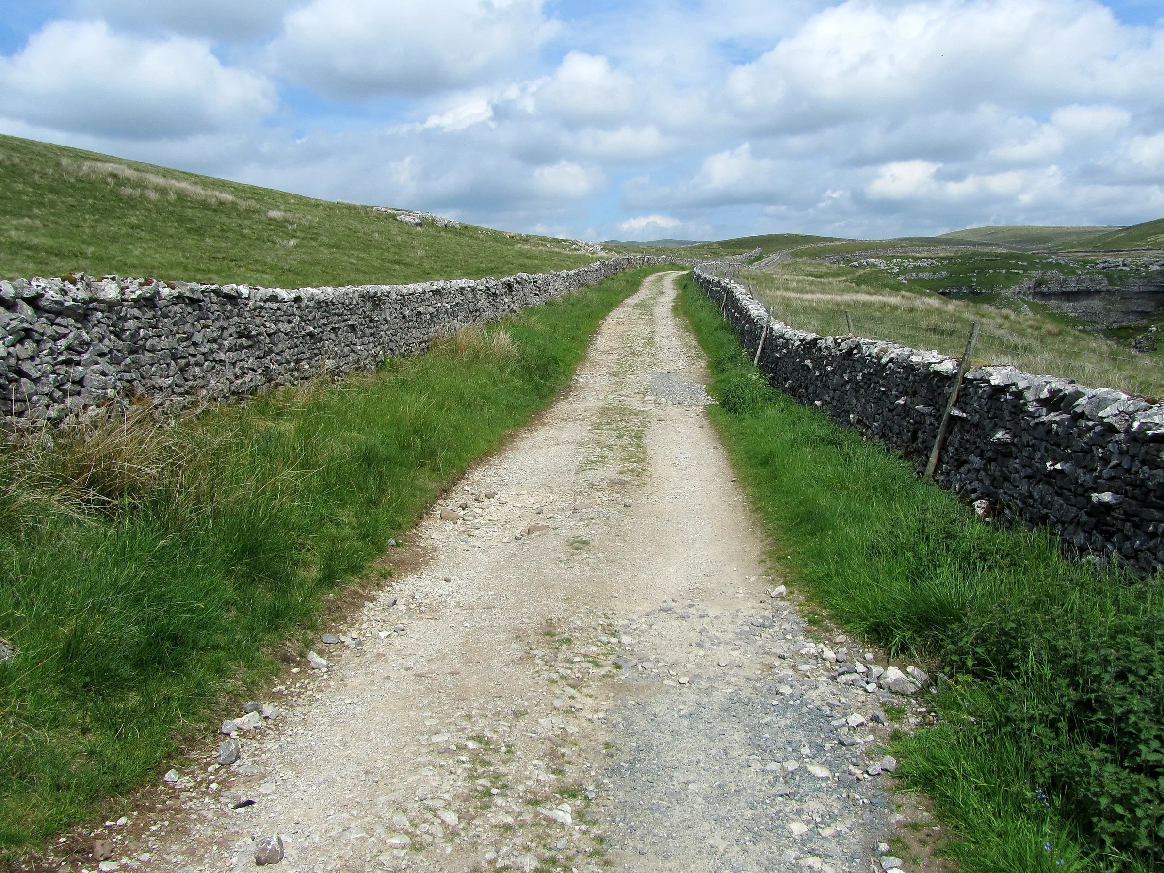
Down Horton Scar Lane1.8 mi · 152m downGo through the gate and follow the Pennine Way down the walled track of Horton Scar Lane, with the long line of Pen-y-ghent and Plover Hill on your left, through a couple more gates. Near the village the track splits; take the right fork and go through a wooden gate onto the road. Turn right, cross the road and walk back to the car park.
Use the route on OS Maps, AllTrails or Komoot to navigate on the day; this guide is for planning.
Parking
The walk starts from the Yorkshire Dales National Park car park at the north end of Horton-in-Ribblesdale, beside the B6479 (BD24 0HF; postcodes here cover a wide area, so use the Directions button above). From 1 April 2026 it costs £3.80 for up to 2 hours, £6.00 for over 2 hours and £7.00 for up to 24 hours. The machines take cards only; cash is only accepted inside the National Park Visitor Centres, and there isn't one at Horton. There are EV charging points and public toilets, open 24 hours. It's a busy start for Pen-y-ghent and the Three Peaks, and it can be full by mid-morning at weekends, so arrive early; if it's full, see Alternative Parking. Sleeping in vehicles overnight isn't allowed. Check the latest prices here.
Coming by train? Horton-in-Ribblesdale station, on the Settle–Carlisle line, is about a quarter of a mile west of the car park.
*Prices correct at time of writing; check before you travel.
Alternative Parking
Facilities & Hospitality
In the National Park car park at the start and finish, open 24 hours a day, with an accessible toilet that takes a RADAR key and baby changing.
About 100m north of the car park, over the bridge (there's no pavement on it, so take care). Right on the Pennine Way, this inn has 10 rooms and Wi-Fi, opens daily from 1PM and serves home-cooked food and local ales, with fires in winter and a beer garden. Dogs are welcome in the bars.
On the route opposite St Oswald's Church, about 0.3 miles from the start. A big multi-roomed pub with bedrooms, bunk barn beds, Wi-Fi and food, and a flag-floored tap room where boots and dogs are welcome.
In the restored station building, a quarter of a mile west of the car park, run by volunteers from the Friends of the Settle–Carlisle Line. It's licensed and serves hot and cold drinks, sandwiches, warm food and puddings. It opened in June 2024 at weekends only, so check it's open before you go.
Weather
Hike Videos
Note: Videos are made by other walkers, not The Lost Peak. They may not follow this exact route, and paths, conditions and facilities may have changed since filming.
Photo Gallery
Photos
Photo credits
Photos without a credit are our own. These are used under Creative Commons licences; thank you to the photographers.
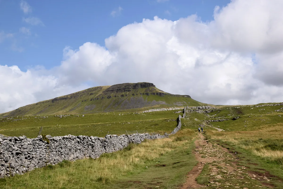 The path up to Pen-y-ghentHero photo · by Bill Harrison, Wikimedia Commons (Geograph)Original photoCC BY-SA 2.0 licence
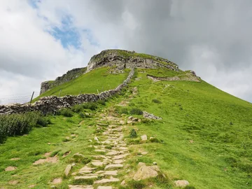 The Pennine Way climbing Pen-y-ghent from the southby Kreuzschnabel, Wikimedia CommonsOriginal photoCC BY-SA 3.0 licence
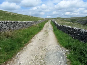
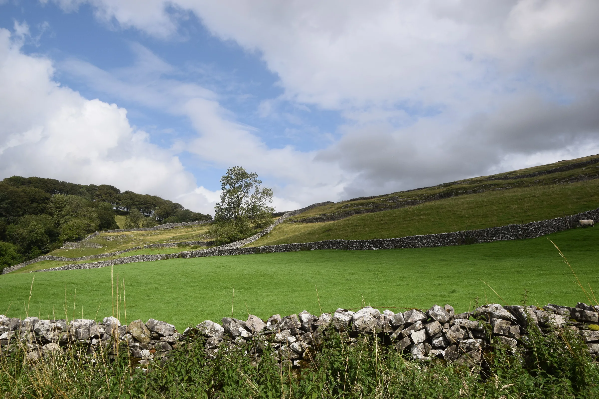
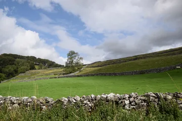 Fields near Brackenbottomby Bill Harrison, Wikimedia Commons (Geograph)Original photoCC BY-SA 2.0 licence
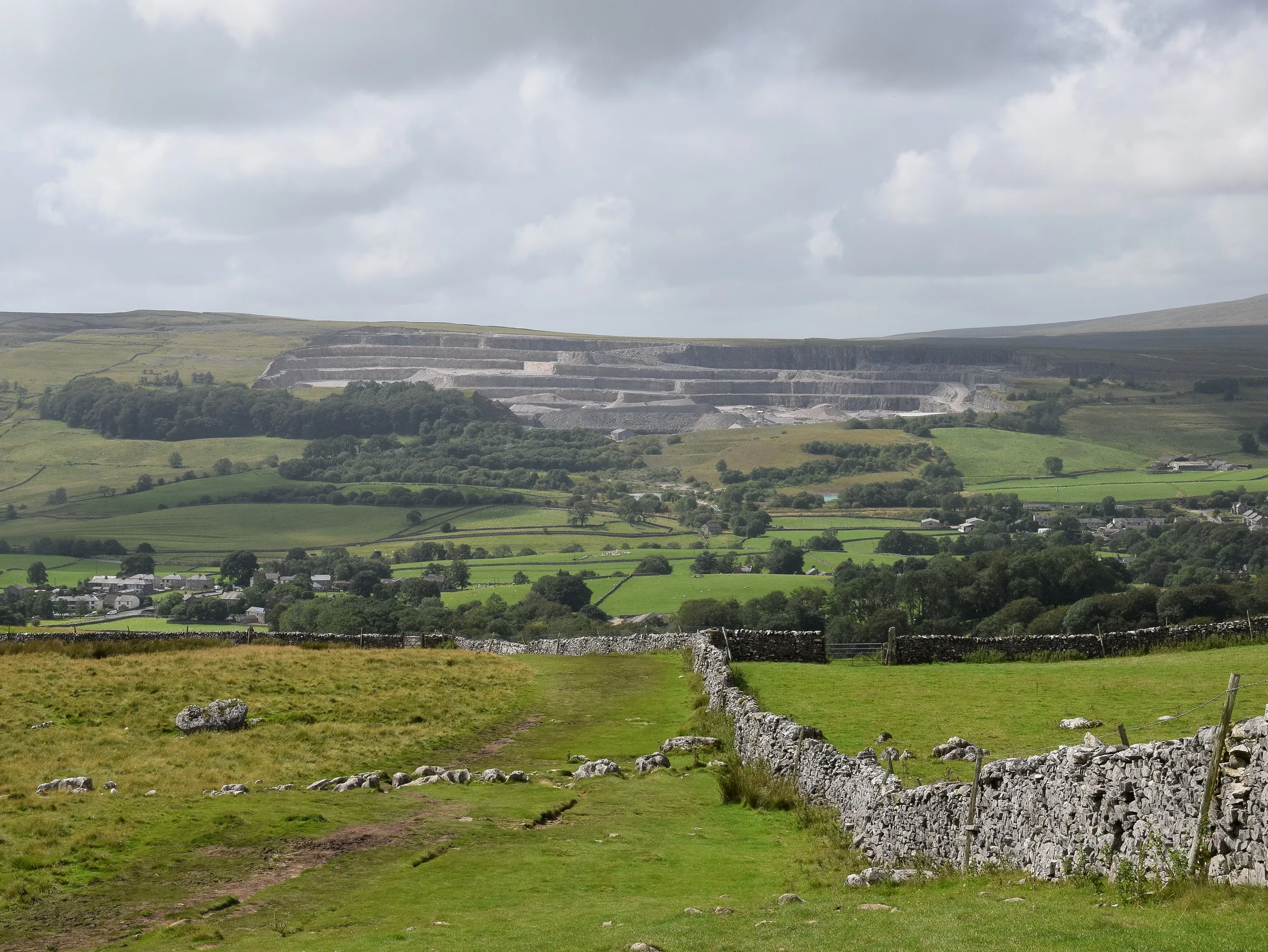
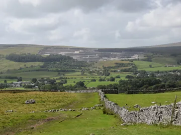 The view from Brackenbottom Scarby Bill Harrison, Wikimedia Commons (Geograph)Original photoCC BY-SA 2.0 licence
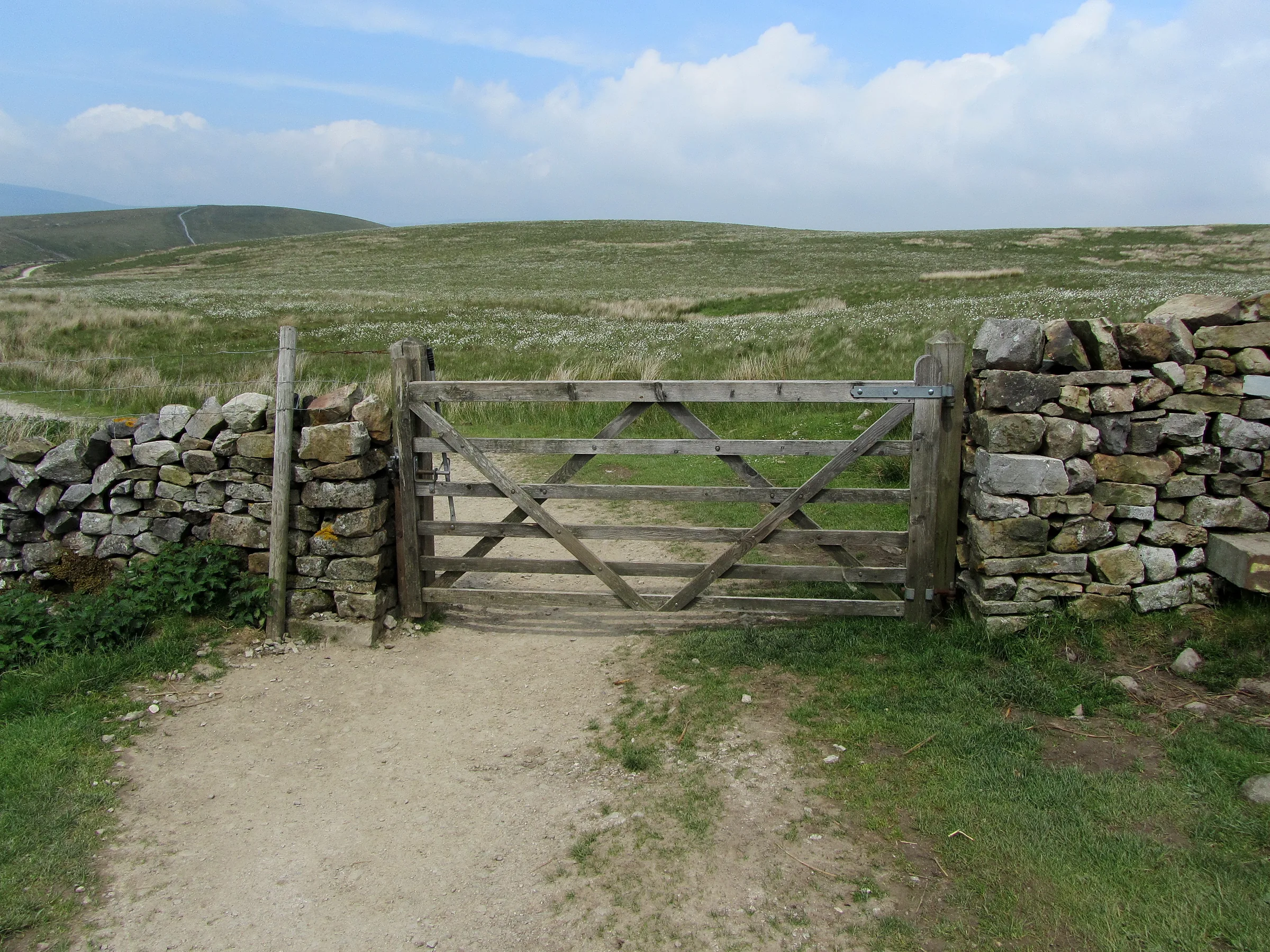
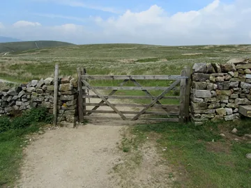 The Pennine Way near Tarn Barby Chris Heaton, Wikimedia Commons (Geograph)Original photoCC BY-SA 2.0 licence
Hints & Tips
Two Steps, Hands Ready
Above the Pennine Way gate at about 2.4 miles, the nose climbs in two short, steep steps of stone stairs and rock, where you may need to use your hands briefly. Take it slowly in the wet, when the rock gets slippery.
No Fence at Hull Pot
Sheer drops ring Hull Pot and there's no fence, so keep dogs on a lead and children close when you go to look over the edge. It's around 18m deep, and there's no walkers' way down into it.
See Hull Pot After Rain
Wet weather is the best time for the detour. In dry spells Hull Pot Beck sinks underground before the rim and reappears as a small waterfall inside the pot; after rain it pours straight over the edge, and in extreme floods the whole chasm can fill to the brim, as it did on 10 January 2023.
Right at the Four-Way Sign
Signposts at the four-way junction at the top of Horton Scar Lane point straight on for the Yorkshire Three Peaks route. For this loop, turn right on the Foxup path for Hull Pot, come back to the sign, then go down the walled lane to Horton.
Early, and Bring a Card
Weekend walkers can fill the Horton car park by mid-morning, even in winter. Its machines only take cards. If it's full, there's roadside parking near St Oswald's Church and a small lay-by on the Brackenbottom lane, both on the route (see Alternative Parking).
The Famous Café Has Gone
Closed since 2019, the Pen-y-ghent Café that older guides recommend for a pint mug of tea won't be open when you pass it. For food after the walk, the Crown Hotel opens daily from 1PM and the Golden Lion Hotel is right on the route by the church.
Interesting Facts
General
Pennegent on Old Maps
Ordnance Survey maps of the 1850s spelled the hill Pennegent. The hyphenated Pen-y-ghent first appears on OS maps in the 1890s, and you'll still see Penyghent and Pen y Ghent today
A Hill Between Two Seas
Summit rain can end up in two different seas: water running east feeds the River Skirfare and flows on to the Humber Estuary, while water running west drops into the River Ribble and out to the Irish Sea
Scars From an 1881 Storm
During a great storm in July 1881, floodwater cascading down Pen-y-ghent stripped away the topsoil and laid bare the rakes, the bare rocky scars you can still see on its western side
England's Biggest Hole?
Hull Pot, a collapsed cavern on the way down, is about 91m long, 18m wide and 18m deep, and is said to be the largest natural hole in England
Clocking In at the Pen-y-ghent Café
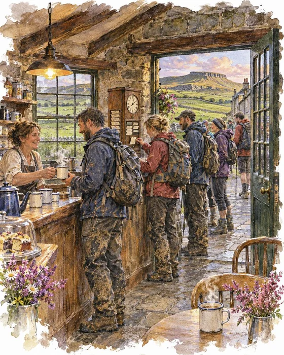
Back in July 1887, J. R. Wynne-Edwards and D. R. Smith made the first recorded round of all three peaks, Pen-y-ghent, Whernside and Ingleborough, in 10 hours. Historically the walk started from Chapel-le-Dale, but that probably changed after a café in Horton began clocking walkers in and out in 1968.
Peter and Joyce Bayes moved to the village in 1965 and turned the Pen-y-ghent Café, which you pass at the start of this walk, into an institution among walkers. They bought an old clocking-in machine from a Lancashire mill. Walkers filled in a free card with their name, address and where their car was parked, stamped it in the clock and handed it in. When they got back, the card was stamped again and posted home, and anyone who'd finished within 12 hours was invited to join the Three Peaks of Yorkshire Club, which the Bayes family founded and ran.
It was a safety service too. The family didn't simply close at the end of the day, but waited on duty until the last tired walkers had clocked back in, while the ping of the clock and pint mugs of tea became part of the Three Peaks day. By 2009 more than a thousand people could pass through in 12 to 14 hours on a busy summer Saturday, with up to 50 waiting at a single stile. The café closed in 2019. Joyce died in 2012, and Peter on 28 January 2022.
The Waters That Never Mix
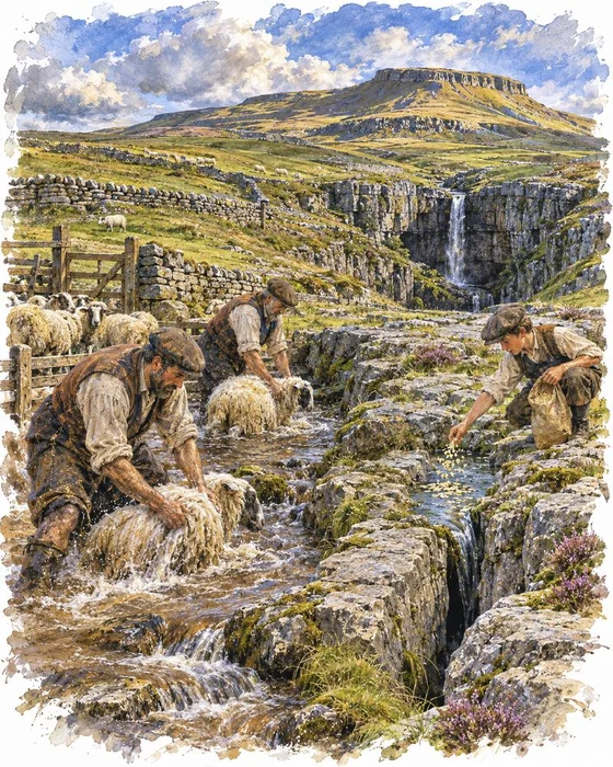
Down on the Pennine Way, the descent passes two of the most striking potholes in the Yorkshire Dales. Hunt Pot is a tight black slit in a terrace of rock, while Hull Pot is a huge open chasm, a collapsed cavern with little to explore underground. An 18th-century guidebook called it Hulpit and said it was like the inside of an enormous old Gothic castle whose roof had fallen in. In dry weather Hull Pot Beck slips underground before it reaches the rim and reappears as a waterfall inside the pot; in flood it pours over the edge, and the whole hole can fill to the brim.
The water doesn't stay at the surface for long. It runs through a cave system under Horton Moor and comes out again at Brants Gill Head, just east of Horton, before flowing into the River Ribble.
Local legend has a stranger story. The streams from Hull Pot and Hunt Pot are said to cross each other underground without ever mixing. According to the tale, recorded by Harry Speight in 1892, it was first noticed when a sheep wash was held in one stream, turning it muddy, while oat husks were dropped into the other. Both came out into the Ribble, the muddy water and the husks each in their own stream, never mixed together.
More Hikes
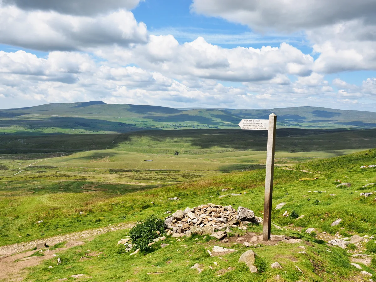 HardYorkshire Three Peaks24.7 mi · 8–14 hrs · 1603m
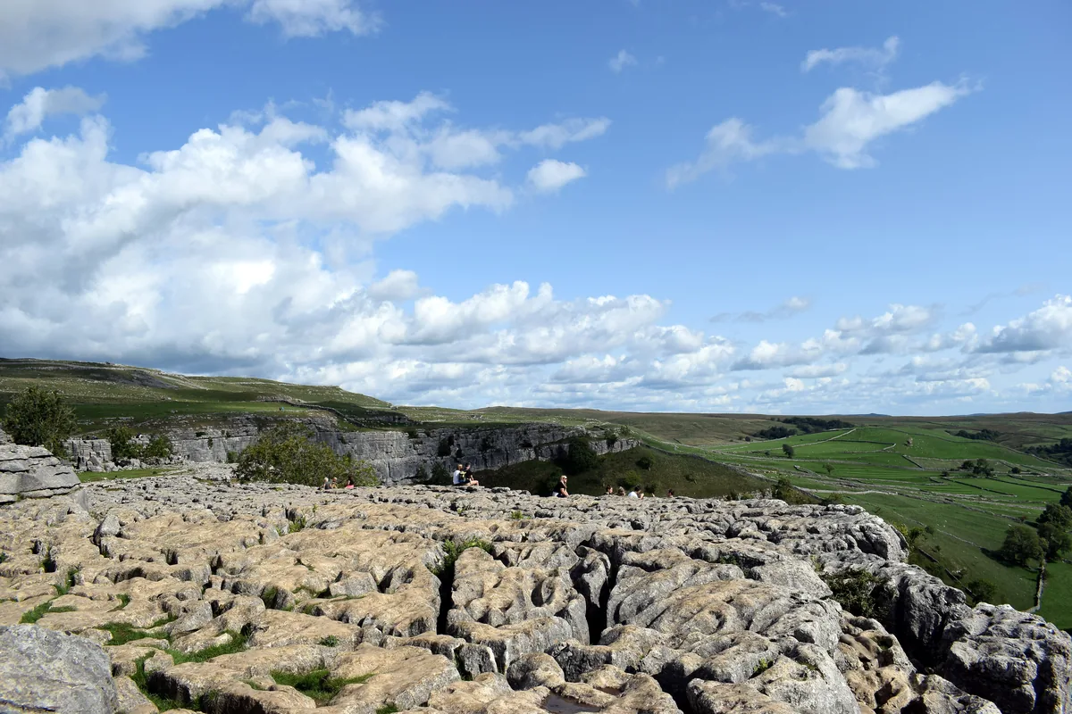 ModerateMalham Cove & Gordale Scar8.5 mi · 4–5 hrs · 300m
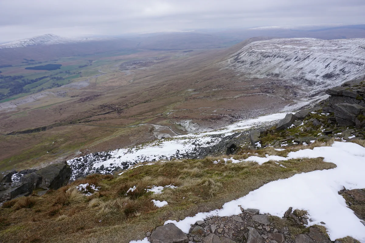 ModerateIngleborough11.3 mi · 5–6 hrs · 707m
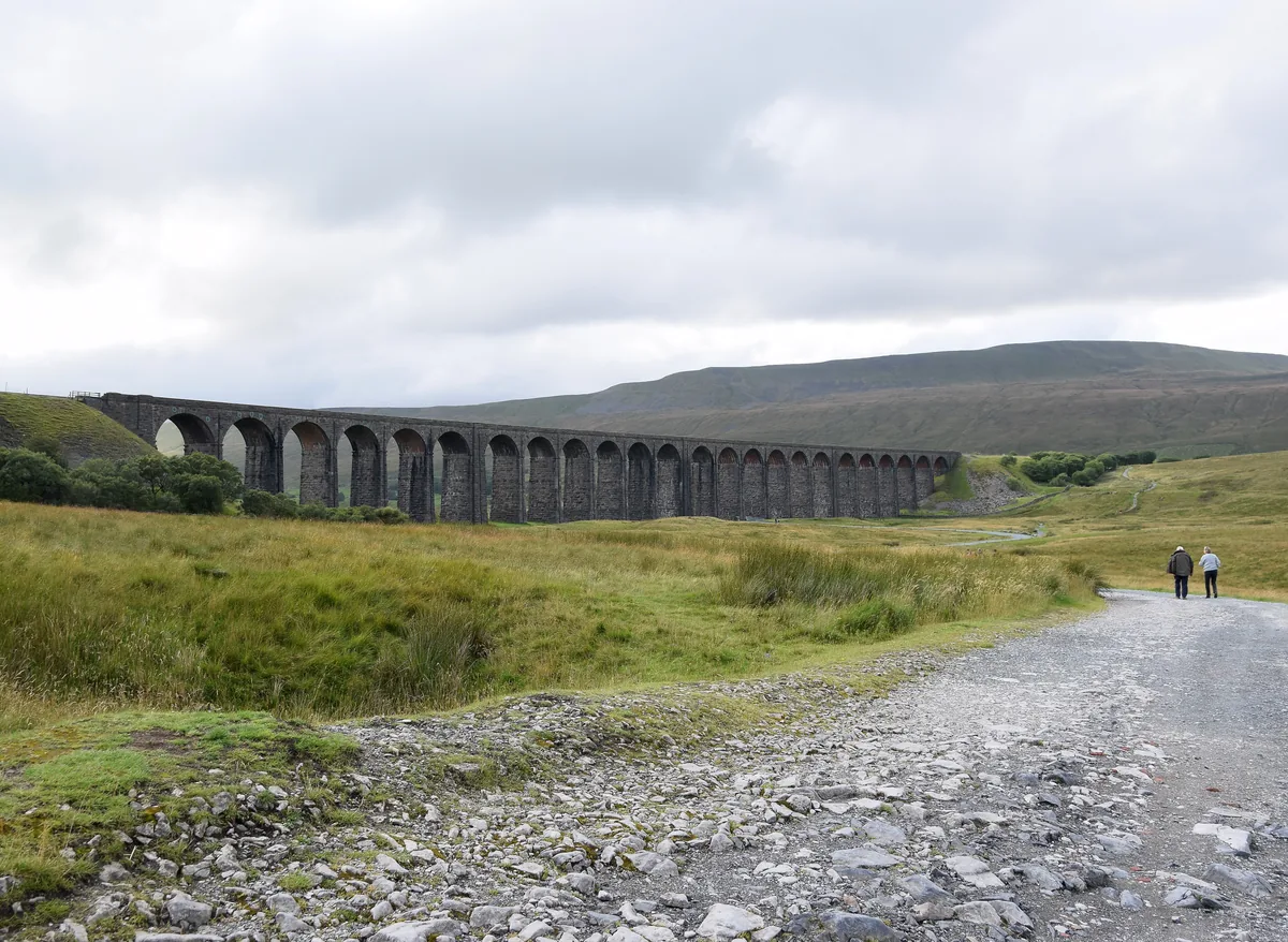 ModerateWhernside8.1 mi · 3–4 hrs · 499m
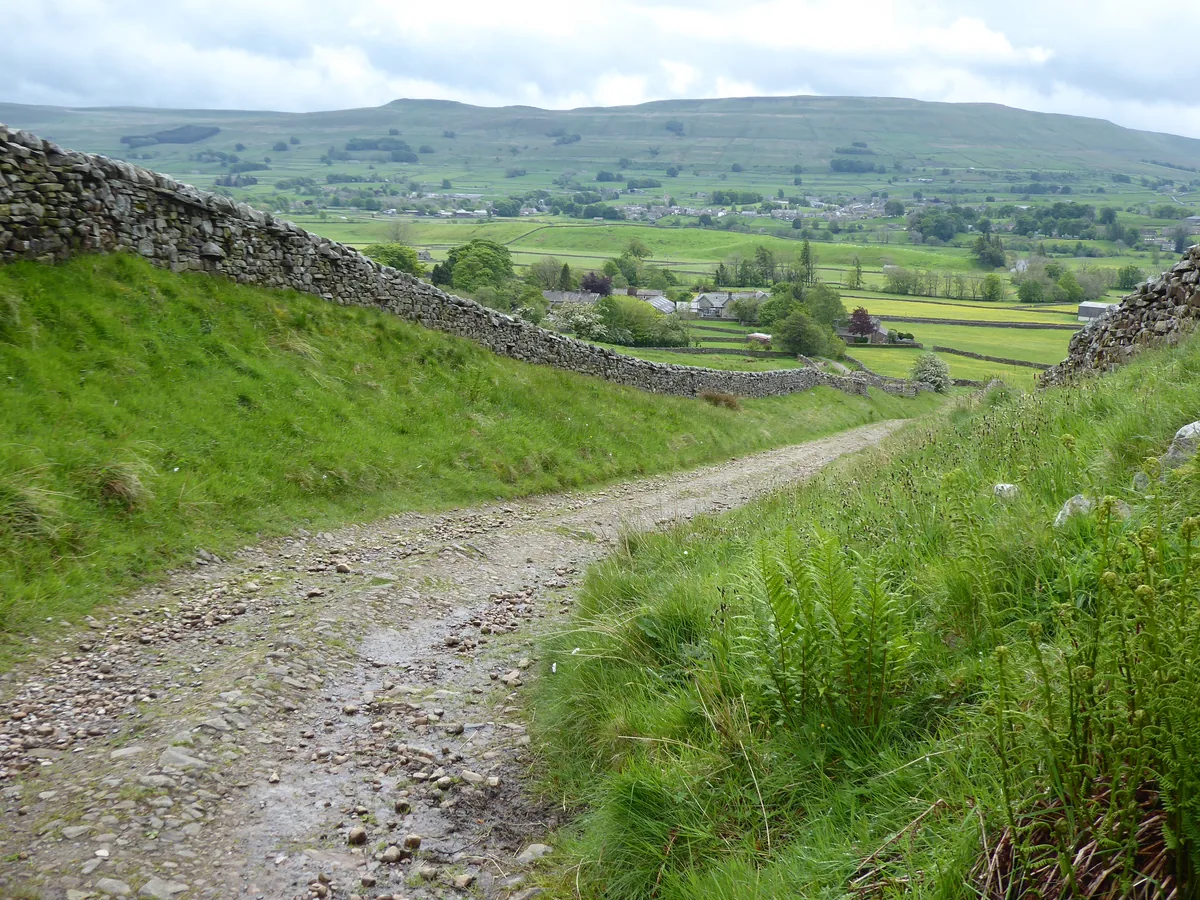 HardGreat Shunner Fell & Hardraw Force12.7 mi · 5–7 hrs · 554m
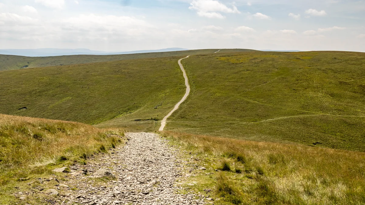 HardThe Calf7.9 mi · 4–5 hrs · 782m
Subscribe for updates on new hikes and National Parks
One email a month with new hikes and routes. No spam.