



Contents
Overview
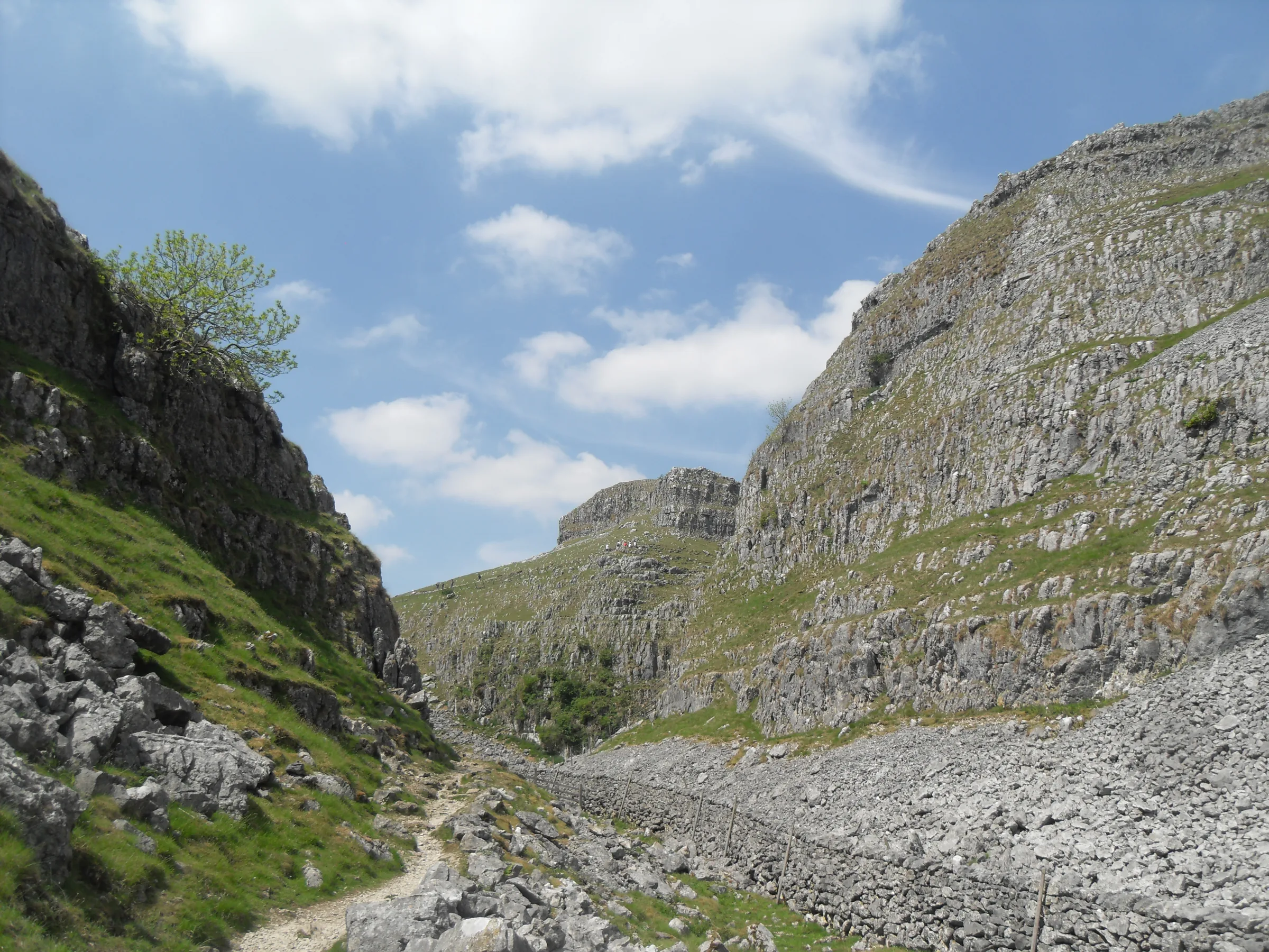
Ice once did the carving here. Malham Cove's curving wall of white limestone, 70m high, was shaped by water and ice over millions of years along the line of the Middle Craven Fault, and when the ground was frozen solid a huge waterfall thundered over its lip. A mile north-east of the village, Gordale Scar is a ravine with overhanging cliffs over 100m high and a waterfall that bursts through a hole in the rock. Add a woodland waterfall said to be home to a fairy queen, the highest marl lake in Britain and a lunar plain of limestone pavement, and it's easy to see why this walk came third in ITV's Britain's Favourite 100 Walks.
Malham National Park Centre is the start. The loop crosses Malham Beck, follows the Pennine Way downstream and turns off through fields and National Trust woodland to Janet's Foss. A short stretch of Gordale Lane leads to Gordale Bridge and the level path into Gordale Scar, where you walk in to the foot of the waterfall and back out again. The National Park asks walkers not to climb the path up the waterfall, because it damages the soft tufa, so this route turns round there and climbs steeply beside a wall over New Close Knotts to rejoin the path above the ravine. It crosses the moor to Street Gate, heads west past Great Close to the Pennine Way above the south shore of Malham Tarn, then turns south past Water Sinks, where the tarn's stream vanishes underground, and down through the dry valley of Watlowes to the limestone pavement on top of Malham Cove. Cross the pavement westwards, go down the stone steps on the west side of the Cove and follow the path beside Malham Beck back into the village.
Go prepared, stay safe,
and enjoy the hike!
Key Info
Crowds
High
Malham is one of the busiest spots in the Yorkshire Dales, and Janet's Foss and the top of the Cove can be packed. Parking is the main pinch point: the village has limited parking at busy times, and in winter the fields used for extra parking may not open.
When it gets busy
- Weekends and bank holidays, when Malham draws large crowds
- Janet's Foss and Malham Cove, the busiest stops on the loop
For a quieter walk
- Go very early, and on a weekday if you can
- Arrive early to get a space at the National Park Centre
- Never park in passing places on the lanes if the car park is full
Our crowd rating is for a typical sunny weekend in spring or summer, in the middle of the day. Timing makes a big difference, so even a busy walk can be quiet early, late or midweek.
The Route
Disclaimer: Route information and GPX files are provided for general guidance only. Conditions can change, so always use your own judgement and navigate responsibly. See our Terms of Use & Disclaimer for more information.
Route Guide
- 1
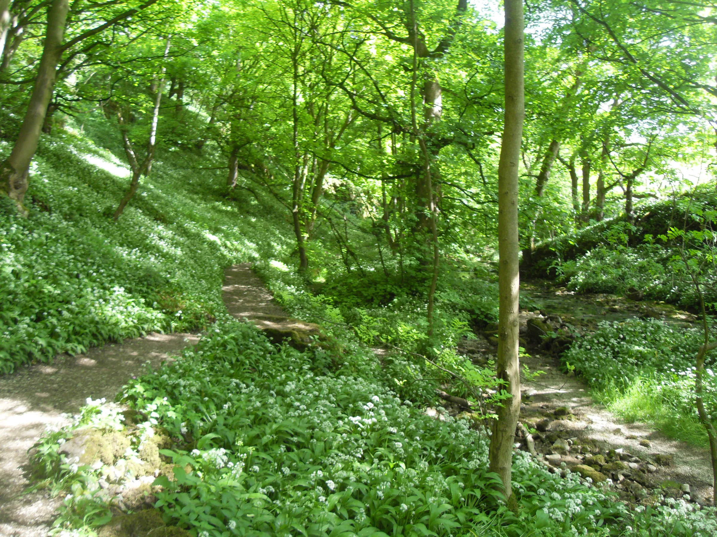
Through Malham to Janet's Foss1.4 mi · 56m up · 28m downFrom the National Park Centre car park, walk into the village along Chapel Gate and cross Malham Beck by the footbridge, then turn right onto the Pennine Way and follow it downstream beside the beck. At a kissing gate, turn left off the Pennine Way on the signed path to Janet's Foss and follow it east across the fields beside Gordale Beck for about 15 minutes. It then enters National Trust woodland and leads on through the trees to the waterfall and its pool at about 1.2 miles.
- 2
Into Gordale Scar and Back1.0 mi · 23m up · 23m downClimb out on the path to the left of the falls, cross a field to Gordale Lane and turn right, past Gordale Bridge and round the right-hand bend. Go through the gate on the left and follow the level, well-surfaced path beside Gordale Beck into the gorge, with its overhanging cliffs closing in above you. Walk in as far as the foot of the waterfall at about 1.7 miles. Don't climb the waterfall: the National Park asks walkers not to use the path up it, because climbing damages the tufa. Retrace your steps to the gate by Gordale Bridge.
- 3
Up New Close Knotts0.9 mi · 141m up · 5m downBack on the lane, turn right and go about 40m to the gateway at Gordale Bridge signposted "Malham Cove 1 mile". Follow the wall uphill to a second gate, then turn sharp right (north-east), pass a third gate and climb steeply beside the wall onto New Close Knotts, towards the crags. The path here is unmarked, but the wall leads the way. Follow the cliff edge along the top of the ravine, then drop to rejoin the main path above the gorge at about 2.9 miles.
- 4
Across to Malham Tarn2.5 mi · 42m up · 47m downFollow the path north-west across the moor, keeping left of a dry valley, to the ladder stile at the Malham Tarn road, then take the wide path to Street Gate at about 3.7 miles. Carry on north along the track with a wall on your right to a gate by Great Close Plantation, then turn left along the wall and skirt the south edge of the second plantation. Turn right onto a gravel track and almost straight away left onto the Pennine Way, which runs above the southern end of Malham Tarn to Tarn Foot, where the tarn's stream flows out, and on to the road by Watersinks car park at about 5.1 miles.
- 5
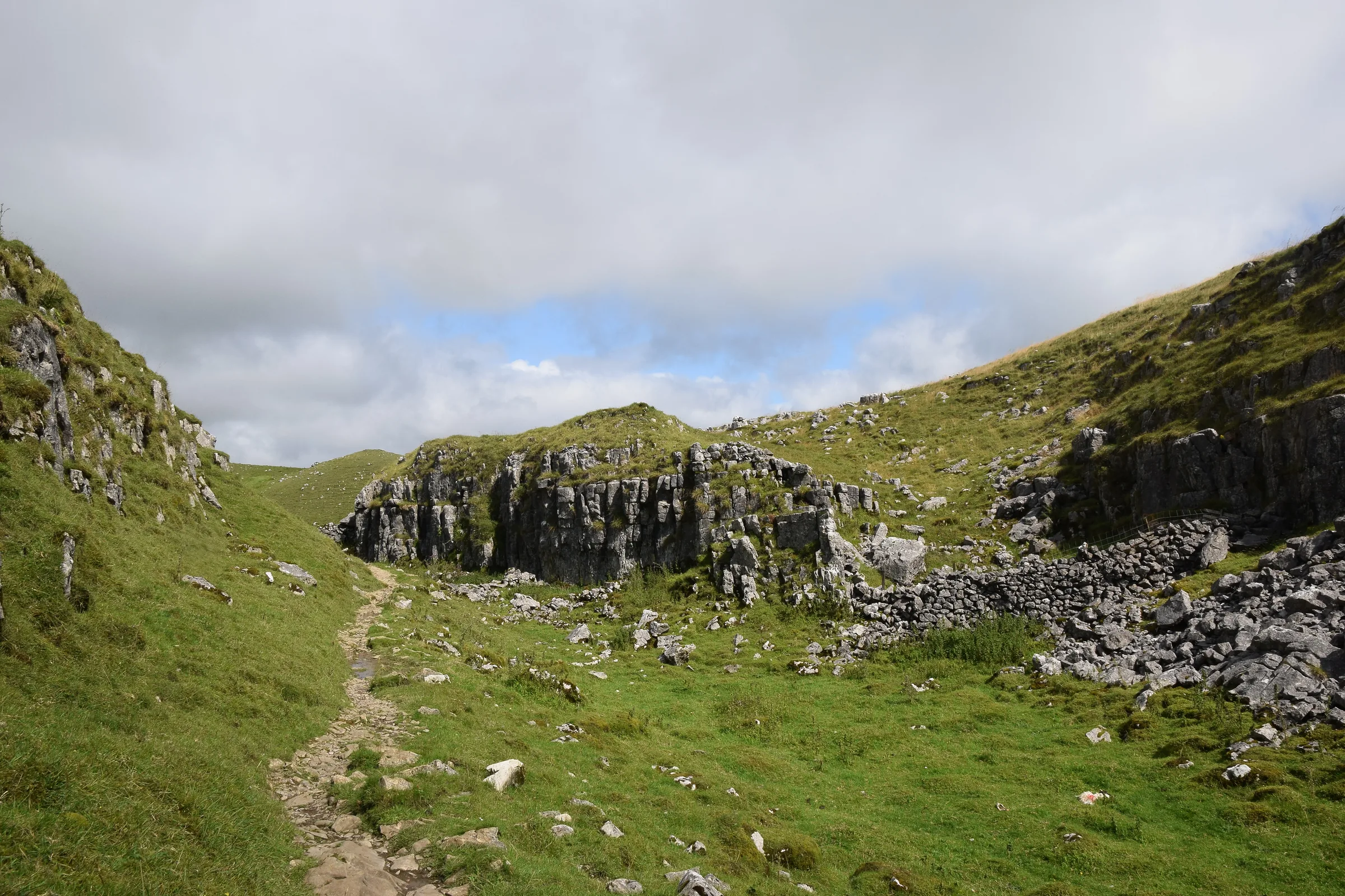
Water Sinks and Watlowes1.3 mi · 19m up · 75m downTurn right along the road, cross the stream and go through the gate on the left onto the Pennine Way. After about 100m, turn left at the signpost to Water Sinks, where the stream from the tarn disappears underground. Follow the rocky, often muddy path south through the dry valley for about 5 minutes to a clearing, keep left and cross the stile on the left. A steep, rocky path drops to the floor of Watlowes, the dry valley that leads to the head of Malham Cove at about 6.3 miles.
- 6
Over the Pavement and Down the Steps1.4 mi · 19m up · 122m downTurn right (west) along the top of the Cove, crossing the limestone pavement or the crags to its right, and keep well back from the edge. Where the rocks end, the path drops left through a gate and down the long flight of stone steps on the west side of the Cove. After the gate at the bottom you can take a short detour left to see the cliff from below, where Malham Beck flows out at its foot. Then follow the path south above the beck to Cove Road on the edge of the village, turn left and walk back through Malham to the National Park Centre.
Use the route on OS Maps, AllTrails or Komoot to navigate on the day; this guide is for planning.
Parking
The walk starts from the car park at Malham National Park Visitor Centre, on your left as you drive into the village from the south (SD 900627 · Postcode BD23 4DA). It's run by the Yorkshire Dales National Park Authority, and since 1 April 2026 it has cost £3.80 for up to 2 hours, £6.00 for over 2 hours and £7.00 for up to 24 hours; most people take 4 to 5 hours on this loop, so you'll need at least the over 2 hours ticket. The machines take cards only, but you can pay cash inside the Visitor Centre during its opening hours. The car park and its toilets are always open, even when the centre is closed, and there's an electric car charge point. Overnight stays in vehicles aren't allowed. Malham gets very busy and parking is limited at busy times; if the car park is full, see Alternative Parking. Check the latest prices here.
The lanes into Malham are narrow, with passing places: never park in them, and leave room for farm and emergency vehicles.
*Prices correct at time of writing; check before you travel.
Alternative Parking
Facilities & Hospitality
Public toilets in the National Park Centre car park, right at the start and finish. They're open 24 hours a day, even when the Visitor Centre is closed, and include a RADAR toilet and a Changing Places toilet.
A tearoom on Chapel Gate, just across from the start, serving homemade cakes, light meals and snacks, from a full breakfast to a cream tea. It also has two holiday lets overlooking Malham Beck.
A boutique inn in the middle of the village, a few minutes' walk from the start, with food and drink and bedrooms.
Weather
Hike Videos
Note: Videos are made by other walkers, not The Lost Peak. They may not follow this exact route, and paths, conditions and facilities may have changed since filming.
Photo Gallery
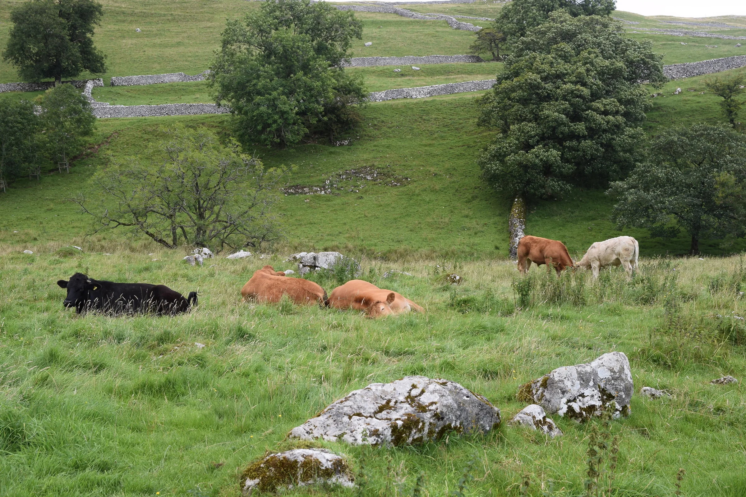
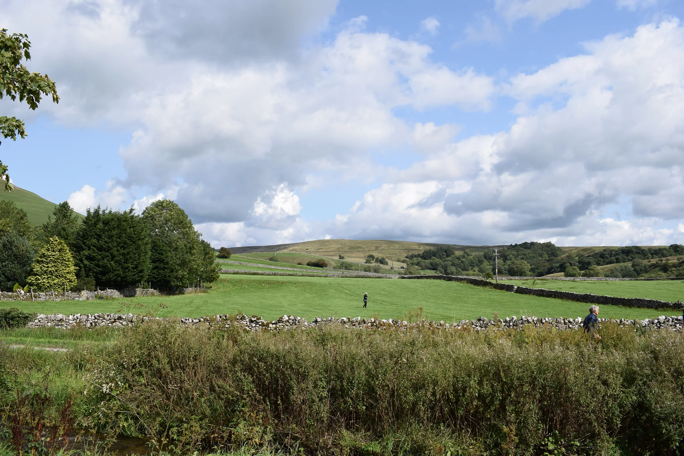
Photos
Photo credits
Photos without a credit are our own. These are used under Creative Commons licences; thank you to the photographers.
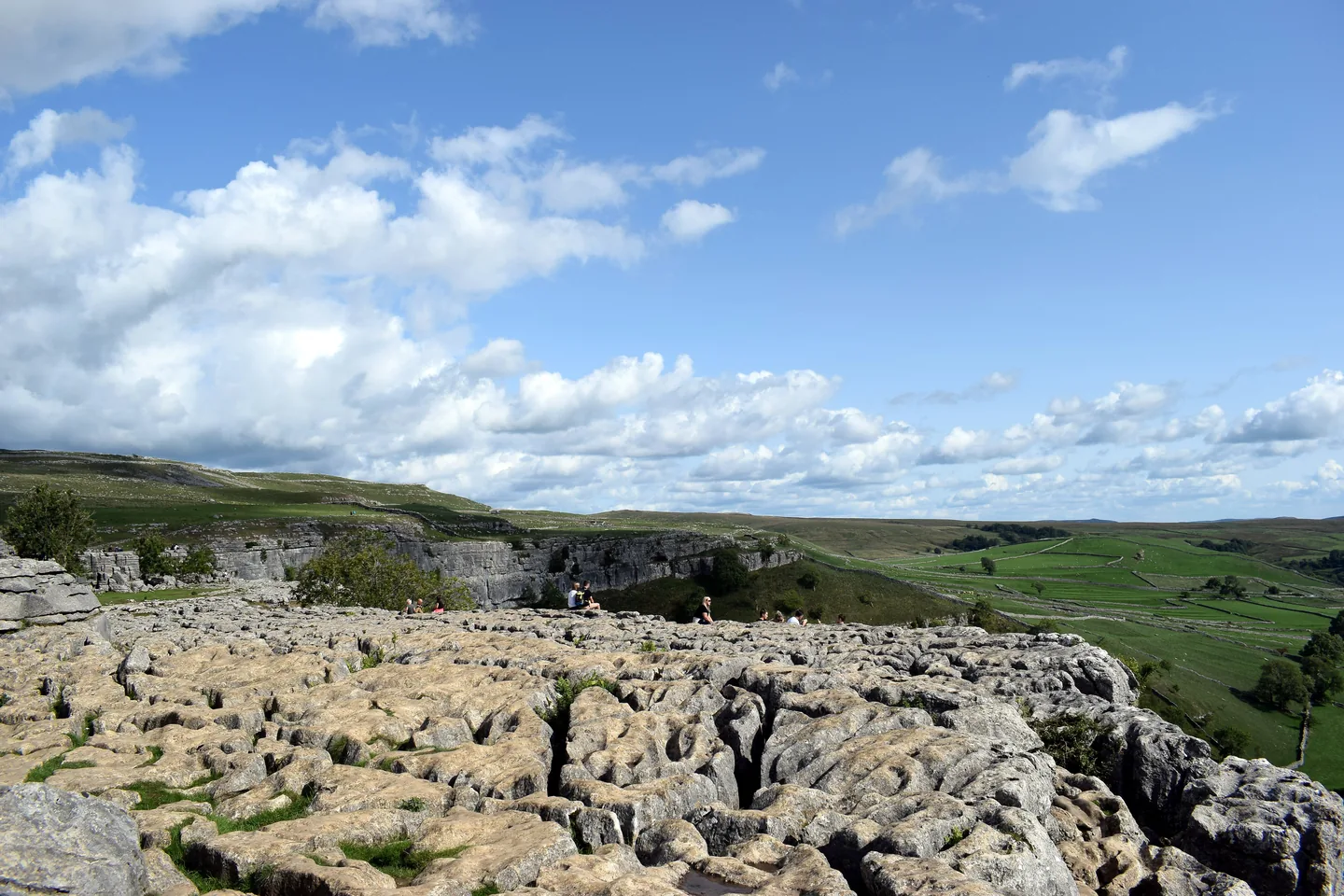
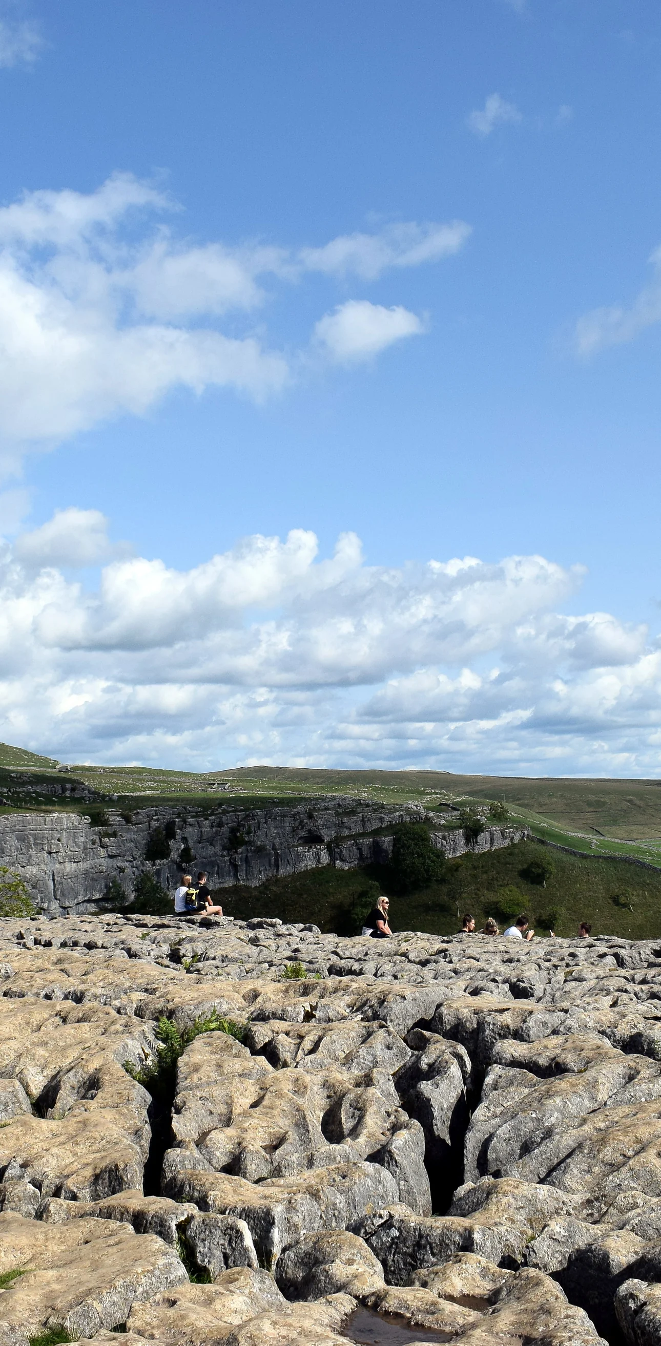
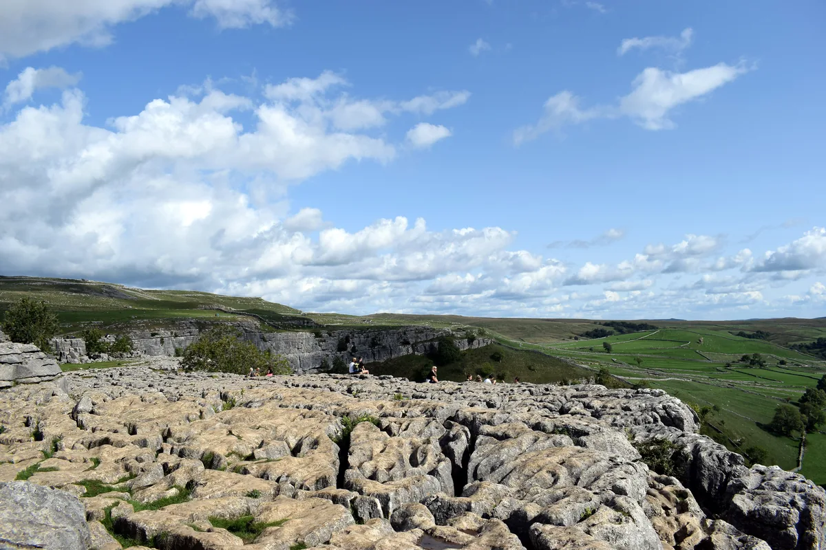 The limestone pavement on top of Malham CoveHero photo · by Bill Harrison, Wikimedia Commons (Geograph)Original photoCC BY-SA 2.0 licence
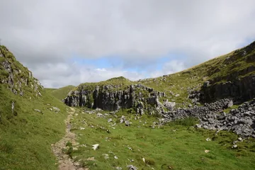 Descending Comb Hill on the Pennine Wayby Bill Harrison, Wikimedia Commons (Geograph)Original photoCC BY-SA 2.0 licence
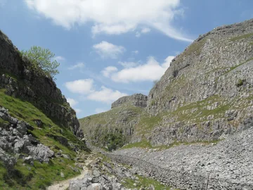
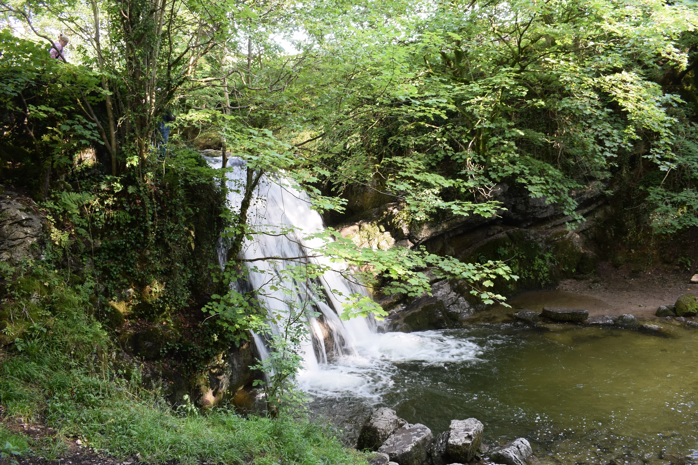
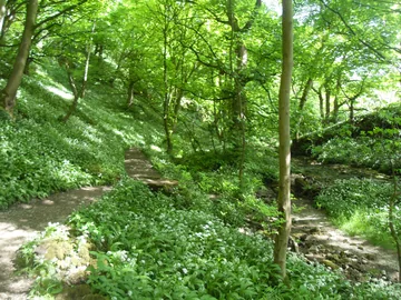 The wooded ravine leading to Janet's Fossby Anthony Parkes, Wikimedia Commons (Geograph)Original photoCC BY-SA 2.0 licence
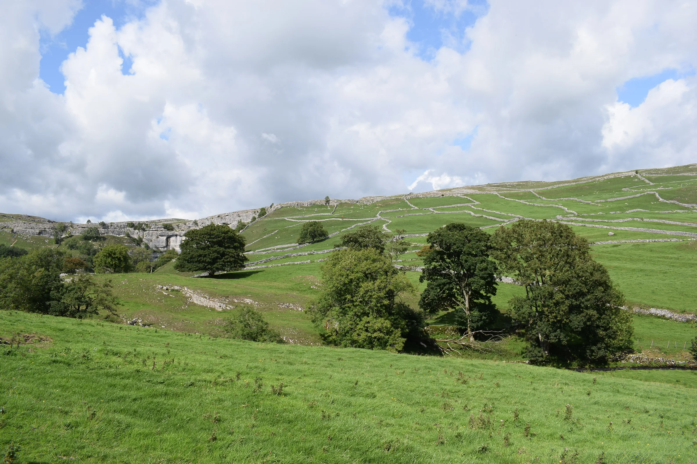
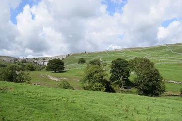 Malhamdale, looking towards Malham Coveby Bill Harrison, Wikimedia Commons (Geograph)Original photoCC BY-SA 2.0 licence
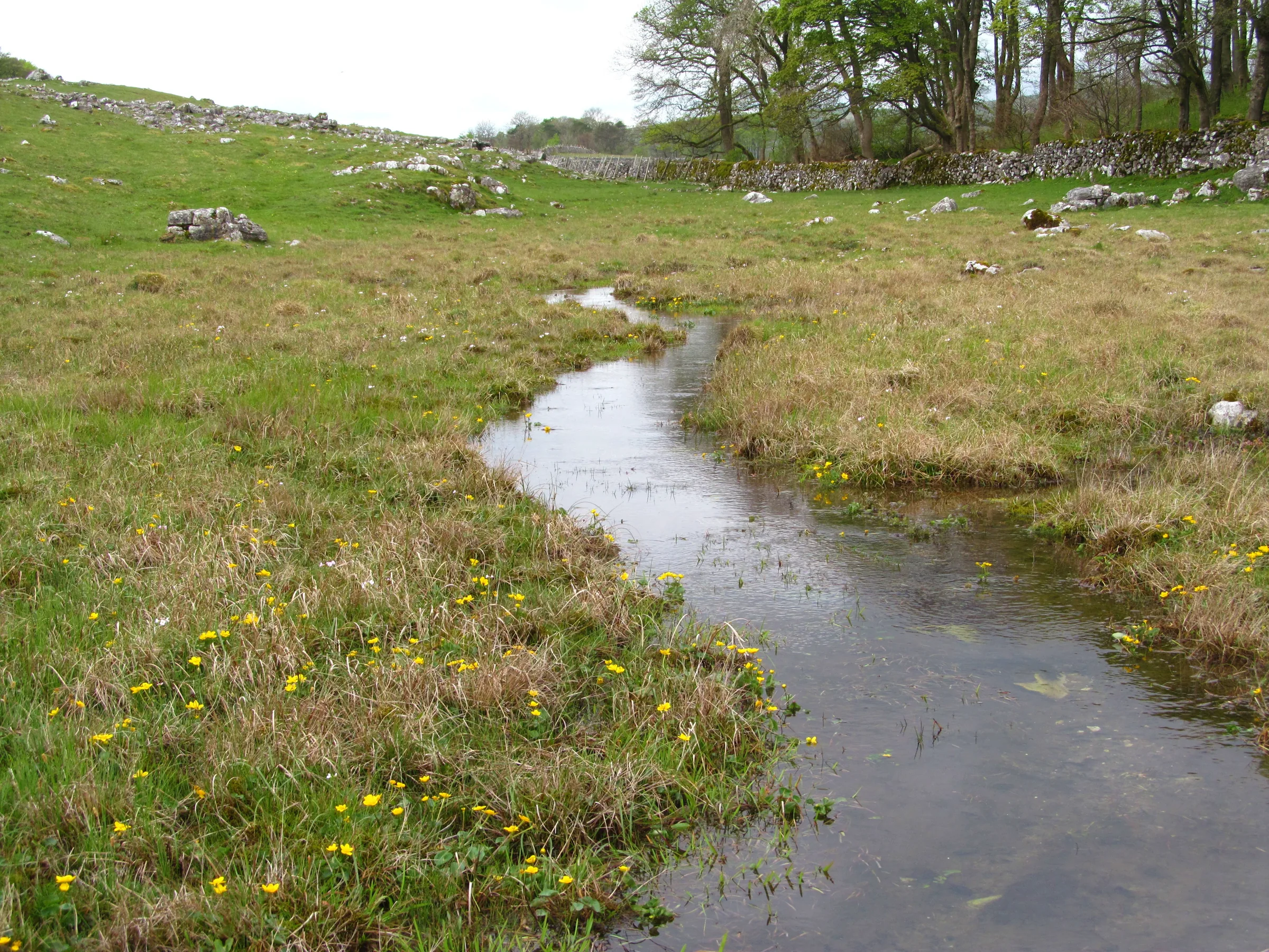
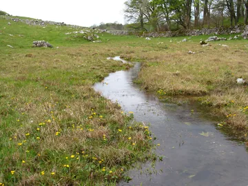 A small beck at Great Closeby Gordon Hatton, Wikimedia Commons (Geograph)Original photoCC BY-SA 2.0 licence
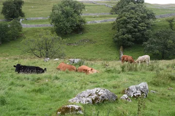
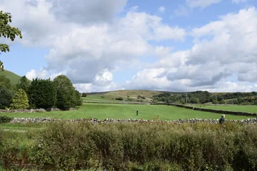 The footpath near Malhamby Bill Harrison, Wikimedia Commons (Geograph)Original photoCC BY-SA 2.0 licence
Hints & Tips
Walk Round the Waterfall
Many route guides send you up the waterfall in Gordale Scar, a short scramble on polished, often wet rock. The National Park asks walkers not to climb it, because it damages the tufa, the soft rock the falls have built up. This route walks in to the foot of the falls, then goes back to Gordale Bridge and up beside the wall on New Close Knotts. That climb is steep and unmarked, so keep the wall close and it leads you onto the path above the ravine.
Bring a Card for the Machines
Malham's pay machines are card-only. If you'd rather pay cash, you can do it inside the National Park Visitor Centre while it's open. Since this loop takes most people 4 to 5 hours, the £3.80 two-hour ticket won't cover it: buy the £6.00 over 2 hours ticket or more.
Clints, Grikes and a Long Drop
The pavement on top of Malham Cove is a maze of flat blocks (clints) and deep cracks (grikes), and it's slippery when wet. Take your time crossing it, watch where you put your feet, and keep well back from the lip of the Cove: it's a 70m drop.
Peregrines on the Cliff
Since 1993 peregrine falcons have nested on Malham Cove, and they're fully protected by law. An area at the top of the cliff has been roped off to stop people walking down onto the large ledge, and the National Park asks visitors not to fly drones at the Cove at all.
Rocky Ground into Watlowes
South of Water Sinks the path through the dry valley is rocky and often muddy, and the drop into Watlowes over the stile is steep and rocky. Take it slowly, and give the steps down off the Cove the same care after rain.
Dogs, Sheep and the Boardwalk
Sheep graze much of this walk, and five were killed by dogs in Malhamdale in 2019, so keep dogs on a lead. Dogs are welcome round Malham Tarn on leads, but they aren't allowed on the boardwalk of the National Nature Reserve.
Interesting Facts
General
The Fairy Queen's Falls
Foss is a Nordic word for waterfall. The Janet in Janet's Foss is thought to be a fairy queen who lives in the cave behind the falls, and the pool below was traditionally used for dipping sheep, an event that drew the villagers in as a social occasion
Two Streams Crossing
Dye tests showed that the stream sinking at Water Sinks is not the one that flows out at the foot of Malham Cove. The two cross deep behind the cliff without mixing; the Water Sinks stream doesn't come out until Aire Head, south of the village
Where Water-Babies Began
Charles Kingsley stayed at Malham Tarn House with its owner, Walter Morrison, in 1858, and is thought to have been inspired there to write The Water-Babies, published in full in 1863
A Wizard's Campsite
Harry Potter fans may know the view: Malham Cove is one of the places Harry and Hermione visit in Harry Potter and the Deathly Hallows Part 1, with scenes filmed on the limestone pavement in November 2009
When the Cove Was a Waterfall
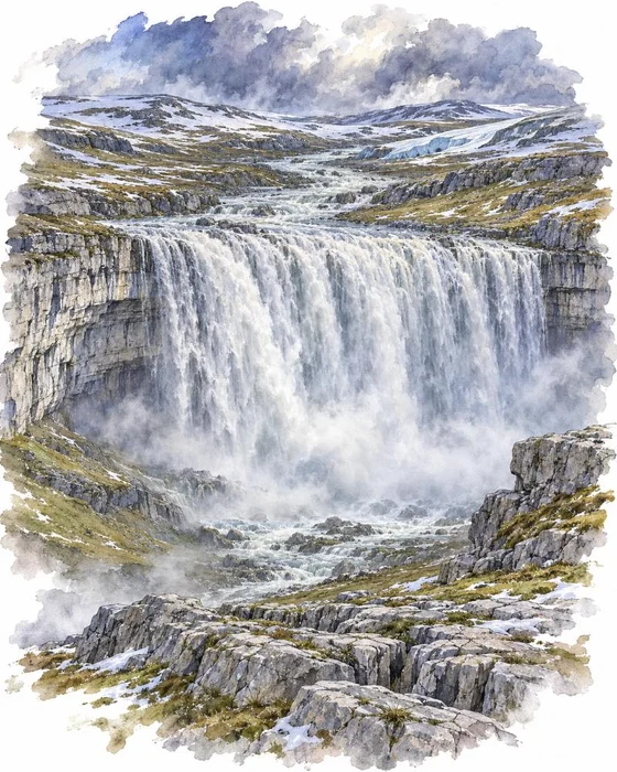
Over the last one and a half million years, Malham was probably buried under huge sheets of ice at least three times. As the glaciers ground over the landscape they plucked rock from the face of the Cove and carried it away, and each time they melted, floods of meltwater wore the face back further. Because the ground was frozen solid, the water couldn't sink into the limestone as it does today. It had to run over the top, and a massive waterfall thundered over the Cove.
That ancient fall was more than 300m wide. The water pouring over the lip wore away the middle faster than the sides, which is what gave the Cove its curved, amphitheatre shape. Today the streams go underground long before they reach the edge. Behind the cliff lies a complex cave system, and cave divers going in through the cave at its foot have explored about a mile of it.
In 2015 the Cove briefly became a waterfall again. On 6 December, after the torrential rain of Storm Desmond, water poured over the lip for what is believed to be the first time since 1824.
Gordale Scar on a Giant Canvas
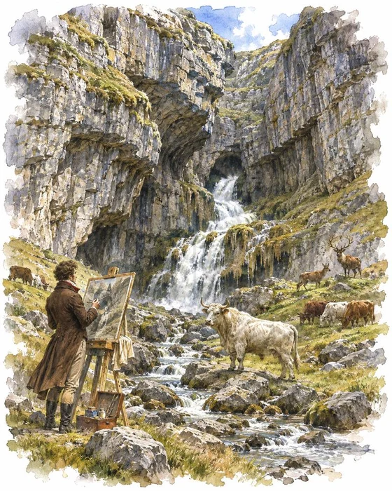
Gordale Scar has drawn artists and writers for hundreds of years, and one of them painted it bigger than life. Between about 1812 and 1814 James Ward painted the gorge for the local landowner, Lord Ribblesdale, on a canvas 3.3m high and 4.2m wide. He made the cliffs look even taller than they are by subtly bending the perspective, and filled the foreground with deer and cattle, among them a white bull from the Chillingham herd that seems to stand guard over the cleft of Gordale Beck.
Ward was working in the last years of the Napoleonic Wars, and the Tate describes the painting as a national landscape, primordial and unchanging, defended by John Bull in the form of a bull. It was shown at the Royal Academy in 1815, and the Tate says it epitomised the awe of the fashionable Sublime landscape. The Tate bought it in 1878 and it's in the collection of Tate Britain, as is a picture of the scar that J. M. W. Turner painted in 1816.
William Wordsworth wrote a sonnet about Gordale too, comparing the chasm to a lair where young lions lie. In 1982 the waterfall became an exterior filming location for The Dark Crystal.
More Hikes
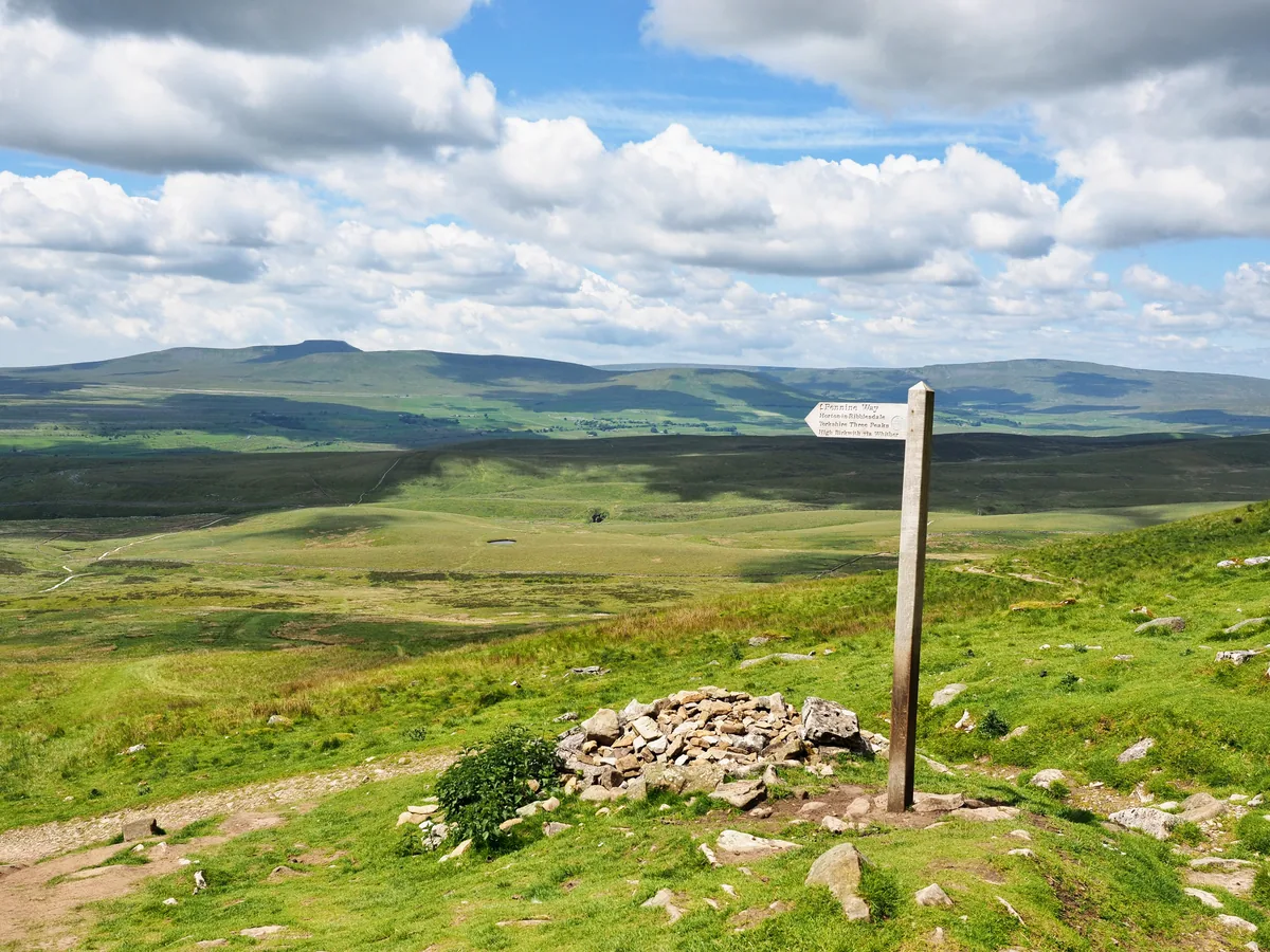 HardYorkshire Three Peaks24.7 mi · 8–14 hrs · 1603m
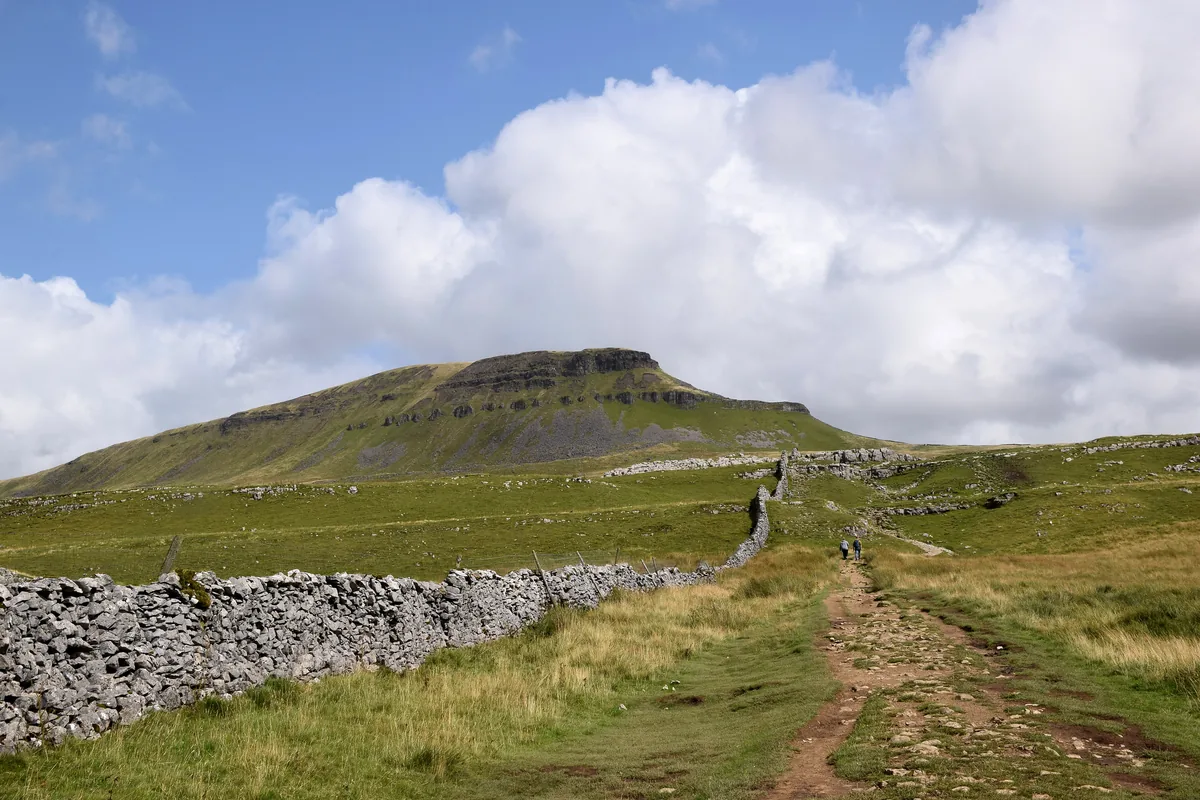 ModeratePen-y-ghent6.6 mi · 3–4½ hrs · 477m
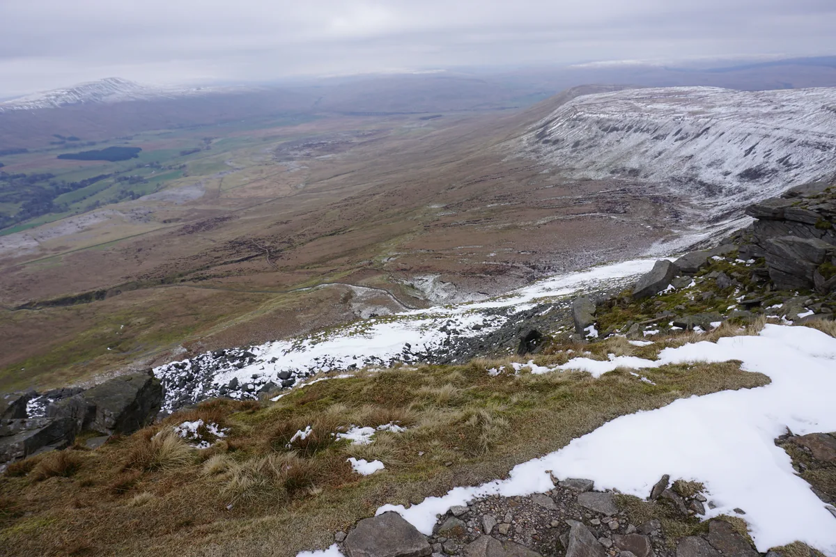 ModerateIngleborough11.3 mi · 5–6 hrs · 707m
 ModerateWhernside8.1 mi · 3–4 hrs · 499m
 HardGreat Shunner Fell & Hardraw Force12.7 mi · 5–7 hrs · 554m
 HardThe Calf7.9 mi · 4–5 hrs · 782m
Subscribe for updates on new hikes and National Parks
One email a month with new hikes and routes. No spam.