



Contents
Overview
Underneath Ingleborough's southern slopes run some 21km of cave passages. At 723m, Ingleborough is the second-highest peak in the Yorkshire Dales and one of the Yorkshire Three Peaks, and on this side of it a stream called Fell Beck pours straight down the 98m shaft of Gaping Gill, the tallest unbroken waterfall in the UK, before coming back out into daylight beside Ingleborough Cave and running down through Clapham. Up top, the broad summit plateau is a Scheduled Monument, edged by the tumbled wall of a hillfort.
For the first mile and a quarter you follow Clapham Beck: from the National Park car park the loop takes the Ingleborough Estate Nature Trail, a small paid trail through the woods of the Farrer family's estate up the valley to Ingleborough Cave. Beyond the cave the path turns into Trow Gill, a narrow limestone gorge with a scramble at its top, then crosses the open moor to the hollow of Gaping Gill. A steep pull over Little Ingleborough brings you onto the summit plateau and its trig point and cross-shaped shelter. The way home heads east along the path towards Horton in Ribblesdale, across Simon Fell Breast and past an old shooting hut to the crossroads at Sulber, then follows the Pennine Bridleway south-west past Long Scar onto Long Lane, a walled track that drops back to the village through two tunnels below Ingleborough Hall. This is the Estate's own Classic Ingleborough Circular.
Go prepared, stay safe,
and enjoy the hike!
Key Info
Crowds
High
Clapham's car park is the main pinch point on this walk. It fills early, especially at weekends, in the school holidays and in summer, and roadside parking in the village is limited.
When it gets busy
- Weekends and bank holidays, when Clapham's car park fills early
- School holidays and summer
For a quieter walk
- Arrive early to get a space in the car park
- Go on a weekday outside the school holidays
Our crowd rating is for a typical sunny weekend in spring or summer, in the middle of the day. Timing makes a big difference, so even a busy walk can be quiet early, late or midweek.
The Route
Disclaimer: Route information and GPX files are provided for general guidance only. Conditions can change, so always use your own judgement and navigate responsibly. See our Terms of Use & Disclaimer for more information.
Route Guide
- 1
Up the Estate Nature Trail1.5 miLeave the car park, turn right along the road and cross the footbridge over Clapham Beck, then turn right up the road past the waterfall to the Old Sawmill Café, where you pay for the Ingleborough Estate Nature Trail. The trail climbs past the lake and on through the woods beside Clapham Beck for about a mile and a quarter to Ingleborough Cave. To avoid the charge, follow the walled Clapdale Lane to Clapdale Farm instead, then drop right to join the trail track before the cave.
- 2
Through Trow Gill0.8 miPass Ingleborough Cave and carry on up the valley on the main track. After about 0.3 miles, turn sharp left through the gate into Trow Gill, a narrow limestone gorge. The path is narrow, uneven and rocky, and near the top you'll need your hands to scramble up the rocks and out onto the moor.
- 3
Across the Moor to Gaping Gill0.6 miFollow the path with the wall on your right for about three-quarters of a mile, and cross the double stile onto the open fell. A couple of hundred metres further on the path forks: the right-hand branch leads to Gaping Gill, where Fell Beck vanishes into the pothole, and the left-hand branch rejoins it just beyond.
- 4
Over Little Ingleborough1.3 miFrom Gaping Gill the path climbs steeply onto Little Ingleborough, which is the hardest part of the climb. It then follows the ridge north, steeper and more exposed near the top, onto the south-east edge of the summit plateau.
- 5
Onto the Summit Plateau0.5 miTurn left (south-west) across the plateau to the trig point and the cross-shaped shelter, at 723m the highest point of the walk. In mist, take a compass bearing before you leave: from the trig point, a bearing of 70° leads back to where you arrived, and the path down to Horton in Ribblesdale leaves the plateau close by, heading north-east.
- 6
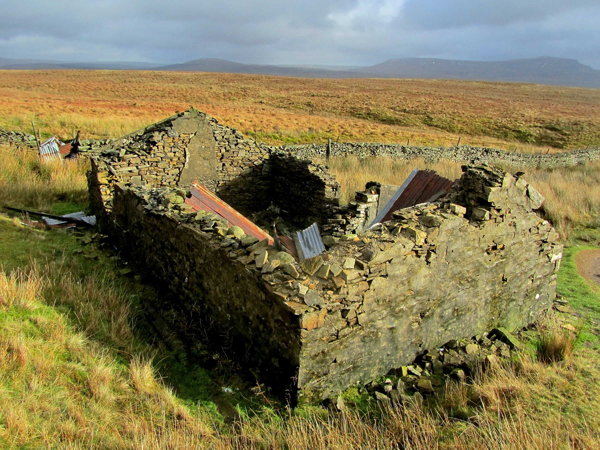
Down Towards Pen-y-ghent2.7 miTake the path north-east off the plateau. It becomes flagged, and at the stone marker where it splits, keep right (the left branch goes to Old Hill). The path heads towards Pen-y-ghent across Simon Fell Breast with a small tarn on your left, crosses a wall, and passes the ruins of an old shooting hut. Through the gate at the next wall, take the left fork, where the path narrows between boulders and the wall, then go through another gate to the four-way fingerpost at Sulber.
- 7
South Over the Limestone1.6 miTurn right at the fingerpost onto the Pennine Bridleway, signed for Clapham, and go through the gate. The track runs south-west over limestone country by Long Scar; bear right at both forks, pass the corner of two walls, and follow the wall to a gate onto Long Lane.
- 8
Long Lane and the Tunnels2.3 miFollow Long Lane, a walled track, down the east side of the valley, with your outward route and the mouth of Trow Gill across to your right. At the T-junction by the corner of a wood, turn right. The lane drops through two tunnels below the grounds of Ingleborough Hall, and the first one is dark in the middle with uneven ground. Follow the track round past the church to the road, turn left and then left again into the car park.
Use the route on OS Maps, AllTrails or Komoot to navigate on the day; this guide is for planning.
Parking
The walk starts from the Yorkshire Dales National Park car park on Church Avenue in Clapham (LA2 8EG), next to the Old Manor House. From 1 April 2026 it costs £3.80 for up to 2 hours, £6 for over 2 hours and £7 for up to 24 hours, and the machines are card only. Most people take 5 to 6 hours on this loop, so you'll need the over 2 hours ticket. There are public toilets in the car park, open 24 hours and including a RADAR accessible toilet, and EV charging points. Clapham gets busy at weekends and in the school holidays, so arrive early. Check the latest prices here.
The Ingleborough Estate Nature Trail has its own small charge, paid at the Old Sawmill Café on the way in (see Tips).
*Prices correct at time of writing; check before you travel.
Facilities & Hospitality
Public toilets in the National Park car park at the start and finish, open 24 hours a day, including a RADAR accessible toilet.
At the entrance to the Ingleborough Estate Nature Trail, in the village's old sawmill, which still houses a preserved water turbine. It has toilets (including disabled facilities) that trail visitors can use while it's open, you buy your trail ticket in its foyer, and dogs on leads are welcome.
An 18th-century coaching inn on Old Road with two bars, a restaurant and rooms, and dogs are welcome. Food is served 5PM to 8PM Monday to Friday, noon to 3PM and 5PM to 8PM on Saturday, and noon to 6PM on Sunday.
A pub in a former manor house from about 1620, right next to the car park, with cask ales, a wood-burning stove and Wi-Fi. It's open afternoons and closed on Tuesdays and Wednesdays, and dogs and families are welcome.
Weather
Hike Videos
Note: Videos are made by other walkers, not The Lost Peak. They may not follow this exact route, and paths, conditions and facilities may have changed since filming.
Photo Gallery
Photos
Photo credits
Photos without a credit are our own. These are used under Creative Commons licences; thank you to the photographers.
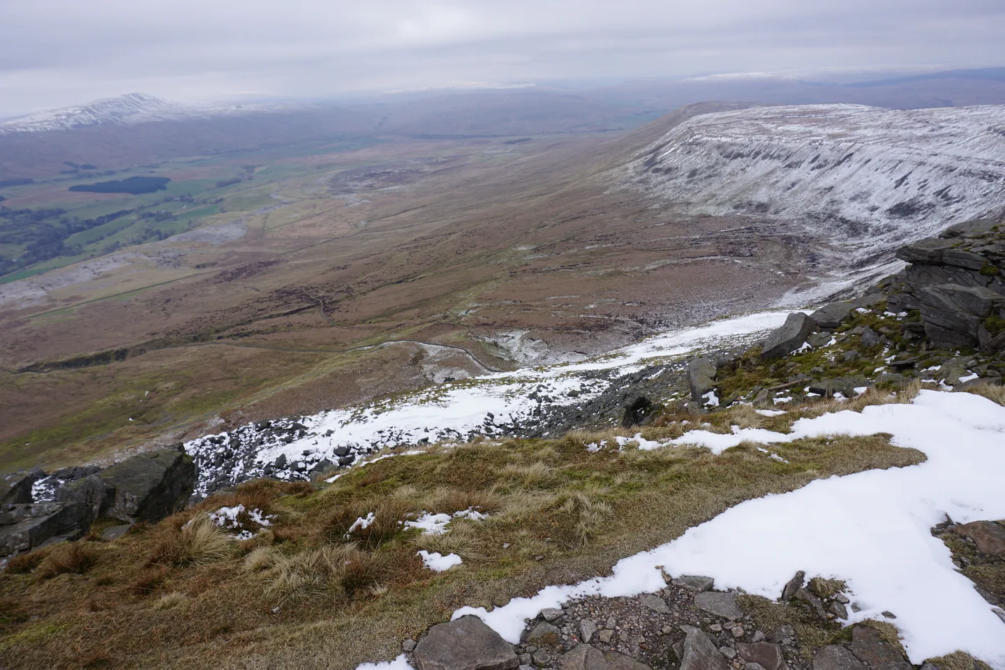
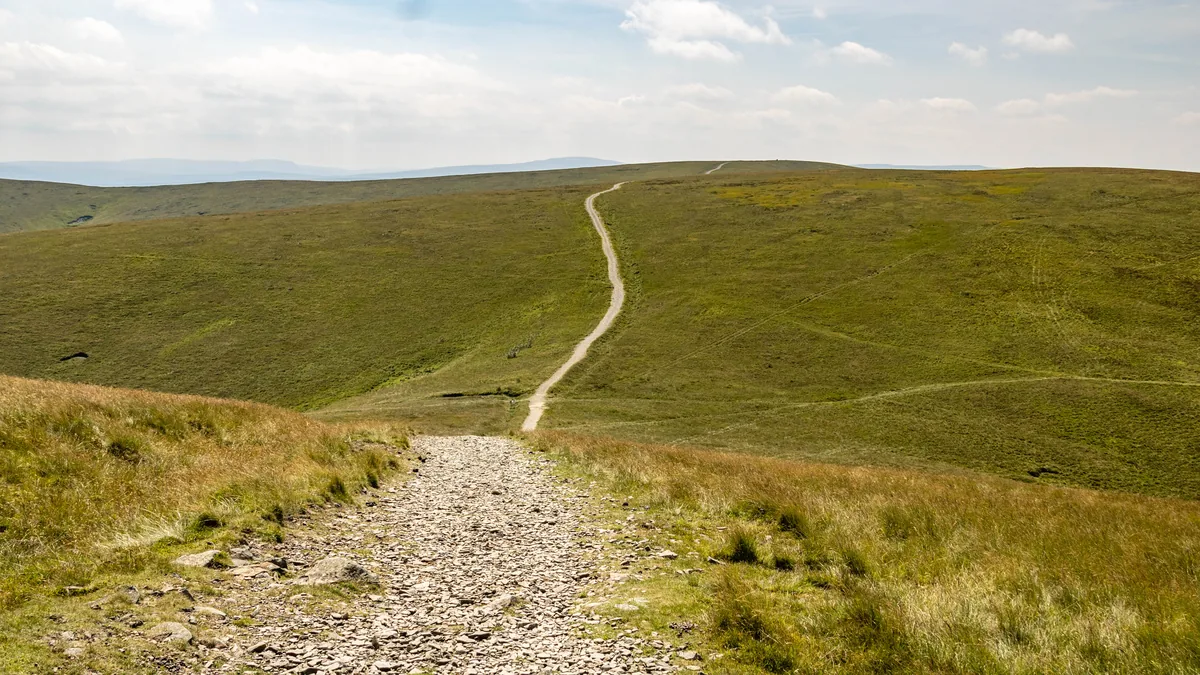
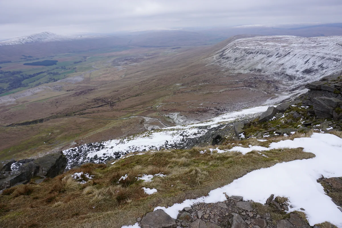 The edge of Ingleborough's summit plateauHero photo · by Bill Boaden, Wikimedia Commons (Geograph)Original photoCC BY-SA 2.0 licence
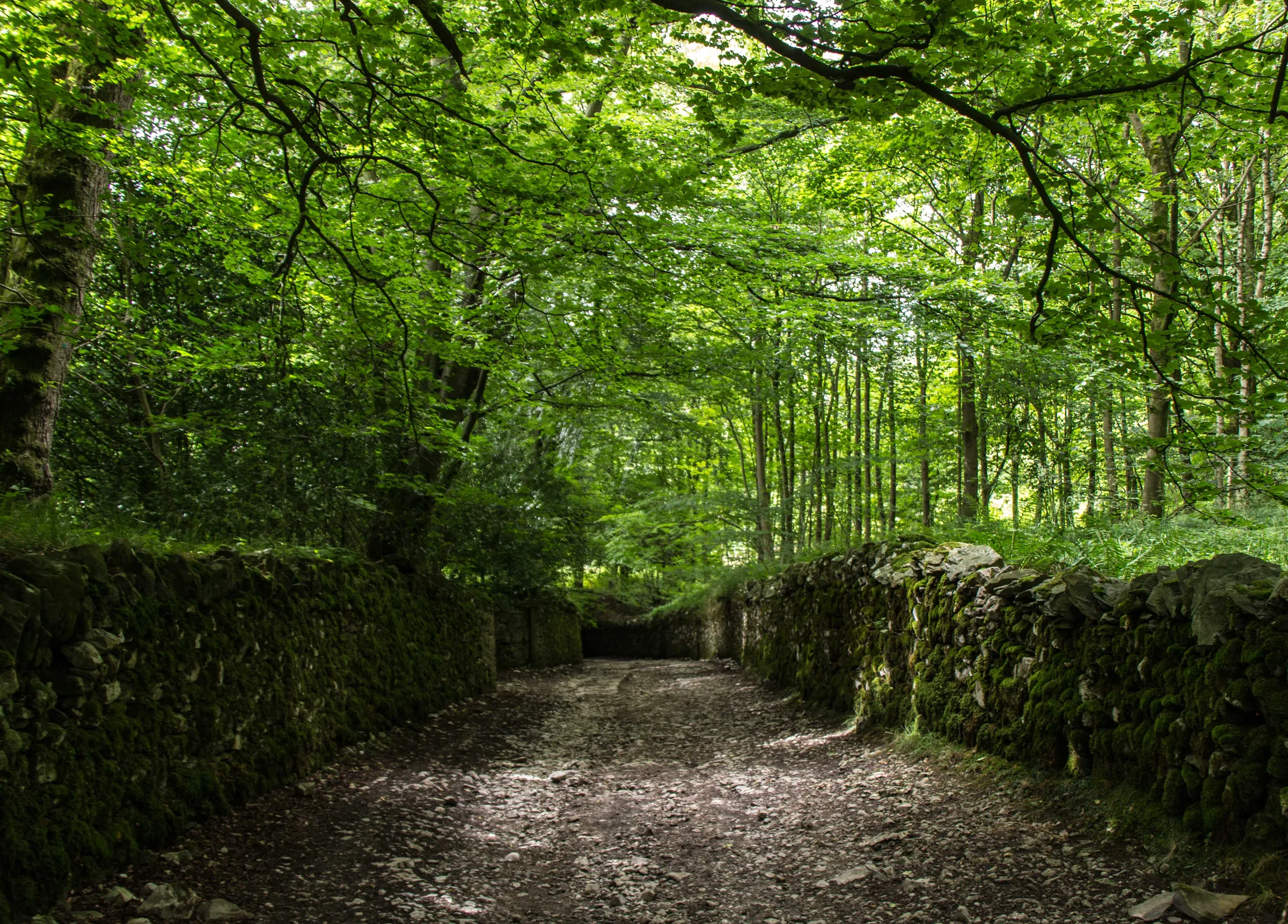
 Thwaite Plantationby Peter McDermott, Wikimedia Commons (Geograph)Original photoCC BY-SA 2.0 licence
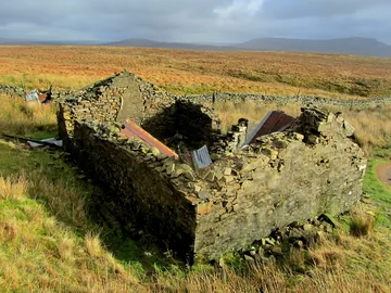 A ruined shooting hut below Simon Fellby Chris Heaton, Wikimedia Commons (Geograph)Original photoCC BY-SA 2.0 licence
Hints & Tips
Hands On in Trow Gill
Trow Gill ends in a short scramble: at about 2 miles you'll need your hands to climb up the rocks and out of the gorge. Beyond Ingleborough Cave the path is narrow, uneven and rocky, so take your time, especially after rain.
Stand Back From Gaping Gill
Gaping Gill is a sheer 98m shaft, and people have died here. The hollow around it is worth a look, but keep children and dogs well back from the edge.
Watch for the Stone Marker
Many walkers get turned around on Ingleborough's flat summit when the cloud comes down. Take a bearing at the trig point before you set off, and look out for the stone marker on the flagged path down, where this route keeps right towards Horton in Ribblesdale.
Pay for the Nature Trail
Entry to the Ingleborough Estate Nature Trail costs £3 for adults, £1.50 for children aged 3 to 15, £2.50 for seniors and students, or £8 for a family of two adults and two children. Pay in the foyer of the Old Sawmill Café by cash or card, or at the ticket machine (contactless or coins) when it's closed. The money goes on looking after the trail. You can skip it by walking up Clapdale Lane instead.
Bring a Card for Parking
Clapham's car park machines take cards only. A loop of 5 to 6 hours needs the £6 ticket for over 2 hours, and the £3.80 ticket won't cover it.
Torch for the Tunnels
Long Lane's last stretch takes you through two tunnels below Ingleborough Hall. The first is dark in the middle and the ground is uneven, so a torch or phone light helps if you're coming down late.
Ride the Winch
Twice a year you can be lowered into Gaping Gill itself. The Bradford Pothole Club runs its winch meet over the Whitsuntide bank holiday week at the end of May, and the Craven Pothole Club runs an open meet in August, both open to non-cavers.
Interesting Facts
General
Britain's Tallest Waterfall
Fell Beck drops down the 98m shaft of Gaping Gill, the tallest unbroken waterfall in the UK, into a chamber with a volume comparable to York Minster. Dye tests, and cave divers in 1983, proved the water comes back out in Beck Head Cave beside Ingleborough Cave
A Fort on the Summit
Tumbled remains of a wall run along the edges of the summit plateau, a Scheduled Monument classed as a large univallate hillfort, with some twenty ring-shaped stone mounds scattered across it. Most think it's Iron Age, but some now suggest an earlier, possibly Bronze Age, ritual site
The Shotgun Gardener
Shotgun gardening was one of Reginald Farrer's methods: the plant collector, who grew up at Ingleborough Hall, is said to have fired seeds at cliff faces to give his rock plants a natural spread, and rhododendrons he planted still grow in the woods above the village
Tunnels for the Servants
Servants once used the two tunnels at the end of the walk to reach Ingleborough Hall. They are Grade II listed, and the left-hand tunnel is dated 1833
The Mystery of Body Pot
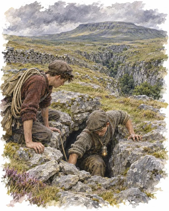
Two potholers went looking for new holes to explore near Ingleborough Cave on 24 August 1947. Jim Leach and Harold Burgess, known as "Jim and Budge", were members of the Northern Pennine Club, and at about 12:30PM they found a small hole partly blocked with stones. Leach climbed about 10 feet down and saw a pair of shoes, then a skull and the rest of a skeleton. The cave became known as Body Pot, and the remains as the Trow Ghyll skeleton, after the gorge about 800m away.
Forensic scientists found a man about 5ft 5in tall, aged between 22 and 30, who had died at least two and no more than six years before. He wore a grey-blue suit, a herringbone overcoat and a grey trilby. None of his coins was newer than 1939, and a mineral water bottle had a crown top that wasn't introduced until 1940. The small bottle that Burgess took for flash powder held sodium cyanide, and an unbroken ampule of the same poison was found too. The inquest in Skipton could find neither a cause of death nor a name.
The legal historian A. W. B. Simpson, who was living in Clapham at the time, later pointed out that the only known users of such ampules were spies, who carried them to take their own lives if caught, and he called the dead man the most notable mystery of a possible German agent in Britain. German records found after the war don't back him up: according to MI5, almost all of the 115 or so agents sent against Britain were caught. Who the man in Body Pot was is still unknown.
The Race to the Bottom of Gaping Gill
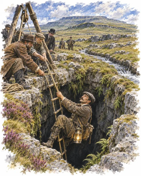
Settle banker and alpinist John Birkbeck had Fell Beck turned aside around 1842 down a channel now called the Birkbeck Trench and went down the Main Shaft of Gaping Gill, first 100 and then 190 feet, to a ledge that still bears his name. That was as far as he could get. A member of the party that made the first ascent of Monte Rosa in 1855, he later provided ropes for the first recorded descent of Alum Pot, but the bottom of Gaping Gill beat him.
It took a Frenchman to finish the job. In 1895 Édouard-Alfred Martel, a lawyer now known as the father of modern speleology, came to Yorkshire on an expedition that also took in Marble Arch in Ireland, and made the first complete descent of Gaping Gill, reaching the Main Chamber some 170 feet below Birkbeck's ledge. The shaft was the deepest known in Britain until Titan in Derbyshire was found in 1999.
Today you don't need to be a pioneer to follow them. Each year the Bradford Pothole Club sets up a winch over the shaft in the Whitsuntide bank holiday week at the end of May, and the Craven Pothole Club holds an open meet in August, giving visitors who aren't cavers the chance to be lowered into Britain's largest cave chamber.
More Hikes
 HardYorkshire Three Peaks24.7 mi · 8–14 hrs · 1603m
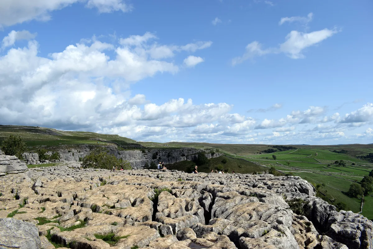 ModerateMalham Cove & Gordale Scar8.5 mi · 4–5 hrs · 300m
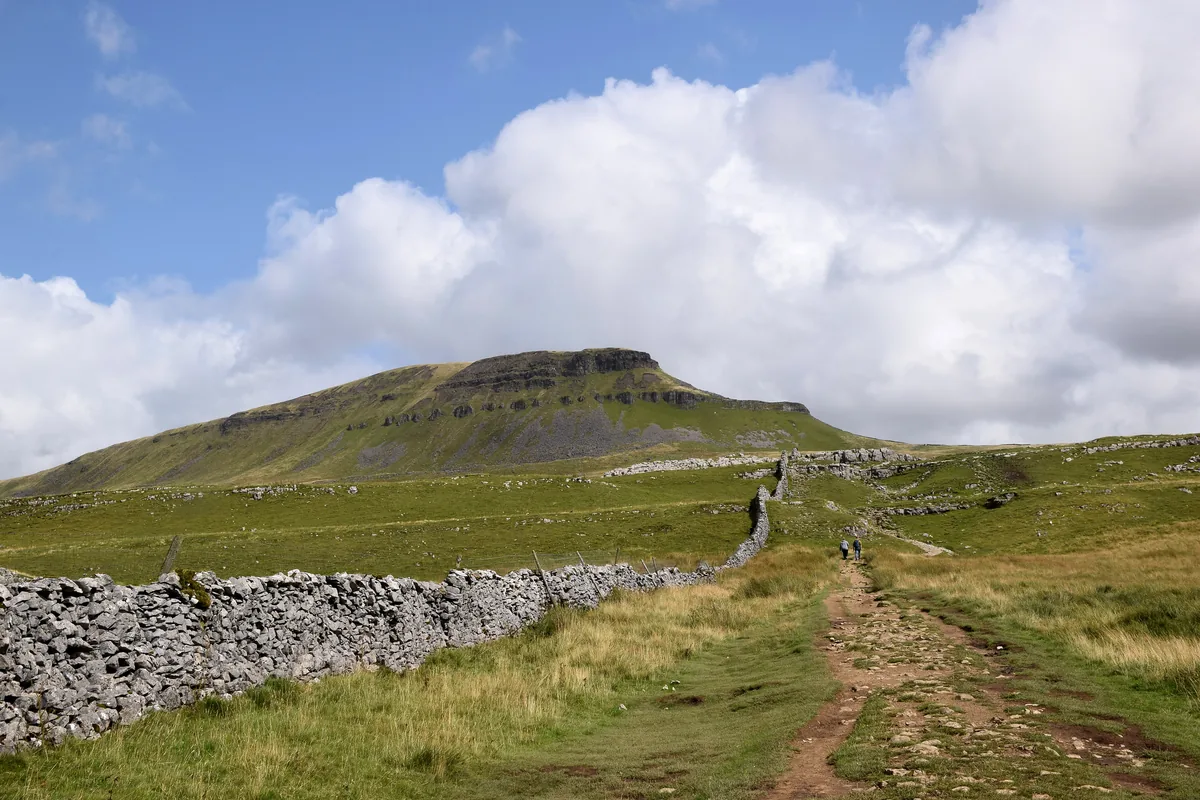 ModeratePen-y-ghent6.6 mi · 3–4½ hrs · 477m
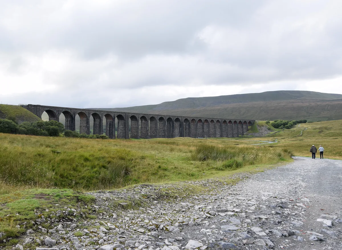 ModerateWhernside8.1 mi · 3–4 hrs · 499m
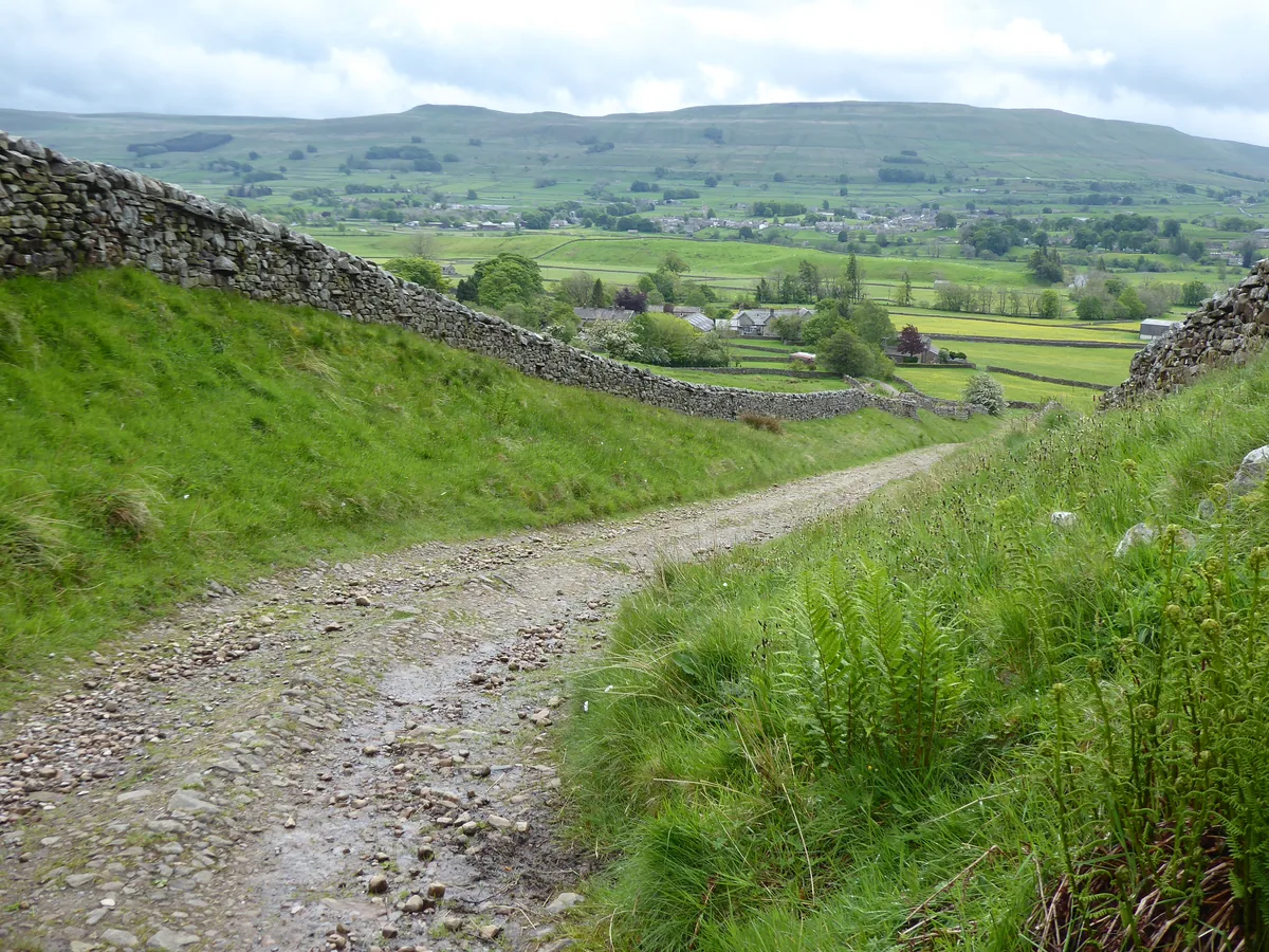 HardGreat Shunner Fell & Hardraw Force12.7 mi · 5–7 hrs · 554m
 HardThe Calf7.9 mi · 4–5 hrs · 782m
Subscribe for updates on new hikes and National Parks
One email a month with new hikes and routes. No spam.