



Contents
Overview
Tucked behind Hardraw's Green Dragon Inn, Hardraw Force drops 100 feet in a single fall from a rocky overhang, and it's claimed to be England's highest unbroken waterfall above ground. Above the village rises Great Shunner Fell, at 716m the highest point in Wensleydale and the third-highest mountain in the Yorkshire Dales. The Pennine Way links the two, so this walk gives you a big, quiet moorland summit and a famous waterfall in one day.
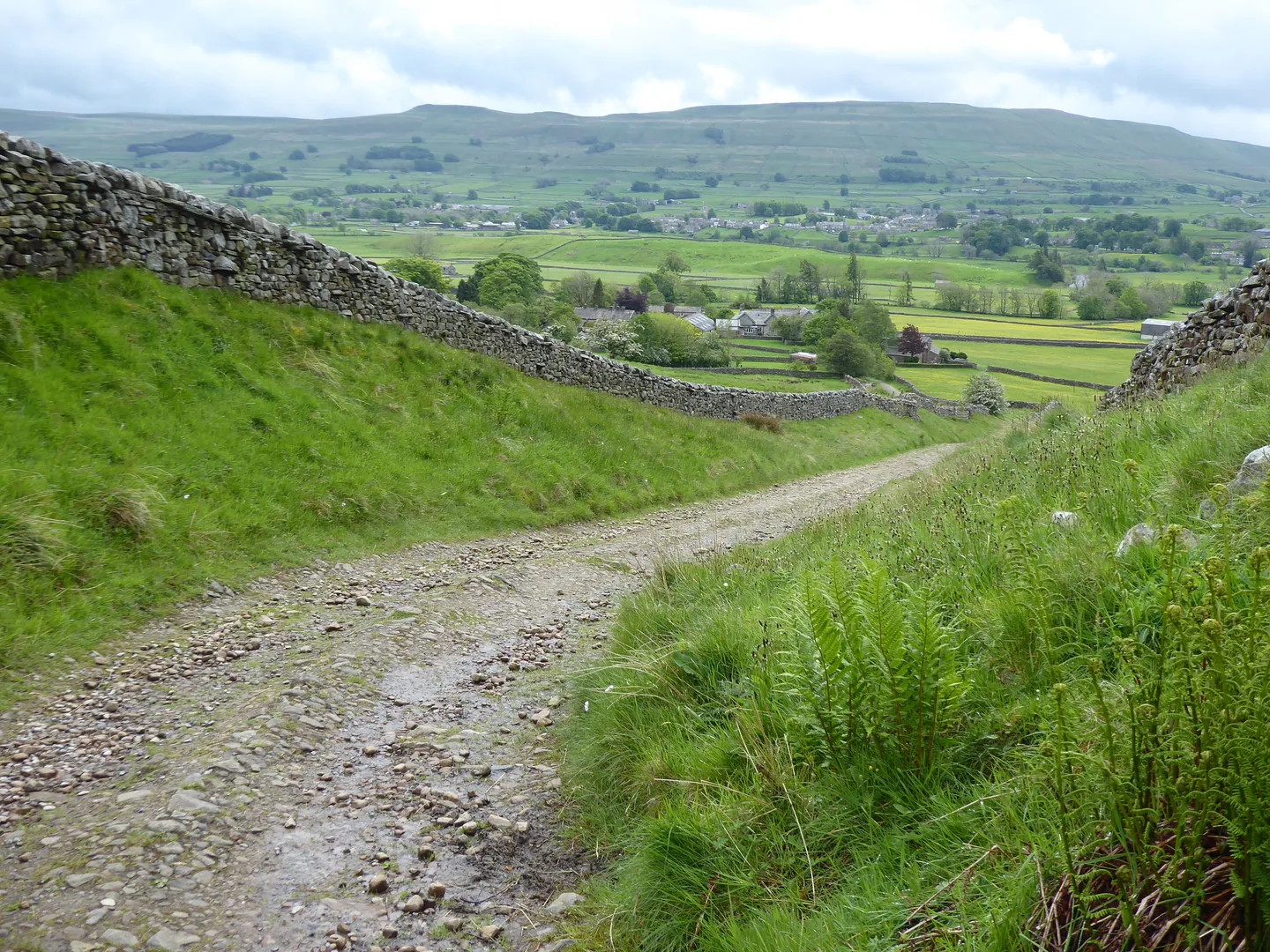
From the National Park car park at the Dales Countryside Museum in Hawes, the Pennine Way crosses the River Ure at Haylands Bridge and follows flagged field paths to Hardraw. Just past the village a walled lane climbs north-west onto the open moor, and from there a flagstone path, laid from 1996 to stop the erosion, carries you over the peat bogs to the cross-shaped shelter and trig point on the summit at about 6 miles. You come back the same way. At Hardraw, take the short detour through the Heritage Centre behind the Green Dragon (£4 for adults) to see the falls, then walk the last mile and a quarter back to Hawes. It's a long day of steady walking rather than a steep one, with no scrambling, but the top is wild and exposed.
Go prepared, stay safe,
and enjoy the hike!
Key Info
Crowds
Low
Great Shunner Fell is one of the quieter big hills in the Dales: 10Adventures rates crowd levels on the walk from Hawes as low, mainly because of the distance. The summit can get busy around lunchtime at weekends, when groups arrive along the Pennine Way from the north. The main pinch point is parking at Hardraw, where the few roadside spaces fill quickly on busy days.
When it gets busy
- Lunchtime on the summit at weekends
- Fine weekends, when the roadside spaces at Hardraw fill quickly
For a quieter walk
- Start early and reach the top before noon
- Go on a weekday
- Park in Hawes, where the car parks are much bigger than the spaces at Hardraw
Our crowd rating is for a typical sunny weekend in spring or summer, in the middle of the day. Timing makes a big difference, so even a busy walk can be quiet early, late or midweek.
The Route
Disclaimer: Route information and GPX files are provided for general guidance only. Conditions can change, so always use your own judgement and navigate responsibly. See our Terms of Use & Disclaimer for more information.
Route Guide
- 1
Over the Ure to Hardraw1.2 mi · 26m up · 15m downFrom the car park, follow the Pennine Way north up Brunt Acres Road, taking the footpath beside it, and cross the River Ure on Haylands Bridge at about 0.3 miles. Carry on along the road for a few hundred metres, then turn left onto the Pennine Way field path, flagged in places, which heads west across the meadows to come out on the road by the Green Dragon Inn in Hardraw at about 1.2 miles.
- 2
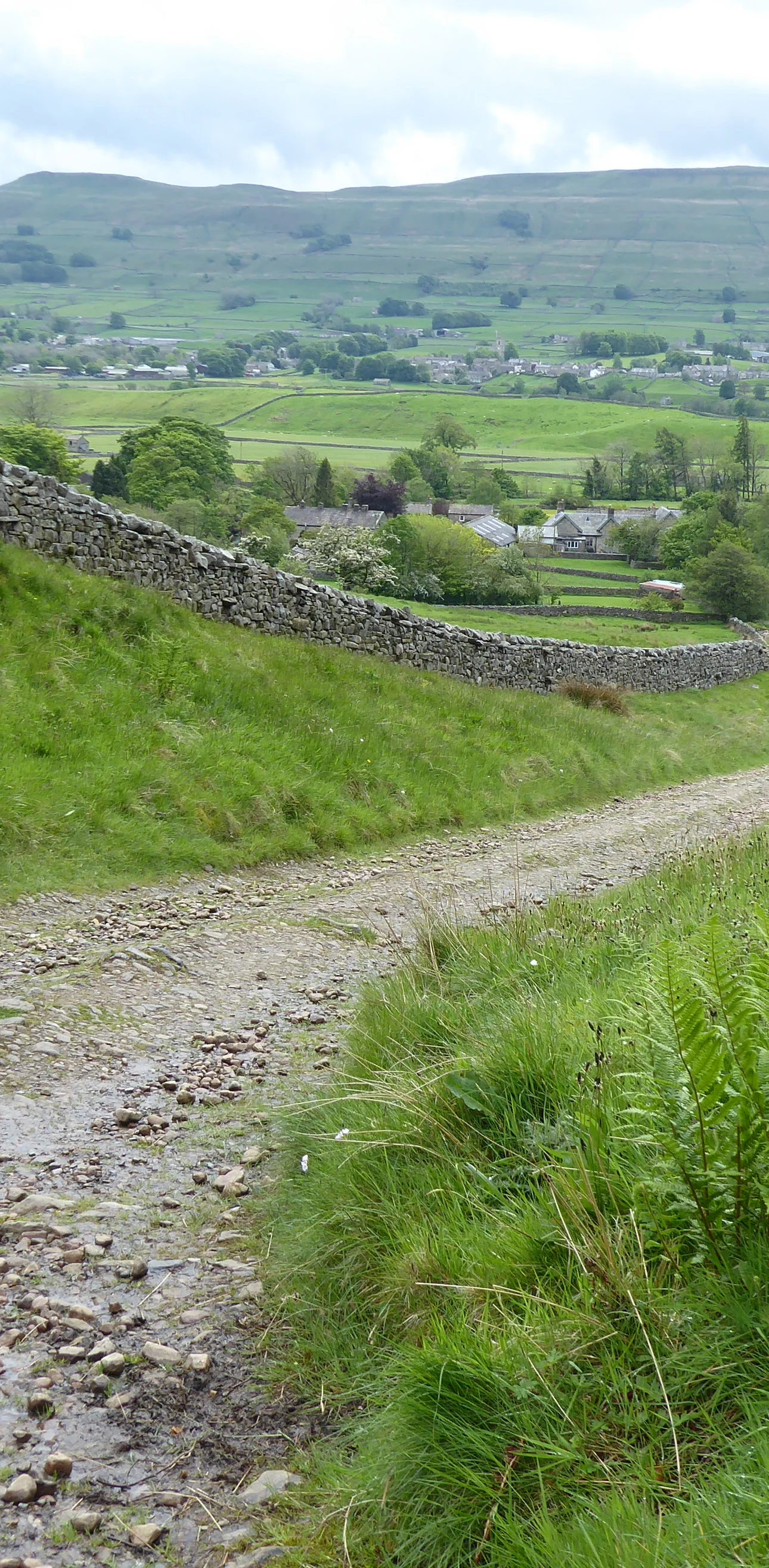
Up the Walled Lane1.1 mi · 128m up · 5m downTurn left along the road through Hardraw, and at the west end of the village turn right onto the Pennine Way, signed for Thwaite and Cotterdale. A wide track climbs steadily north-west between high stone walls for about a mile, until the walls end and you reach open country at about 2.3 miles.
- 3
Onto the Open Moor1.0 mi · 144m upA few metres past the end of the walls the track forks: take the left fork to stay on the Pennine Way, as the other track heads off into the valley. The track climbs past an old quarry and zigzags up a steeper section. At about 3.3 miles go through a gate, pass a sheepfold on your left and turn right shortly afterwards, still on the Pennine Way.
- 4
Flagstones Across the Bog1.4 mi · 113m up · 5m downThe path now heads almost due north across wild moorland of peat bog and hags. Most of it is paved with flagstones, so stay on them, even where a few have started to sink. The summit shelter appears on the skyline long before you reach it.
- 5
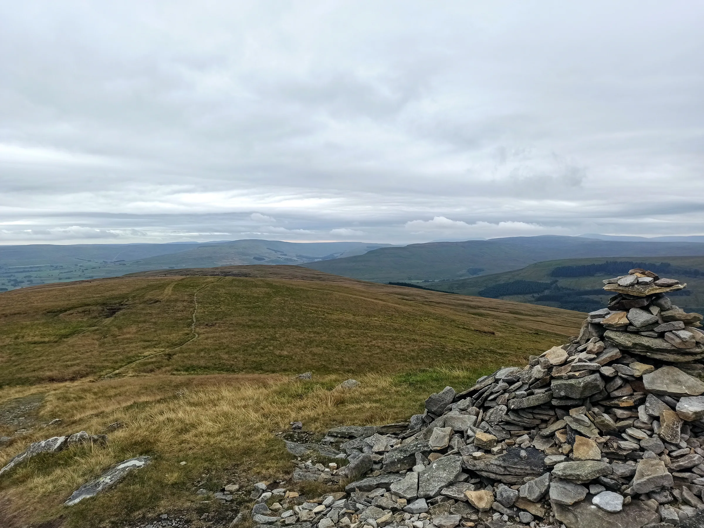
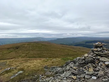
To the Summit Shelter1.3 mi · 103m up · 5m downAfter the last boggy stretch the path steepens up onto the summit plateau, then bears right across it to the top of Great Shunner Fell at about 6 miles. The trig point is built into the northern arm of a cross-shaped windbreak. On a clear day the view takes in Wensleydale to the south and Swaledale to the north.
- 6
Back Down the Pennine Way4.9 mi · 15m up · 487m downReturn the same way, back across the flagstones, through the gate by the sheepfold and down the walled lane to the road at Hardraw, at about 10.8 miles. Almost all of it is downhill, with views ahead over Wensleydale.
- 7
Detour to Hardraw Force0.6 mi · 10m up · 10m downWalk back along the road to the Green Dragon Inn. The way to the falls is through the Heritage Centre behind the inn, where you pay £4 (adults) at the turnstile. A short, level gravelled path follows Hardraw Beck over wooden footbridges into the gorge to the plunge pool below the 100ft fall. There's also a longer upper path round the top of the gorge to a bridge above the fall, which has uneven sections. Walking behind the falls isn't allowed. Come back the same way to the road.
- 8
Back to Hawes1.2 mi · 15m up · 26m downFrom the Green Dragon, retrace the Pennine Way field path east across the meadows, turn right onto the road, cross Haylands Bridge over the River Ure and follow Brunt Acres Road back to the car park.
Use the route on OS Maps, AllTrails or Komoot to navigate on the day; this guide is for planning.
Parking
The walk starts from the Yorkshire Dales National Park Authority car park at the Dales Countryside Museum, Station Yard, Hawes (SD 875 898 · Postcode DL8 3NT). It's a large car park with toilets, including a Radar toilet, and electric vehicle charging points. From 1 April 2026 it costs £3.80 for up to 2 hours, £6.00 for over 2 hours and £7.00 for up to 24 hours; most people take 5 to 7 hours on this walk, so you'll need the over-2-hours ticket. The machines are card only, but you can pay cash inside the National Park Visitor Centre while it's open (10AM to 5PM daily). If it's full, see Alternative Parking. Check the latest prices here.
Overnight stays in vehicles and motorhomes aren't allowed in National Park Authority car parks.
*Prices correct at time of writing; check before you travel.
Alternative Parking
Facilities & Hospitality
Public toilets in the National Park car park at the start and finish, open 24 hours a day, including a Radar toilet. There's also a Changing Places toilet inside the Dales Countryside Museum.
On the route at Hardraw, about 1.2 miles from the start, and the way in to Hardraw Force. This old Dales inn has letting rooms, Wi-Fi and real ales, and dogs are welcome in the bar. Food is served 11:30AM to 4:30PM and 5:30PM to 8:30PM Monday to Thursday, and 11:30AM to 9PM Friday to Sunday.
A 16th-century former coaching inn on the Pennine Way in the centre of Hawes, a few minutes' walk west of the car park. It serves food and real ales, has guest rooms with breakfast, free Wi-Fi throughout, and is dog friendly.
Weather
Hike Videos
Note: Videos are made by other walkers, not The Lost Peak. They may not follow this exact route, and paths, conditions and facilities may have changed since filming.
Photo Gallery
Photos
Photo credits
Photos without a credit are our own. These are used under Creative Commons licences; thank you to the photographers.
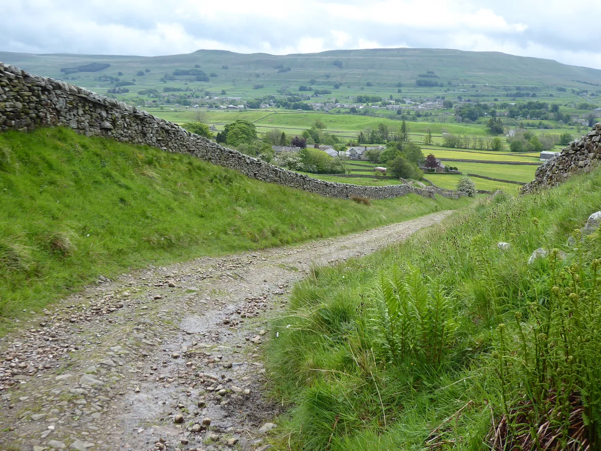 The Pennine Way near Hollin HillHero photo · by Dave Kelly, Wikimedia Commons (Geograph)Original photoCC BY-SA 2.0 licence
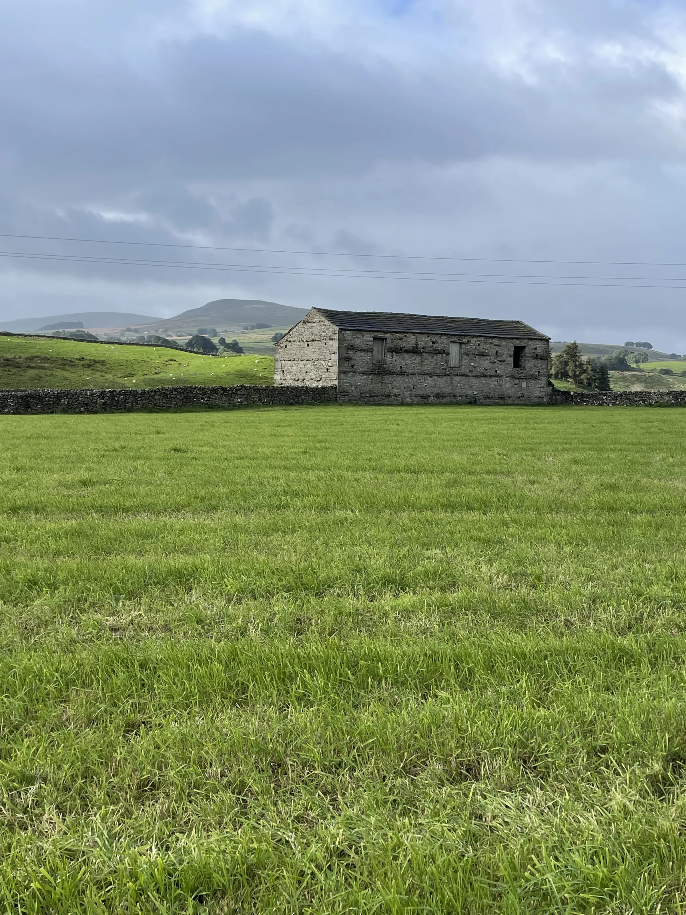
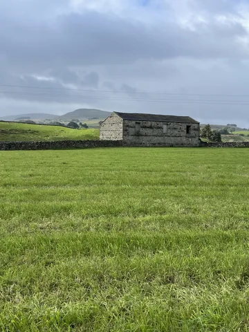 A field barn near Hardrawby Eirian Evans, Wikimedia Commons (Geograph)Original photoCC BY-SA 2.0 licence
Hints & Tips
Save the Falls for After Rain
Hardraw Force can shrink to a trickle in a dry summer, and it's at its most dramatic after heavy rain, when Hardraw Beck turns into a torrent.
Take the Left Fork
Where the walled lane above Hardraw ends, at about 2.3 miles, the track forks. Keep left to stay on the Pennine Way; the other branch, the Hearne Coal Road, heads off down into the valley.
Stick to the Sinking Flags
Peat bog covers the ground from about 3.3 miles to the summit, and the Pennine Way crosses it on flagstones; in at least one place they've started to sink. Walking poles help, but stay on the line of the flags: stepping round the wet bits usually finds deeper bog.
Further Than It Looks
Look out on the moor for a dark lump on the skyline. It's the summit shelter, and it seems to get no closer for a long time. Pace yourself: it's about 6 miles from Hawes to the top, and the same back.
Bring a Card for Hawes
Pay machines at the Dales Countryside Museum car park are card only. If you only have cash, pay inside the National Park Visitor Centre, which is open 10AM to 5PM. You'll need the £6.00 over-2-hours ticket for this walk.
Shorter From Hardraw
Parking in the free spaces at the west end of Hardraw instead of Hawes cuts about 2.5 miles off the walk, leaving roughly 9 miles to the summit and back. There are only a handful of spaces, so arrive early.
Interesting Facts
General
Two Rivers, One Fell
Rain falling on the northern slopes feeds Great Sleddale Beck, which becomes the River Swale once it joins Birkdale Beck, while the southern slopes drain into the River Ure and Wensleydale
A Rare Bog Flower
Bog-loving yellow marsh saxifrage, a plant with yellow flowers on a red stem, has its most southerly remaining outpost in Great Britain on Great Shunner Fell
Robin Hood's Waterfall
Hollywood came to Hardraw for Robin Hood: Prince of Thieves (1991): the falls are the backdrop where Maid Marian finds Robin bathing beneath a waterfall
Bands in the Gorge
Brass bands have played in Hardraw Scar's natural amphitheatre since the 1880s. The contest stopped after 1927, was revived in the 1970s, and is held on the second Sunday in September
Wordsworth Behind the Falls
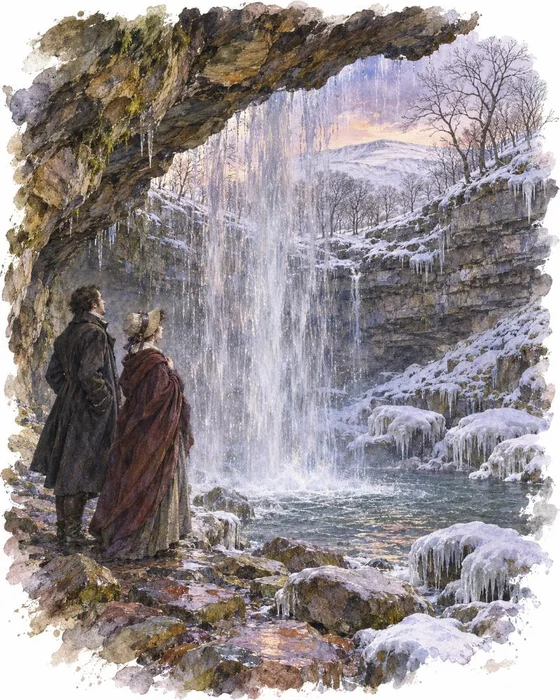
Snow was driving across the Dales in December 1799 as William Wordsworth and his sister Dorothy travelled through in bitter cold, the wind at their backs. They stopped at an inn at Hardraw, warmed themselves by the fire, and walked up the side of the beck to see the waterfall.
In a letter to his friend Samuel Taylor Coleridge, Wordsworth described picking their way over stones of every colour in the clear water until the rock above them stretched out like the ceiling of a huge cave. The water shot down from its lip into a pool among fragments of rock crusted with ice, which Dorothy likened to congealed froth. They stood directly behind the falling water.
In 1816 the painter J. M. W. Turner arrived on one of his sketching tours and drew Hardraw Force, and an engraving of his Hardraw Fall was published in 1818 in the History of Richmondshire. Both men stayed at the Green Dragon Inn. You can still follow their path up the beck to the plunge pool today, but walking behind the falls is no longer allowed.
The Day the Scar Gave Way
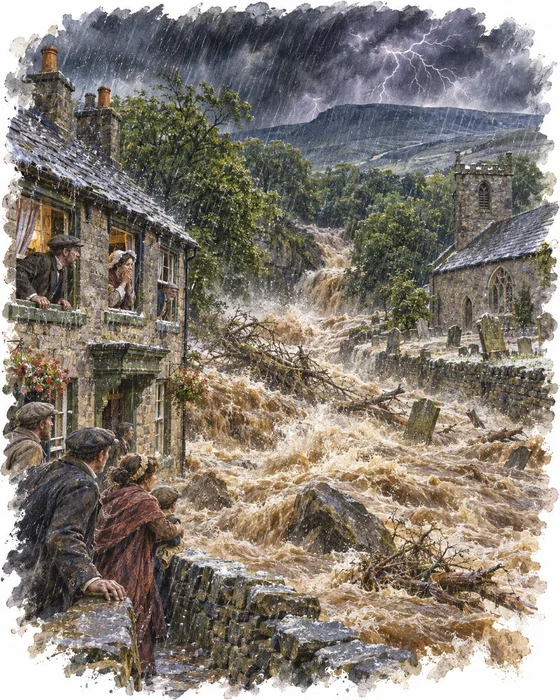
Bright, fair weather greeted Upper Wensleydale on the morning of 12 July 1899. Then, at about noon, the sky above Great Shunner Fell turned dark. In his book The Day the Dale Died, Barry Cockcroft describes rain so ferocious that it was as if the bottom had fallen out of a bucket, with hailstones more than an inch long, sheet lightning and huge peals of thunder.
Thousands of tons of water poured off the fell, and the worst of it came down Hardraw Beck. Villagers saw a wall of water several yards high racing towards them, and ran upstairs. The flood tore through the graveyard, washing out coffins and carrying gravestones more than two miles down the valley. A large tree smashed into the wall of the Green Dragon, and the water burst in through the back doors and windows and out through the front, taking the furniture and most of the cellar with it. The bridge in the middle of the village was left a tottering ruin.
When the fells had drained, the villagers found the lip of the waterfall had been torn away, leaving the water slithering down over mud and debris. The Yorkshire Post sent a reporter and an artist to record the damage. The landowner, Lord Wharncliffe, had his estate manager rebuild the lip, and it's still held together at the top by metal stakes.
More Hikes
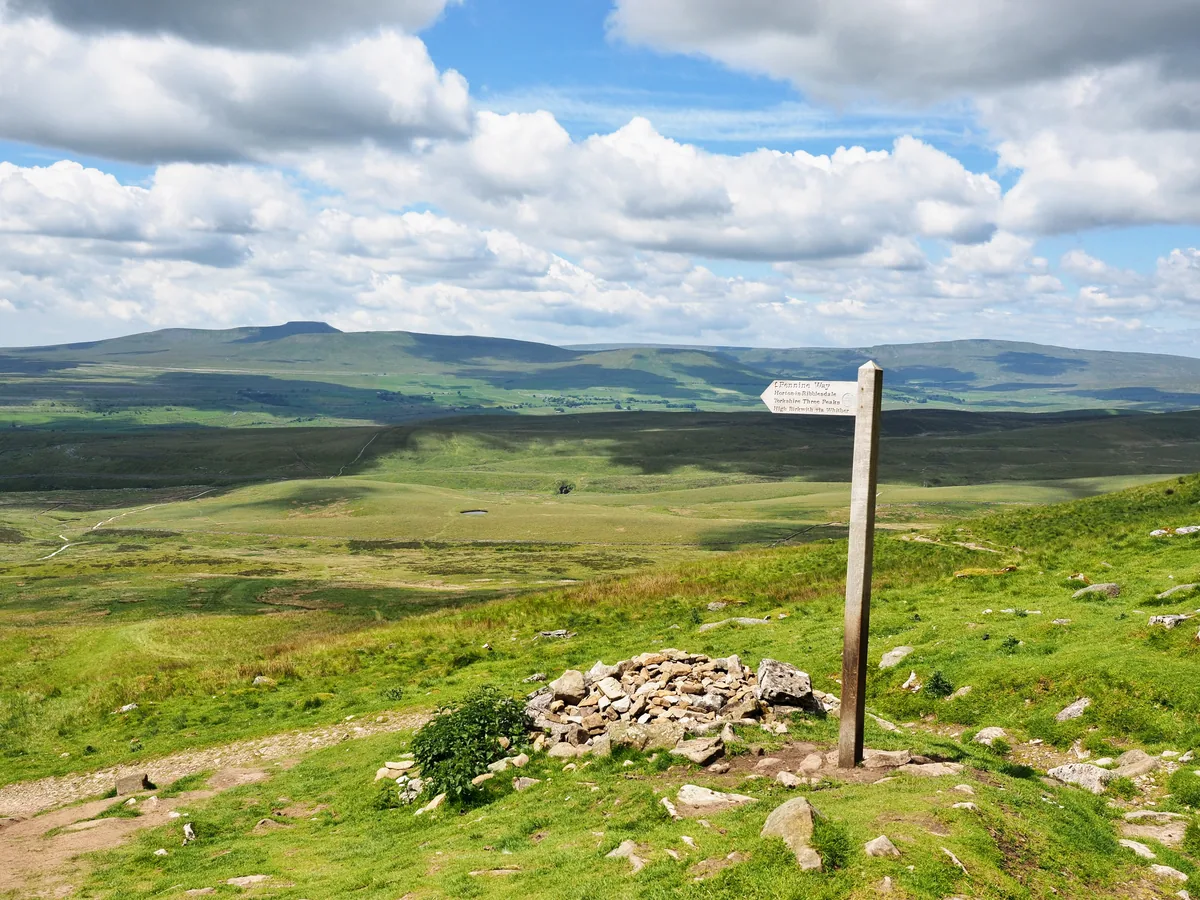 HardYorkshire Three Peaks24.7 mi · 8–14 hrs · 1603m
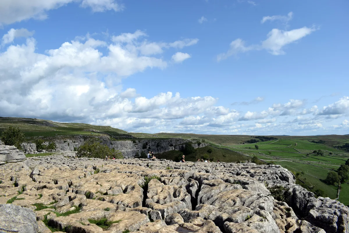 ModerateMalham Cove & Gordale Scar8.5 mi · 4–5 hrs · 300m
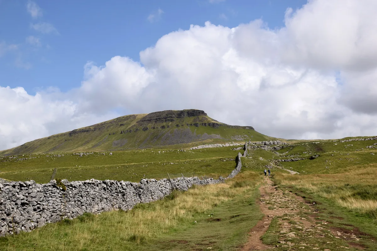 ModeratePen-y-ghent6.6 mi · 3–4½ hrs · 477m
 ModerateIngleborough11.3 mi · 5–6 hrs · 707m
 ModerateWhernside8.1 mi · 3–4 hrs · 499m
 HardThe Calf7.9 mi · 4–5 hrs · 782m
Subscribe for updates on new hikes and National Parks
One email a month with new hikes and routes. No spam.