



Contents
Overview
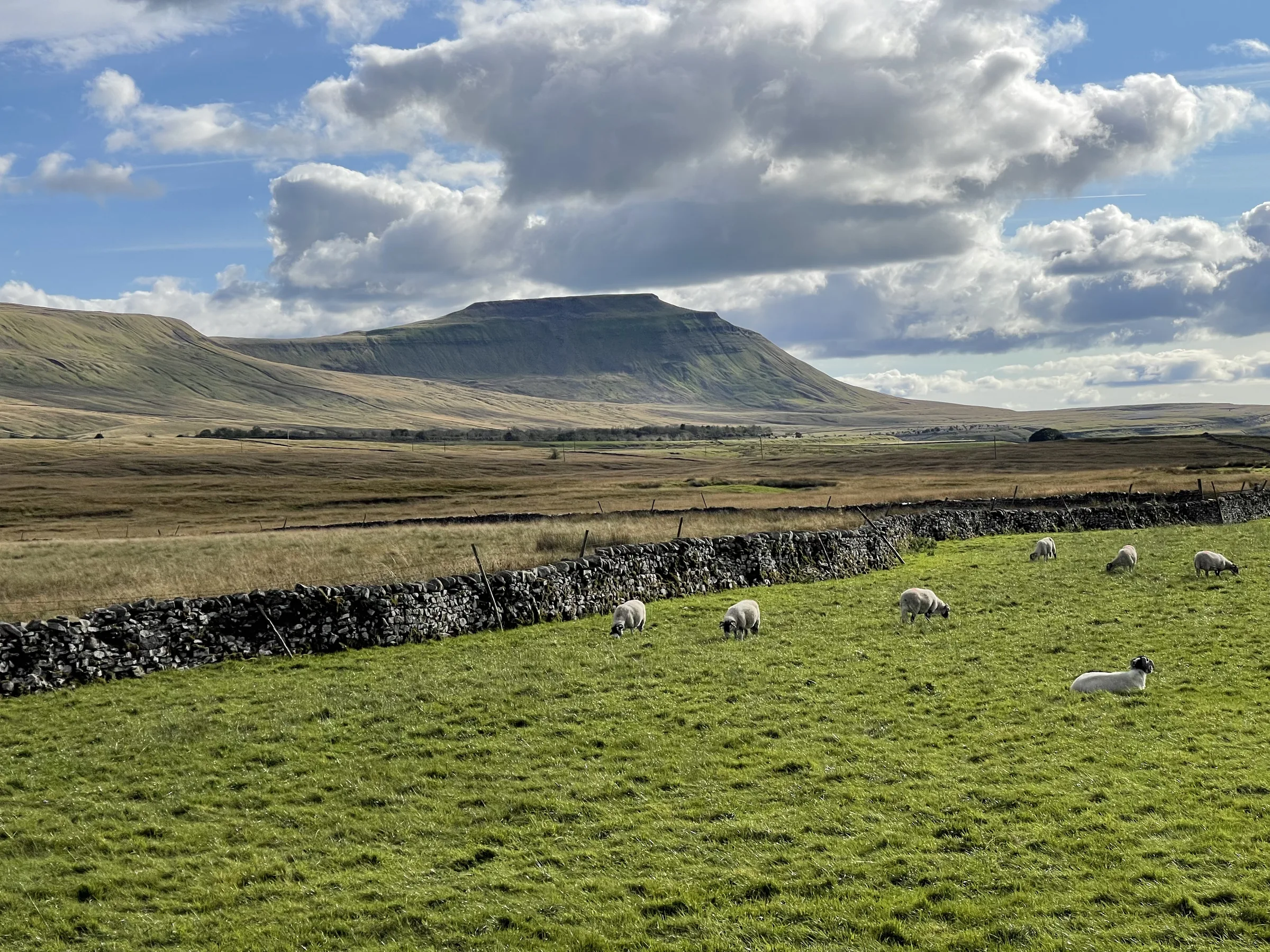
Highest of the Yorkshire Three Peaks, Whernside is also the highest point in North Yorkshire, at 736m. It isn't a pointed peak like Ingleborough or Pen-y-ghent: it's a long ridge running roughly north-north-east to south-south-west, about two miles north-west of Ribblehead Viaduct on the Settle–Carlisle line. On a clear day the view west from the top reaches the Lake District and Morecambe Bay, and with binoculars you can pick out Blackpool Tower, some 40 miles away.
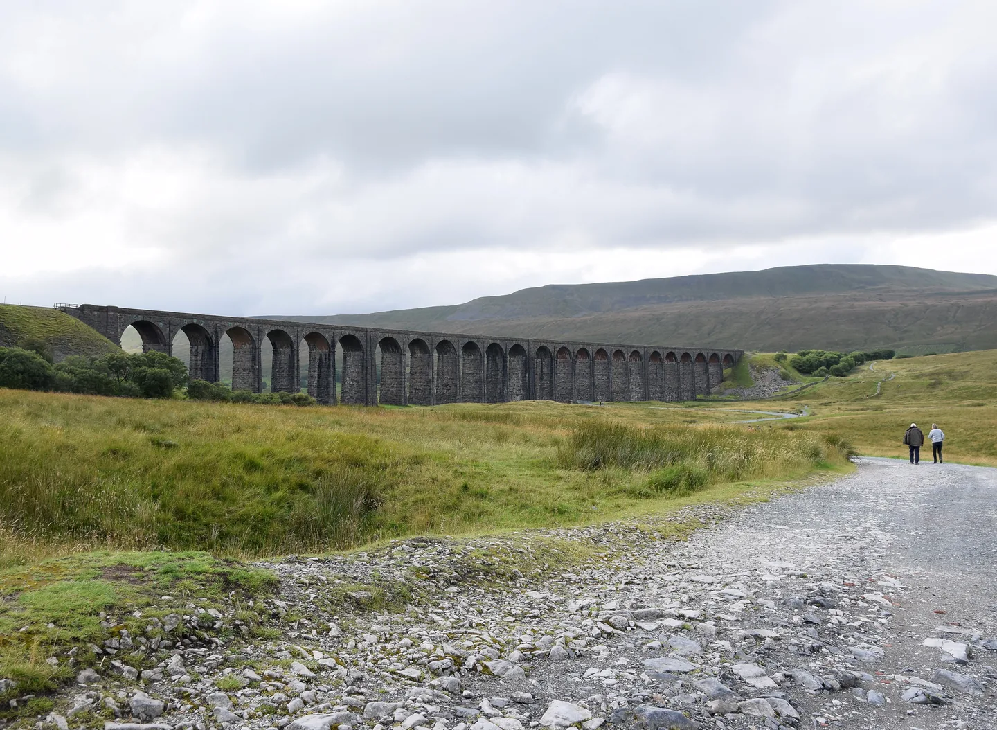
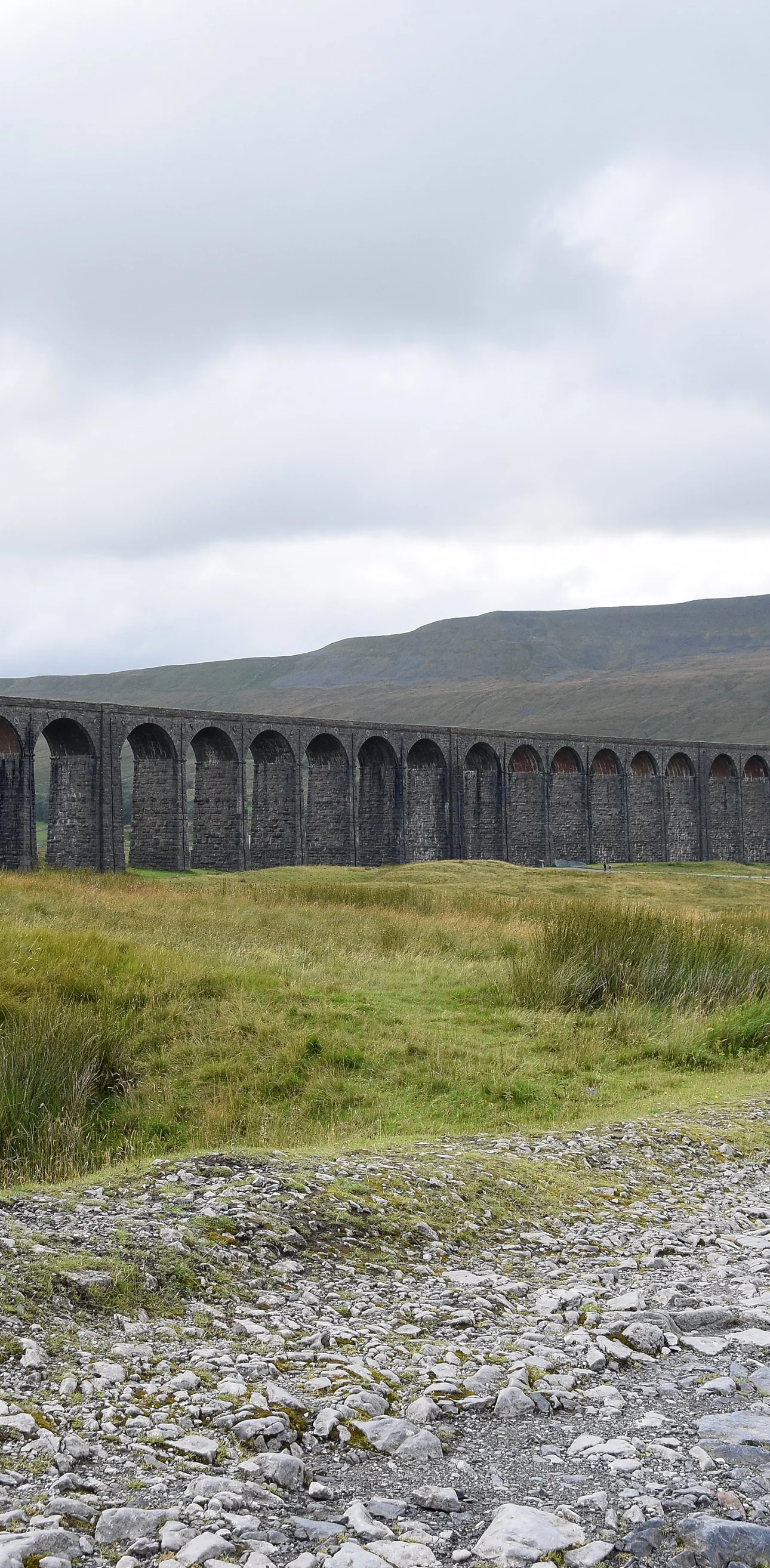
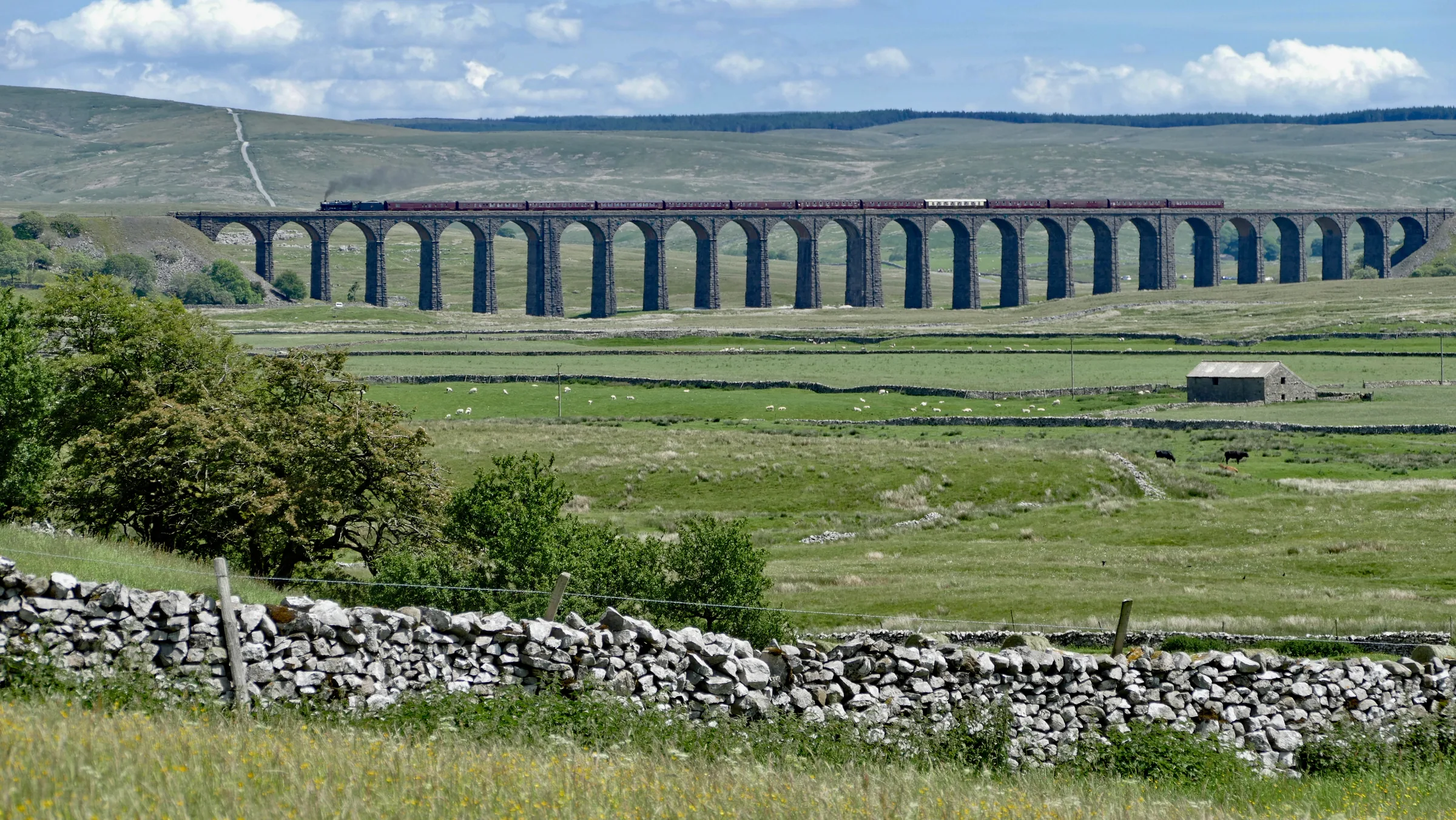
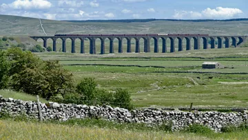
Ribblehead's great 24-arch viaduct is where this loop begins and ends. From the free roadside parking by the B6255 junction you walk to the viaduct, then turn north beside the railway, past the lonely Blea Moor signal box, to cross the line on the old aqueduct that carries Force Gill over the tracks, close to the mouth of Blea Moor Tunnel. A path climbs beside Force Gill and its waterfalls, then a stile at about 2.4 miles sends you up across the moor to the long wall on the ridge, which leads south to the summit trig point. The way down follows the ridge on, then drops very steeply down stone steps to Bruntscar, where you leave the Three Peaks route and head back east along farm tracks and fields at the foot of Whernside, past Ivescar and Gunnerfleet, to walk back under the arches of the viaduct.
Go prepared, stay safe,
and enjoy the hike!
Key Info
Crowds
High
Whernside is one of the Yorkshire Three Peaks, and from Ribblehead to Bruntscar this loop follows the Three Peaks route, so expect company. Parking is the main pinch point: the free verges at Ribblehead have no marked bays, are shared with Three Peaks walkers and overnight campervans, and fill up quickly on clear days.
When it gets busy
- Clear days and weekends, when the roadside parking at Ribblehead fills quickly
- The whole way from Ribblehead to Bruntscar, which is shared with Yorkshire Three Peaks walkers
For a quieter walk
- Arrive early to get a space on the verges
- Come by train: Ribblehead station is a few minutes' walk from the start
- Go on a weekday
- After Bruntscar the return along the foot of Whernside leaves the Three Peaks route
Our crowd rating is for a typical sunny weekend in spring or summer, in the middle of the day. Timing makes a big difference, so even a busy walk can be quiet early, late or midweek.
The Route
Disclaimer: Route information and GPX files are provided for general guidance only. Conditions can change, so always use your own judgement and navigate responsibly. See our Terms of Use & Disclaimer for more information.
Route Guide
- 1
Out to the Viaduct0.4 mi · 9m up · 5m downFrom the roadside parking, cross the road at the junction and take the gravel path opposite. After a couple of hundred metres turn right onto a wide gravel track and follow it towards Ribblehead Viaduct, passing a boulder with an information sign about the old locomotive depot and brickworks. Just before the viaduct, at about 0.4 miles, leave the track for the narrower path on the right, by the footpath sign for Whernside 4½ miles.
- 2
Beside the Railway0.7 mi · 39m up · 5m downClimb the rough steps and carry on to the right of the wall beside the railway. Go through a wooden gate and keep straight on, with the line on your left; as you gain a little height all three of the Three Peaks come into view. At about 1.1 miles you pass Blea Moor signal box, standing on its own beside the tracks.
- 3
Over the Aqueduct0.7 mi · 33m up · 5m downKeep on along the gravelled path, crossing Hare Gill and then Little Dale Beck, which has a footbridge. Shortly after, at about 1.85 miles, the path crosses the railway on a bridge right beside the aqueduct that carries Force Gill over the line in a stepped stone channel. To your right the tracks disappear into Blea Moor Tunnel.
- 4
Up Beside Force Gill0.6 mi · 114m upGo through the wooden gate and keep straight on, following the bridleway sign for Dent Dale, with Force Gill on your left. The path climbs some steps with the Force Gill waterfall in view to the left, then goes through another gate and keeps climbing. At about 2.4 miles, by a footpath sign, cross the wooden stile on the left, signed for Whernside, and leave the bridleway.
- 5
Across the Moor to the Wall0.7 mi · 93m upThe path heads directly away from the fence and swings round in a wide arc, climbing steadily. It runs parallel to a wall for a while and becomes flagged underfoot, with Greensett Moss and its tarn below on your left, until it meets the broken drystone wall on the main ridge at about 3.15 miles.
- 6
Along the Ridge to the Summit1.1 mi · 158m up · 13m downTurn left and follow the path beside the wall south along the ridge, climbing steadily, all the way to the top. The trig point on Whernside's 736m summit is just through a gap in the wall, at about 4.2 miles, and there are stone shelters on both sides of the wall to get out of the wind.
- 7
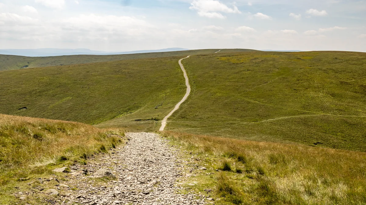
Down the Ridge0.8 mi · 1m up · 116m downGo back through the gap in the wall and turn right, carrying on along the path beside the wall with Ingleborough ahead. It descends gently at first, through wooden gates, then more steeply. At about 5 miles the stepped path down to Bruntscar can be seen leaving the wall below; ignore the grassy path that carries on beside the wall.
- 8
The Steep Steps to Bruntscar0.8 mi · 269m downHead directly away from the wall and start down the steep path. This is the steepest part of the walk, losing about 250m in 0.8 miles, and the stone steps at the top, though improved, are awkward to walk down. Go through the wooden gates on the way down to reach the track at Bruntscar at about 5.8 miles.
- 9
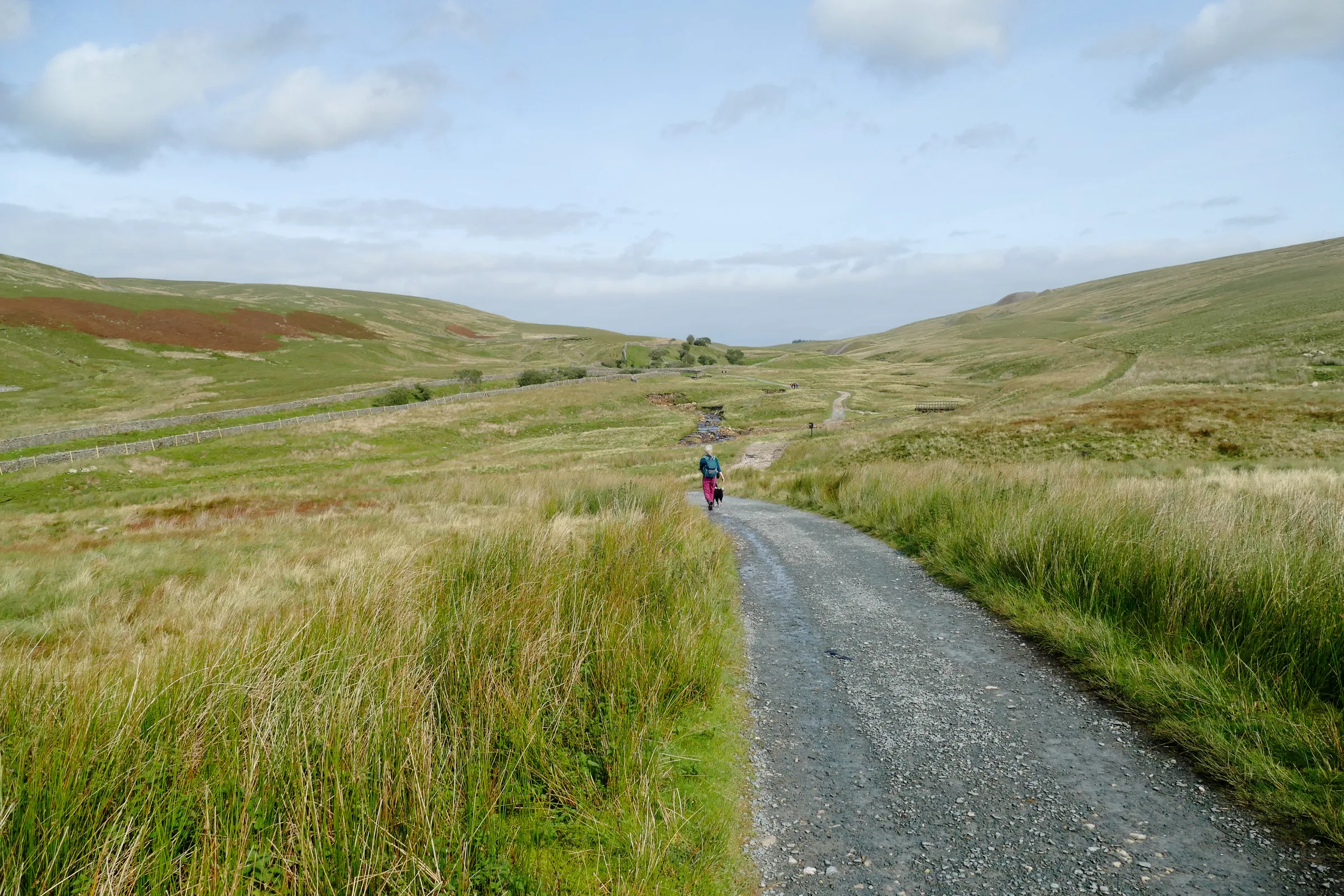
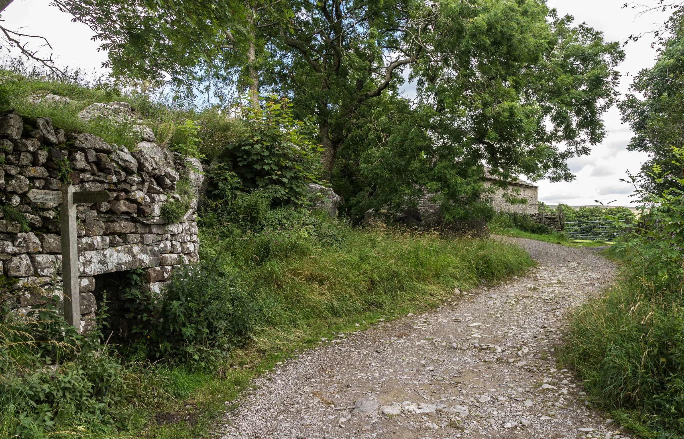
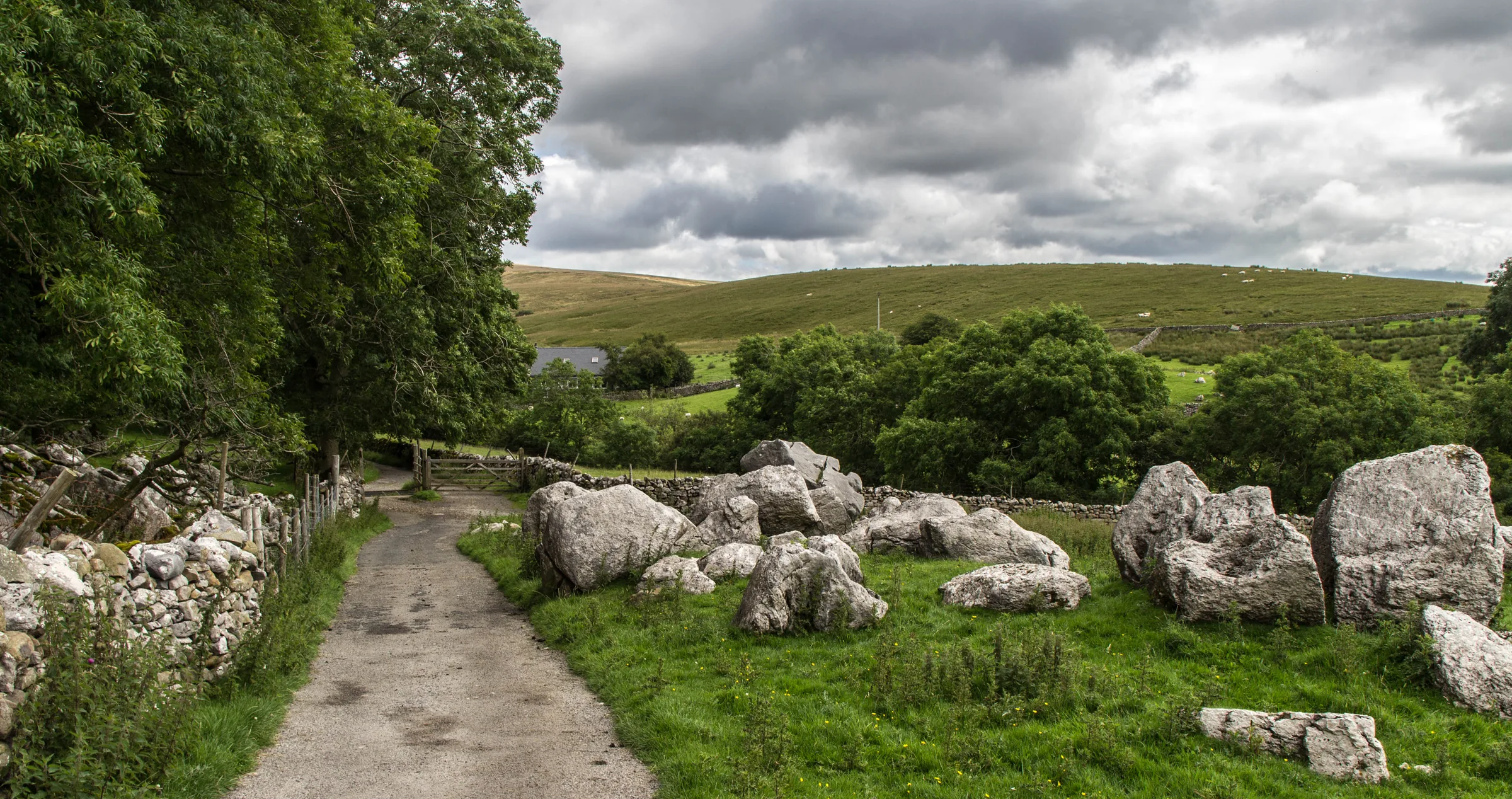
Along the Foot of Whernside1.1 mi · 41m up · 45m downHere the Three Peaks route goes right along the main track. Turn left instead, through the gate signed for Winterscales, and follow the bridleway east through fields and gates past Broadrake, along the foot of Whernside. Cross a small wooden footbridge and continue to Ivescar, where you pass through the farmyard and join a tarmac lane signed for Ribblehead. Follow it past two barns and over a cattle grid to a T-junction near Winterscales at about 6.9 miles.
- 10
Back Under the Viaduct1.2 mi · 11m up · 40m downTurn right, following the sign for the viaduct, and follow the lane down past Gunnerfleet Farm. Where it forks at a gate, bear left over the bridge on the bridleway signed for Ribblehead, cross a cattle grid and follow the track as it bends right, through a gate and under the arches of Ribblehead Viaduct at about 7.6 miles. Follow the wide gravel track back towards The Station Inn and take the narrower path on the left back to the road junction.
Use the route on OS Maps, AllTrails or Komoot to navigate on the day; this guide is for planning.
Parking
Park on the free roadside verges along Blea Moor Road (B6255) at Ribblehead, beside its junction with the B6479 Gauber Road (SD 765 792 · Postcode LA6 3AS; the postcode covers a wide area, so use the Directions button above). There's no car park as such and no marked bays, so park considerately and don't take up more room than you need. The verges are used by Three Peaks walkers and by campervans overnight, so on a clear day they fill up quickly; get there early or see Alternative Parking. There are no public toilets here; The Station Inn's toilets are for customers.
You can also arrive by train: Ribblehead station on the Settle–Carlisle line is a few minutes' walk from the start.
*Parking details correct at time of writing; check before you travel.
Alternative Parking
Facilities & Hospitality
Right at the start, below the viaduct, this 17th-century free house serves homemade pub food from 12 noon every day, with local ales and a log fire in winter. It has en-suite rooms with free Wi-Fi (being refurbished during 2026), dogs are welcome in the bar, and its toilets are for customers. Tables for 6 or more should be booked; smaller groups just walk in.
On the Leeds-bound platform of Ribblehead station, a few minutes' walk from the start, a volunteer-run coffee shop serves drinks and a bite to eat beside an exhibition about the Settle–Carlisle line. The tearoom opens for the season at the end of March, so don't rely on it in winter.
Weather
Hike Videos
Note: Videos are made by other walkers, not The Lost Peak. They may not follow this exact route, and paths, conditions and facilities may have changed since filming.
Photo Gallery
Photos
Photo credits
Photos without a credit are our own. These are used under Creative Commons licences; thank you to the photographers.
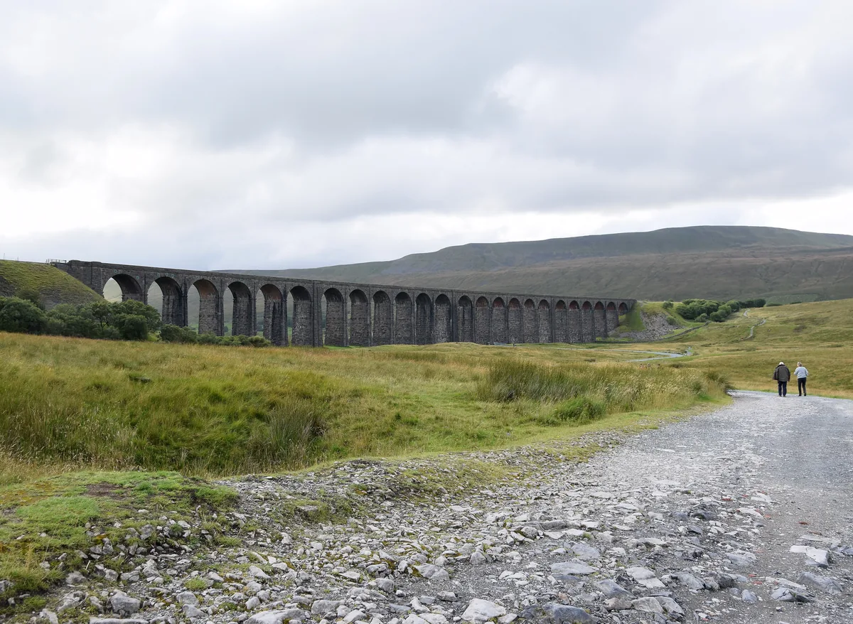 Ribblehead ViaductHero photo · by Bill Harrison, Wikimedia Commons (Geograph)Original photoCC BY-SA 2.0 licence
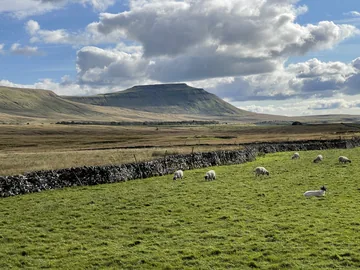
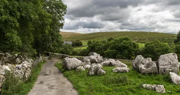
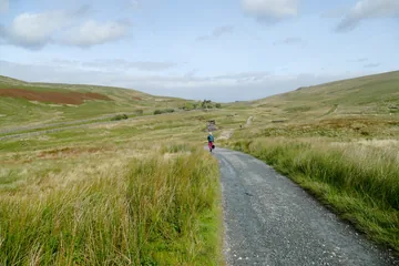 The Dales High Way in Little Daleby Andy Waddington, Wikimedia Commons (Geograph)Original photoCC BY-SA 2.0 licence
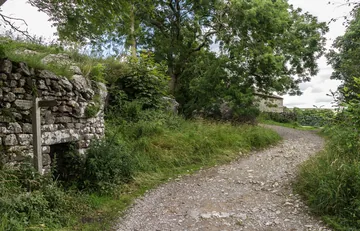
Hints & Tips
Left Over the Stile
Force Gill's bridleway keeps going towards Dent Dale past the waterfall, and it's easy to stay on it. At about 2.4 miles look for a wooden stile by a footpath sign on your left: cross it and follow the sign for Whernside, heading straight away from the fence across the moor.
Steps Down to Bruntscar
Steepest of all is the drop to Bruntscar. From about 5 miles the path loses around 250m in 0.8 miles, much of it on stone steps that are uneven and awkward even though they have been improved, so take it steadily, especially when the rock is wet.
Turn Left at Bruntscar
Anyone on the usual Yorkshire Three Peaks route comes down these steps too, and at Bruntscar that route carries straight on along the main track towards Ingleborough. Don't follow it: turn left through the gate signed for Winterscales to take the quiet field path back along the foot of Whernside.
Stone Trains at Blea Moor
Blea Moor signal box looks after the line through the tunnel and over the viaduct, and beside it is a goods loop where stone trains from the quarries at Arcow and Horton reverse before heading back south. They use it several times a day, so you may see one waiting as you walk past at about 1.1 miles.
A Cairn Under the Arches
Hidden just through one of the viaduct's arches, on the way home, is a commemorative cairn. Its plaque names the shanty towns where the men who built the viaduct lived with their families, so stop for a look before the last stretch back to the road.
No Marked Bays
Verges are all there is at Ribblehead: the parking is free but it's all on the roadside, with no marked bays. Three Peaks walkers and overnight campervans use the same spaces, so on a clear day they fill up fast. Get there early and park tight to the next car so no space is wasted.
Interesting Facts
General
Millstone Hillside
First recorded in 1208 as Querneside, the name comes from the Old English cweorn, a quern or millstone, and sīde, a hillside: the hillside where millstones are found. Great Whernside, 17 miles to the east, has the same origin, and the two are sometimes confused
A Foot in Cumbria
North Yorkshire's highest point sits right on the county boundary. Whernside's summit lies on the border with Cumbria, and the trig point stands just on the Cumbria side, although the whole mountain is within the historic county of Yorkshire
Blown Off the Viaduct
Several Humber cars were blown off their wagons in 1964 as a freight train carried them across Ribblehead Viaduct, which stands about 300m above sea level on open moorland facing the prevailing westerly wind
Saved From Closure
British Rail proposed closing the Settle–Carlisle line in the 1980s, citing the high cost of repairs to its major structures. The Friends of the Settle-Carlisle Line, formed in 1981, rallied public support against it, and in 1989 the line was saved
The Shanty Towns of Batty Moss
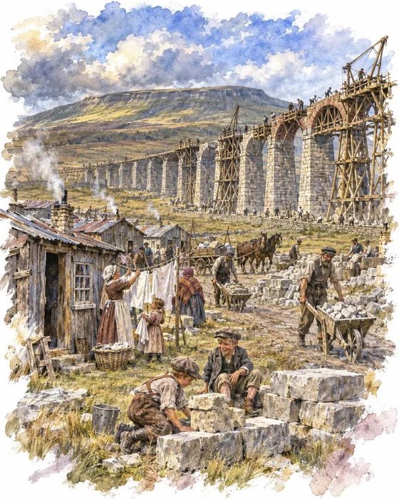
Ribblehead Viaduct crosses Batty Moss, and in the 1870s that bare moor was a building site. The Midland Railway was building the Settle–Carlisle line, and its chief engineer, John Sydney Crossley, designed the viaduct. The first stone was laid on 12 October 1870. Up to 2,300 men worked on it, and most of them lived, often with their families, in temporary camps beside the works, with names like Batty Wife Hole, Sebastopol and Belgravia.
Life in the camps was hard and dangerous. More than a hundred workers died in accidents, in fights or in outbreaks of smallpox. Church of England records show around 200 burials of men, women and children in the graveyard at Chapel-le-Dale, just down the valley, and the church has a memorial to the railway workers.
The plan grew as the work went on: in December 1872 the design was changed from 18 arches to 24, each spanning 45ft. The last stone was laid by the end of 1874, using 1.5 million bricks and limestone blocks weighing up to eight tons, and the whole line opened to passengers on 1 May 1876. The ground where the camps stood is now a scheduled monument, and on the way home you walk right through it, under the arches the navvies built.
Digging Under Blea Moor
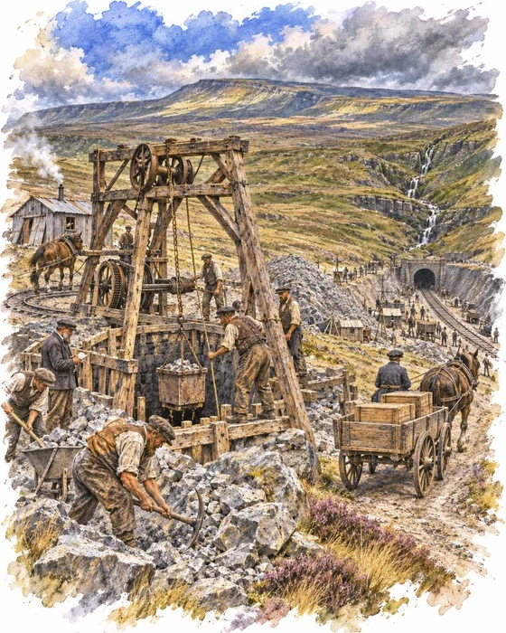
Swallowed by the hillside, the line vanishes into Blea Moor Tunnel just beyond the aqueduct where the path crosses it. At 1½ miles it is the longest tunnel on the Settle–Carlisle line, almost twice as long as the next, and it runs some 500ft below the moor it is named after. Work started in 1872, with dynamite brought in carts from Carlisle and Newcastle, and the miners who dug it were paid 5 shillings to 5 shillings and 6 pence a day.
To speed things up, seven shafts were sunk from the moor above, so that sixteen gangs could dig at once: one at each open end and two from the foot of each shaft. Four of the shafts were later filled in, but three were kept for ventilation and are still used today. The tunnel took more than four years and was finished in 1875, at a cost of £109,000.
The bridge you cross is a piece of the same work. Built around 1870 and now Grade II listed, it takes the path over the railway, and Force Gill crosses the line beside you, running in a curved stone channel that drops down eight long steps as it crosses the line. Trains coming from the south climb towards the tunnel at 1 in 100, the end of a long climb from Settle Junction, and reach their highest point at the 1,100ft contour just under half a mile inside.
More Hikes
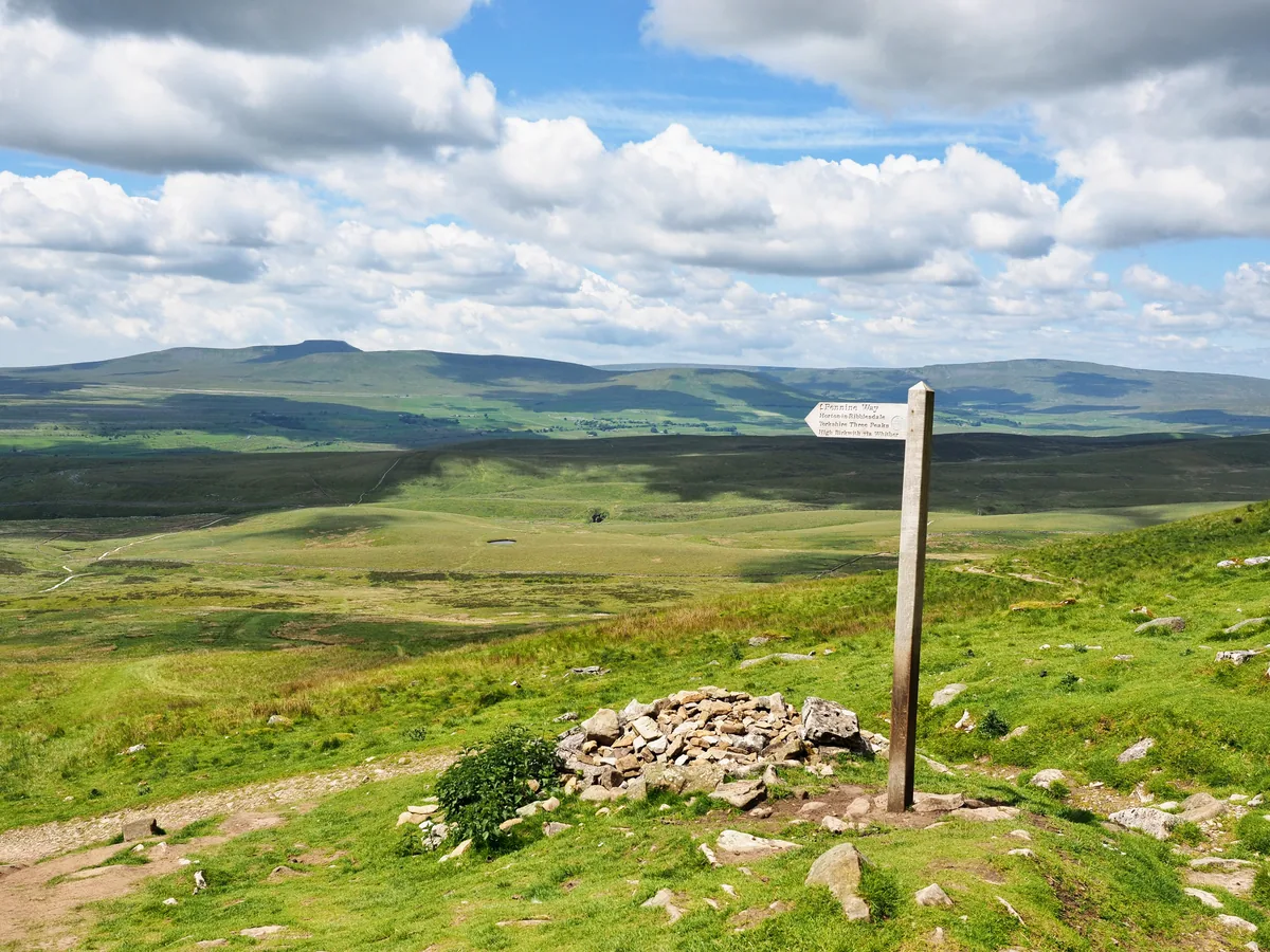 HardYorkshire Three Peaks24.7 mi · 8–14 hrs · 1603m
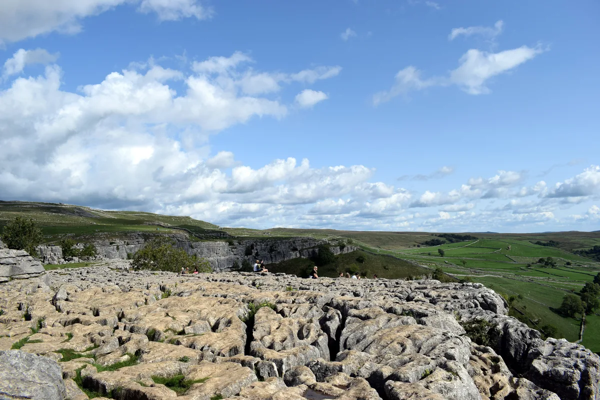 ModerateMalham Cove & Gordale Scar8.5 mi · 4–5 hrs · 300m
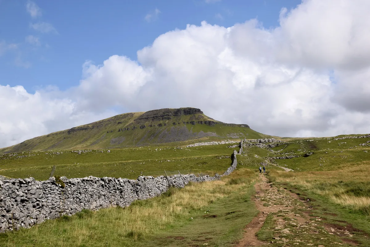 ModeratePen-y-ghent6.6 mi · 3–4½ hrs · 477m
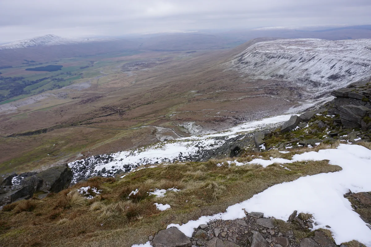 ModerateIngleborough11.3 mi · 5–6 hrs · 707m
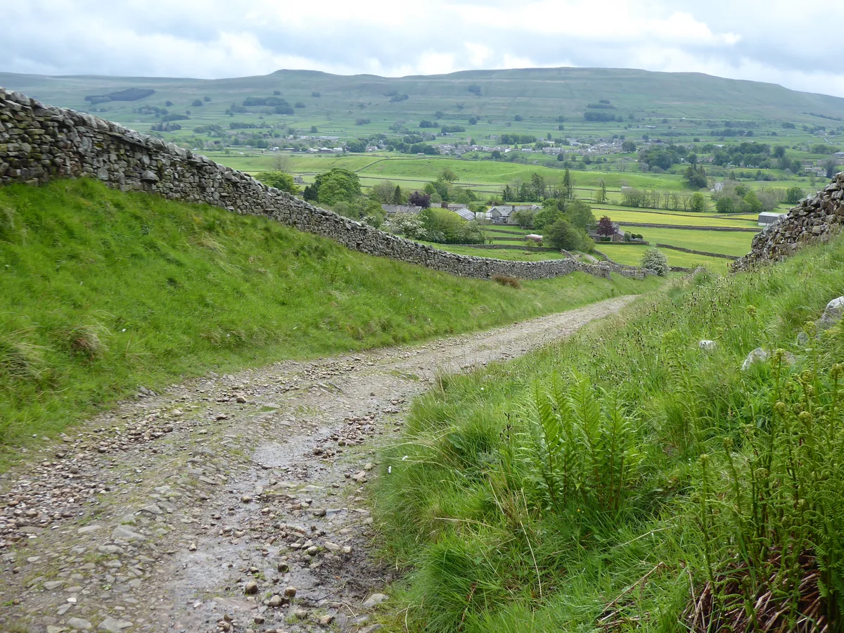 HardGreat Shunner Fell & Hardraw Force12.7 mi · 5–7 hrs · 554m
 HardThe Calf7.9 mi · 4–5 hrs · 782m
Subscribe for updates on new hikes and National Parks
One email a month with new hikes and routes. No spam.