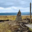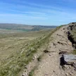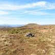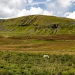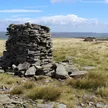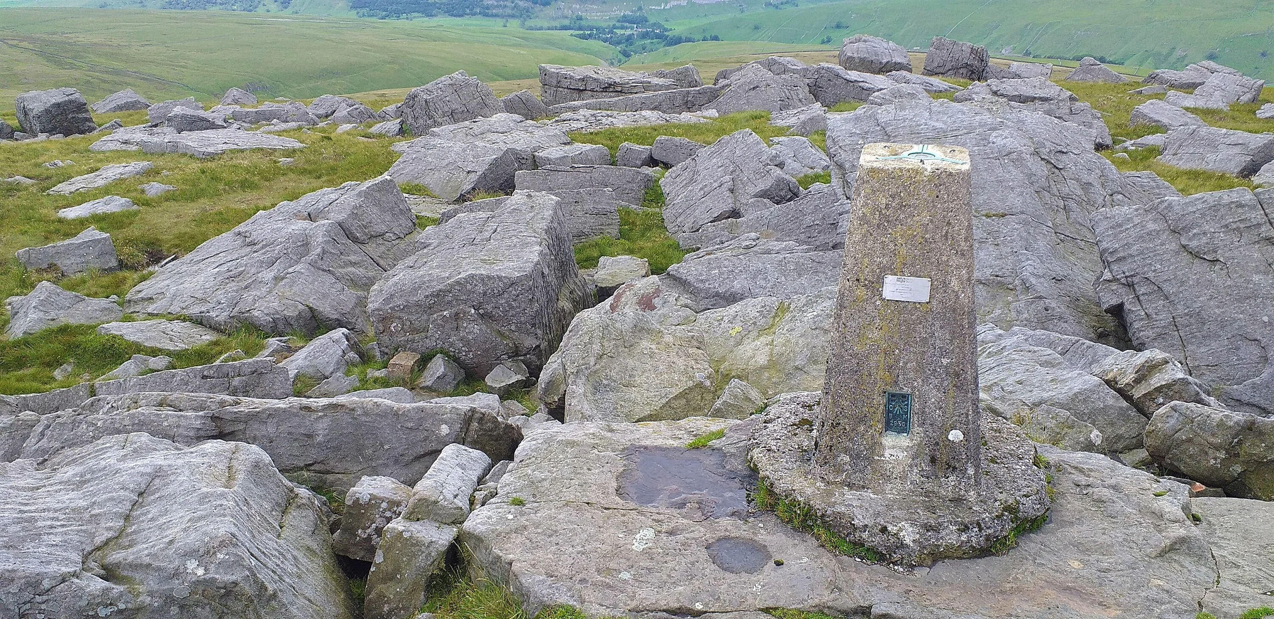



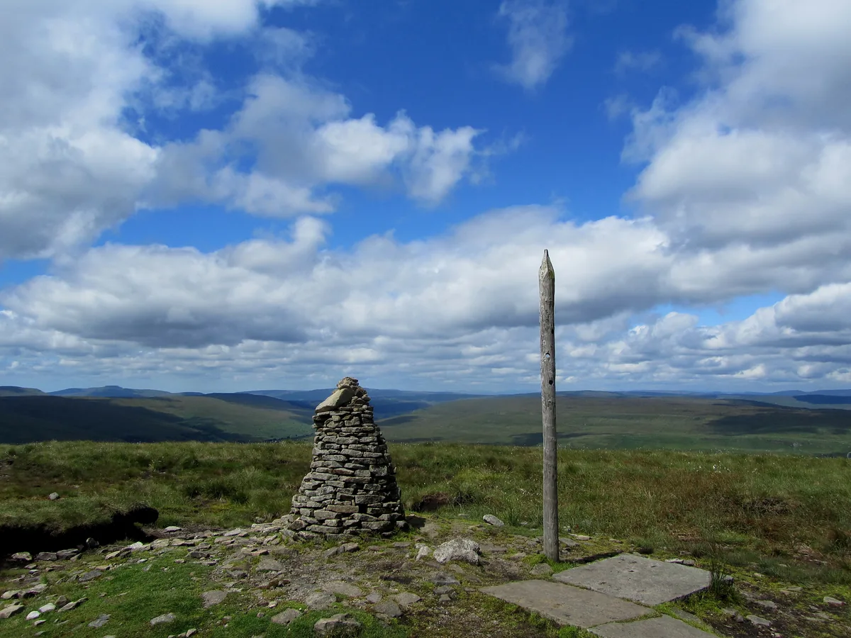
Great Whernside is the highest ground on the east side of Wharfedale, rising above Kettlewell, and it forms the watershed between Wharfedale and Nidderdale; the River Nidd rises on its eastern slopes. A very large cairn and a trig point mark the top. It shares its name with Whernside, 17 miles to the west, and the word Great first appears in the records in 1771.
Very large cairn
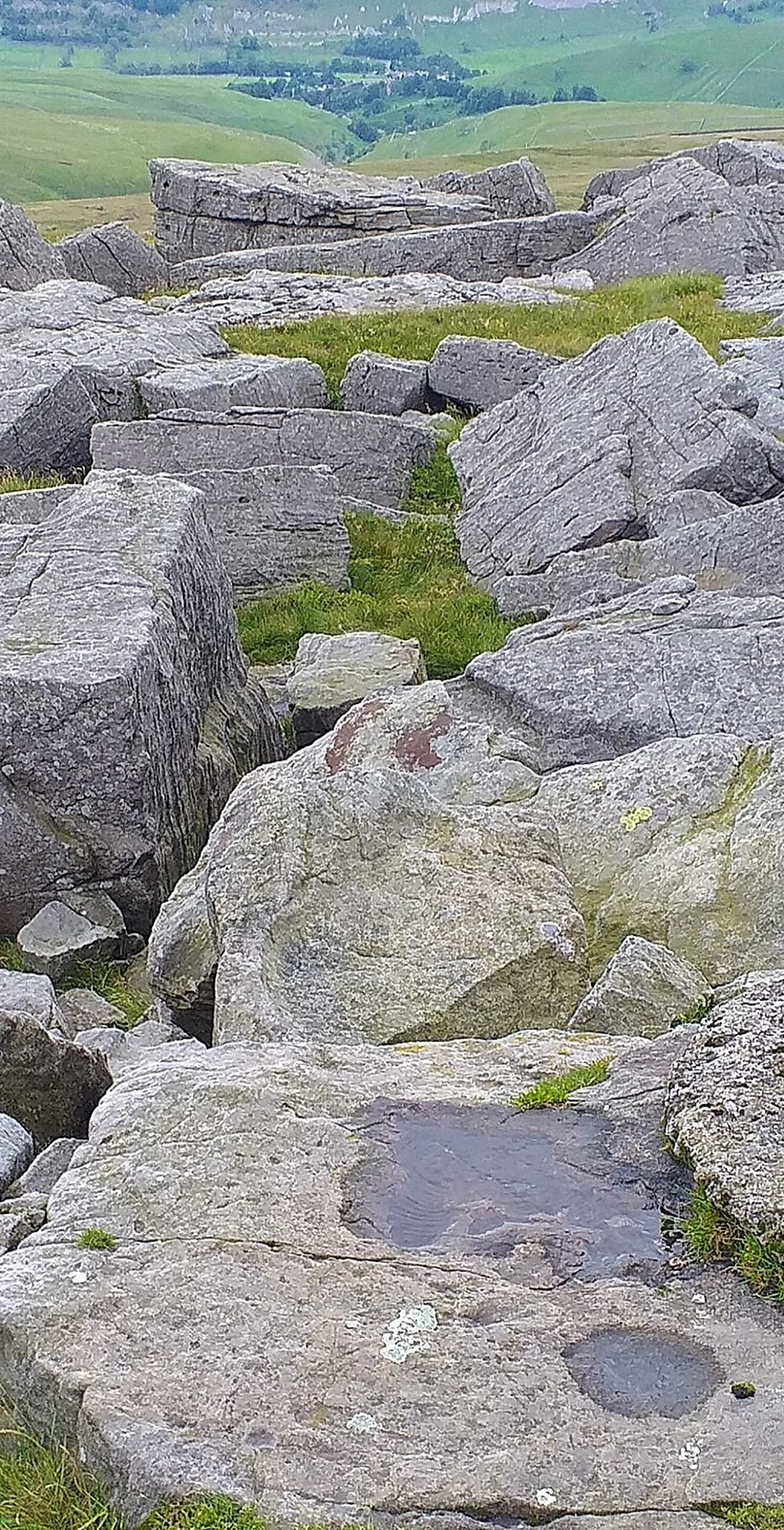
Millstone grit forms the upper part of the hill, and it was once quarried on the Wharfedale side.
HewittNuttallMarilynSimm
Summit Weather
On The Map
Great Whernside isn't on one of our routes yet. Our nearest hike, Buckden Pike, passes about 3 miles from the summit.
Safety: Routes are a guide only. Carry a map and compass and know how to use them, check the weather before you go, and turn back if in doubt. You use this route at your own risk.