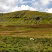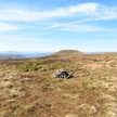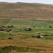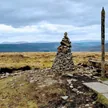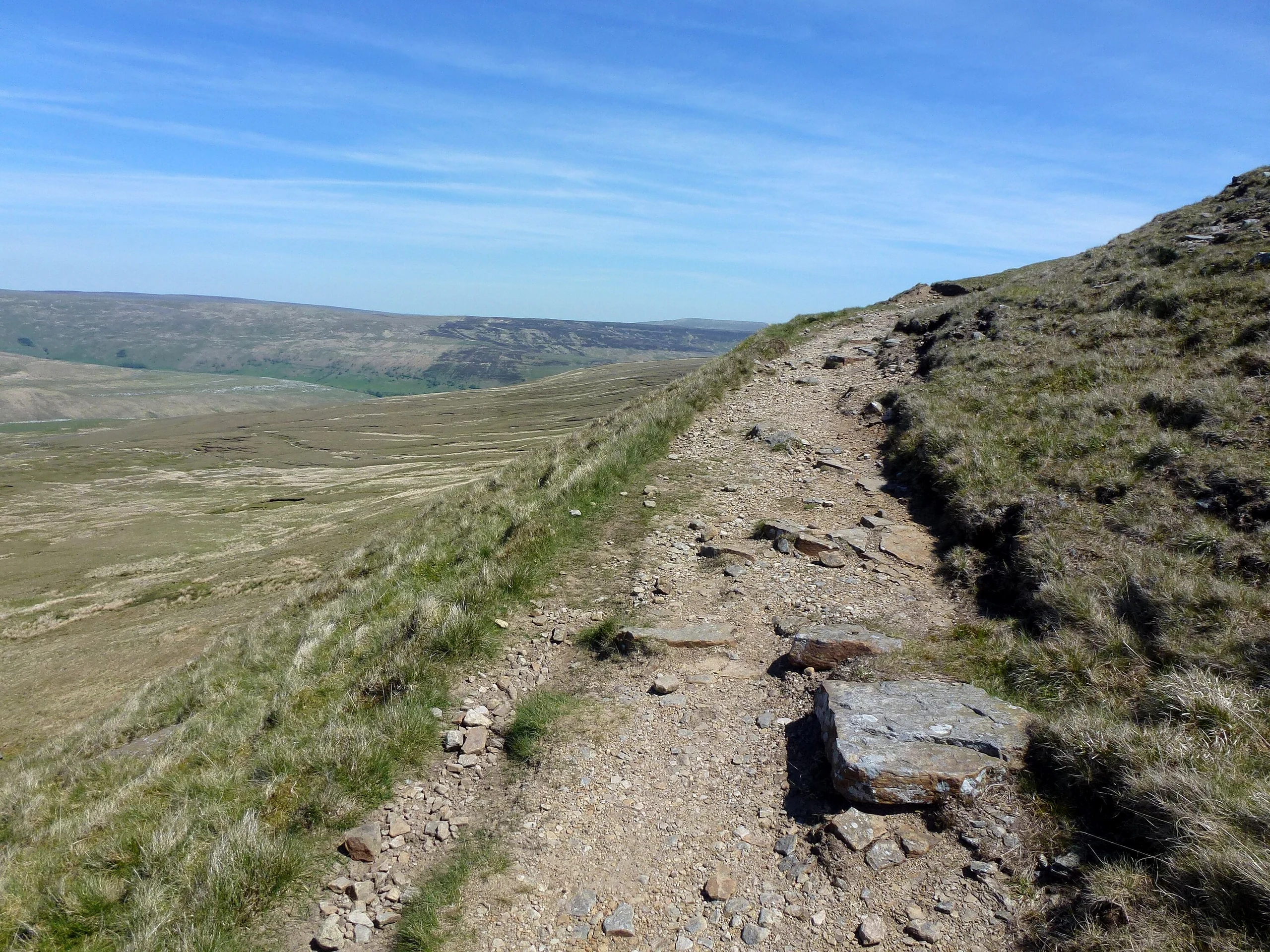

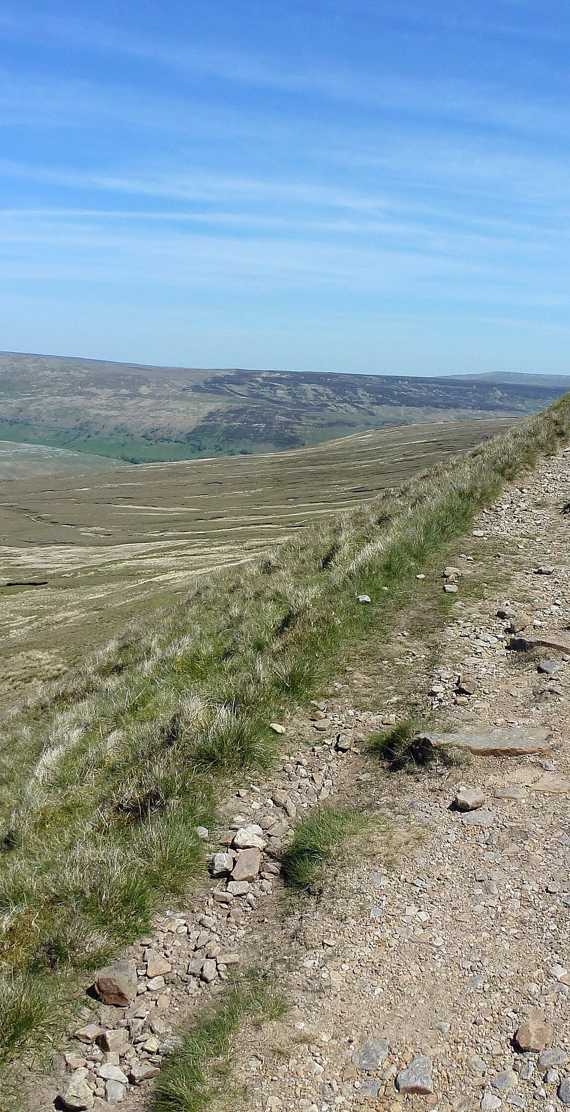


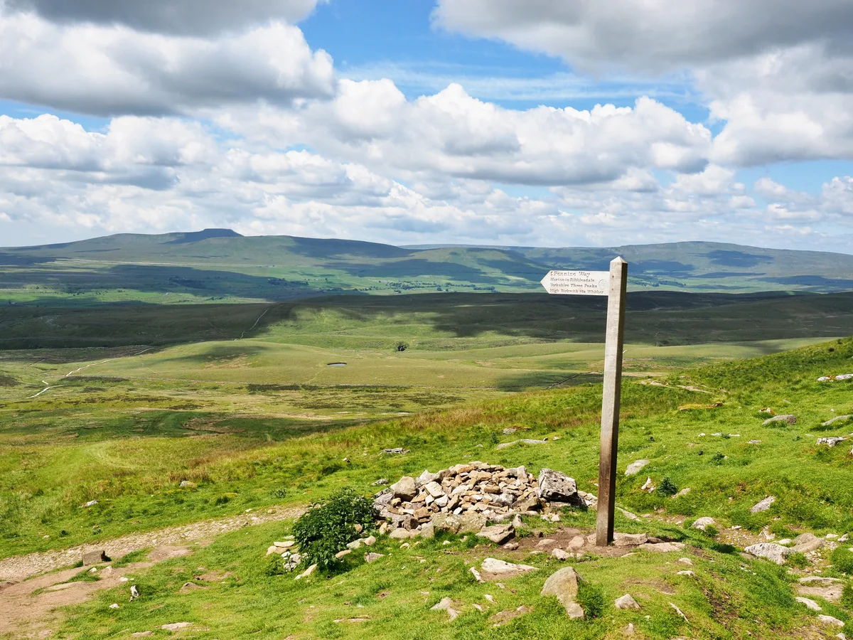
Fountains Fell takes its name from the Cistercian monks of Fountains Abbey, who owned the land in the 13th century and grazed sheep on it. Coal was mined on the top from 1790 to 1860 for lead smelting, and pits, shafts and the remains of a coke oven are still there. The highest point is a grassy knoll just north of the summit cairn, and the Pennine Way crosses the fell about a third of a mile to the north.
Grassy knoll 15 m north of cairn
HewittNuttallMarilynSimm
Summit Weather
On The Map
Fountains Fell isn't on one of our routes yet. Our nearest hike, Pen-y-ghent, passes about 1.9 miles from the summit.
Safety: Routes are a guide only. Carry a map and compass and know how to use them, check the weather before you go, and turn back if in doubt. You use this route at your own risk.