


Hill data: The Database of British and Irish Hills v18.3 (CC BY 4.0)Height694.1 m2,277 ft
Grid RefSD 83854 73383
OS MapOL2OS Explorer
AreaSouthern FellsYorkshire Dales
Lat / Long54.15601, -2.24874
Sunrise At the summit
Sunset
Prominence304.5 m999 ft
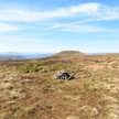
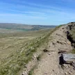
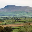
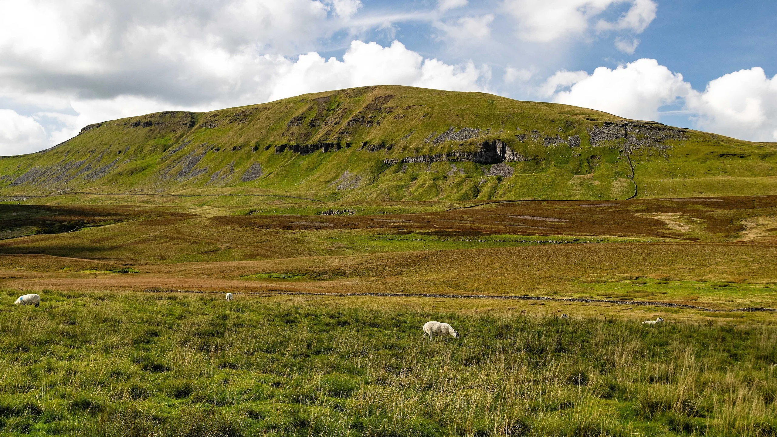
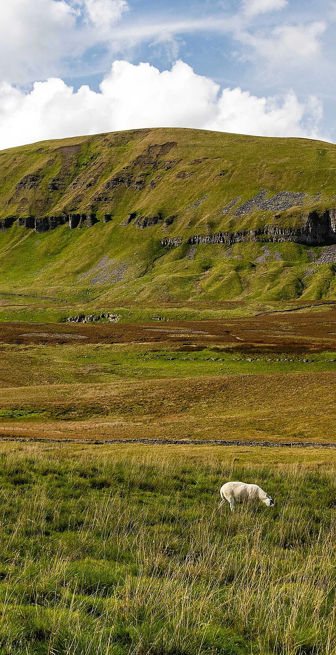
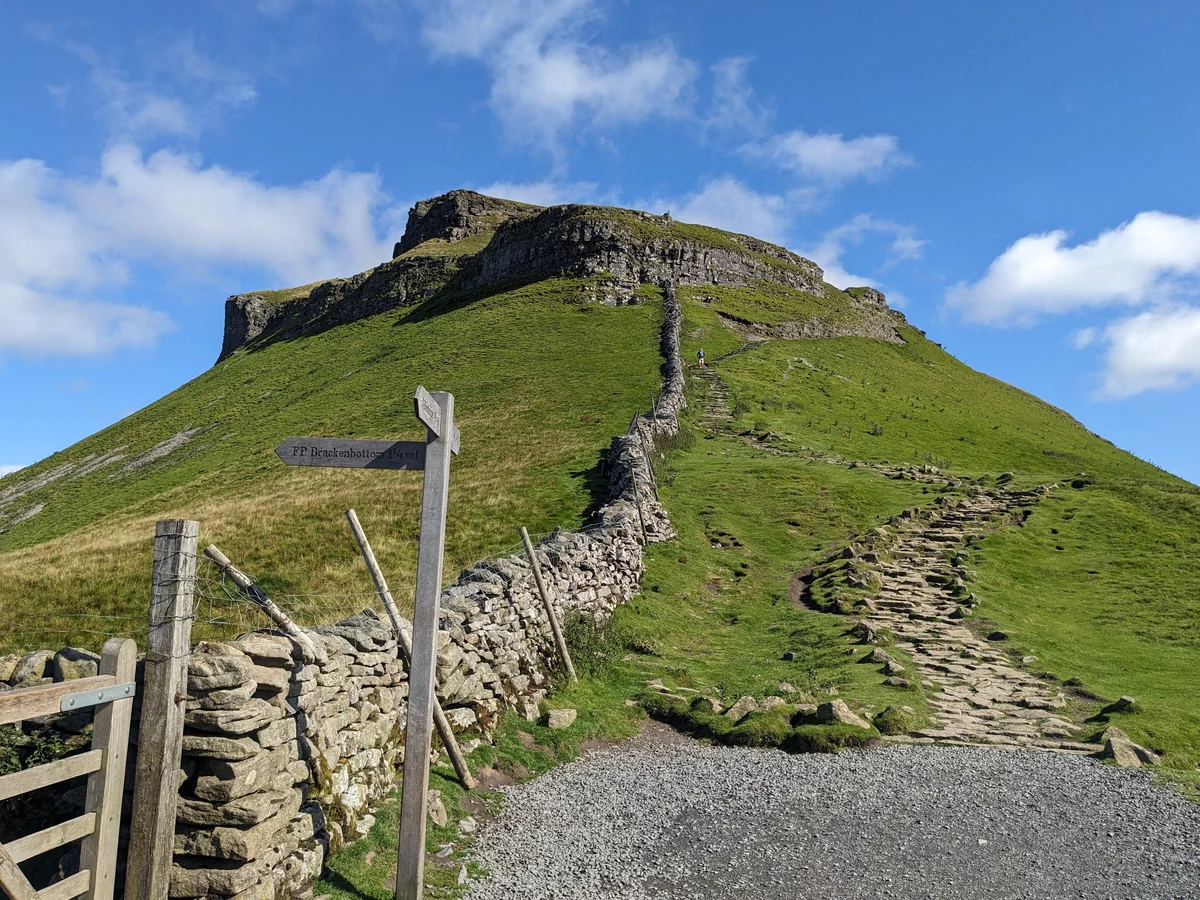
The smallest of the Yorkshire Three Peaks is the easiest to pick out: Pen-y-ghent rises above Horton-in-Ribblesdale in a crouching, stepped profile, with a trig point on the top. The Pennine Way climbs its southern nose and crosses the summit, which for walkers heading north from Edale is the highest point the trail has reached so far.
Summit
Rock 3 m south-east of trig point
On These Lists
HewittNuttallMarilynSimm
Summit Weather
Our Route
Distance6.6 mi10.6 km
Ascent477 m1,560 ft
Time3–4½ hrswalking
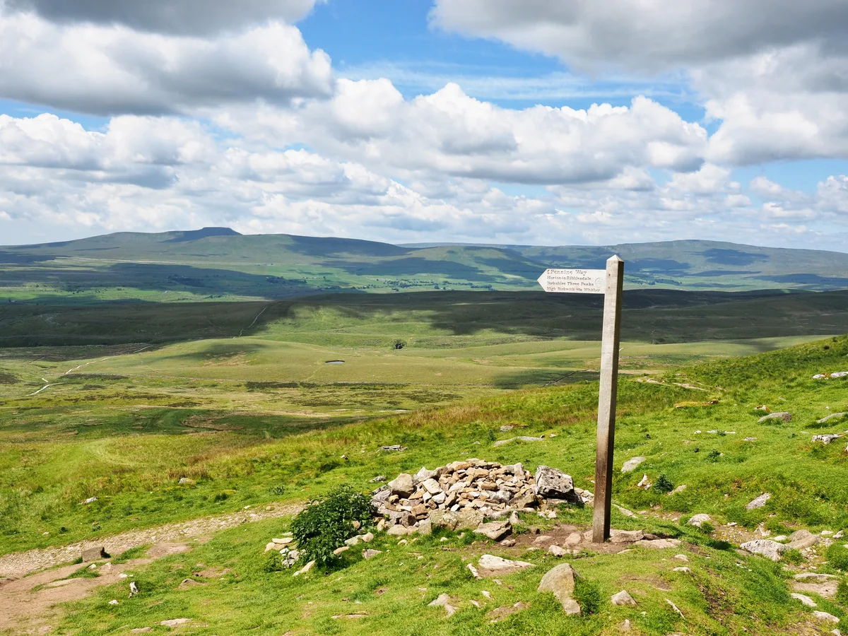 Walk it · Our hikePen-y-ghent6.6 miles · Moderate · 3–4½ hrs
 Walk it · Our hikeYorkshire Three Peaks24.7 miles · Hard · 8–14 hrs
Start & FinishHorton-in-RibblesdaleSD 8076 7258 · circular route
DirectionsSafety: Routes are a guide only. Carry a map and compass and know how to use them, check the weather before you go, and turn back if in doubt. You use this route at your own risk.