


Hill data: The Database of British and Irish Hills v18.3 (CC BY 4.0)Height679.9 m2,231 ft
Grid RefSD 84925 75207
OS MapOL2 / OL30OS Explorer
AreaSouthern FellsYorkshire Dales
Lat / Long54.17243, -2.23243
Sunrise At the summit
Sunset
Prominence59 m194 ft
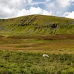
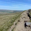
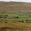
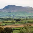
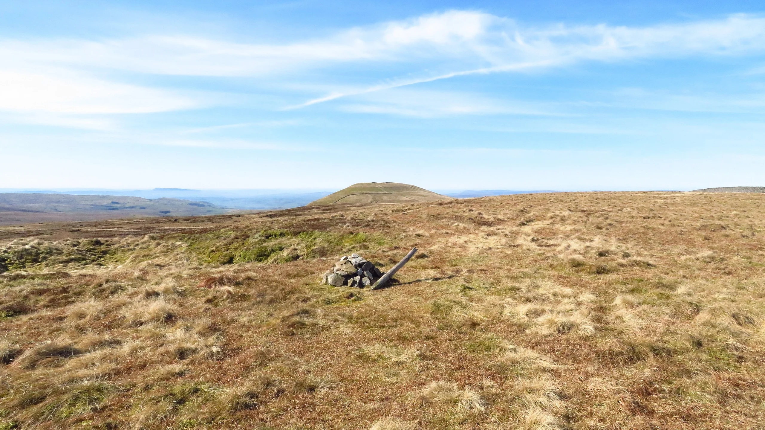
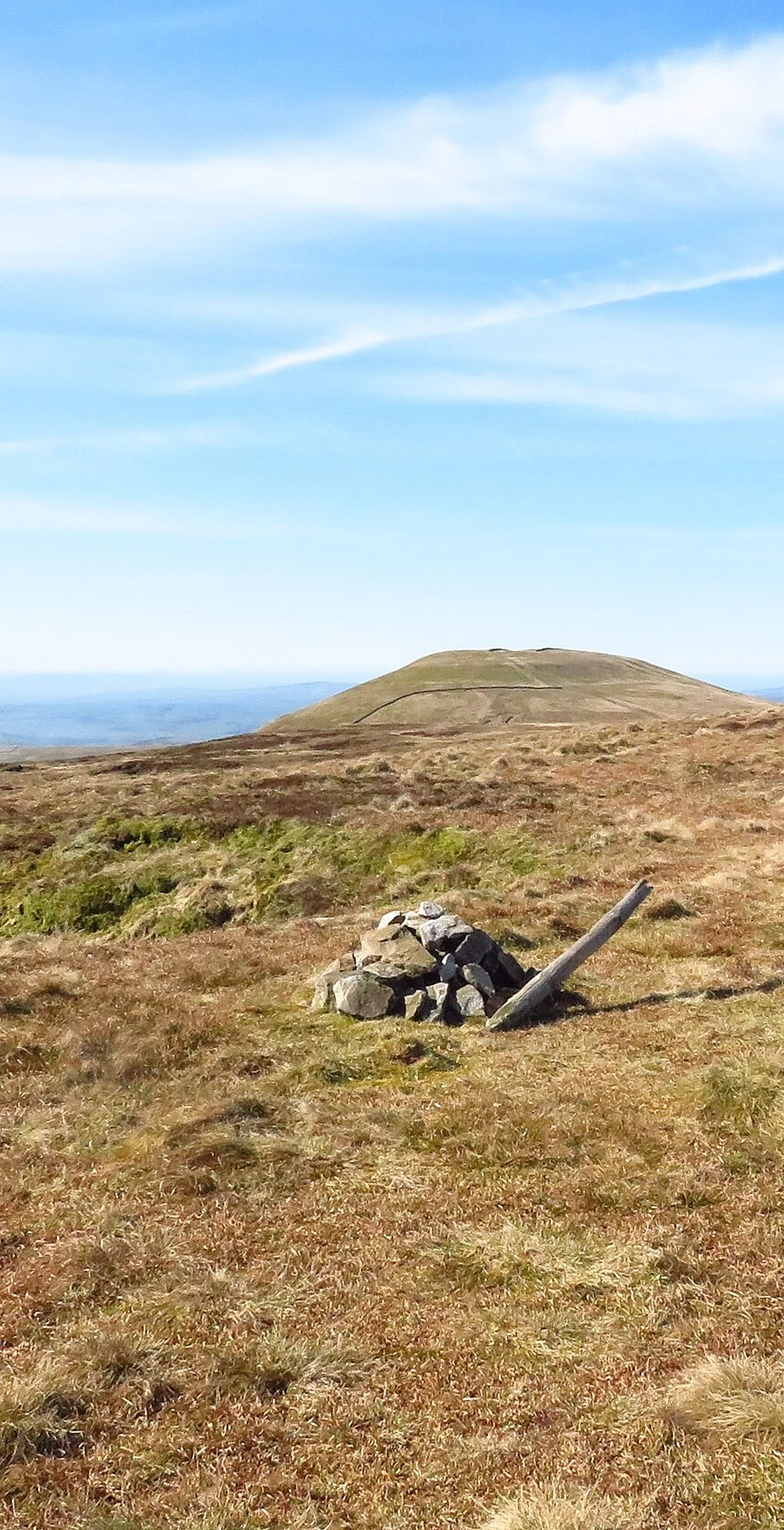
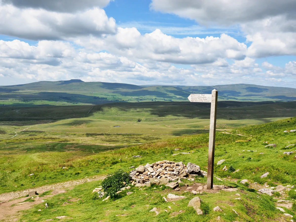
Plover Hill is the high moorland north of Pen-y-ghent, joined to it by an unbroken spread of high ground. It rises between Hesleden Beck and Foxup Beck, two side valleys of Littondale, and its summit area is so flat that only two small stones mark the highest point.
Summit
Two small stones
On These Lists
HewittNuttallSimm
Summit Weather
On The Map
Plover Hill isn't on one of our routes yet. Our nearest hike, Pen-y-ghent, passes about a mile from the summit.
Safety: Routes are a guide only. Carry a map and compass and know how to use them, check the weather before you go, and turn back if in doubt. You use this route at your own risk.