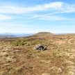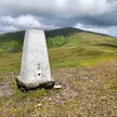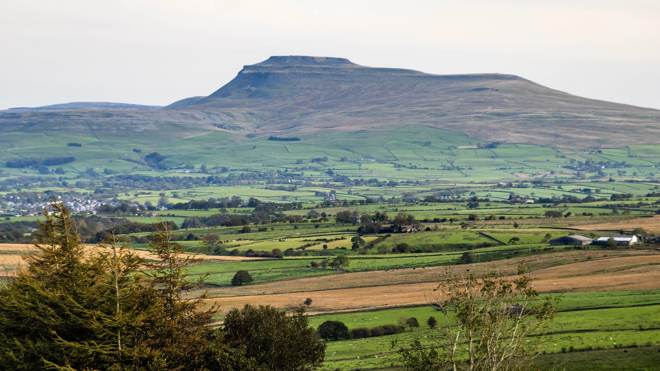

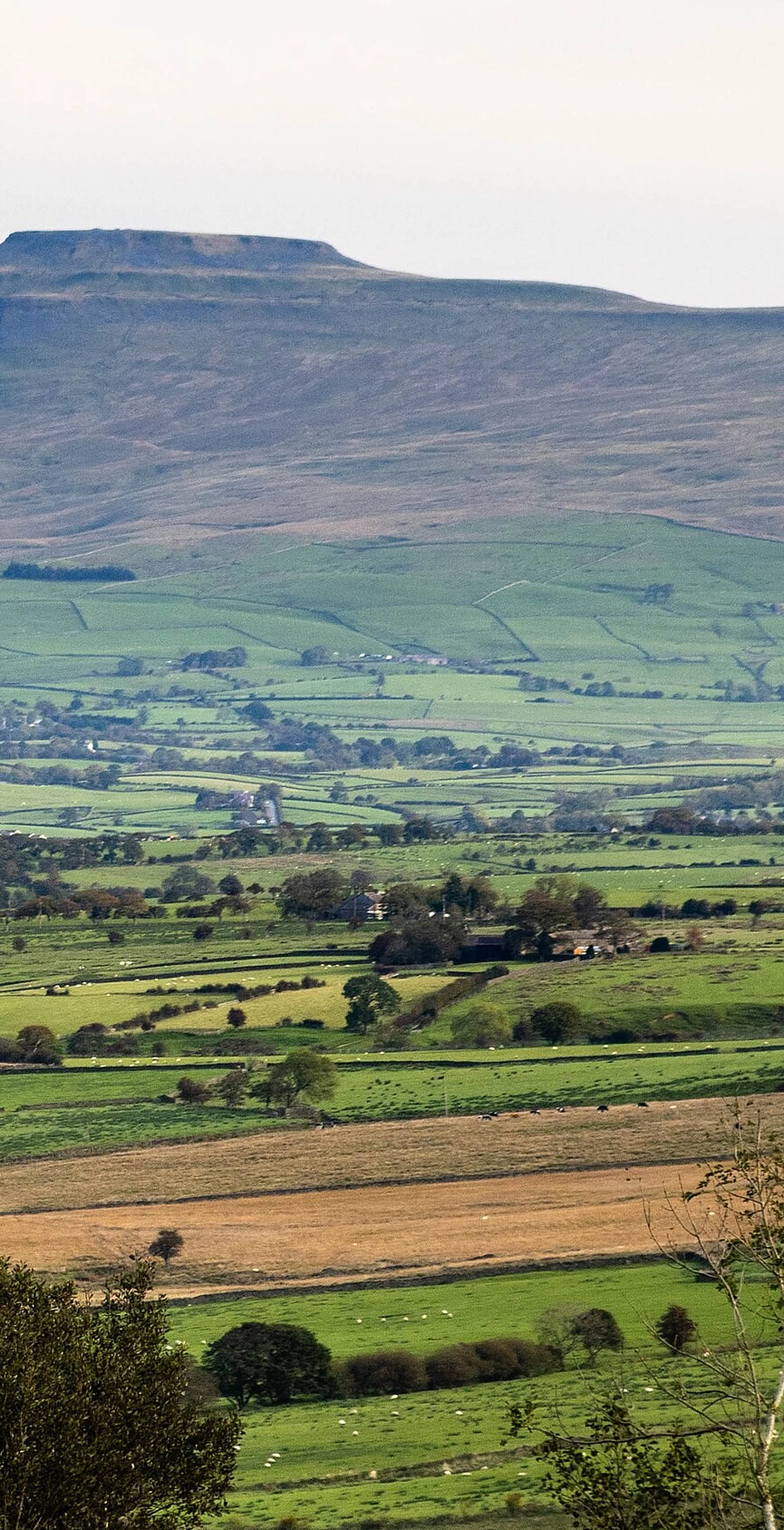


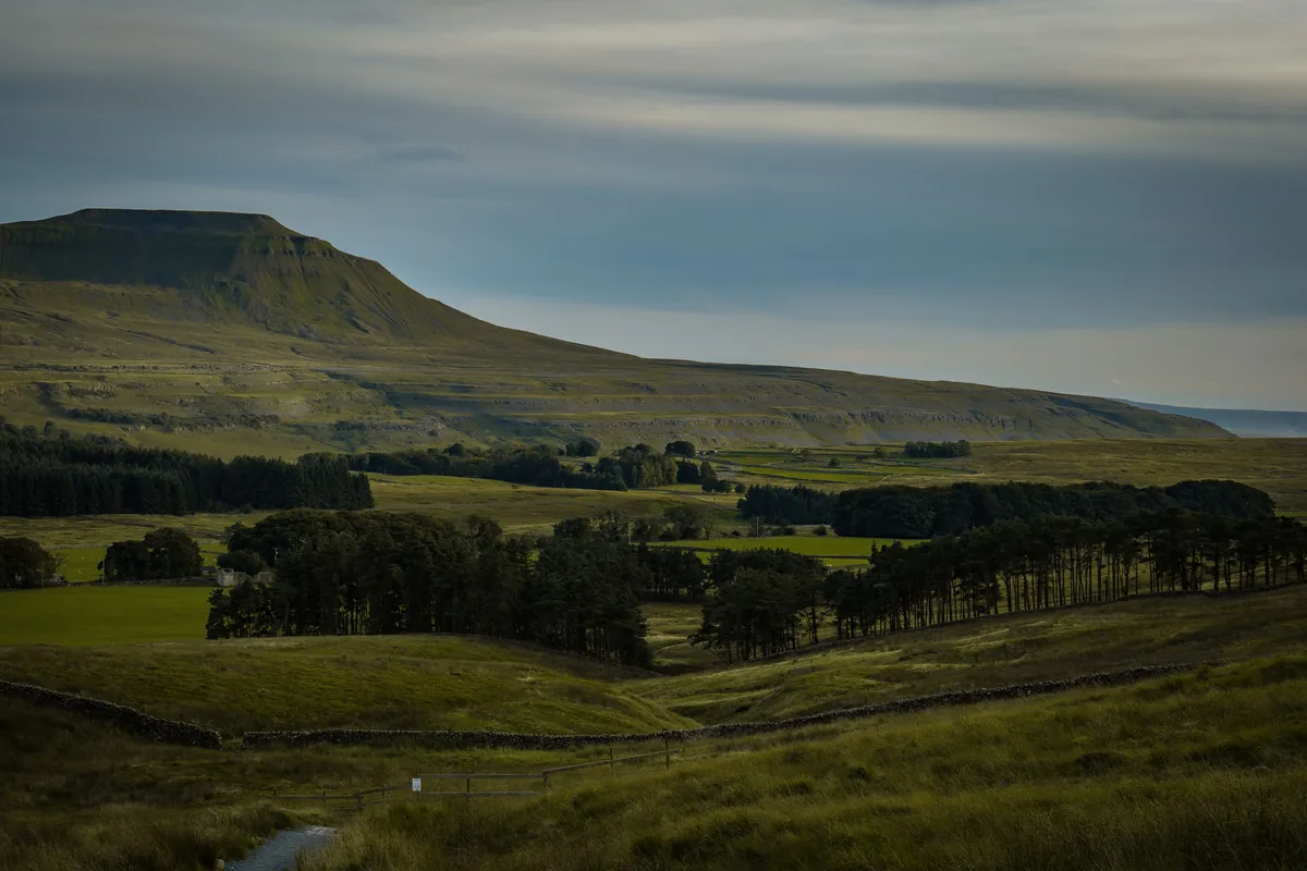
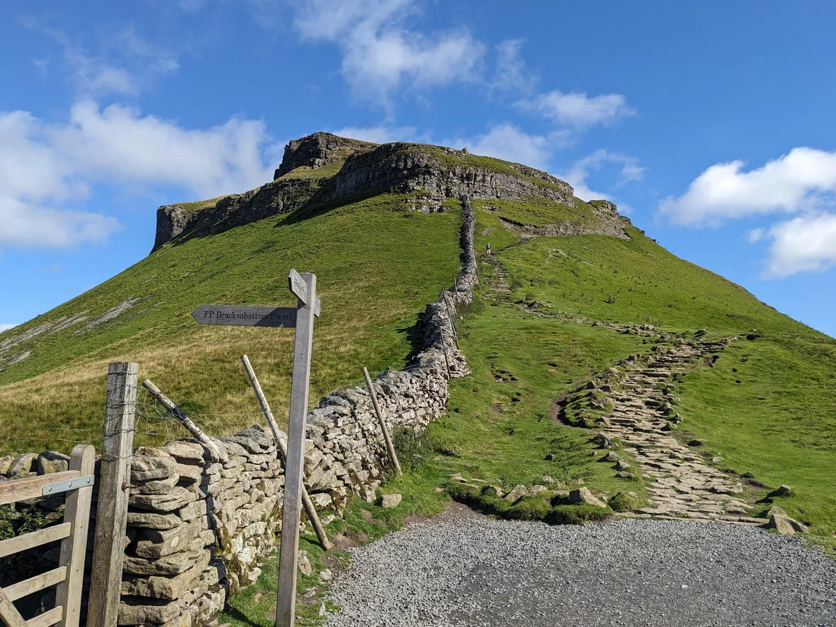
Ingleborough is the second-highest hill in the Yorkshire Dales and the most recognisable of the Three Peaks, its flat-topped block visible for miles around. The summit plateau is a scheduled monument, ringed by the tumbled wall of a large hillfort and scattered with ring-shaped stone mounds, and it holds a trig point, a large cairn and a cross-shaped windshelter with a view indicator at its centre.
Large cairn between trig point and shelter
A cap of Millstone Grit about 30 m thick sits on layered Yoredale shales and sandstones, above a belt of Great Scar Limestone some 180 m thick where the streams off the hill vanish into potholes.
HewittNuttallMarilynSimm
Summit Weather
Our Route
 Walk it · Our hikeIngleborough11.3 miles · Hard · 5–6 hrs
 Walk it · Our hikeYorkshire Three Peaks24.7 miles · Hard · 8–14 hrs
Safety: Routes are a guide only. Carry a map and compass and know how to use them, check the weather before you go, and turn back if in doubt. You use this route at your own risk.