



Contents
Overview
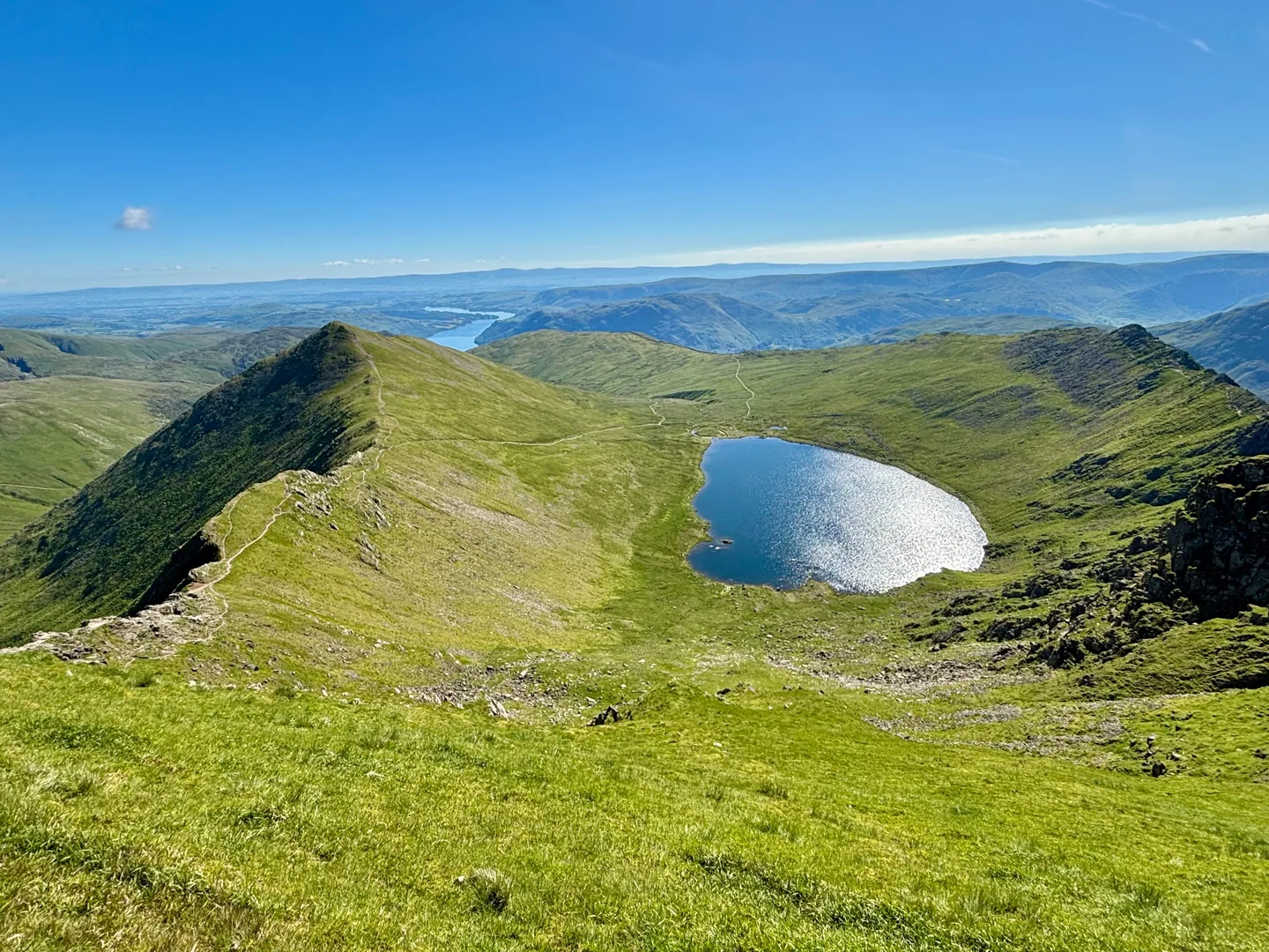
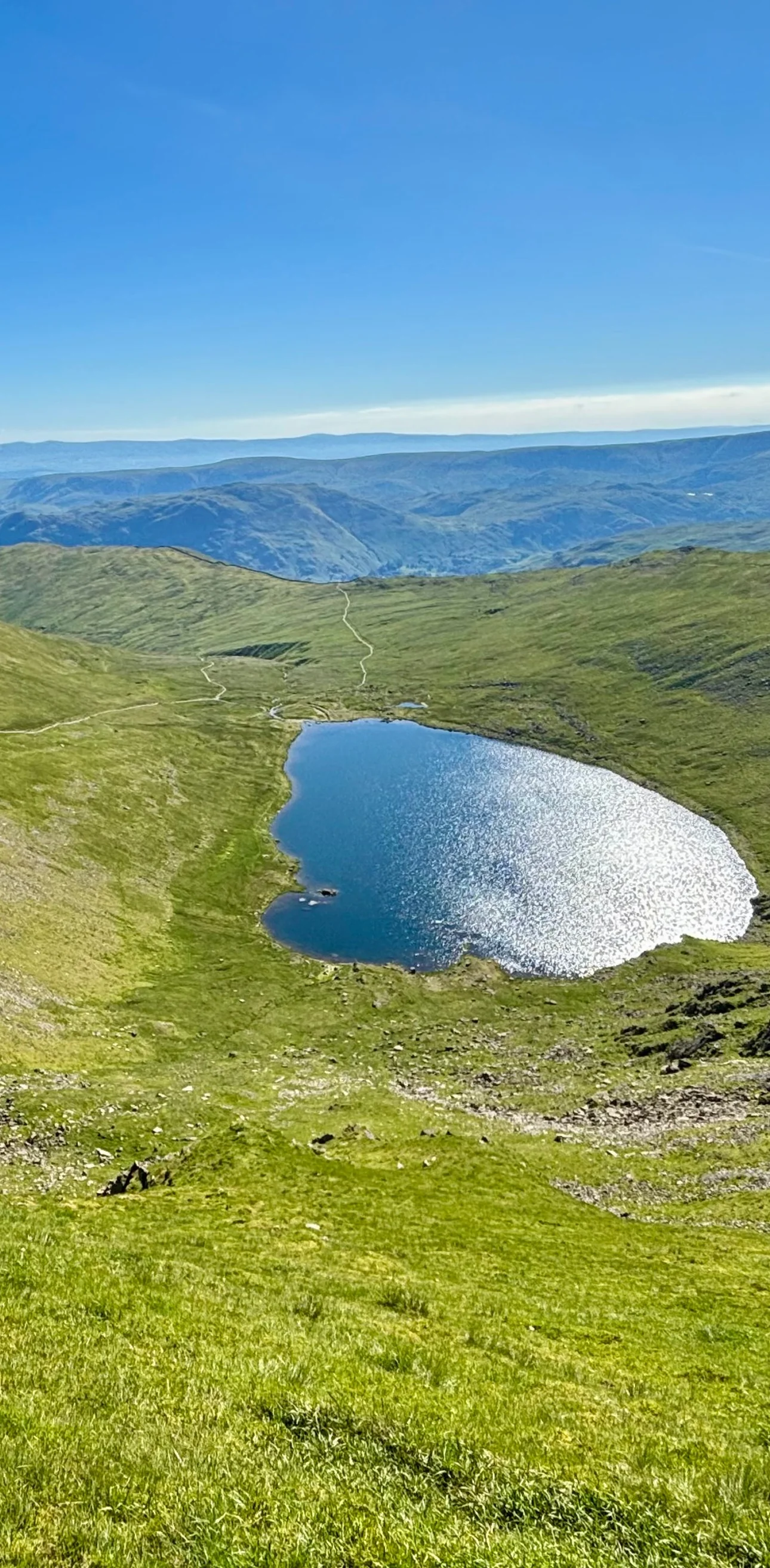
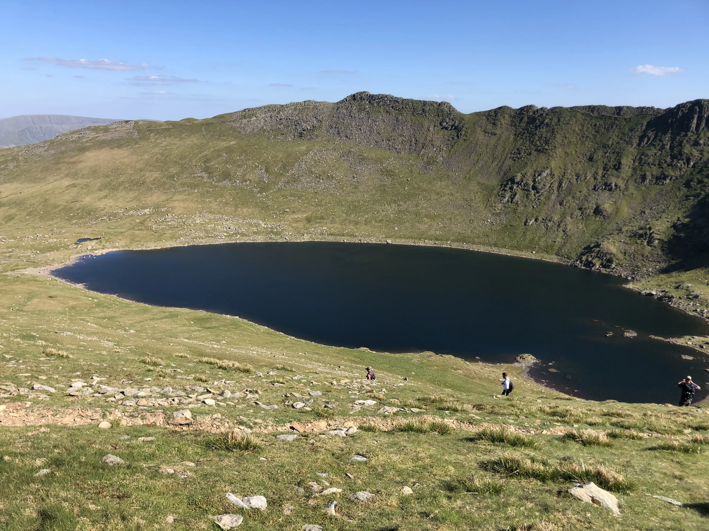
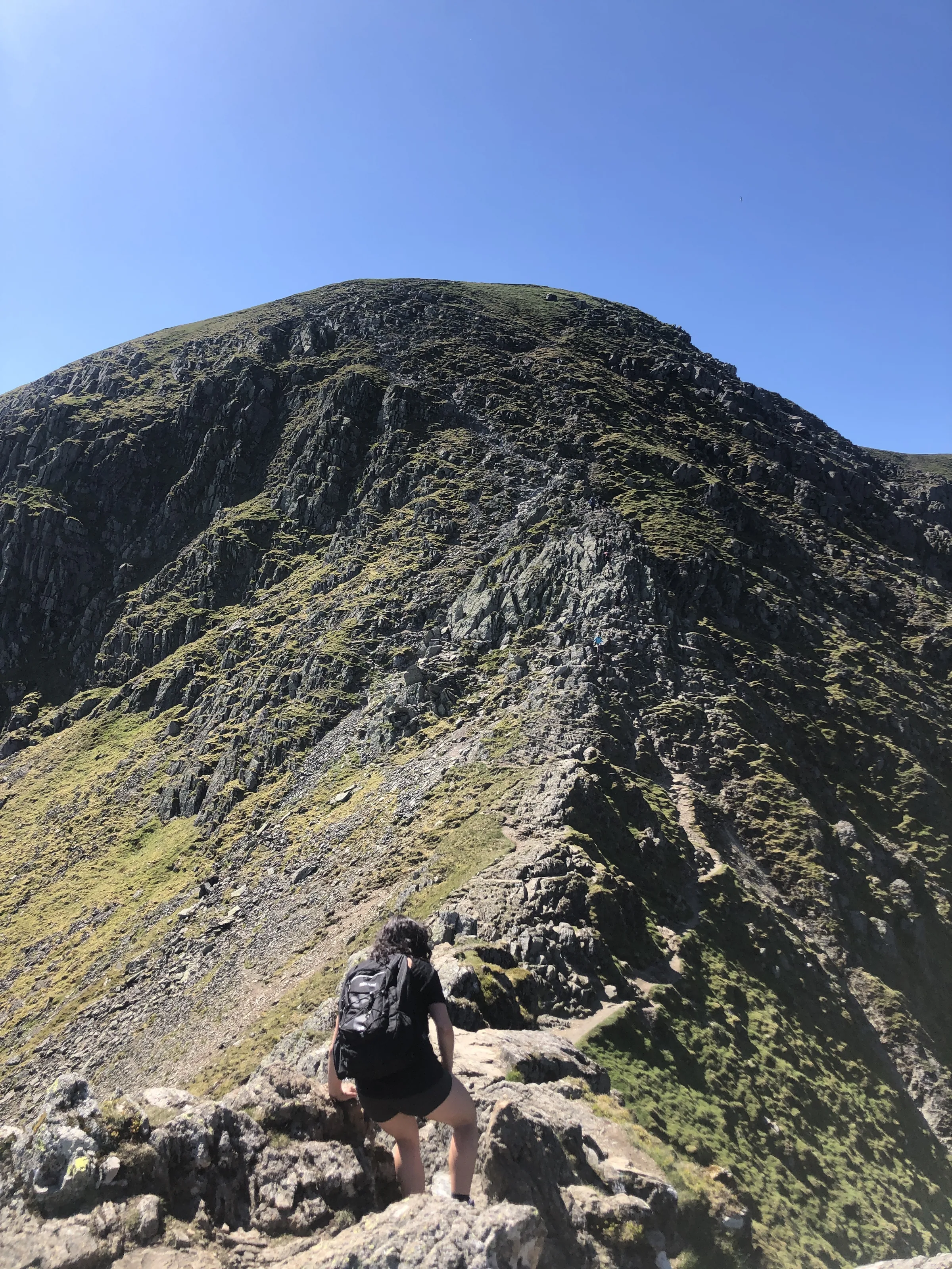
Two sharp ridges reach out from the eastern side of Helvellyn, curling round the deep cove that holds Red Tarn, and this walk goes up one and down the other. Striding Edge, the southern ridge, is the most famous in the Lake District and a classic grade 1 scramble. Swirral Edge, to the north, is shorter and ends at the neat pyramid of Catstycam. Between them stands Helvellyn itself, at 949.8m the third-highest mountain in England, with a summit so broad and flat that a small plane landed on it in 1926.
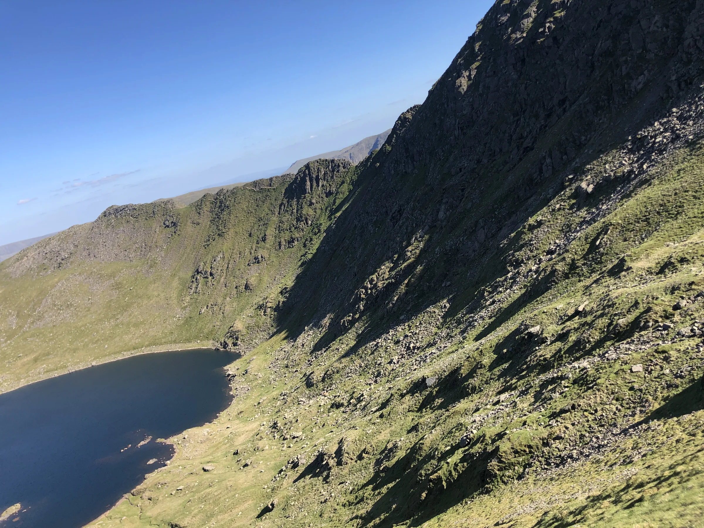
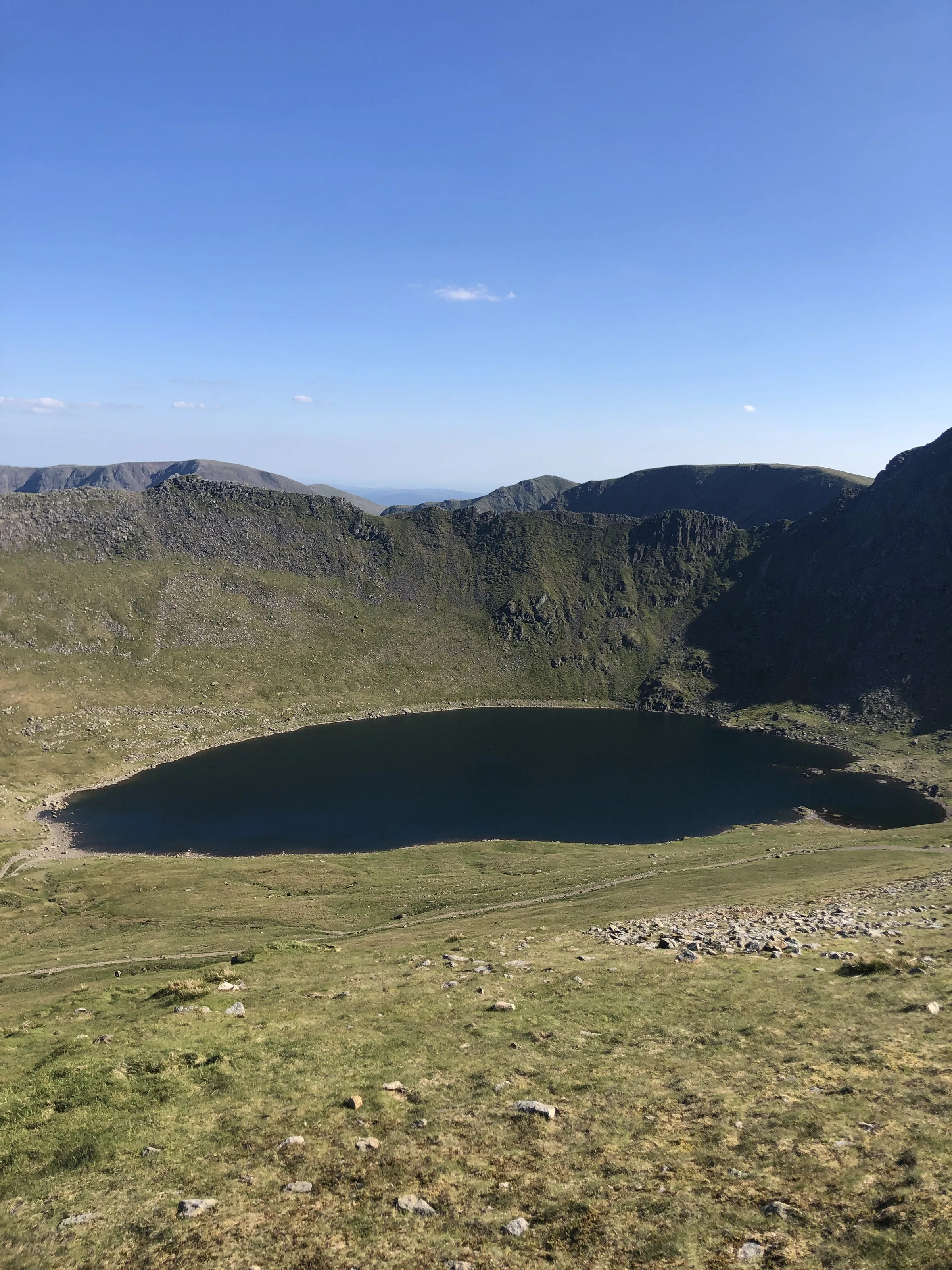
The loop starts in Glenridding, at the southern end of Ullswater. You climb beside Mires Beck onto Birkhouse Moor, then follow the wall to the Hole-in-the-Wall, where Striding Edge begins. Past the rocky top of High Spying How the ridge narrows to a crest, with Red Tarn far below on your right, and a steep, rough climb brings you up onto the summit plateau. You leave by Swirral Edge, scramble down to a dip and climb over the pointed top of Catstycam. A steep ridge then drops to Red Tarn Beck, and the path runs down the valley past the old Greenside lead mine before rejoining your way up for the final stretch back to the village. This walk takes in three Wainwrights: Helvellyn, Catstycam and Birkhouse Moor. Find all 214 on our Wainwrights map.
Go prepared, stay safe,
and enjoy the hike!
Key Info
Crowds
Very High
Helvellyn is one of the most climbed mountains in the Lake District, and Striding Edge is the big draw. On sunny weekends you will share the ridge and the summit with a lot of people. An early or late start, or a weekday, makes a huge difference.
When it gets busy
- Weekends, bank holidays and school holidays
- Sunny days, when the summit can be packed
- The scramble down off the end of Striding Edge, where a queue often forms on busy weekends
- Hole-in-the-Wall, a popular stop before the ridge
- Glenridding car park, which fills quickly
For a quieter walk
- Start early from Glenridding and you may have Striding Edge largely to yourself
- Go late in the day, when most people have already come down (general advice, carry a head torch)
- Pick a weekday rather than a weekend
- Come by bus: the 508 runs all year to Glenridding, and the 509 runs from Keswick in season
- Take in Catstye Cam on the way down Swirral Edge, which most people skip
- If you just want the summit, the Thirlmere routes are quieter, though less exciting
Our crowd rating is for a typical sunny weekend in spring or summer, in the middle of the day. Timing makes a big difference, so even a busy walk can be quiet early, late or midweek.
The Route
Disclaimer: Route information and GPX files are provided for general guidance only. Conditions can change, so always use your own judgement and navigate responsibly. See our Terms of Use & Disclaimer for more information.
Route Guide
- 1
Up Mires Beck to Birkhouse Moor2.0 mi · 555m up · 10m downStart from the National Park's Glenridding car park, in the middle of the village. Head west out of Glenridding on the lane towards Gillside, then turn left onto the path that climbs beside Mires Beck. It zigzags steeply up the fellside onto the ridge and swings round to the broad top of Birkhouse Moor, with a stone wall alongside.
- 2
Along the wall to the Hole-in-the-Wall0.5 mi · 25m up · 10m downFollow the wall south-west, dipping gently to the Hole-in-the-Wall. The old gap in the wall has been filled in, and you cross by a ladder stile. This is where Striding Edge begins.
- 3
Across Striding Edge0.8 mi · 135m up · 25m downThe ridge is rounded at first, with a good path on its right-hand side. At High Spying How it narrows. You can scramble along the crest or keep to the path just below it on the right, which switches to the left near the end. If you stay on the very top, you have to climb down a short, awkward gully from the last rock tower.
- 4
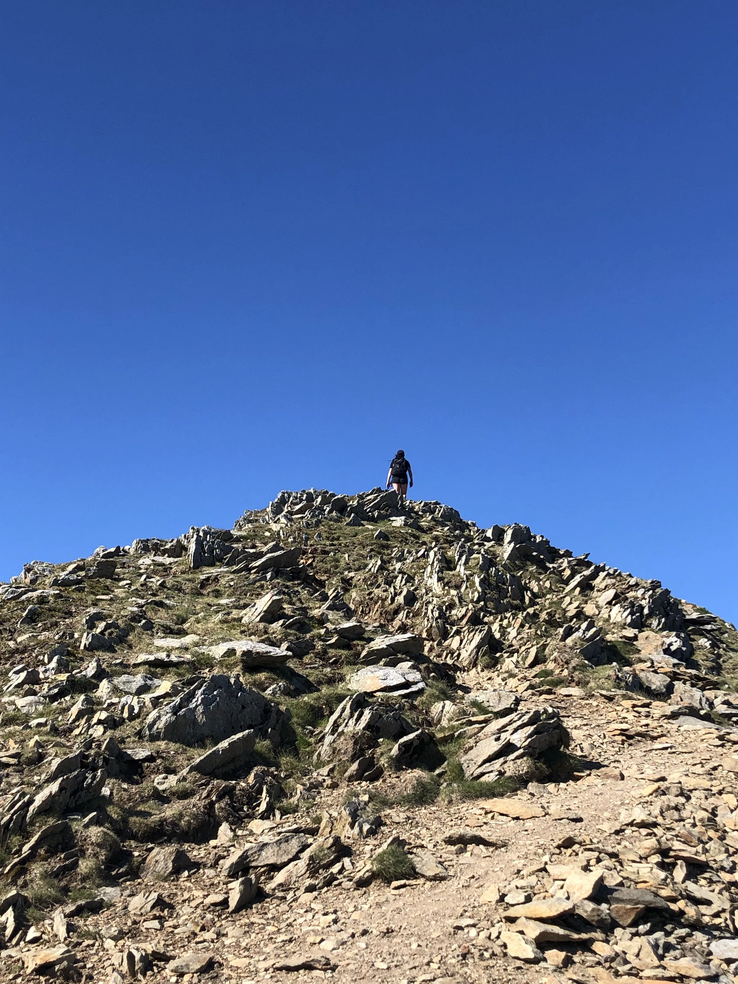
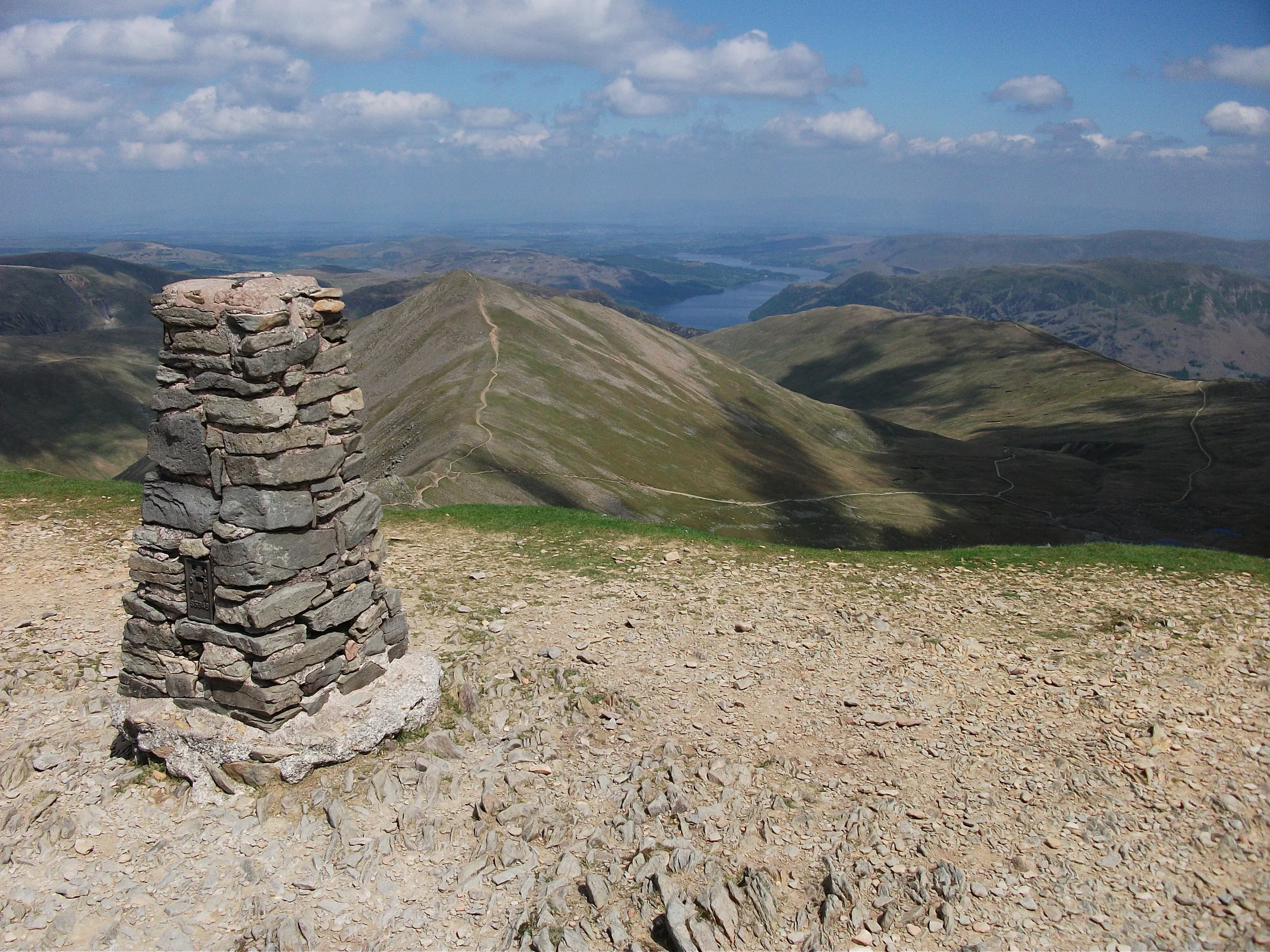
Climb to the summit0.4 mi · 115m up · 5m downWhere the ridge meets the mountain, scramble or walk up about 80m of steep, rocky ground onto the summit plateau. The top is a small rocky knoll with a cairn, about 200m further on, and the trig point is just to the north.
- 5
Down Swirral Edge to Catstycam0.7 mi · 55m up · 130m downWalk north-west along the edge of the plateau to the top of Swirral Edge, then turn right and scramble down the rocky crest. Partway along, a path drops right to Red Tarn; ignore it and carry straight on down to the dip and up to the small cairn on top of Catstycam.
- 6
Down to Red Tarn Beck1.8 mi · 530m downLeave Catstycam by its steep east ridge, which drops quickly to Red Tarn Beck. Follow the path north, then north-east, down the valley to the site of the old Greenside Mine.
- 7
Back to Glenridding1.6 mi · 10m up · 190m downTurn east along the path across the fellside, over Bleacove Beck, and down to meet the Mires Beck path you came up. Turn left and retrace your steps past Gillside into Glenridding.
Use the route on OS Maps, AllTrails or Komoot to navigate on the day; this guide is for planning.
Parking
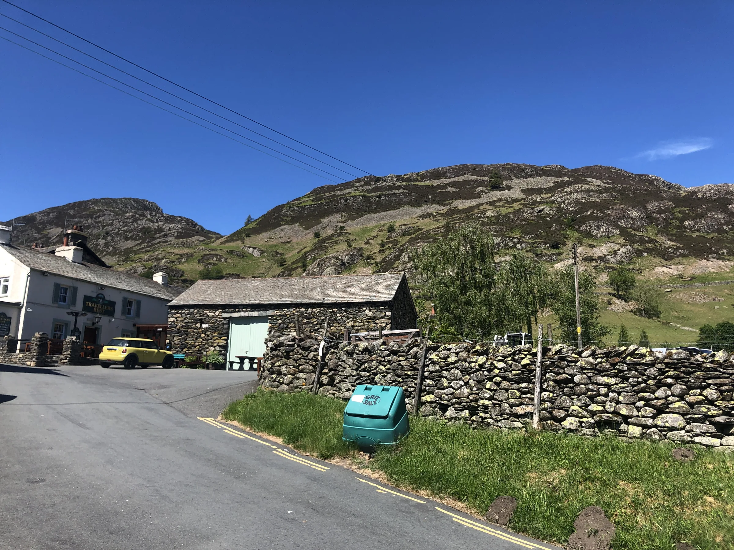
The walk starts from the National Park's Glenridding car park (CA11 0PD), in the middle of the village next to the Ullswater Information Centre. It has 156 spaces, including disabled spaces, and EV chargers. Pay at the machine with coins or card, or with RingGo (location 37316). It costs £6.50 for 2 hours, £7.50 for 3, £8 for 4, £8.50 for 5 or £10 for 24 hours, and as this walk takes 5 to 6 hours, get the 24-hour ticket. There are public toilets, including accessible toilets, in the car park. It fills up early on fine weekends and in the summer. Check the latest prices here.
*Prices correct at time of writing; check before you travel.
Facilities & Hospitality
Right by the car park, with public toilets including accessible toilets. The National Park team can give you Helvellyn hiking tips and sell you maps and guides. It's open every day from 9:30AM to 5:30PM from April to October, and on Saturdays and Sundays from 9:30AM to 3:30PM from November to March.
A few minutes' walk from the car park. Formerly the Glenridding Hotel, it was renamed The Ullswater Inn by the Inn Collection Group after a revamp in 2023. It has 56 rooms with free Wi-Fi and serves food from 7:30AM to 9PM.
Weather
Hike Videos
Note: Videos are made by other walkers, not The Lost Peak. They may not follow this exact route, and paths, conditions and facilities may have changed since filming.
Photo Gallery
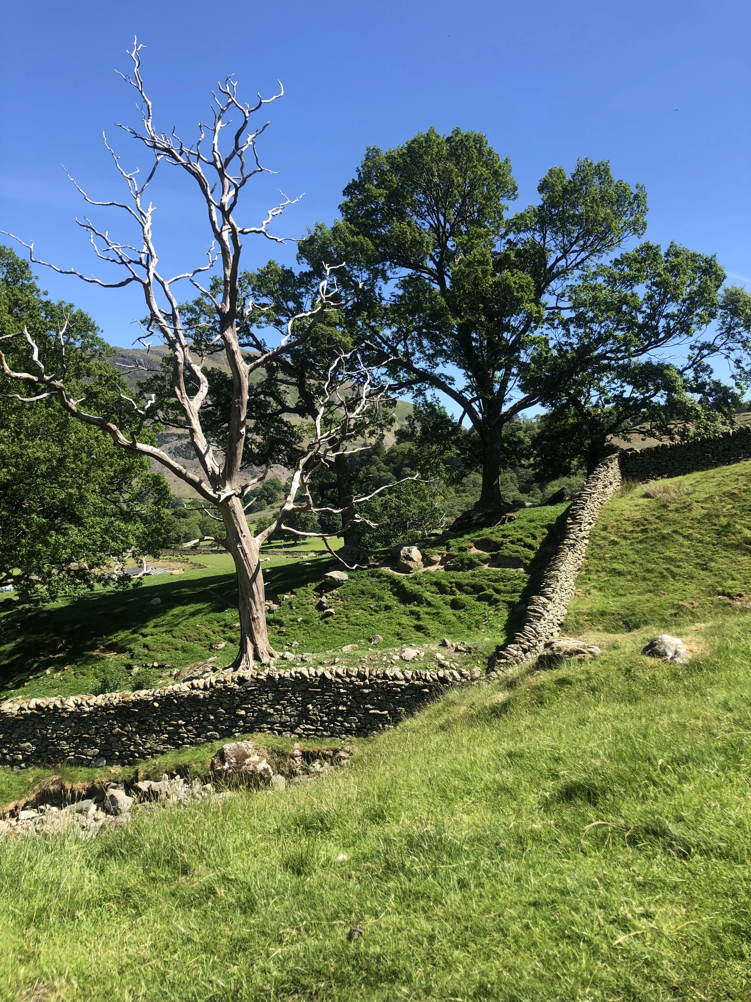
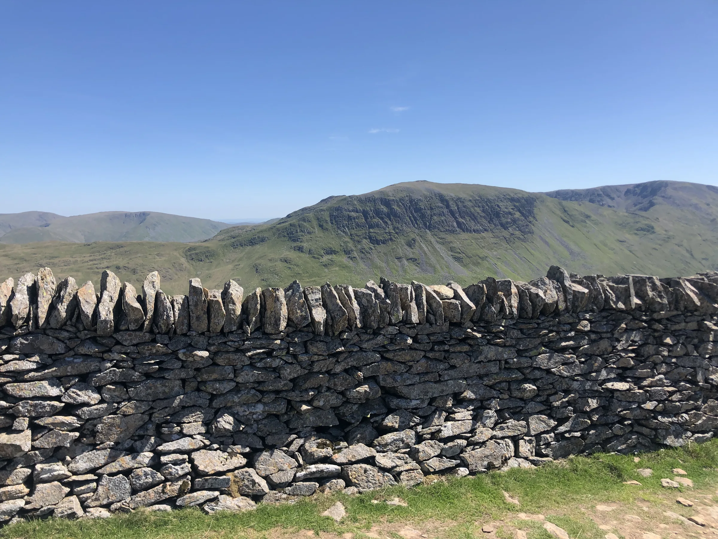
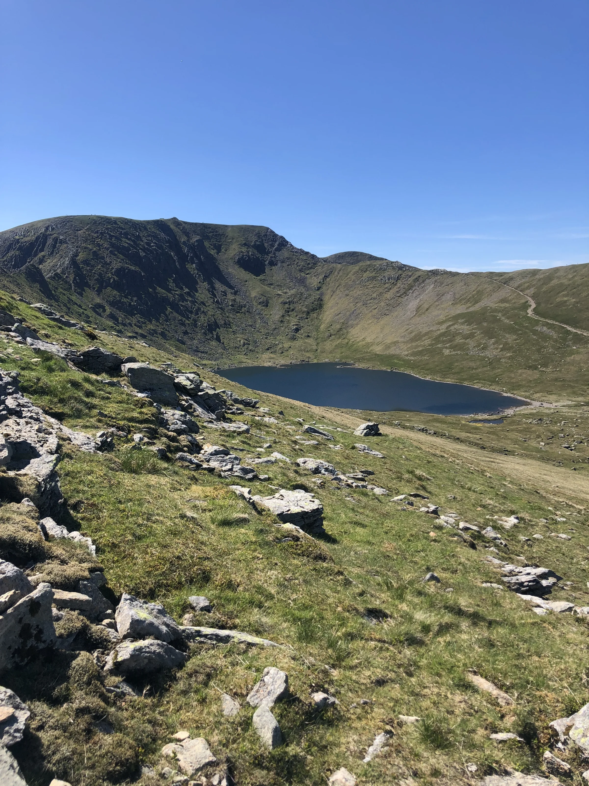
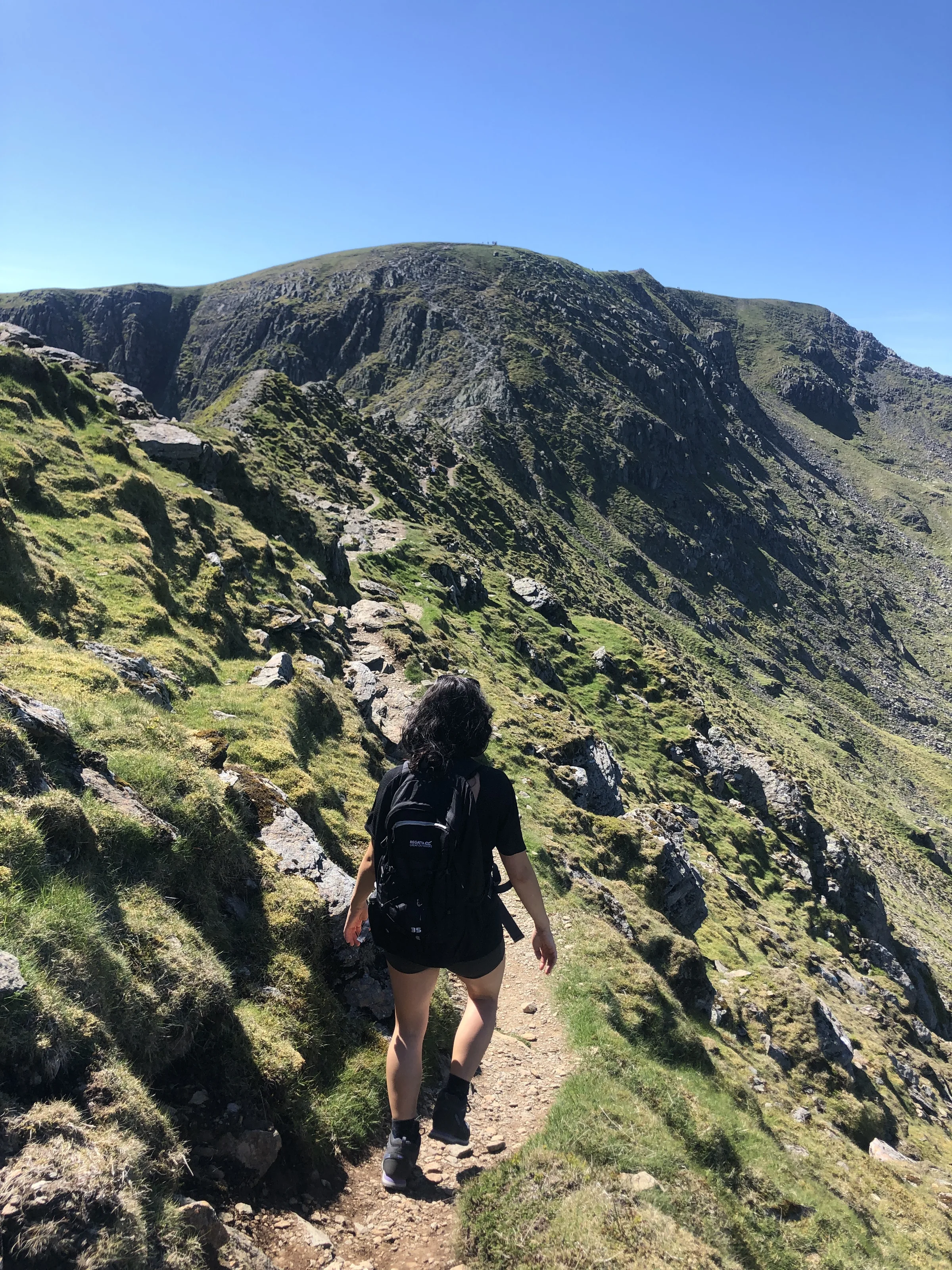
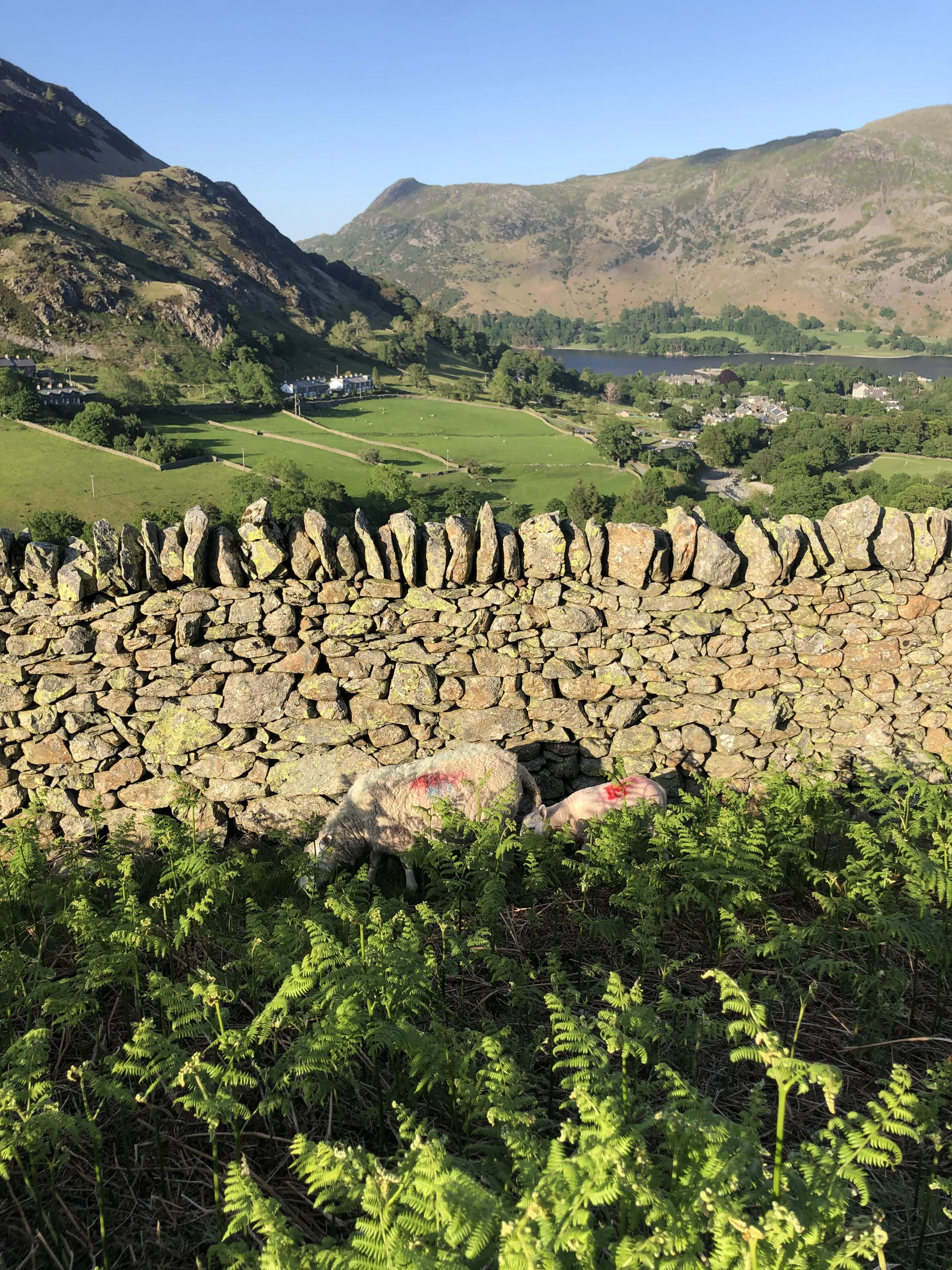
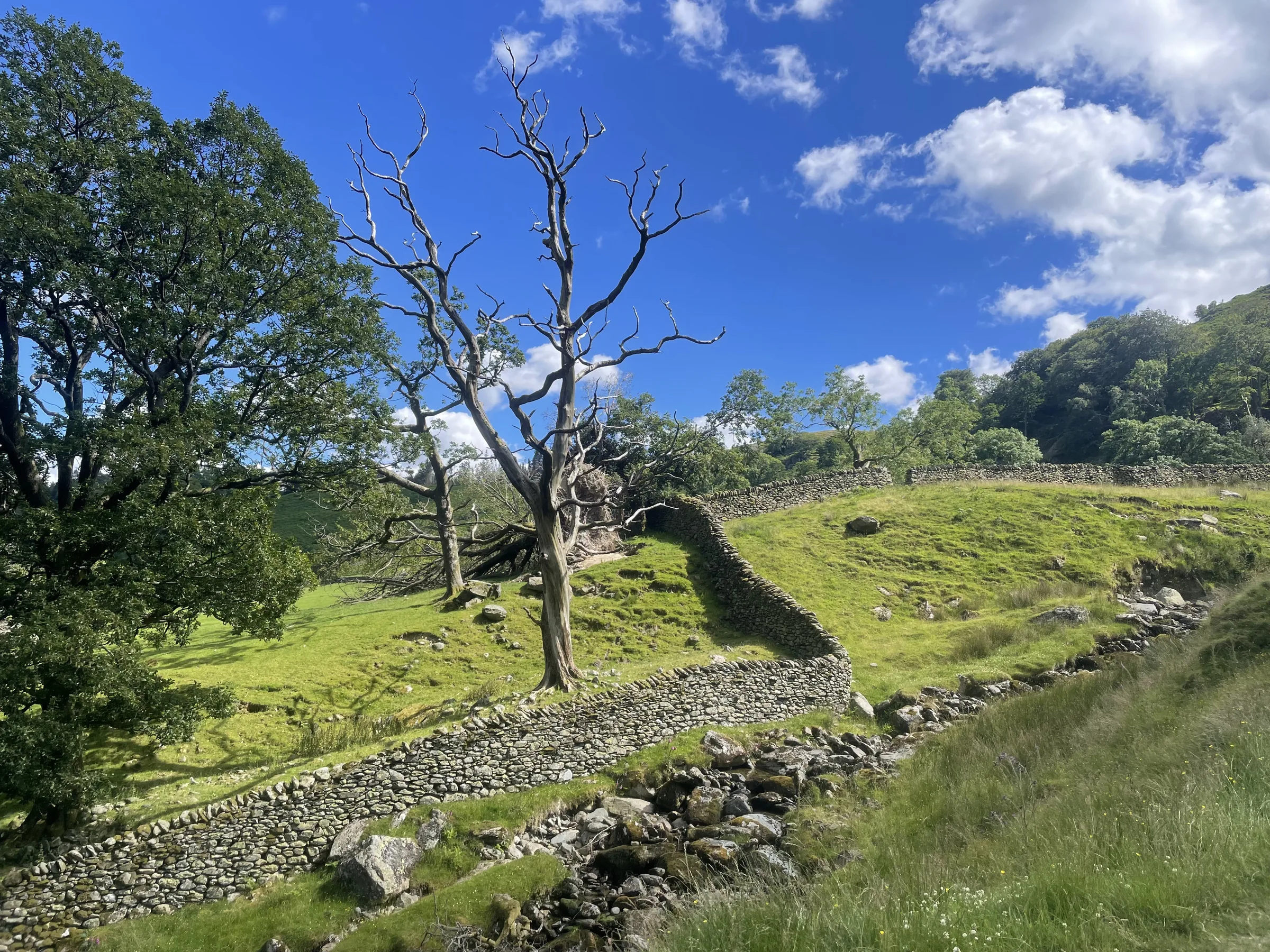
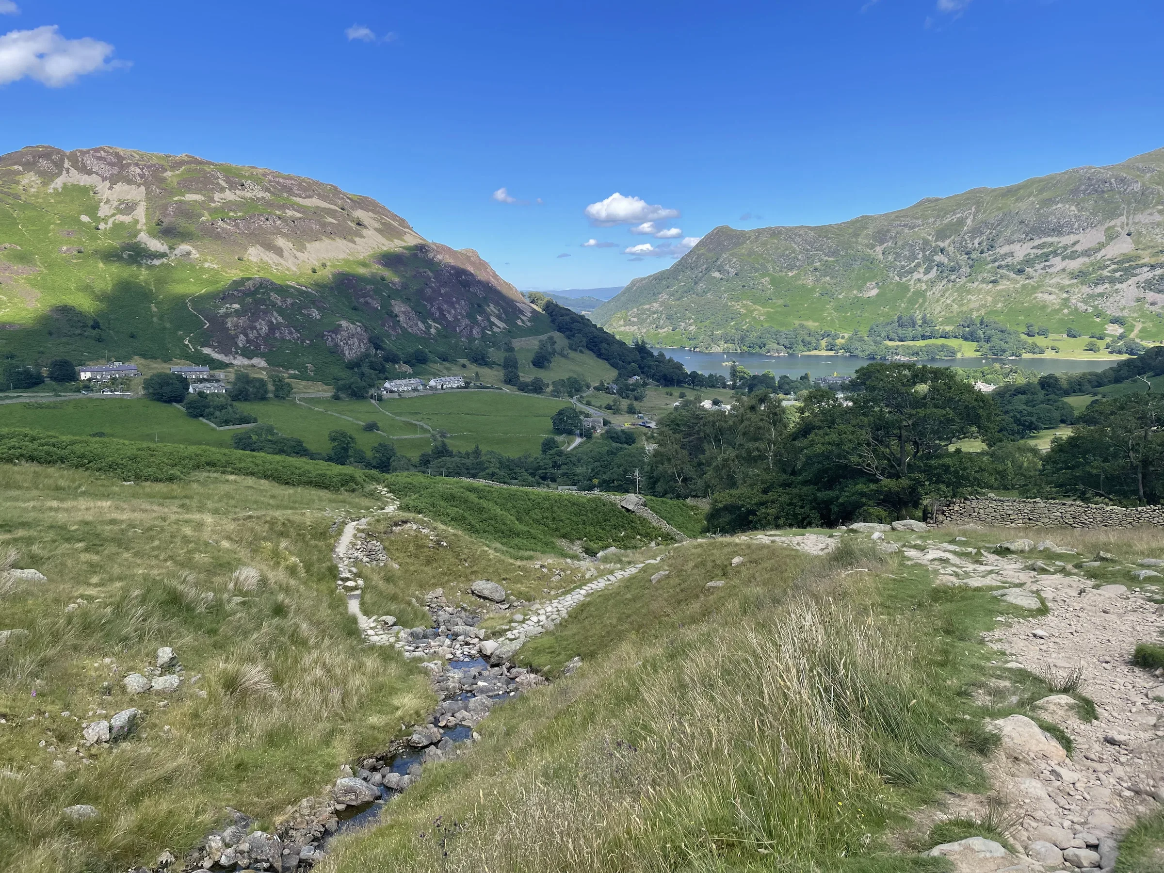
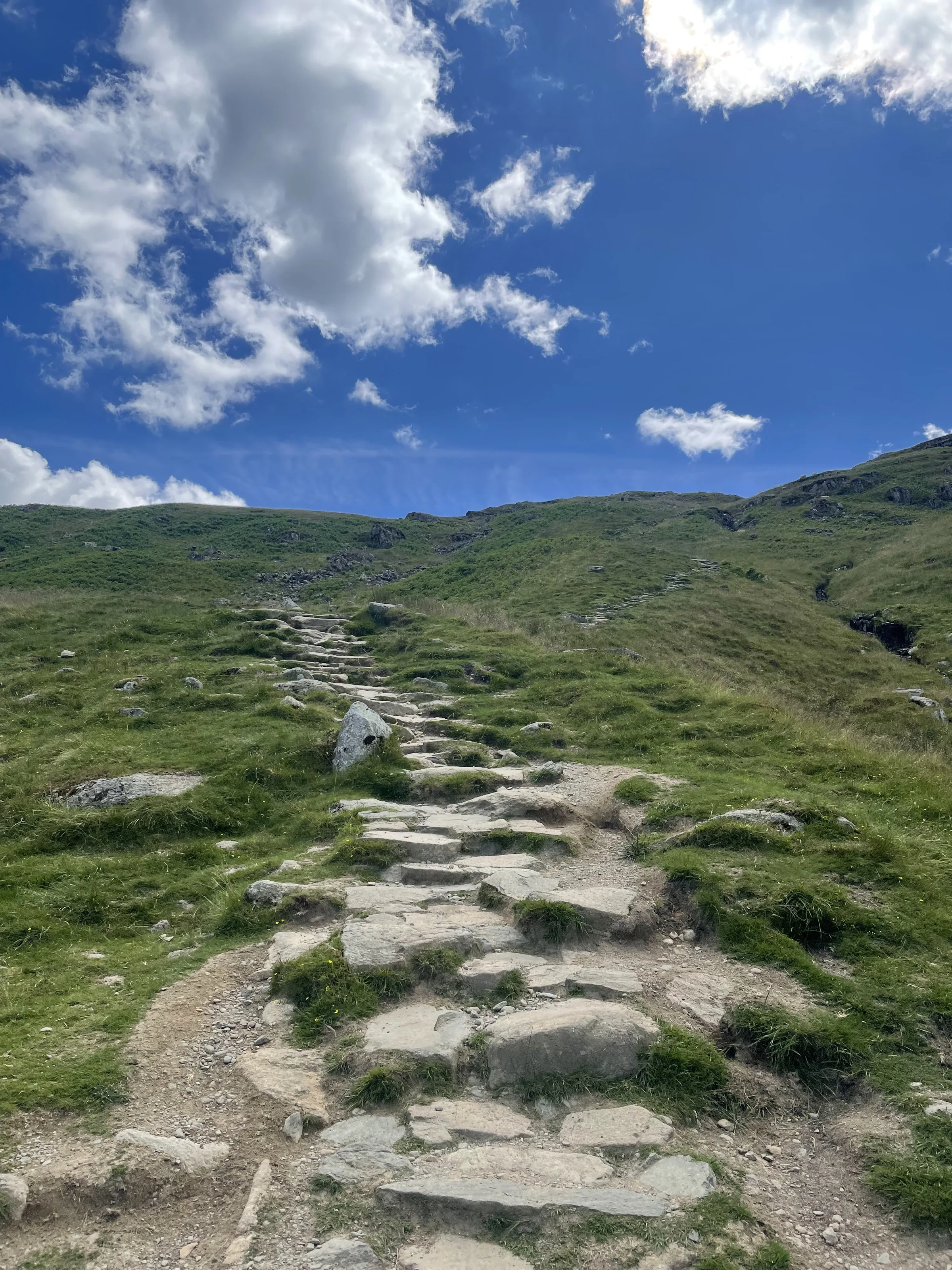
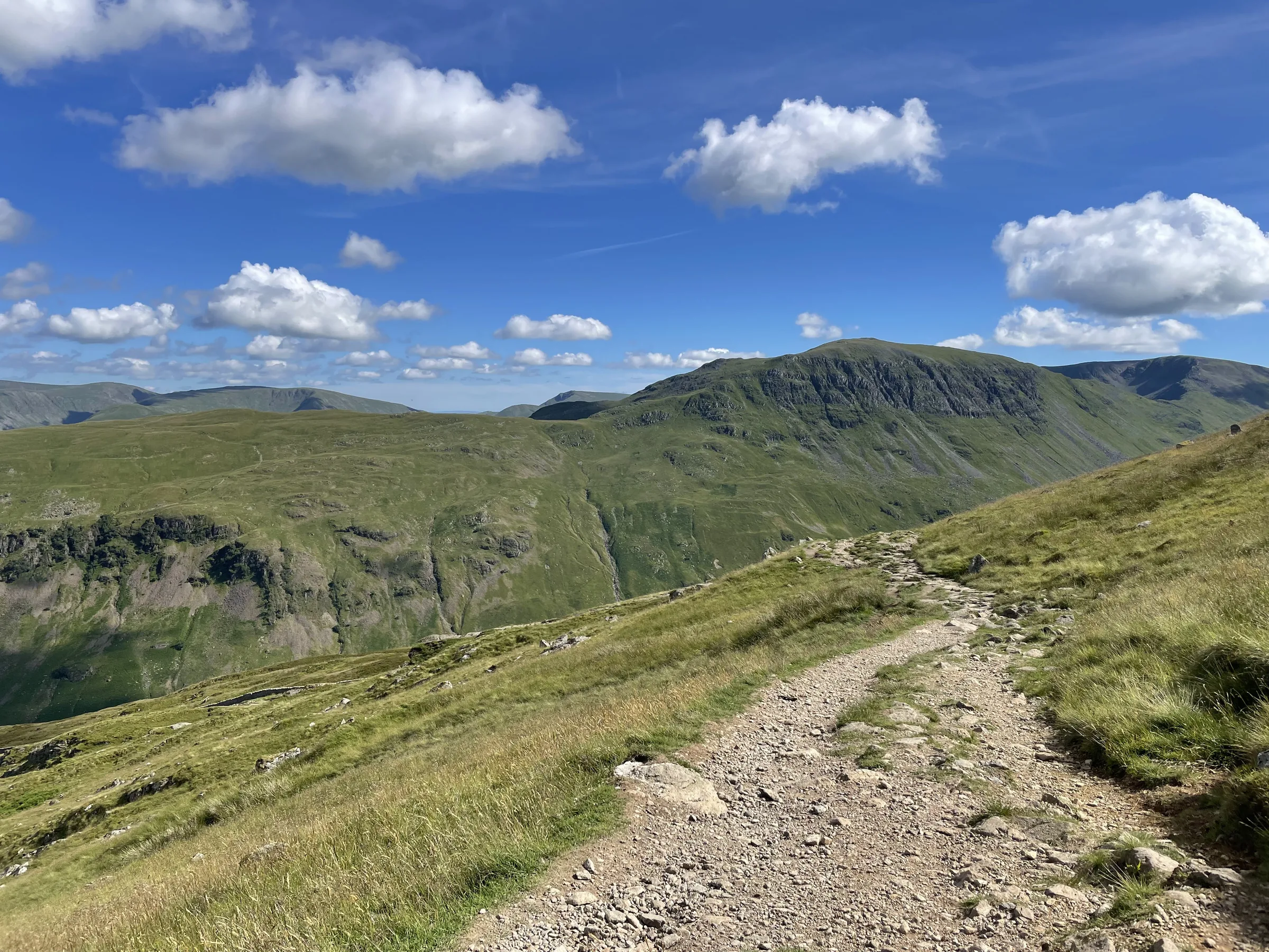
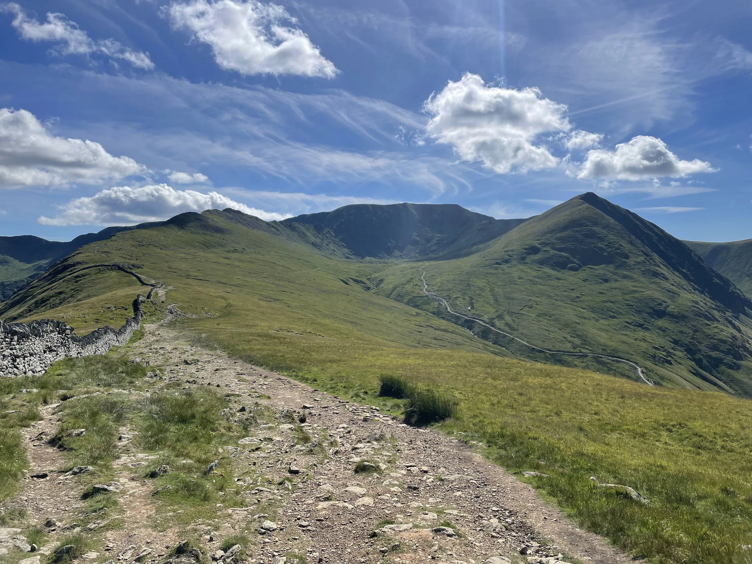
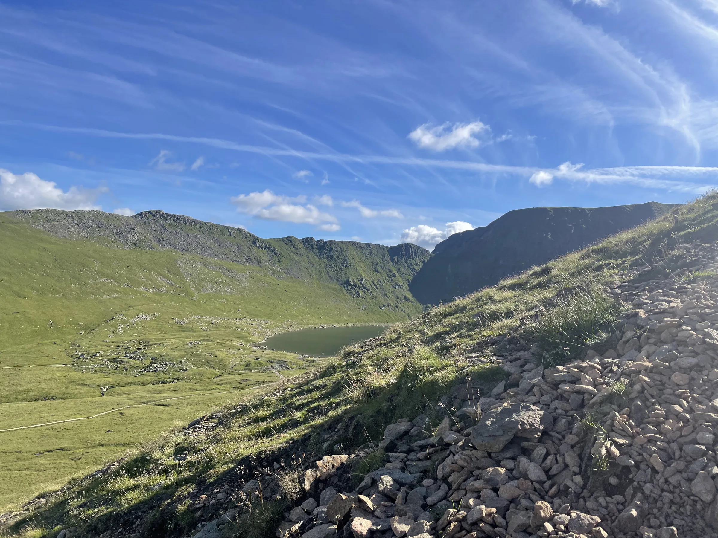
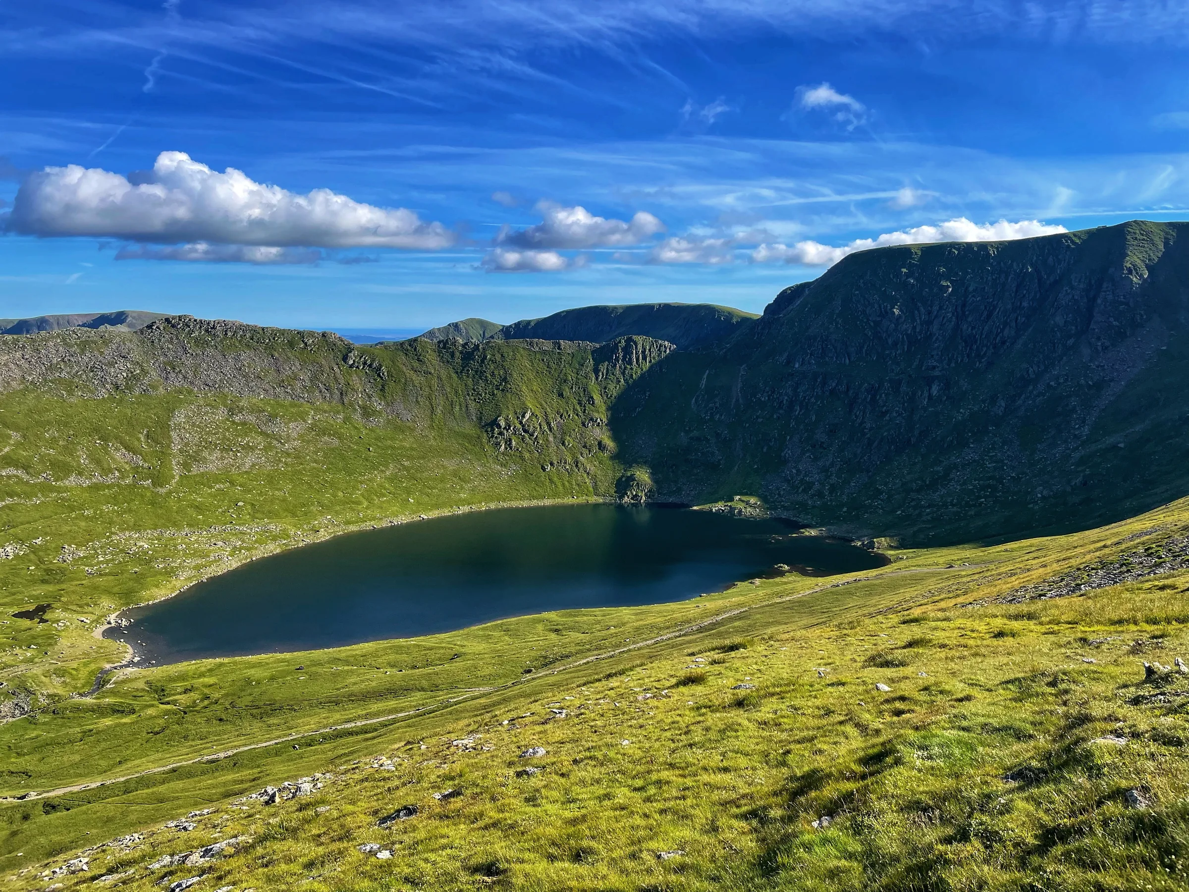
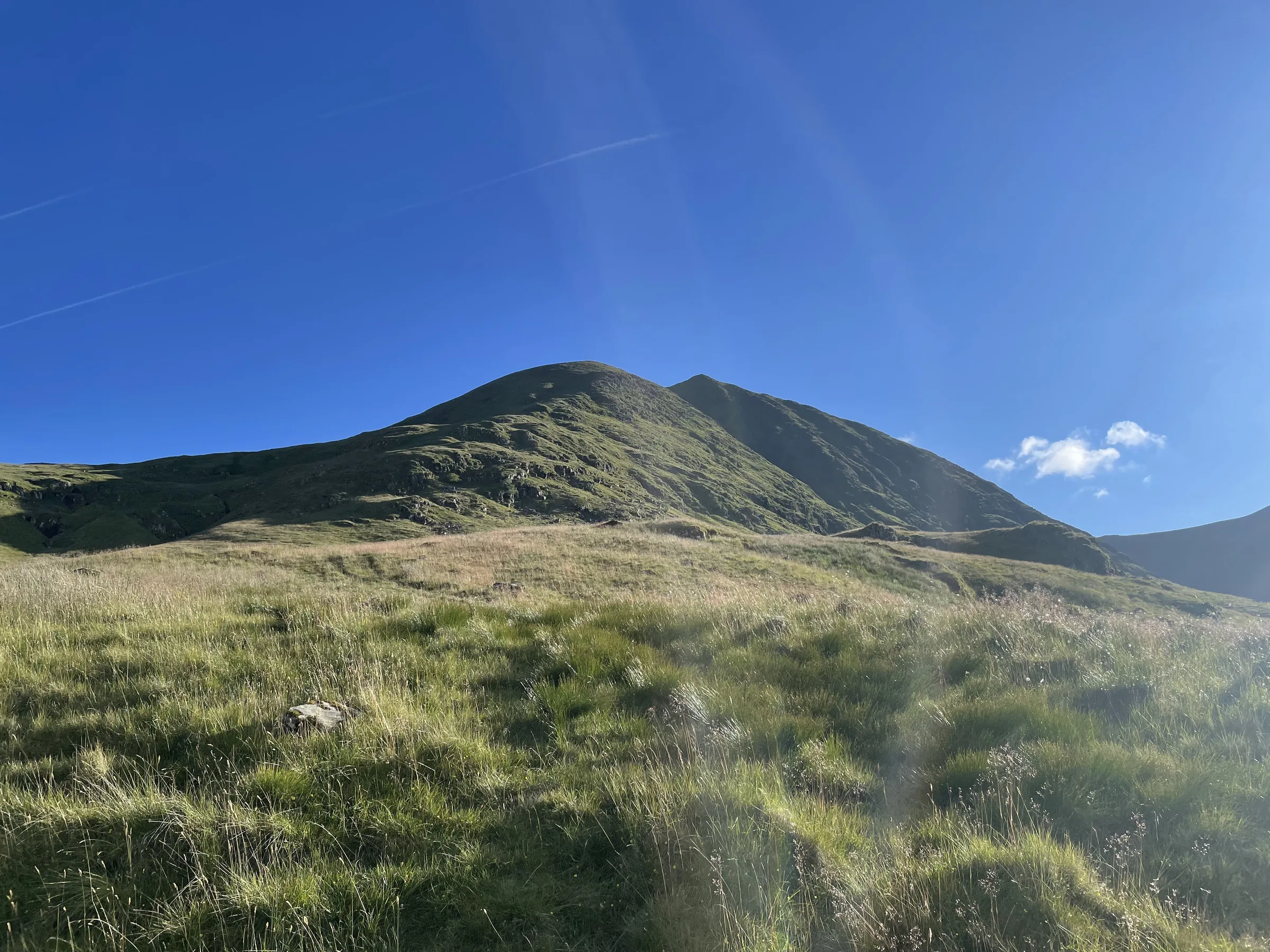
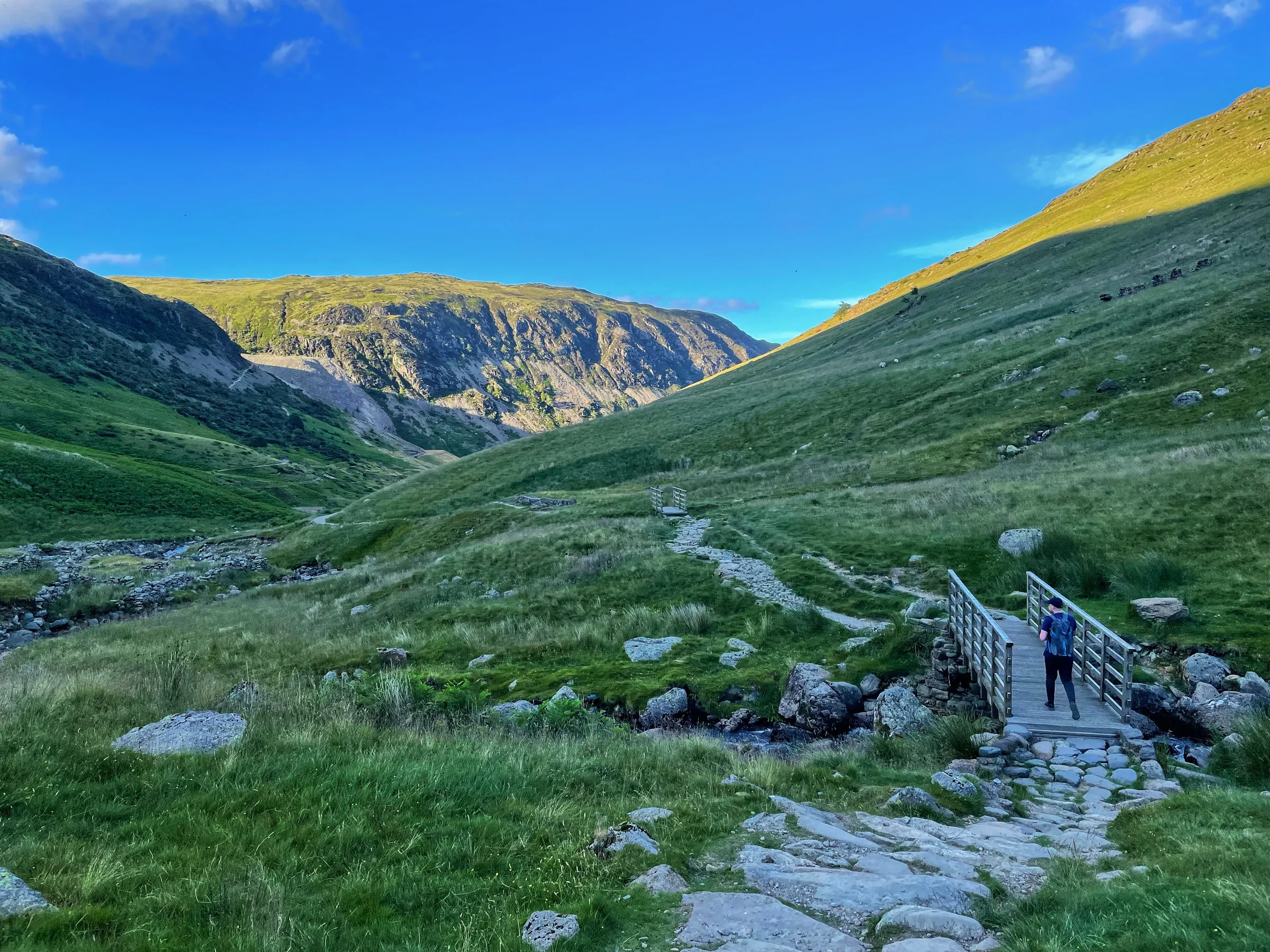
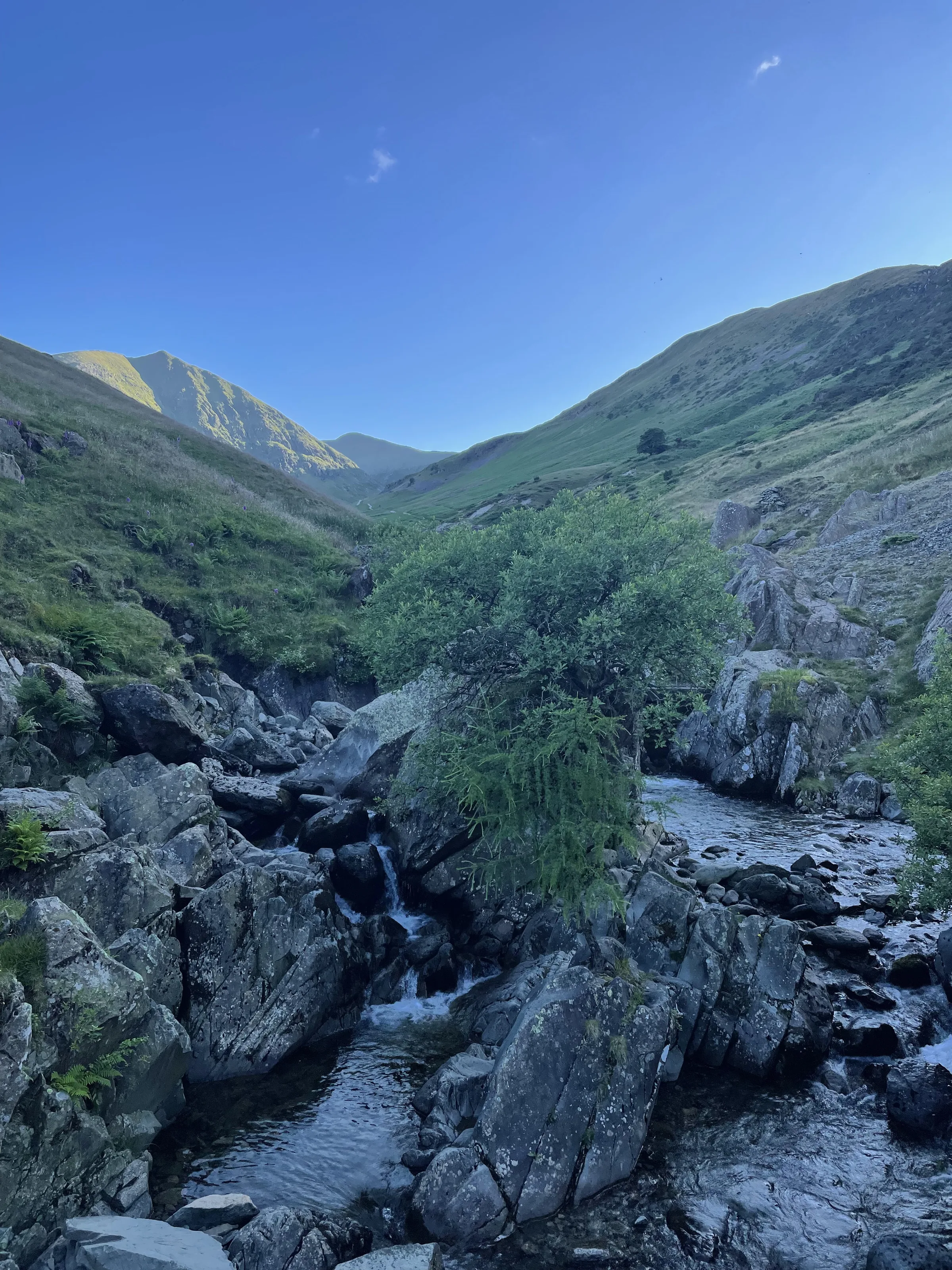
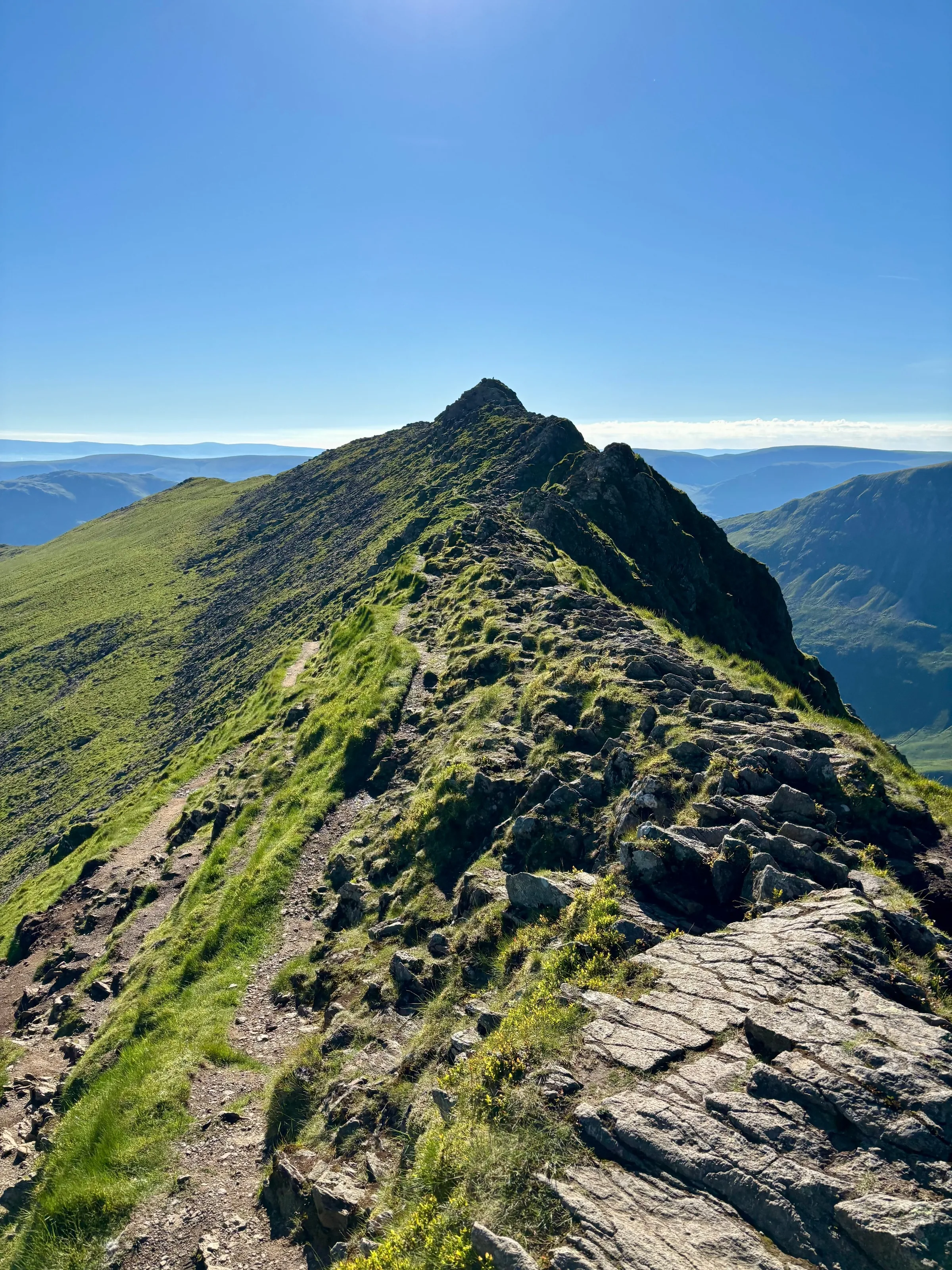
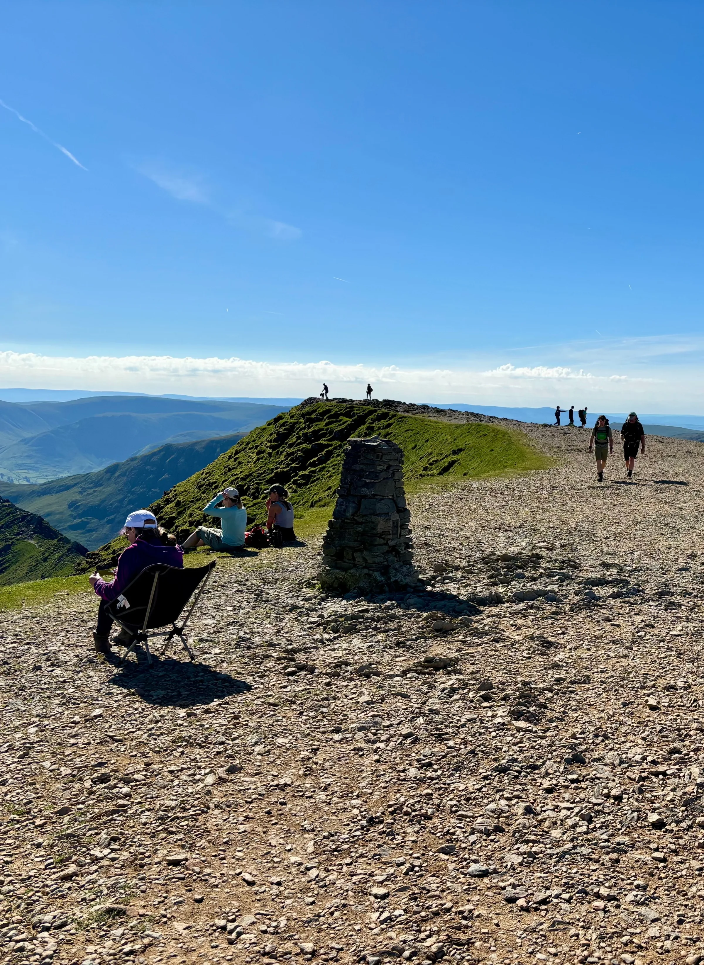
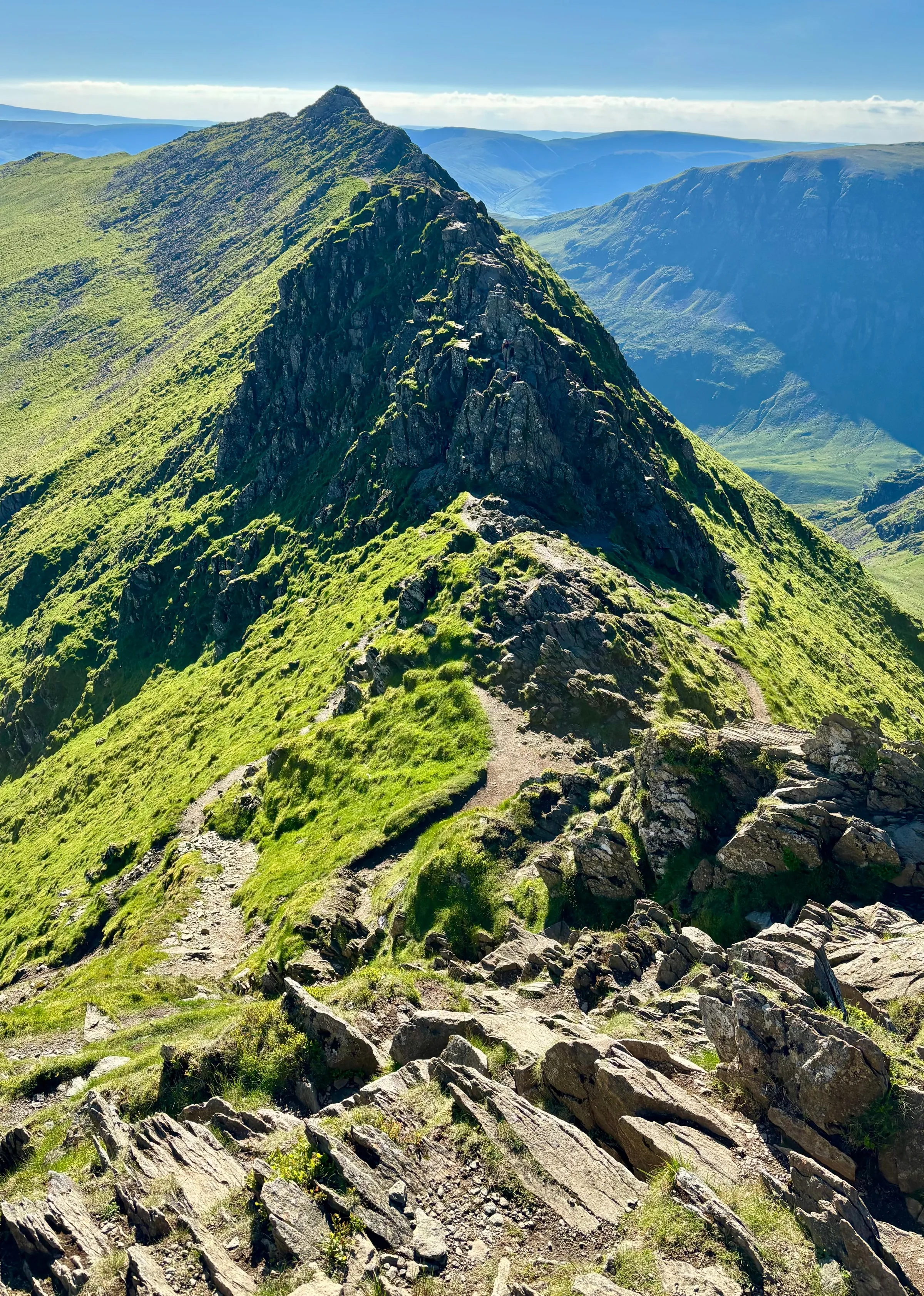
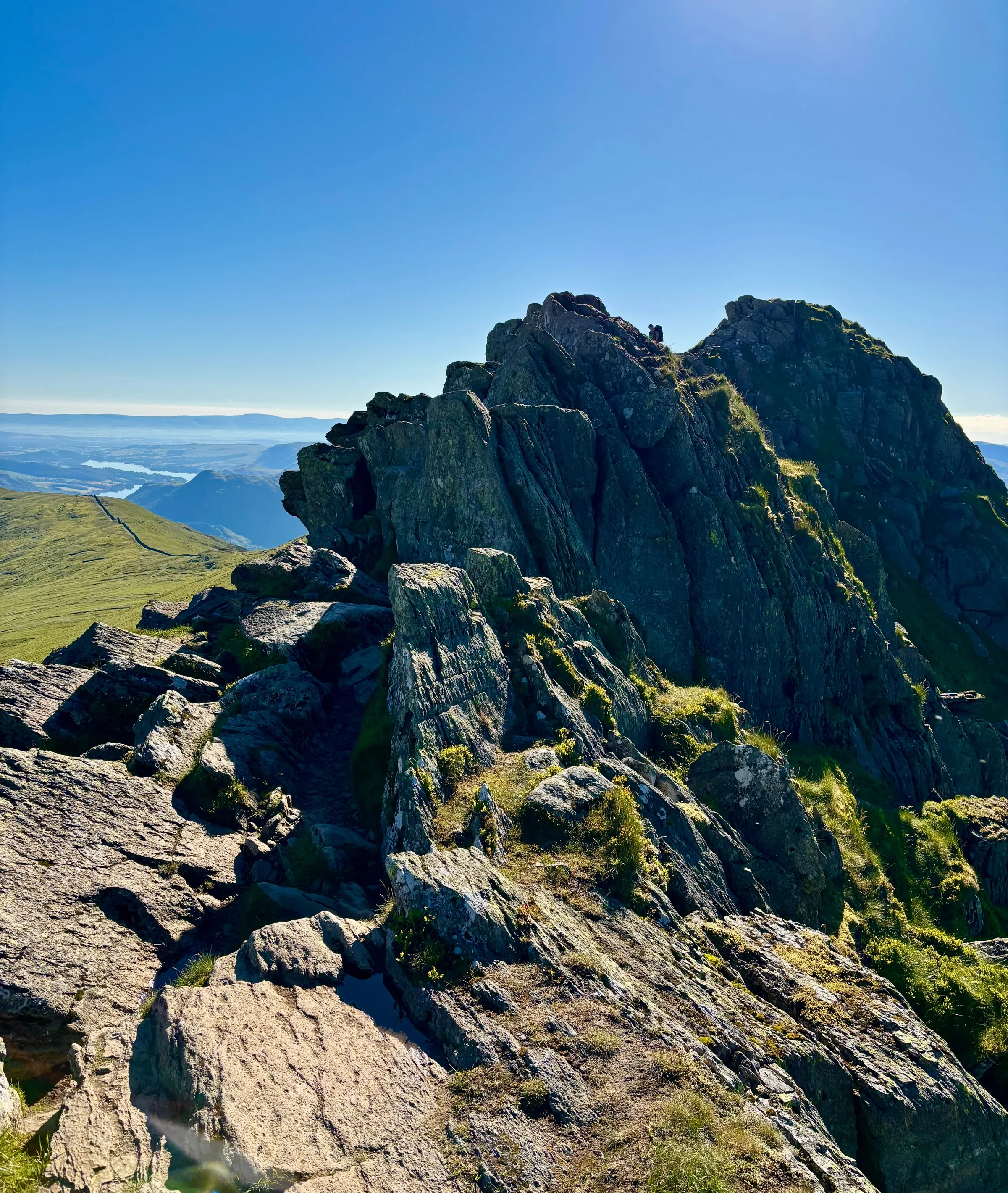
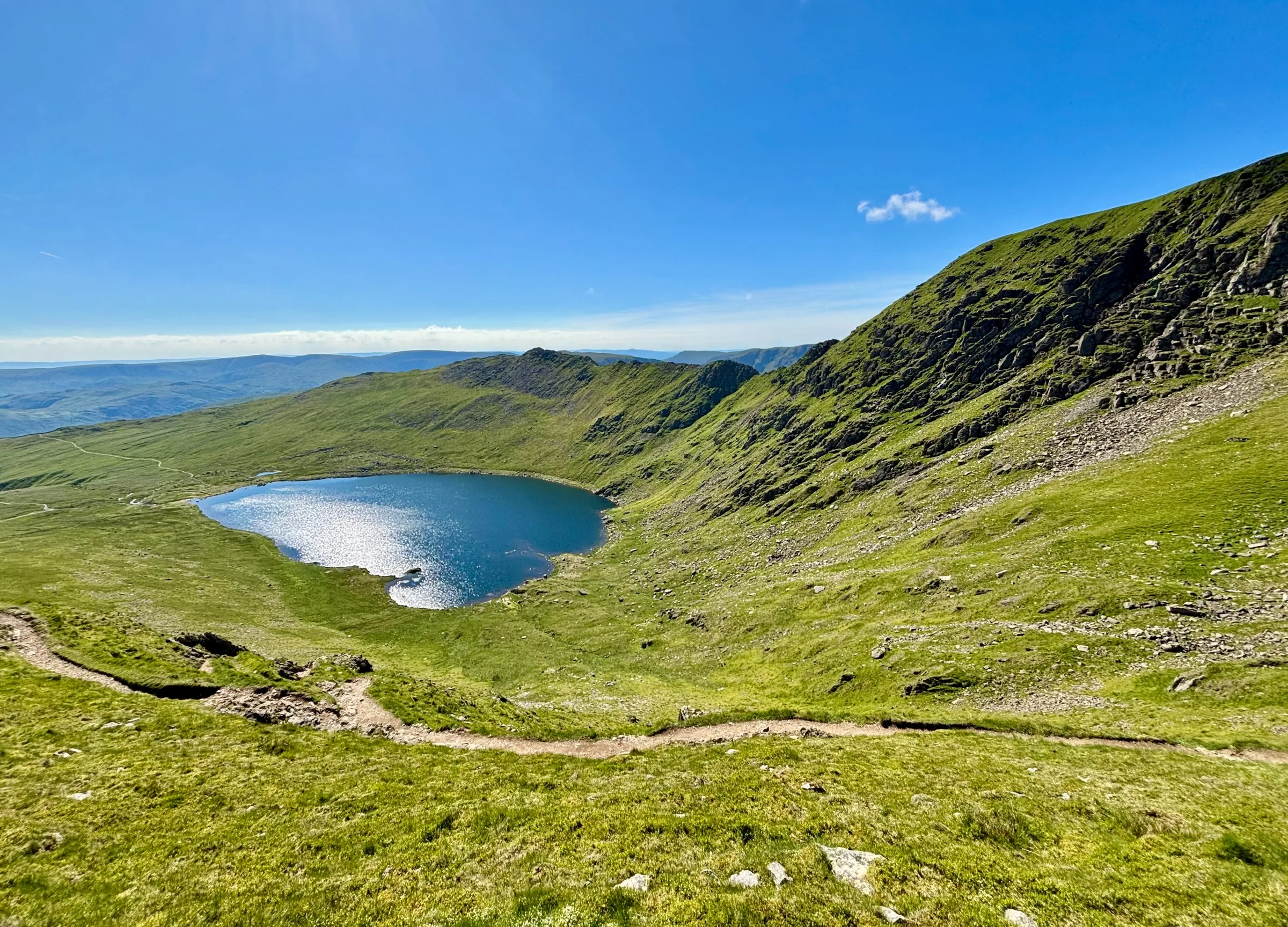
Photos
Photo credits
Photos without a credit are our own. These are used under Creative Commons licences; thank you to the photographers.
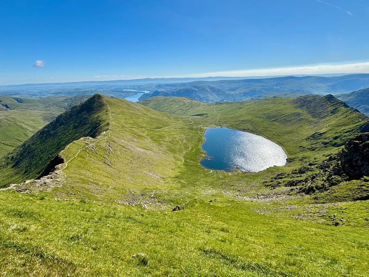 Red Tarn and Catstycam from the summit of HelvellynHero photo · by Iain Lees, Wikimedia Commons (Geograph)Original photoCC BY-SA 2.0 licence
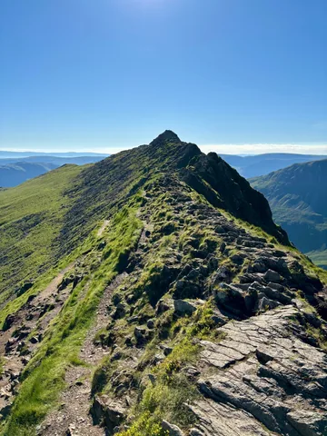 Looking along Striding Edgeby Iain Lees, Wikimedia Commons (Geograph)Original photoCC BY-SA 2.0 licence
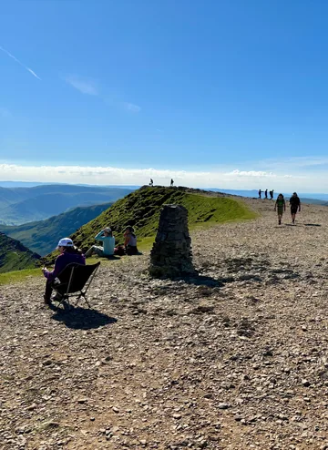
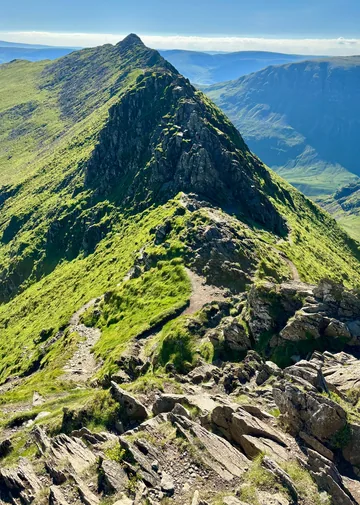 Looking back at the Chimney on Striding Edgeby Iain Lees, Wikimedia Commons (Geograph)Original photoCC BY-SA 2.0 licence
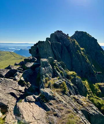 High Spying How from Striding Edgeby Iain Lees, Wikimedia Commons (Geograph)Original photoCC BY-SA 2.0 licence
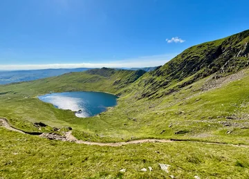 Red Tarn from Swirral Edgeby Iain Lees, Wikimedia Commons (Geograph)Original photoCC BY-SA 2.0 licence
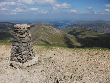 Trig point on the summit of Helvellynby Pat Coyle, Wikimedia Commons (Geograph)Original photoCC BY-SA 2.0 licence
Hints & Tips
Crest or Side Path
You don't have to balance along the very top of Striding Edge. A path runs just below the crest, on the Red Tarn side for most of the way, and it saves you the awkward gully at the far end. The Edge is a notorious accident spot, and three walkers died in falls from it in 2008 alone, so turn back at the Hole-in-the-Wall if it's wet, windy or crowded.
Winter on the Headwall
In winter the steep climb from the end of Striding Edge onto the summit is often the most dangerous part of the walk, with icy ground and a snow cornice at the top. Don't attempt it in snow without an ice axe and crampons and the skill to use them.
Finding Swirral Edge
The summit is a broad, flat plateau about a kilometre long, and in cloud the top of Swirral Edge is easy to miss. It leaves the plateau about halfway between the summit and Lower Man, the lower top to the north-west, so follow the route on your phone and keep the drop to Red Tarn on your right.
Daily Fell Top Reports
From about December to March, Lake District fell top assessors walk up Helvellyn every day to check the snow, ice and walking conditions. Their report and photo go on Weatherline, the Lake District's weather forecast service, so look at it before you set out.
Interesting Facts
General
Third Highest in England
At 949.8m, Helvellyn is the third-highest mountain in England and in the Lake District, after Scafell Pike and Scafell
Pale Yellow Moorland
The name probably comes from old Cumbric words for "pale yellow moorland", perhaps after the pale grasses that cover the range
Rare Fish in Red Tarn
Red Tarn is about 25m deep and holds brown trout and schelly, a whitefish found in only four lakes and tarns in the Lake District
Valley of Bracken
Glenridding means "valley overgrown with bracken" and was first written down as Glenredyn around 1290
The Faithful Dog of Red Tarn
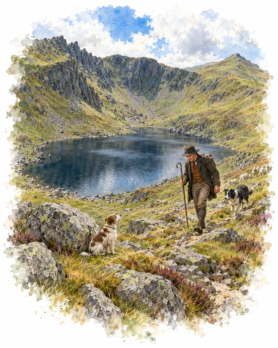
In April 1805 Charles Gough, a young artist from Manchester, was visiting the Lake District. On 17 April he set out to walk over Helvellyn to Grasmere with his dog, Foxie, by way of Striding Edge. He had been due to go with a local guide, but the man was busy on parade with the militia that day. Gough was never seen alive again.
Three months later, on 27 July, a shepherd heard a dog barking near Red Tarn. He found Foxie still beside her master's remains. Gough's fishing tackle, gold watch and two Claude glasses were recovered, along with his hat, split in two, which suggested he had fallen from Striding Edge. Foxie had also given birth to a puppy, which died soon afterwards.
The story of the dog that would not leave her master made Gough a hero of the Romantic age. Wordsworth wrote about it in his poem "Fidelity", Walter Scott in "Helvellyn", and Wordsworth brought Scott and the chemist Humphry Davy to see the spot. Edwin Landseer painted the scene as Attachment, shown at the Royal Academy in 1830. Gough was buried in the Quaker graveyard at Tirril near Penrith, and in 1890 a memorial stone quoting "Fidelity" was put up on Helvellyn.
A Plane on the Summit
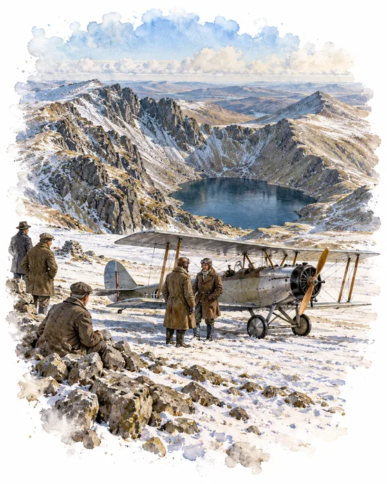
On 22 December 1926 a small aeroplane landed on top of Helvellyn. It was an Avro 585 Gosport, a two-seater biplane, flown by Bert Hinkler, an Australian test pilot for A V Roe at Woodford Aerodrome near Manchester, with John Leeming of the Lancashire Aero Club. A ground party had cleared and marked a landing strip on the summit plateau, and two earlier attempts, on 15 and 21 December, had been called off.
Landing was the easy part: with a steep slope and a strong headwind, the plane stopped quickly. Professor E. R. Dodds, a classical scholar, saw it land. Taking off uphill was much harder. The plane went over the edge of the summit without enough speed, dived to pick it up, narrowly missed Striding Edge and flew back to Manchester.
A slate tablet a short way south of the summit shelter marks the spot as the first place an aeroplane landed on a mountain in Great Britain. Hinkler went on to make the first solo flight from England to Australia in February 1928, and Leeming led the campaign for Manchester to build the UK's first municipal aerodrome.
More Hikes
 ModerateCatbells3.6 mi · 2–3 hrs · 404m
 HardSkiddaw6.5 mi · 4–5 hrs · 870m
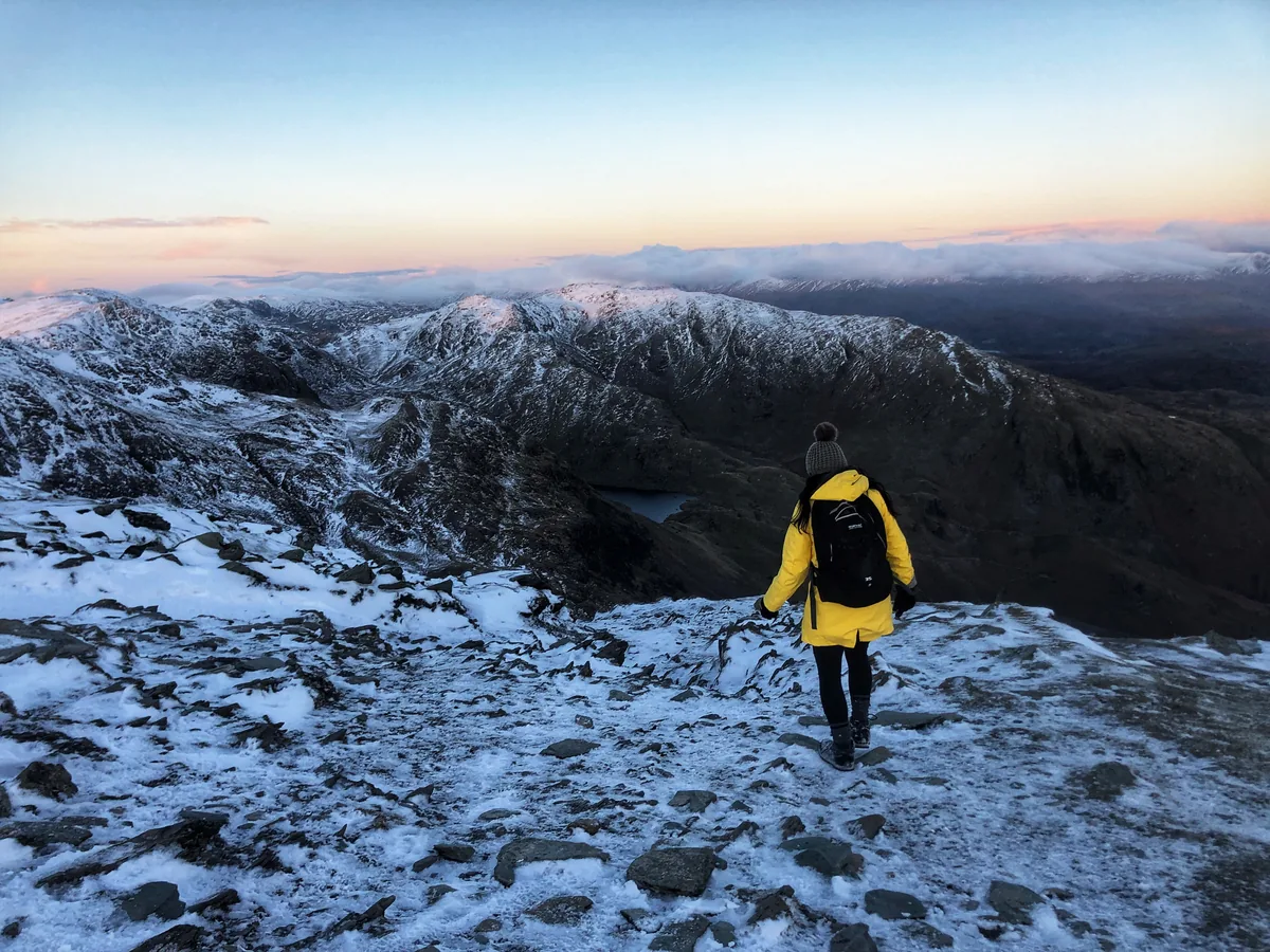 HardOld Man of Coniston4.9 mi · 3–4 hrs · 585m
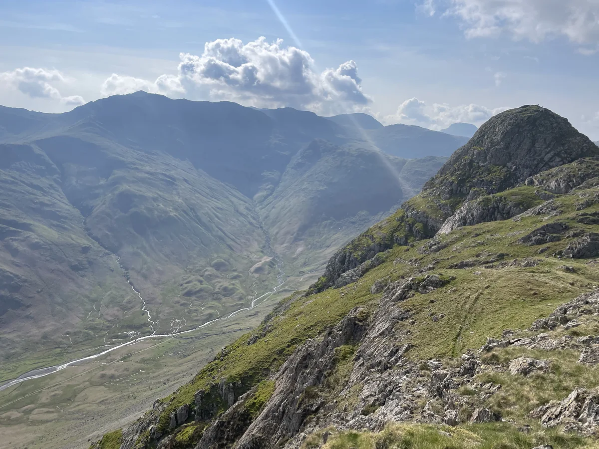 HardPike of Stickle4.1 mi · 3–4 hrs · 710m
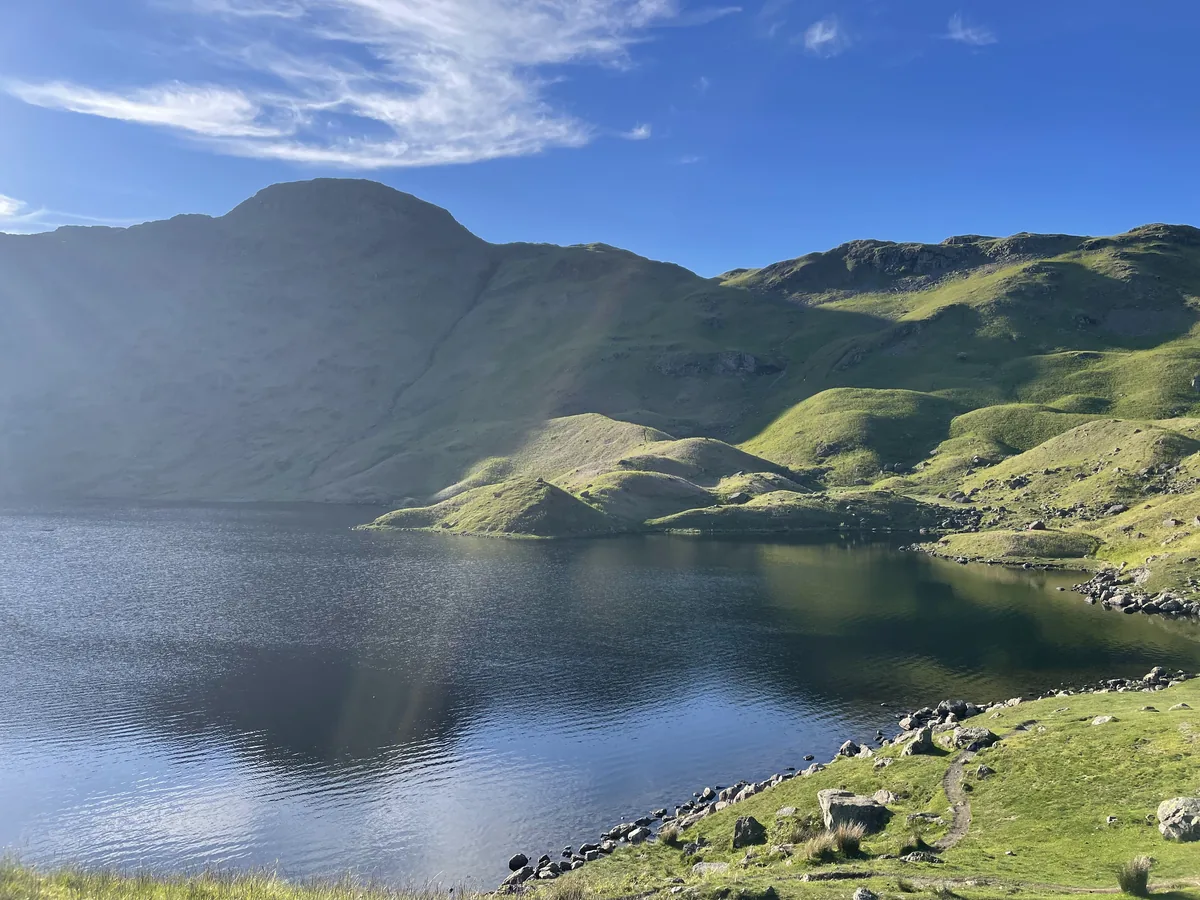 ModerateEasedale Tarn6.9 mi · 4–4½ hrs · 600m
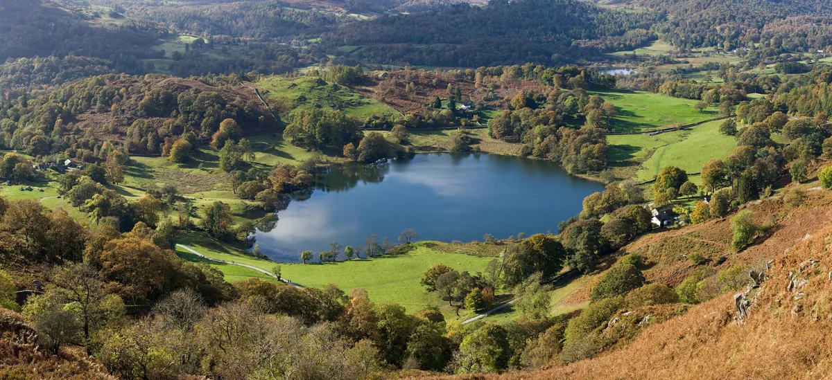 EasyLoughrigg Fell3.0 mi · 2–2½ hrs · 326m
Subscribe for updates on new hikes and National Parks
One email a month with new hikes and routes. No spam.