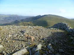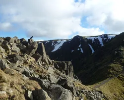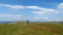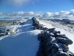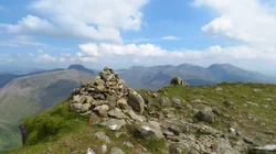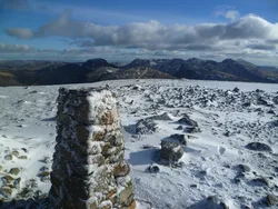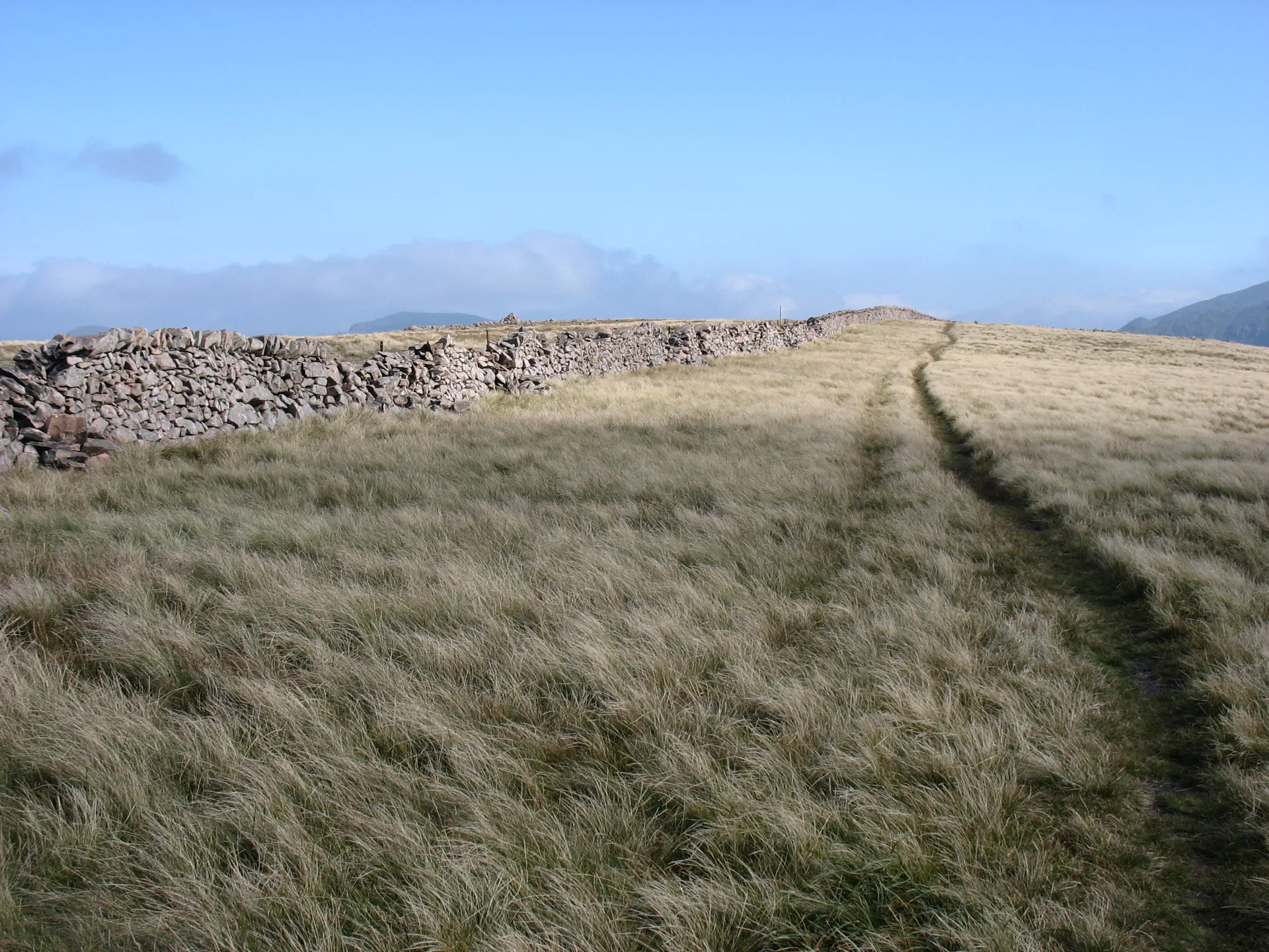


Caw Fell is a broad, remote upland at the western end of the ridge from Haycock, a long way from any road. The top is a patch of rock beside a cairn, close to the big dry-stone Ennerdale wall that runs over the fell. In Silver Cove and below Iron Crag, haematite was dug in the 19th century, and the moors to the south-west hold prehistoric cairns and hut circles. From the summit you see much of the Western Fells and the Scafells.
New to the Wainwrights?Read our guide: What Are The Wainwrights?Rock 13 m east of cairn
Granophyre granite and andesite lavas under grass and heather, with craggy coves to the north.
NuttallBirkettSyngeFellranger
Summit Weather
Our Route
Also on this route: Haycock, Lank Rigg, Crag Fell, Grike
Safety: Routes are a guide only. Carry a map and compass and know how to use them, check the weather before you go, and turn back if in doubt. You use this route at your own risk.