



Contents
Overview
From the south, Great End looks like little more than the last bump on the Scafell ridge. From the north it is a different hill: a dark wall of crags split by deep gullies, facing away from the sun so that snow often lingers in them well into spring. At 909.5m it is the highest point of this walk, only just ahead of Bowfell (902.9m), the pyramid at the head of Great Langdale that Wainwright counted among his best half dozen fells. Between the two lie Esk Pike, Allen Crags and Esk Hause, the high crossroads where paths from four valleys meet.
This big loop leaves Great Langdale along the valley floor, past the Old Dungeon Ghyll Hotel and up the flat valley of Mickleden, then climbs the stone-pitched path up Rossett Gill, with a short detour to the top of Rossett Pike. You drop past Angle Tarn and climb to Esk Hause, with out-and-back trips to the summits of Allen Crags and Great End. Back at the Hause, a rough climb takes you over Esk Pike, down to Ore Gap and up over Bowfell's North Top to the summit. From there you drop to Three Tarns and follow The Band, Bowfell's long east ridge, down to Stool End Farm and back along the valley to the start. This walk takes in five Wainwrights: Great End, Bowfell, Esk Pike, Allen Crags and Rossett Pike. Find all 214 on our Wainwrights map.
Go prepared, stay safe,
and enjoy the hike!
Key Info
Crowds
Moderate
Great Langdale gets very busy in high summer, and Bowfell is one of the most popular fells in the Lake District. This long route spreads people out, but the Rossett Gill path can be busy with walkers heading for Scafell Pike or doing the Cumbria Way. The car parks are the first hurdle on fine summer days.
When it gets busy
- July and August, when Langdale sees its biggest crowds
- Fine weekends and bank holidays, when the valley car parks can be completely full by about 10AM
- The path up Rossett Gill, shared with walkers heading for Scafell Pike and the Cumbria Way
- The Band, the most popular way up and down Bowfell
For a quieter walk
- Go in May, June, September or October, outside the main summer crowds
- Arrive before 9AM in peak season to get a space, or use the New Dungeon Ghyll car park across the road
- Take the 516 bus from Ambleside to avoid the car parks altogether
- Pick a weekday: walkers report Langdale far less busy midweek in autumn
- Linger at Angle Tarn and out on Great End, which see fewer people than Bowfell and The Band (general advice)
Our crowd rating is for a typical sunny weekend in spring or summer, in the middle of the day. Timing makes a big difference, so even a busy walk can be quiet early, late or midweek.
The Route
Disclaimer: Route information and GPX files are provided for general guidance only. Conditions can change, so always use your own judgement and navigate responsibly. See our Terms of Use & Disclaimer for more information.
Route Guide
- 1
West to the Old Dungeon Ghyll1.2 mi · 40m up · 20m downFrom the car park, follow the path west along the valley floor. After about 0.6 miles you pass the Old Dungeon Ghyll Hotel, and the path carries on into Mickleden, the flat valley below the Langdale Pikes.
- 2
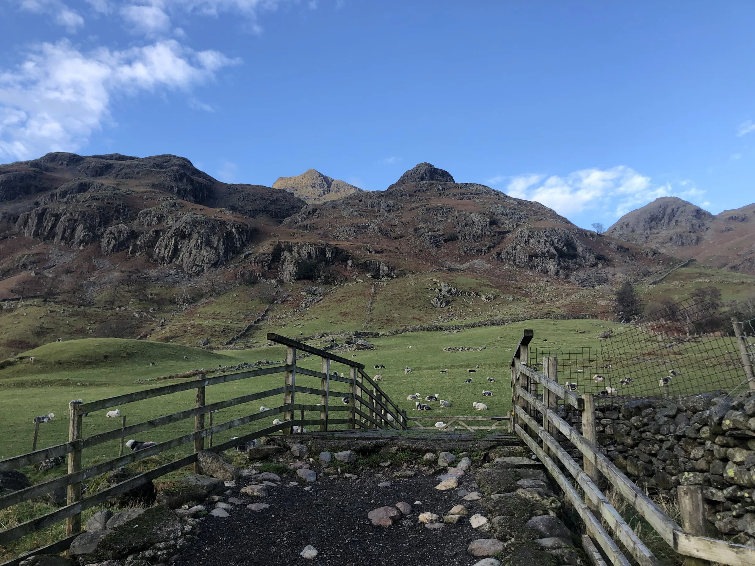
Up Mickleden1.2 mi · 55m up · 5m downAn easy, almost level track runs up Mickleden for over a mile, with Pike of Stickle above you on the right. At the head of the valley the Stake Pass path goes off to the right: keep left and head west for Rossett Gill.
- 3
Rossett Gill and Rossett Pike1.5 mi · 455m up · 20m downThis is the big climb of the day: the stone-pitched path gains over 400m in about a mile and a quarter to the top of the Rossett Pass, at about 610m. Here a short path heads east along the ridge to the summit cairn of Rossett Pike. Come back the same way to the top of the pass.
- 4
Angle Tarn and Allen Crags1.6 mi · 265m up · 115m downThe path drops to Angle Tarn, then climbs west to the stone shelter at the lower crossing of Esk Hause. Turn right here and climb north-east to the top of Allen Crags, then come back down and head south-west up to the true top of Esk Hause.
- 5
Out to Great End1.5 mi · 145m up · 150m downFrom Esk Hause, take the Scafell Pike path west up the slope, then turn right (north) for the summit of Great End, which sits right above the gullies of its north face. Return the same way to Esk Hause.
- 6
Esk Pike, Ore Gap and Bowfell1.5 mi · 230m up · 110m downA rough, stony climb leads south-east to the pale rocks on top of Esk Pike. Drop to the red earth of Ore Gap, then climb over Bowfell North Top and along the summit ridge to the top of Bowfell.
- 7
Three Tarns and The Band3.6 mi · 10m up · 795m downA steep, rocky descent takes you south to the pools at Three Tarns. Turn left and follow The Band east, a long, steady ridge that drops all the way to Stool End Farm, then walk back along the valley floor to the car park.
Use the route on OS Maps, AllTrails or Komoot to navigate on the day; this guide is for planning.
Parking
The walk starts from the National Trust's Stickle Ghyll car park (LA22 9JU) in Great Langdale, right next to Lanty Slee's pub at the foot of the ghyll. It has around 50 spaces and is pay and display, and as this walk takes 7 to 8 hours you'll want an all-day ticket. National Trust members park free by scanning their card at the machine. There's little or no phone signal in the valley, so download the JustPark app and set it up before you go (location 80604), or bring cash for the machine. There are public toilets at the top of the car park. It fills up early on fine weekends and in the holidays, and there's no overnight parking. Check the latest prices here.
Alternative Parking
Facilities & Hospitality
Public toilets in the block at the top of the National Trust car park, right at the start of the walk. There are none on the fells, so go before you set off.
The old Sticklebarn, next to the car park, now run by the Lanty Slee Liquor Company and named after Langdale's famous moonshiner. Cakes, local ales, their own spirits and hearty food, with a big terrace looking up at the Pikes. Dogs are welcome and there's Wi-Fi.
A Victorian hotel a minute's walk from the car park, with 22 rooms and free Wi-Fi in some public areas. Its Walkers Bar serves food and drinks from breakfast until the evening, has a beer garden, and dogs are welcome in the bar.
The climbers' inn at the head of the valley, which this walk passes on the way out. Its Hikers' Bar, once the cow stalls, serves food from noon and real ales from Cumbrian breweries. There are 12 rooms, and free Wi-Fi in the public areas.
Weather
Hike Videos
Note: Videos are made by other walkers, not The Lost Peak. They may not follow this exact route, and paths, conditions and facilities may have changed since filming.
Photo Gallery
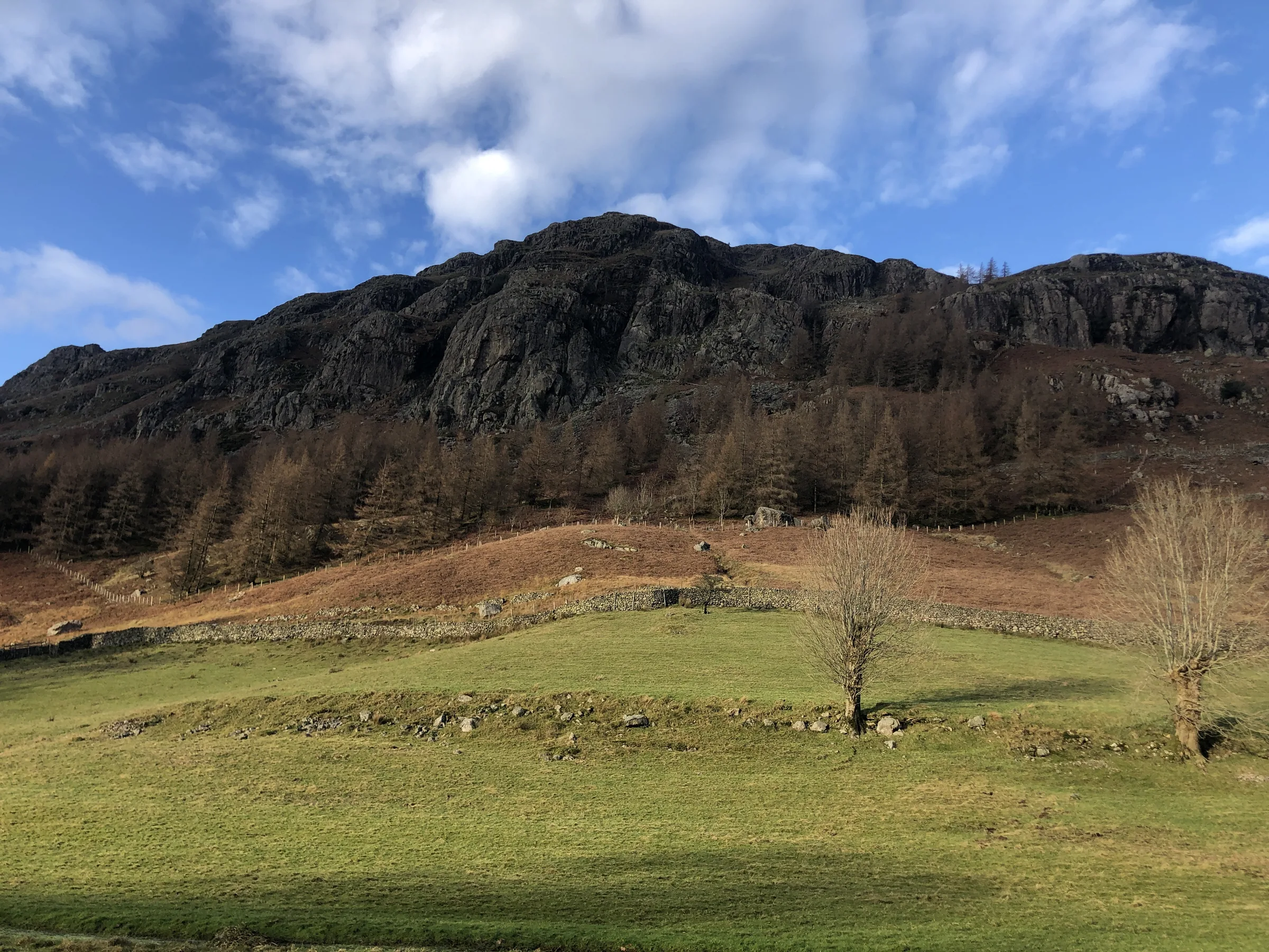
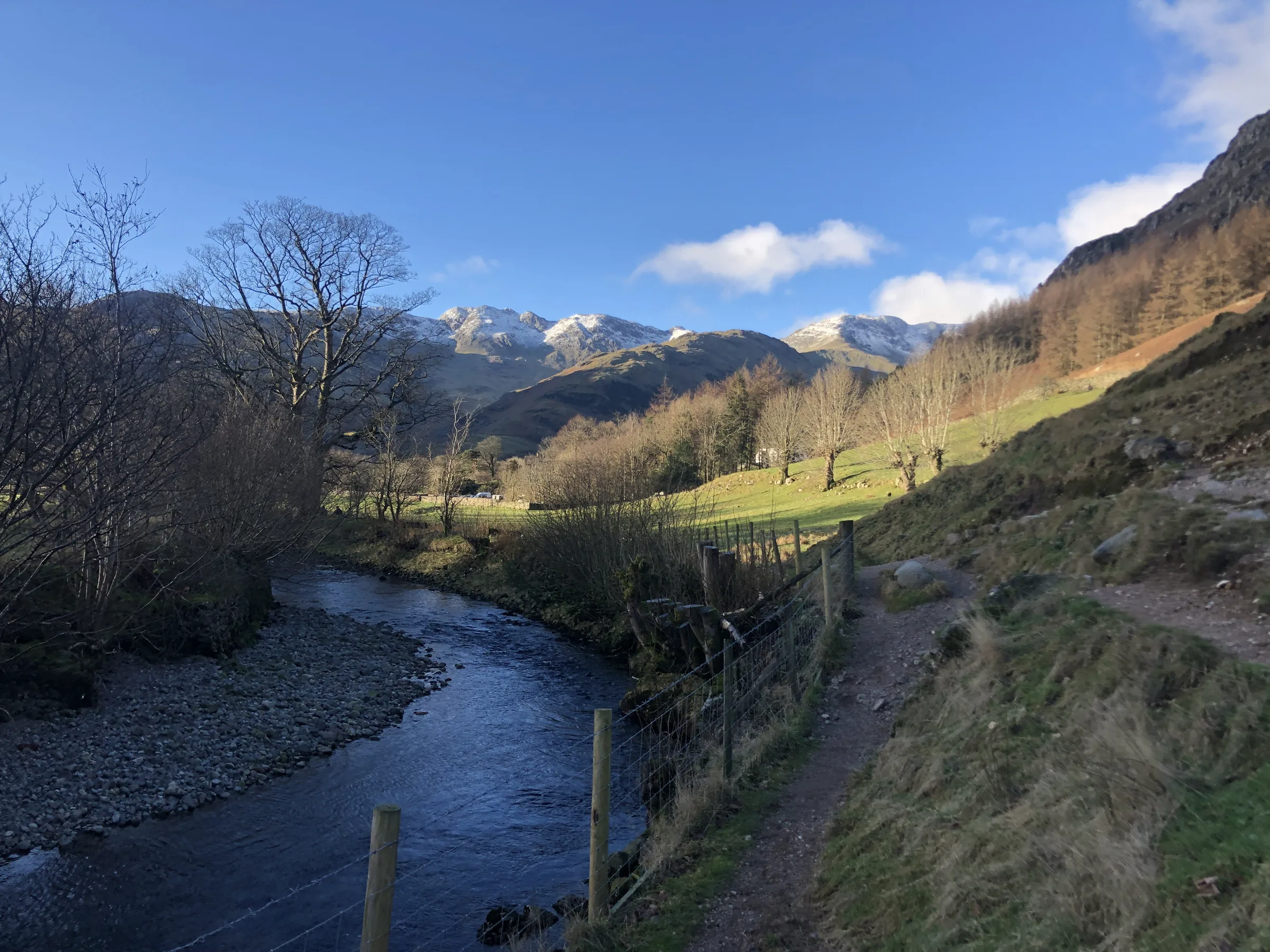
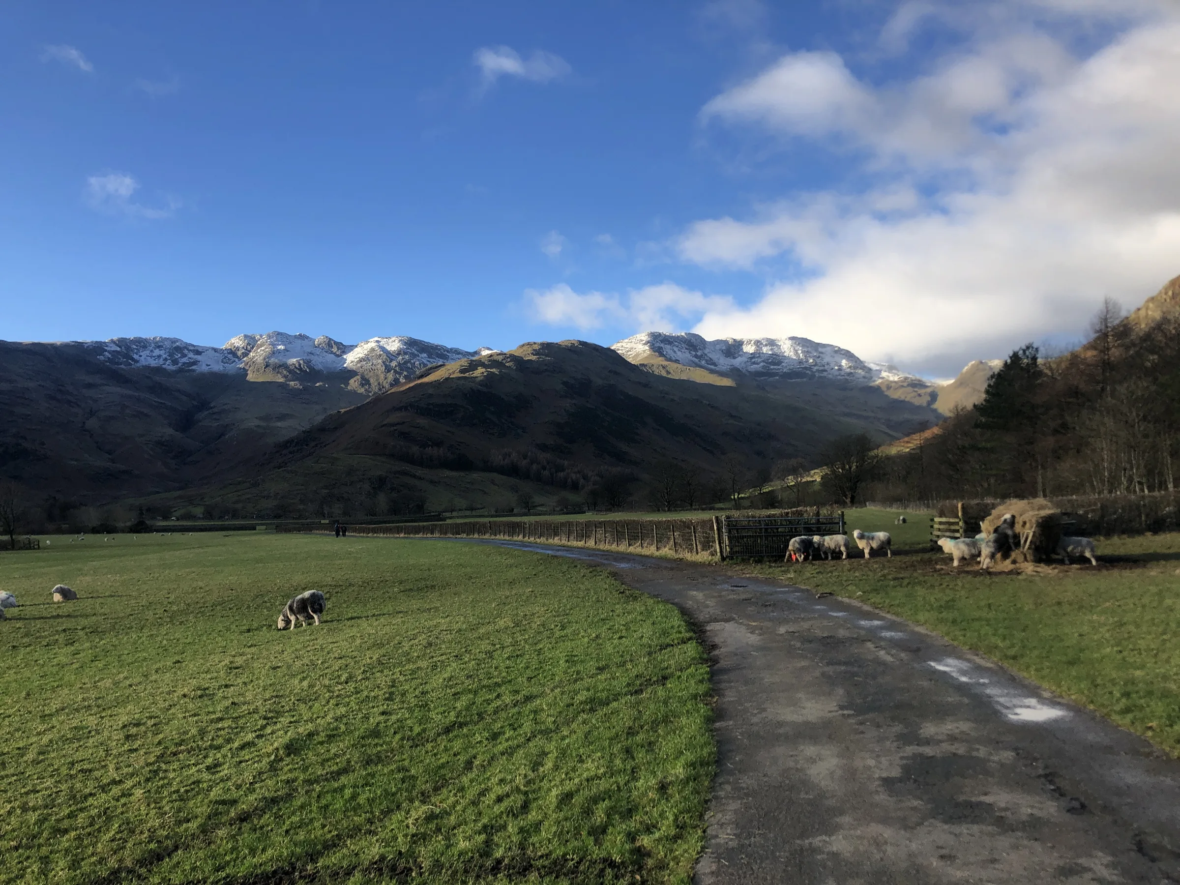
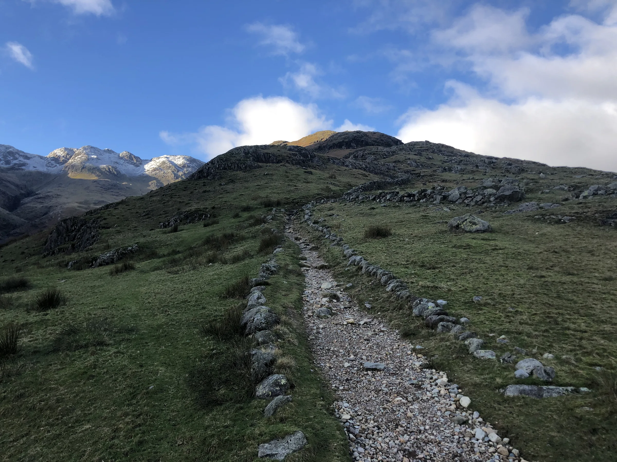
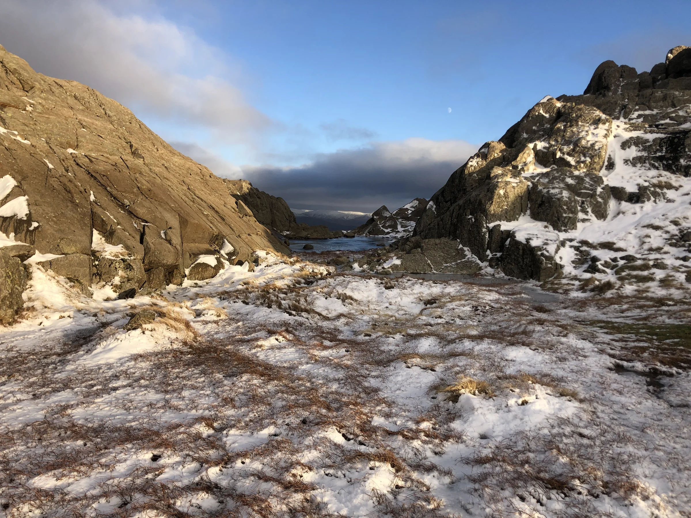
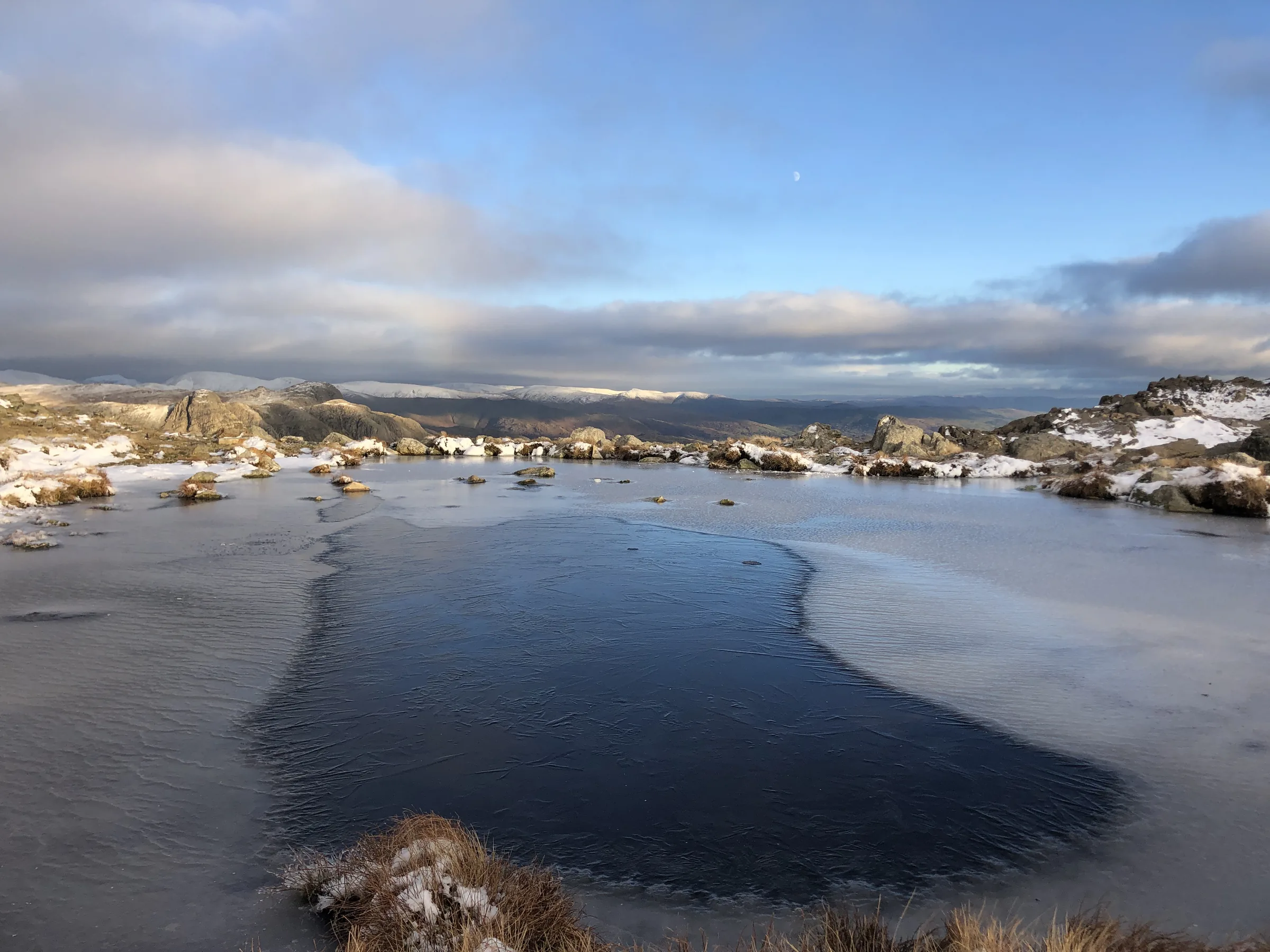
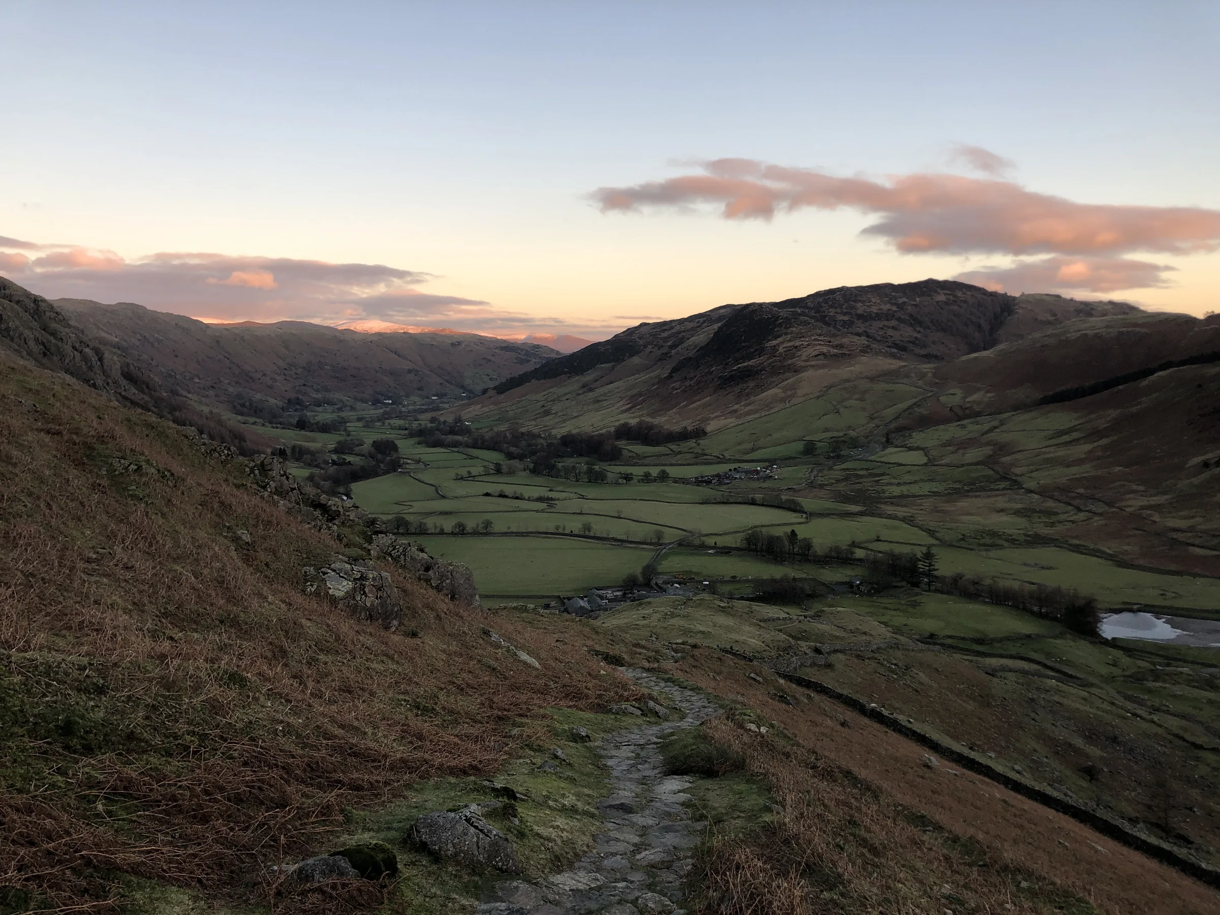
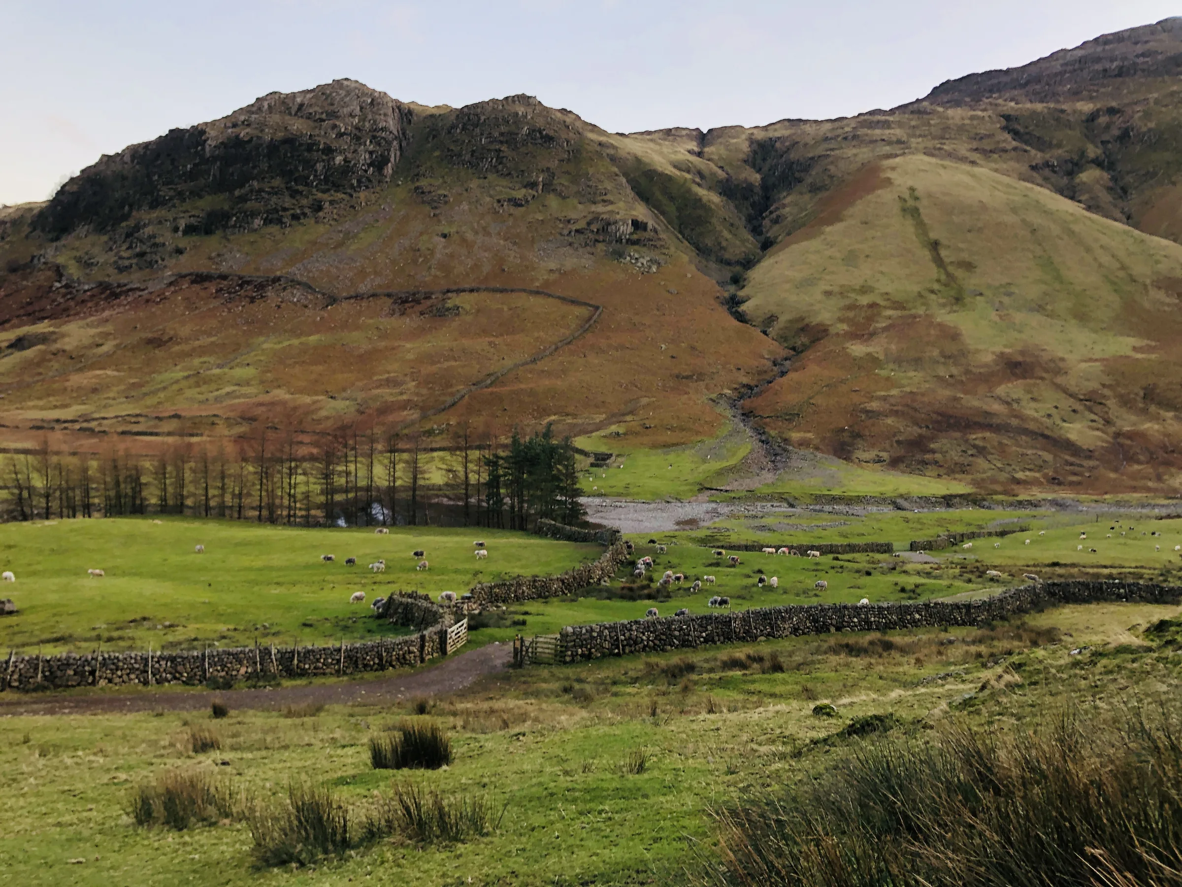
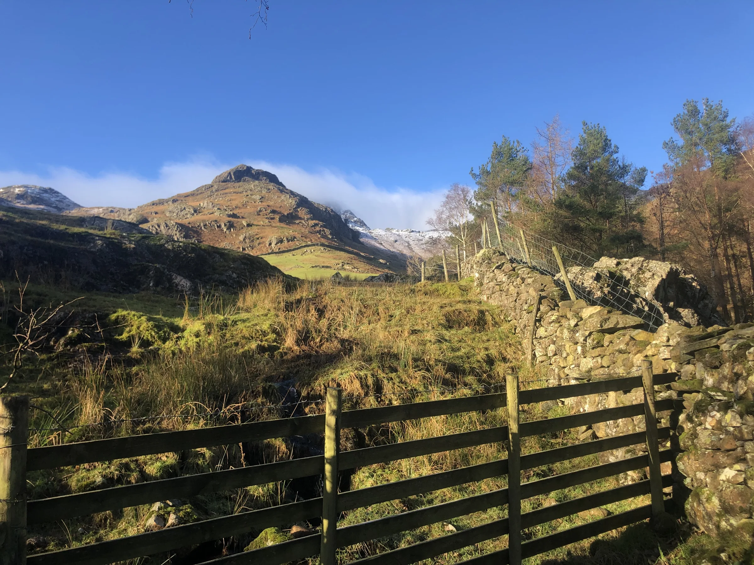
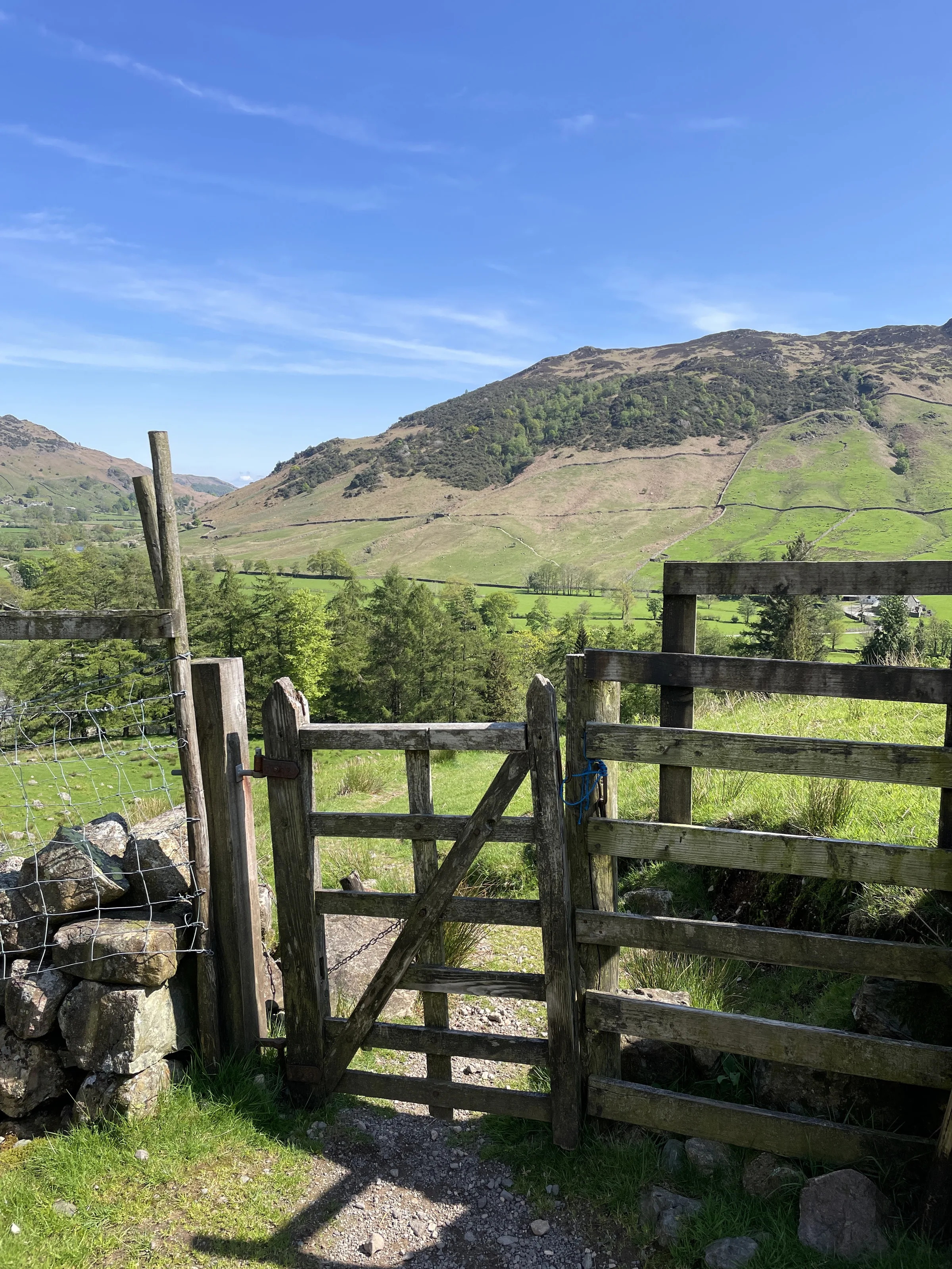
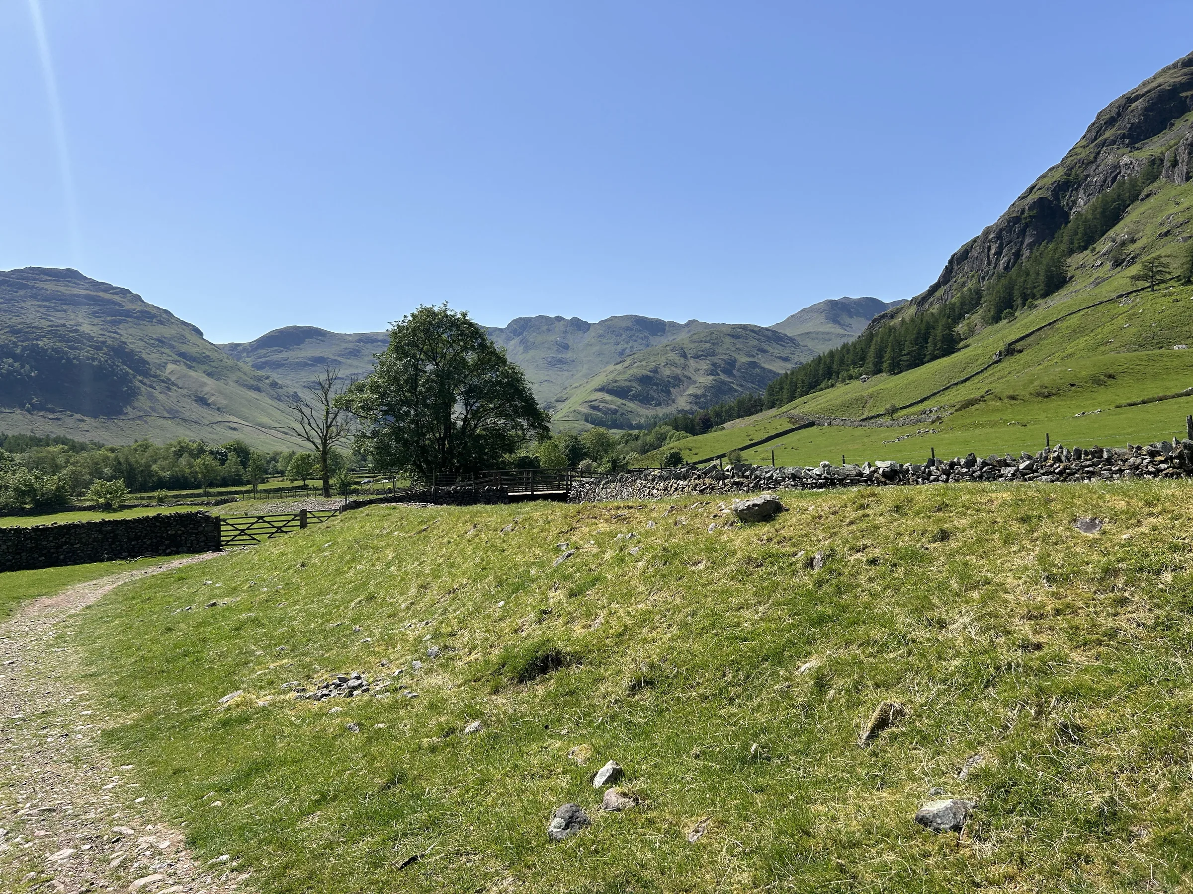
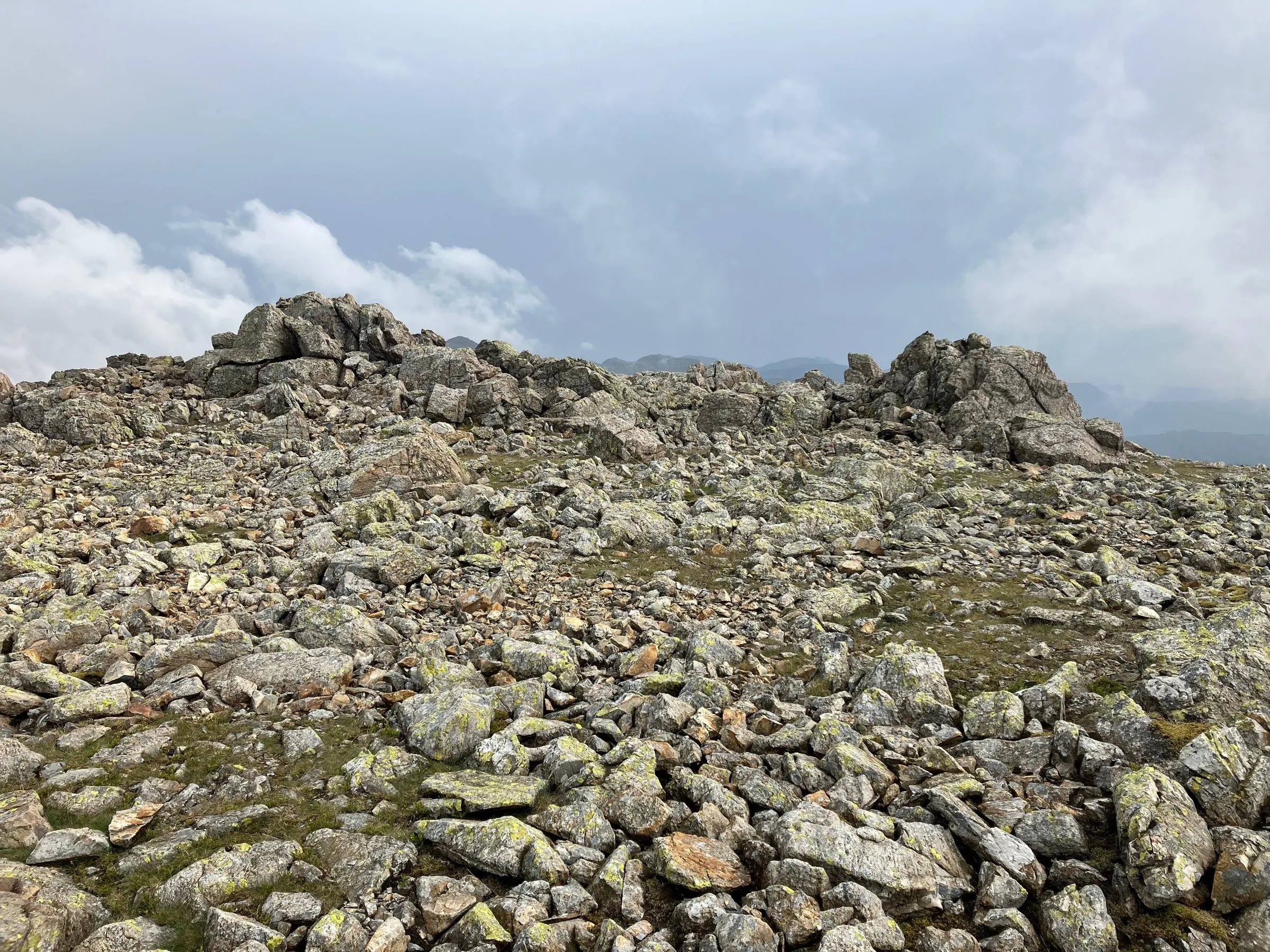
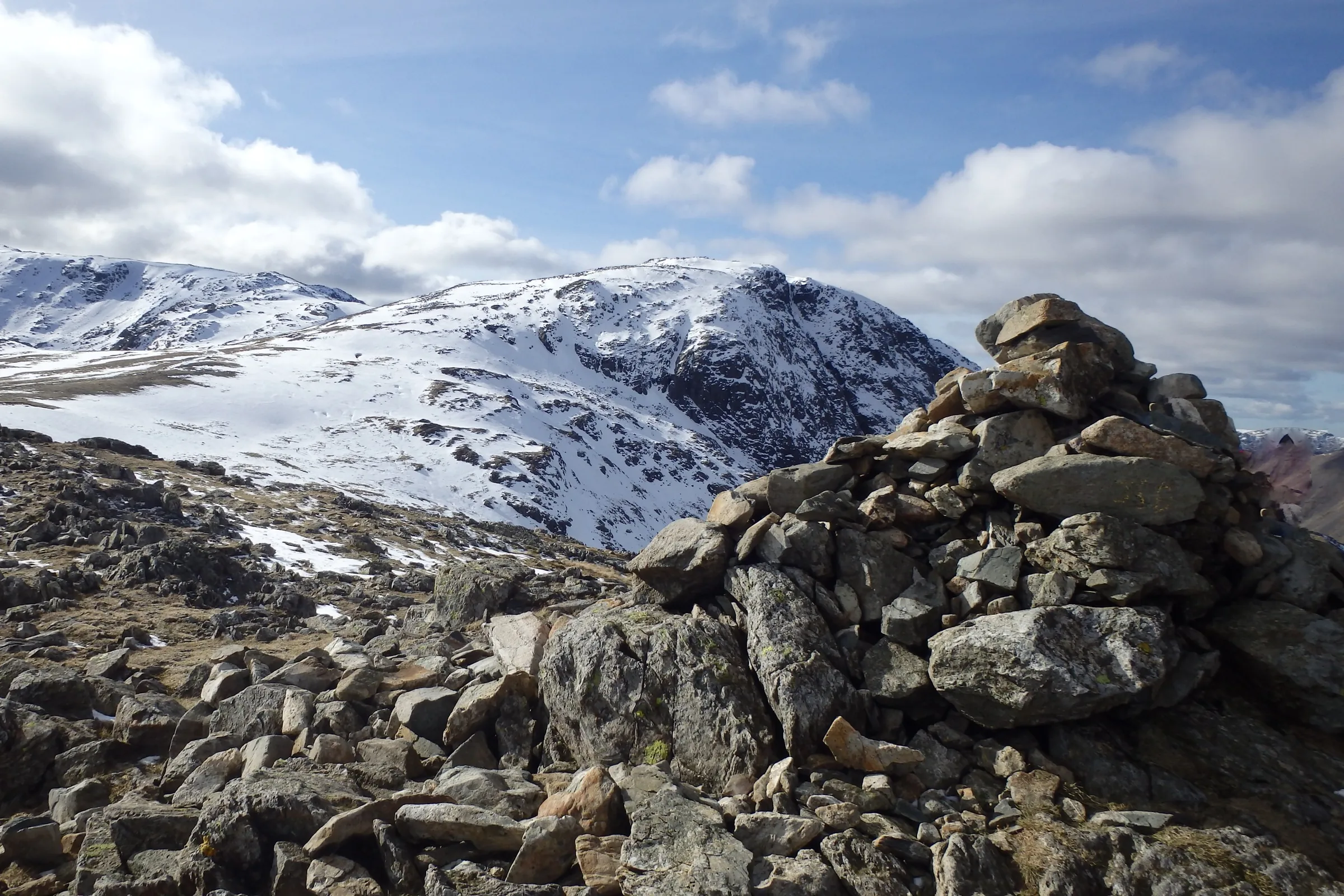
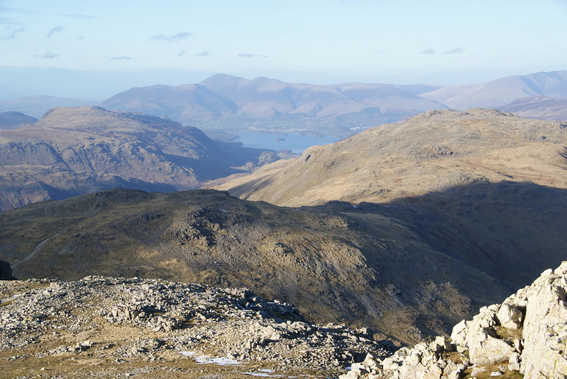
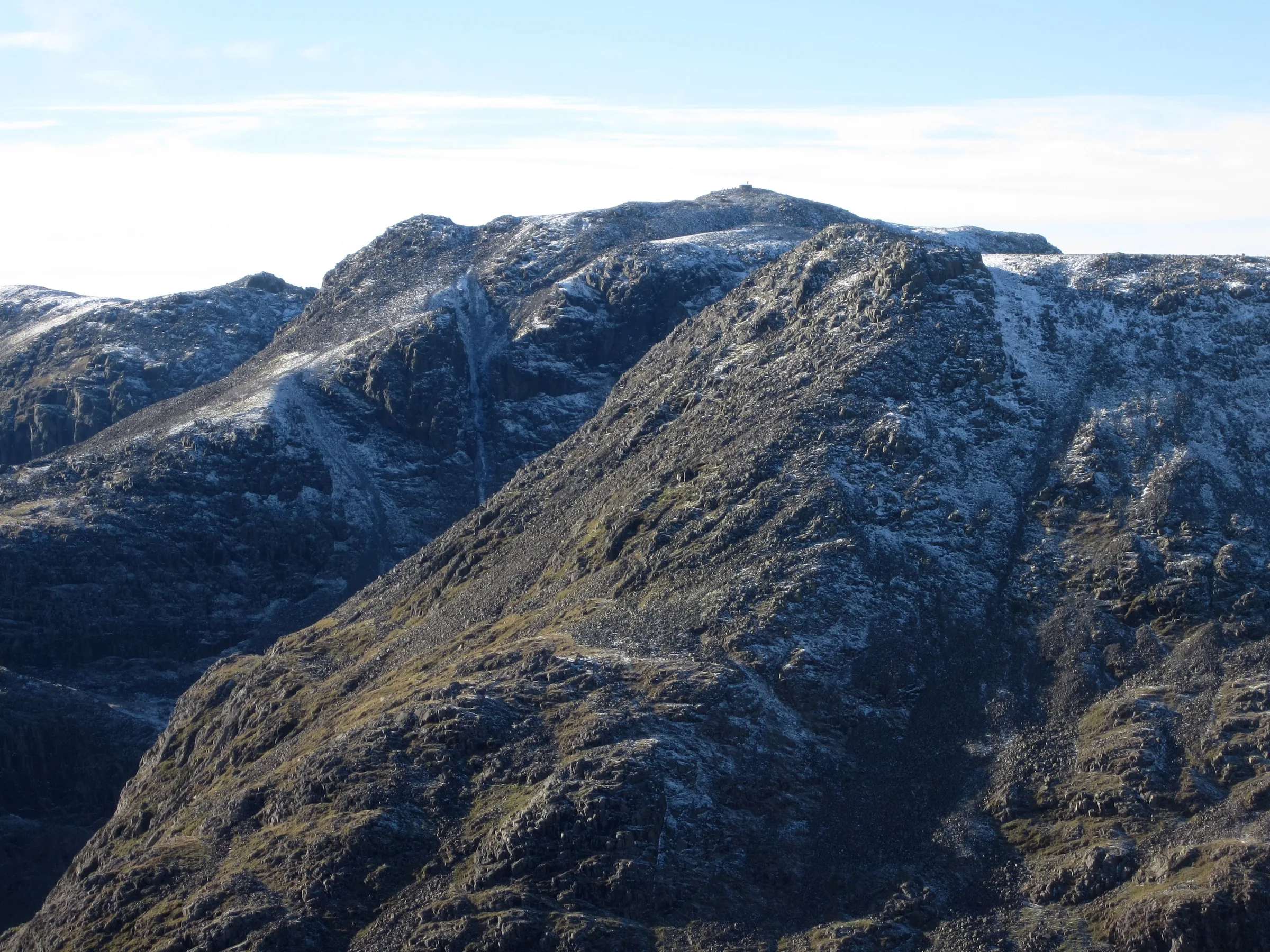
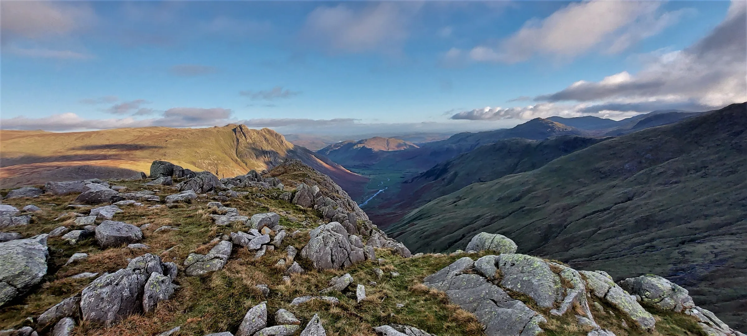
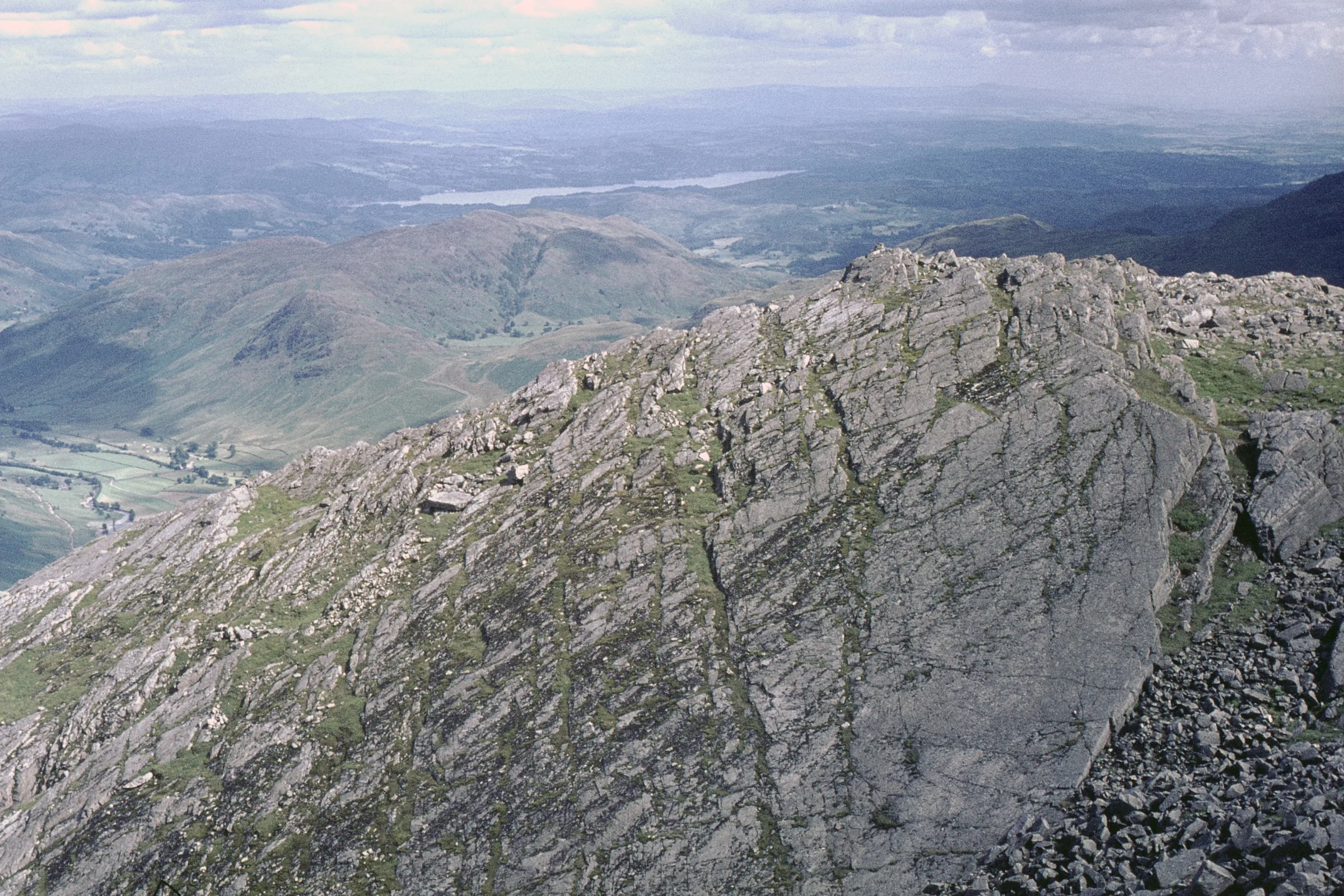
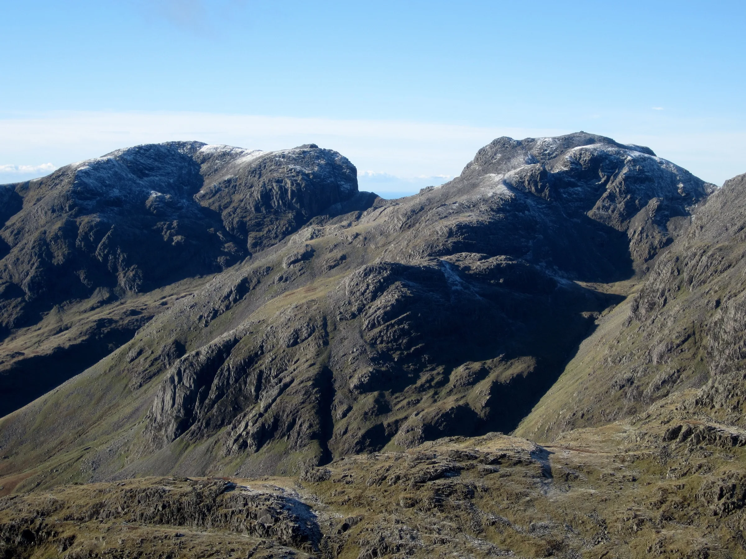
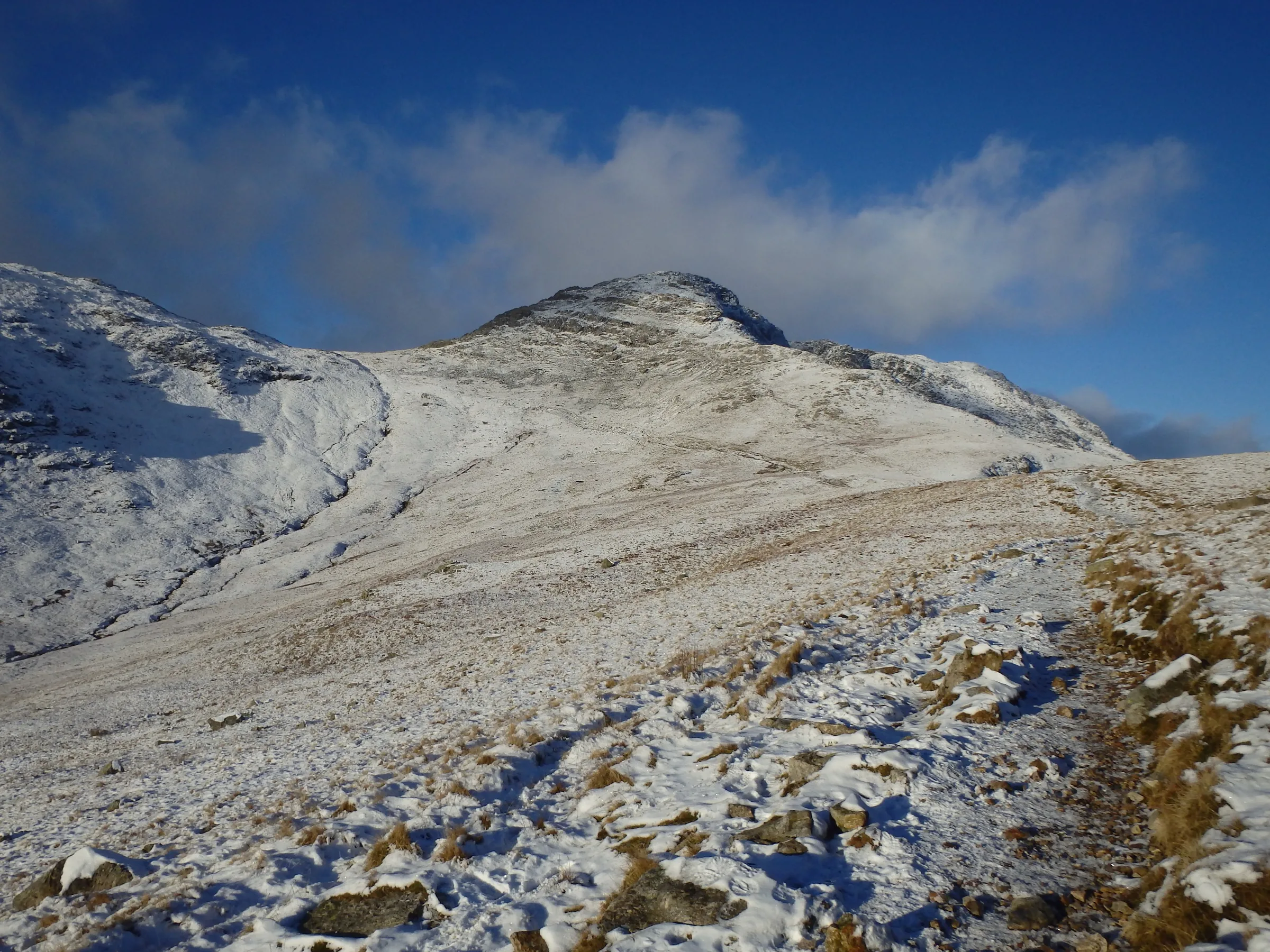
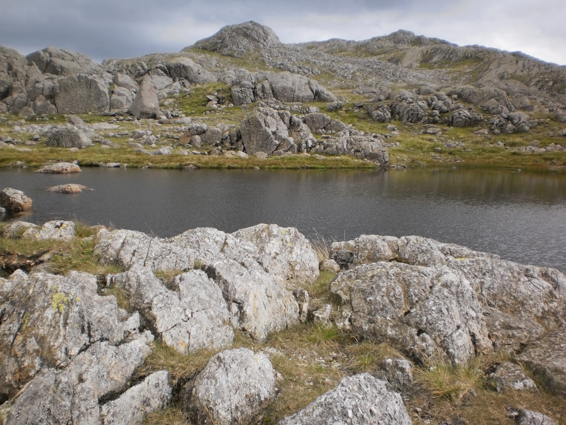
Photos
Photo credits
Photos without a credit are our own. These are used under Creative Commons licences; thank you to the photographers.
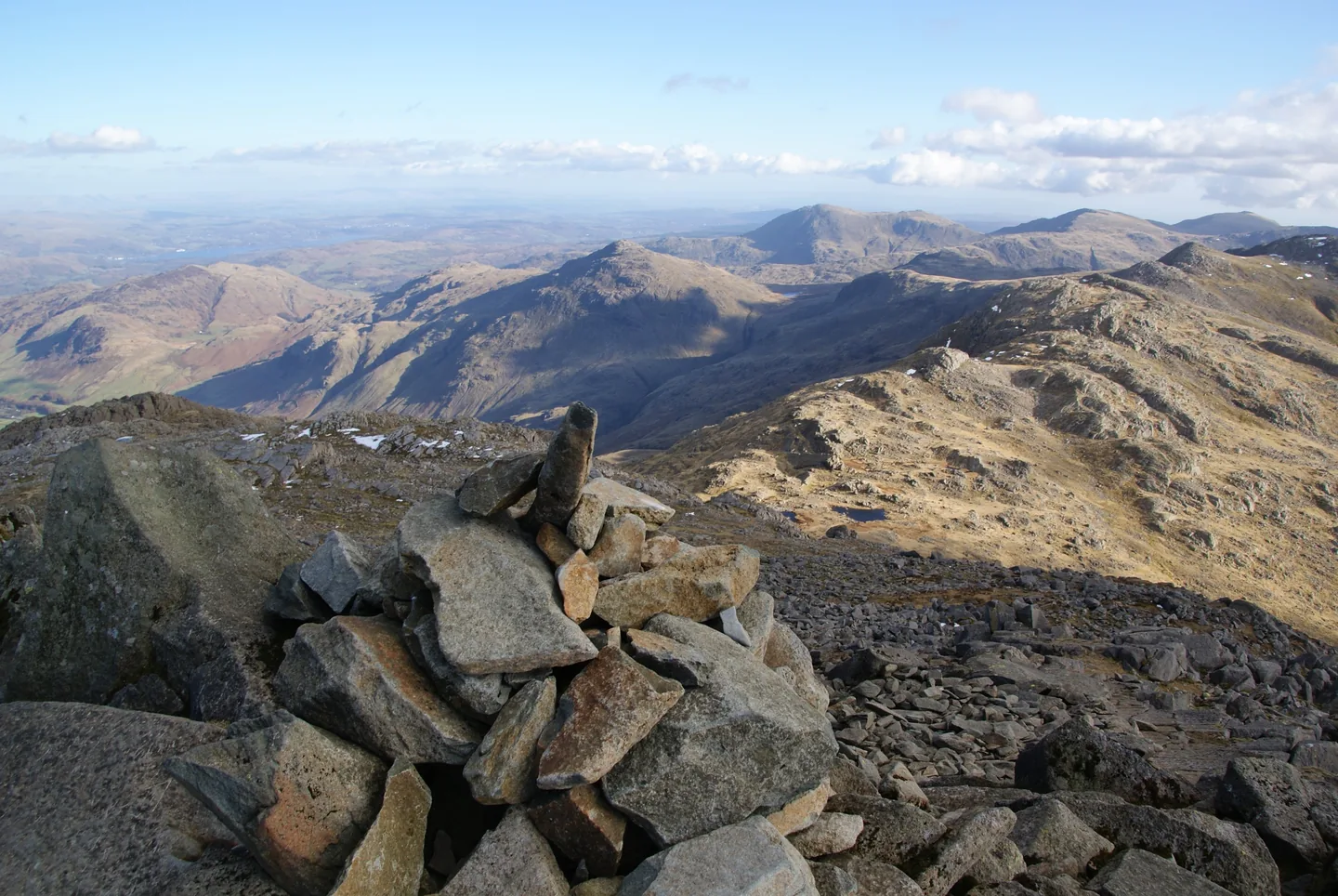
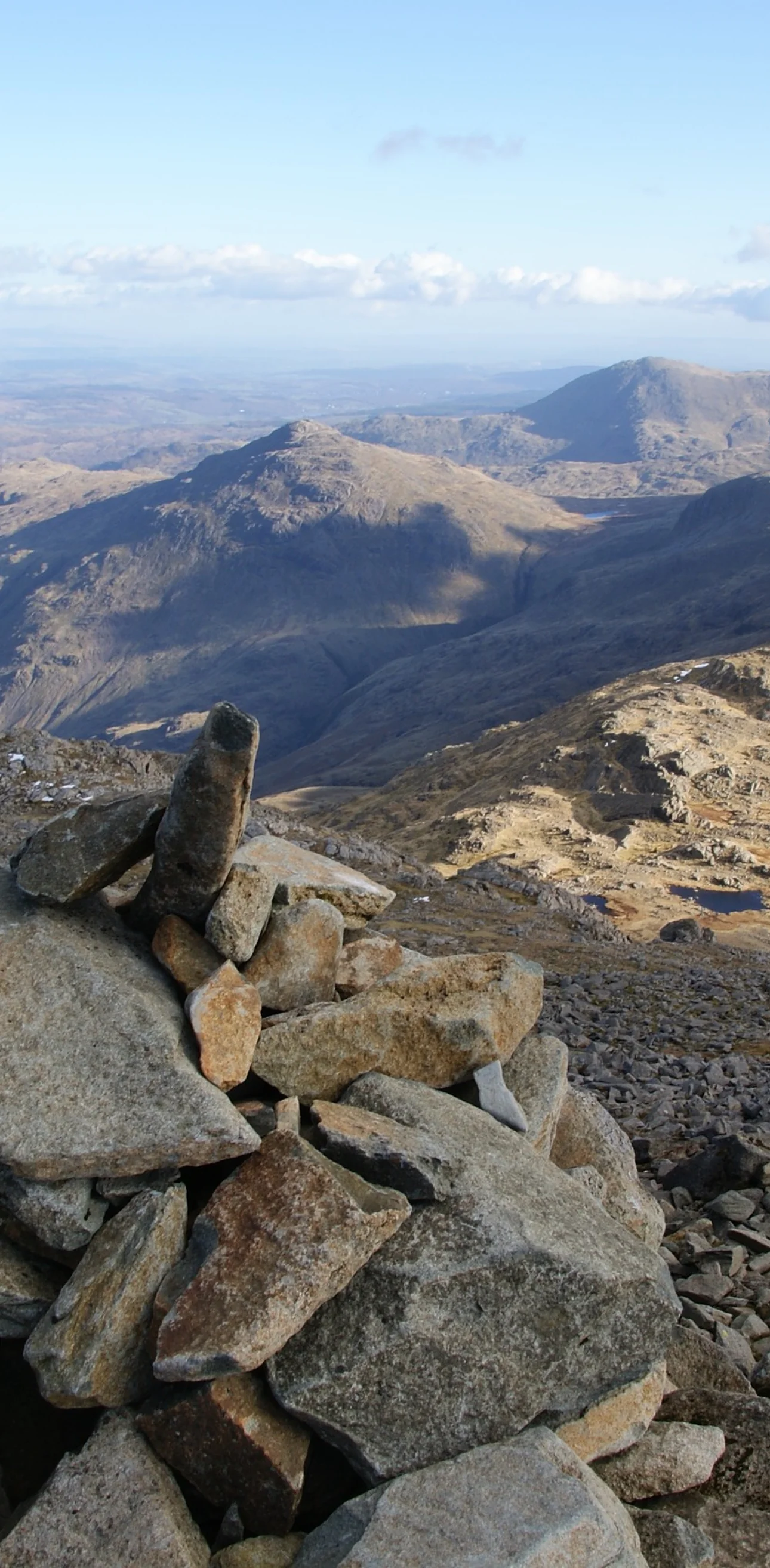
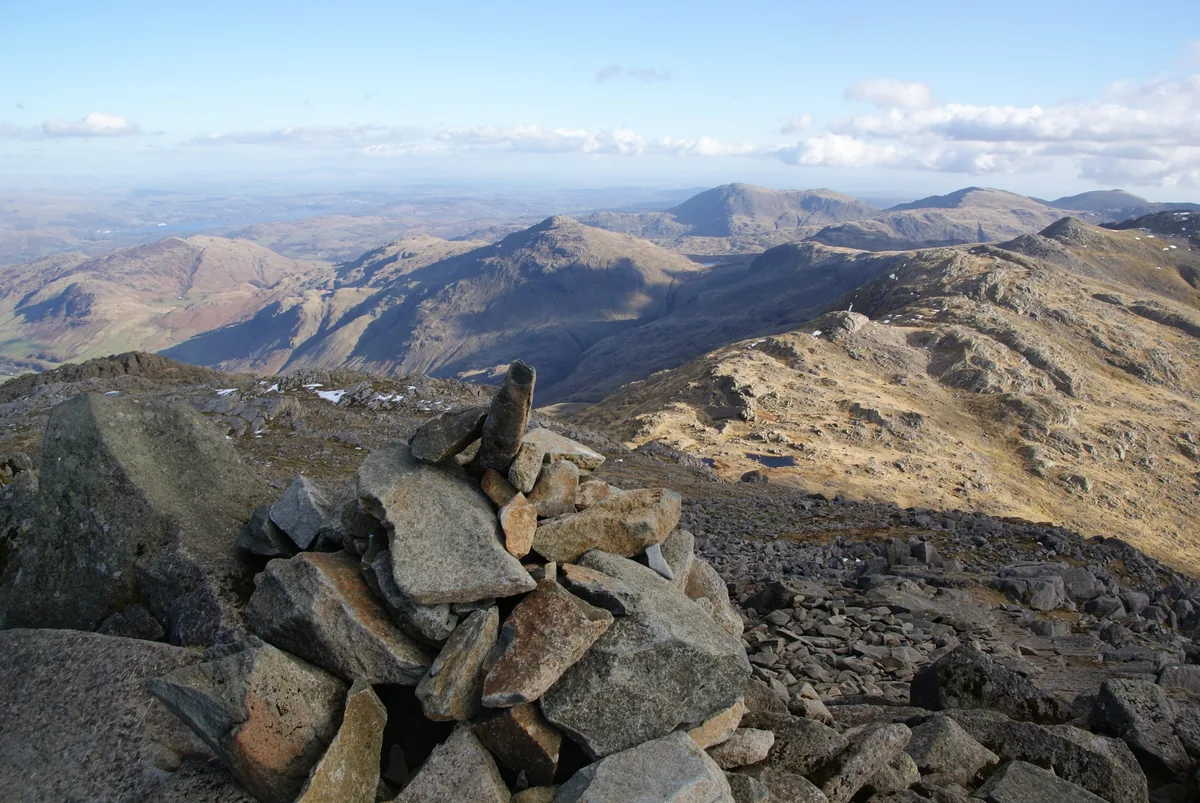 The summit cairn on BowfellHero photo · by Bill Boaden, Wikimedia Commons (Geograph)Original photoCC BY-SA 2.0 licence
 Summit of Great Endby Anthony Foster, Wikimedia Commons (Geograph)Original photoCC BY-SA 2.0 licence
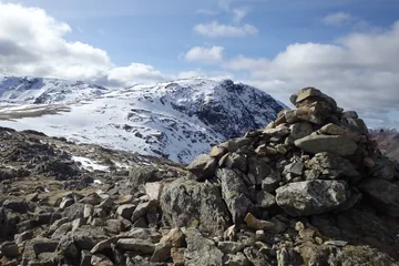
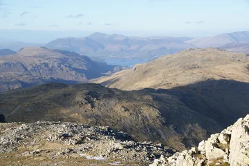
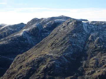 Looking towards Scafell Pike from the Esk Pike summitby Graham Robson, Wikimedia Commons (Geograph)Original photoCC BY-SA 2.0 licence
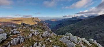
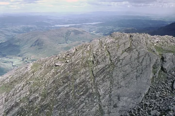 The Great Slab of Bow Fellby David Purchase, Wikimedia Commons (Geograph)Original photoCC BY-SA 2.0 licence
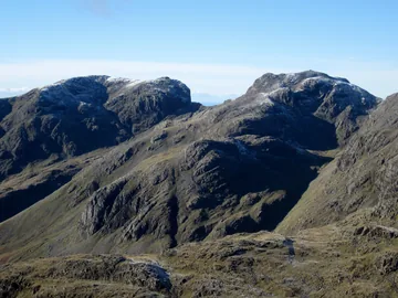 Scafell and Scafell Pike seen from the summit of Bowfellby Graham Robson, Wikimedia Commons (Geograph)Original photoCC BY-SA 2.0 licence
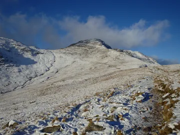 Approaching Bowfellby Michael Graham, Wikimedia Commons (Geograph)Original photoCC BY-SA 2.0 licence
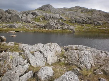 Crinkle Crags from Three Tarnsby Peter S, Wikimedia Commons (Geograph)Original photoCC BY-SA 2.0 licence
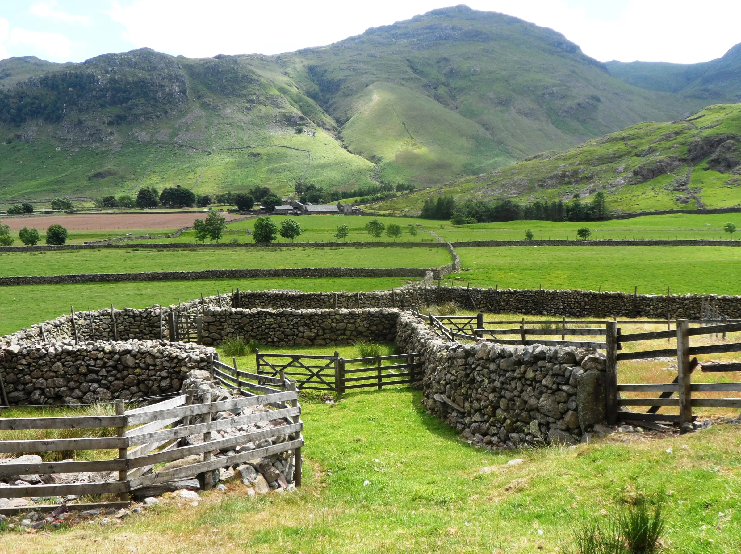
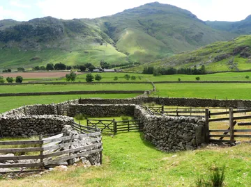 Sheepfold in Mickledenby Anthony Parkes, Wikimedia Commons (Geograph)Original photoCC BY-SA 2.0 licence
Hints & Tips
The Rossett Gill Climb
Most of the climbing on the way out comes in one go: over 400m up the stone-pitched path in Rossett Gill, in about a mile and a quarter. It's steady going on the stone steps, so take it slowly, stop to look back down Mickleden, and save some energy for the four tops still to come.
Two Esk Hauses in Mist
Paths from four valleys and four summits meet at Esk Hause, and there are two crossings: the one by the stone shelter and the true one higher up. This walk passes through it more than once, so in cloud it's easy to set off on the wrong path. Know which way you want for Allen Crags, Great End and Esk Pike before you get there, and follow the route on your phone.
Keep Back From the Gullies
Great End's summit sits right on top of its north-east cliffs, and the gullies cut deep into the edge. The sun rarely reaches them, so they often hold snow and ice well into spring. Enjoy the view down the face from a safe distance, especially in wind or in winter.
A Long Day on Rough Ground
At over 12 miles with about 1,250m of climbing, this is a full day, and the tops between Esk Hause and Bowfell are slow, boulder-strewn going. Start early, especially in winter, and keep an eye on the time at Esk Hause. The Band alone drops nearly 600m over about two miles, so leave plenty of time and energy for the way down.
Interesting Facts
General
Six Metres Apart
Great End (909.5m) is the highest of the five Wainwrights on this walk, and Bowfell (902.9m) is only 6.6m lower
The Red Gap
Ore Gap, between Esk Pike and Bowfell, is named after its reddish soil, which is rich in the iron ore haematite
Trout in Angle Tarn
Angle Tarn fills a round hollow below the crags of Hanging Knotts, is about 15m deep and has small trout living in it
The Climbers' Inn
The Old Dungeon Ghyll Hotel began as a farm and inn, was given to the National Trust by the historian G. M. Trevelyan, and is known to climbers simply as the ODG
The Least Liked Pass
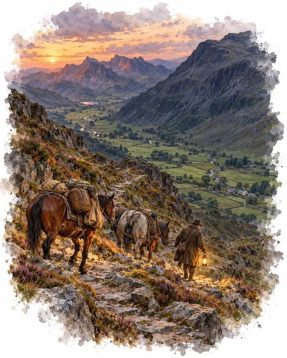
Long before walkers came, the fells were crossed by strings of packhorses. There were no roads fit for carts in the Lake District until the late 1700s, so goods were carried on horseback over the high passes, and Esk Hause is thought to have been one of the routes they used. The way from Wasdale to Great Langdale climbs to Sty Head, crosses the col by the stone shelter just below Esk Hause and drops over the Rossett Pass into Mickleden, and it was used to carry smuggled goods from Ravenglass on the coast.
By the 20th century the walkers' path up Rossett Gill had a bad name. Alfred Wainwright called it almost certainly the least liked of the Lakeland passes. It wasn't the steepness he minded but the stones, and he blamed the boots of the crowds for grinding away what little grass and soil was left. He sent walkers instead up the old Pony Route, a longer, roundabout line to the south of the gill. Since then the direct path has been rebuilt with stone pitching and is much improved.
The top of the pass brings its own puzzle. The crossing by the wind shelter that most walkers call Esk Hause isn't the real one. The true Esk Hause is about 30m higher and about 270m away, between Great End and Esk Pike, where the path from Borrowdale to Eskdale crosses. At 759m it is the highest pass in the Lake District, higher than Sticks Pass on the Helvellyn range, which usually gets the title. This walk passes through both.
Constable on Bow Fell
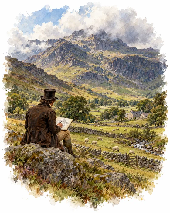
In 1806 the painter John Constable spent two months touring the Lake District. He told his friend and biographer Charles Robert Leslie that their solitude weighed on his spirits, and Leslie, whose life of Constable came out in 1843, wrote that the painter needed scenery full of people: villages, churches, farmhouses and cottages.
Bowfell was one of the fells he drew. From sketches he made on the spot came a small oil painting, Bow Fell, Cumberland, only about 20cm by 25cm. It was one of three Lake District pictures he showed at the Royal Academy's Summer Exhibition at Somerset House in 1807, a change from his usual views of the River Stour in Suffolk.
Afterwards Constable's work returned to the lowlands. He settled into a routine of winters in London and summers painting at East Bergholt, the Suffolk village where he was born, and from 1811 the cathedral city of Salisbury inspired some of his greatest works. His picture of Bowfell crossed the Atlantic and is now in the collection of the Clark Art Institute in Massachusetts, which acquired it in 2007.
More Hikes
 ModerateCatbells3.6 mi · 2–3 hrs · 404m
 HardSkiddaw6.5 mi · 4–5 hrs · 870m
 HardOld Man of Coniston4.9 mi · 3–4 hrs · 585m
 HardPike of Stickle4.1 mi · 3–4 hrs · 710m
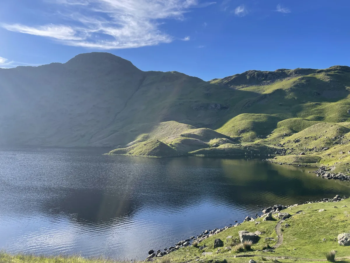 ModerateEasedale Tarn6.9 mi · 4–4½ hrs · 600m
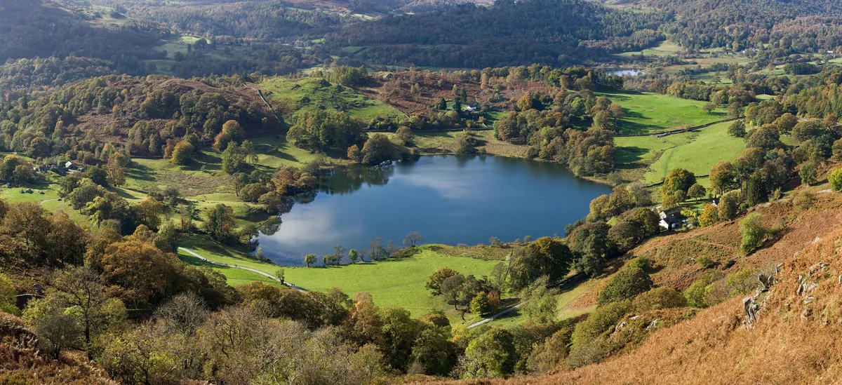 EasyLoughrigg Fell3.0 mi · 2–2½ hrs · 326m
Subscribe for updates on new hikes and National Parks
One email a month with new hikes and routes. No spam.