



Contents
Overview
From the streets of Ambleside you can pick out Low Pike, the first knobble on a long ridge that runs north for miles to Fairfield. At 873m, Fairfield is the highest of the fells that ring the quiet valley of Rydal Beck, and the loop round that valley takes in eight Wainwrights. From the south the slopes look grassy and gentle, but the summit sits right at the edge of the crags and deep coves above Deepdale. Alfred Wainwright counted the round among his favourite ridge walks.
This route goes anticlockwise, the way Wainwright himself suggested. You leave Ambleside up Nook Lane, cross Low Sweden Bridge and follow a long stone wall up the eastern arm, over Low Pike, High Pike and Dove Crag to Hart Crag. A rocky step above Link Hause brings you onto Fairfield's broad, stony top, about five miles in. The way home is down the western arm over Great Rigg, Heron Pike and Nab Scar, then a steep drop to Rydal past Rydal Mount, Wordsworth's home for 37 years. A track leads back towards Ambleside, with one last short climb to Low Sweden Bridge before Nook Lane takes you down into town. This walk takes in eight Wainwrights: Fairfield, Hart Crag, Dove Crag, Great Rigg, High Pike, Heron Pike, Low Pike and Nab Scar. Find all 214 on our Wainwrights map.
Go prepared, stay safe,
and enjoy the hike!
Key Info
Crowds
High
The Fairfield Horseshoe is one of the most popular day walks in the Lake District, and parts of it are worn into wide, well-trodden paths. It starts in Ambleside, which gets very busy in summer and the school holidays. Because it is long, the crowds spread out, and the high ground can feel empty on a quieter day.
When it gets busy
- Summer and the school holidays, when Ambleside is very busy
- Fine weekends and bank holidays (general Lake District pattern)
- The main ridge paths, so heavily used that stretches have worn into wide paths
For a quieter walk
- Go outside summer and the school holidays
- Pick a weekday rather than a weekend
- Start early to get parked in Ambleside and to be ahead of the day walkers on the ridge
- Avoid the bright, sunny days if you want space; on misty days walkers report meeting very few people on the tops
- Come by bus to Ambleside, as the 555 runs through the town (check times first)
Our crowd rating is for a typical sunny weekend in spring or summer, in the middle of the day. Timing makes a big difference, so even a busy walk can be quiet early, late or midweek.
The Route
Disclaimer: Route information and GPX files are provided for general guidance only. Conditions can change, so always use your own judgement and navigate responsibly. See our Terms of Use & Disclaimer for more information.
Route Guide
- 1
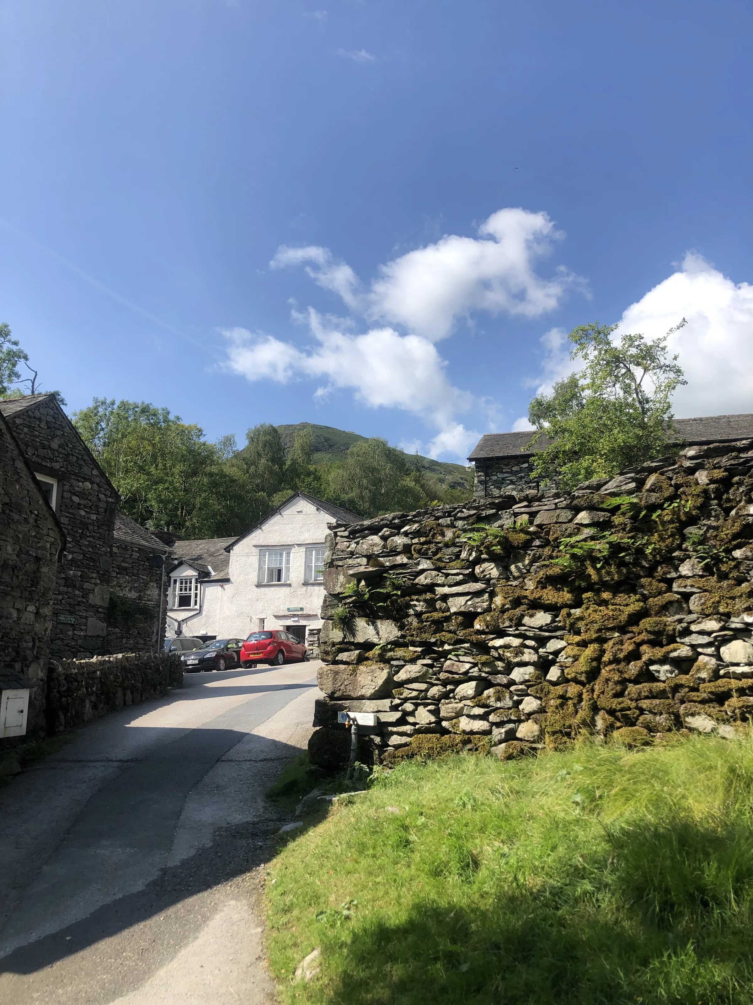
Up Nook Lane to Low Sweden Bridge0.3 mi · 30m upFrom the centre of Ambleside, walk north up Nook Lane to Low Sweden Bridge and cross Scandale Beck. The lane climbs gently all the way.
- 2
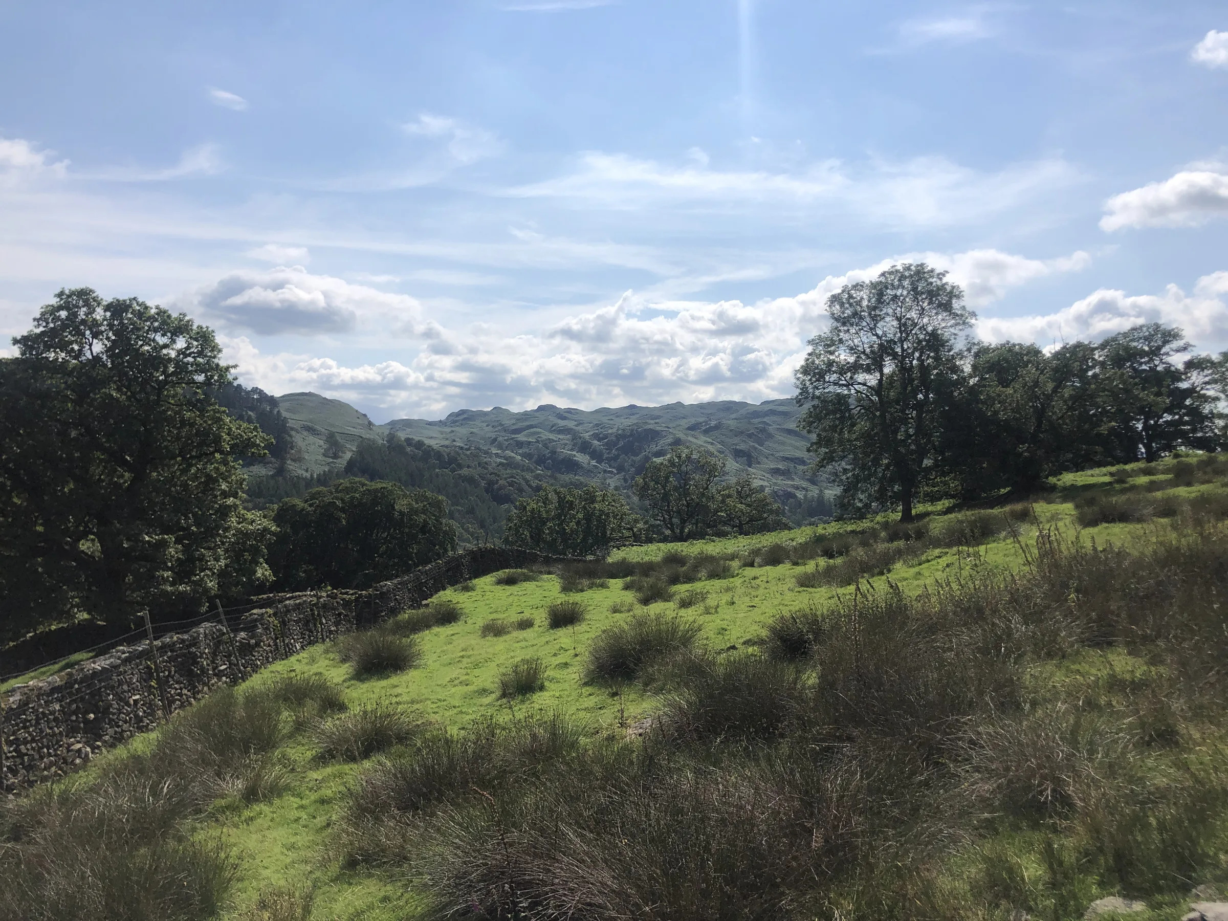
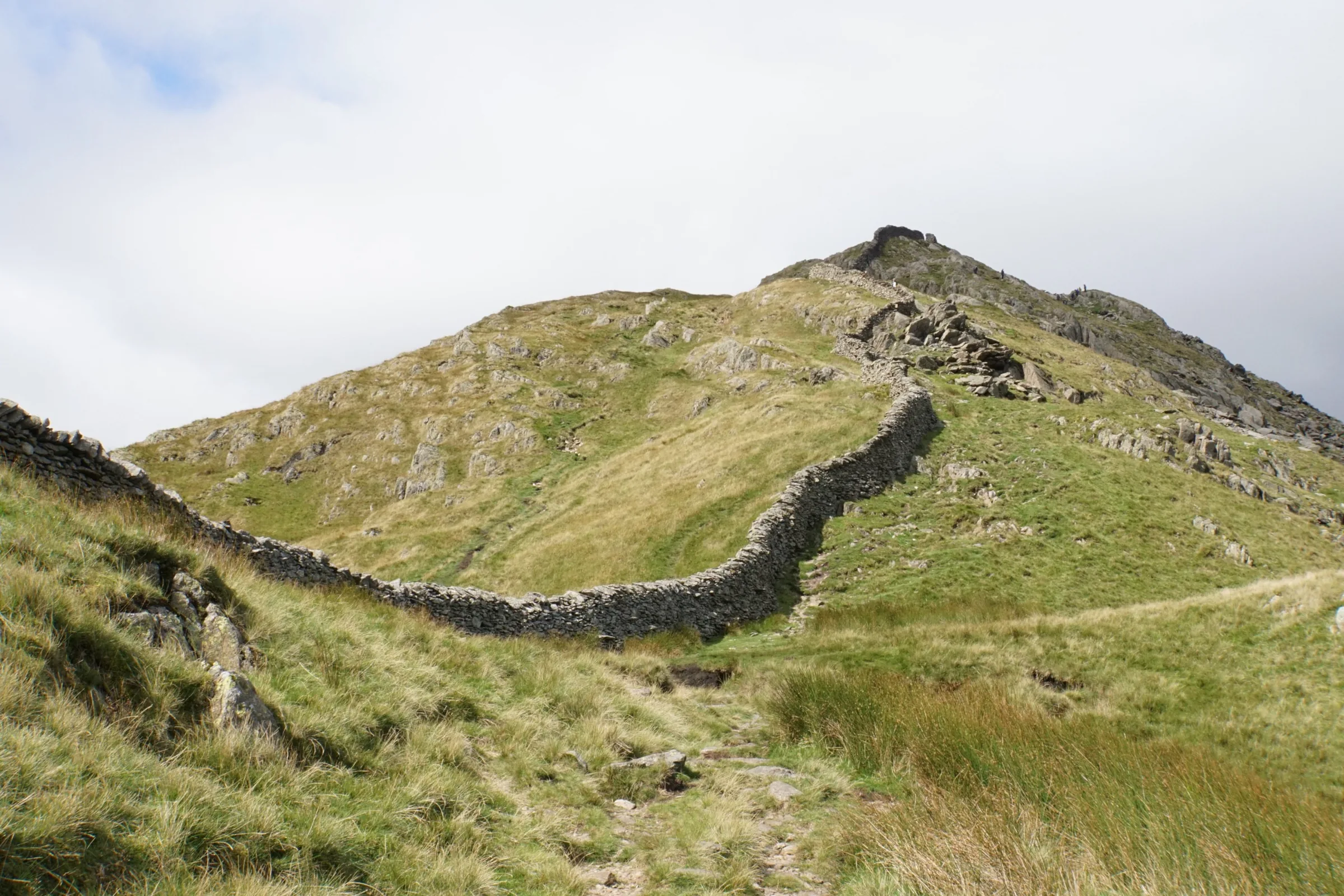
Beside the wall to Low Pike1.7 mi · 375m upHead north up the open ridge. A high dry stone wall runs along its spine, and you follow it for nearly four miles. The climb is steady, with a few steeper pulls, up to the small rocky top of Low Pike at about the 2 mile mark, where you may need your hands for a moment.
- 3
Over High Pike to Dove Crag1.6 mi · 300m up · 5m downDrop briefly to a dip, then climb to the flat grassy top of High Pike, its cairn on the edge of the crags above Scandale. Keep north beside the wall up the broad ridge to Dove Crag, whose small rocky summit lies just east of the wall.
- 4
Hart Crag and the step to Fairfield1.5 mi · 175m up · 90m downDip to a col and climb onto the rocky top of Hart Crag. From here the ridge heads north-west, down to the saddle of Link Hause, then up a short rocky step and west across Fairfield's wide, stony top. This is the highest point of the walk, at about the 5 mile mark.
- 5
South over Great Rigg2.3 mi · 70m up · 350m downLeave the summit on the long grassy ridge heading south, not the paths north-west towards Cofa Pike. It drops gently to Great Rigg at about the 6 mile mark, falls to about 600m and then rolls along over the higher north top of Heron Pike to Heron Pike itself.
- 6
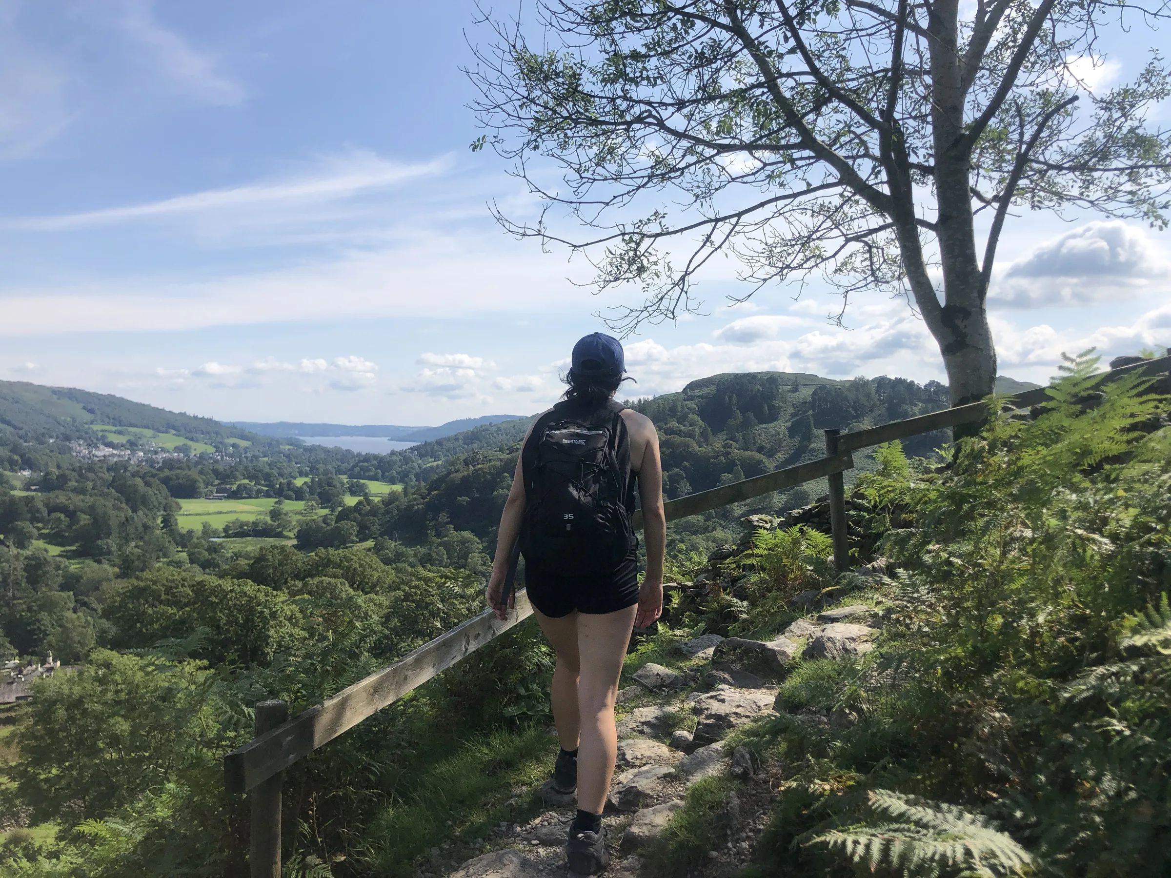
Nab Scar and the drop to Rydal1.5 mi · 500m downCarry on south along the ridge, steeper and rougher at first, to Nab Scar at about the 8 mile mark. From here the path turns east and drops steeply, about 350m in under a mile, to come out by Rydal Mount. Walk down past Rydal Hall and cross Rydal Beck.
- 7
Back to Ambleside1.6 mi · 105m up · 105m downFollow the track south-east from Rydal Hall towards Ambleside. Near the edge of town the route climbs east, about 85m, to rejoin your morning path just above Low Sweden Bridge. Cross the bridge and walk back down Nook Lane to the start.
Use the route on OS Maps, AllTrails or Komoot to navigate on the day; this guide is for planning.
Parking
The walk starts from the council's Rydal Road car park (LA22 9AN) at the north end of Ambleside. It has 171 spaces plus 10 disabled spaces, and charges from 8AM to 8PM: £2.60 for 1 hour, £4.40 for 2, £5.80 for 3, £7.40 for 4, £8.80 for 6 or £10.60 for the day. As this walk takes 6 to 7 hours, get the all-day ticket. You can also pay by phone (location 9917), and Blue Badge holders get an extra hour. There are public toilets in the car park. Check the latest prices here.
*Prices correct at time of writing; check before you travel.
Facilities & Hospitality
Public toilets in the Rydal Road car park, at the start and finish of the walk. There are none up on the horseshoe.
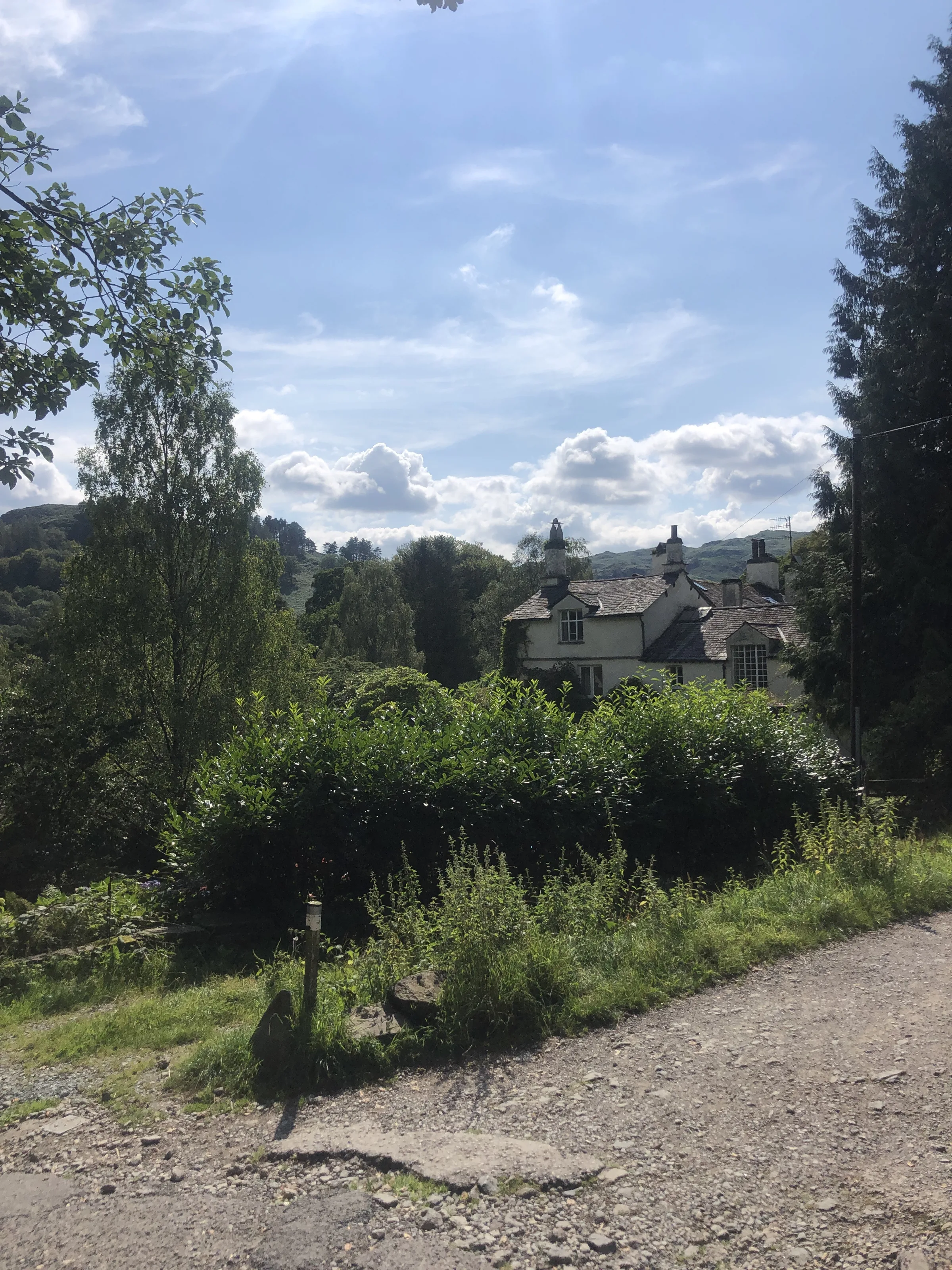
The walk comes down off Nab Scar to Rydal Hall, about 2 miles from the finish. Here the Café at Rydal, in the Old School Room, serves home-made soup, sandwiches and cakes, with gluten-free and dairy-free choices and plenty of seats outside. The hall has rooms to stay, and its gardens hide the Grot, a little summer house built to look onto a waterfall.
Weather
Hike Videos
Note: Videos are made by other walkers, not The Lost Peak. They may not follow this exact route, and paths, conditions and facilities may have changed since filming.
Photo Gallery
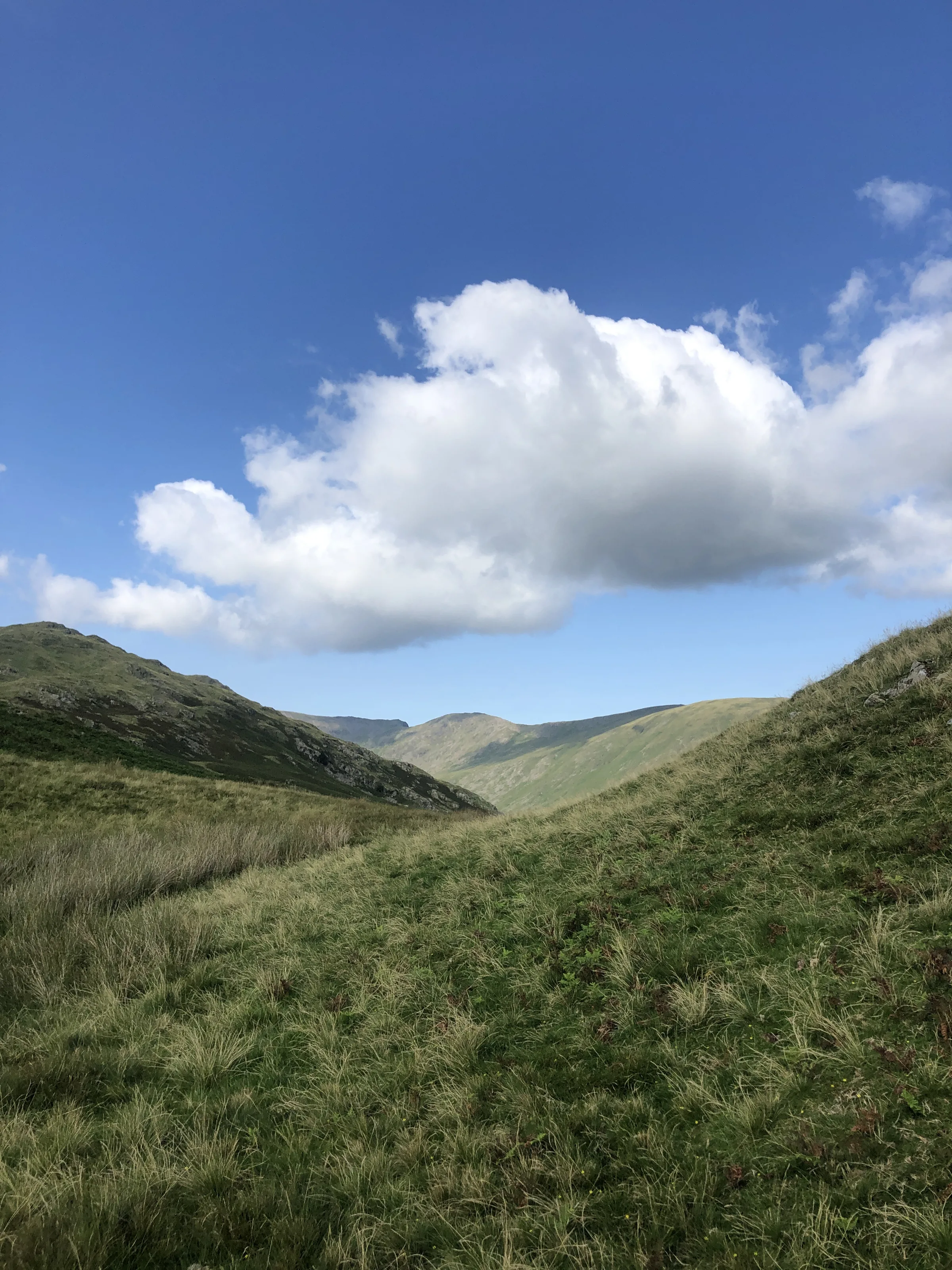
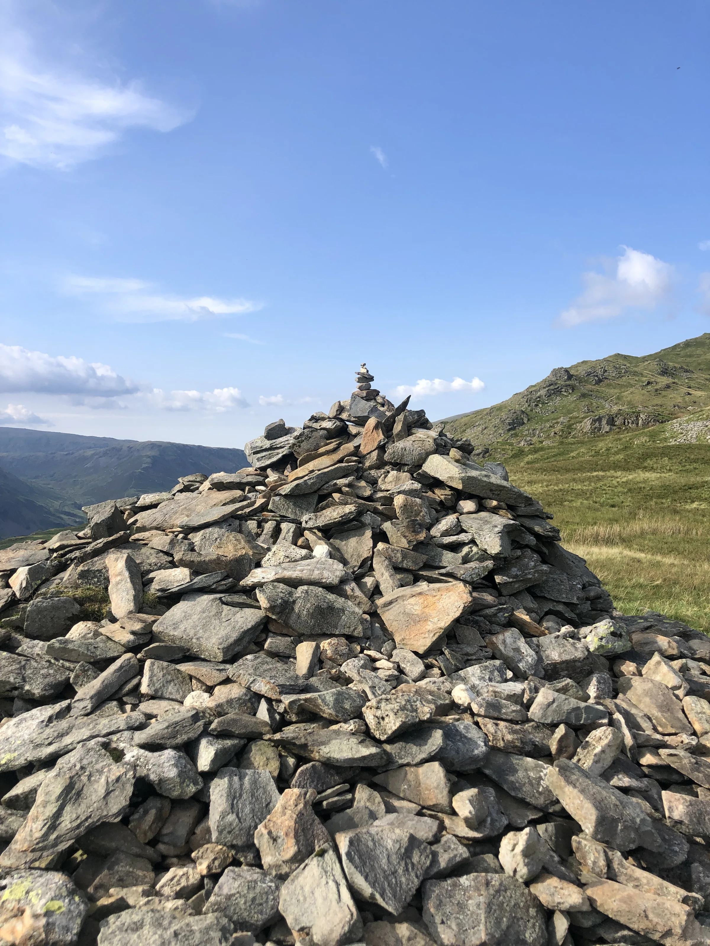
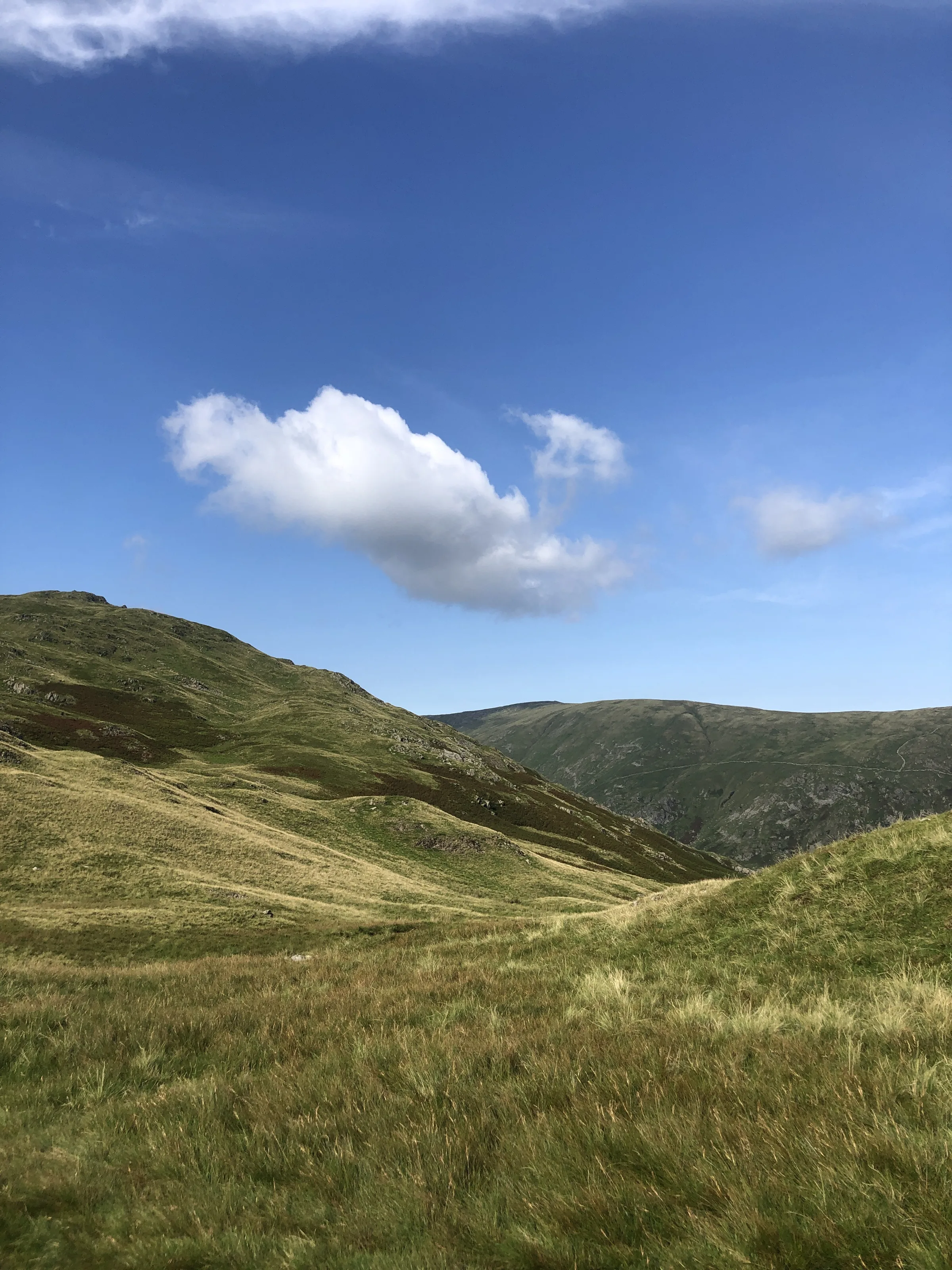
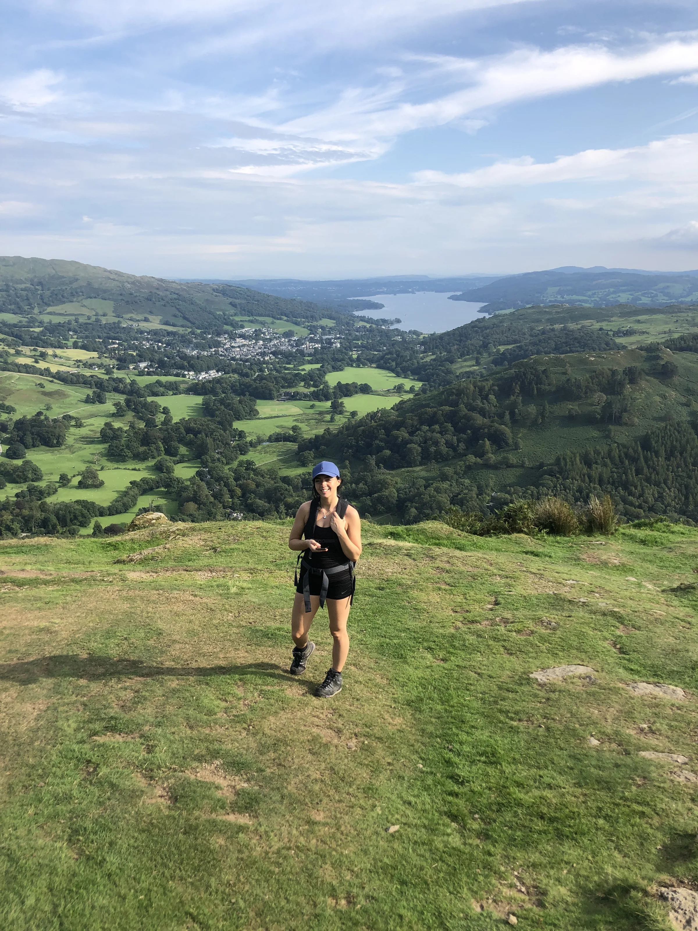
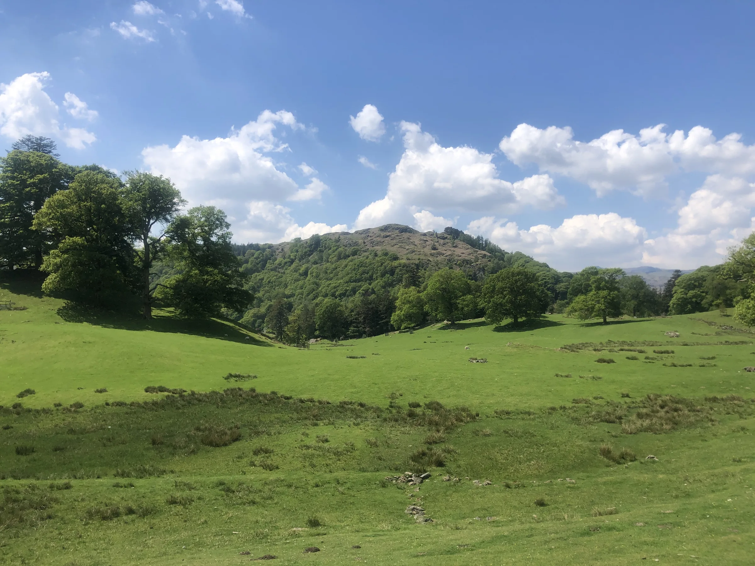
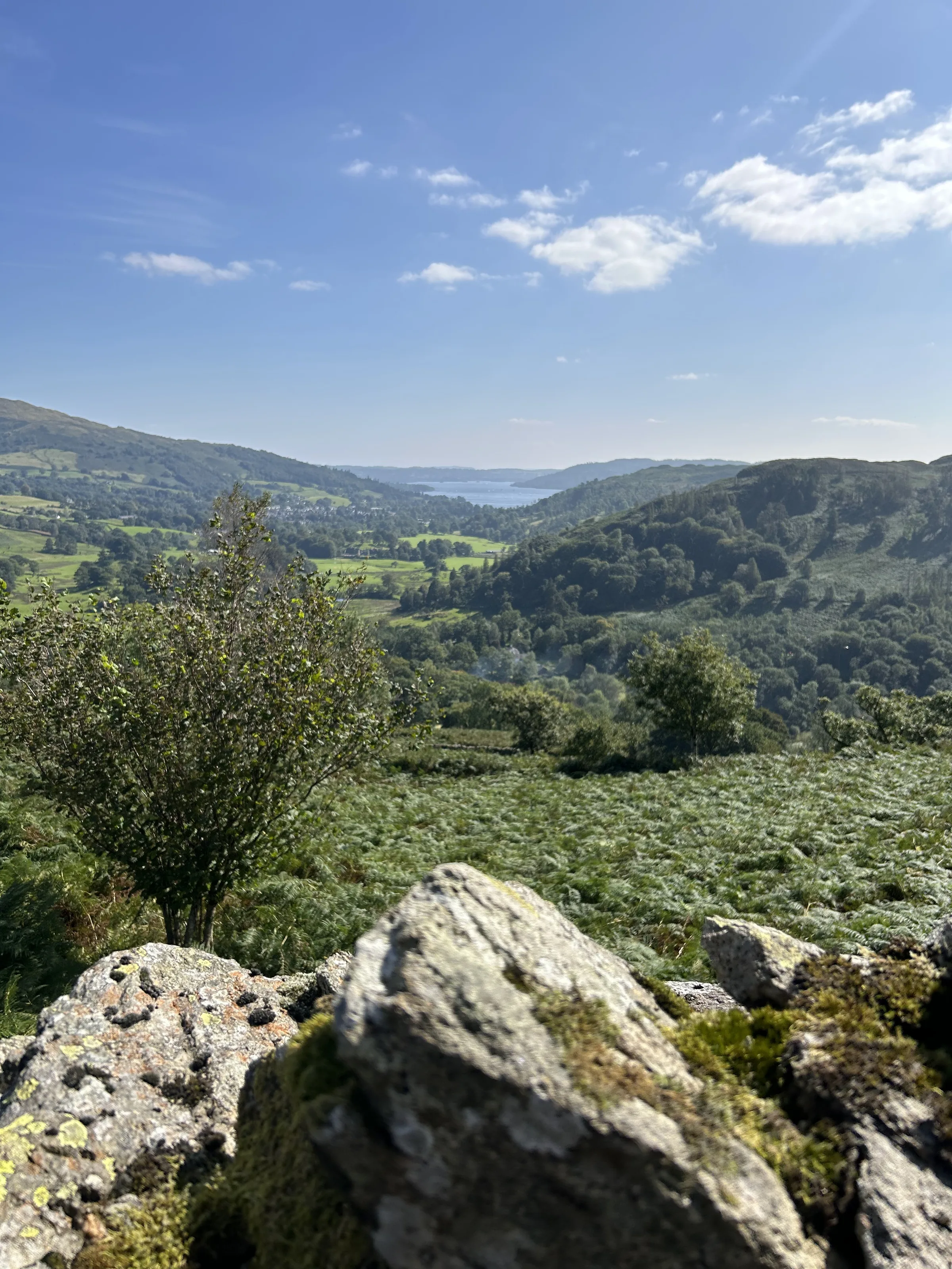
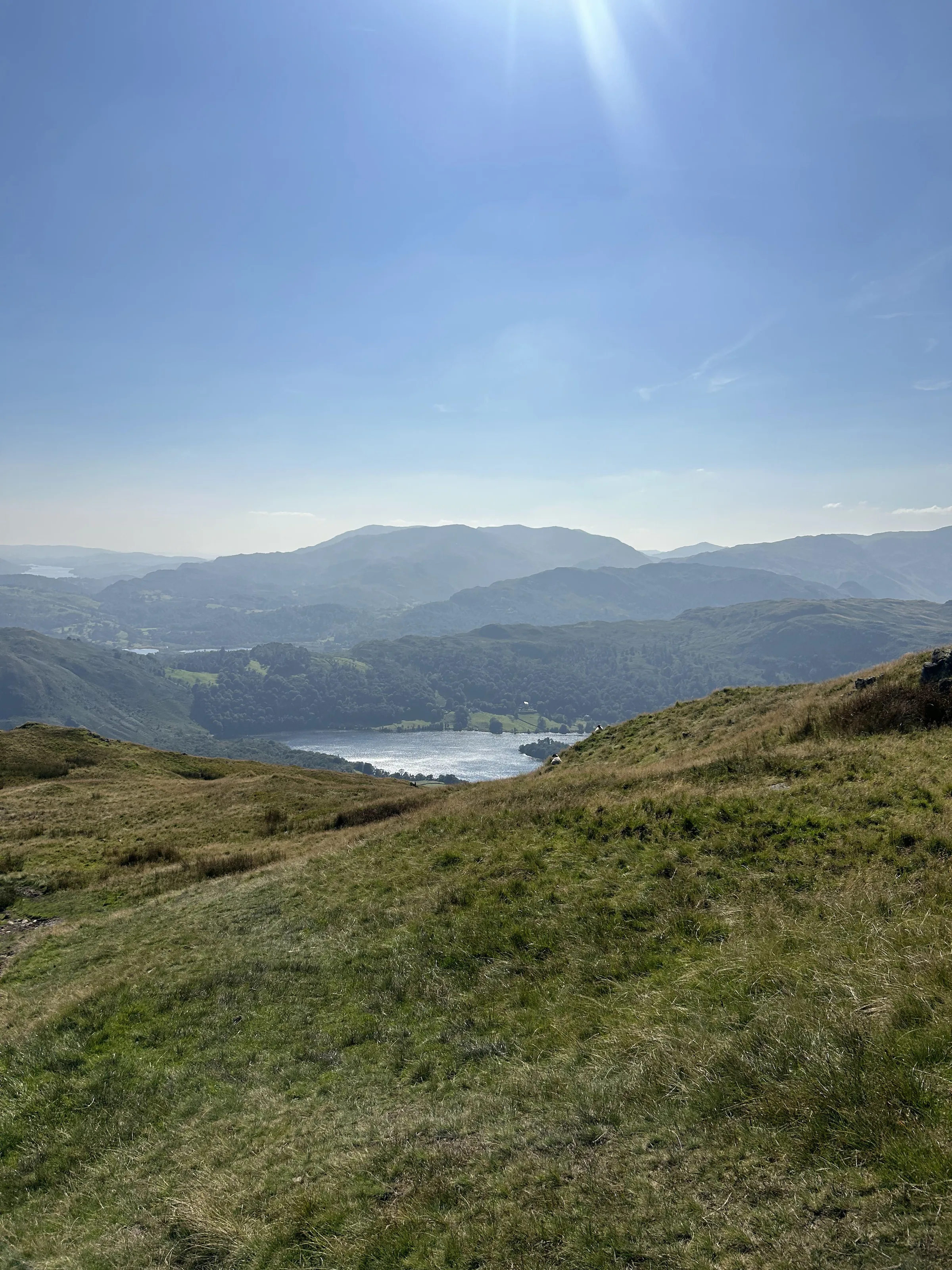
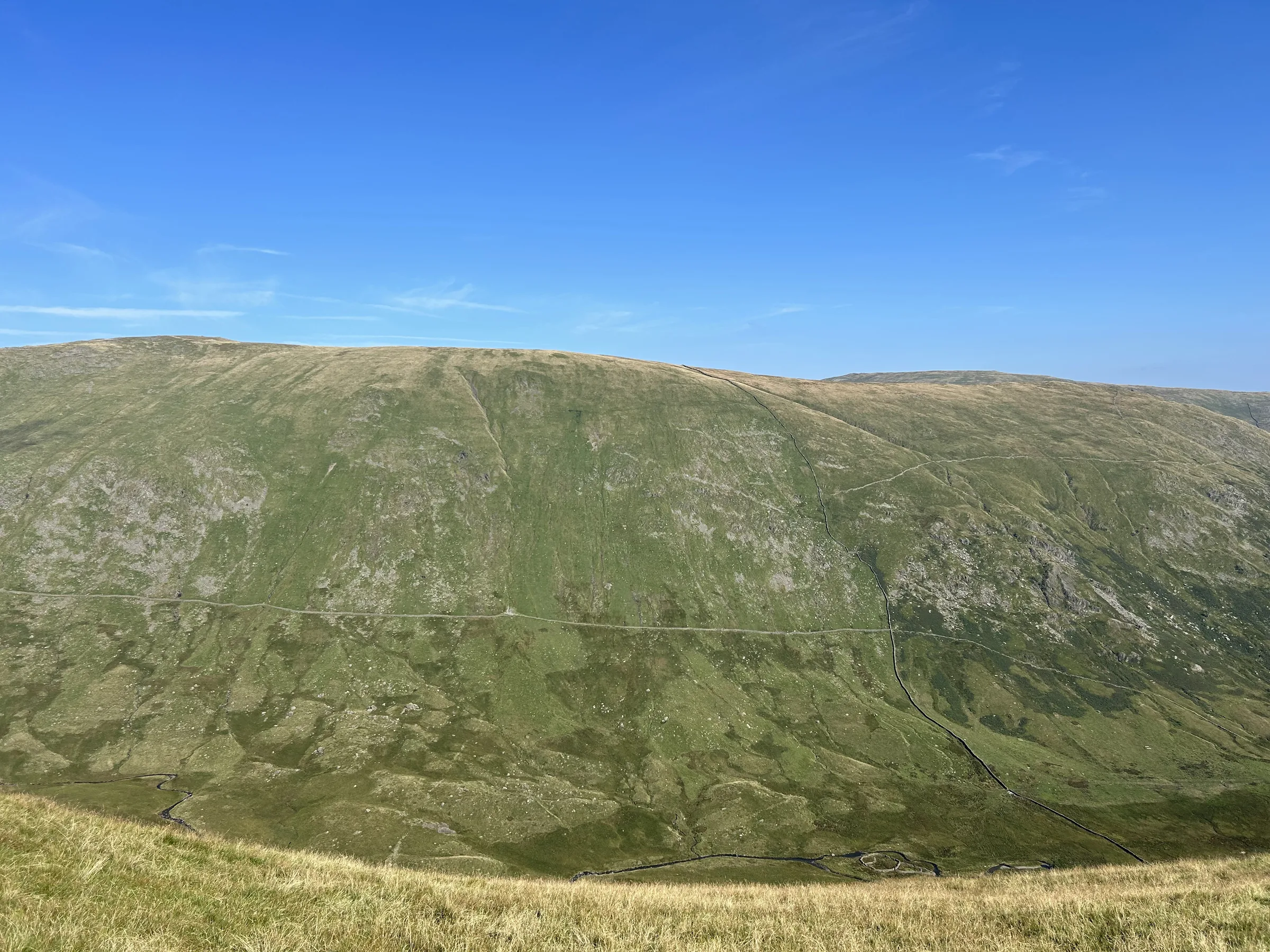
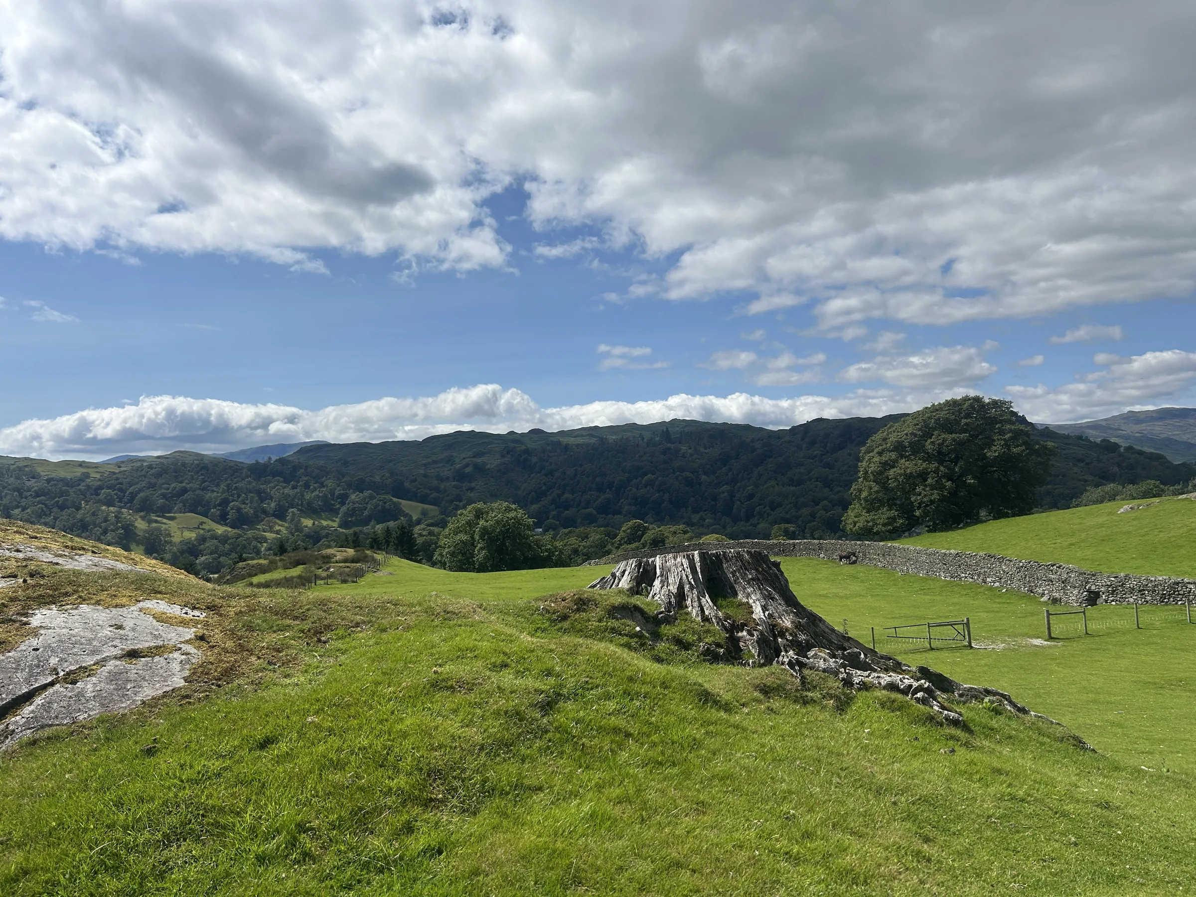
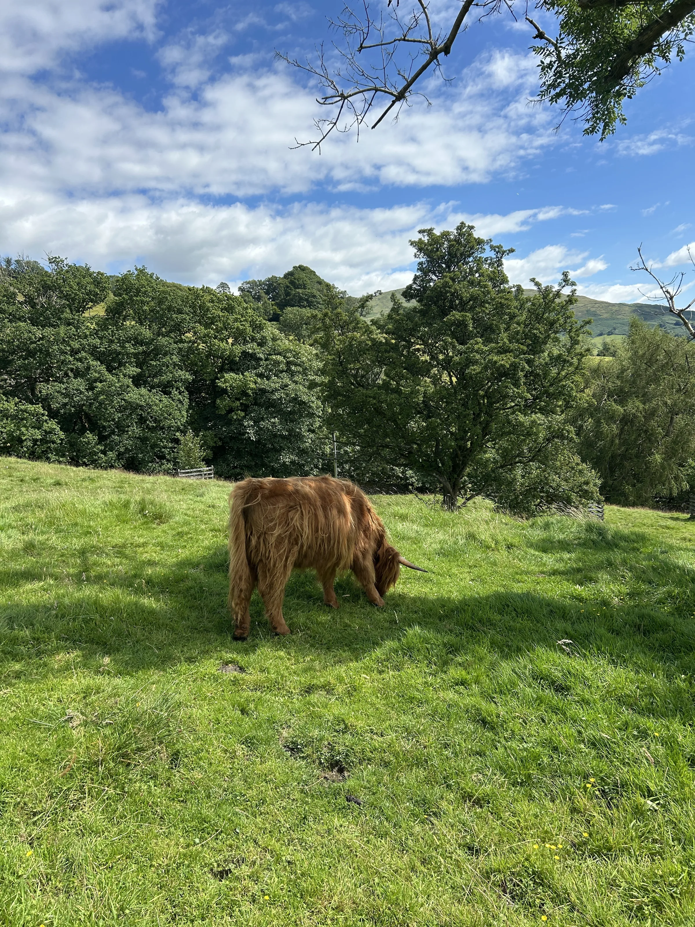
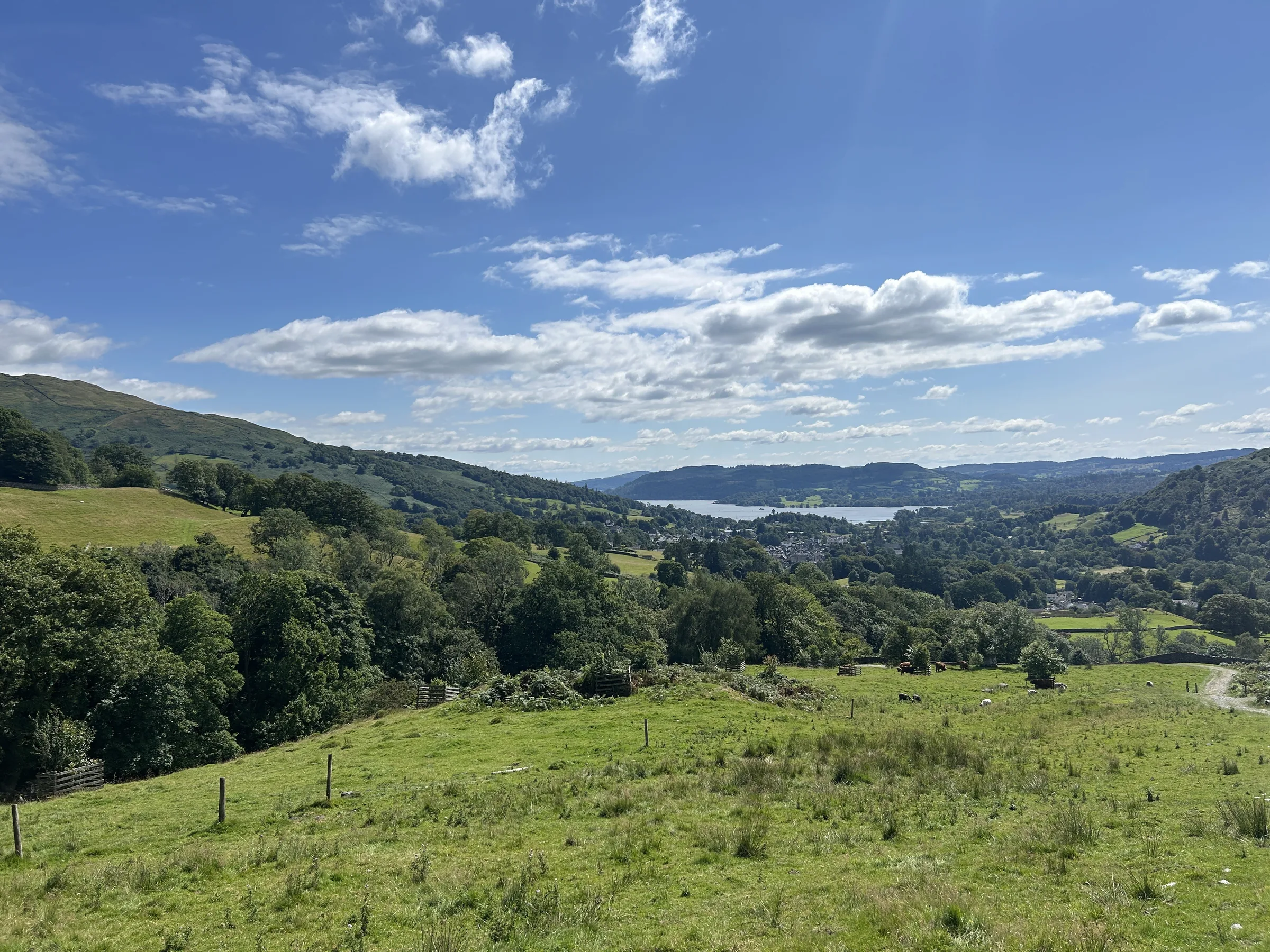
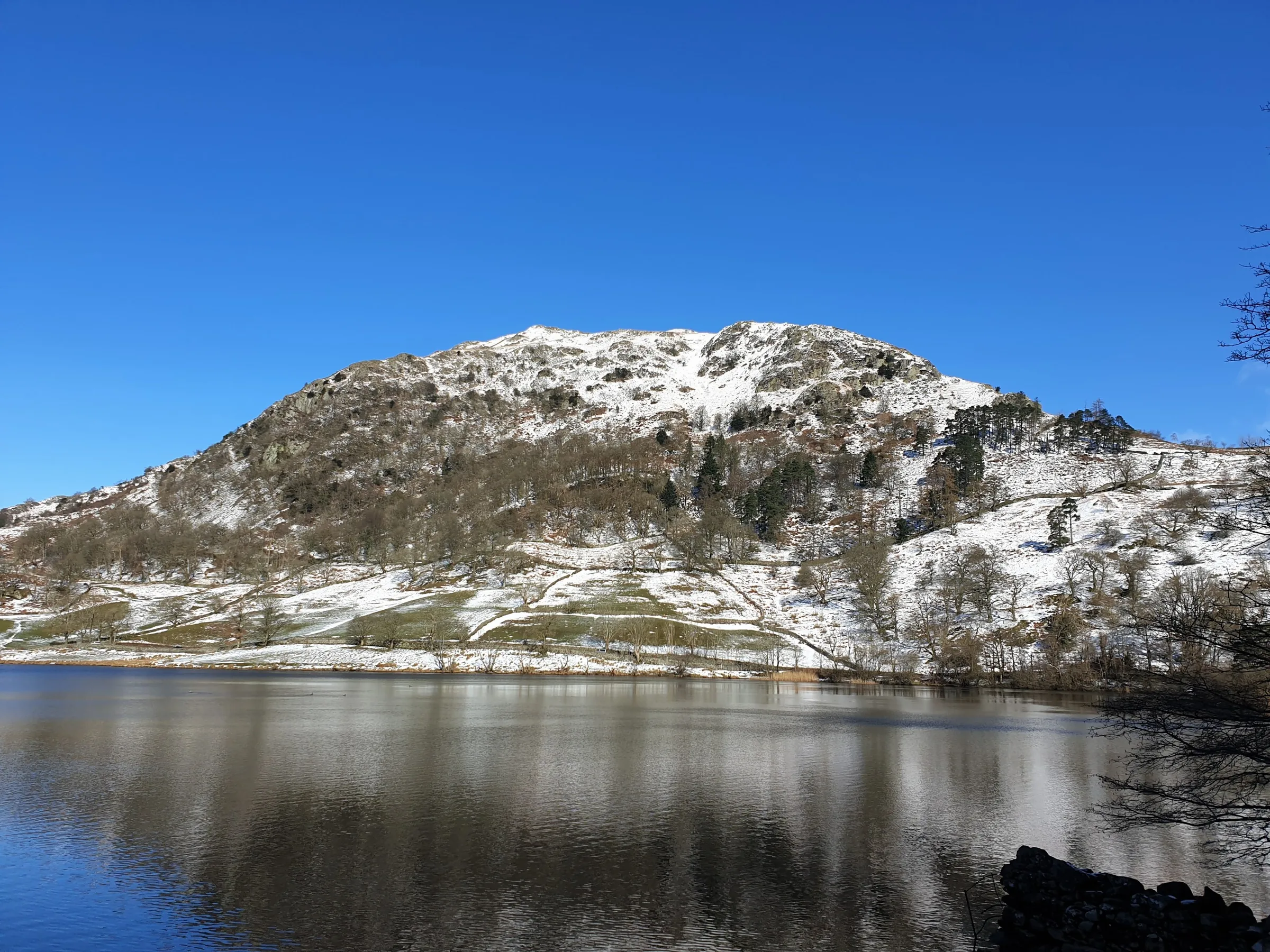
Photos
Photo credits
Photos without a credit are our own. These are used under Creative Commons licences; thank you to the photographers.
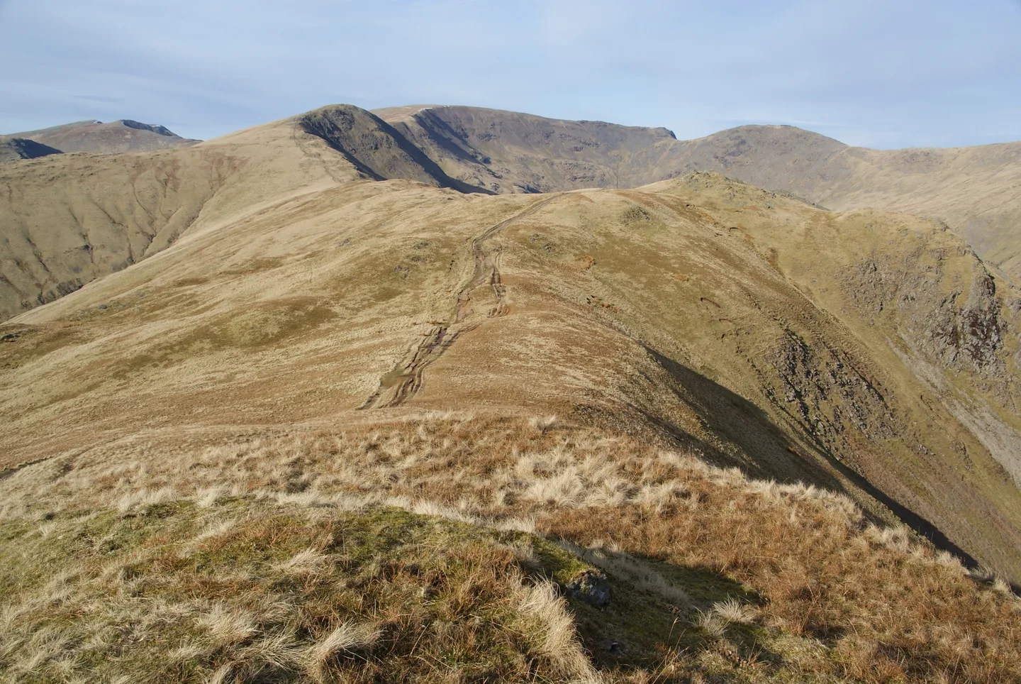
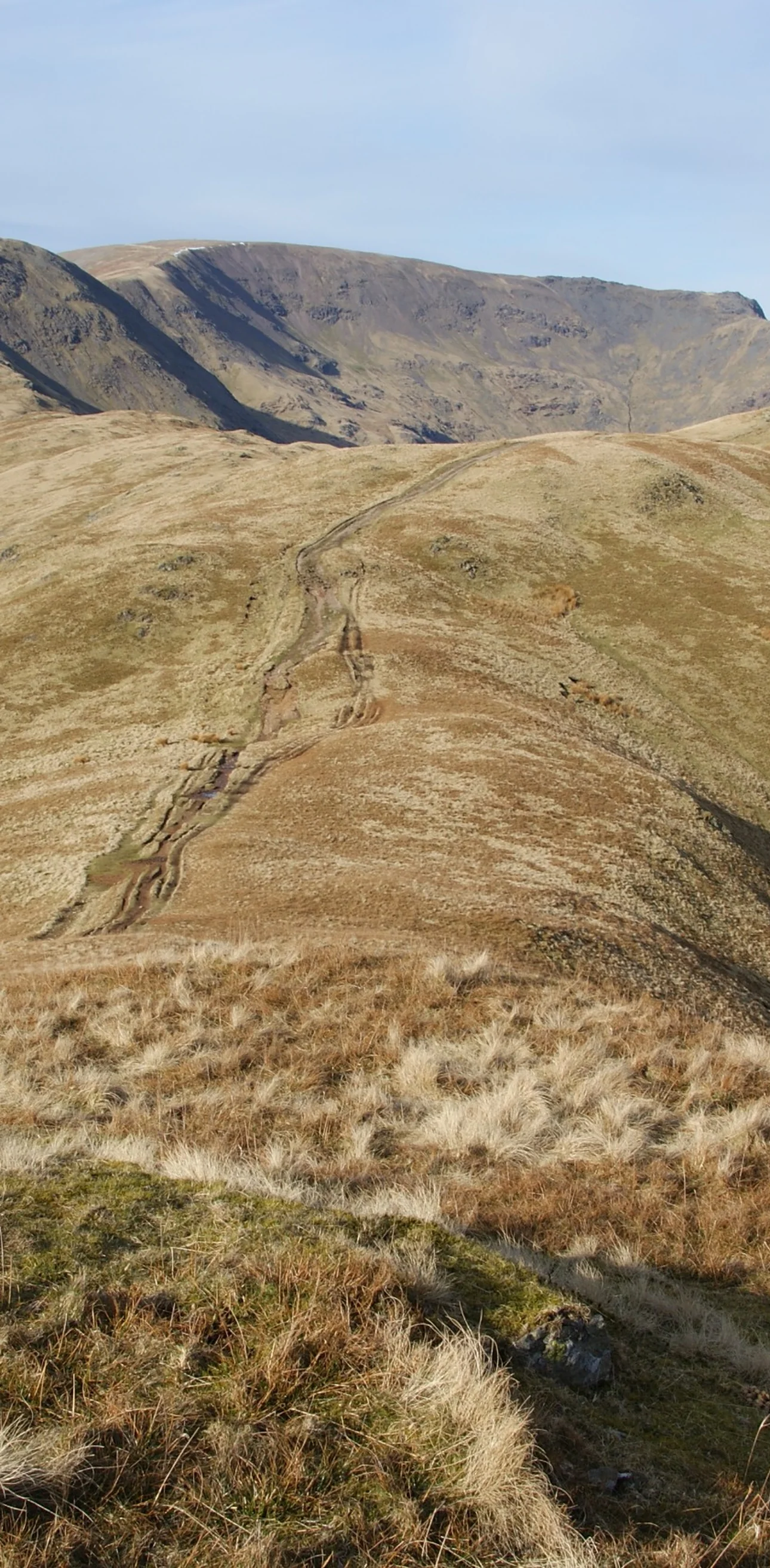
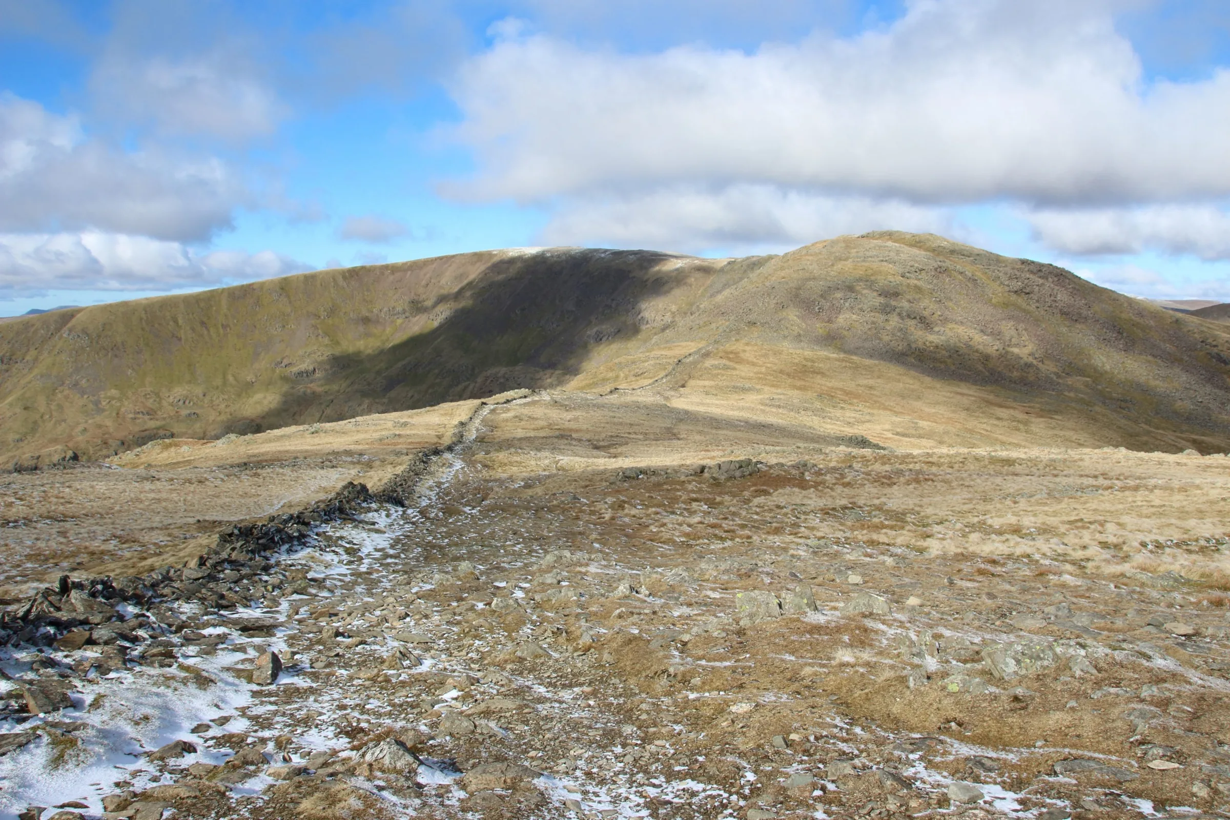
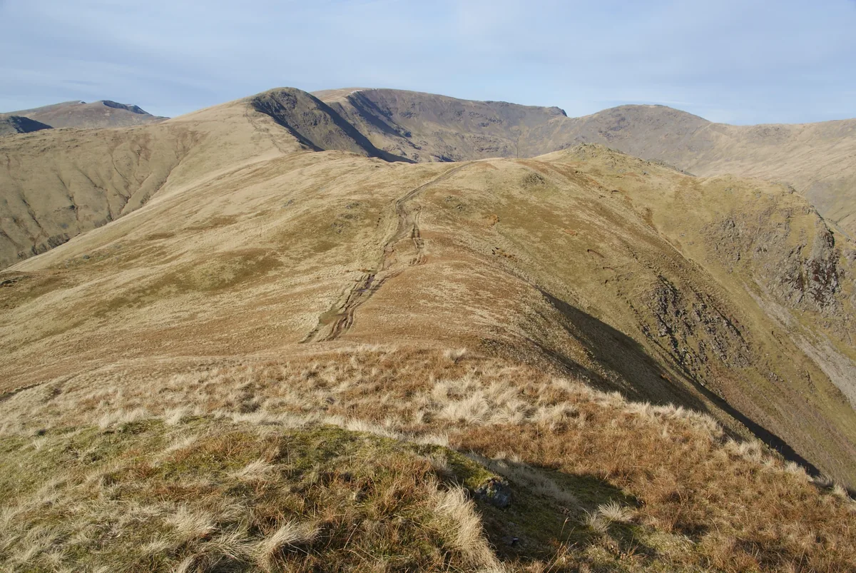 Looking north along the horseshoe from Heron PikeHero photo · by Bill Boaden, Wikimedia Commons (Geograph)Original photoCC BY-SA 2.0 licence
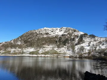 Nab Scar over Rydal Waterby Oscar Taylor, Wikimedia Commons (Geograph)Original photoCC BY-SA 2.0 licence
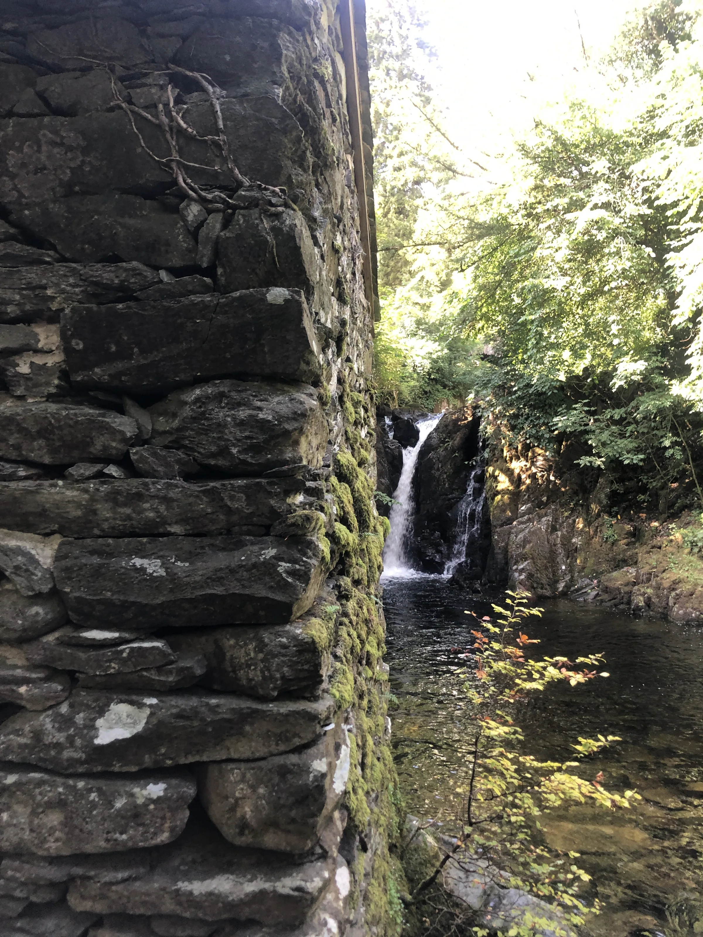
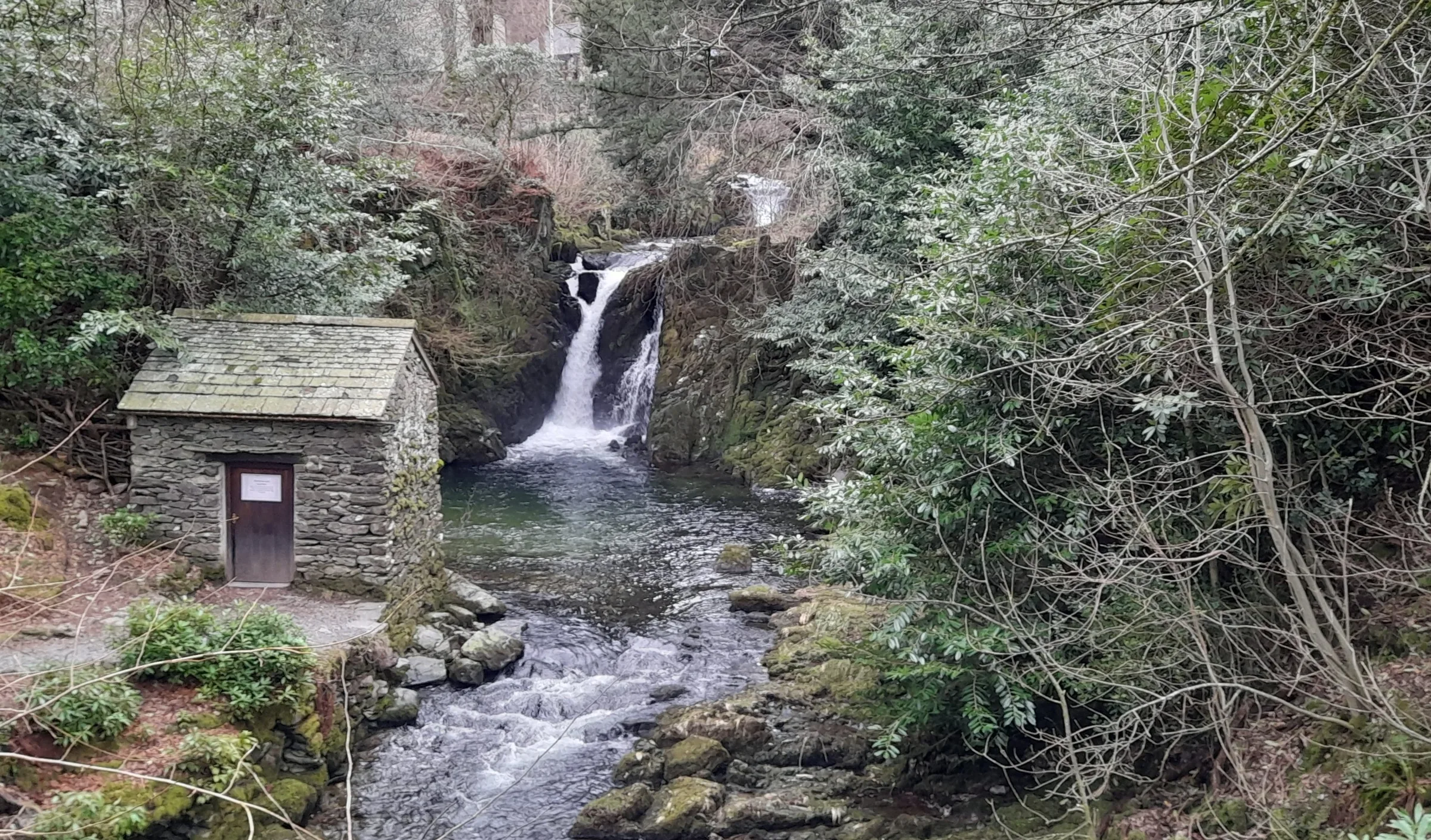
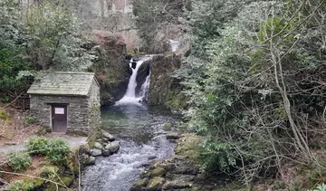 The Grot, Rydal Hallby Colin Kinnear, Wikimedia Commons (Geograph)Original photoCC BY-SA 2.0 licence
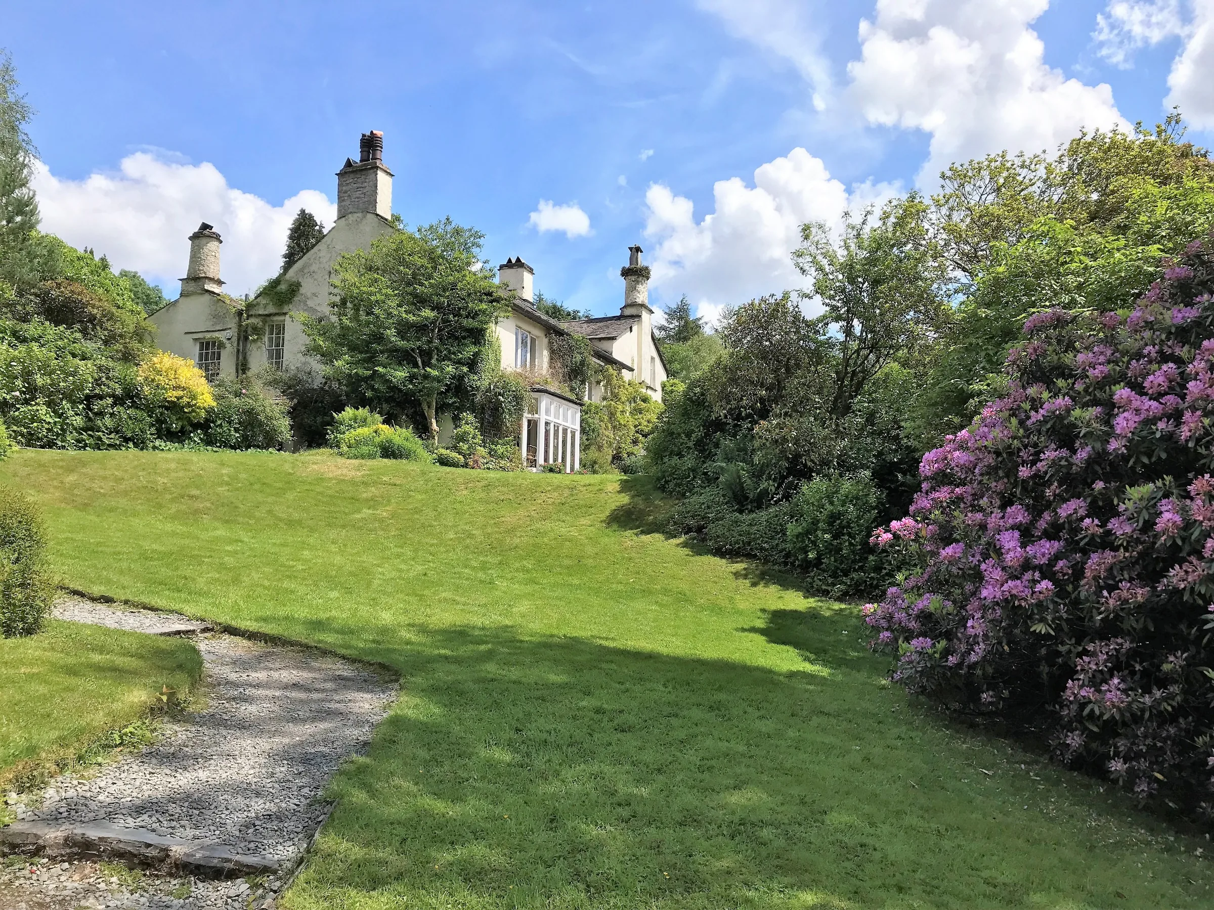
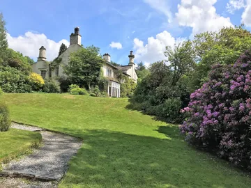 Rydal Mount and its gardensby Richard Humphrey, Wikimedia Commons (Geograph)Original photoCC BY-SA 2.0 licence
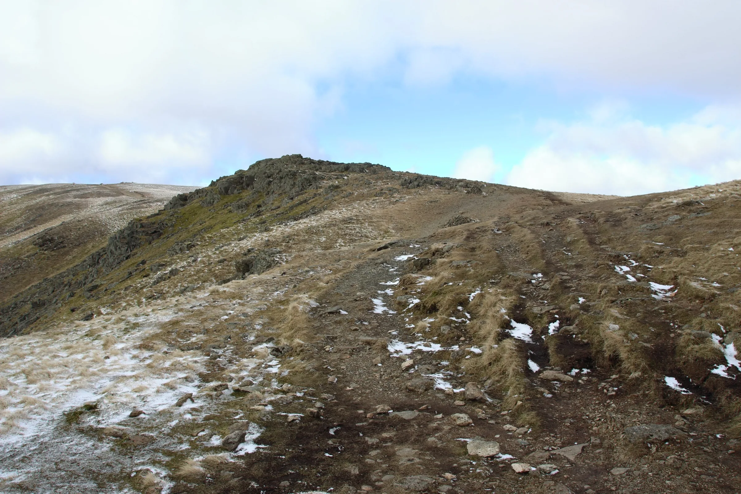
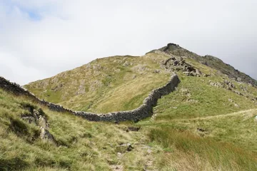 The path up to High Pikeby Bill Boaden, Wikimedia Commons (Geograph)Original photoCC BY-SA 2.0 licence
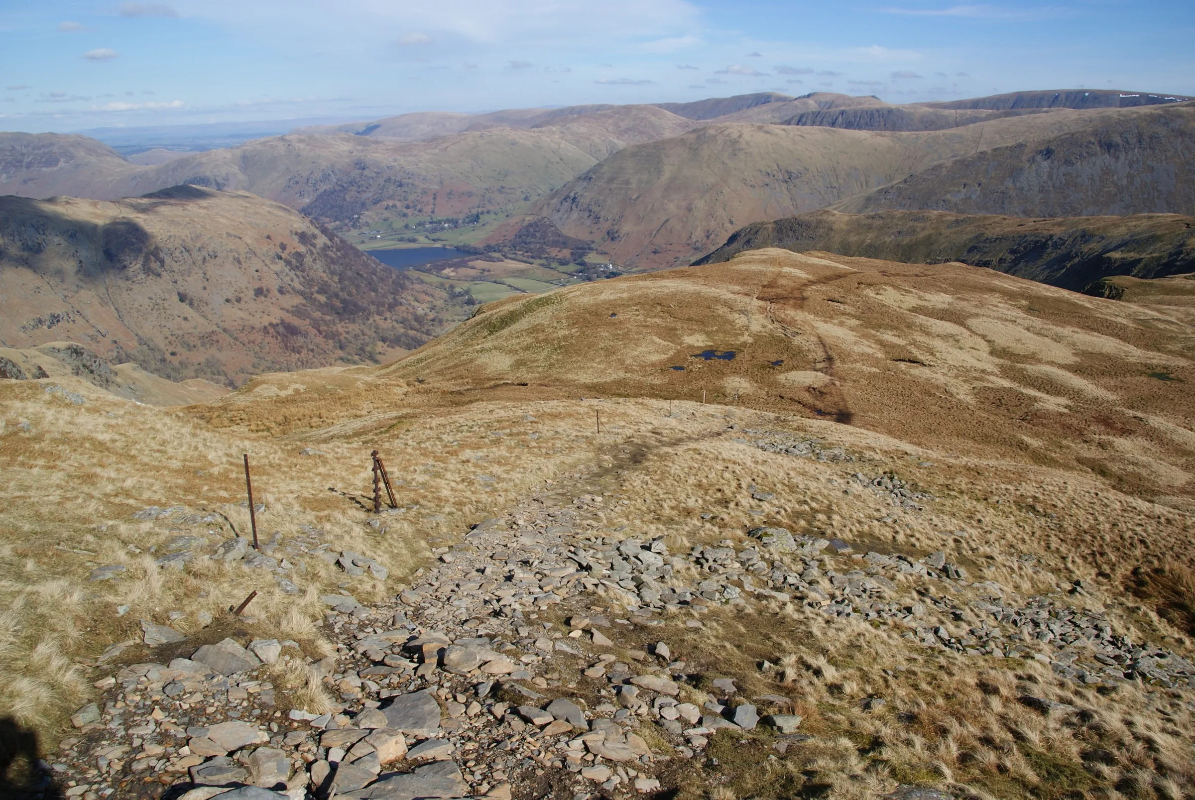
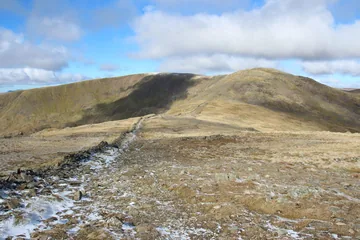 Path between Dove Crag and Hart Cragby Graham Robson, Wikimedia Commons (Geograph)Original photoCC BY-SA 2.0 licence
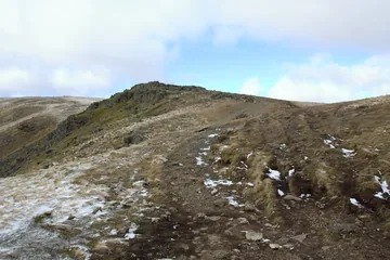 Path between Hart Crag and Fairfieldby Graham Robson, Wikimedia Commons (Geograph)Original photoCC BY-SA 2.0 licence
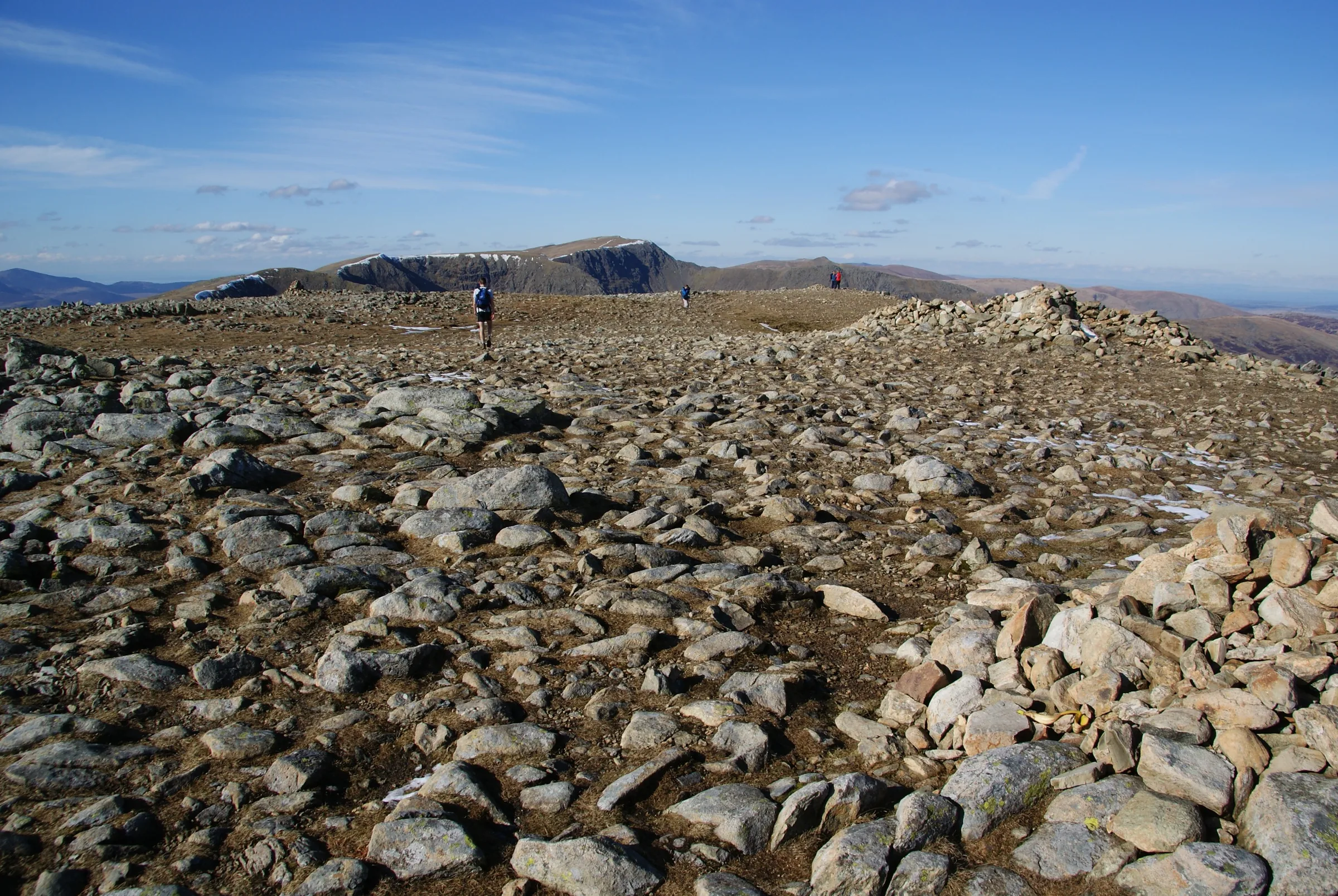
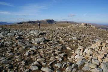 The summit plateau of Fairfieldby Bill Boaden, Wikimedia Commons (Geograph)Original photoCC BY-SA 2.0 licence
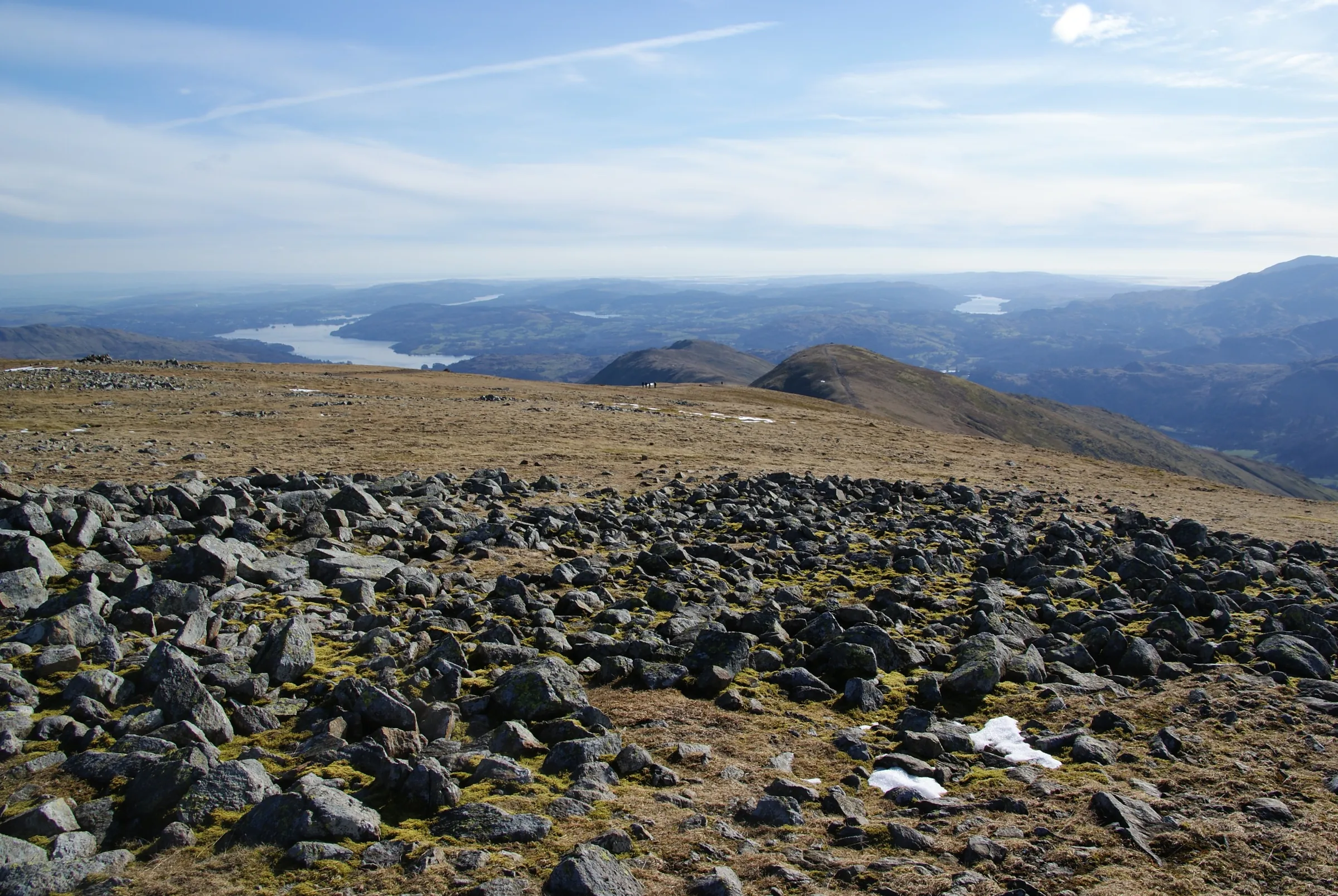
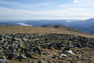 The southern side of the Fairfield summit plateauby Bill Boaden, Wikimedia Commons (Geograph)Original photoCC BY-SA 2.0 licence
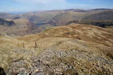 The eastern side of Dove Cragby Bill Boaden, Wikimedia Commons (Geograph)Original photoCC BY-SA 2.0 licence
Hints & Tips
Follow the Wall
A high dry stone wall runs along the eastern arm for nearly four miles, from Low Sweden Bridge to the slopes of Hart Crag, so the first half is easy to follow even in cloud. Keep the wall close and you won't go far wrong until Fairfield.
Fairfield's Flat Top
The summit of Fairfield is a wide, flat, stony plateau dotted with cairns, with steep crags to the north and west. In mist it's easy to set off the wrong way, so check the route on your phone before you leave the top and make sure you're on the ridge heading south for Great Rigg.
Steep Down Nab Scar
The path off Nab Scar drops about 350m to Rydal in under a mile, at the end of a long day, when your legs are tired. Take your time, and walking poles will save your knees.
A Sting in the Tail
Just when you think the climbing is over, the last mile from Rydal climbs again, about 85m, to get back to Low Sweden Bridge. It's short, but keep a little in reserve for it.
Interesting Facts
General
Eight in One Loop
The horseshoe takes in all eight Wainwrights round the valley of Rydal Beck: Low Pike, High Pike, Dove Crag, Hart Crag, Fairfield, Great Rigg, Heron Pike and Nab Scar
Wainwright's Way Round
The walk has no agreed direction, but against his usual habit Wainwright advised going anticlockwise and starting with Low Pike, just as this route does
Two Tops on Heron Pike
Heron Pike's northern top, sometimes called Rydal Fell, is higher than the summit Wainwright chose, and this route crosses both
A Race Round the Ridge
The Fairfield Horseshoe Fell Race, first organised in 1966, is held each May over a course of more than 14 kilometres
Where Wainwright Began
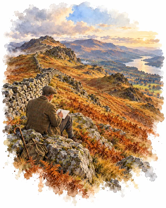
Dove Crag, the third summit on this walk, has a special place in fellwalking history. On 9 November 1952 Alfred Wainwright sat down to start the first page of his Pictorial Guide to the Lakeland Fells, and the fell he began with was Dove Crag. In the weeks before, he had climbed it from Ambleside, making notes and taking photographs.
That first chapter grew into seven books covering 214 fells, which he worked on at about a page an evening for well over a decade. Book One, The Eastern Fells, came out in 1955 and includes every fell on this horseshoe. The guides have been in print ever since and have sold more than two million copies.
Wainwright counted this round among his favourite ridge walks. He called it a great horseshoe of grassy slopes below a consistently high skyline, and, against his usual practice, advised walkers to go anticlockwise and start with Low Pike, the way this route goes. Even little Low Pike got its own chapter, because he felt it stood high enough above Scandale and Rydal Beck to feel much loftier than it is.
The Poet Below Nab Scar
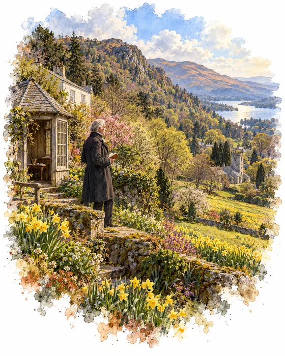
The steep path off Nab Scar comes down right beside Rydal Mount, the house where William Wordsworth lived from 1813 until he died in 1850. The family had outgrown Dove Cottage and then Allan Bank in Grasmere before moving here, and his sister Dorothy stayed on at Rydal Mount until her death in 1855. Wordsworth laid out the garden himself, and high in the grounds he built a simple writing hut, little more than a bench with a roof, where he did much of his writing.
Grief left its mark here too. When his daughter Dora died in 1847, Wordsworth planted hundreds of daffodils in her memory in a field beside St Mary's Church in Rydal, which is still known as Dora's Field. Mary Henderson, his great-great-granddaughter, bought Rydal Mount in 1969 and opened it to the public the following year.
Next door, the walk passes Rydal Hall, the old home of the Fleming family. In the late 1660s Daniel Fleming built a small summerhouse in its grounds, called the Grot, to look out on a waterfall on Rydal Beck. Through the 1700s and 1800s it drew a stream of visiting artists and writers: Wordsworth described it in his early poem An Evening Walk, published in 1793, years before he came to live beside it, and Joseph Wright of Derby painted the falls in 1795.
The Grot is well worth a visit. Look out for it near the end of the walk, about 9 miles in: once you're down off Nab Scar and past Rydal Mount, turn into the grounds of Rydal Hall and follow Rydal Beck a short way to the little stone house. Its window frames the falls perfectly, and it's free to visit during the day.
More Hikes
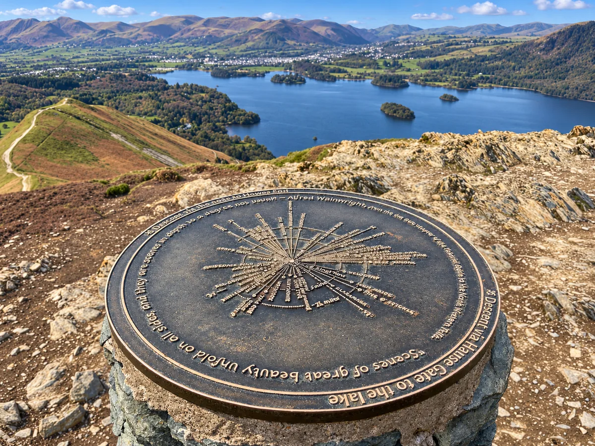 ModerateCatbells3.6 mi · 2–3 hrs · 404m
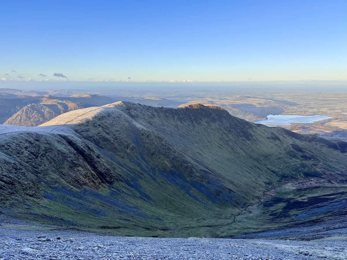 HardSkiddaw6.5 mi · 4–5 hrs · 870m
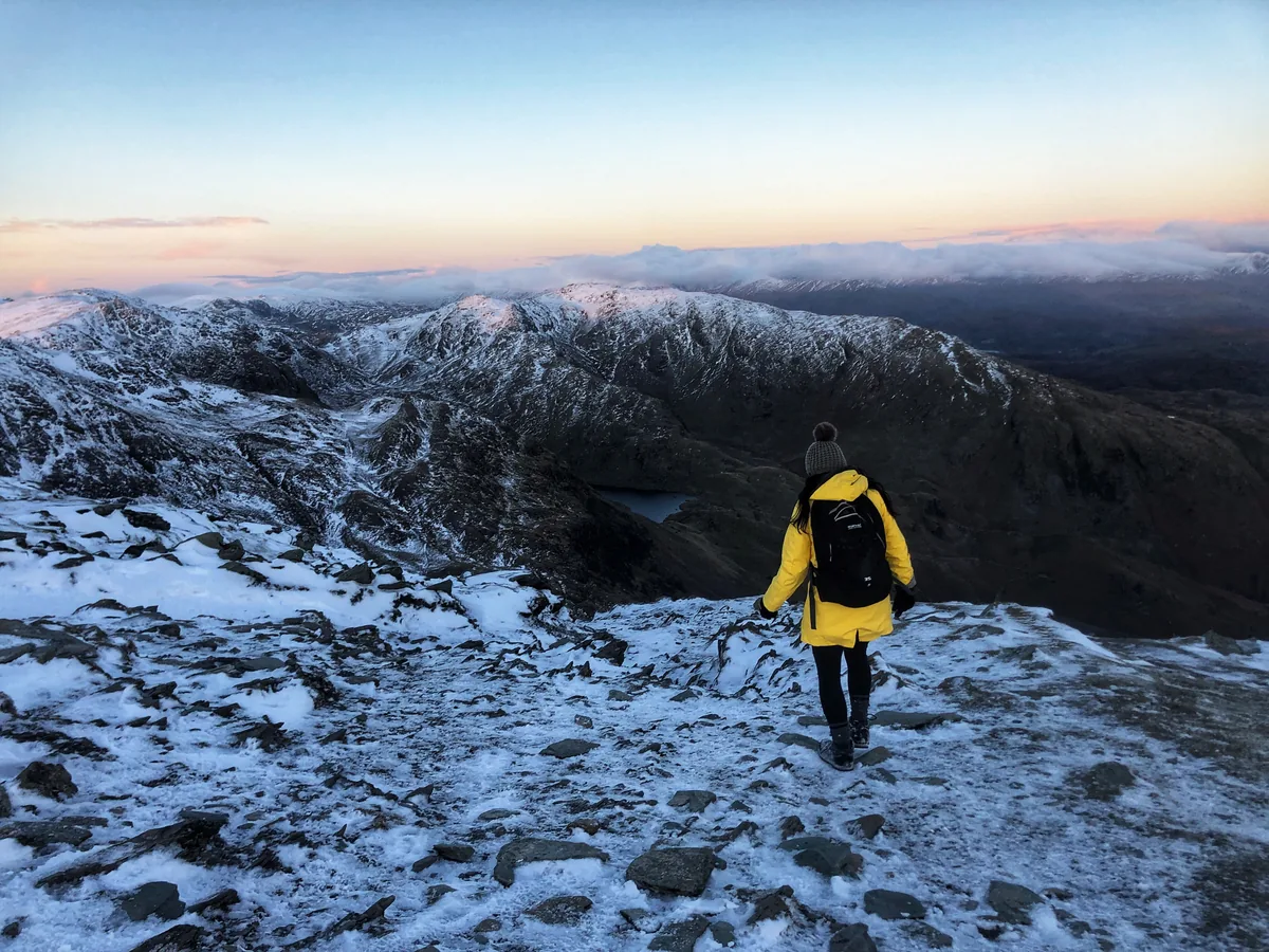 HardOld Man of Coniston4.9 mi · 3–4 hrs · 585m
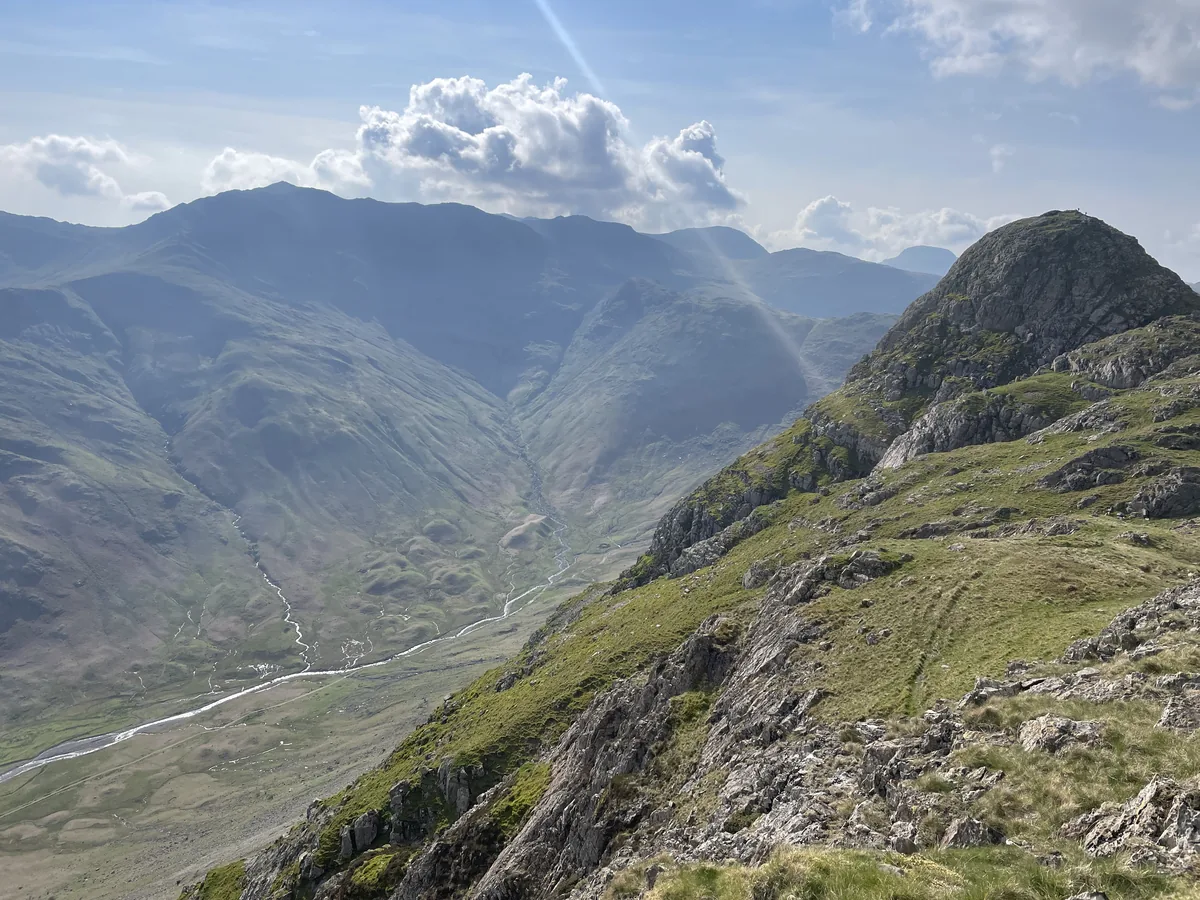 HardPike of Stickle4.1 mi · 3–4 hrs · 710m
 ModerateEasedale Tarn6.9 mi · 4–4½ hrs · 600m
 EasyLoughrigg Fell3.0 mi · 2–2½ hrs · 326m
Subscribe for updates on new hikes and National Parks
One email a month with new hikes and routes. No spam.