



All Hikes
Every hike on The Lost Peak in one place: 40 walks across the Peak District, the Lake District, Snowdonia and the Yorkshire Dales. Each flag on the map marks where a hike starts; zoom in to see the routes, or browse them all A to Z below.
Map key
On the map
- New tabOpen a second map, to compare or keep a find
- ResetBack to the full view
- LayersSwitch between map and satellite
- Drive timesHow long to drive to each hill, without moving the map
- Locate meShow where you are on the map
- Full screenFill the screen with the map
In each pop-up
- Tick offMark it as done (log in)
- HideHide the pop-up to see the route
- FlyoverA 3D flight along the route
- ElevationThe climb, mile by mile
- VideosVideos from the top on YouTube
- Drive timeTap Drive Time on the photo to see how far it is
In a flyover
- Play / pauseStart or stop the flight
- RestartBack to the start of the route
- CameraFollow the walker or see it from above
- ZoomCloser in or further out
- SpeedFaster or slower
- Return to mapLeave the flyover
Our Hikes
No hikes match.
Drive time from you
Uses your location to work out drive times. It isn't saved.
Difficulty
Route length
Highest point
Rating
Route type
Crowds
Signage
Show
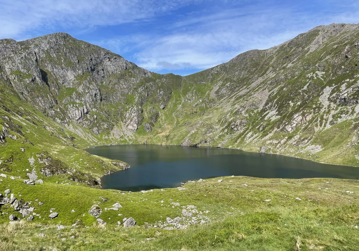
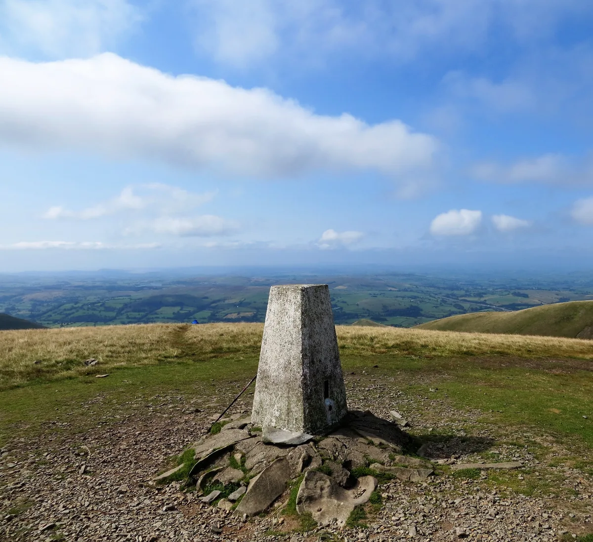
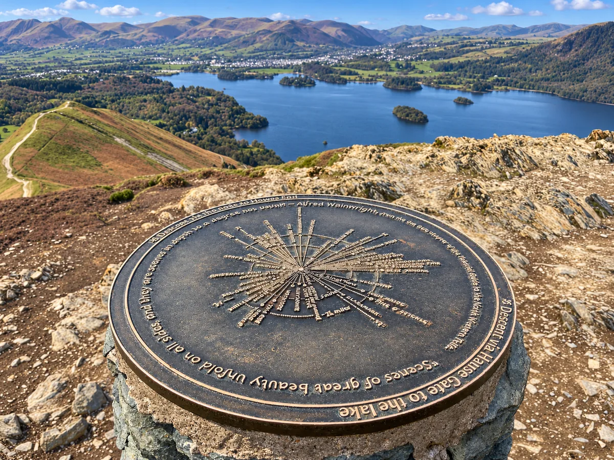
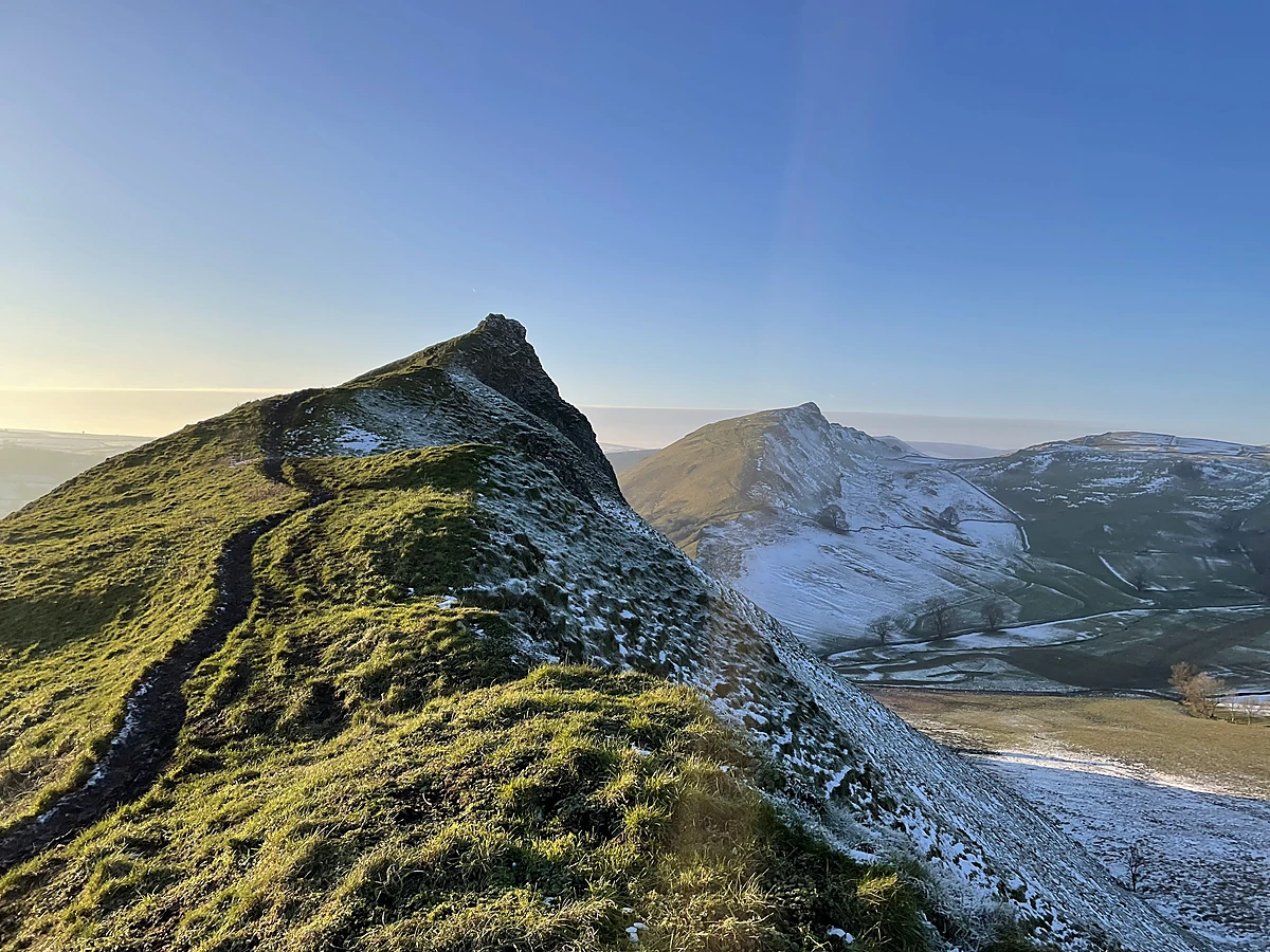
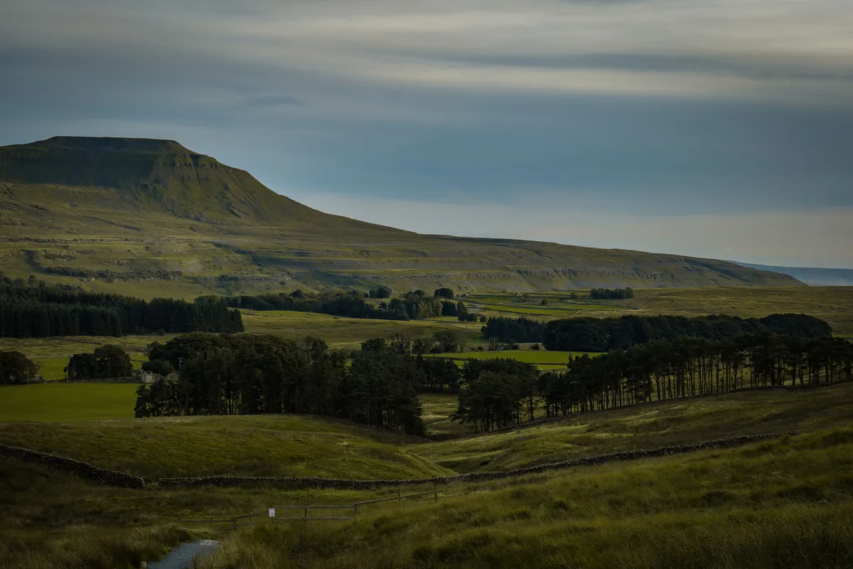
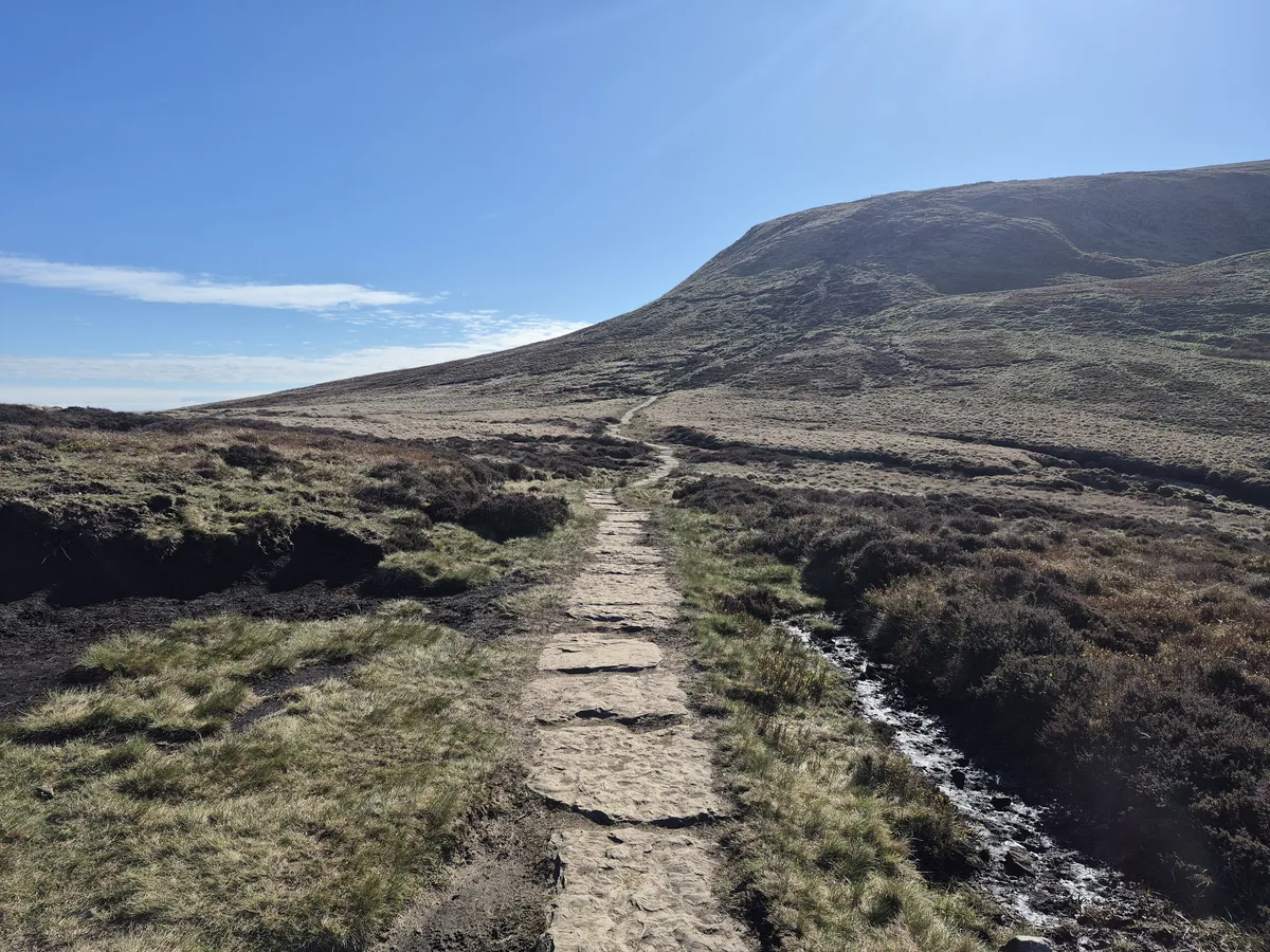
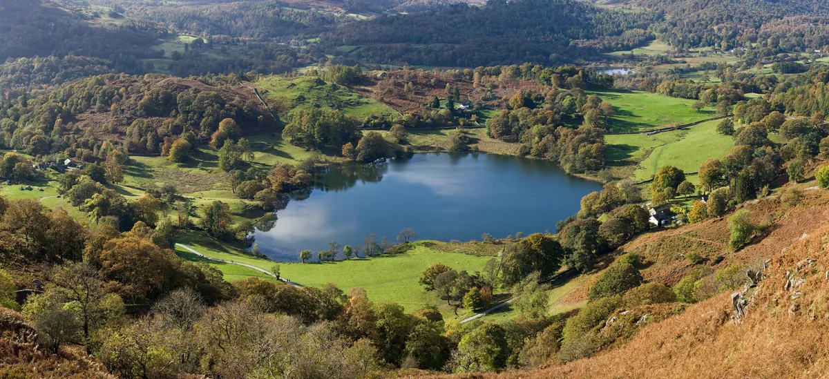
Subscribe for updates on new hikes and National Parks
One email a month with new hikes and routes. No spam.
All Hikes
Every hike on The Lost Peak in one place: 40 walks across the Peak District, the Lake District, Snowdonia and the Yorkshire Dales. Each flag on the map marks where a hike starts; zoom in to see the routes, or browse them all A to Z below.
Map key
On the map
- New tabOpen a second map, to compare or keep a find
- ResetBack to the full view
- LayersSwitch between map and satellite
- Drive timesHow long to drive to each hill, without moving the map
- Locate meShow where you are on the map
- Full screenFill the screen with the map
In each pop-up
- Tick offMark it as done (log in)
- HideHide the pop-up to see the route
- FlyoverA 3D flight along the route
- ElevationThe climb, mile by mile
- VideosVideos from the top on YouTube
- Drive timeTap Drive Time on the photo to see how far it is
In a flyover
- Play / pauseStart or stop the flight
- RestartBack to the start of the route
- CameraFollow the walker or see it from above
- ZoomCloser in or further out
- SpeedFaster or slower
- Return to mapLeave the flyover
Our Hikes
No hikes match.
Drive time from you
Uses your location to work out drive times. It isn't saved.
Difficulty
Route length
Highest point
Rating
Route type
Crowds
Signage
Show
Subscribe for updates on new hikes and National Parks
One email a month with new hikes and routes. No spam.
Photo credits
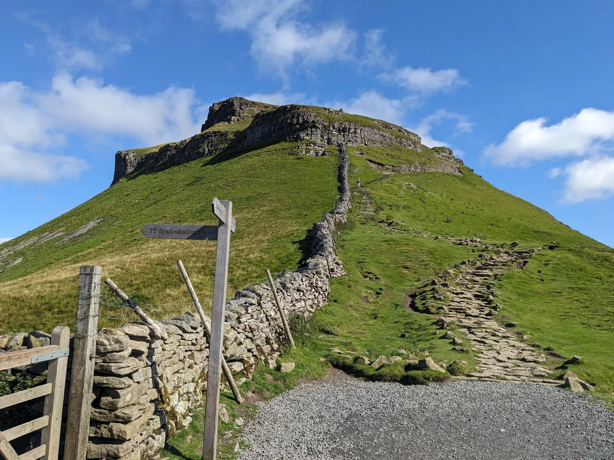
- The path up Pen-y-ghent from BrackenbottomTamsintj, CC BY-SA 4.0
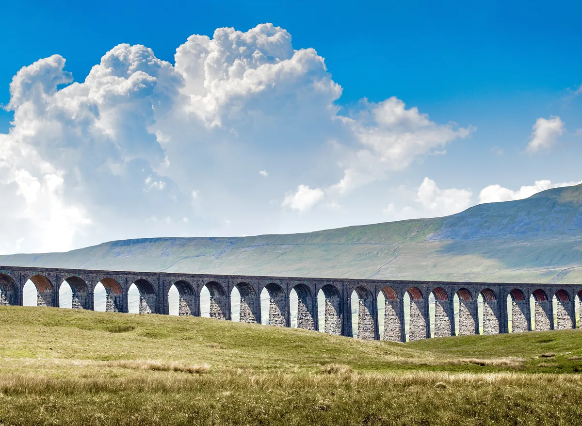
- IngleboroughVintage Laka, Pexels licence
- Moel SiabodJulie Turner-Adkin, Pexels licence
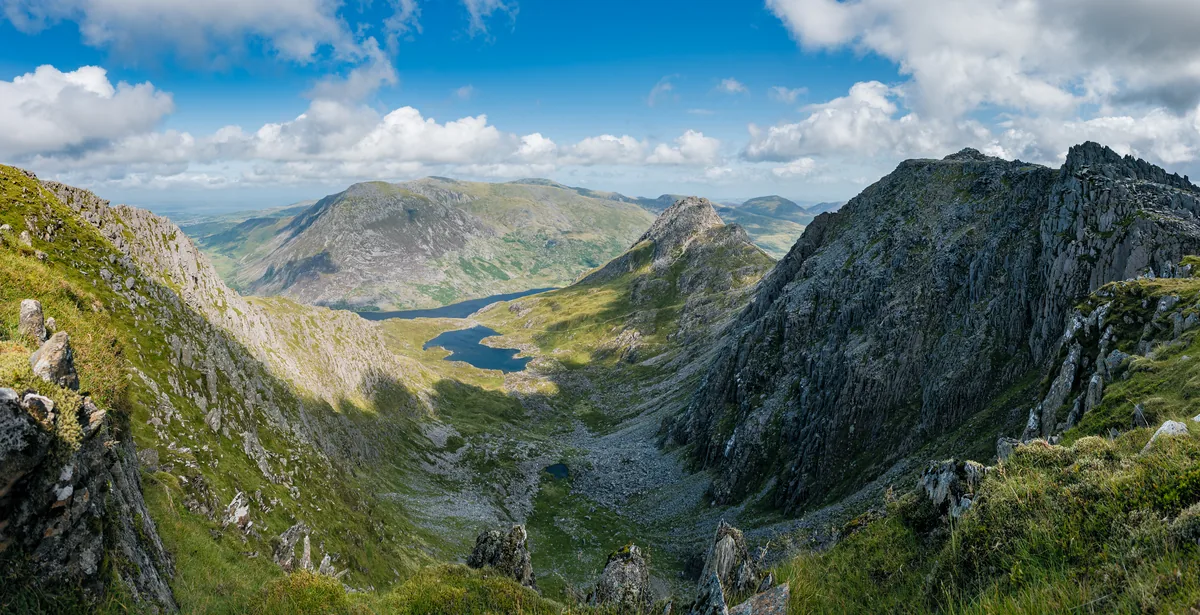
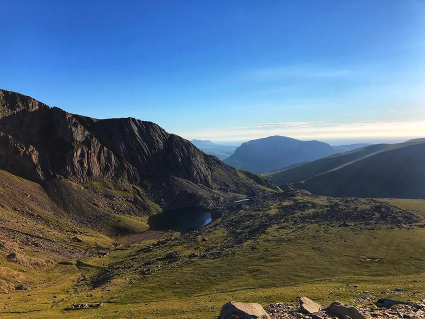
- Llyn Bochlwyd and Y GribinJulian Herzog, CC BY 4.0
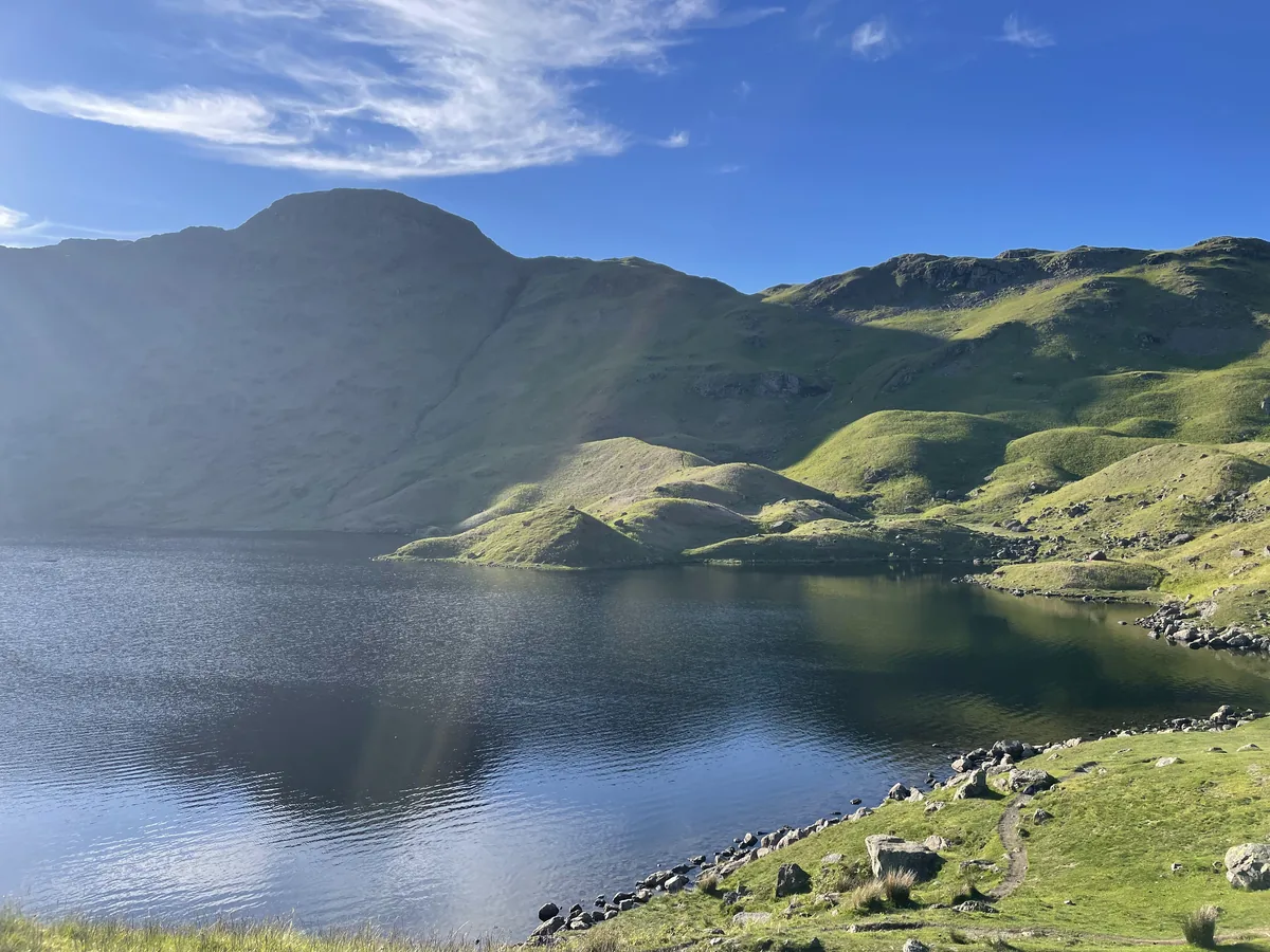
- Llyn Cau under the crags of Cadair IdrisChris Thomas-Atkin, CC BY-SA 2.0
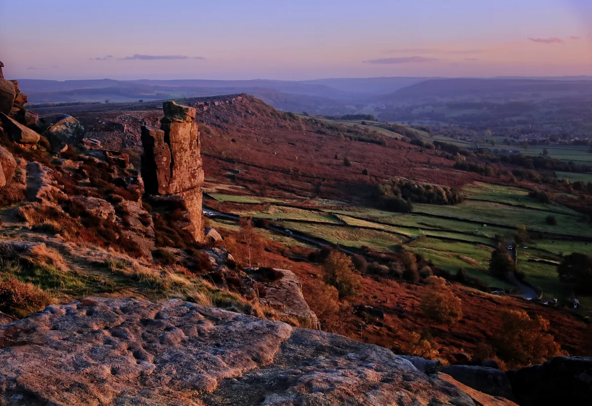
- Autumn evening on Curbar EdgeAndy Stephenson, CC BY-SA 2.0
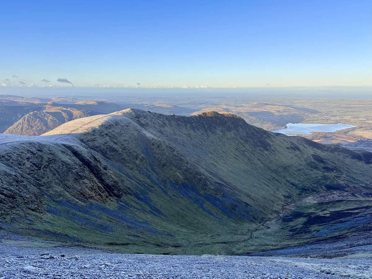
- Longside Edge and Ullock Pike from the slopes of SkiddawIain Lees, CC BY-SA 2.0
- Loughrigg Tarn from the fellDavid Iliff (Diliff), CC BY-SA 3.0
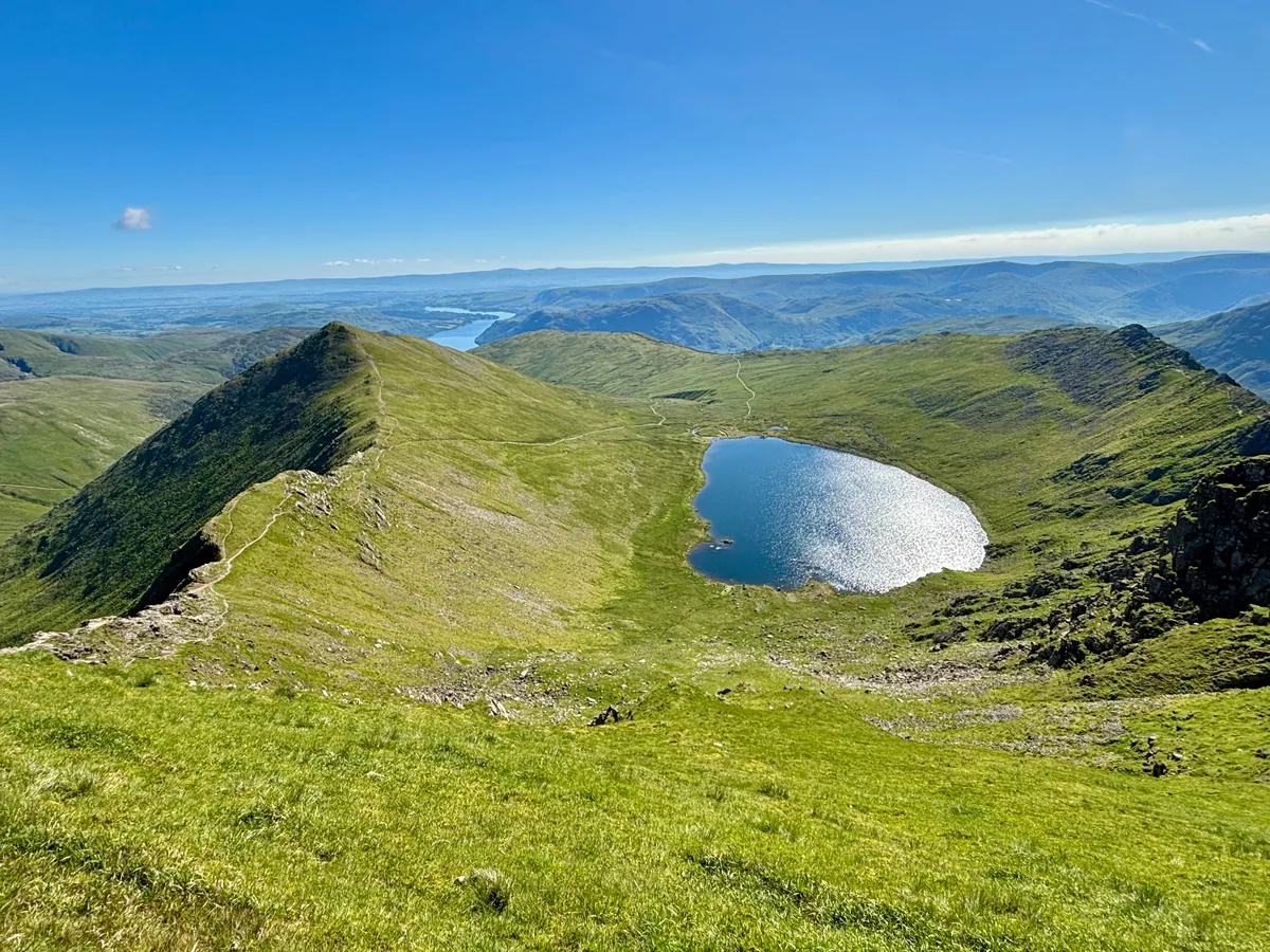
- Red Tarn and Catstycam from the summit of HelvellynIain Lees, CC BY-SA 2.0
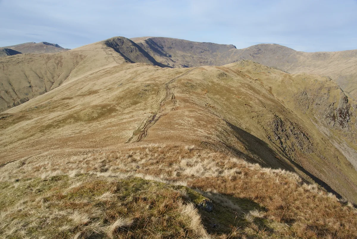
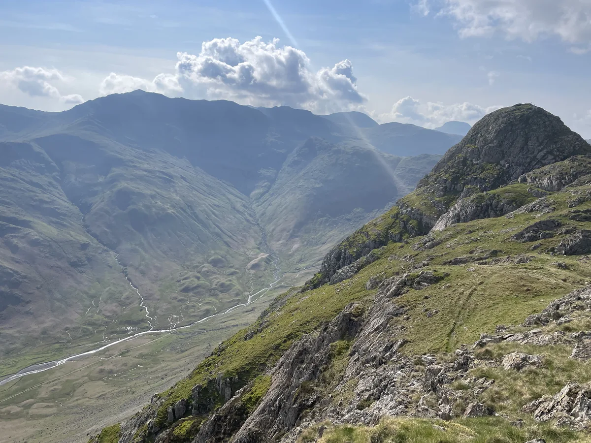
- Looking north along the horseshoe from Heron PikeBill Boaden, CC BY-SA 2.0
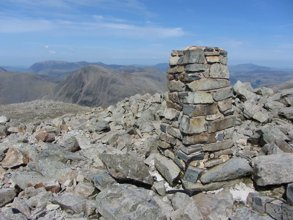
- The trig point and summit cairn on Scafell PikeGareth James, CC BY-SA 2.0
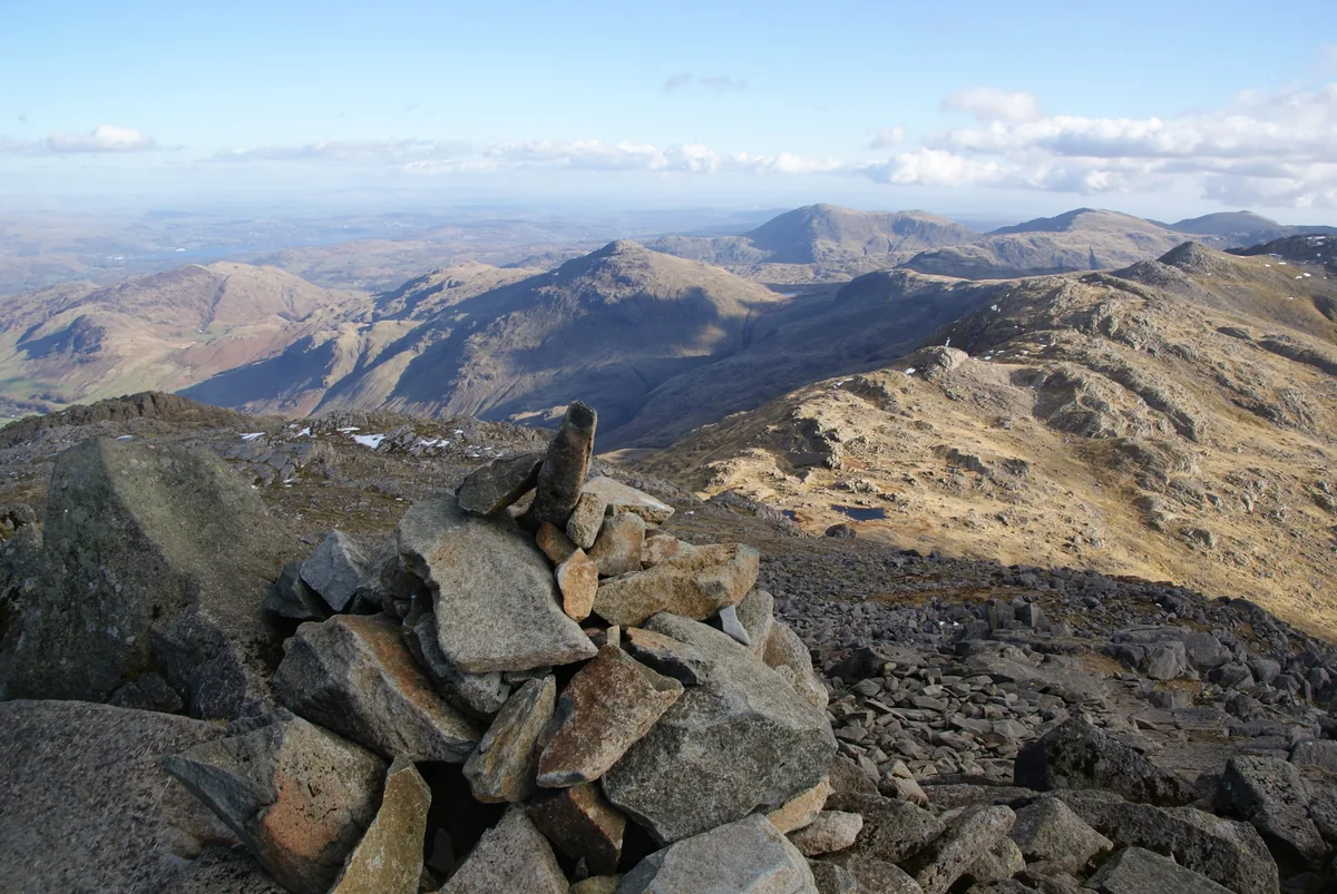
- The summit cairn on BowfellBill Boaden, CC BY-SA 2.0
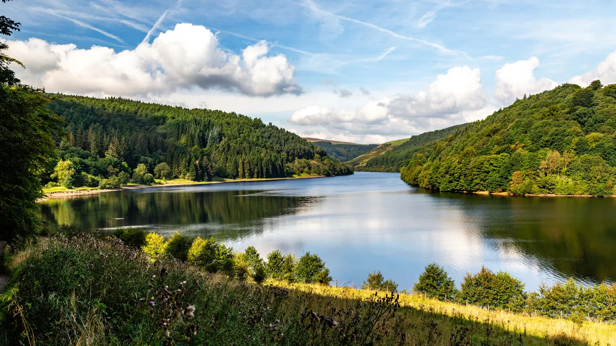
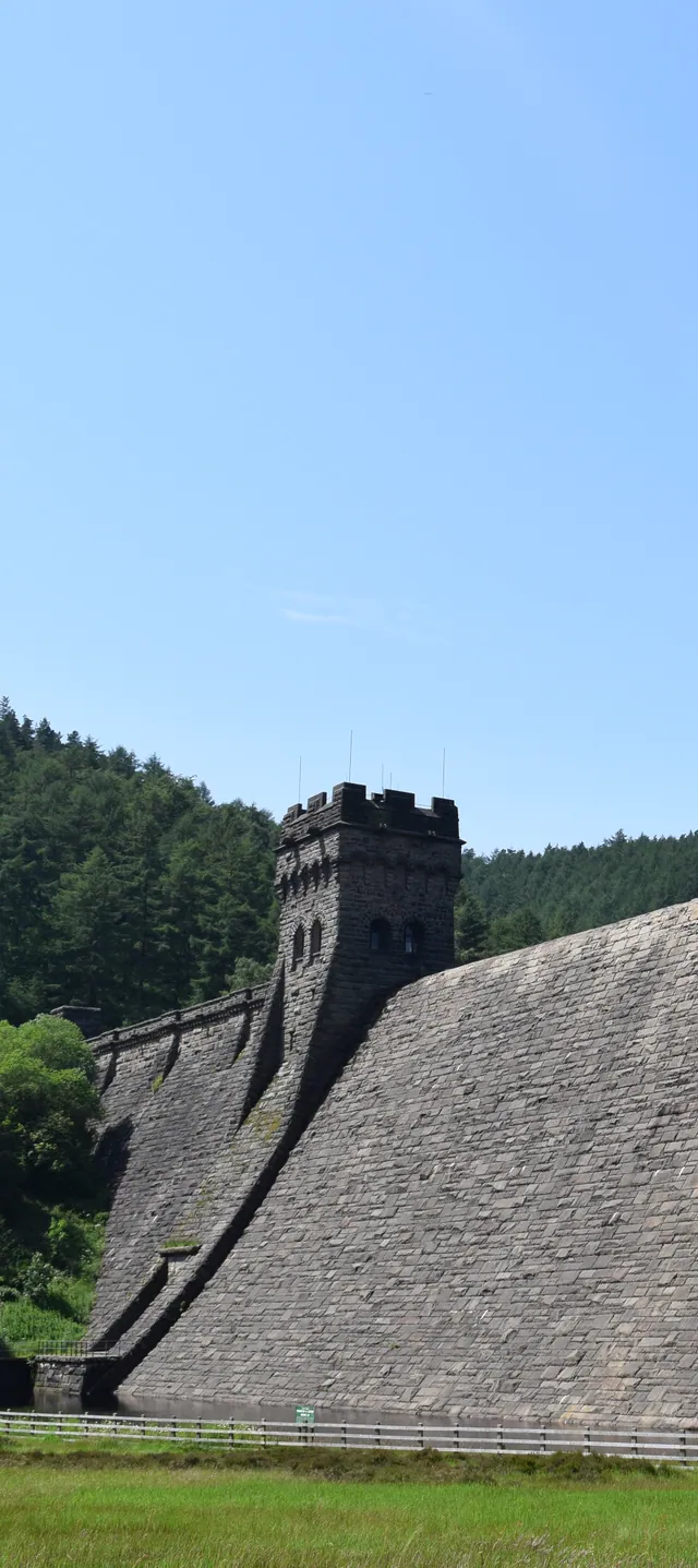
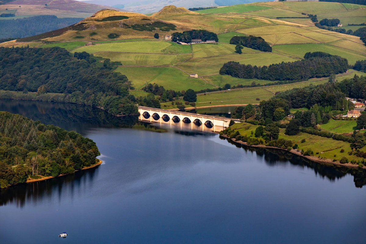
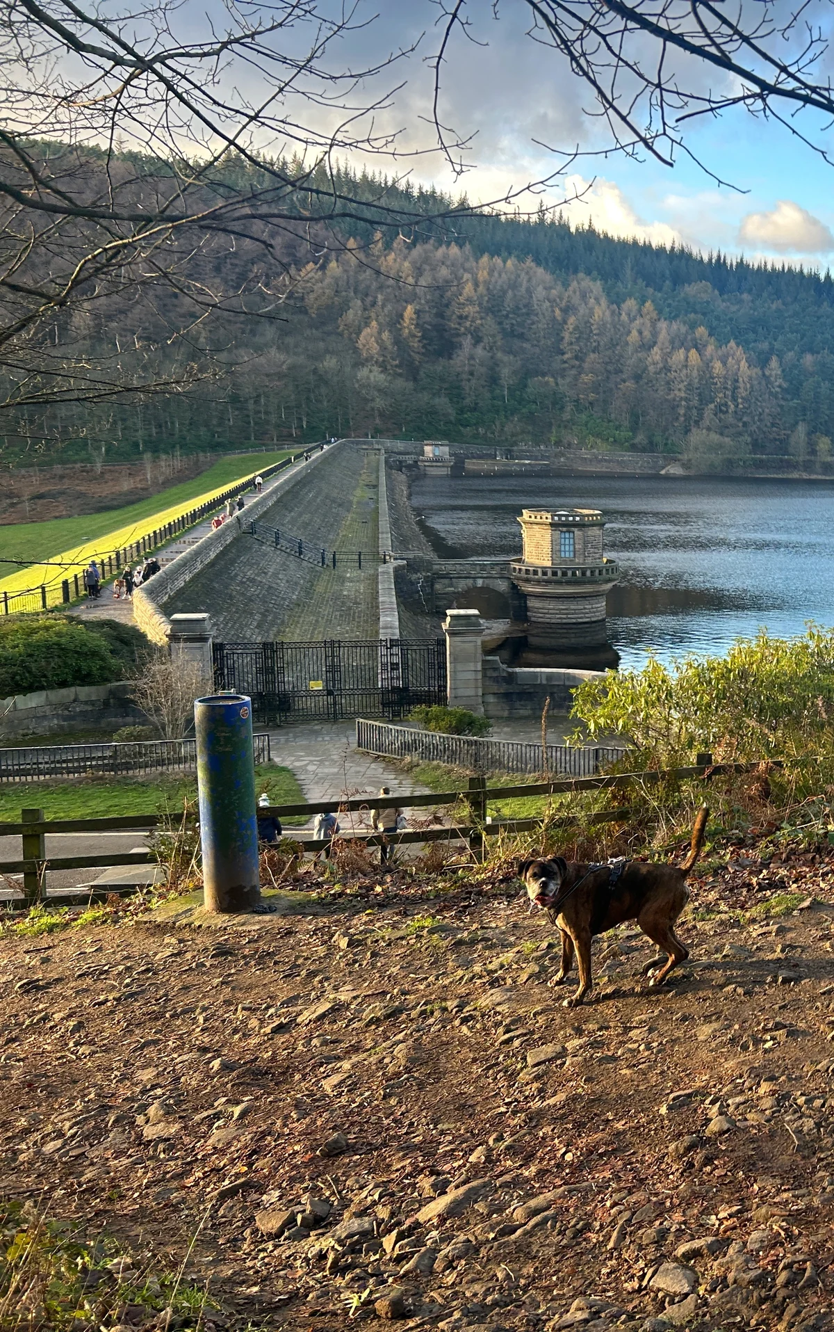
- Ladybower ReservoirPeter McDermott, CC BY-SA 2.0
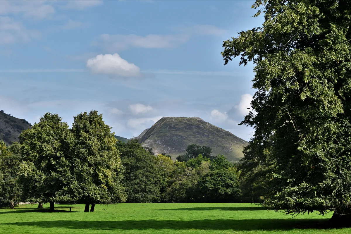
- Thorpe Cloud from Ilam ParkMichael Garlick, CC BY-SA 2.0
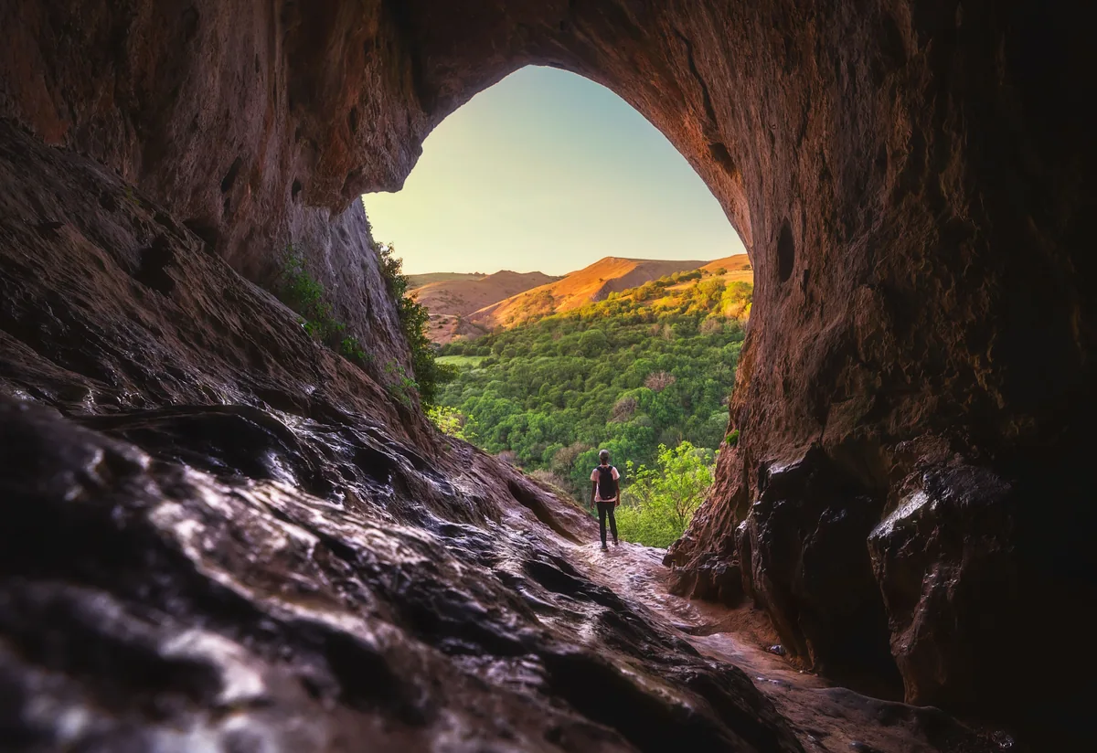
- Thor's Cave above the Manifold ValleyIankelsall1, CC BY-SA 4.0
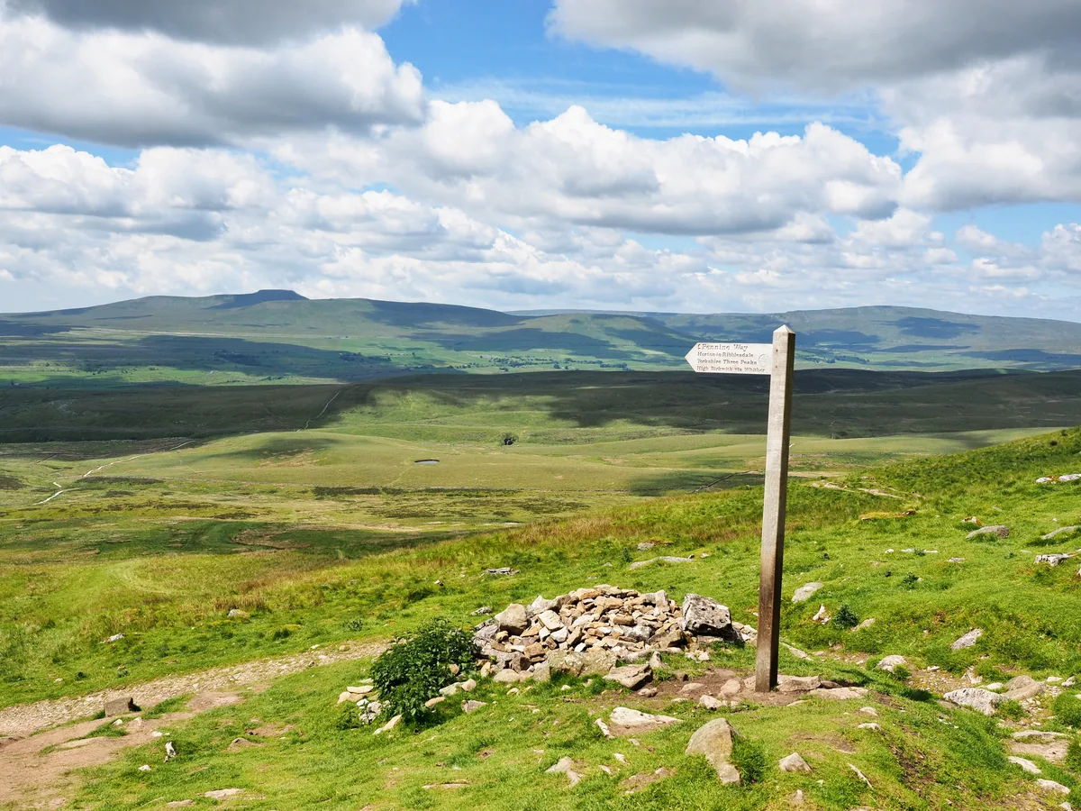
- The Three Peaks from Pen-y-ghentKreuzschnabel, CC BY-SA 3.0
- The summit cairn on Buckden PikeChris Heaton, CC BY-SA 2.0
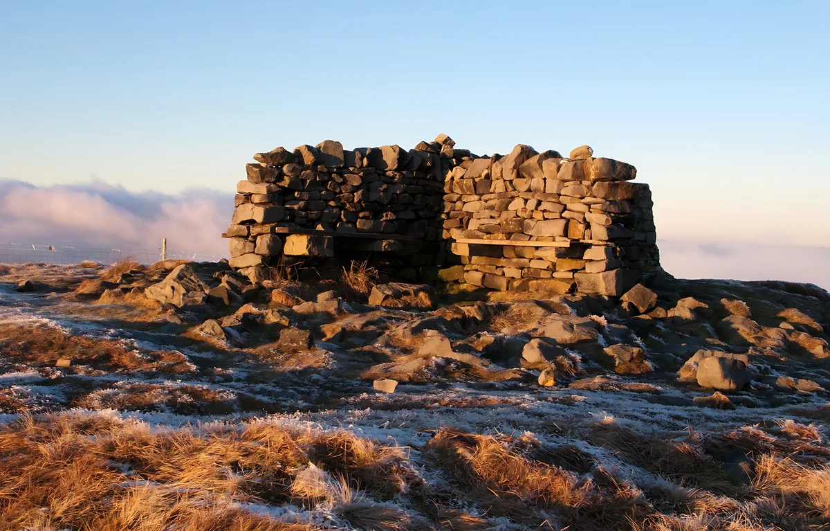
- The summit shelter on Great Shunner FellTrevor Littlewood, CC BY-SA 2.0
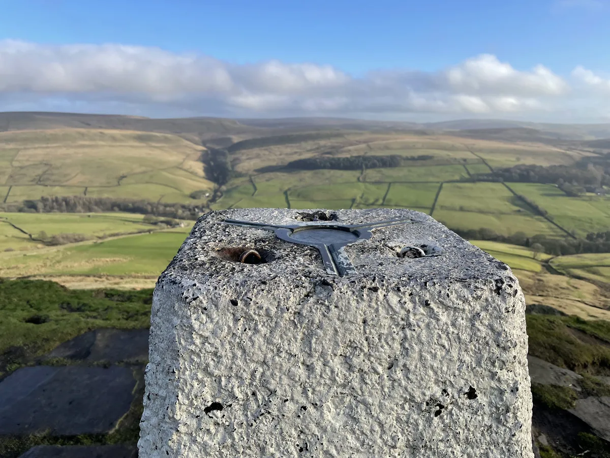
- The trig point on The CalfJohn Ferguson, CC BY-SA 2.0
Photos without a credit are our own. The others are used under Creative Commons licences, with thanks to the photographers.